Last Update: 21-AUG-2018
Woke up to a very cold morning with heavy frost. Another easy day as we only had 57 miles to go today
We ate at the Cedar Grove Restaurant for dinner in King's Canyon National Park. Nothing fancy at all but after a day of many hikes it was good. Mary had chili and they screwed up and gave her two bowls. I had a burger and frys. During dinner it was snowing.
This was bear area so we had to remove all of the food from the truck at night.
We had breakfast bagels to go in the morning from the same Cedar Grove Restaurant.
They had wireless internet but it was not working right. So, I was only able to get mail and not send anything.
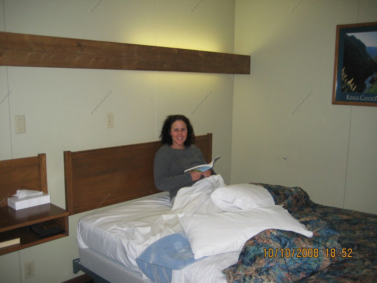
The room was ok but very cold as it was a second floor corner room and had outside on three sides.
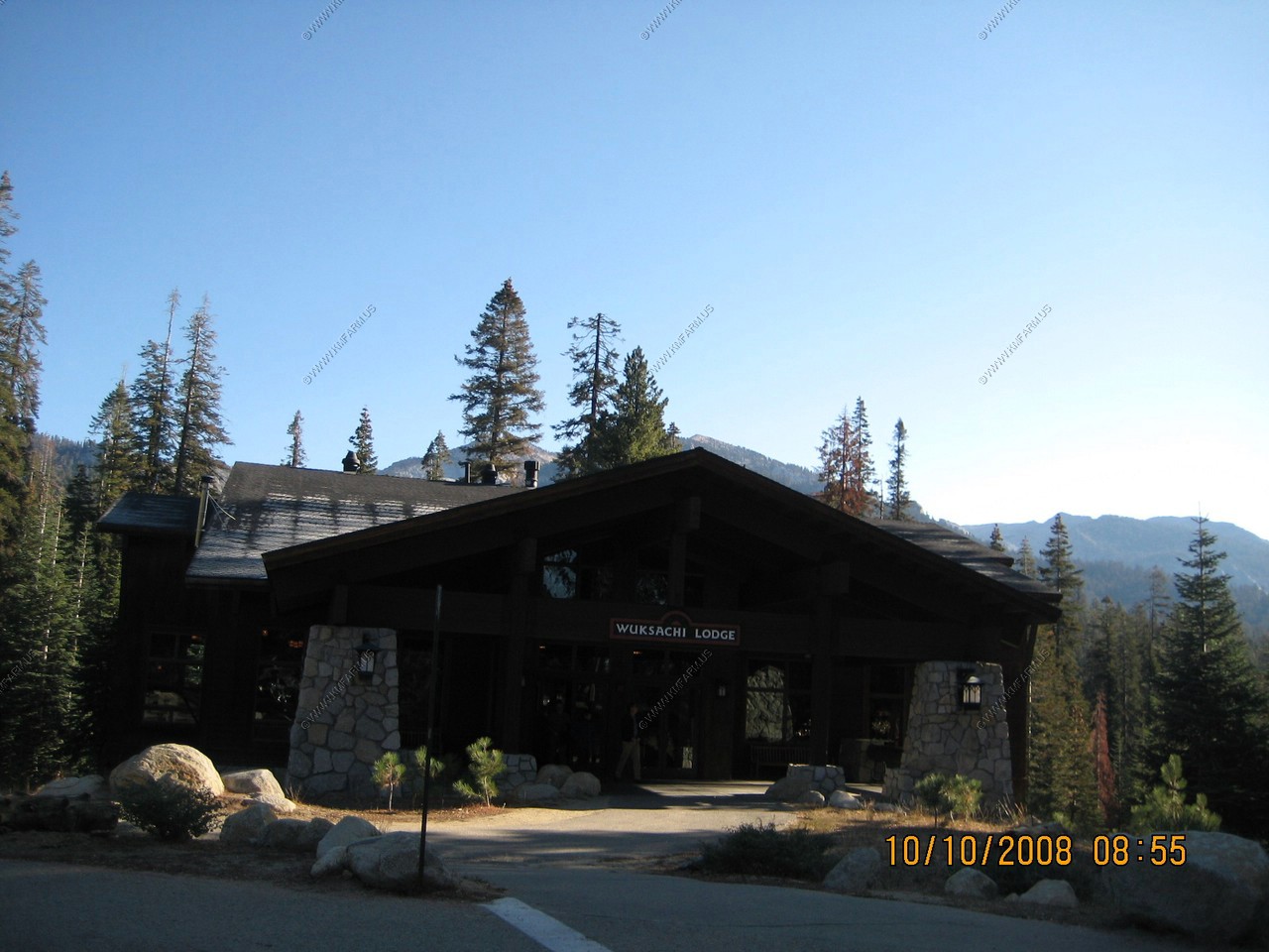
Last look at where we stayed, the Lodge at Wuksachi Village.
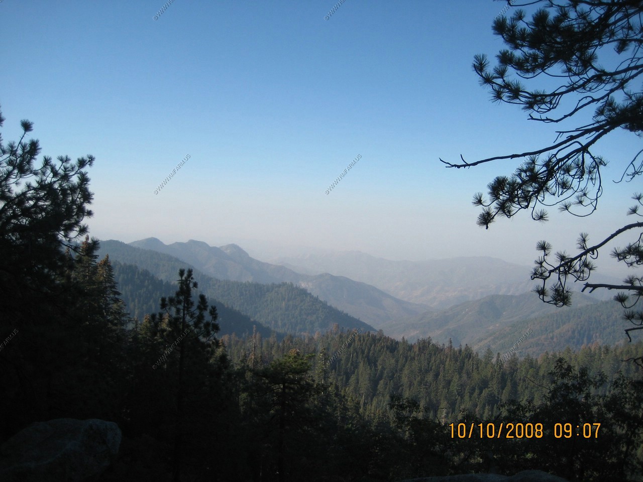
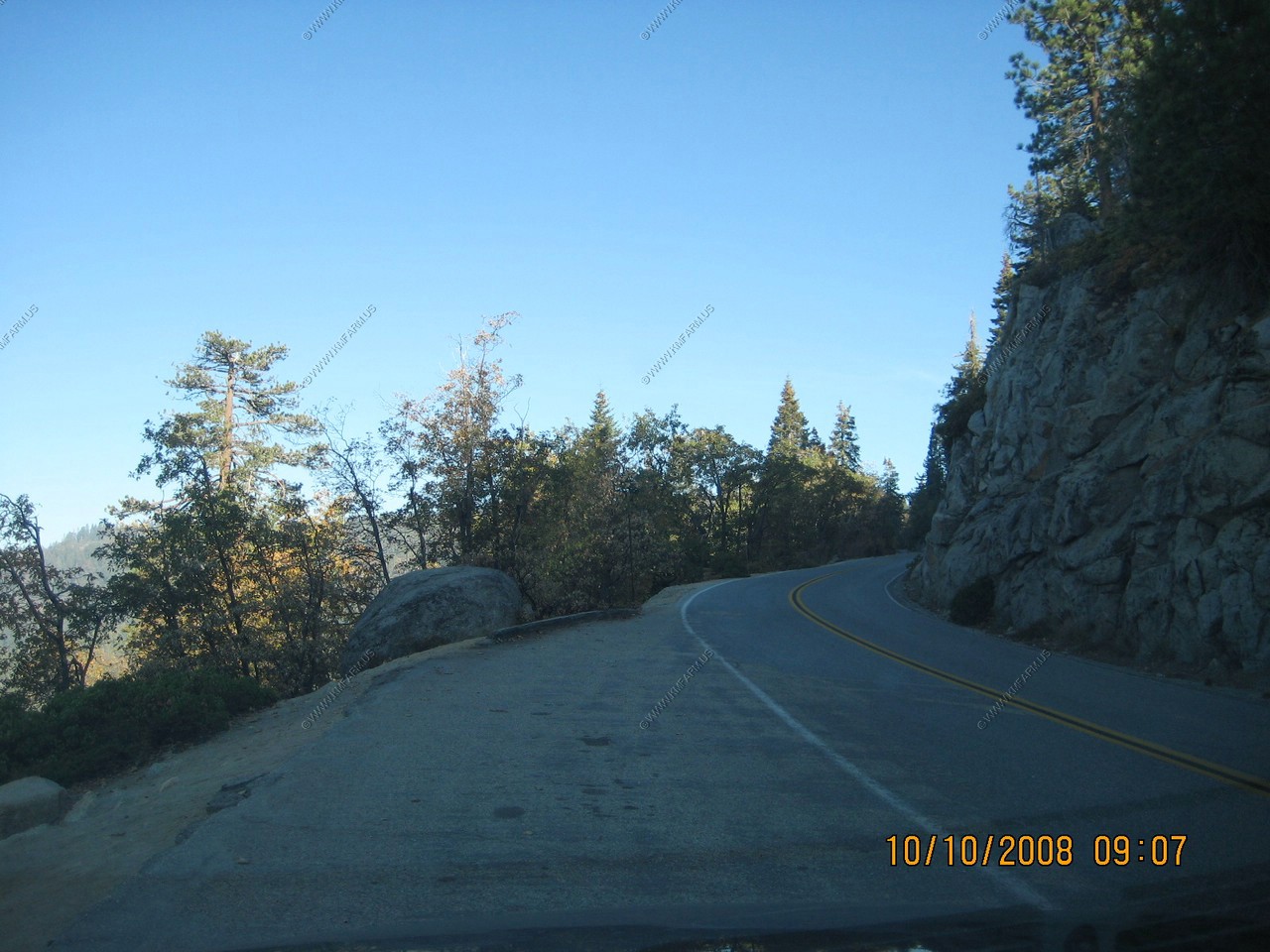
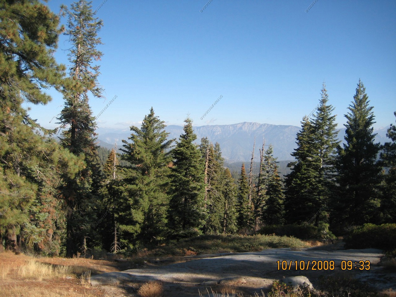
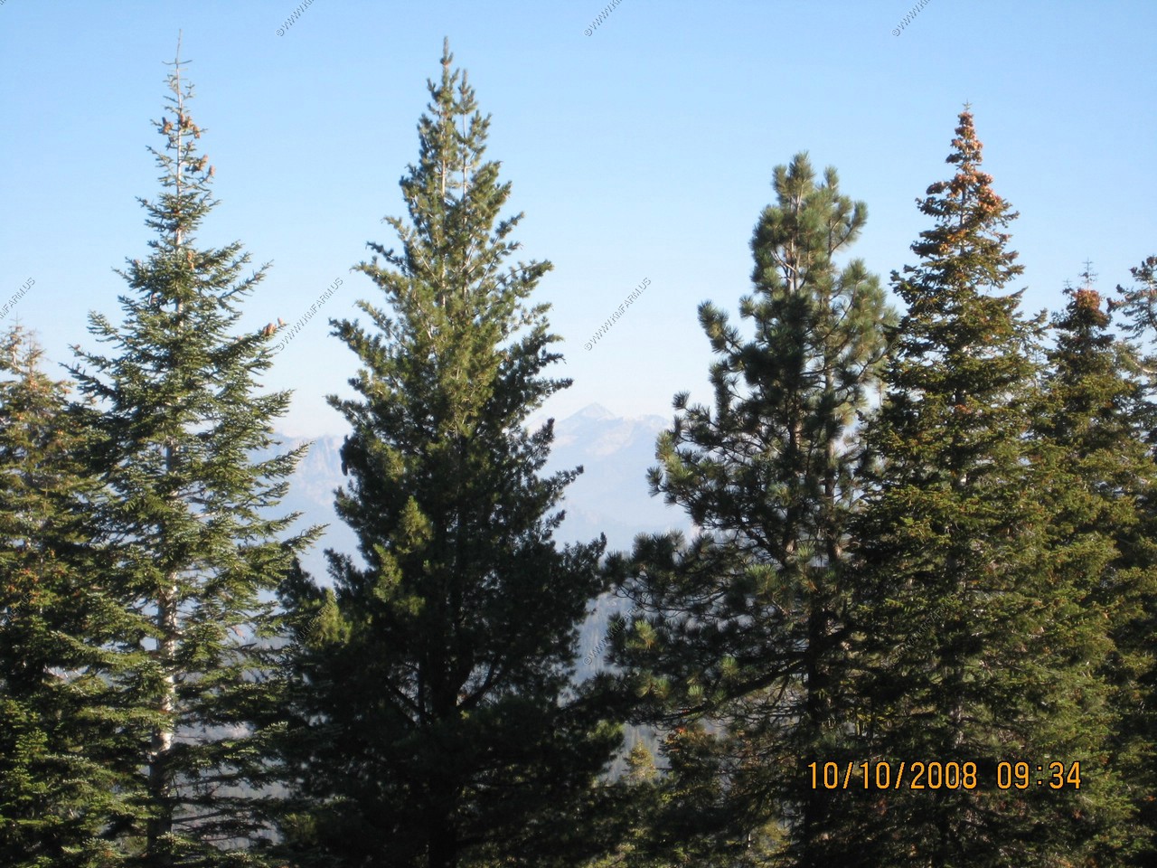
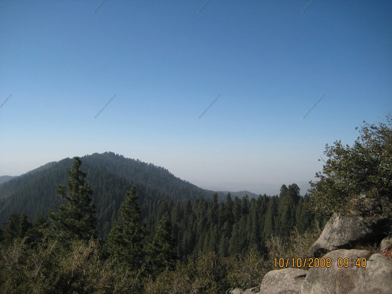
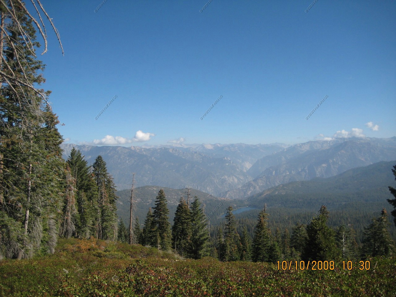
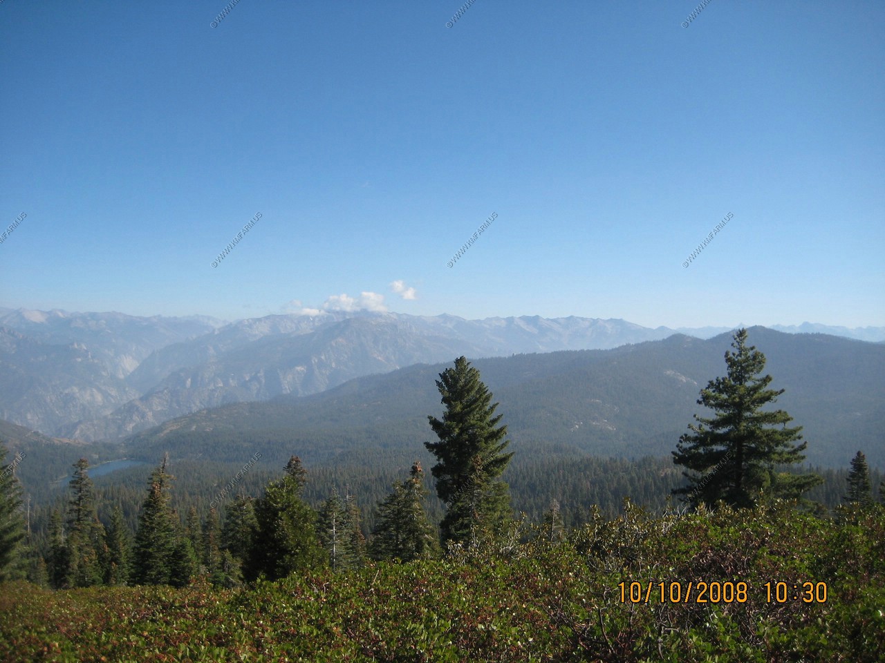
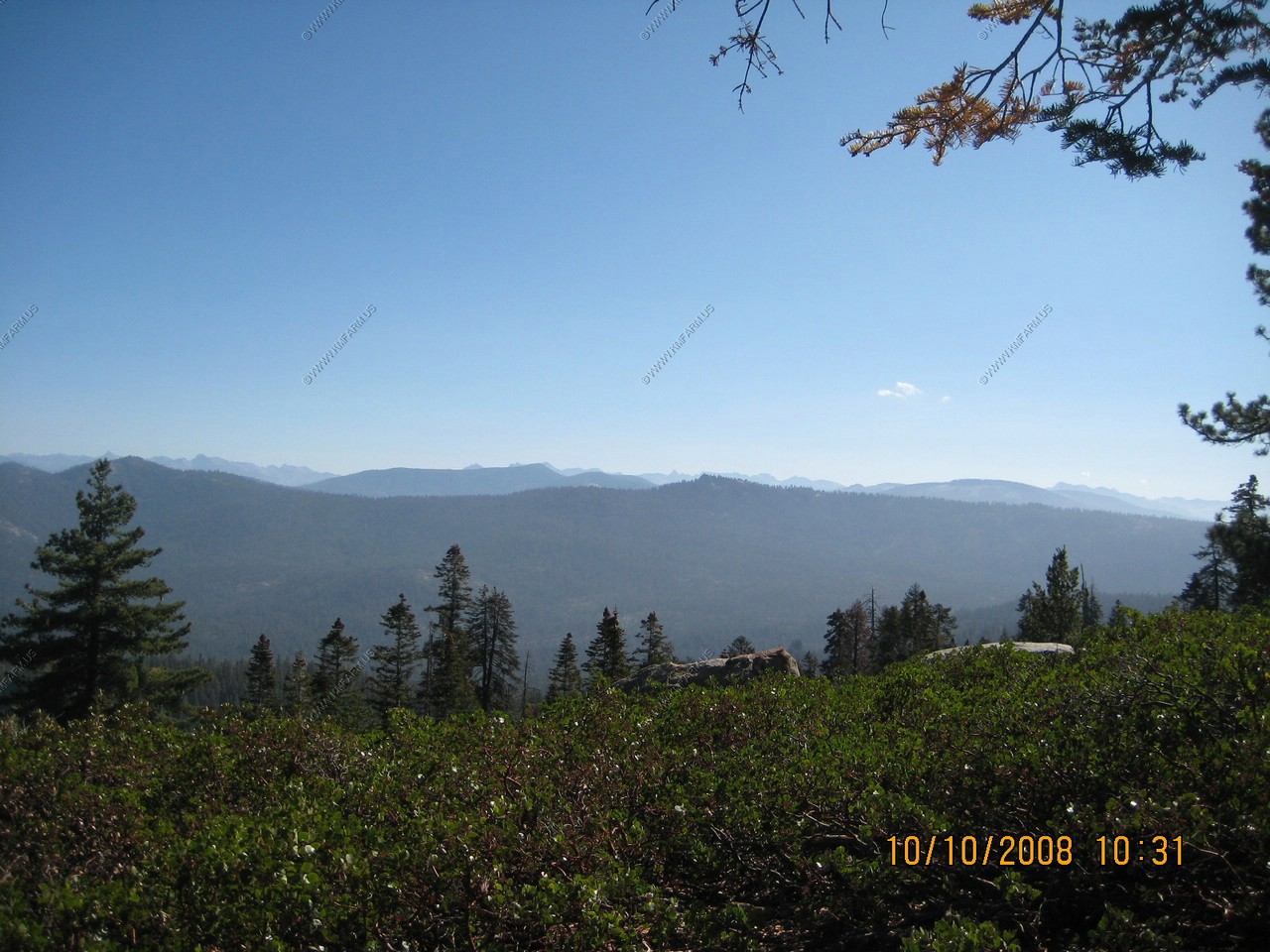
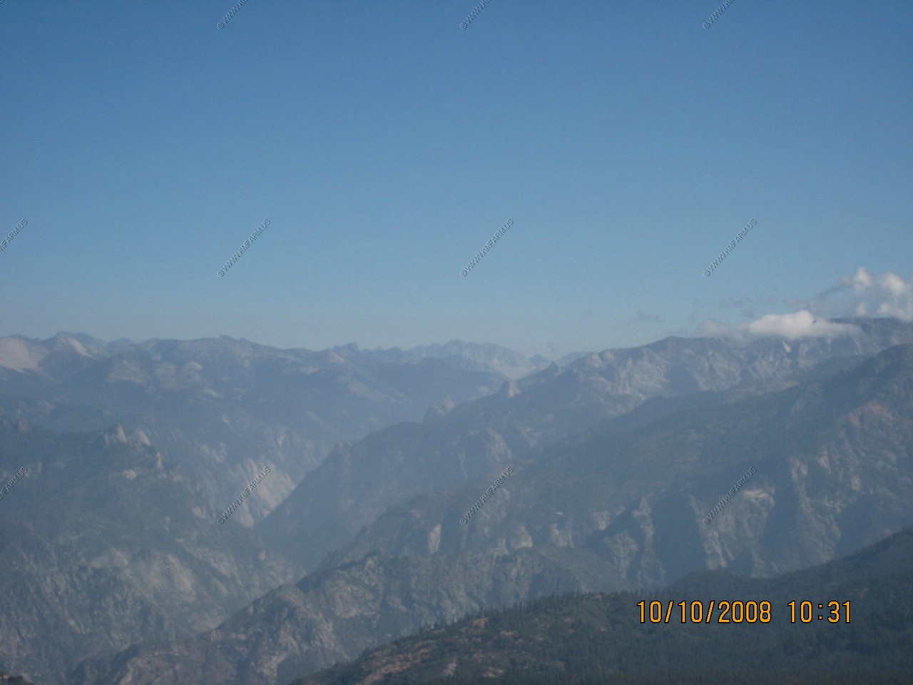
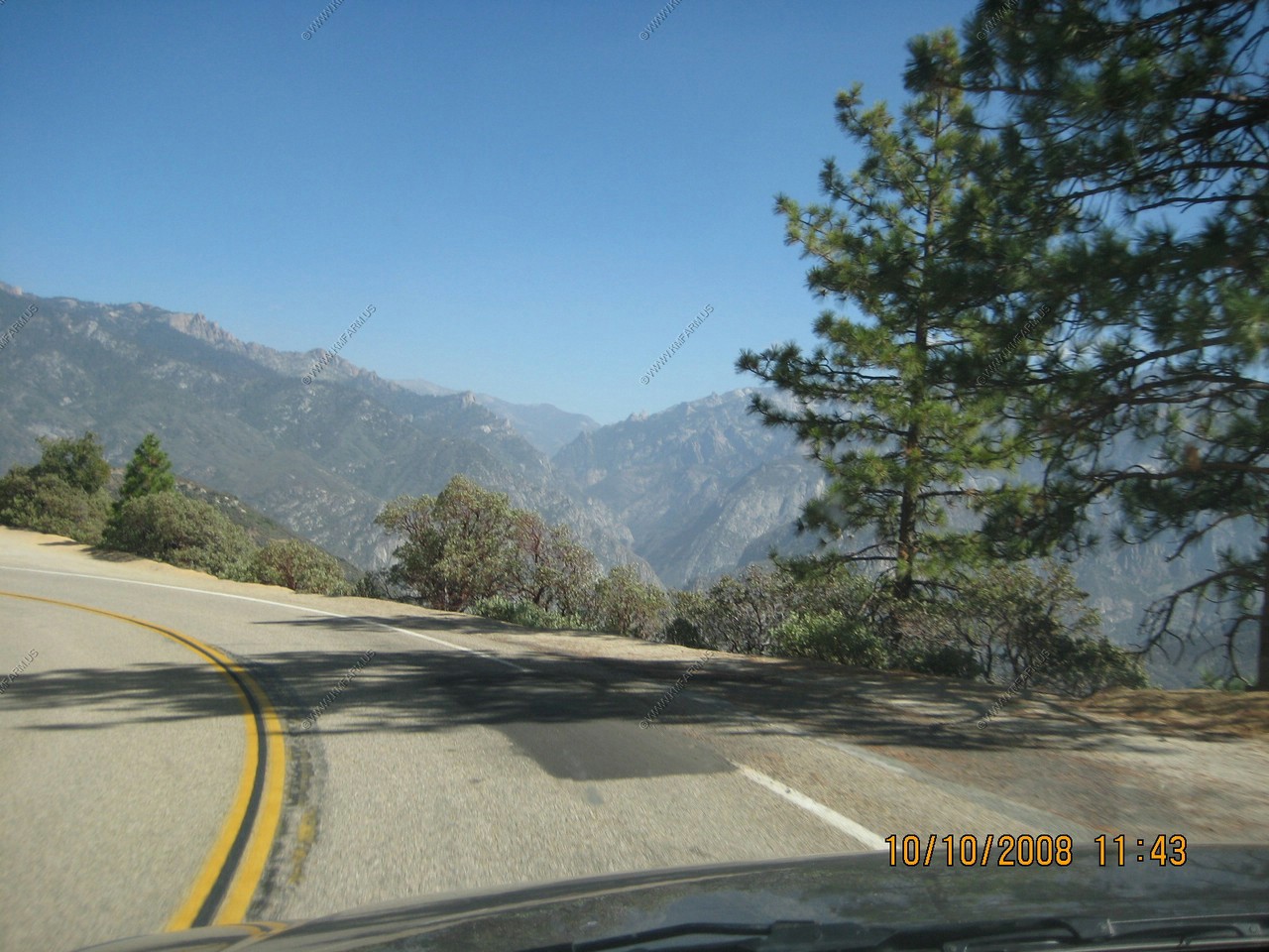
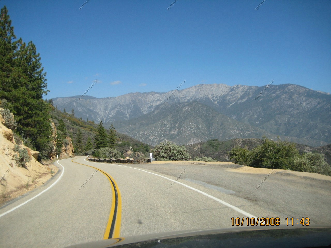
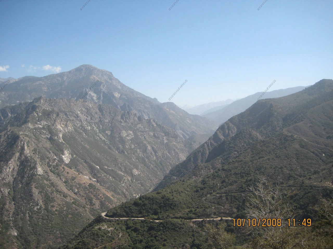
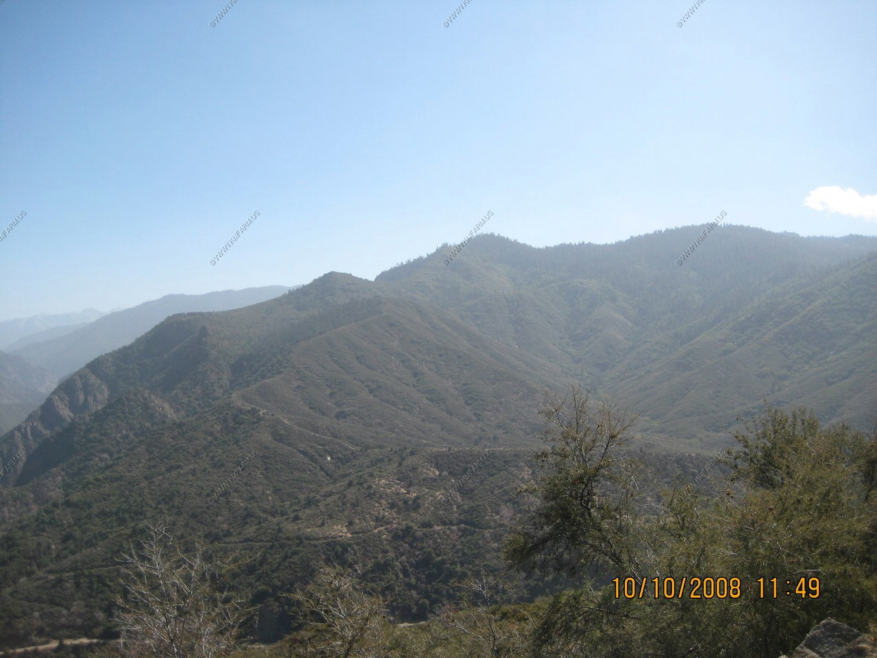
Views along the Generals Highway:
Wilderness preserved!
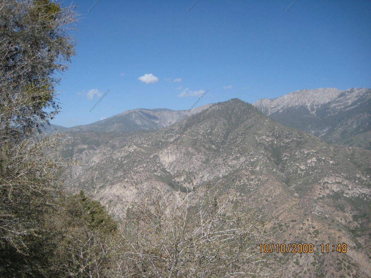
From this vantage point you catch but a glimpse of a mountain wonderland. These Sierra Nevada wildlands contain some of the most spectacular scenery on the face of the earth. Jagged peaks drop into glacially carved "Yosemite" Valleys visited by but a handful of people each year. Bowl-shaped cirques cradled Jewel-Like tarnes, lakes left over from the last ice age and awaiting the next.
What you are viewing is part of the second largest roadless landscape in the lower 48 states. Straight ahead in the distance is the wilderness of Kings Canyon National Park. To your left are the Monarch and John Muir wilderness areas.
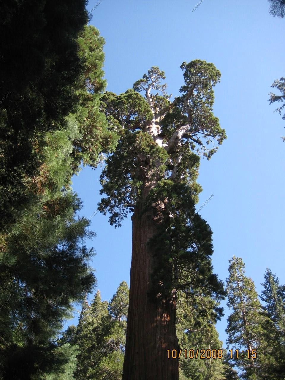
The world's largest Sequoia Grove
You are looking at the world's largest Grove of the world's largest tree - The Giant Sequoia. The Redwood Mountain Grove of giant Sequoias covers almost five square miles and sweeps from the east side of Big Baldy Ridge on your left to the west side of Redwood Mountain on your right. It contains over 2,100 Sequoias larger than 10 feet in diameter. The Redwood Mountain Grove wasn't always the world's largest. At one time the Converse Basin Grove 10 miles north of here held that title, but during the early 1900s most of its trees fell to the lumberman's saw. Not all threats to the giant Sequoia's are behind us. Scientists today are studying the effect air pollution from the San Joaquin Valley has on the giant sequoias.

Panoramic Point (El. 7520)
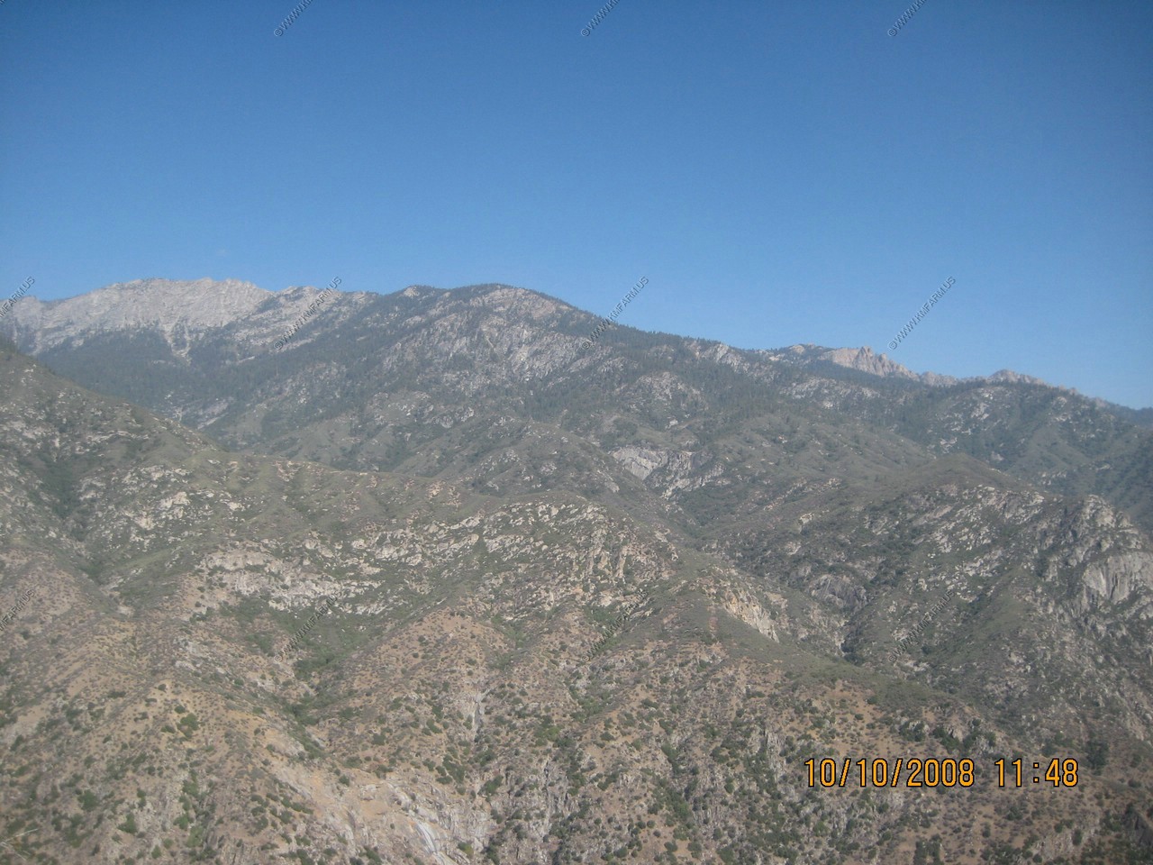
Before you stretch as the Sierra Nevada... the Snowy Range. Geologist interpret the topography of the Sequoia and Kings Canyon region - the hige mountains and deep canyons, the rocks, the hills and valleys - as the result of forces operating over millions of years. Tremendous earth upheavals, erosion, the movement of ponderous glaciers and raging rivers, the winds and changing temperatures all have had a part in sculpturing this vast region.
Ages ago a huge block of the Earth's crust 40 to 80 miles wide and 430 miles long, was uplifted steeply on the east and gradually tilted Westward in several major stages. The tilting increased downcutting of the rivers which carved the canyons and defined peaks. Alpine glaciers further outlined the sharp peaks and molded the canyons. Although reduced to only a fraction of their former size, glaciers continue to modify these mountains, adding beauty and adornment to the land. North Palisade glacier, the Park's largest, lies behind North Palisade (34 miles distant on the Sierra Crest).
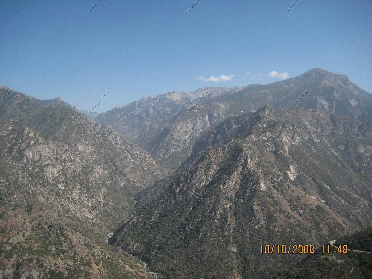
The lake in the photo is Hume Lake (El. 5,201)
The canyon streaching out in the center is Middle Fork Kings Canyon.
North Palisade (El. 14,242) Located in the center of the photo
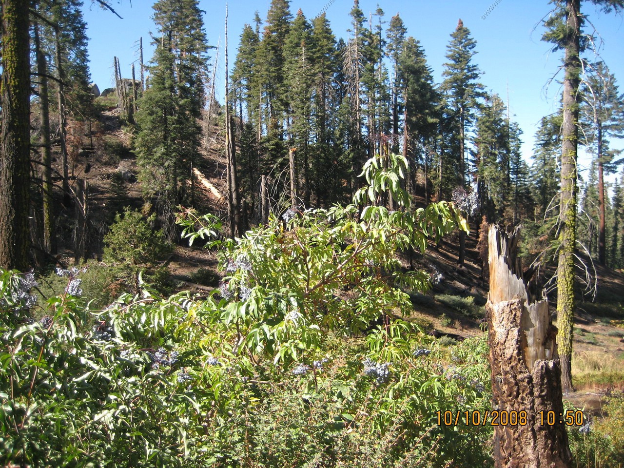
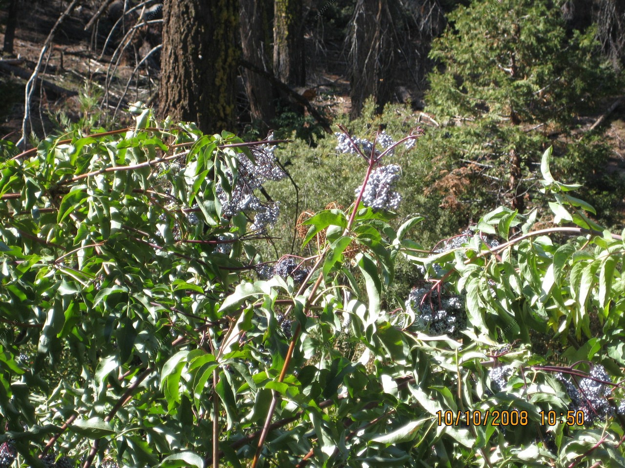
Blue elderberry plants growing in the 4,000 to 6,000 range
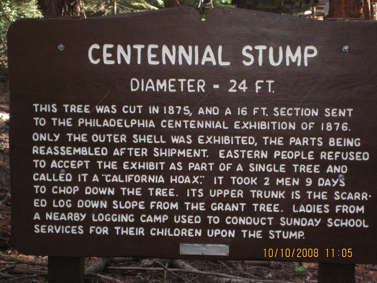
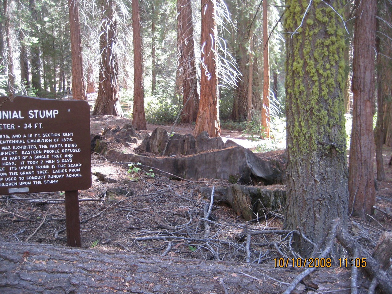
Centennial Stump
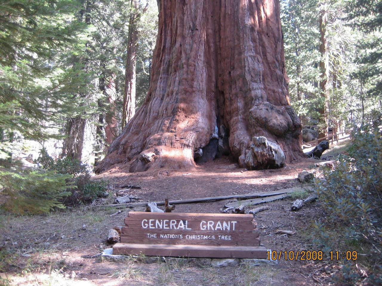
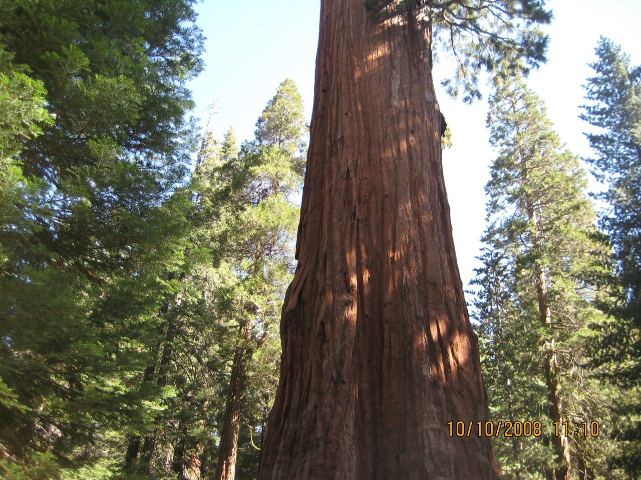
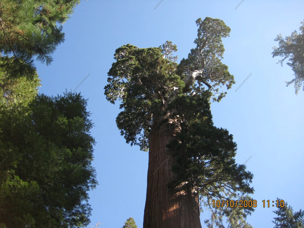
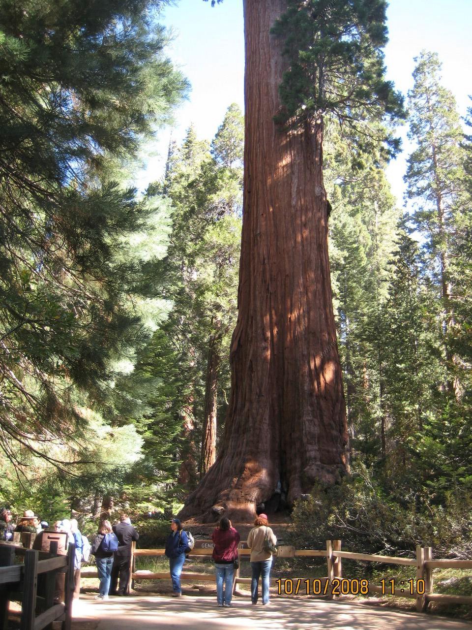
Grant Grove, (El. 6,589)
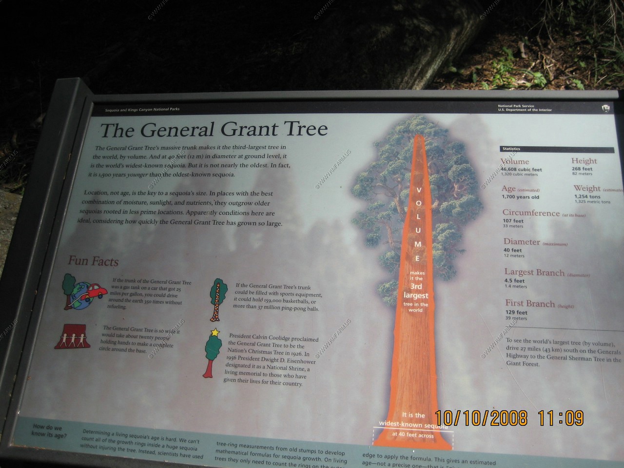
The General Grant Tree
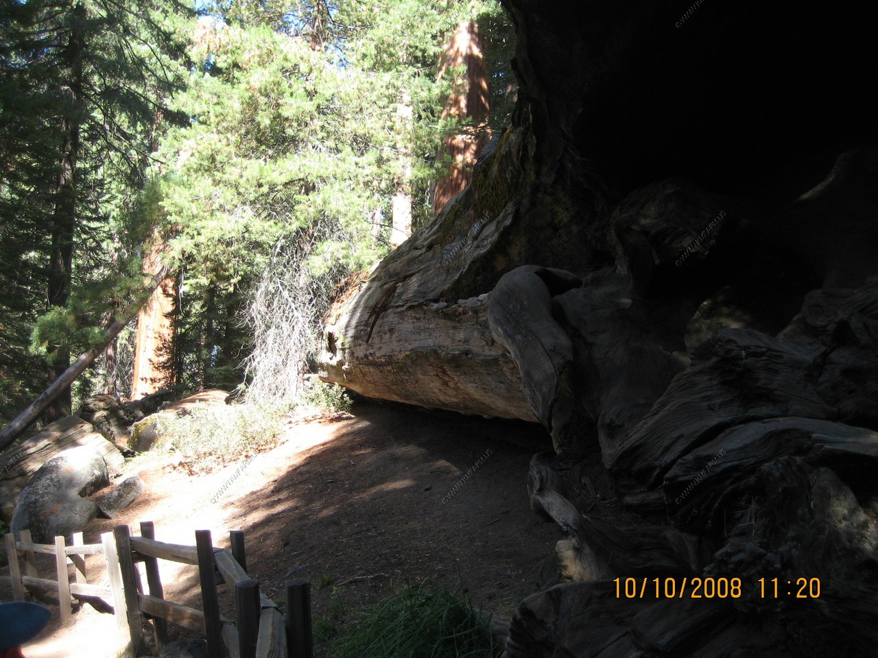
Michigan tree
This tree was once known as the spring tree because of the spring at its base. The same spring undermined the tree causing it the fall in 1931
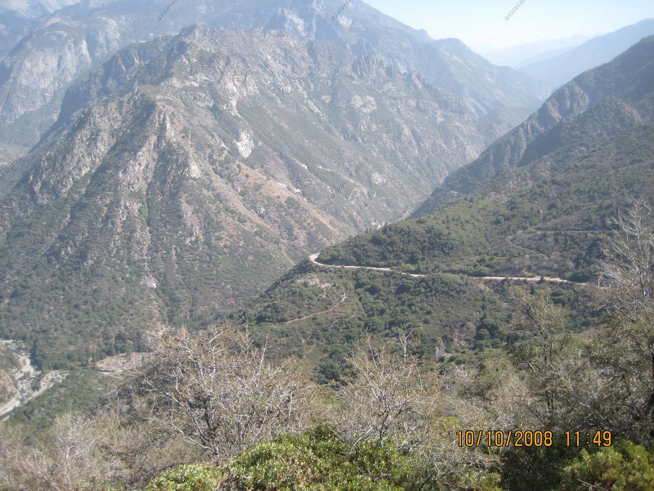
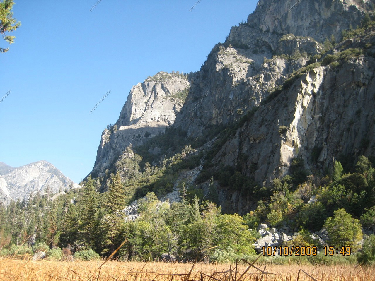
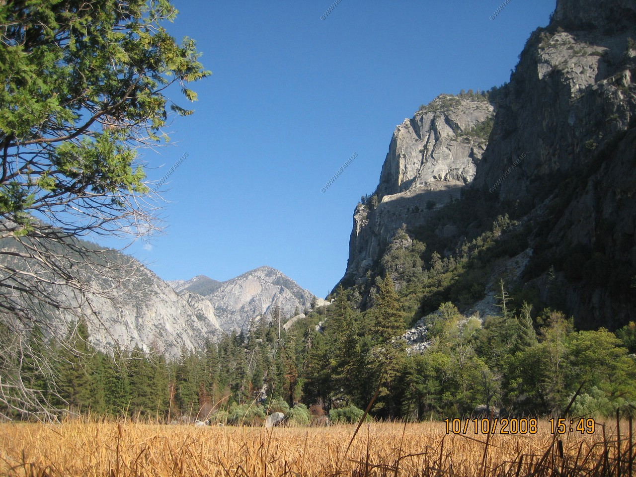
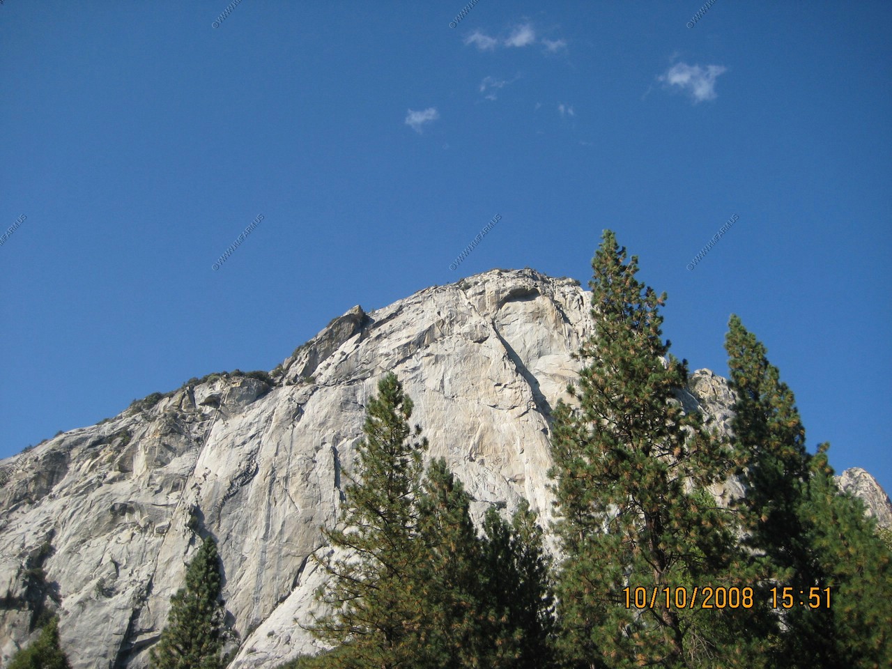
Starting to enter Kings Canyon. Nice drop-offs and great views.
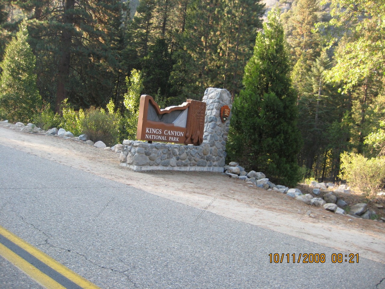
Welcome to Kings Canyon National Park
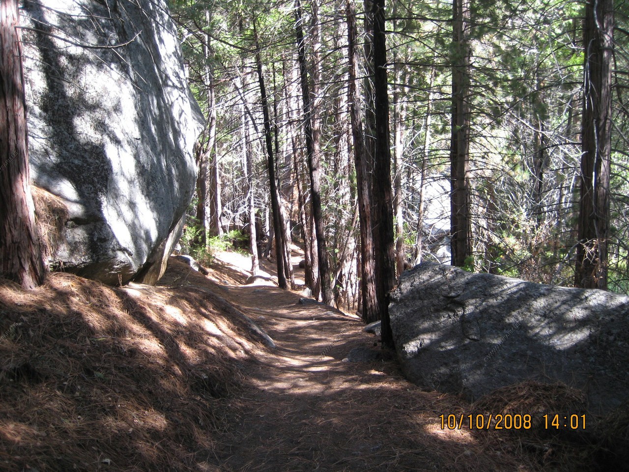
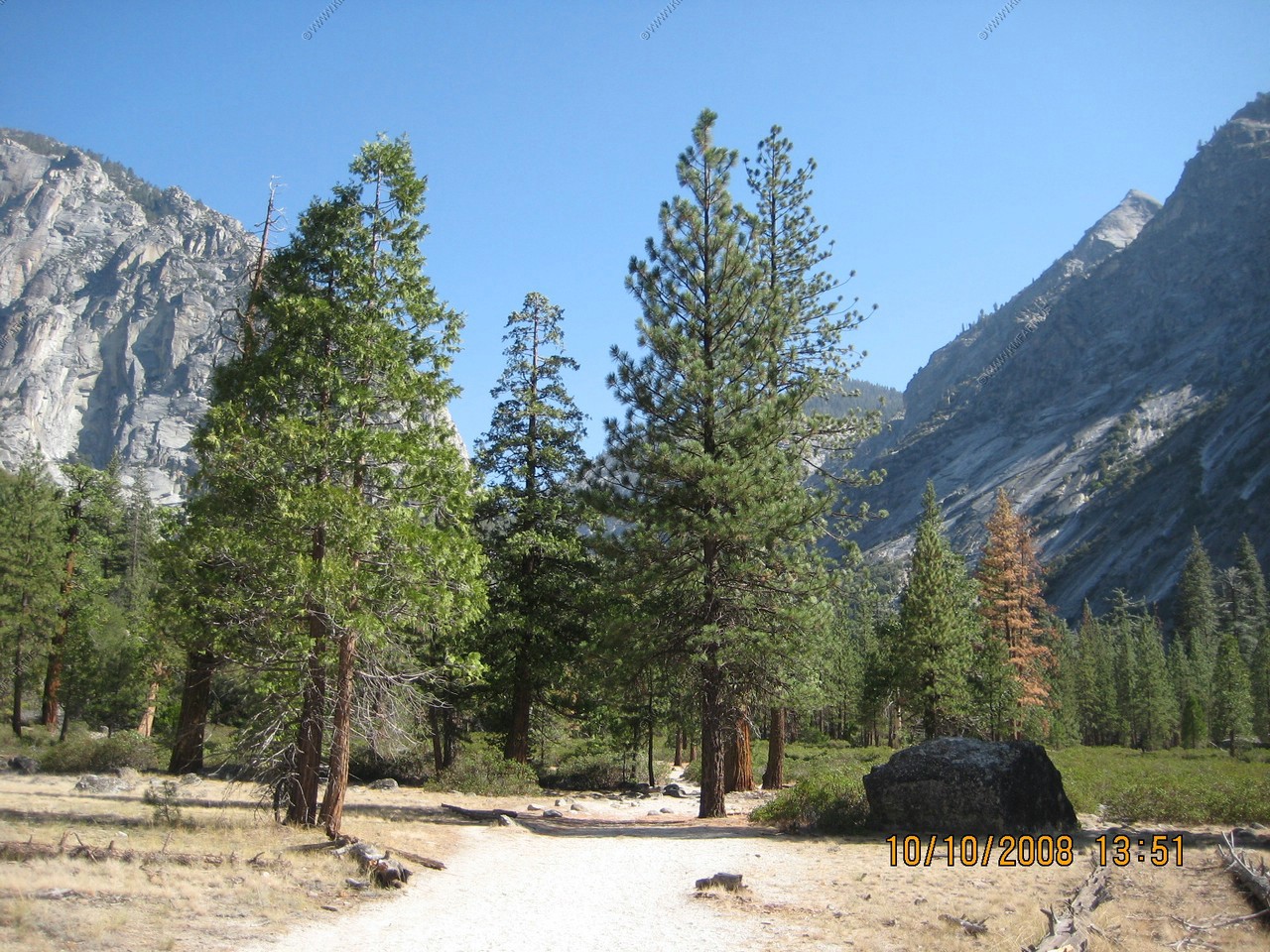
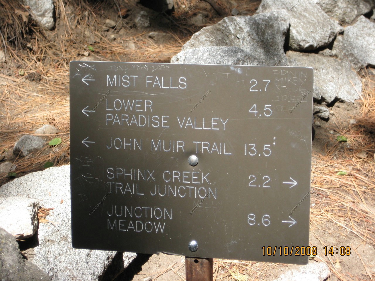
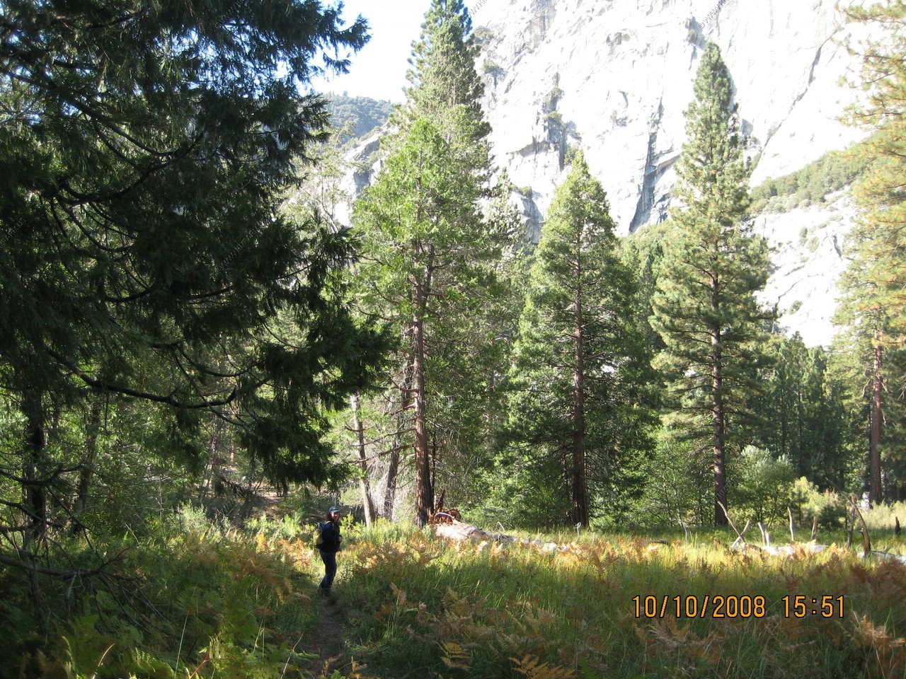
We took the 4 mile round trip hike to Bubbs Creek that started at the Roads End in the Cedar Grove area. This trail also went to Mist Falls (4.6 miles one way) and Paradise Valley (6.5 miles one way)
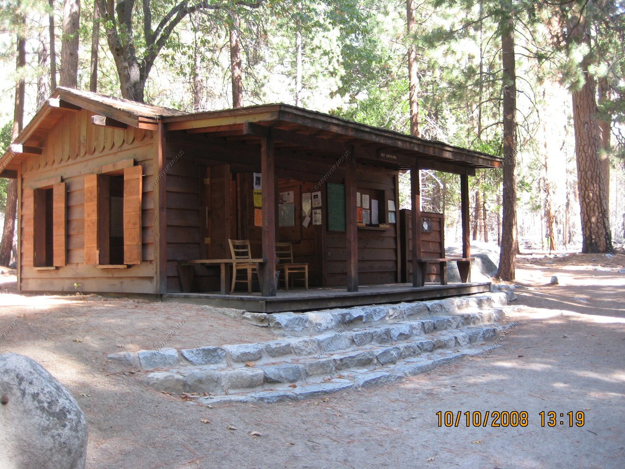
Nice visitor / check-in station located at the trail head.
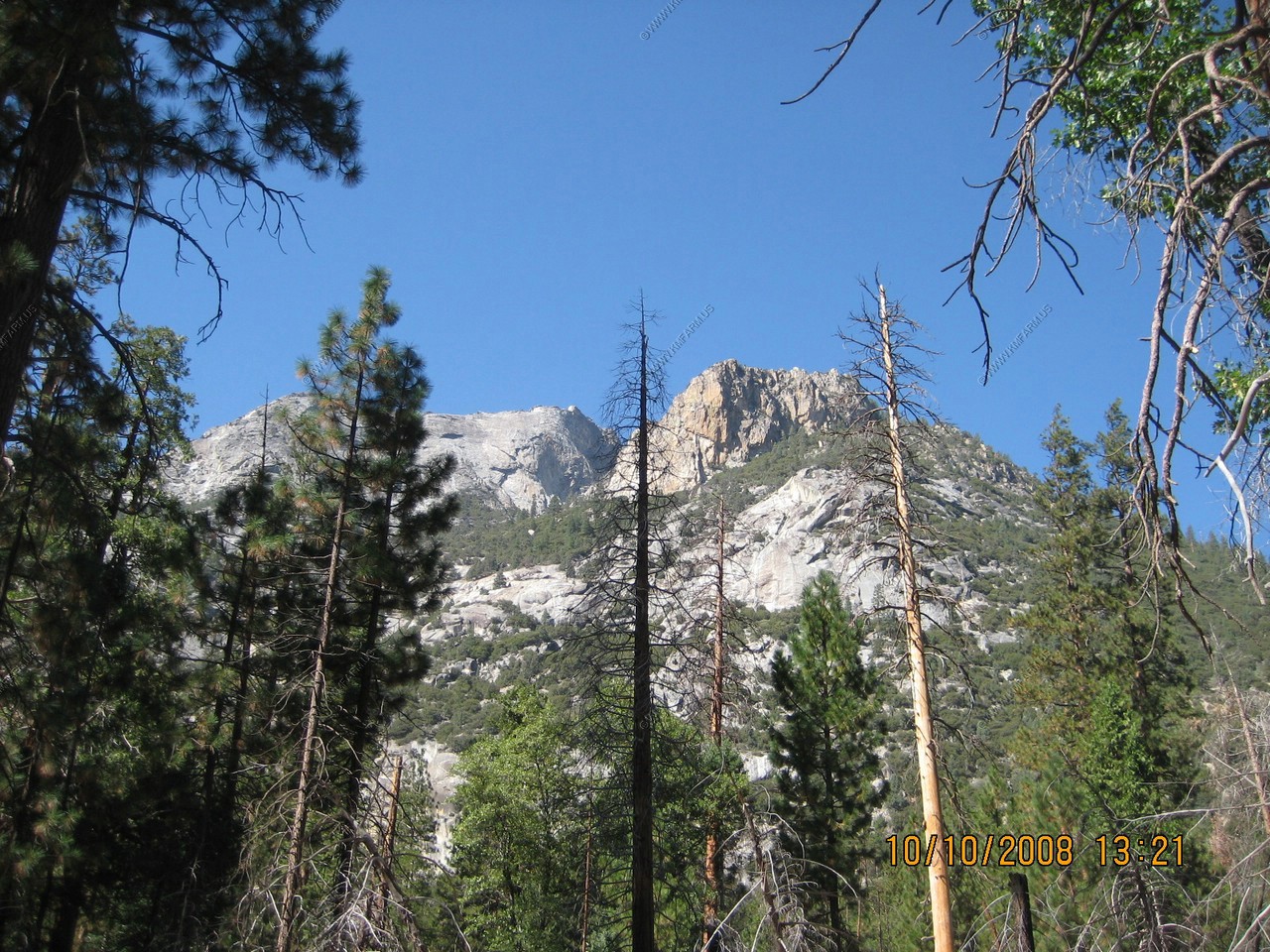
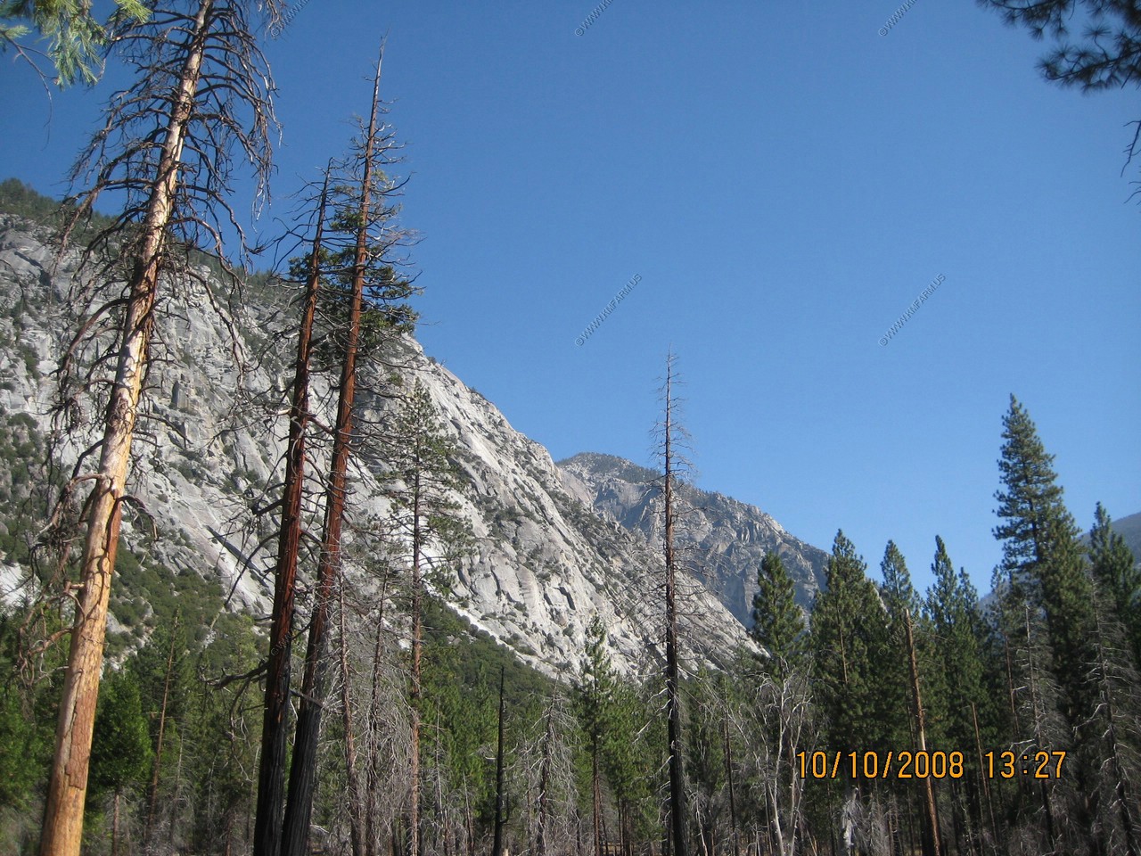
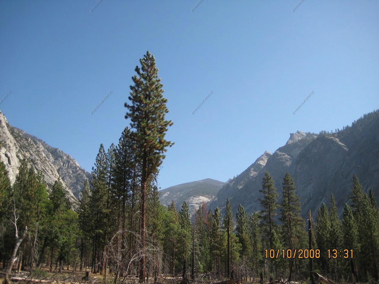
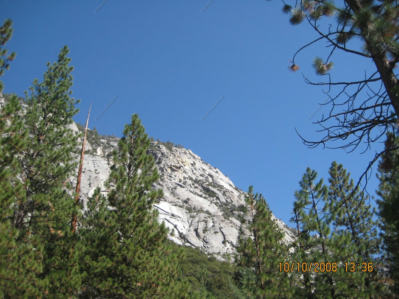
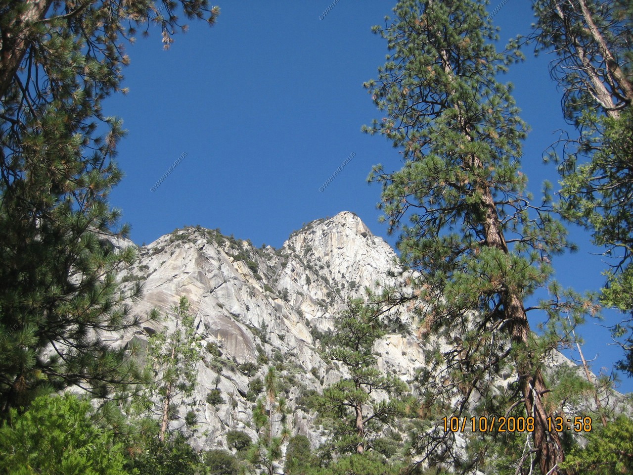
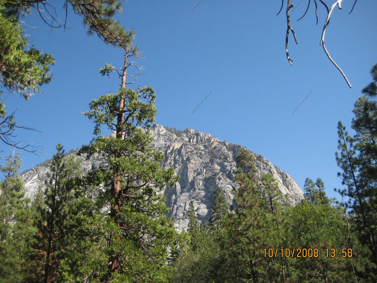
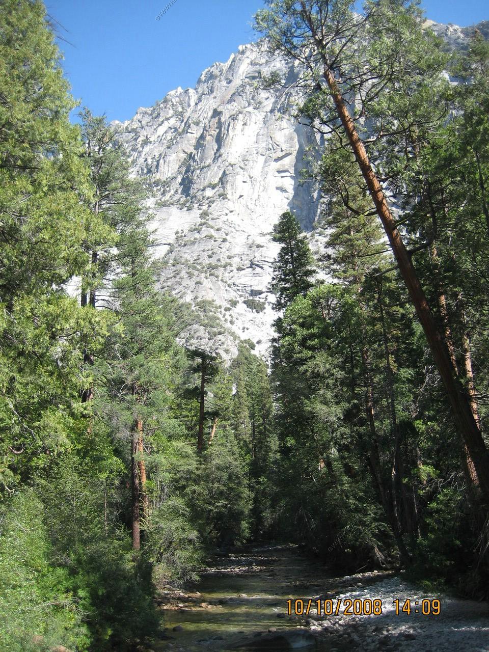
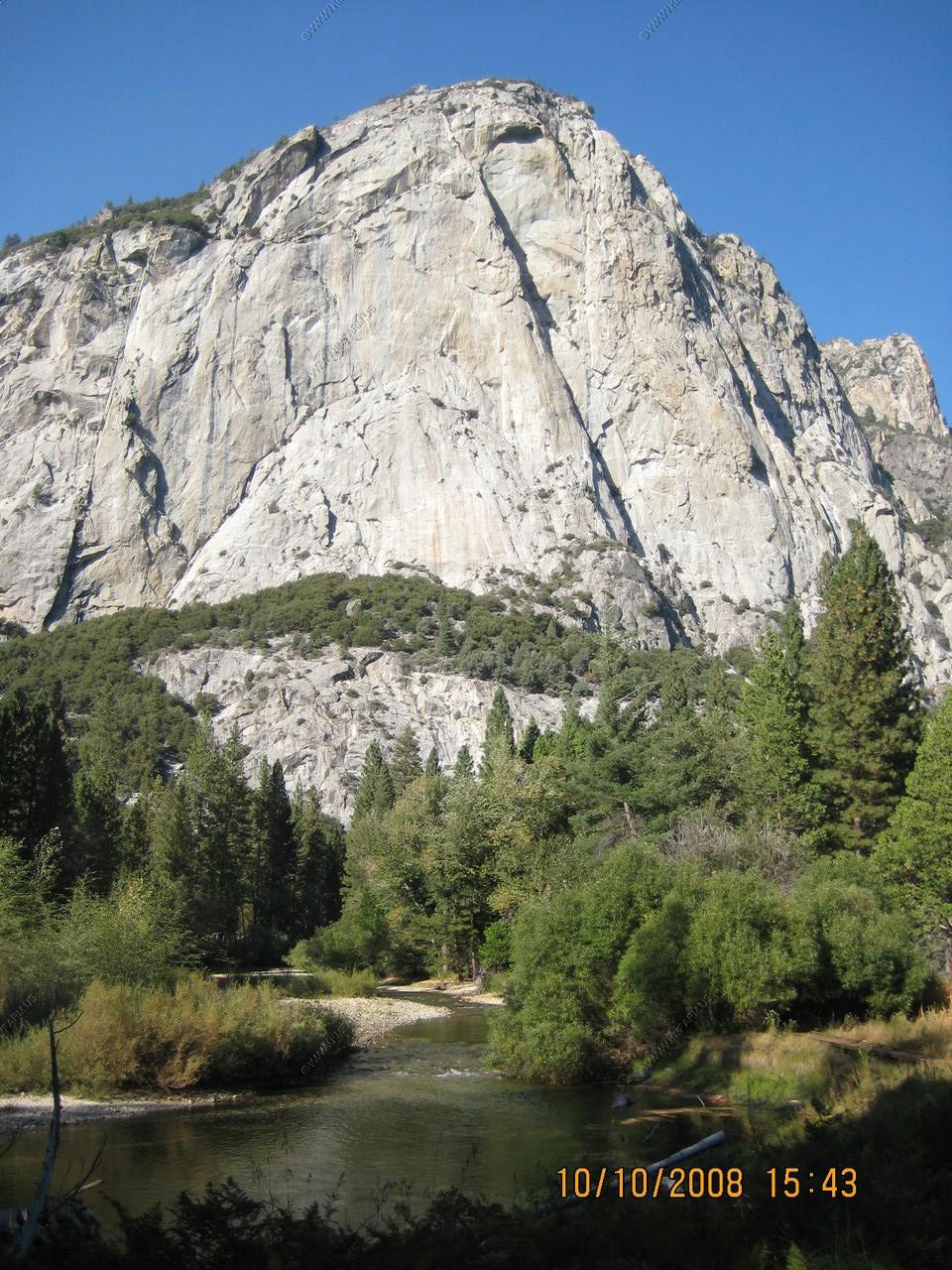
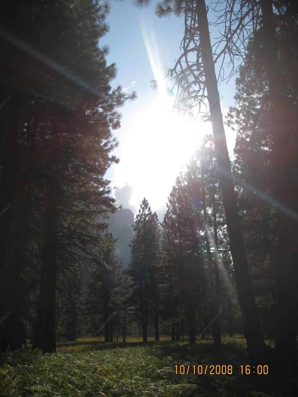
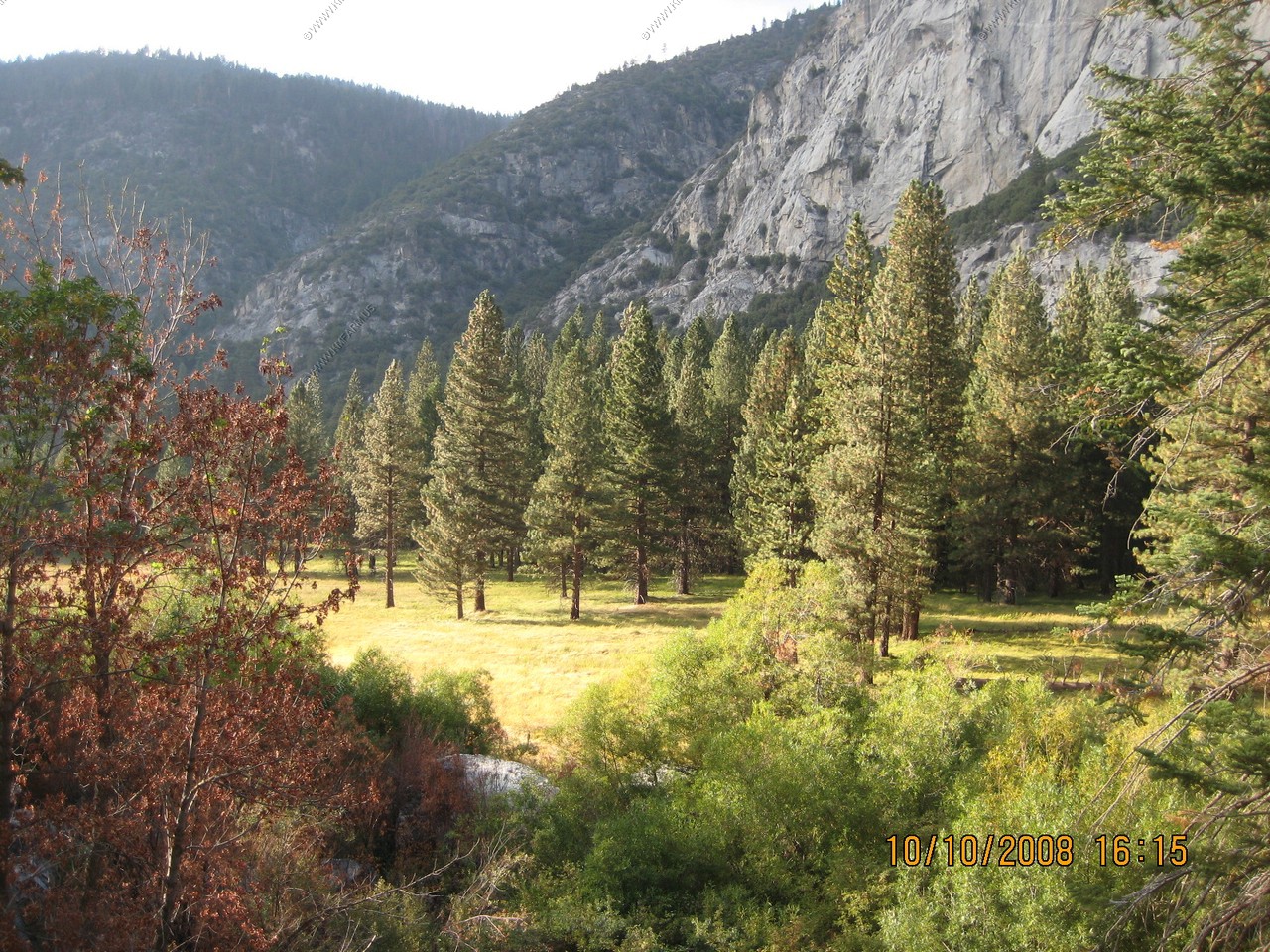
Views along the trail.
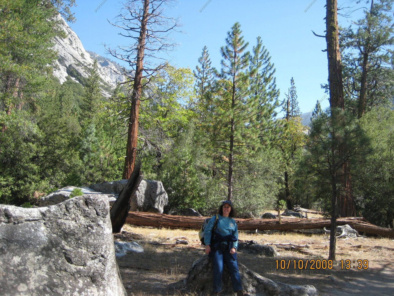
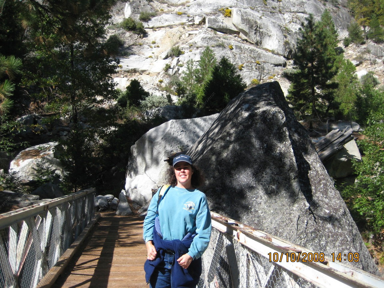
Mary taking a break
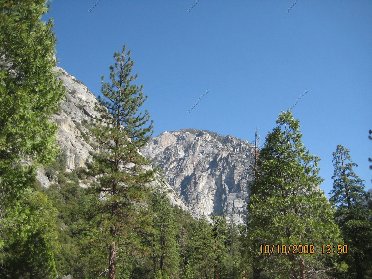
Less air pollution here. The sky is never this blue in the east!
Many other hiking options but all up hill from here.
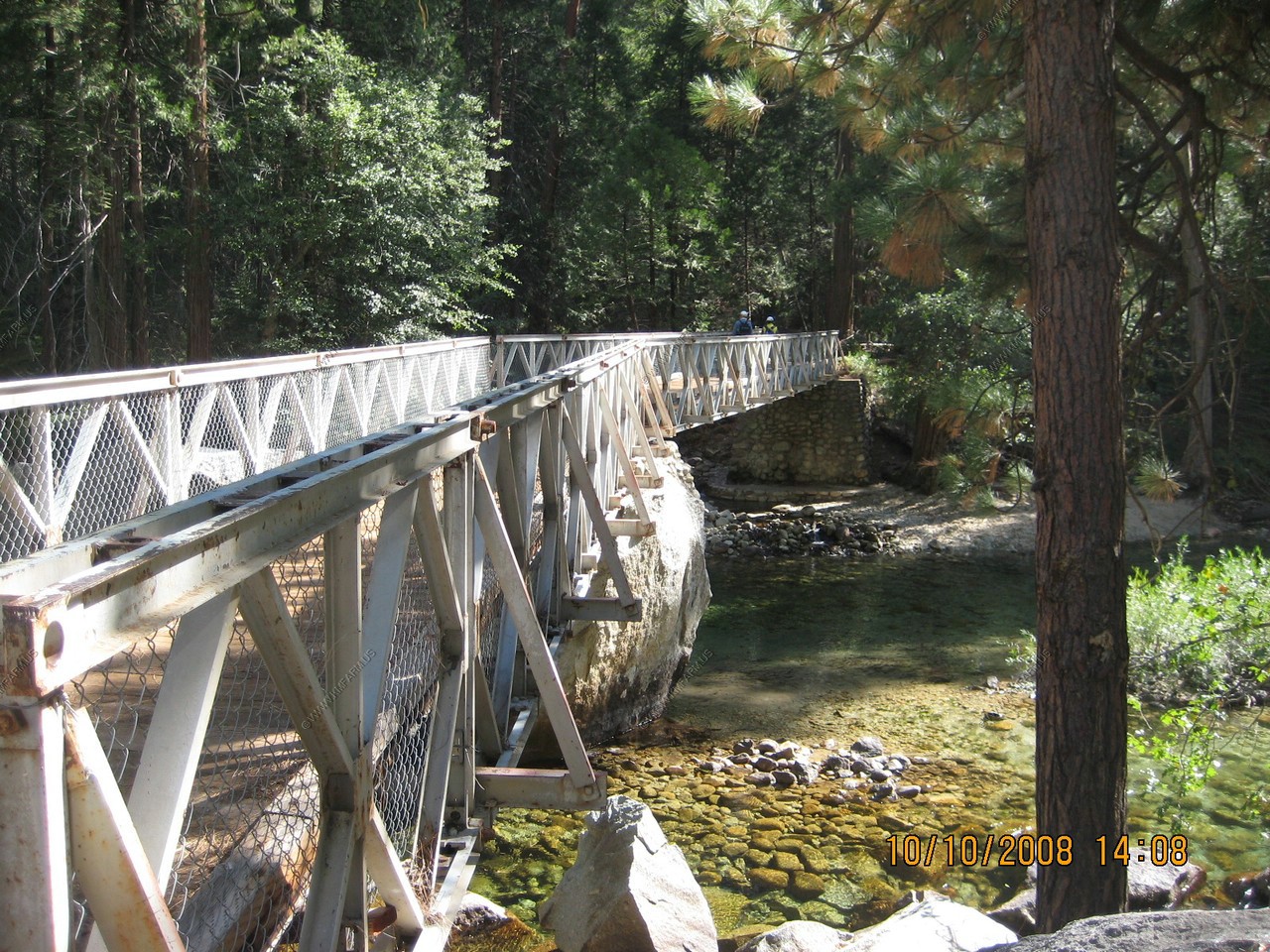
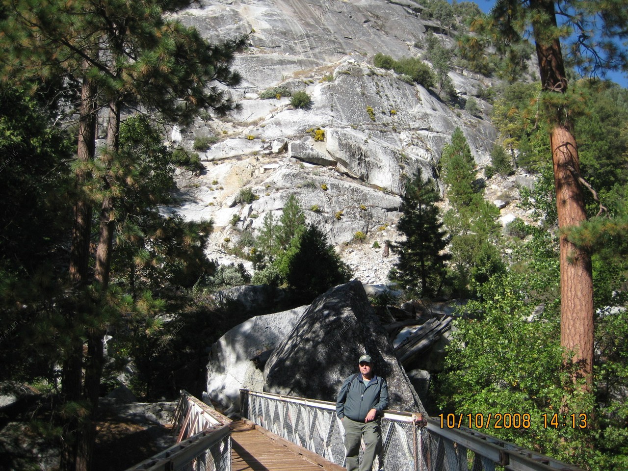
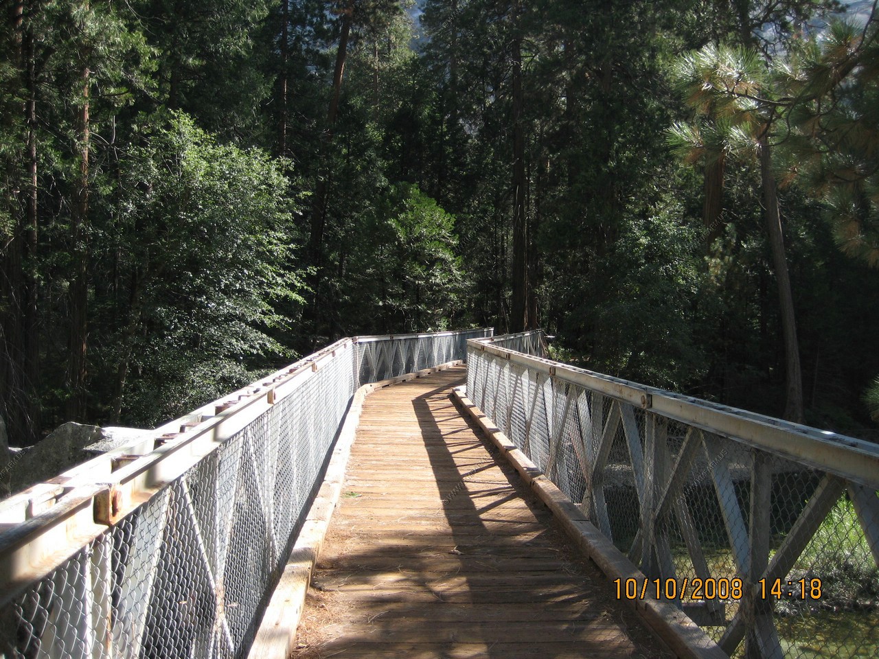
Nice bridge 2 miles from any road. Crosses the South Fork Kings River.
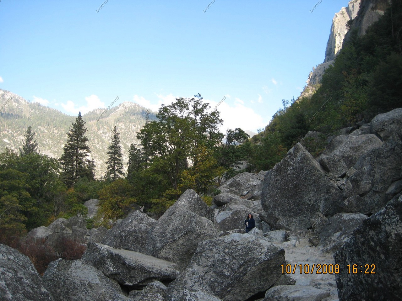
Zumwalt Meadows Trail. A 1.5 mile loop. Part on boardwalk, part in the woods and the rest over broken rock!
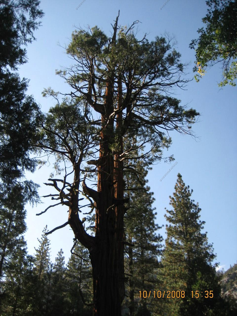
An old incense-cedar surrounded by a group of its offspring. Beyond the incense-cedars grows many Ponderosa pines--one of the most common trees of dry, exposed slopes in these mountains.
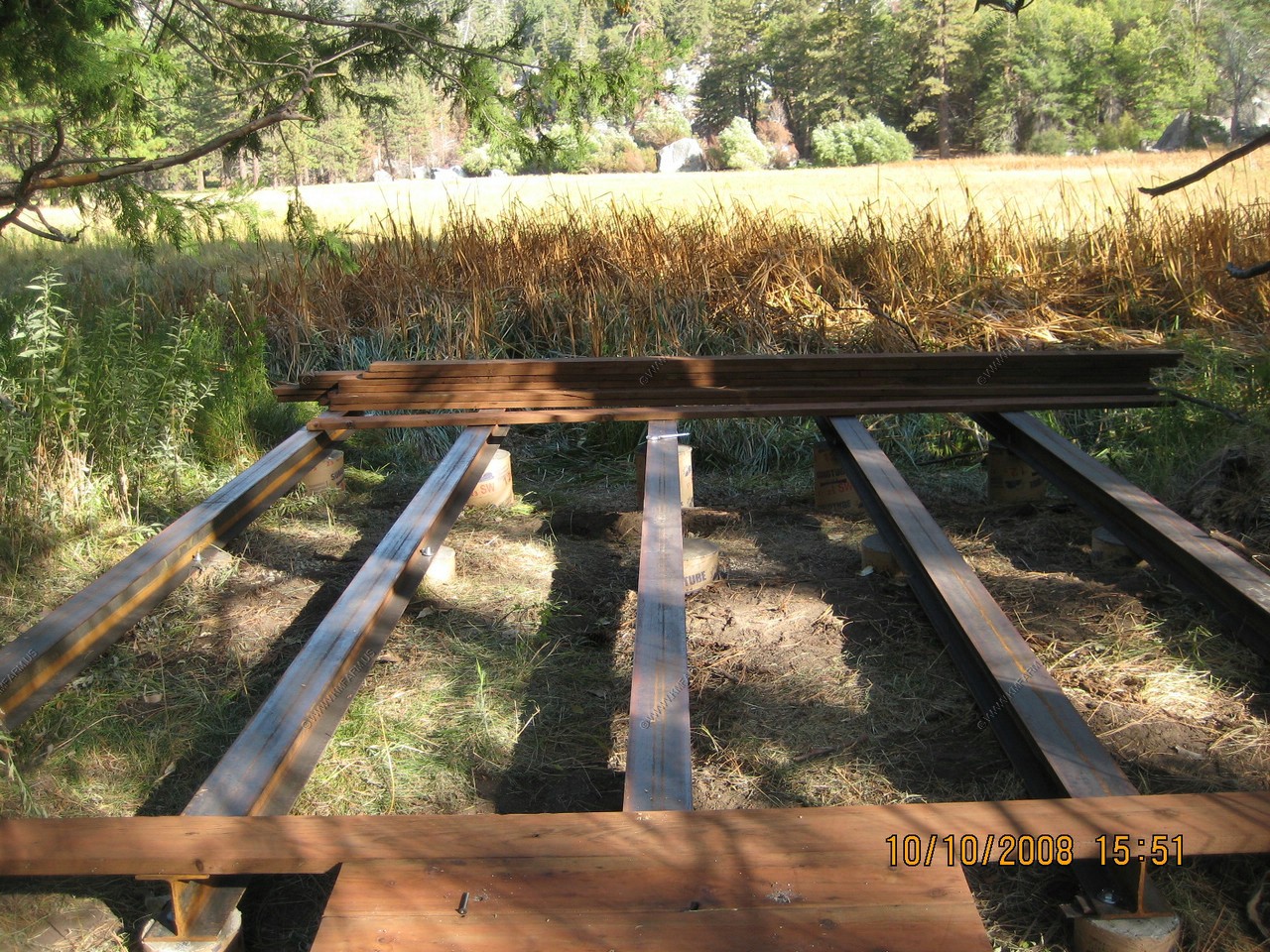
New Boardwalk being built
Mary along the trail
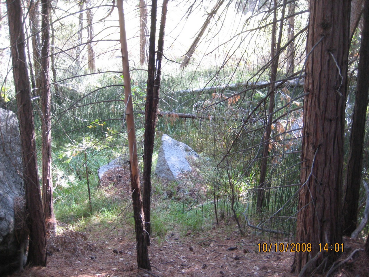
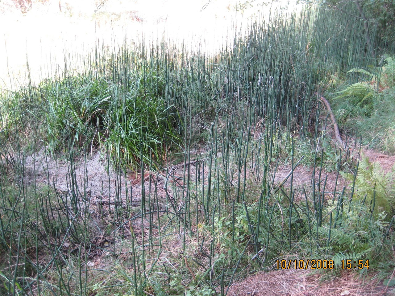
Palustrine wetlands dominated by horsetail and views along the trail
The trail gets a bit rough
In the lodge and freezing!