Last Updated: 21-AUG-2018
Another very easy day of appx. 100 miles of driving.
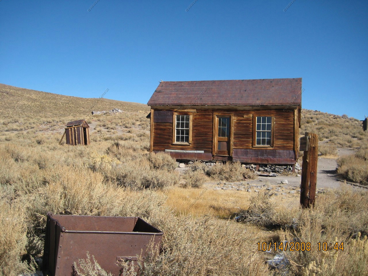
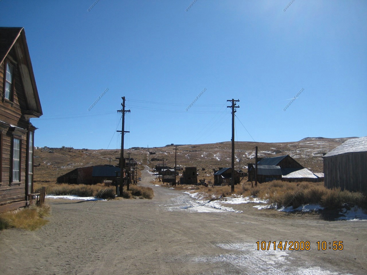
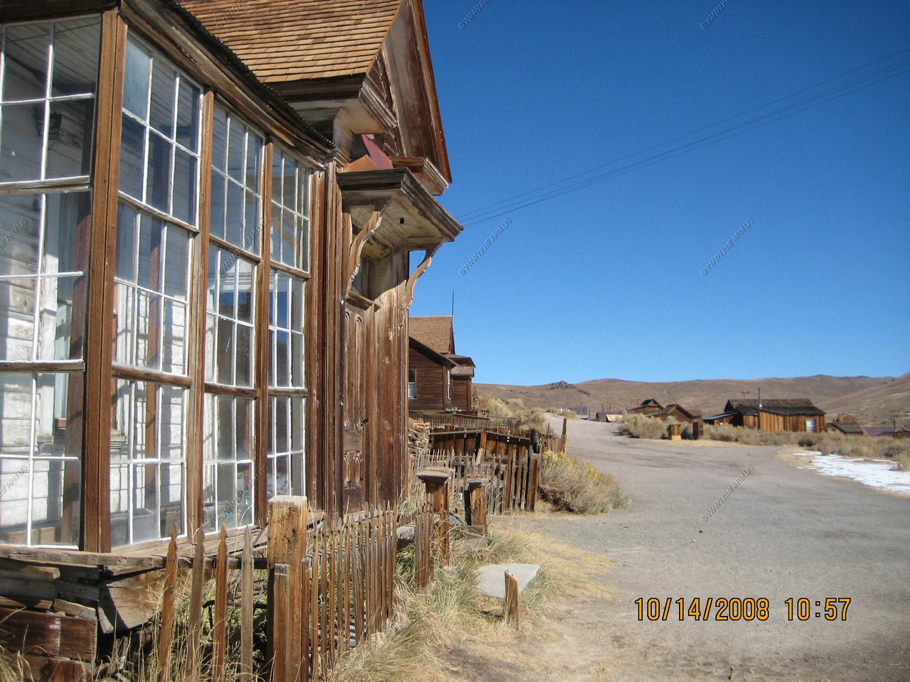
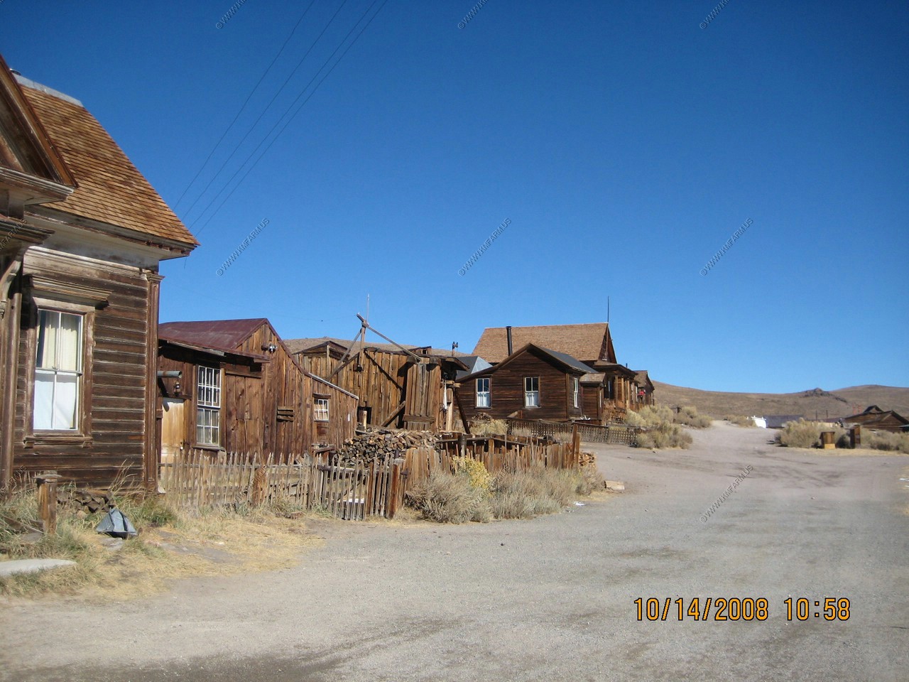
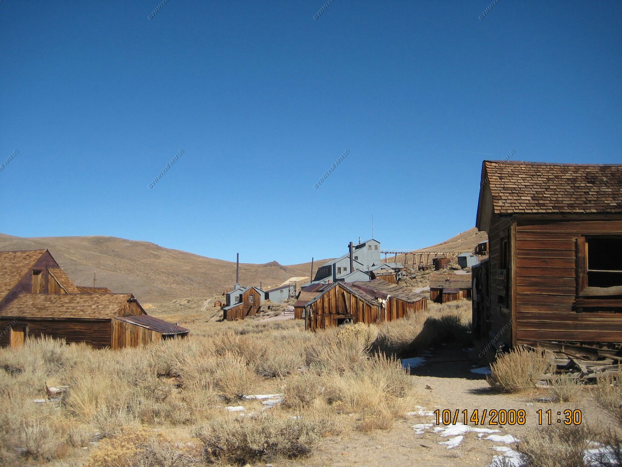
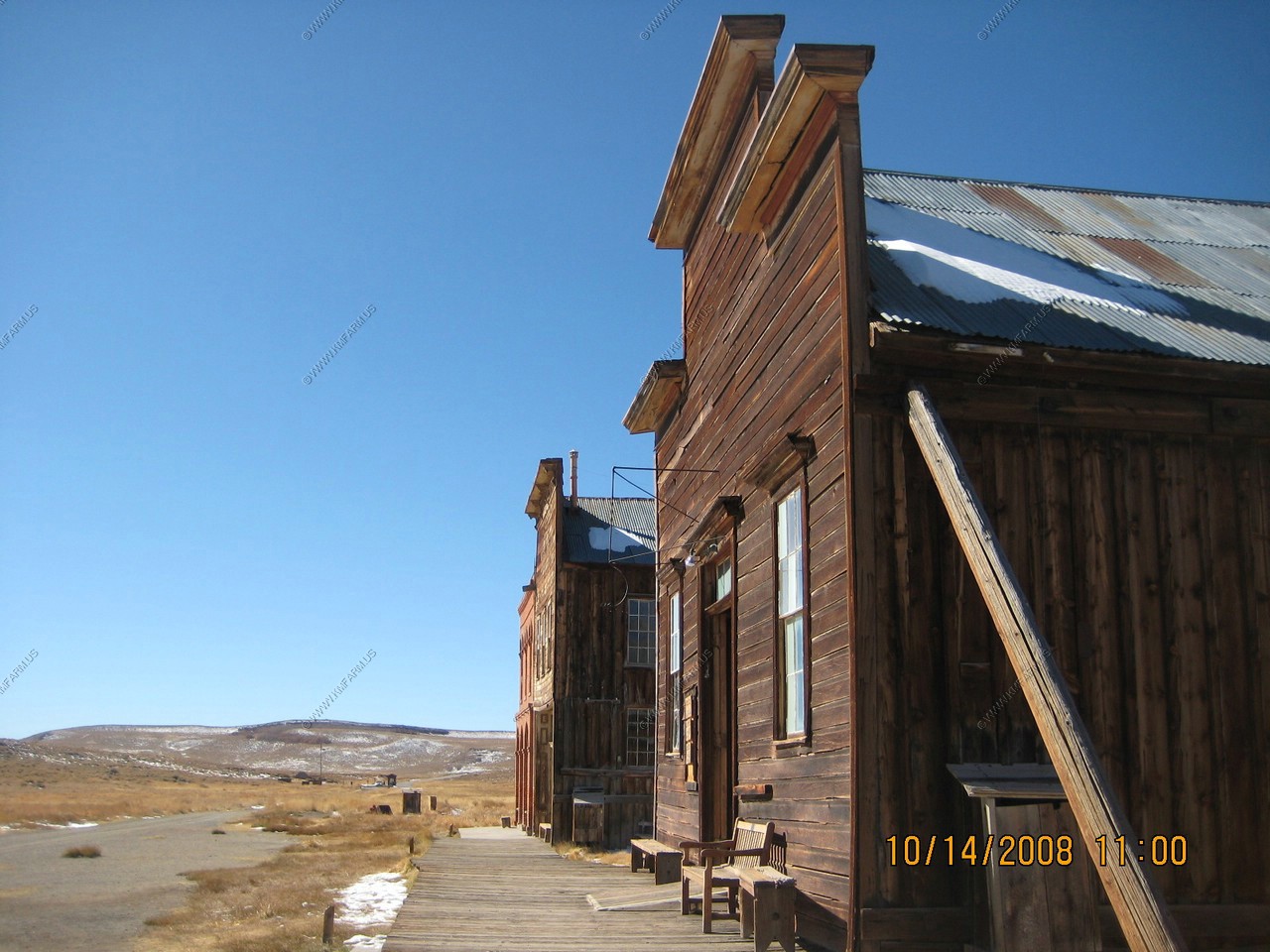
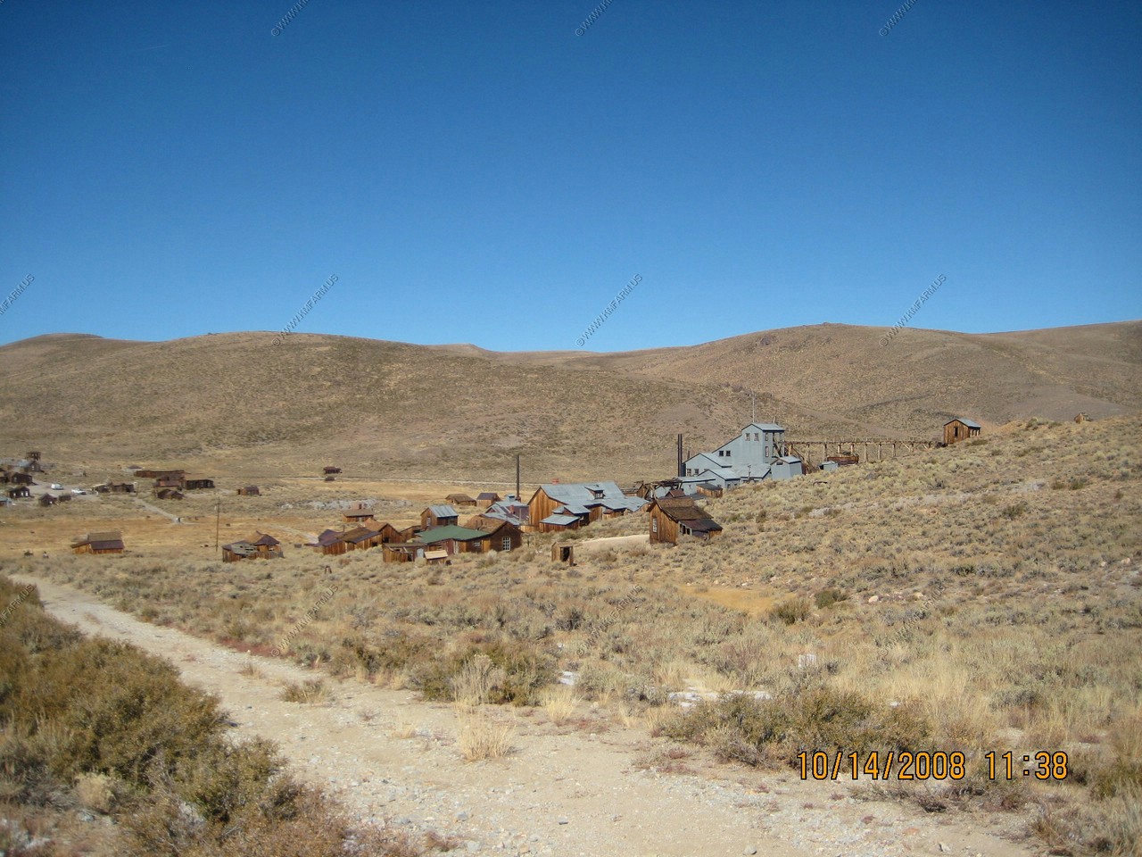
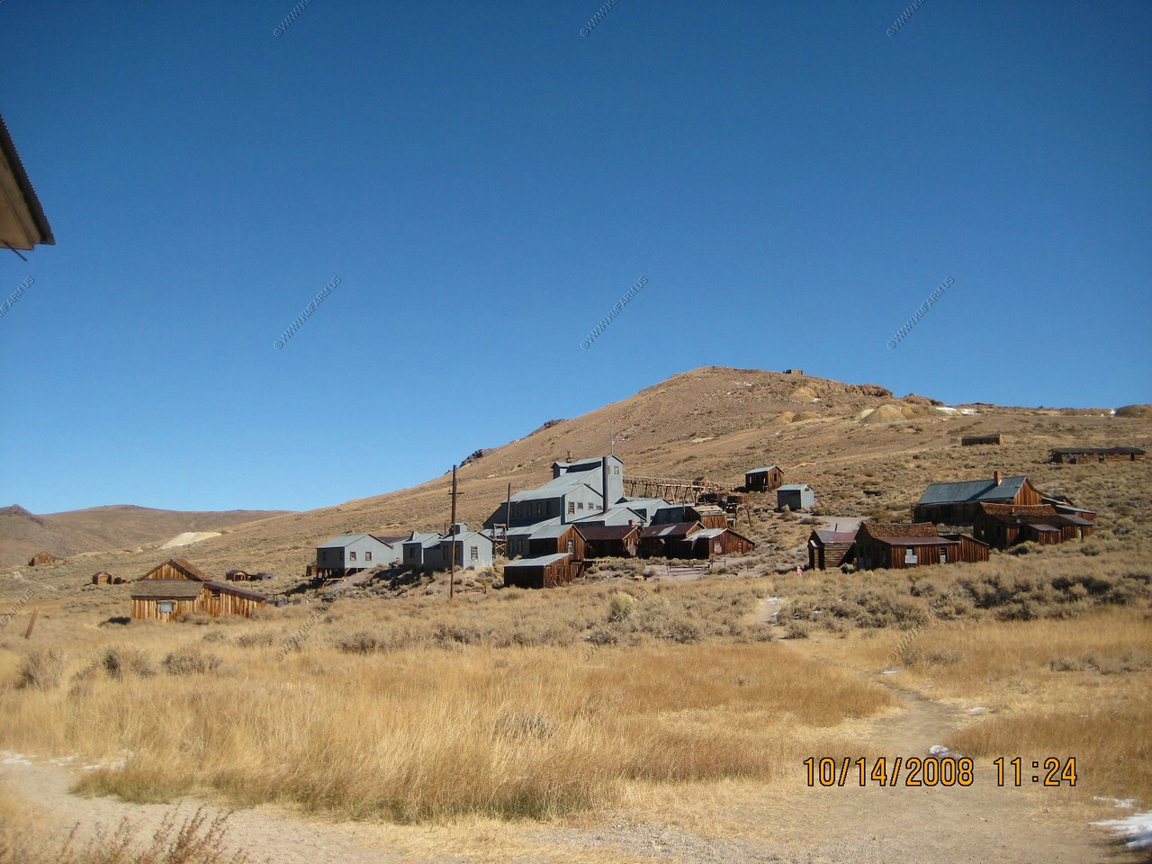
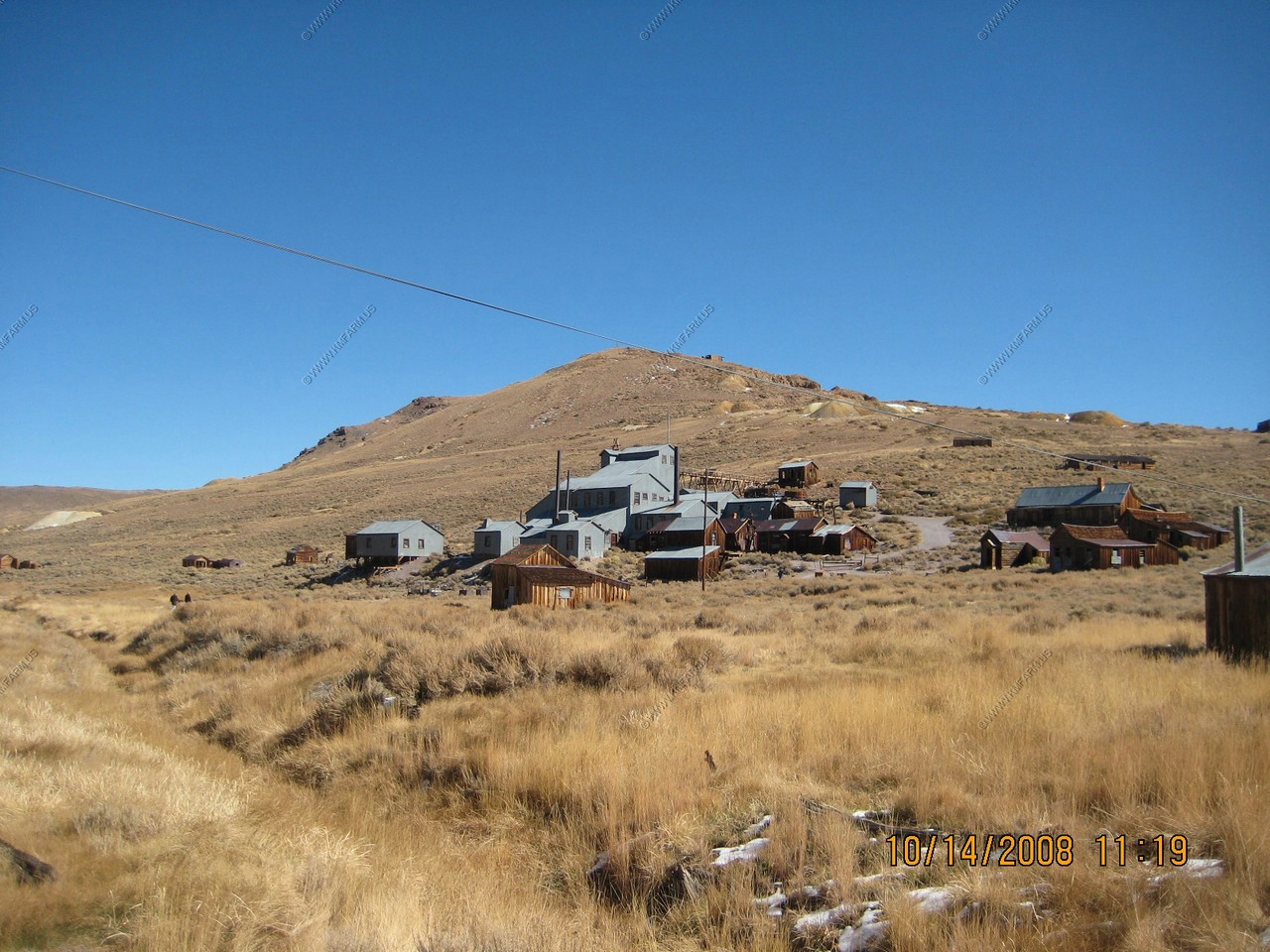
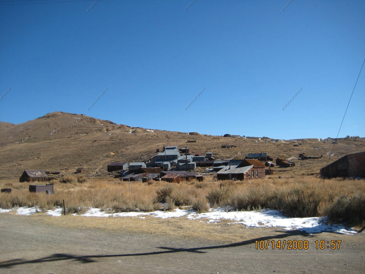
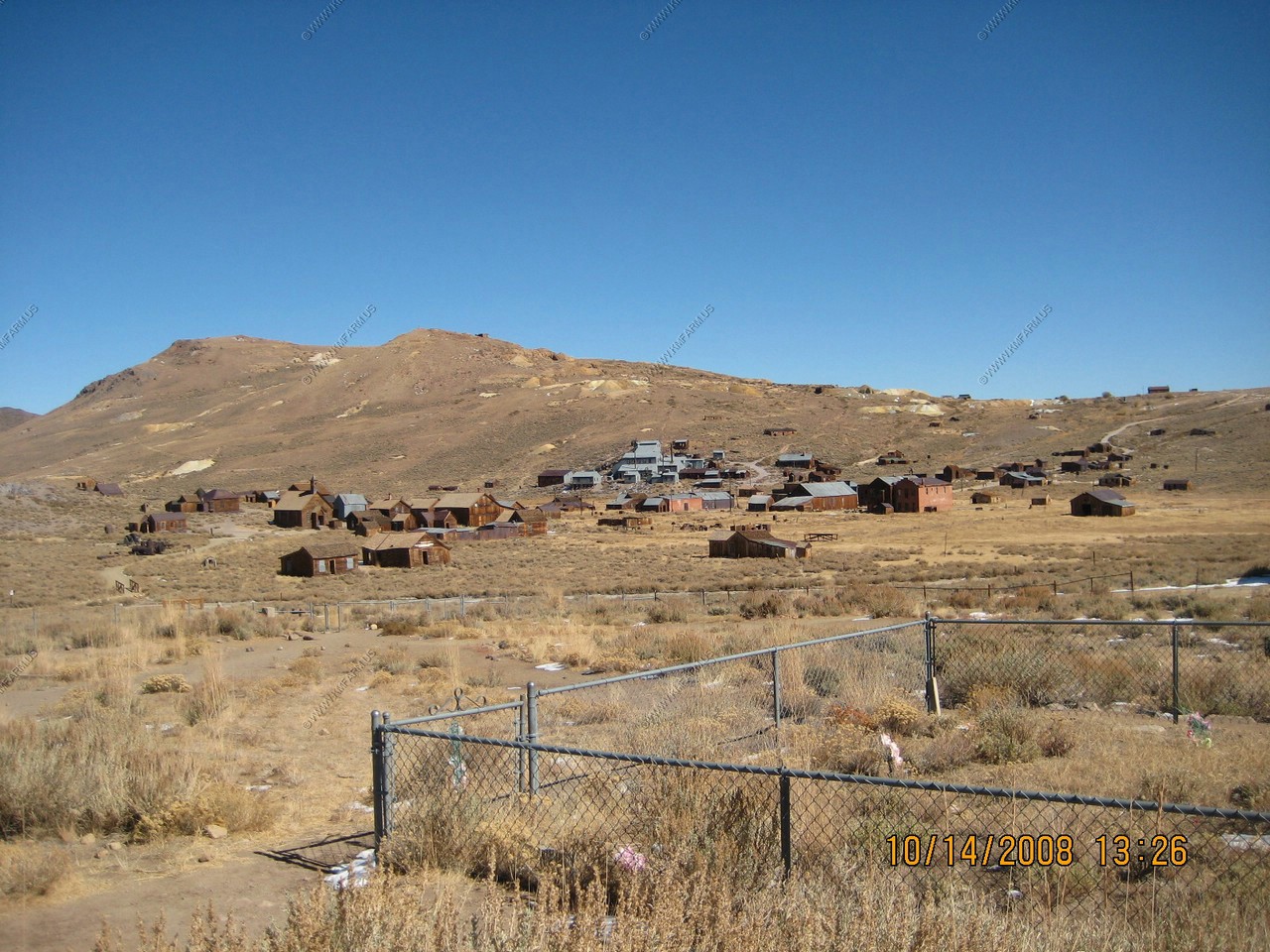
Bodie is an original ghost town from the late 1800's. It's located in the eastern slopes of the Sierras, close to the Nevada border. Bodie stands today in a state of "arrested decay". Over the years, it has seen numerous booms...and busts. There were some huge gold strikes here and, at one point, the town had nearly 10,000 residents. By 1882 though, the big strikes were mostly history and the folks began to go elsewhere.
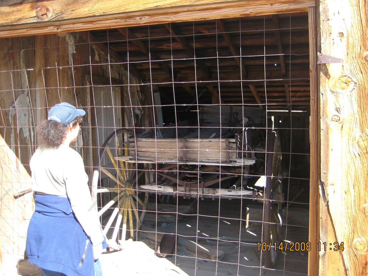
The site is very interesting and appears like it did the day people left Bodie, with clothes hung on coat racks etc. We even went on a special tour of the mill where they refined the gold.
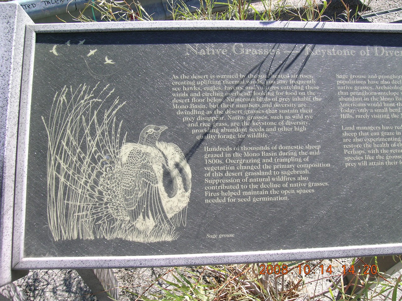
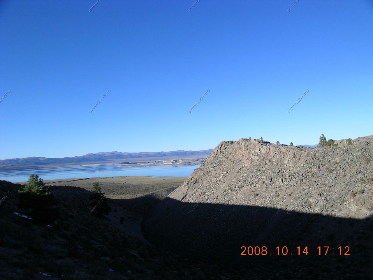
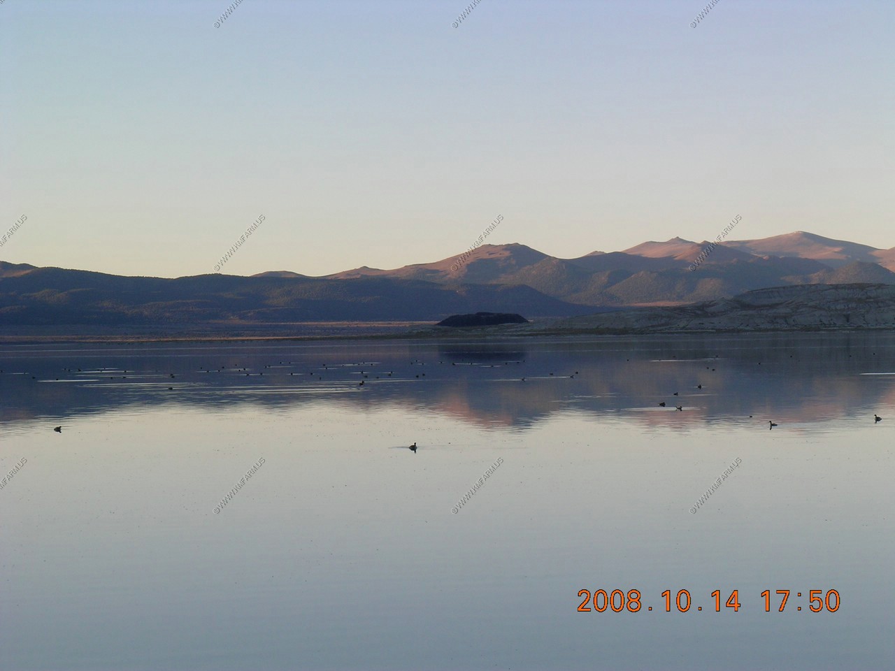
We walked to Black Point at Mono Lake, whcih had many eared grebes, ruddy ducks, phalaropes and avocet.
We walked into Panum Crater along Mono Lake. Panum Crater is 500 years old, and it exhibits all of the characteristics of the textbook rhyolitic, lava dome. This spectacular young volcano looks ready to erupt at any moment.
We got breakfast (bagels) to go at Nicely's on 10/14 and 10/15 We ate dinner at Nicely's. Good but VERY busy and filled with Germans !
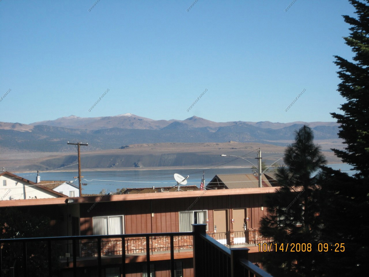
View of Mono Lake from our room at the Lake View Lodge
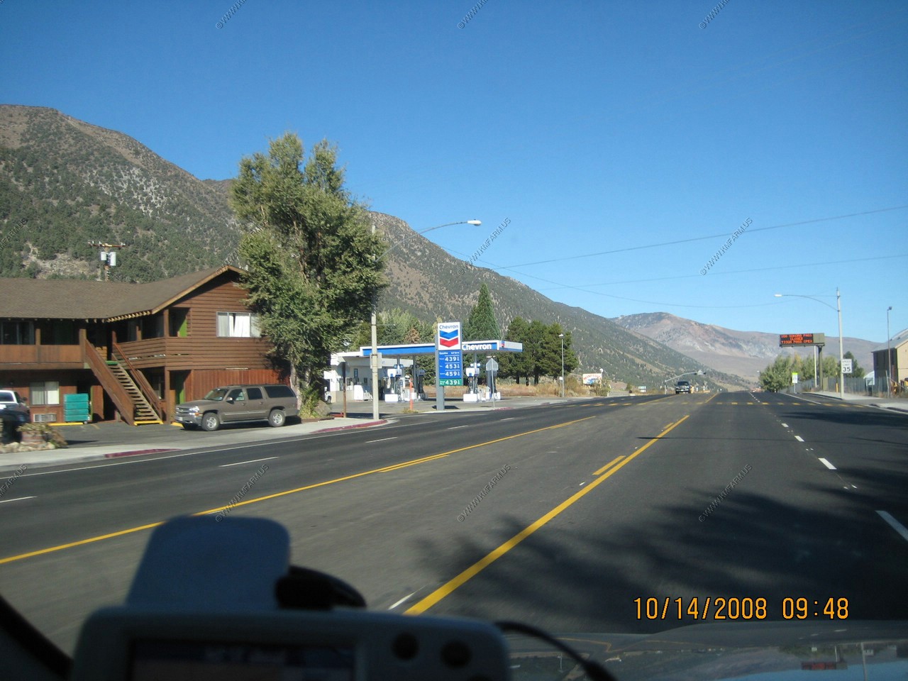
Downtown Lee Vining and gas priced where it should be !
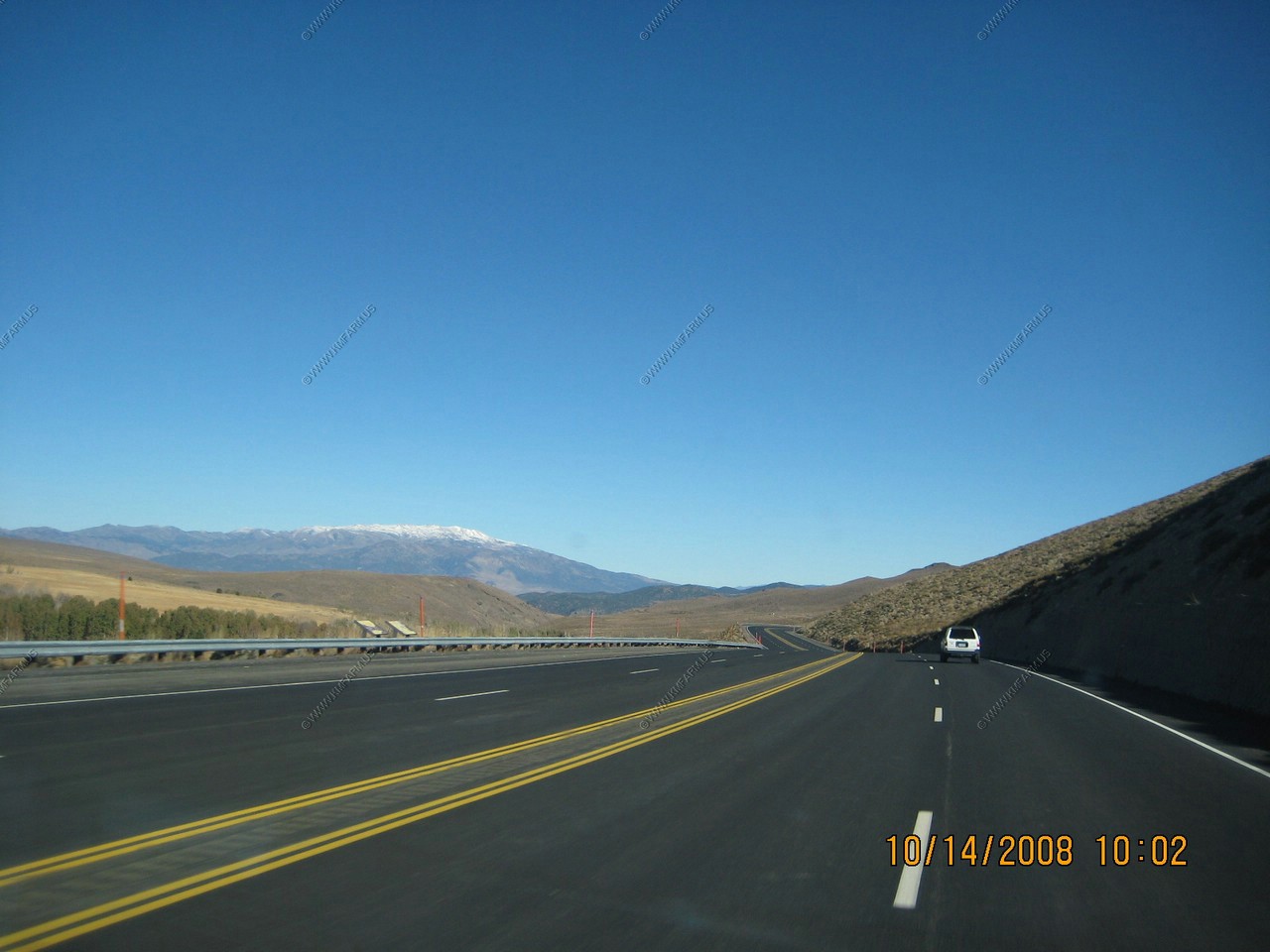
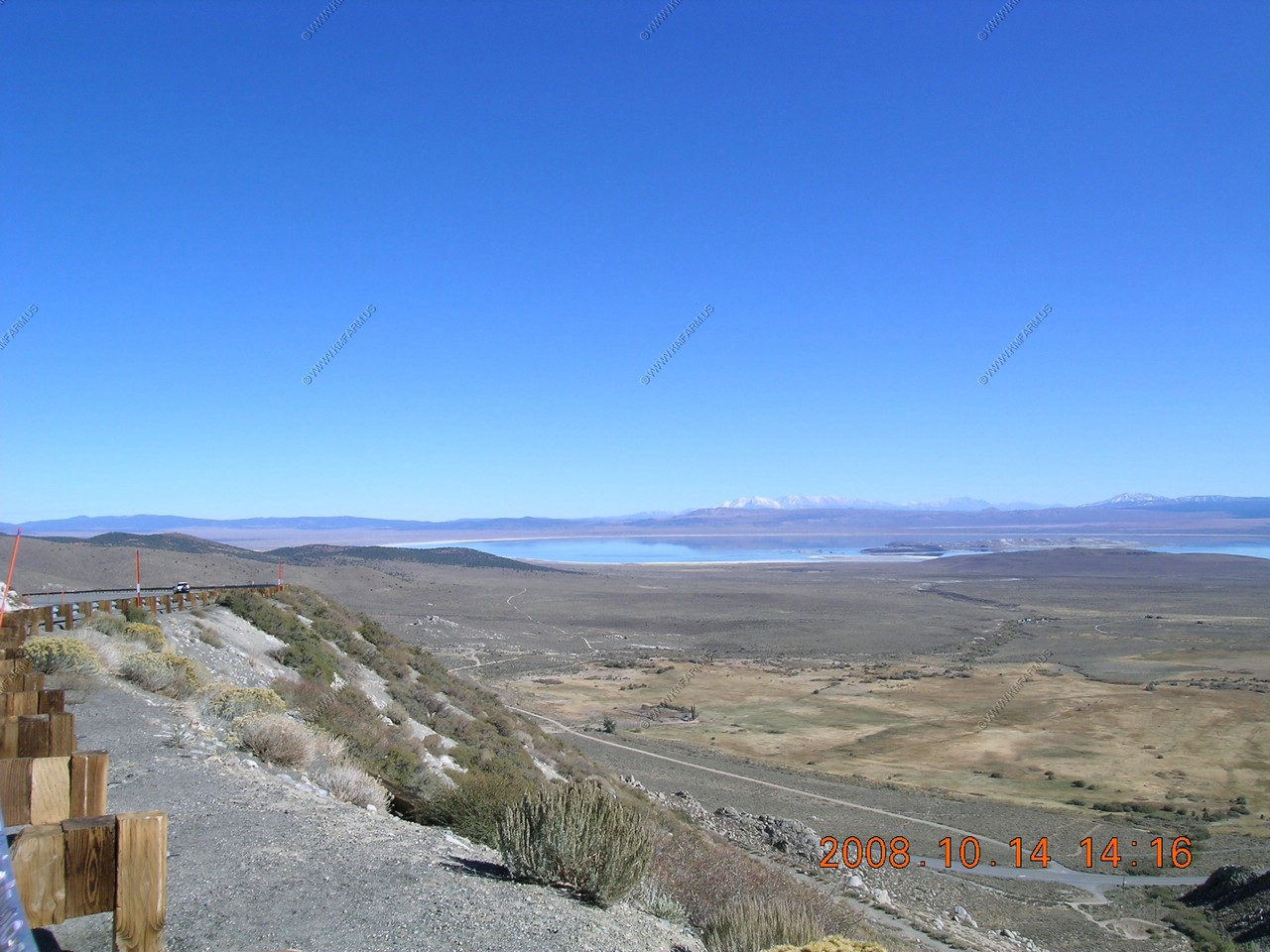
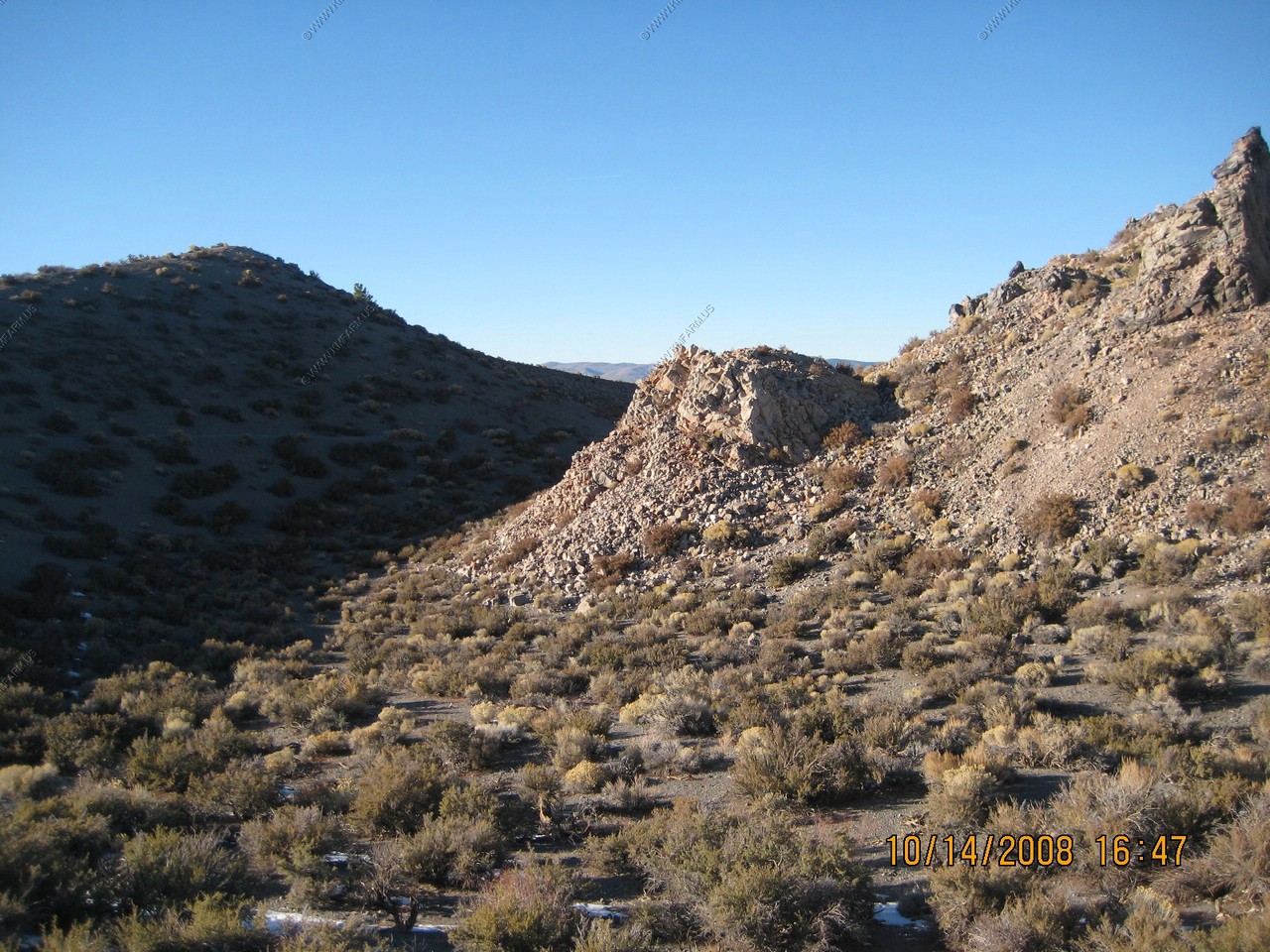
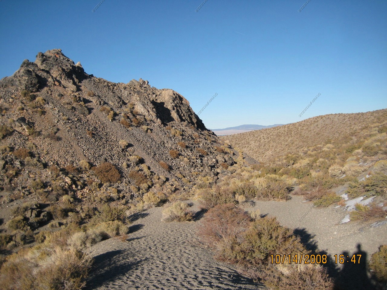
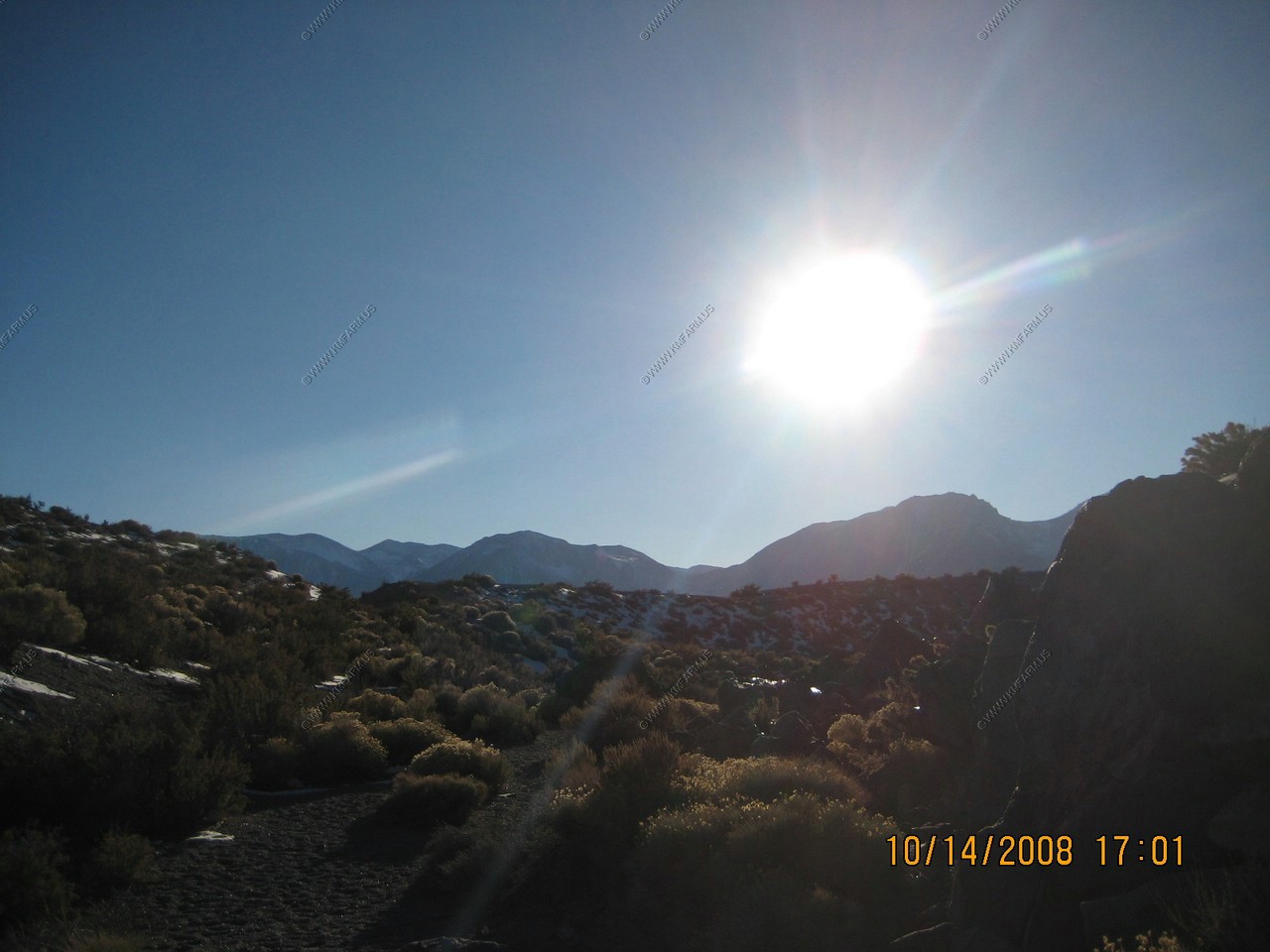
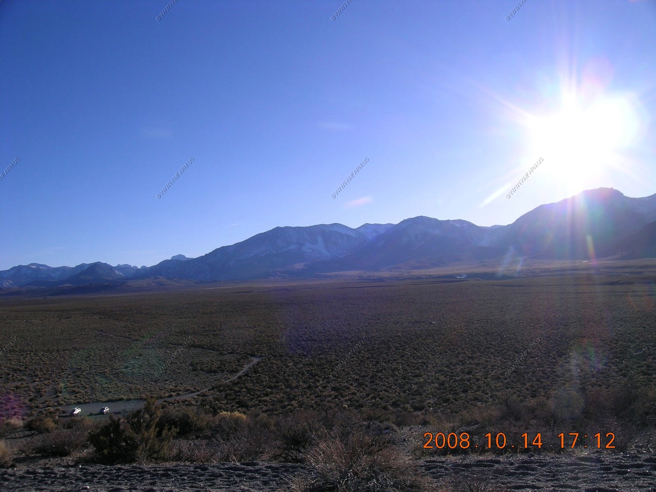
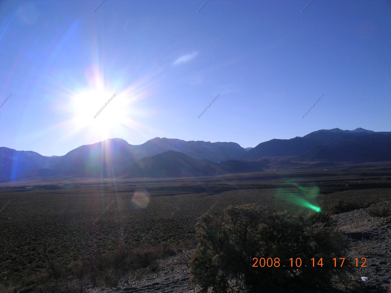
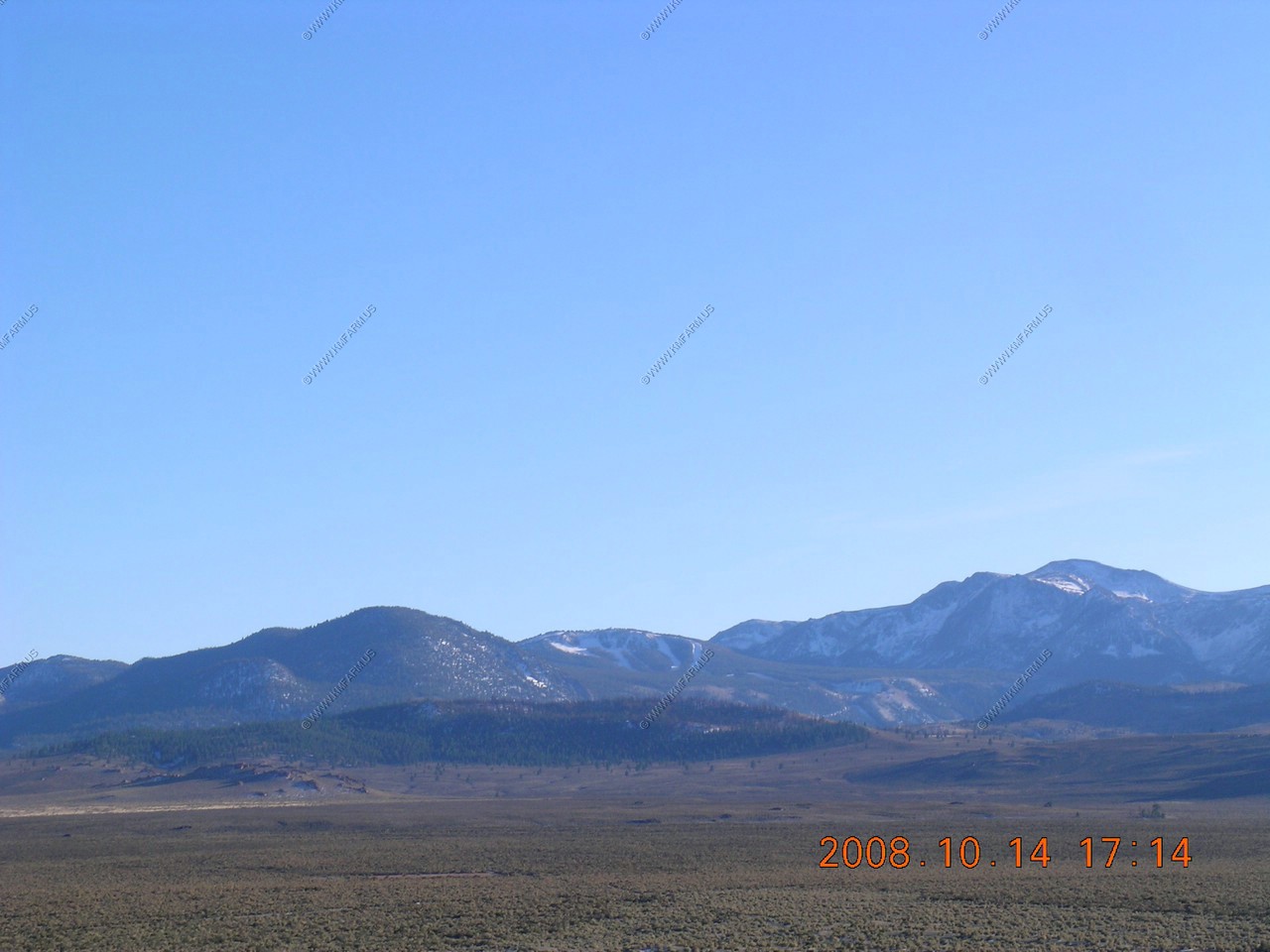
Heading up US-395 crossing the Conway summit. Looking at the Sweetwater Range located north of Bridgeport, Ca. The highest elevation is 11,371
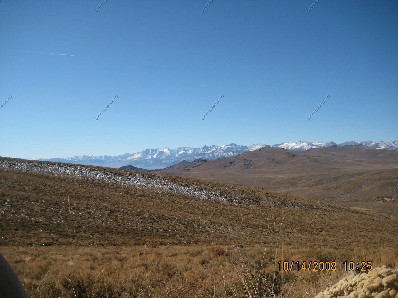
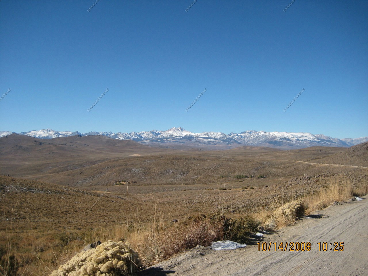
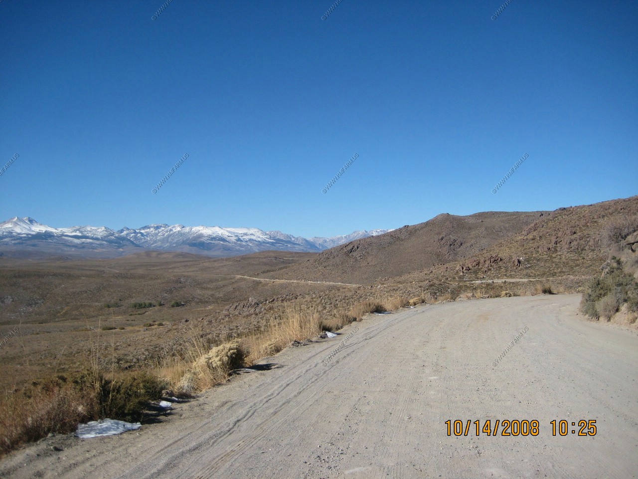
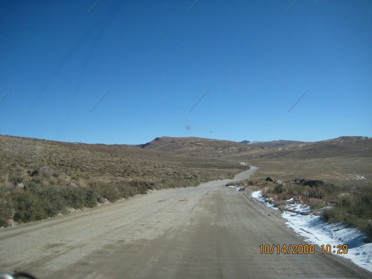
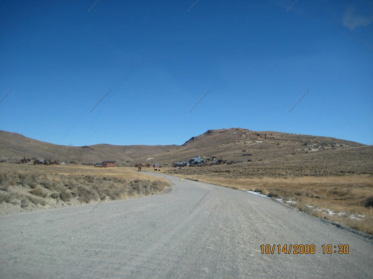
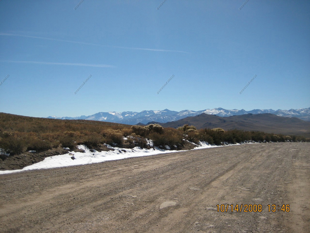
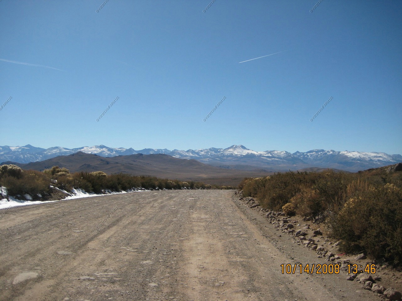
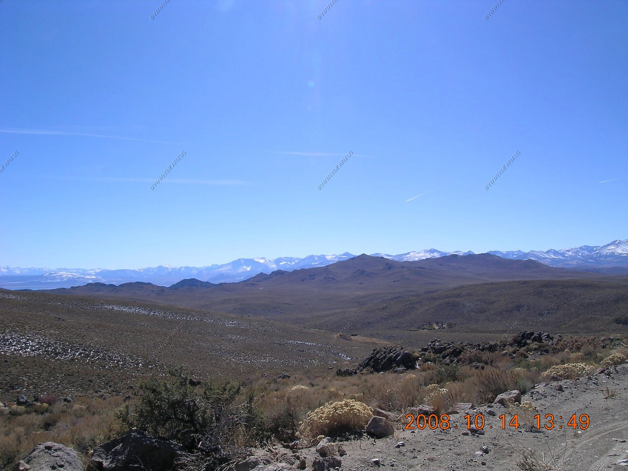
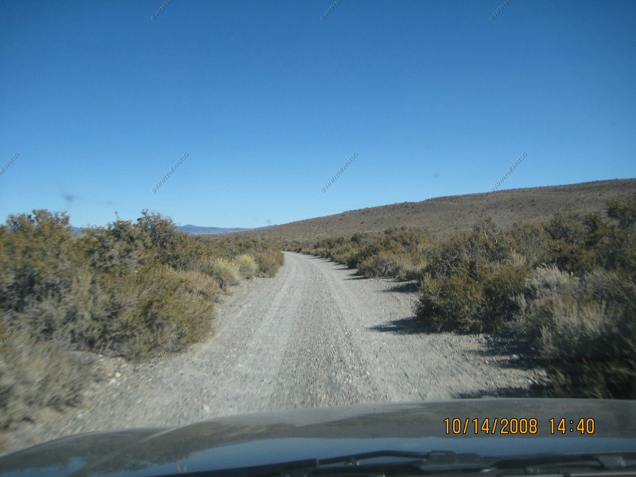
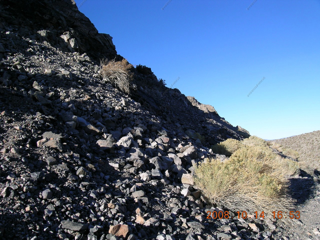
Looking west back towards the Sierra Nevada Range from CA-270 heading towards Bodie. A well maintaned dirt road
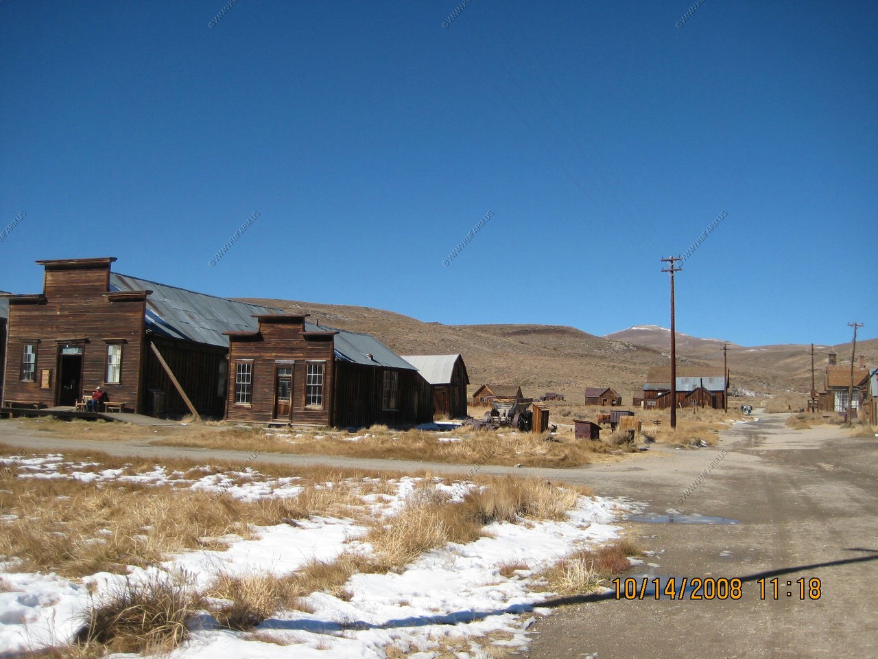
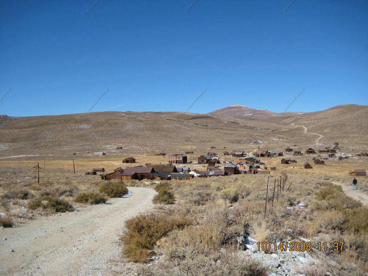
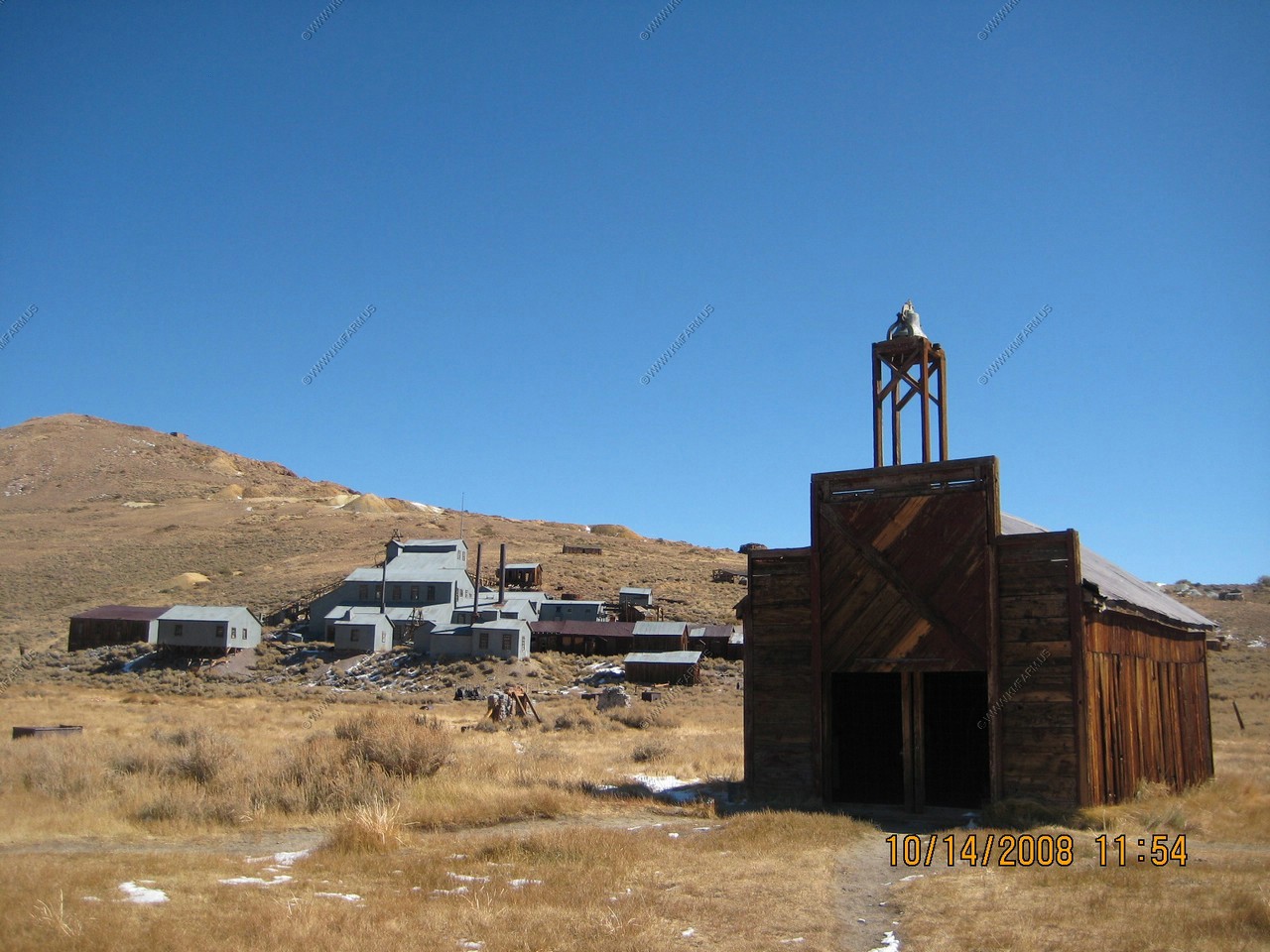
Bodie
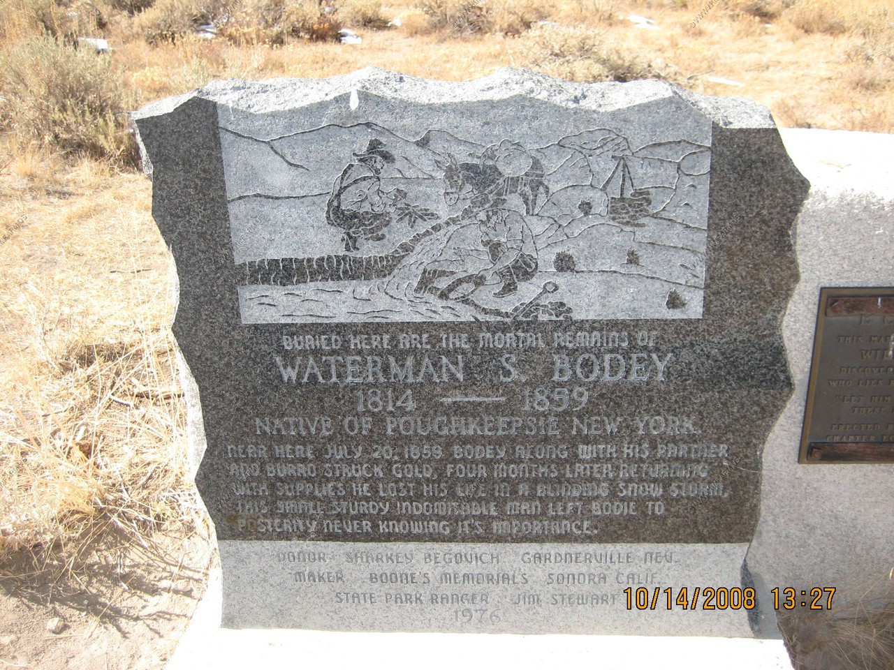
Gold was discovered here in 1859 by W.S. Bodey after whom the town was named. Once the most thriving metropolis of the Mono Country, Bodie's mines produced gold valued at more than 100 million dollars. Tough as nails, "The bad man from Bodie" still carries his guns and Bowie Knife down through the pages of Western History. California registered historical landmark No. 341
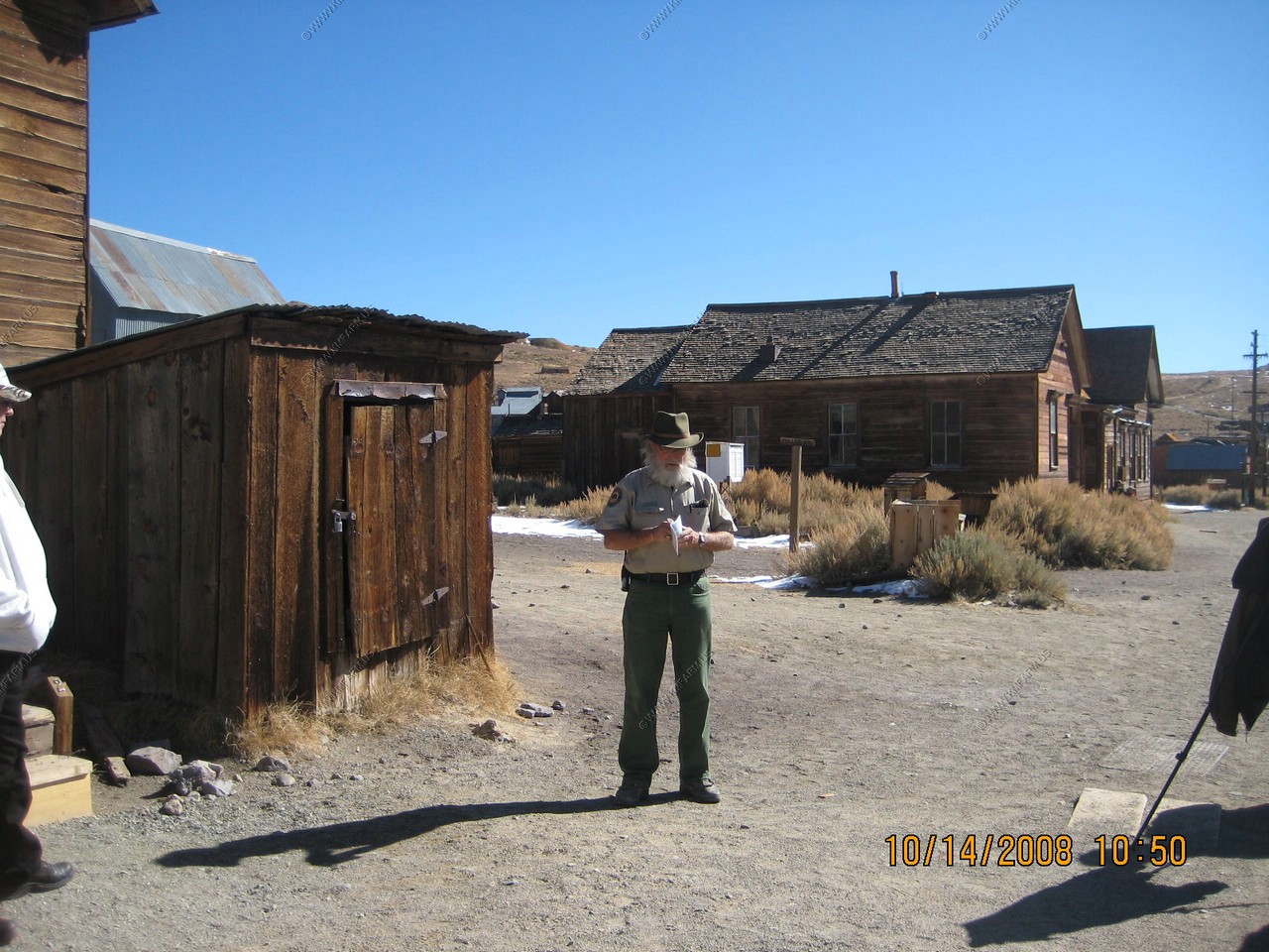
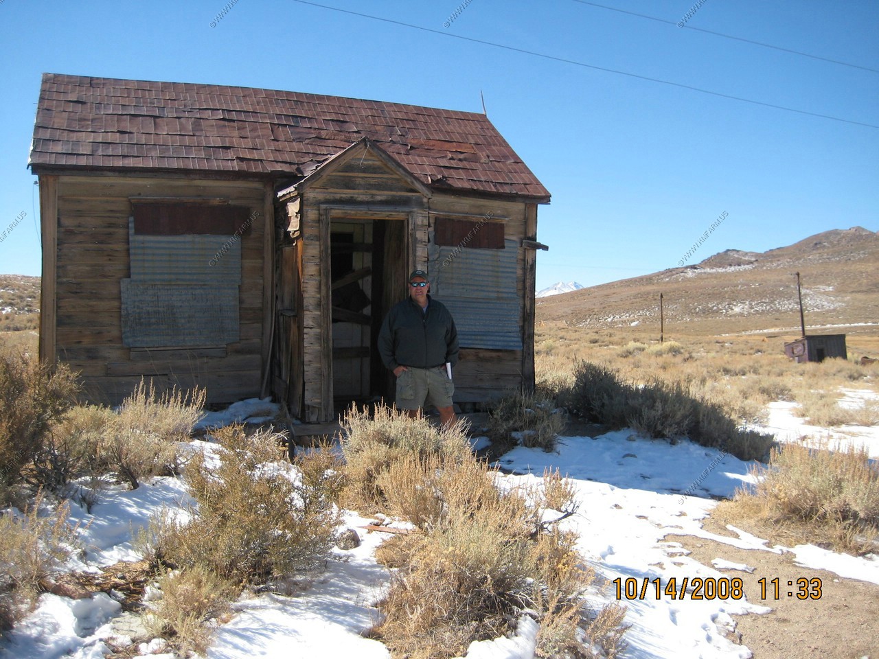
We arrived in Bodie around 10:30 am and it was COLD !! We would later found out that it had gone to ZERO the night before and this morning was a little warmer. Still, with the sun and as long as you kept movi, we were ok.
Bodie was the photographer's dream. So many angles to take with the ultra blue 8,000 foot western sky !
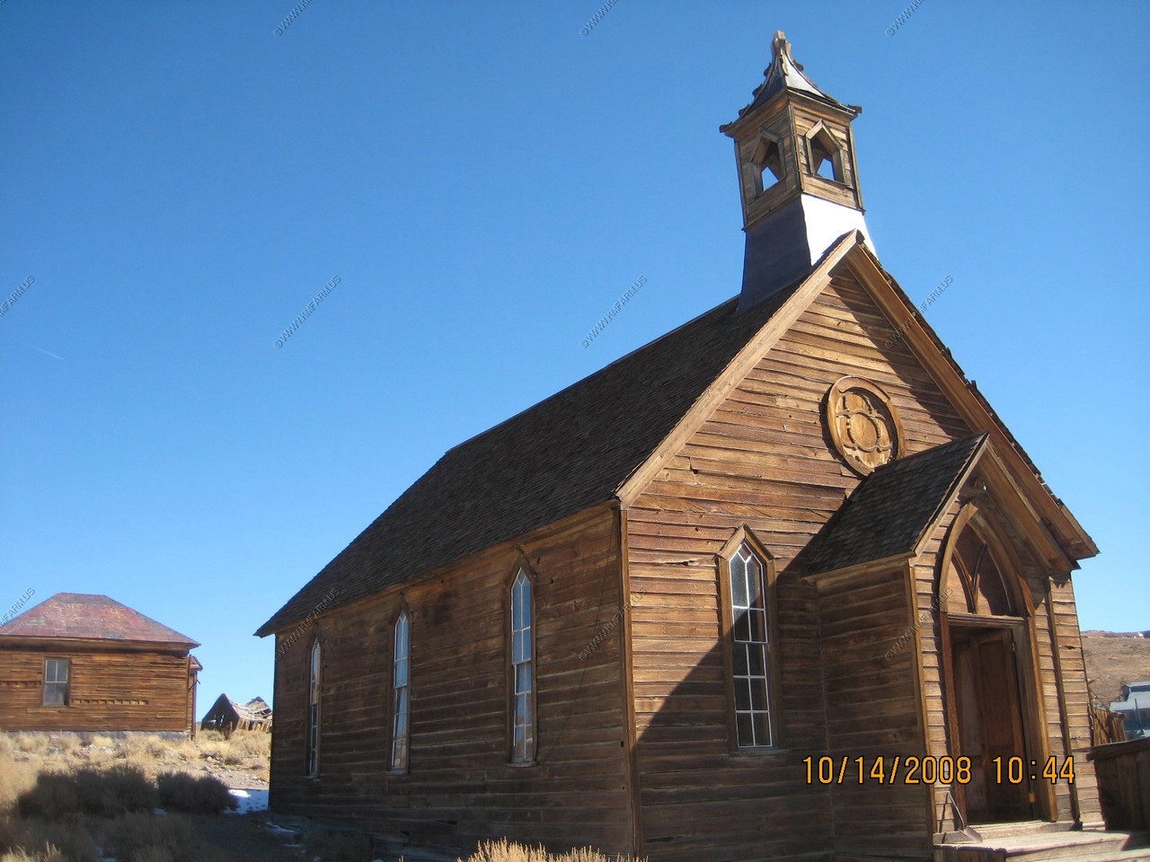
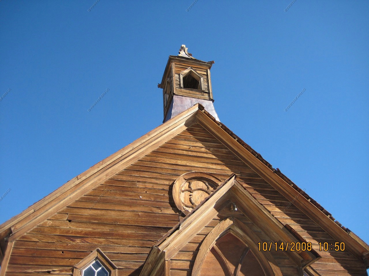
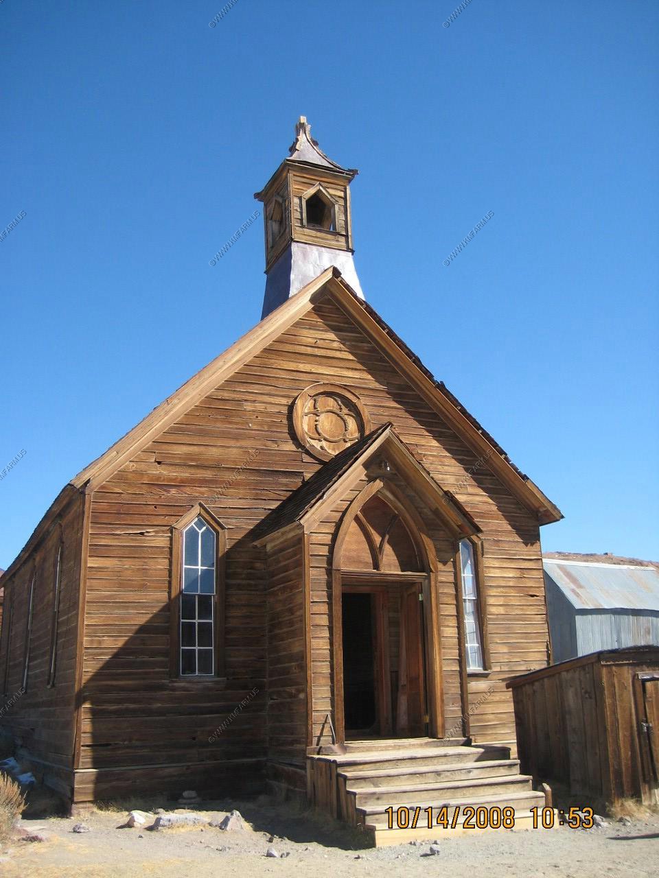
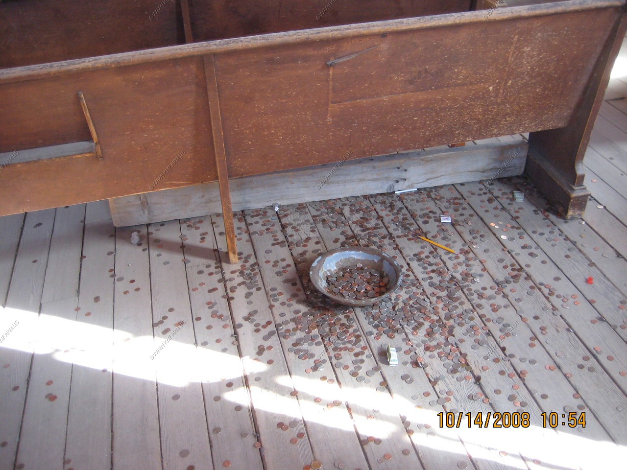
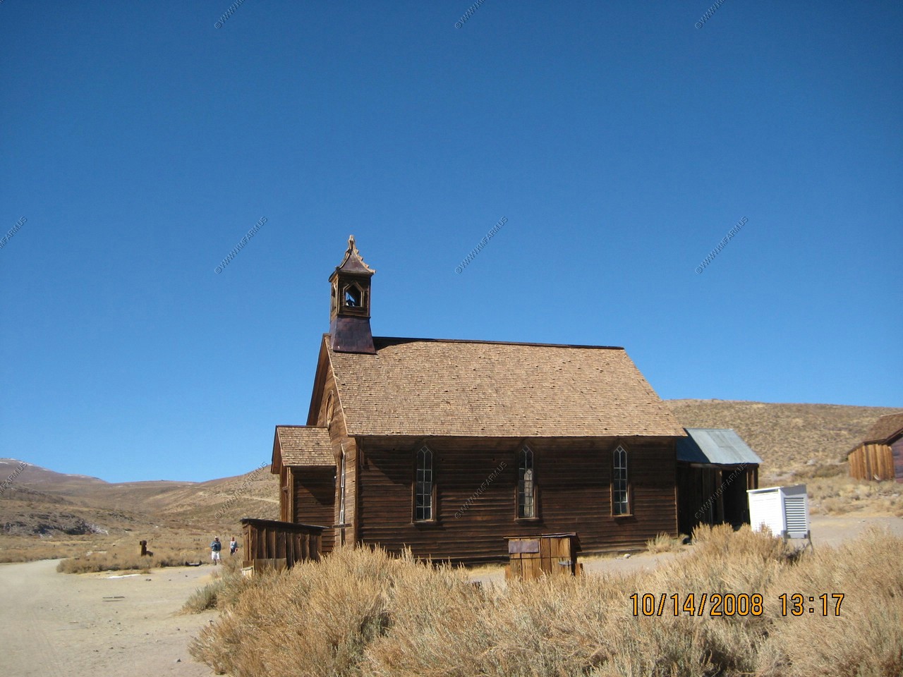
The old Methodist Church
This church was erected in 1882. This is the only church still standing in Bodie and the only Protestant church erected. E. J. Clinton of San Francisco restored the church and held the last service here in 1932. Since then, the interior has been badly vandalized and the 10 Commandments painted on the oilcloth which once hung behind the pulpit "thou shalt not steal" has been stolen. The Catholic Church on Wood Street, also built in 1882, burned down in 1928.
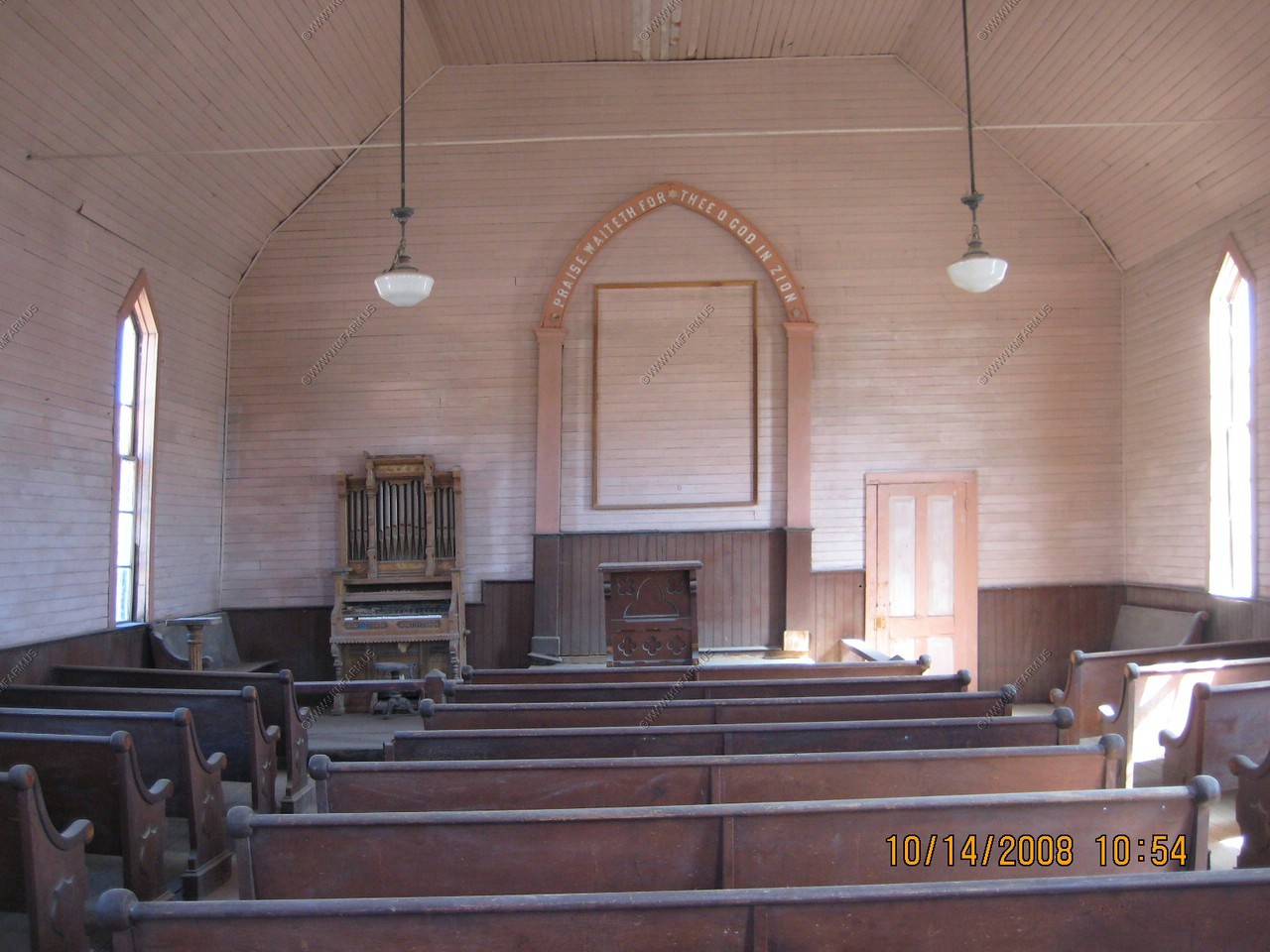

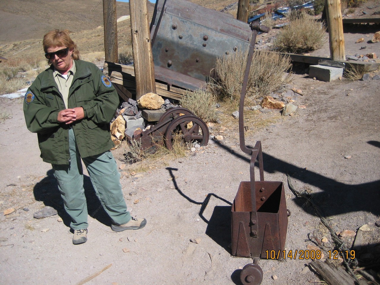
We caught the end of a ranger talk about the church and the town.
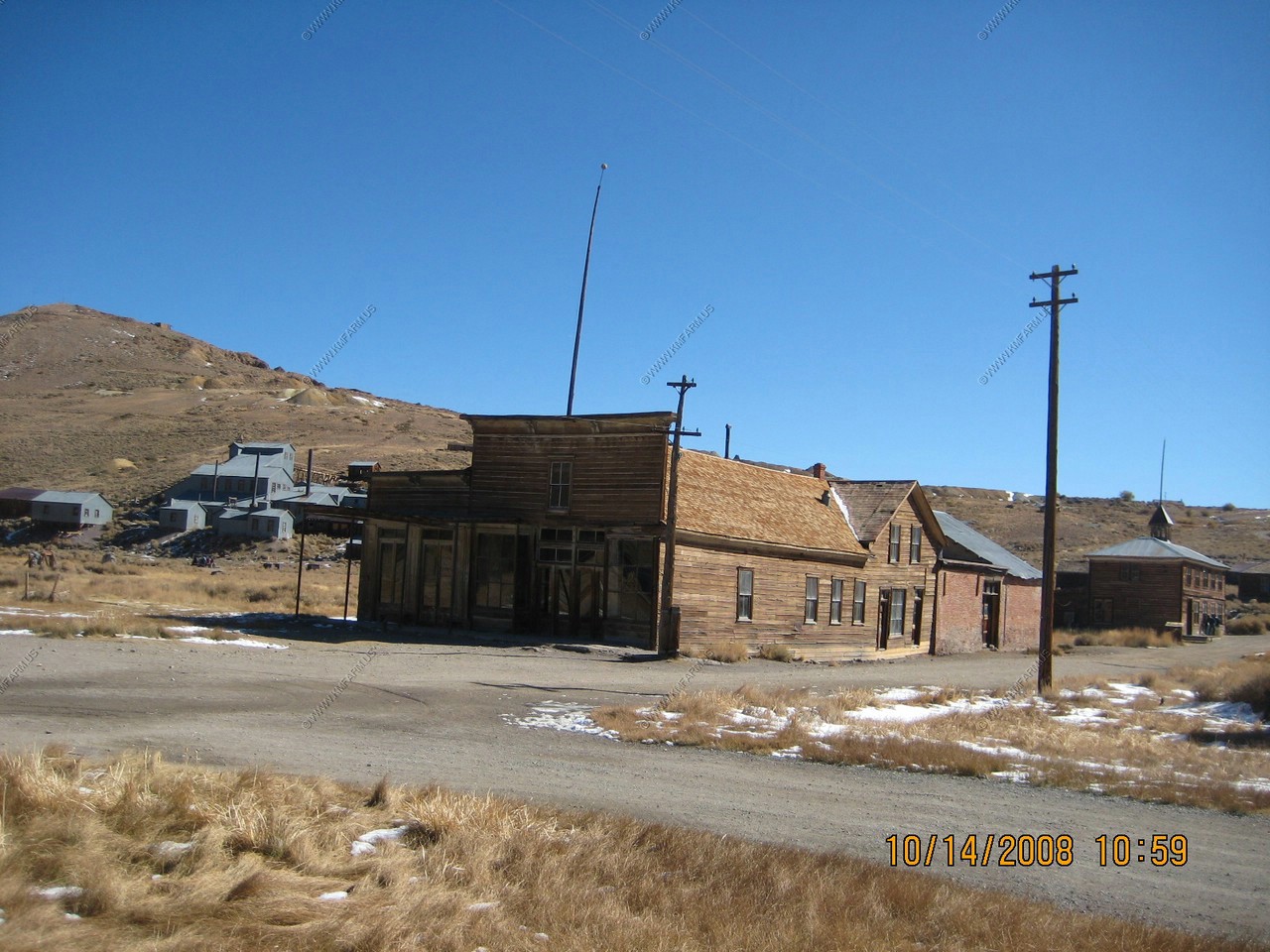
Looking East on Green Street
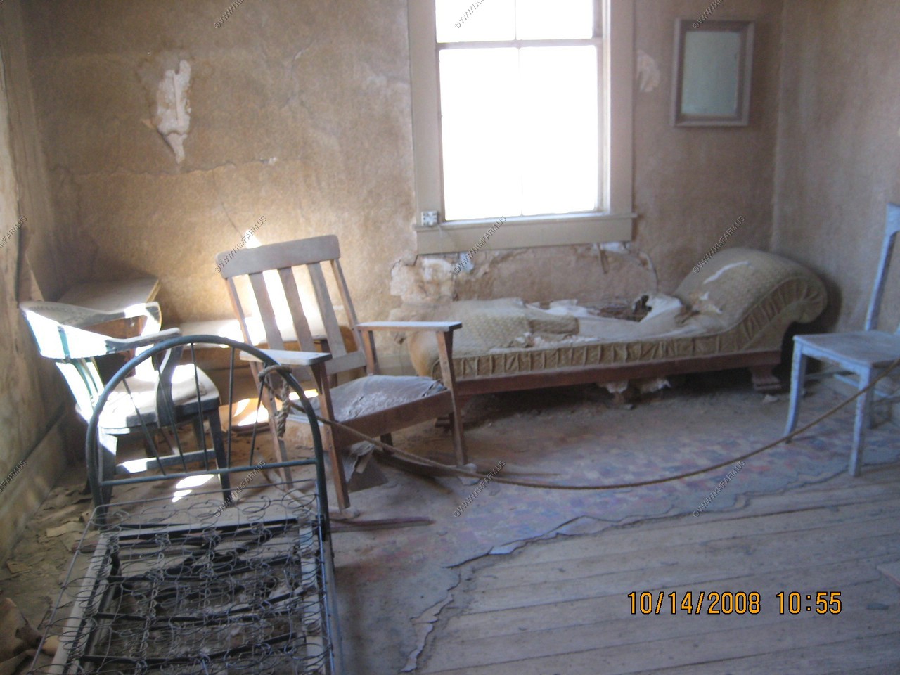
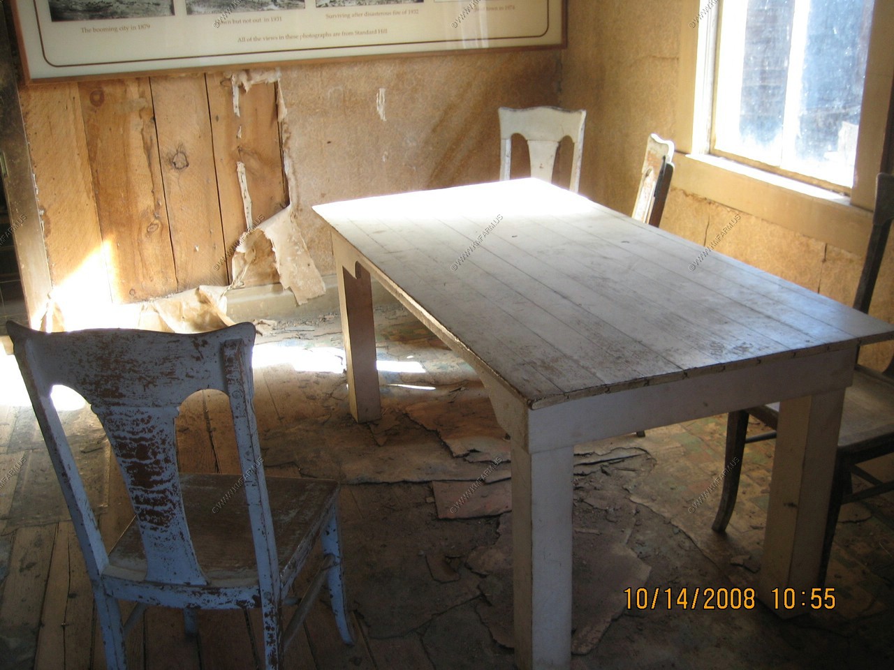
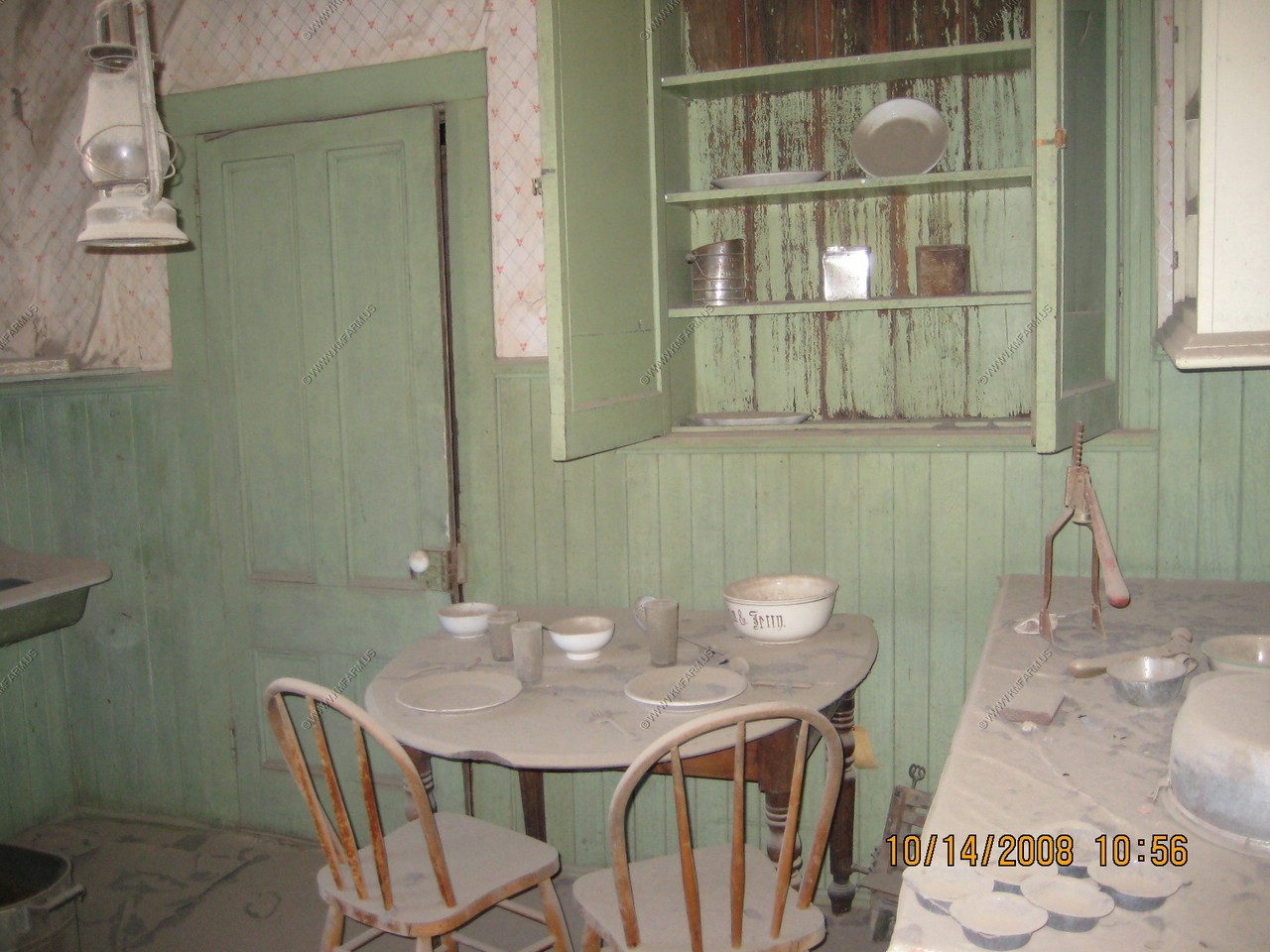
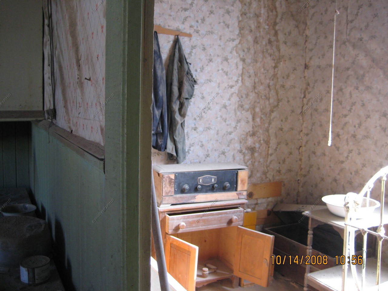
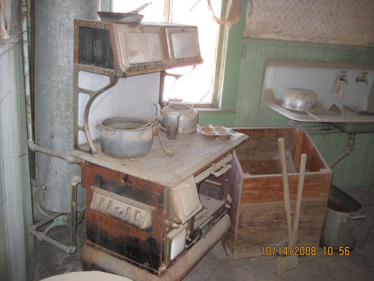
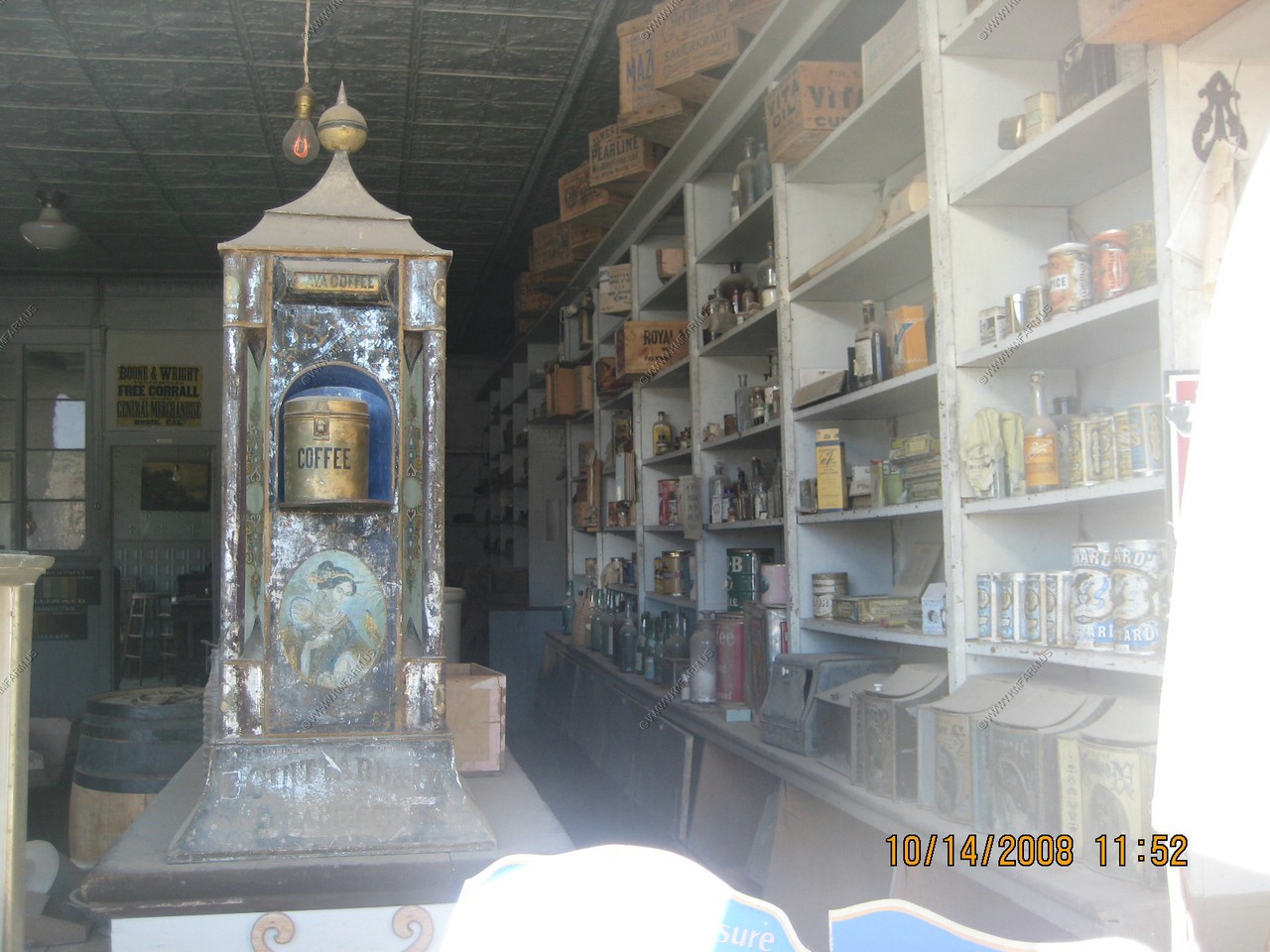
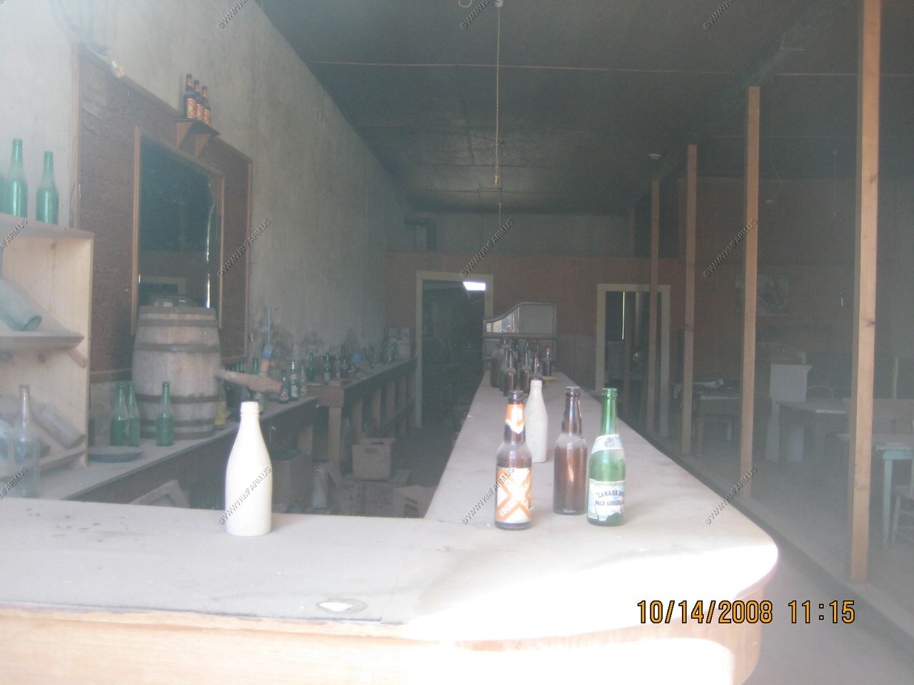
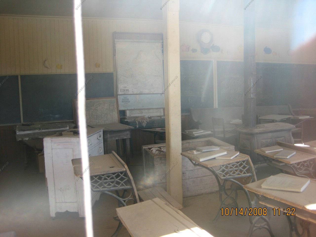
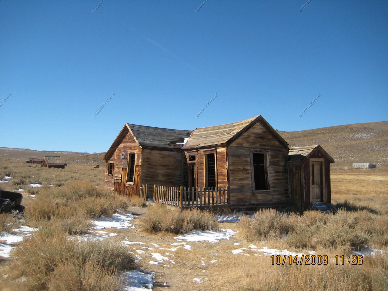
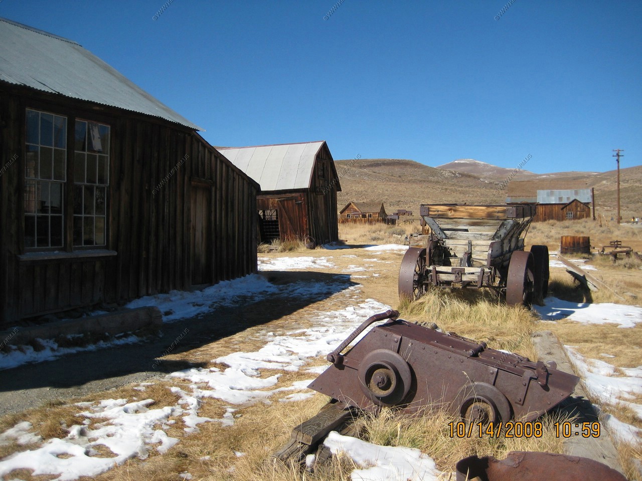
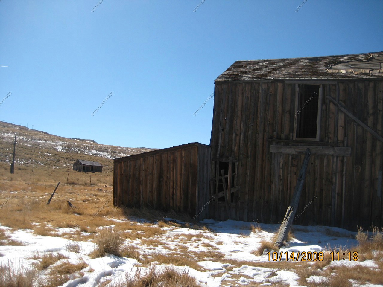
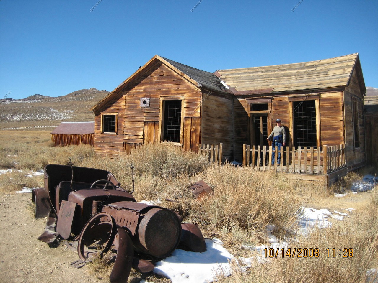
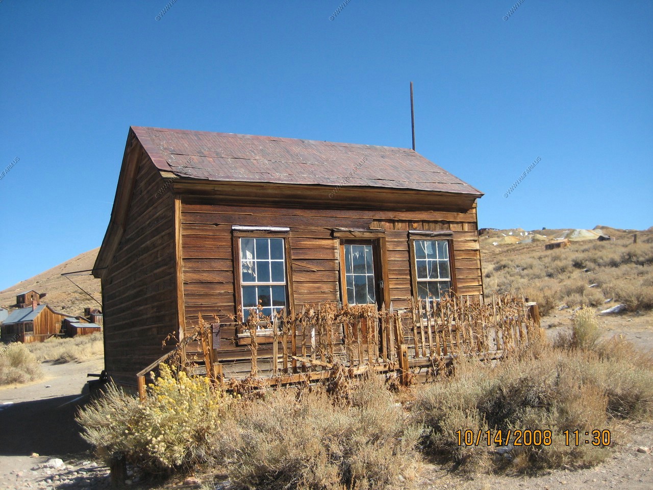
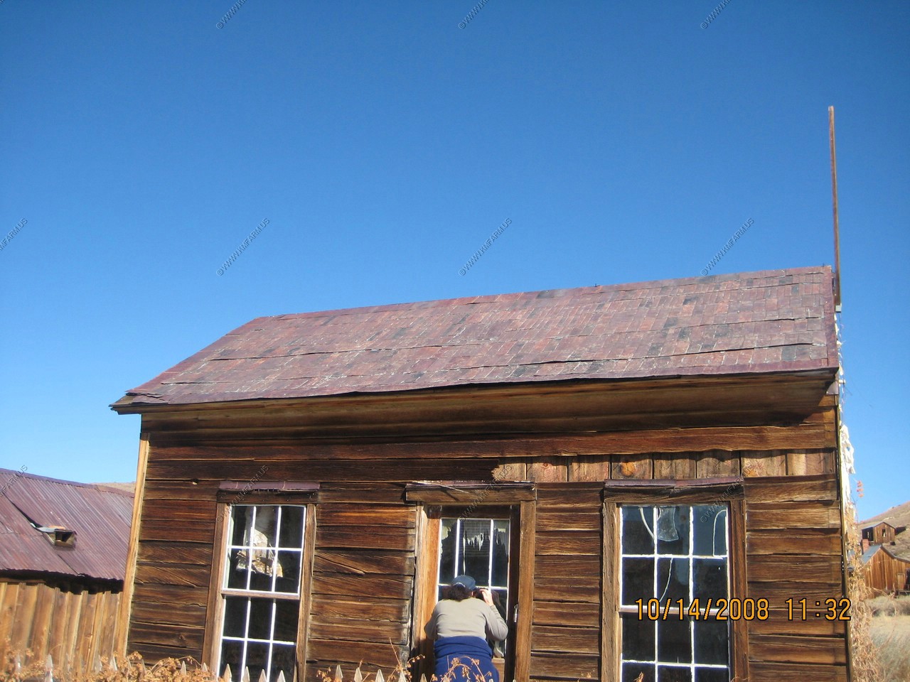
Many of the buildings contain the original items when the people quickly left.
Looking North on Main Street
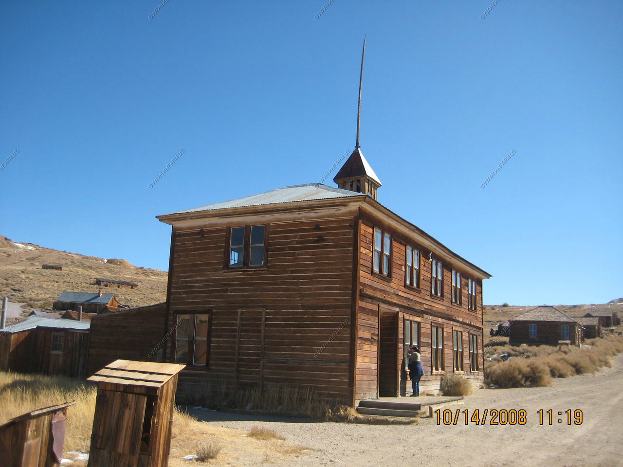
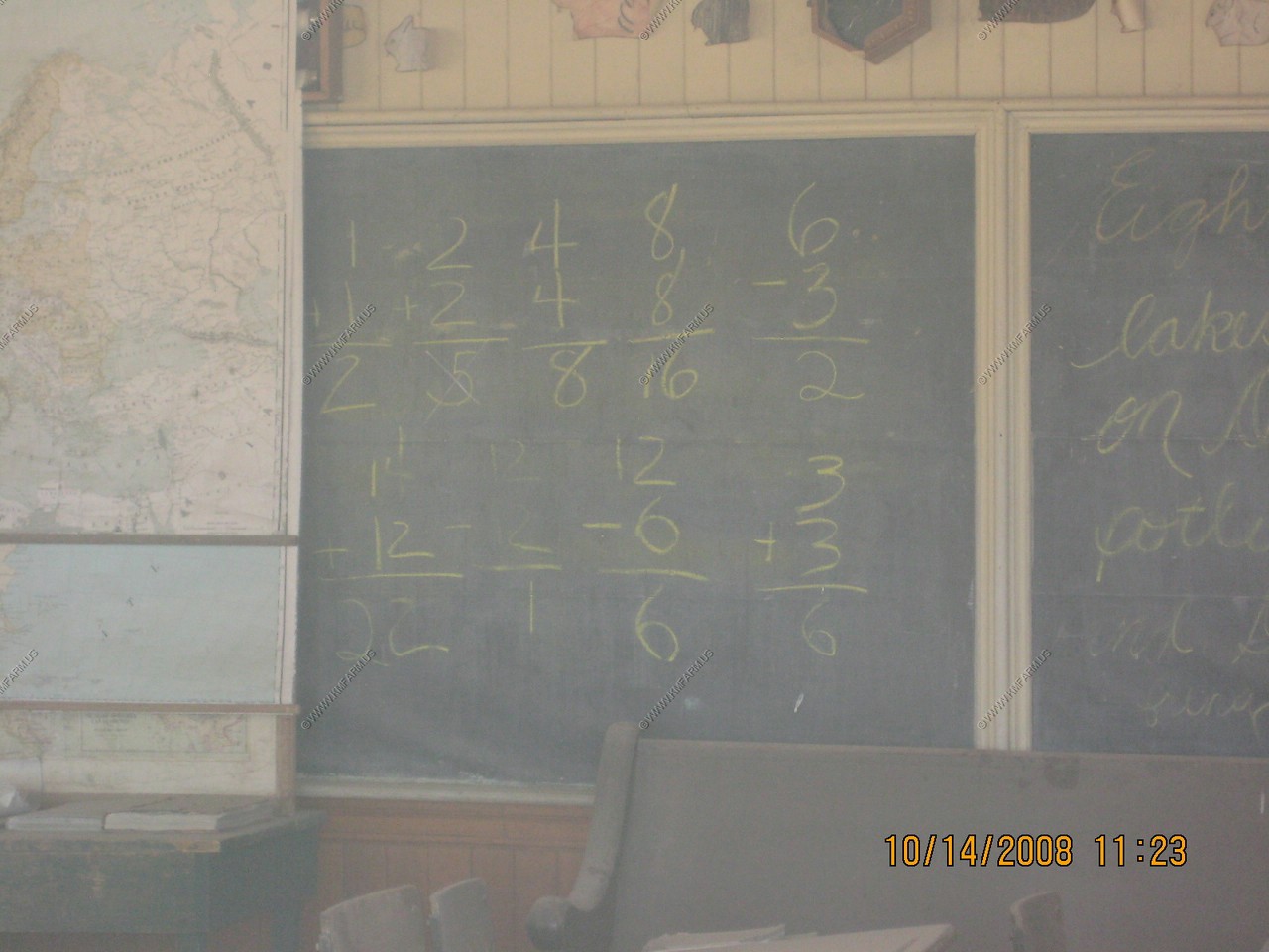
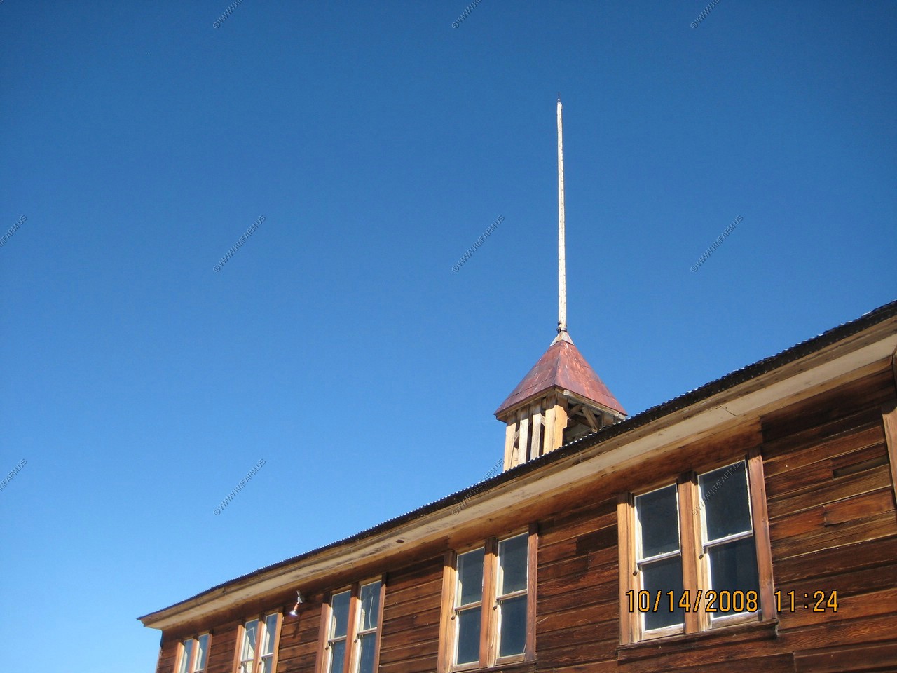
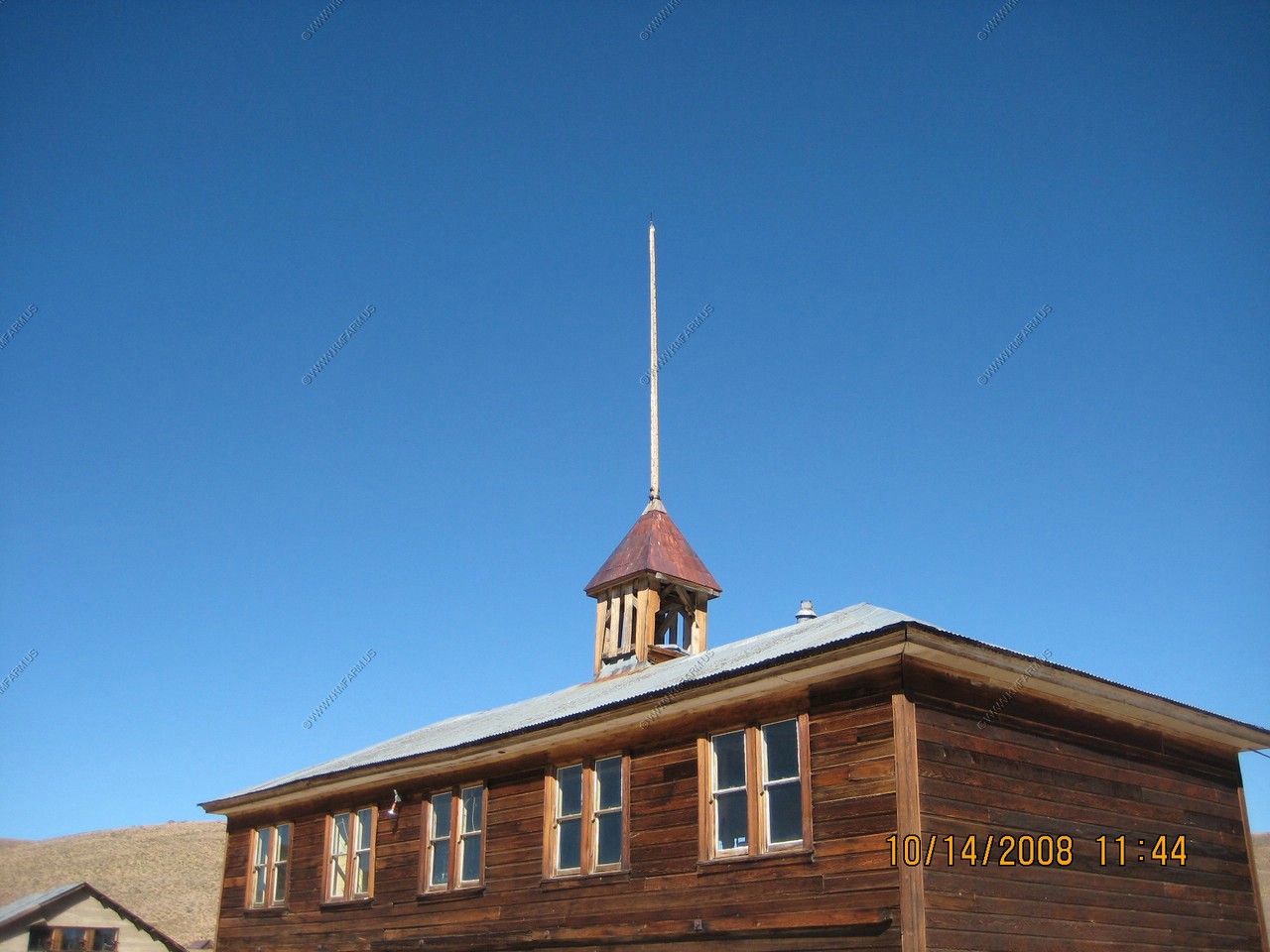
The Old School on Green Street
The schoolhouse built in 1879, was originally the Bon Ton Lodging House. The first school, located two blocks up the street, was burned down by an early-day juvenile delinquent. Belle Moore, wife of Ben Butler, was Bodie's first school teacher.

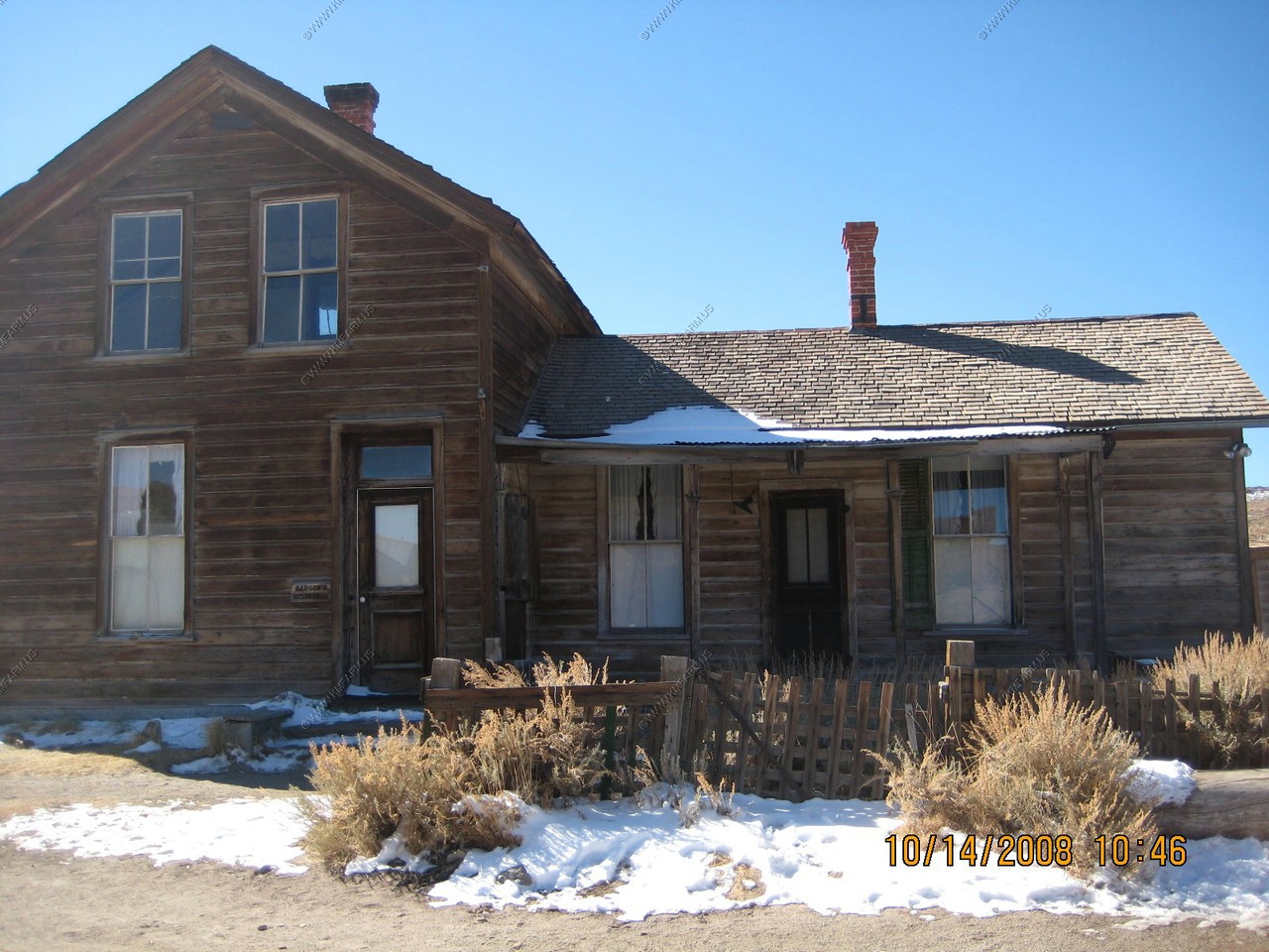
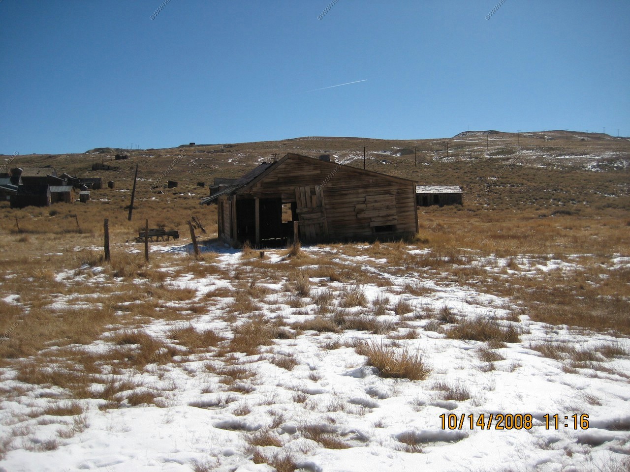
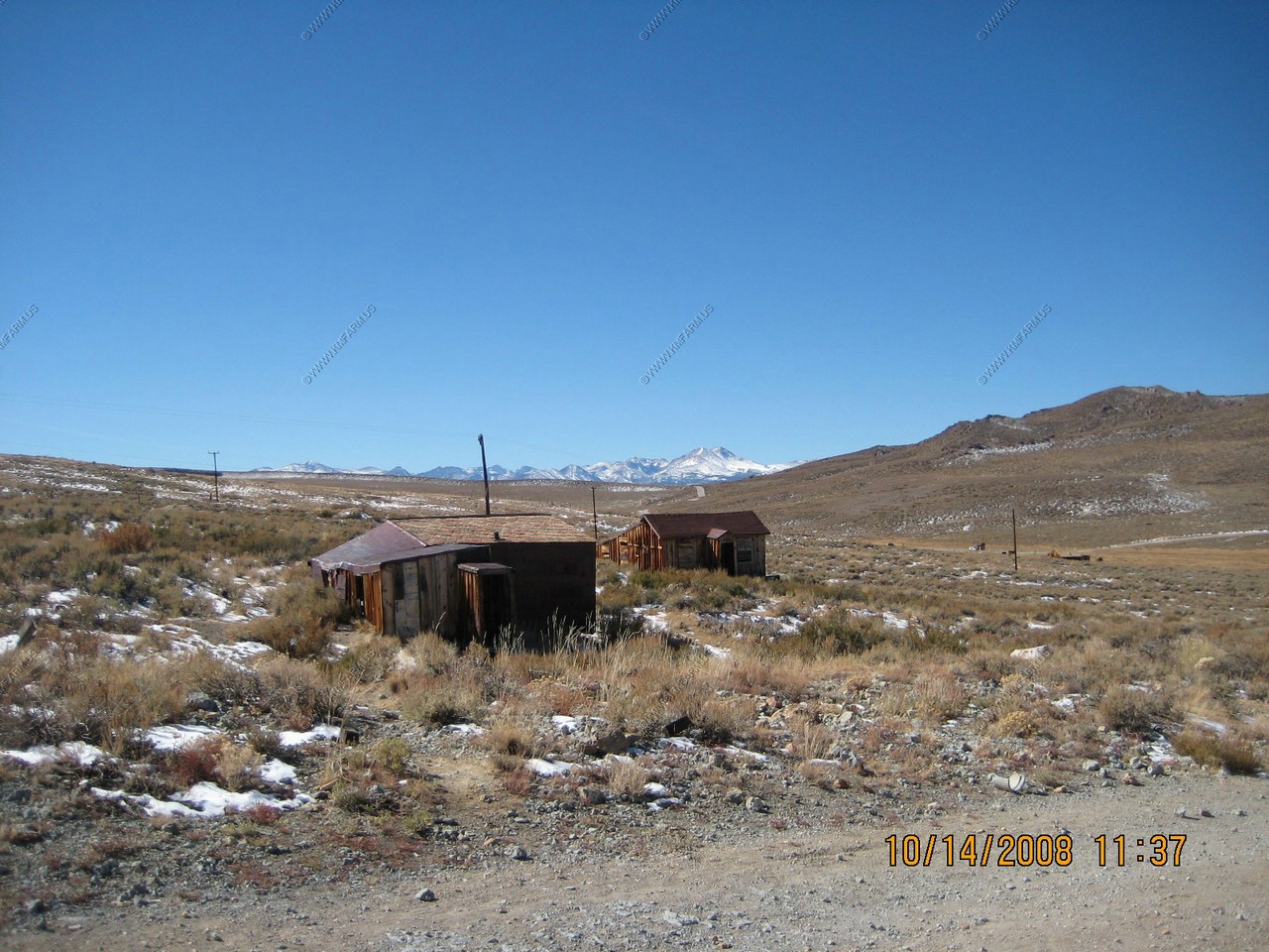
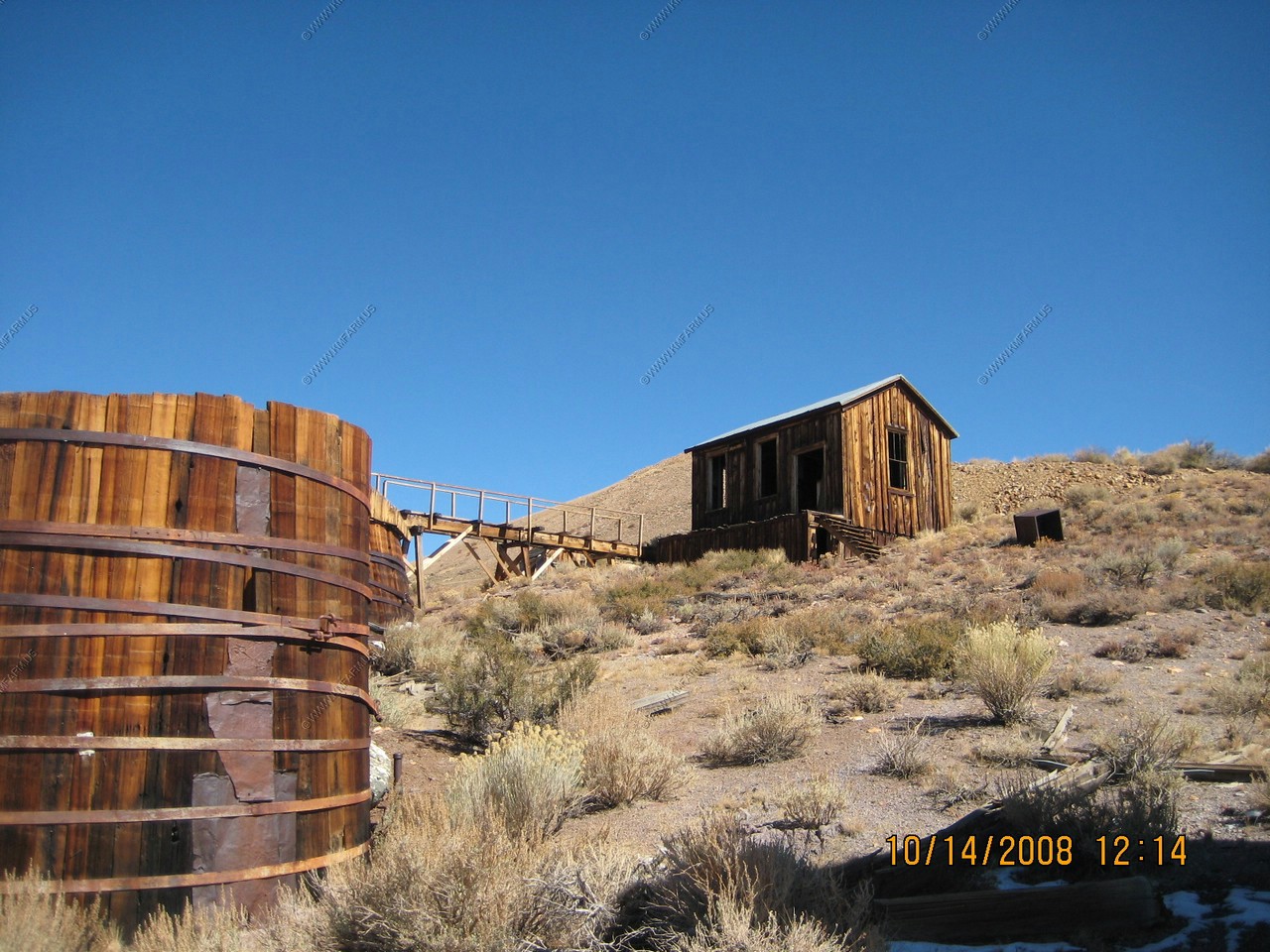
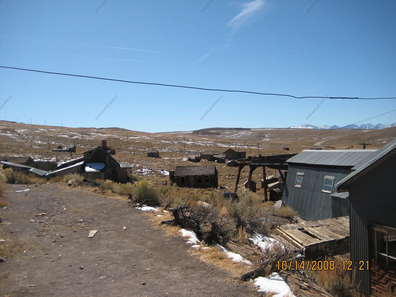
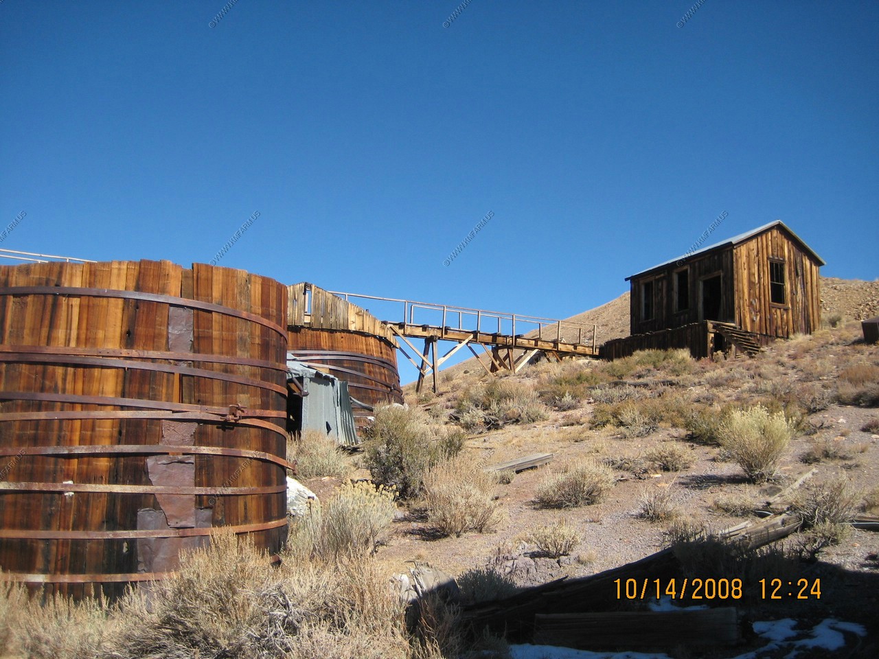
Various town views
Hydroelectric Building and power substation
Energy for the Mills was first derived from steam generated by wood fired boilers. Eventually, however, wood fuel became scarce and uneconomical. Thomas Leggett, superintendent of the Standard company, obtained James Cain's backing and proceeded on his theory that electricity could be transmitted over wires from a distance. A hydroelectric plant, which could develop 3,500 volts and 130 horsepower, was built 13 miles from Bodie, on Green Creek above Bridgeport.
In November 1892, the first test was made. The signal to proceed was flashed over the telephone line put up parallel to the powerline and the switch was thrown. (Some of the original polls and lines still stand. They were installed in a straight line as it was feared that electricity would not be able to turn corners.) The generators began to hum, and the first motor to be operated over long-distance power lines was initiated in Bodie.
News of this engineering breakthrough spread clear around the world, and the engineers soon receive request to build similar hydroelectric plants as far away as Rhodesia and Australia. The Standard Company was the first mine operate an electric hoist in Bodie.

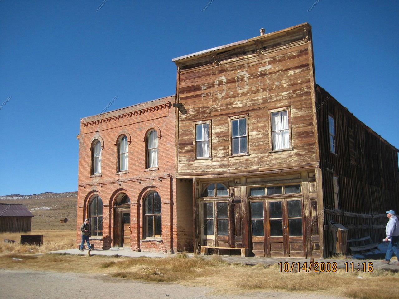
Dechambeau Hotel and Post office (brick) and the L.O.F. Hall (wood)
I think the car can be fixed !
The Miners Union Hall now is the town store and a small museum.
We walked way up Green Street to get a view of the town from the East You sould see the Eastern slope of the Sierras over the hills west of town
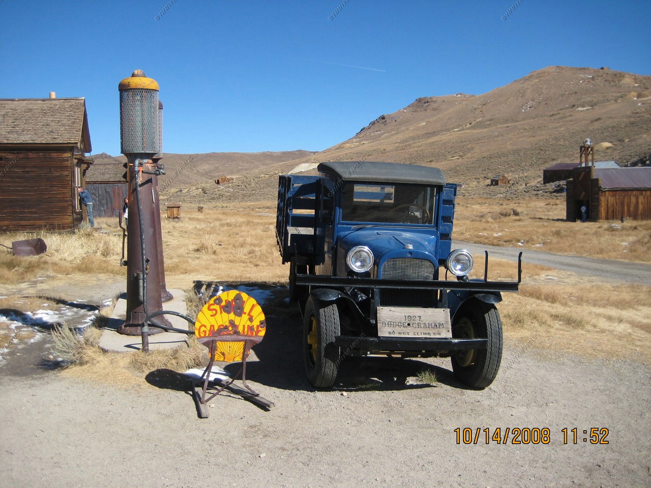
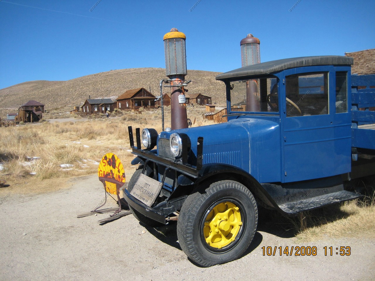
Cool old 1927 Dodge truck
Fire Departement
Metal can roof
Ken in his shorts in the snow !
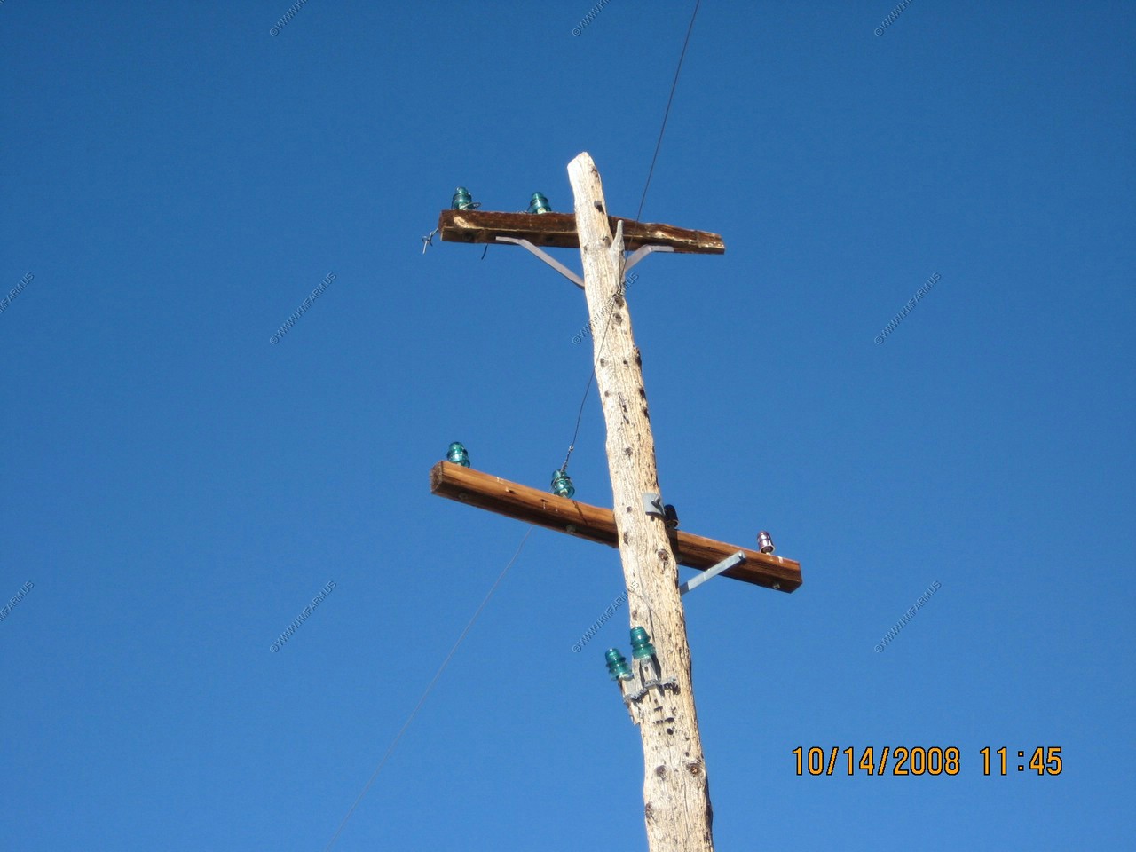
Blue sky and glass insulators
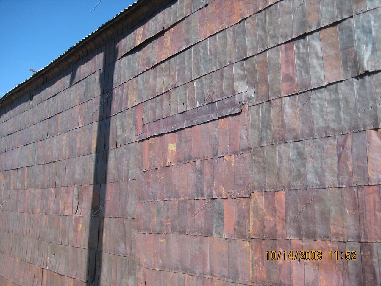
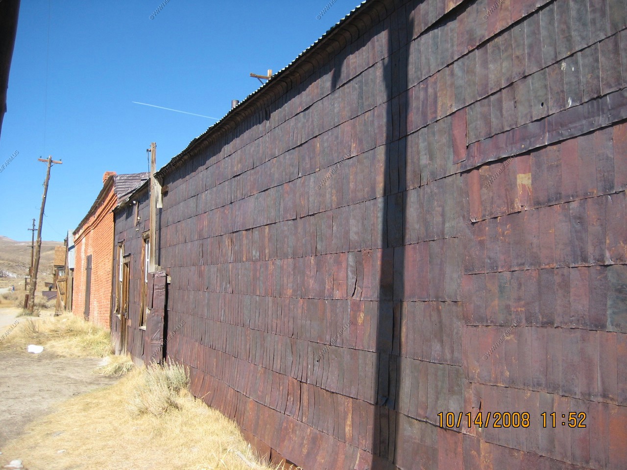
Walls made from old cans. Very cool !
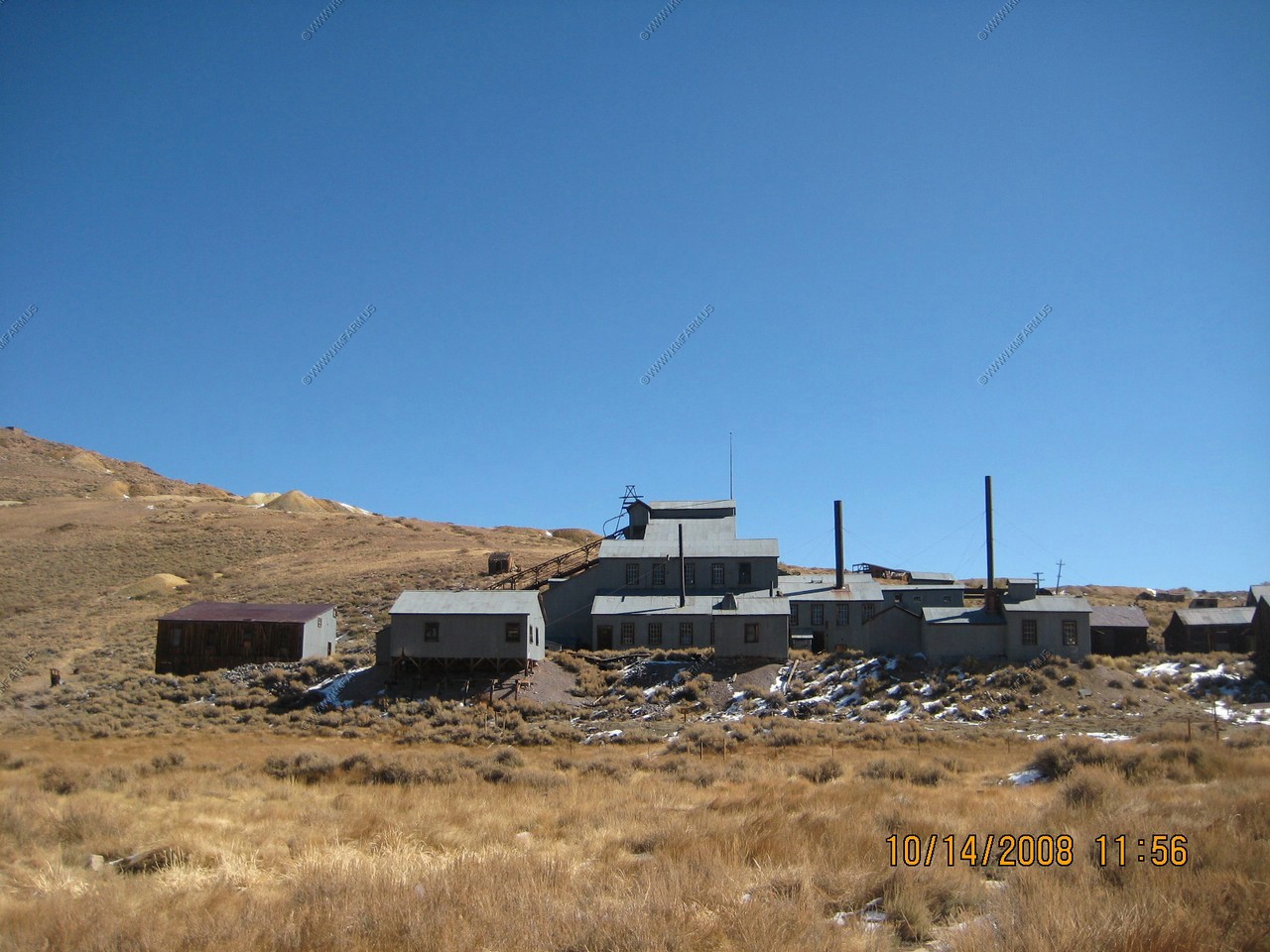
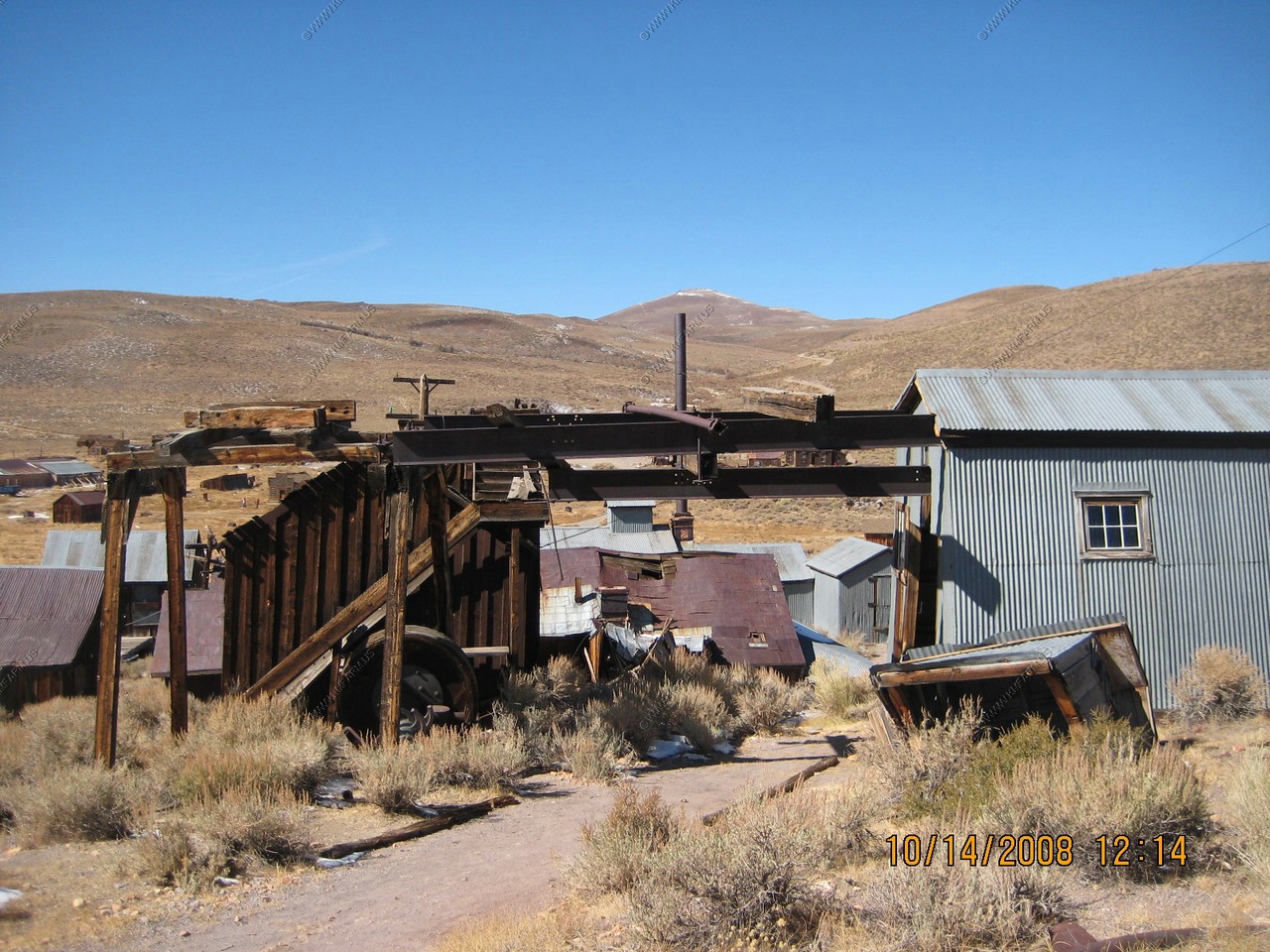
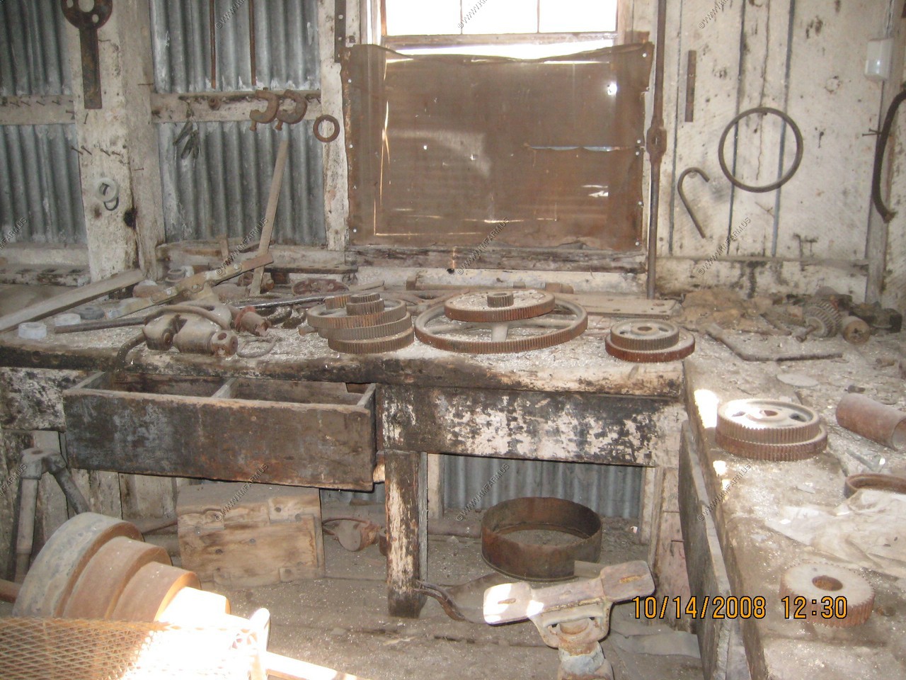
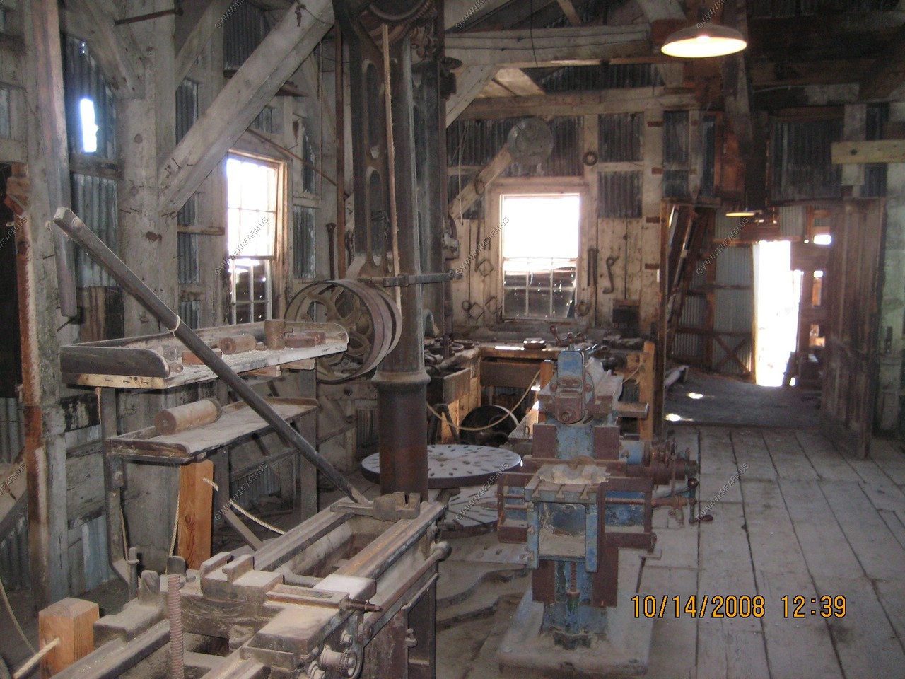
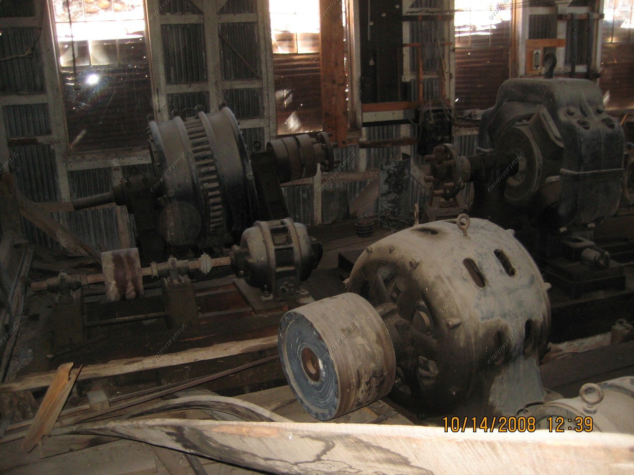
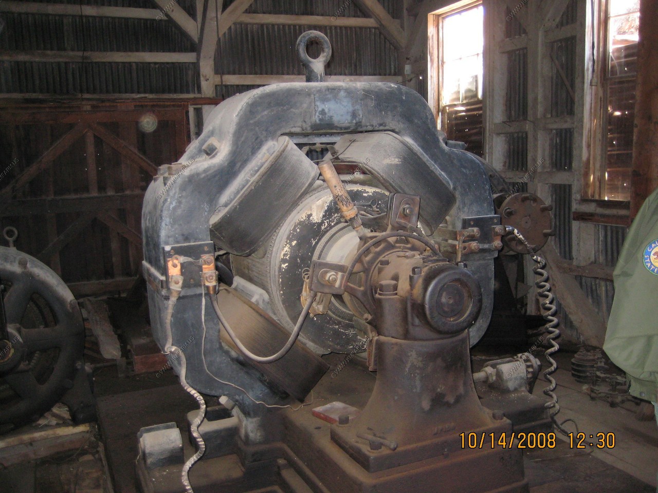
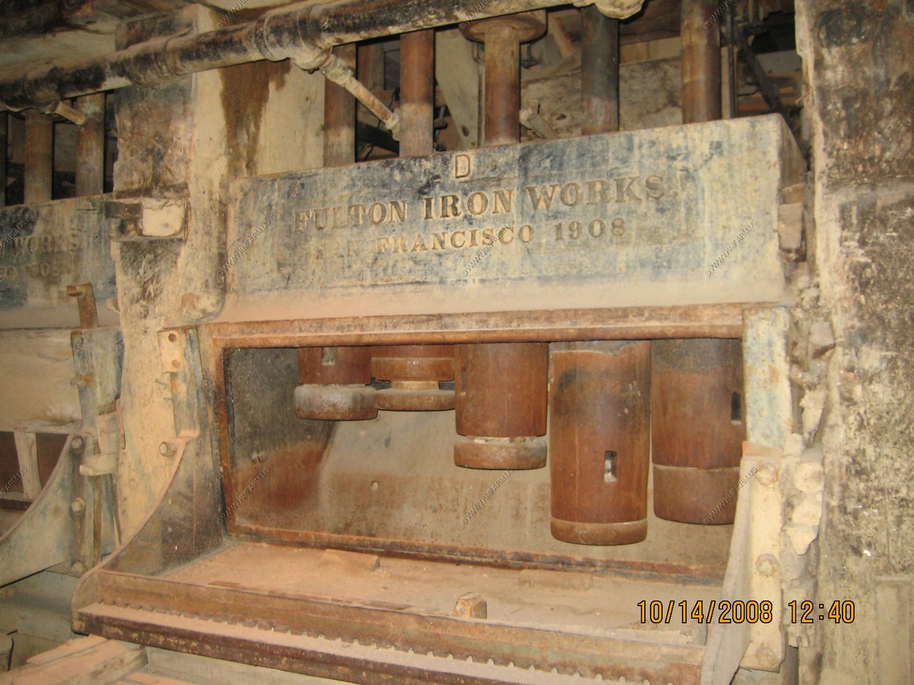
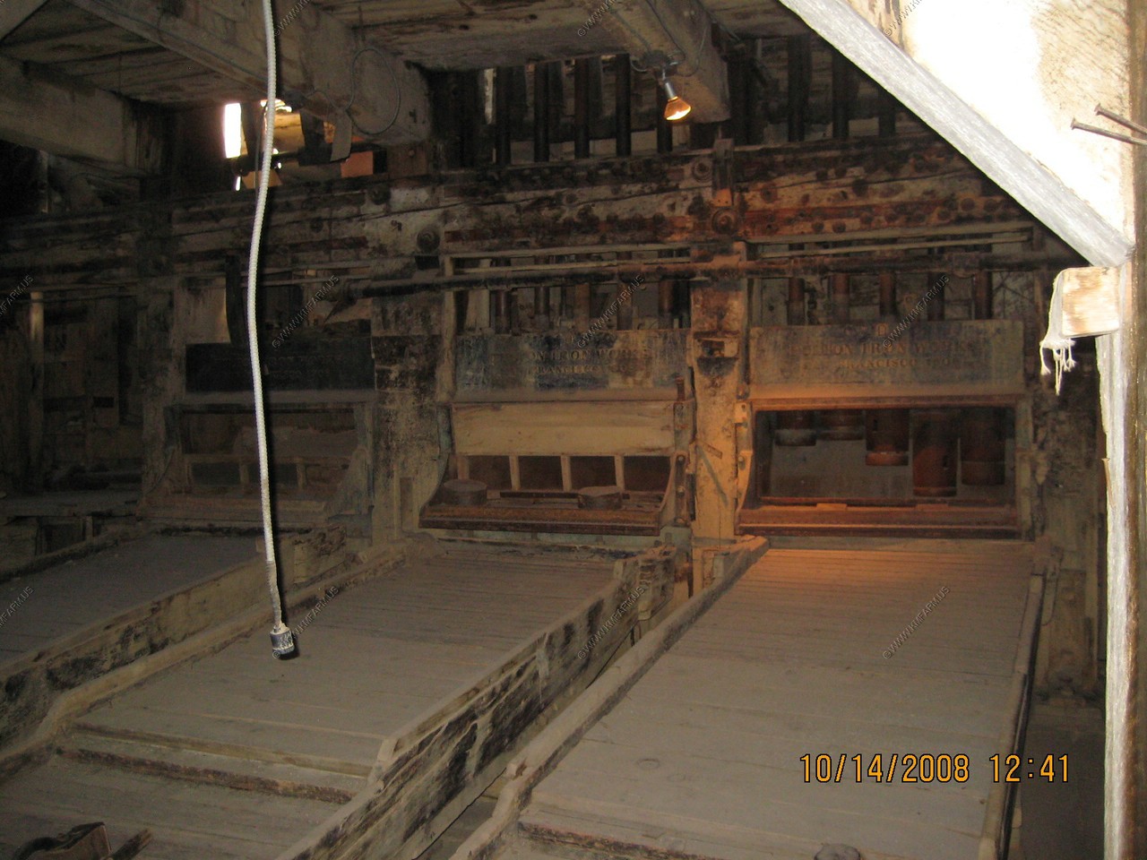
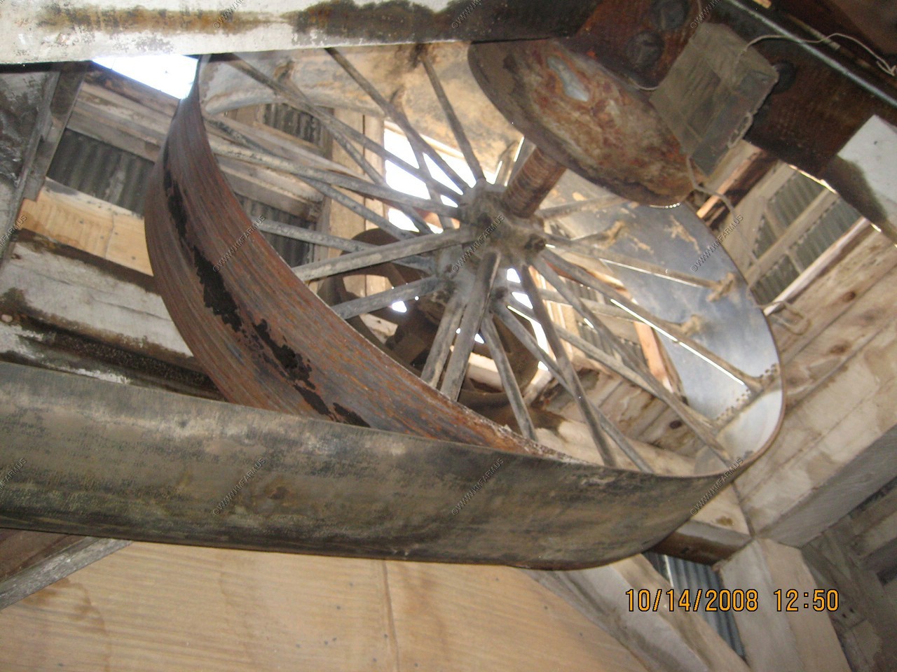
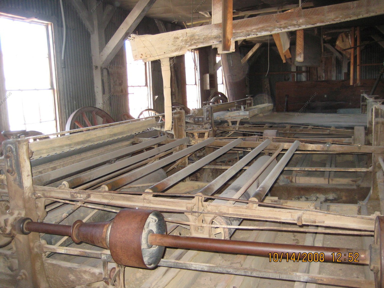
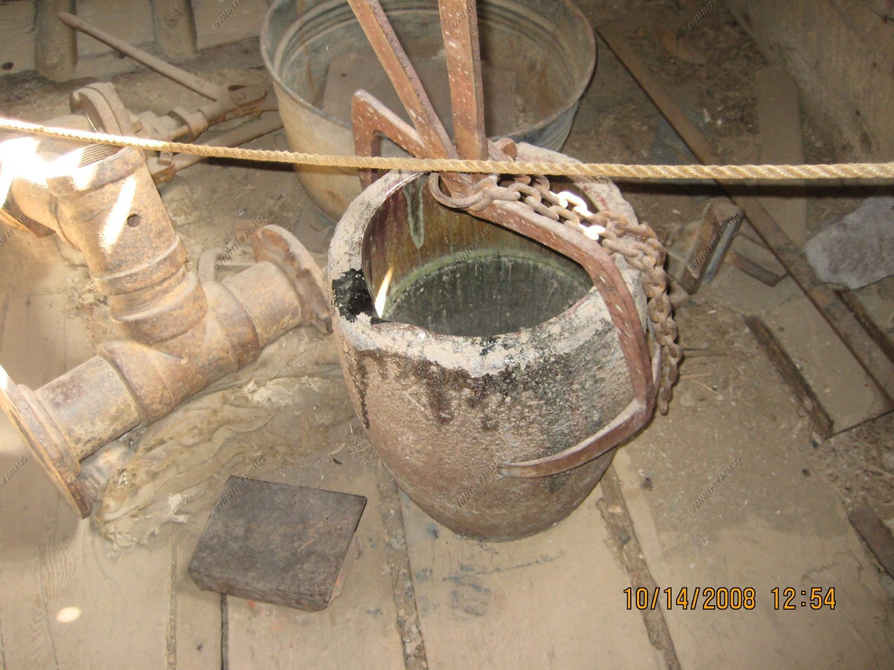
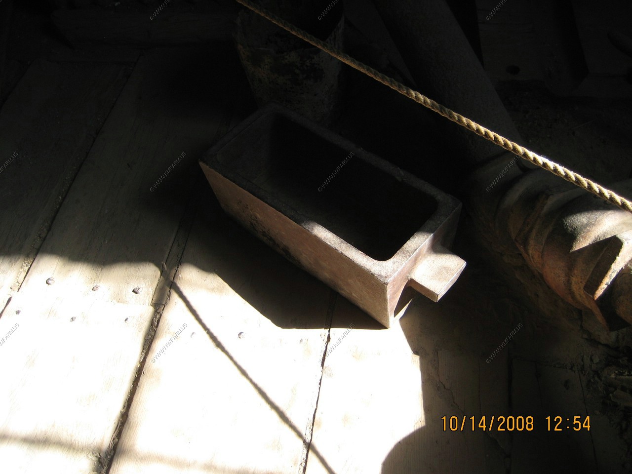
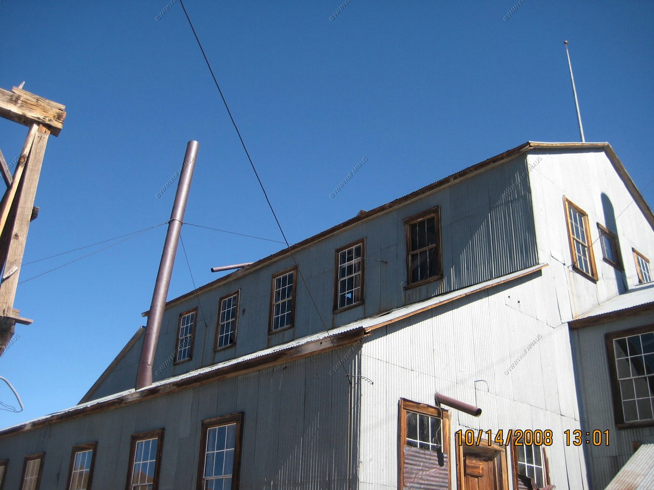
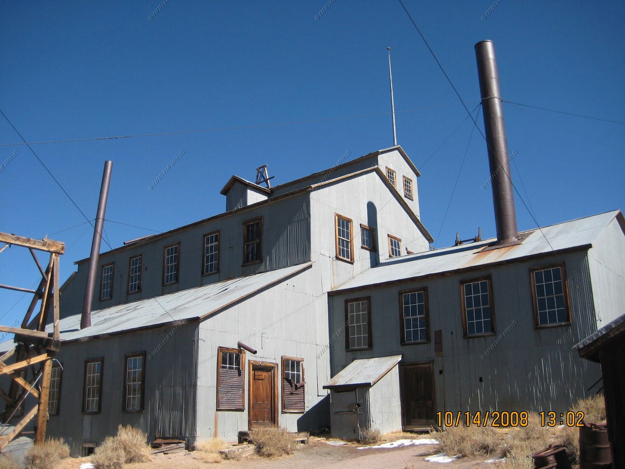
We took the tour of the Standard Stamp Mill. Very good ! Impressive mill.
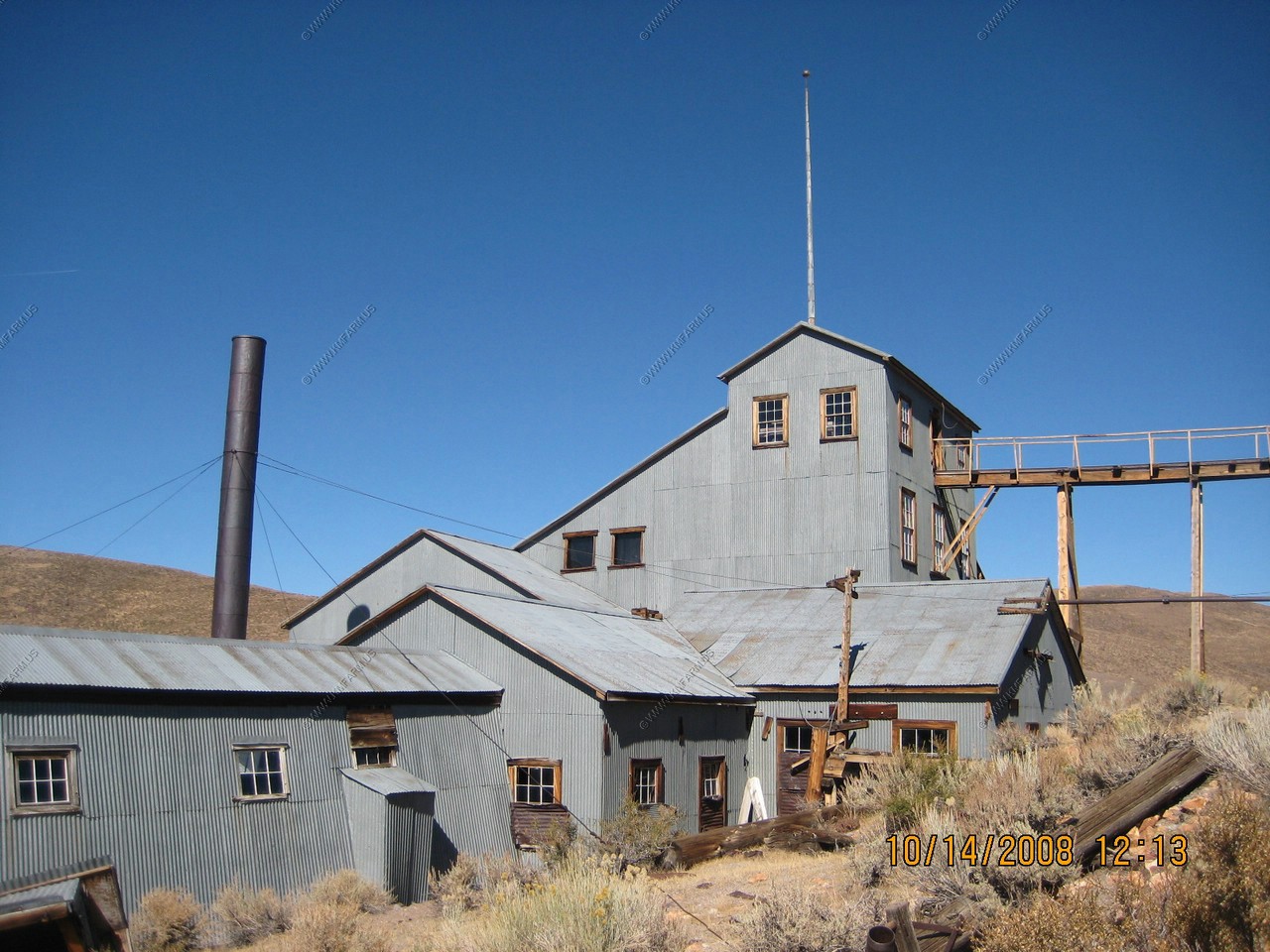
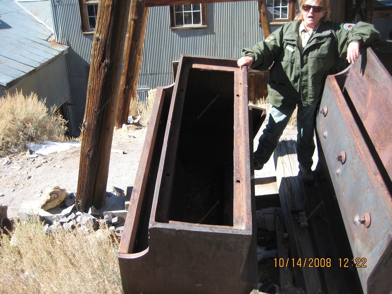
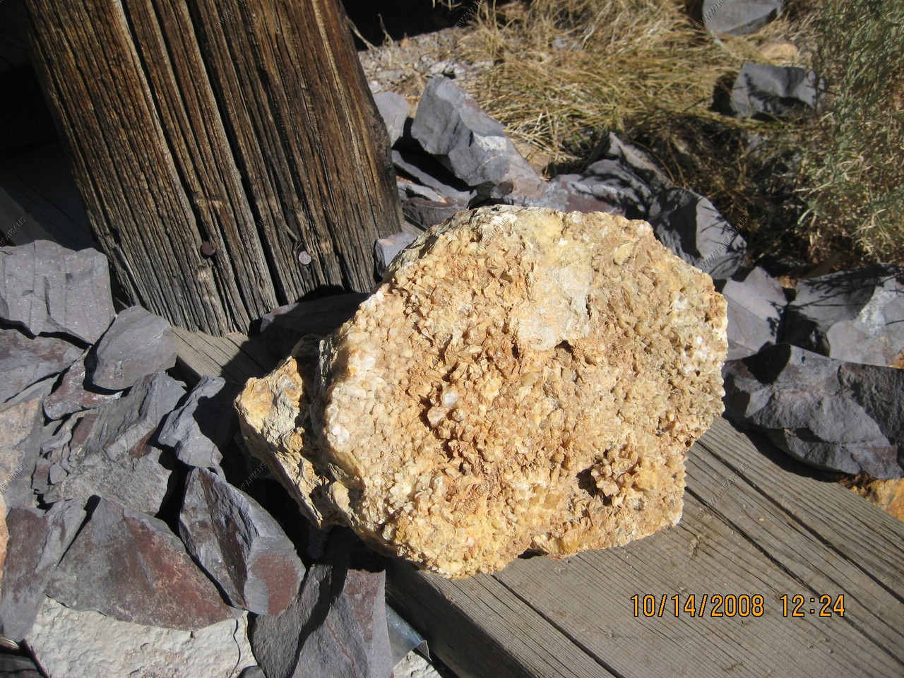
What the ore looked like
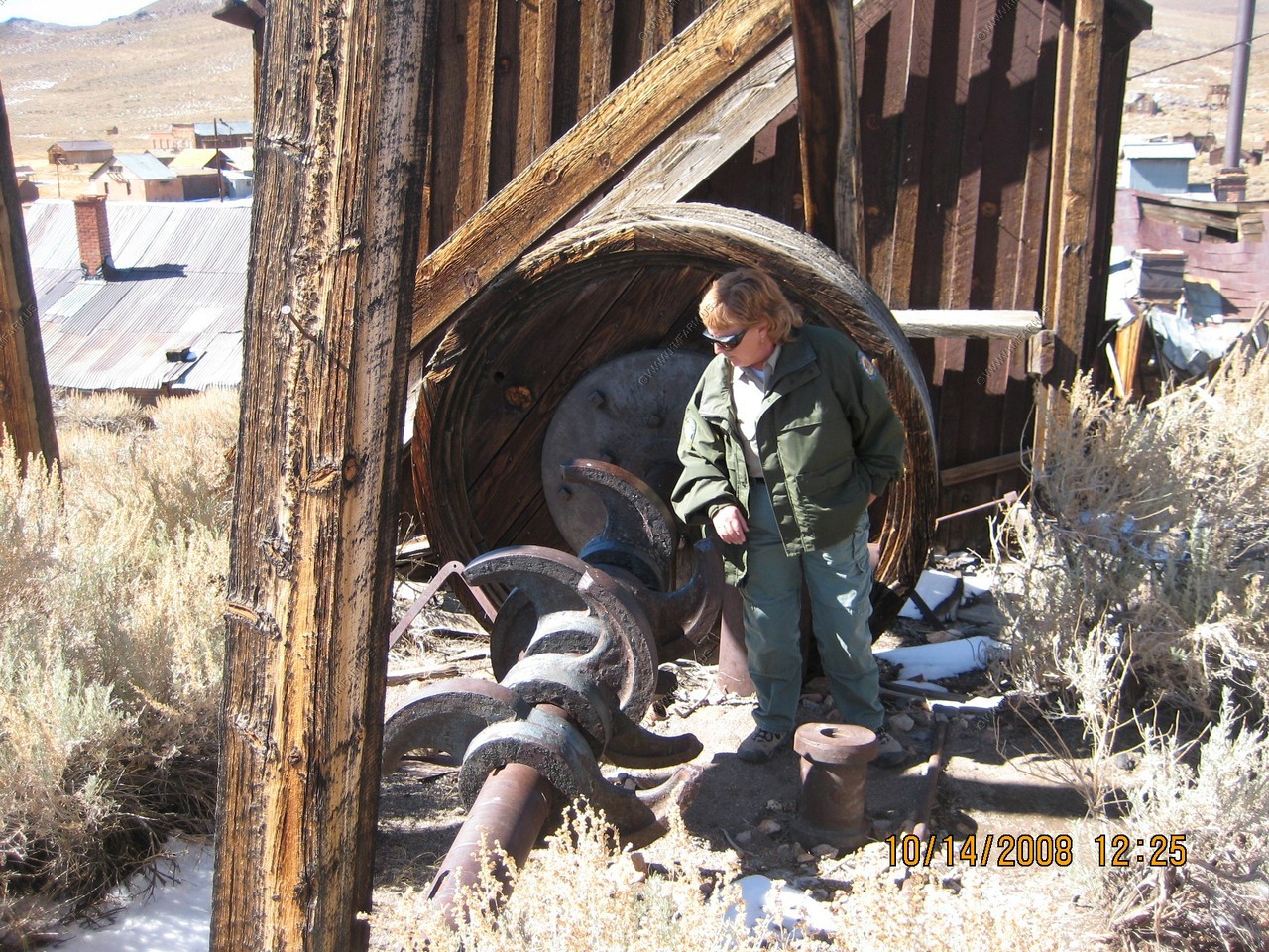
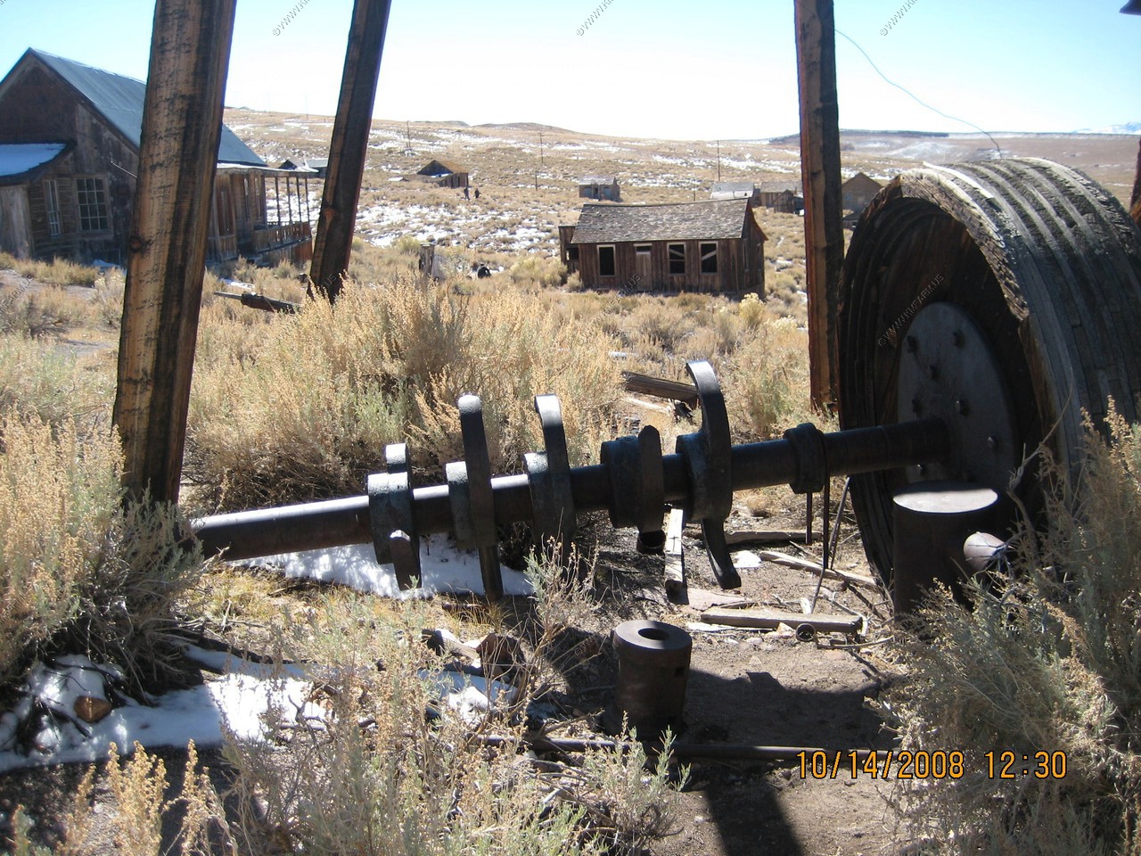
Motors that ran the mill. These were powered from the hydro plant 13 miles away.
Stamps in the stamp mill
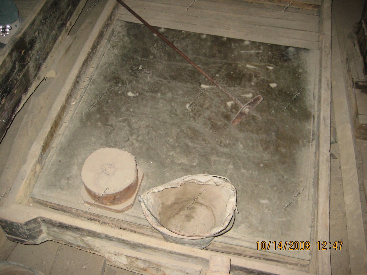
Where the gold would be melted and poured into the ingots. They made them very heavy so it was harder to steal.
Back outside

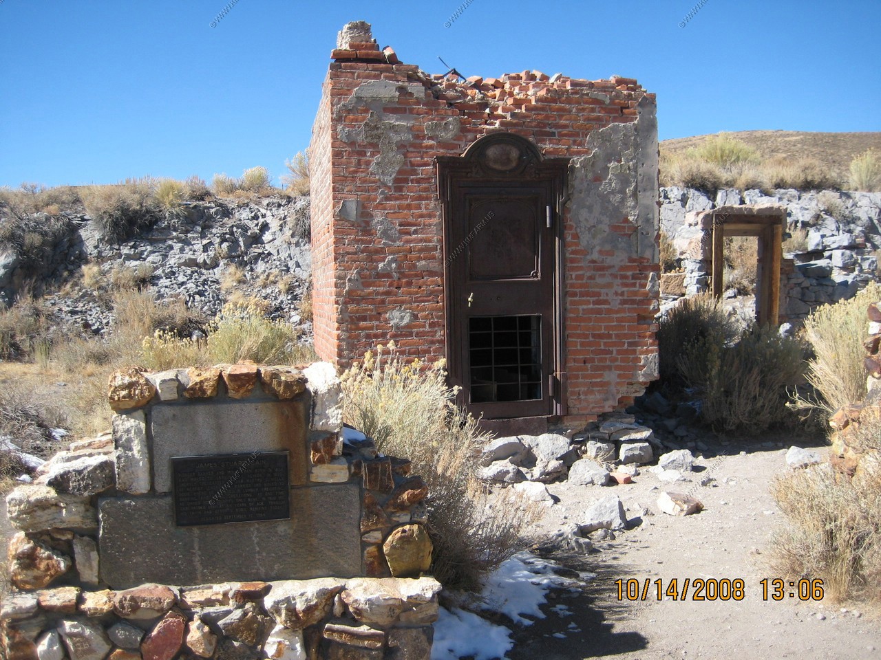
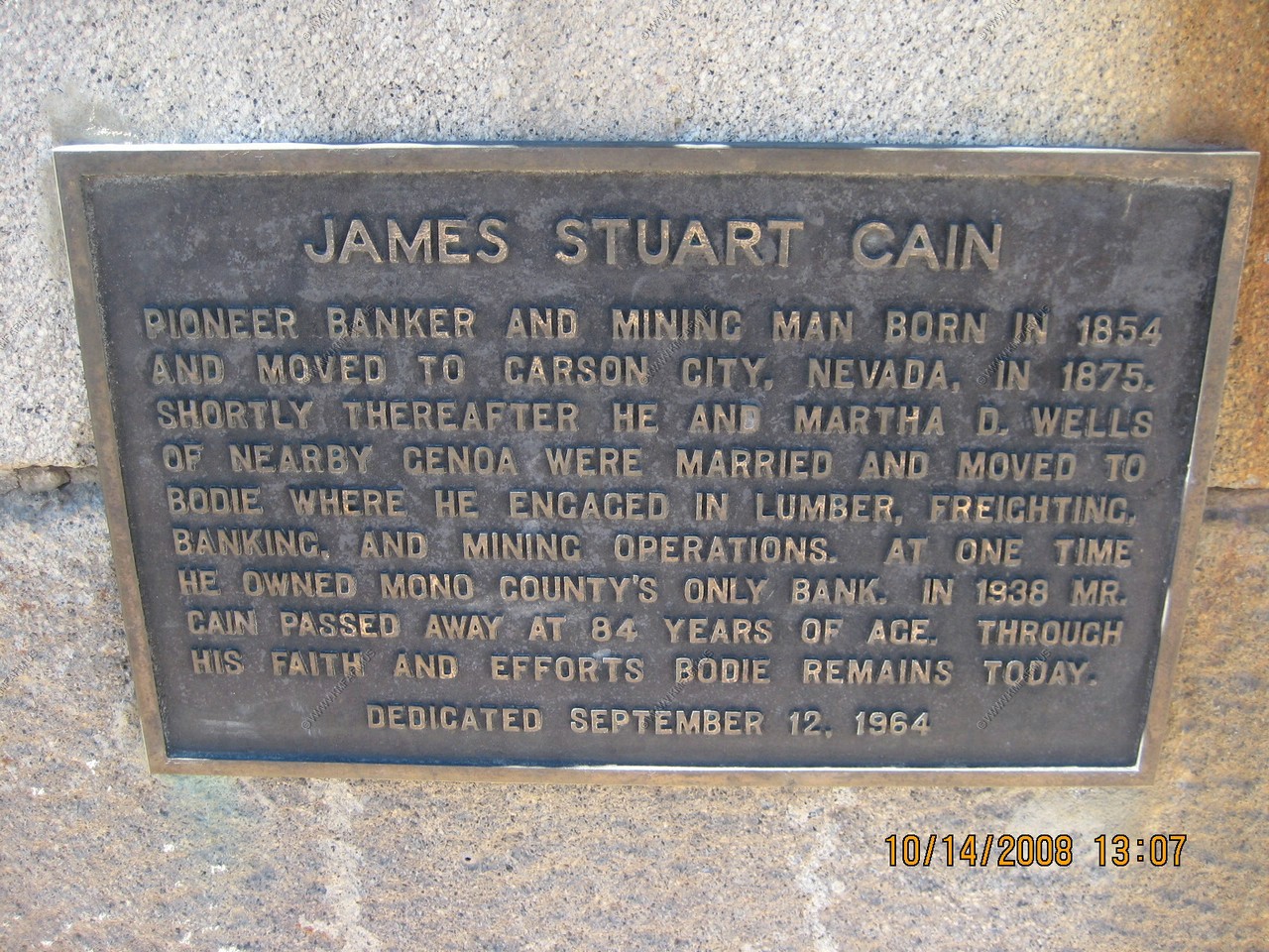
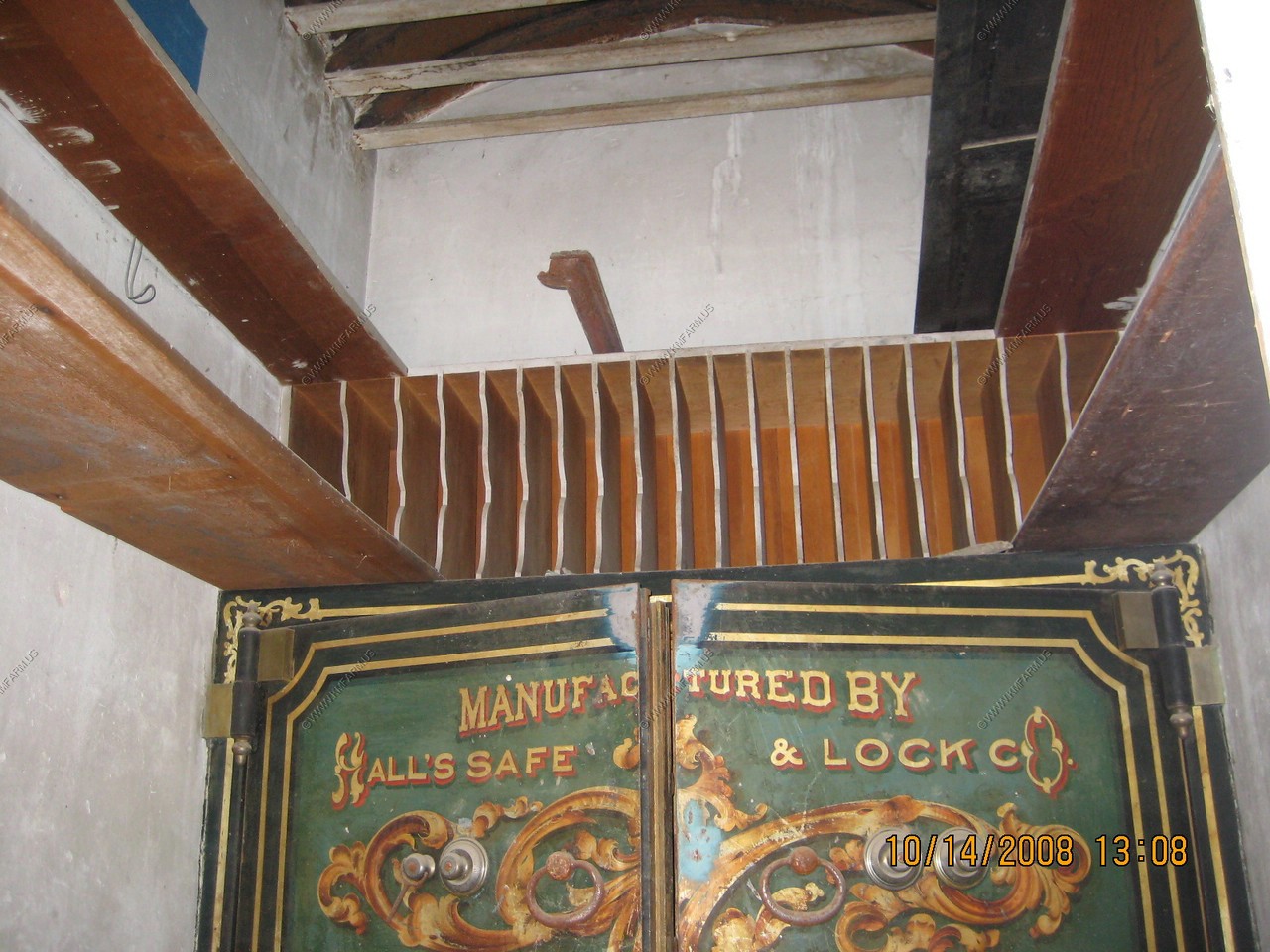
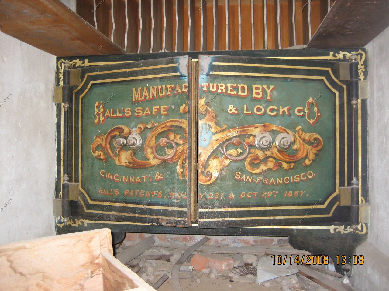
Bodie Bank
This is the site of the Bodie Bank, which James S. Kane bought from E. L. Benedict in 1890. The bank escape the fire of 1892, but was then destroyed by the fire of 1932. All that you see here are the remains of the vault. It was robbed on September 1, 1916 by four men who got away with $4,000 in money and jewelry.
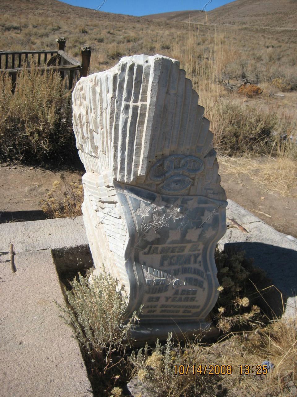
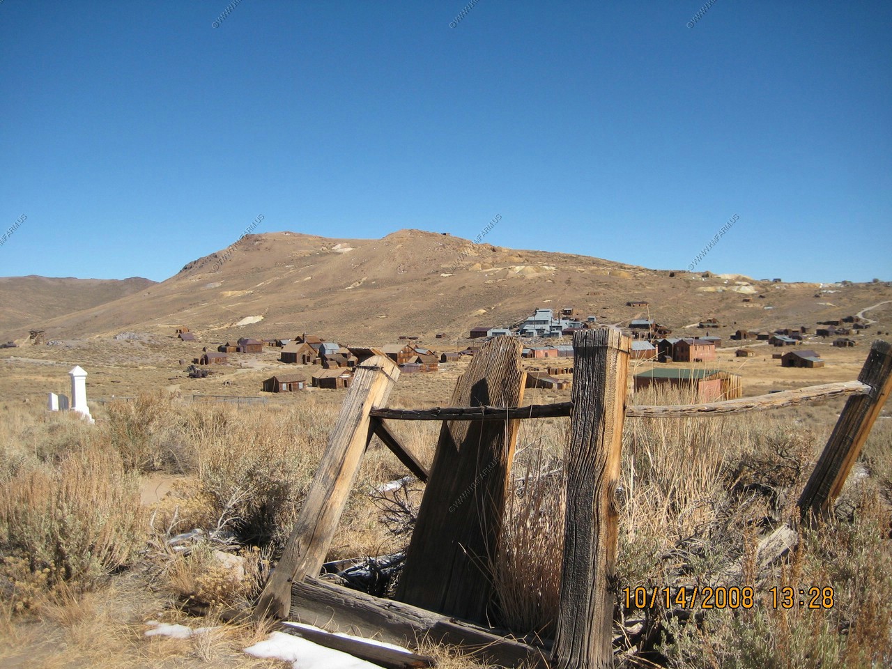
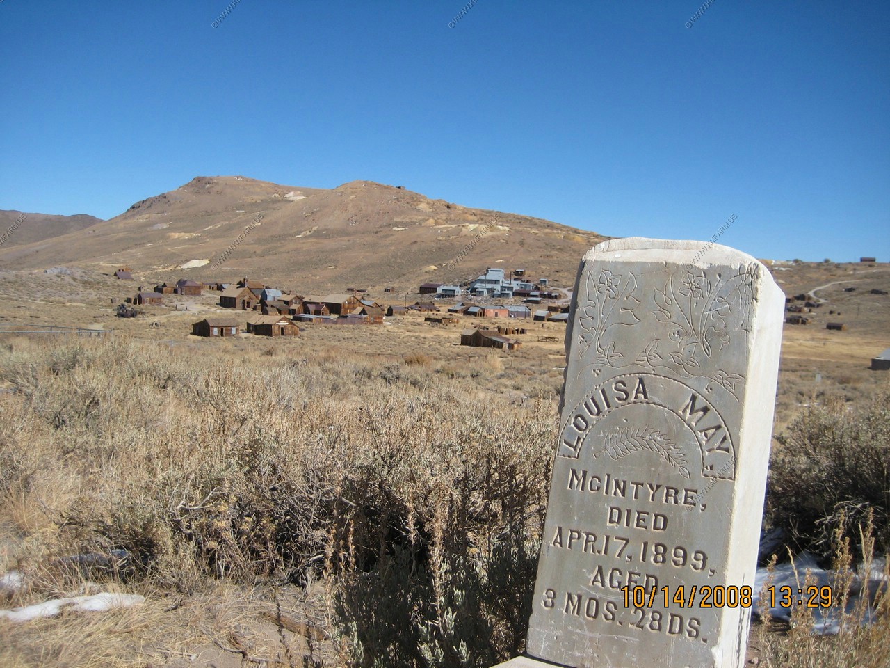
We walked up to the old cemetery on a hill overlooking the town.
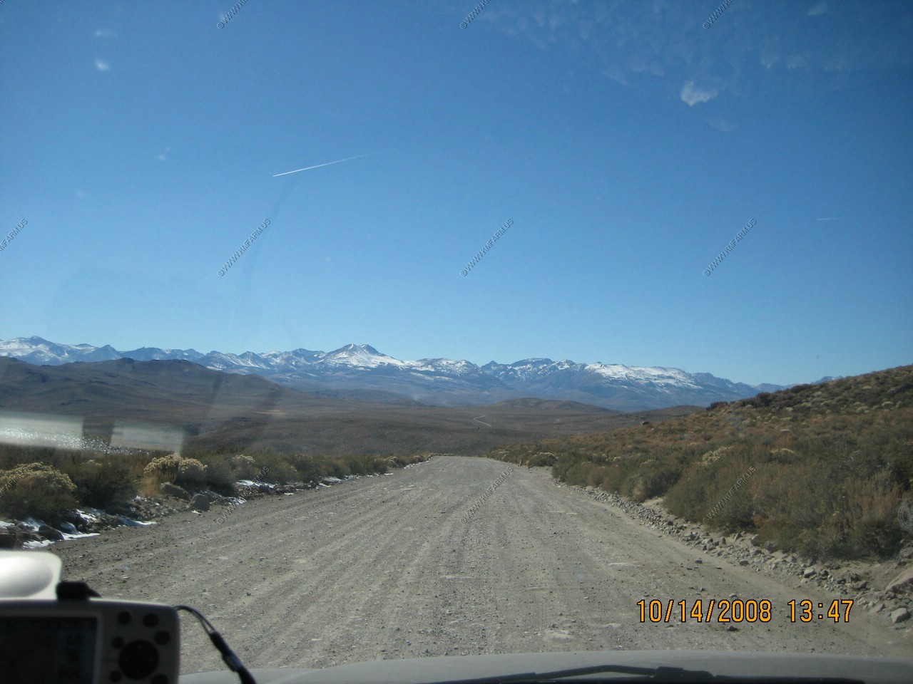
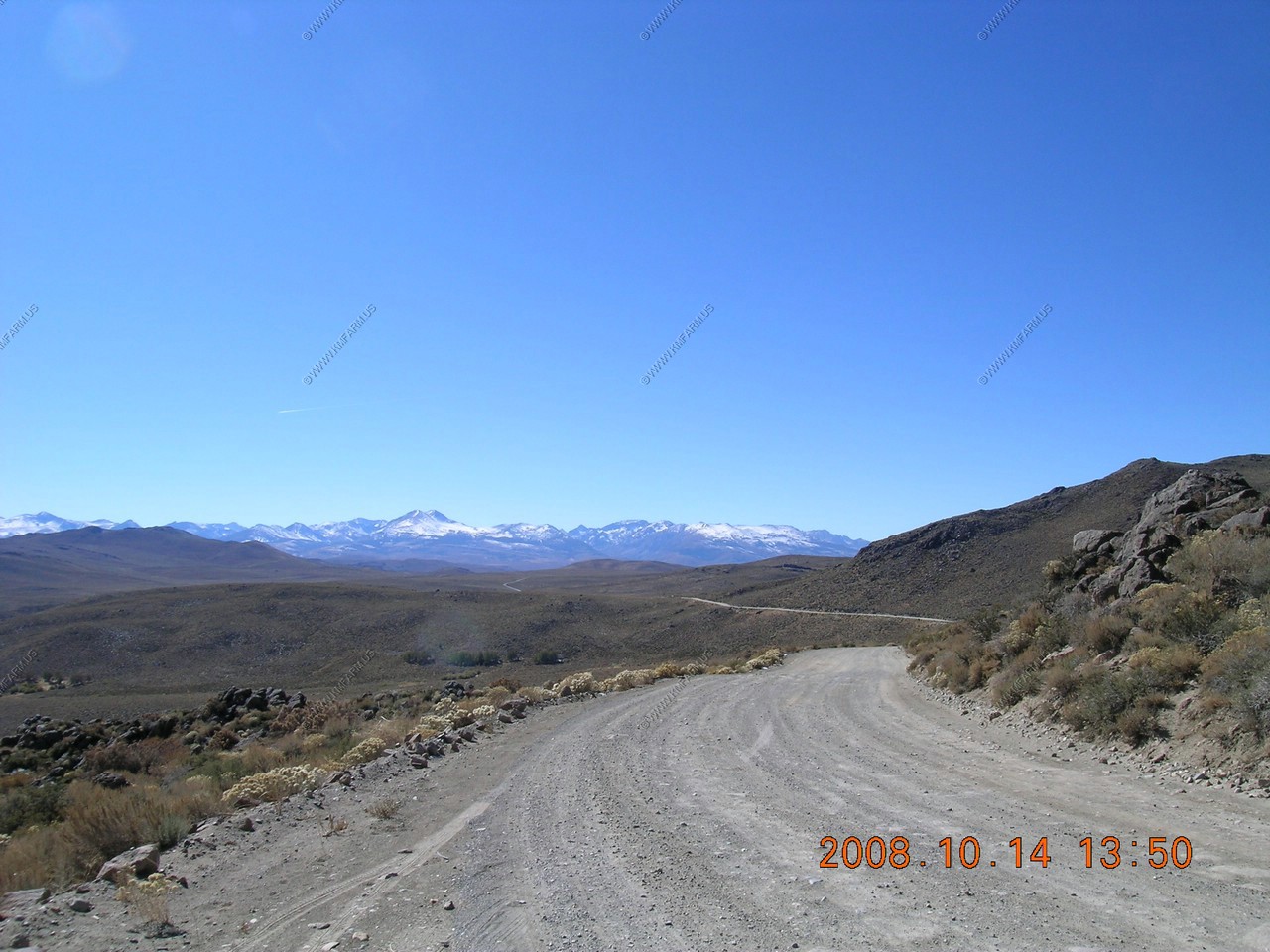
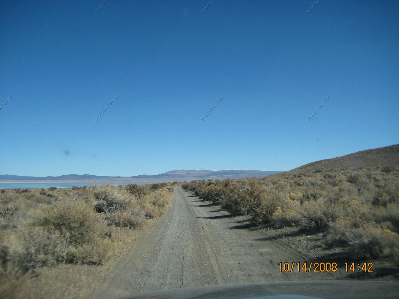
Driving on CA-270 from Bodie back to US-395
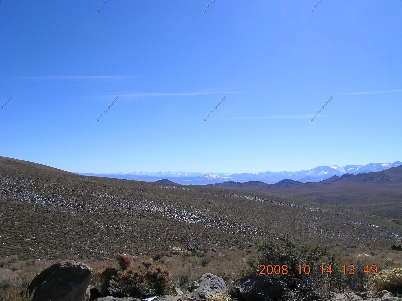
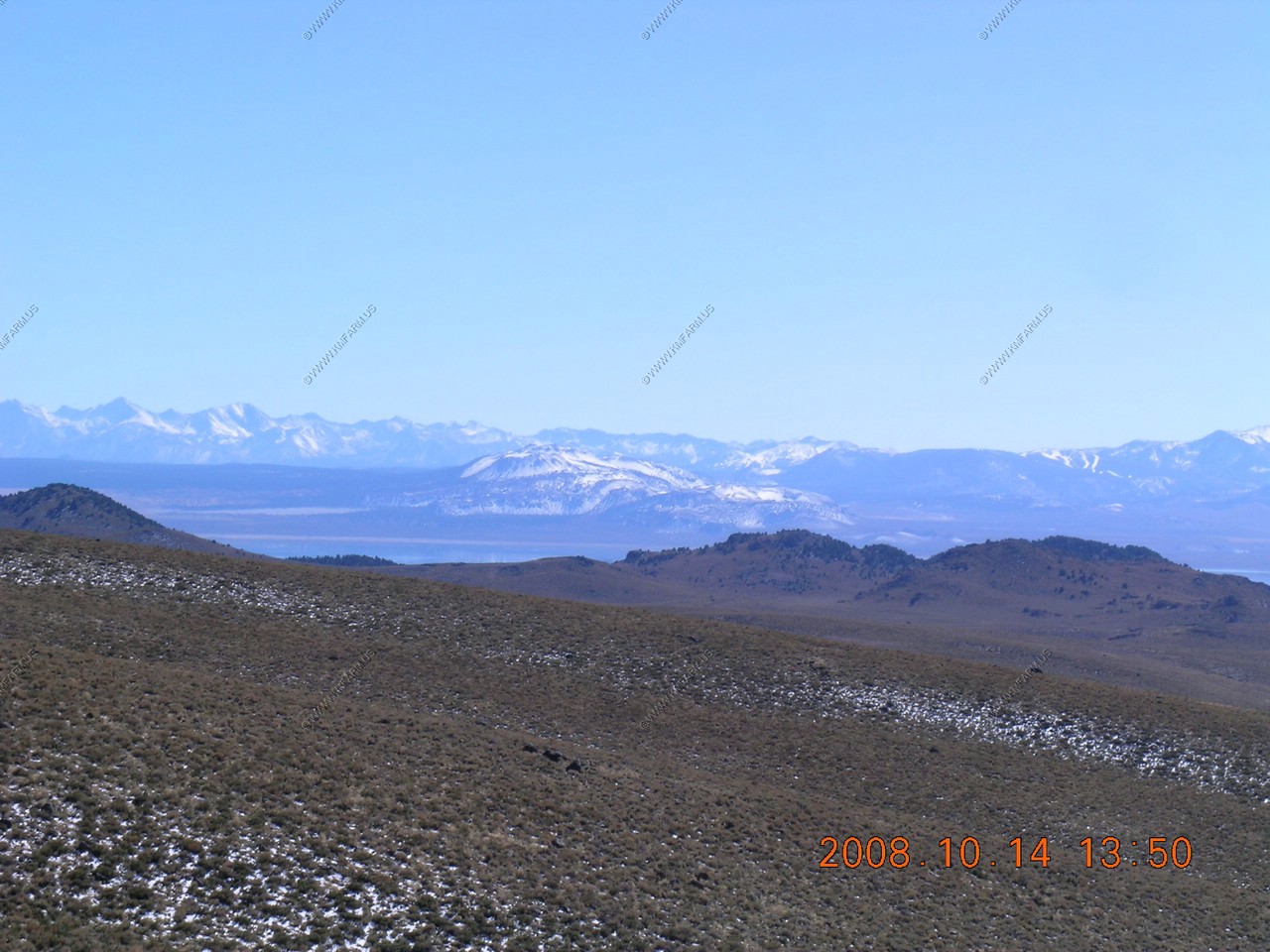
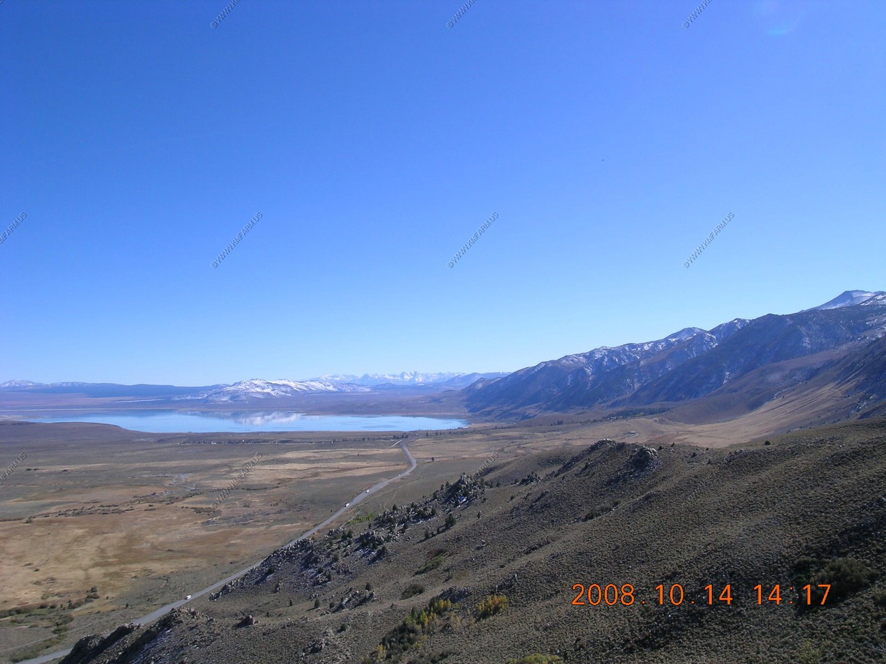
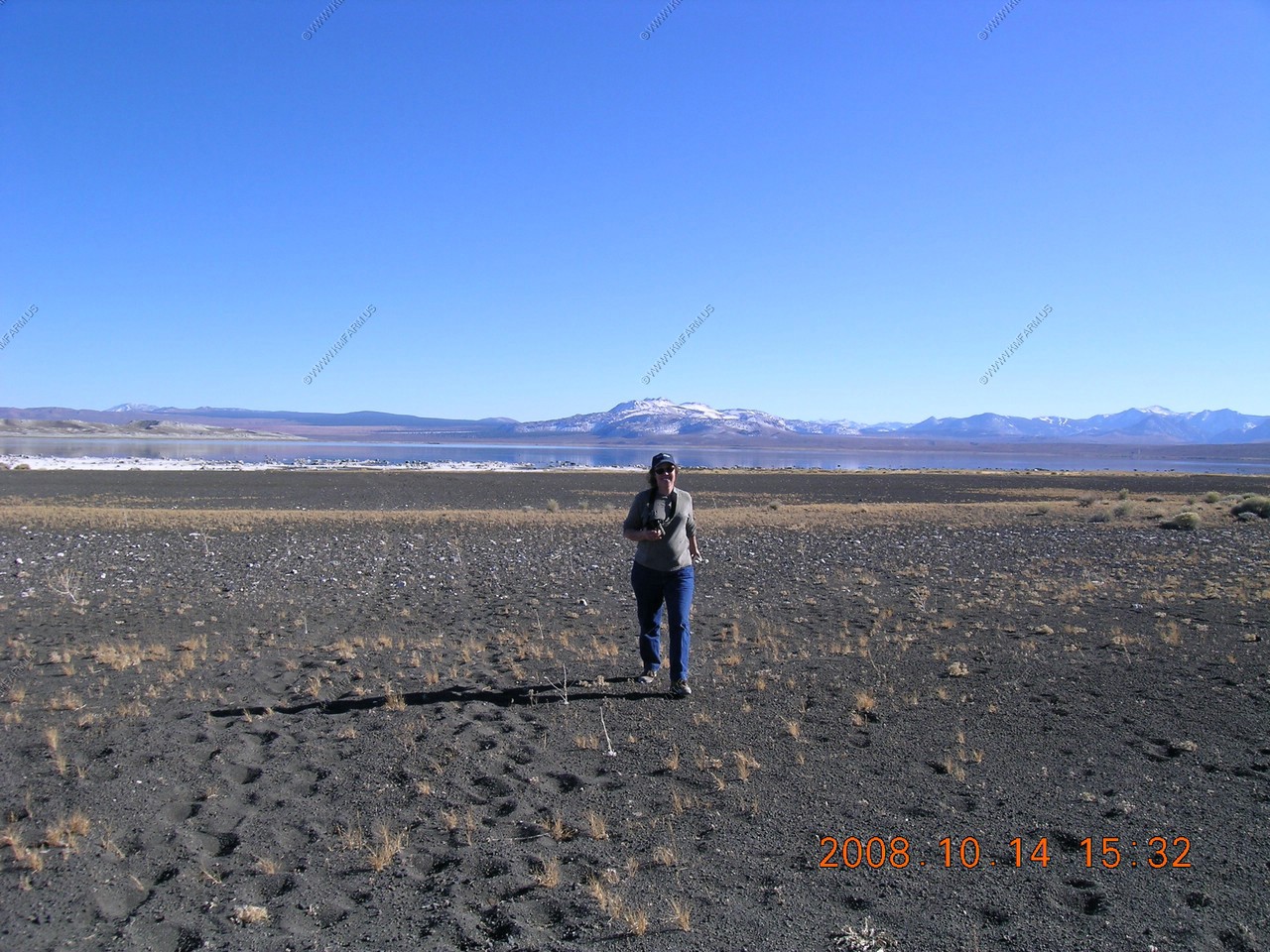
Looking south for well over 50 miles. You can see Mono Lake then Mono Craters. To the right you can see some of June Mountain Ski area. South of that you can see The Sherwin Range which is a mountain range that is a part of the Sierra Nevada. The range is immediately to the south of the Long Valley Caldera, stretching from just south of the town of Mammoth Lakes, California
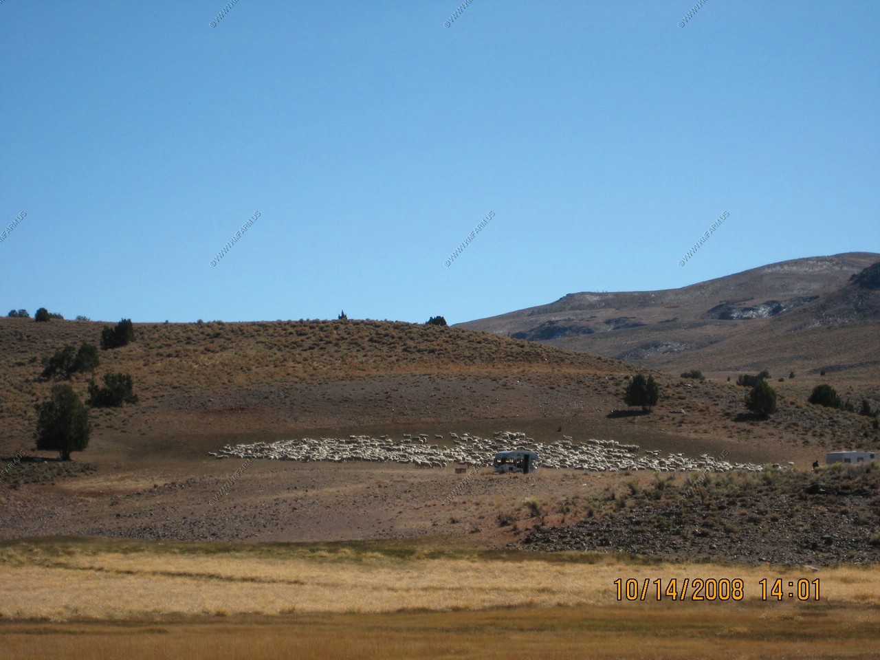
Sheephearding along CA-270
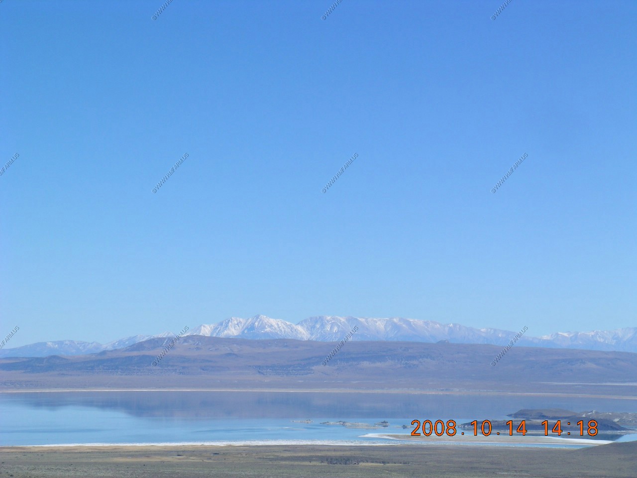
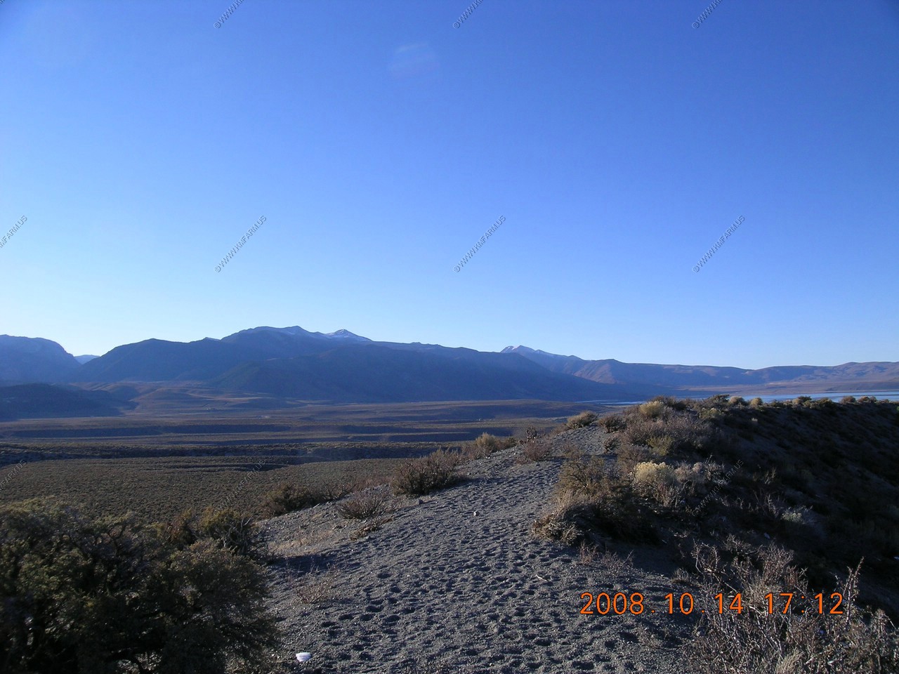
Conway Overlook
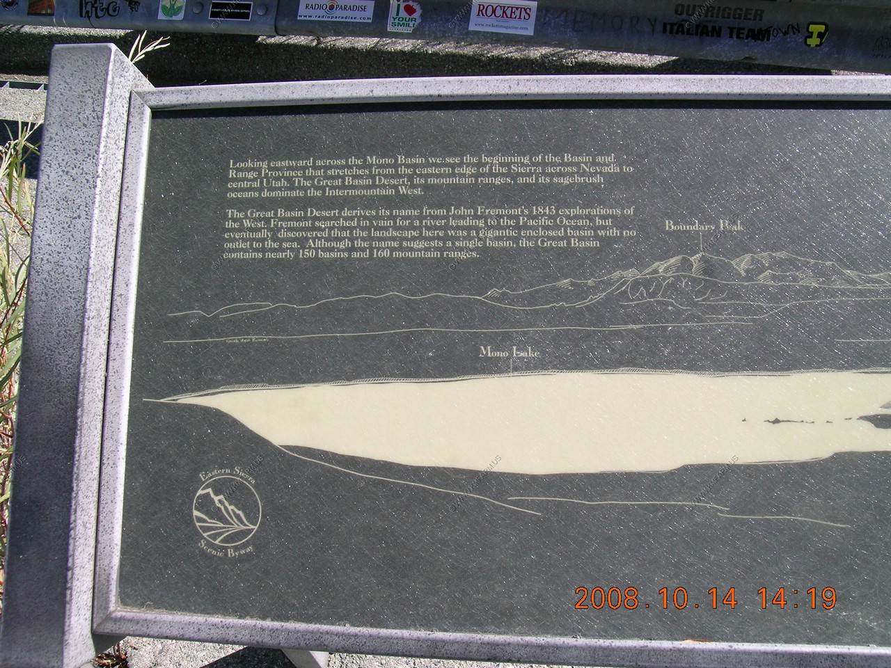
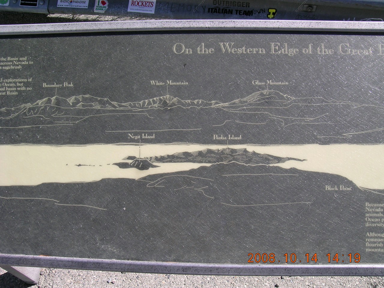
Looking southeast over Mono Lake to the White Mountain Range (Highest Range in the Great Basion region)
The northern area in view is the highest point in Nevada, Boundary Peak (El. 13,140)
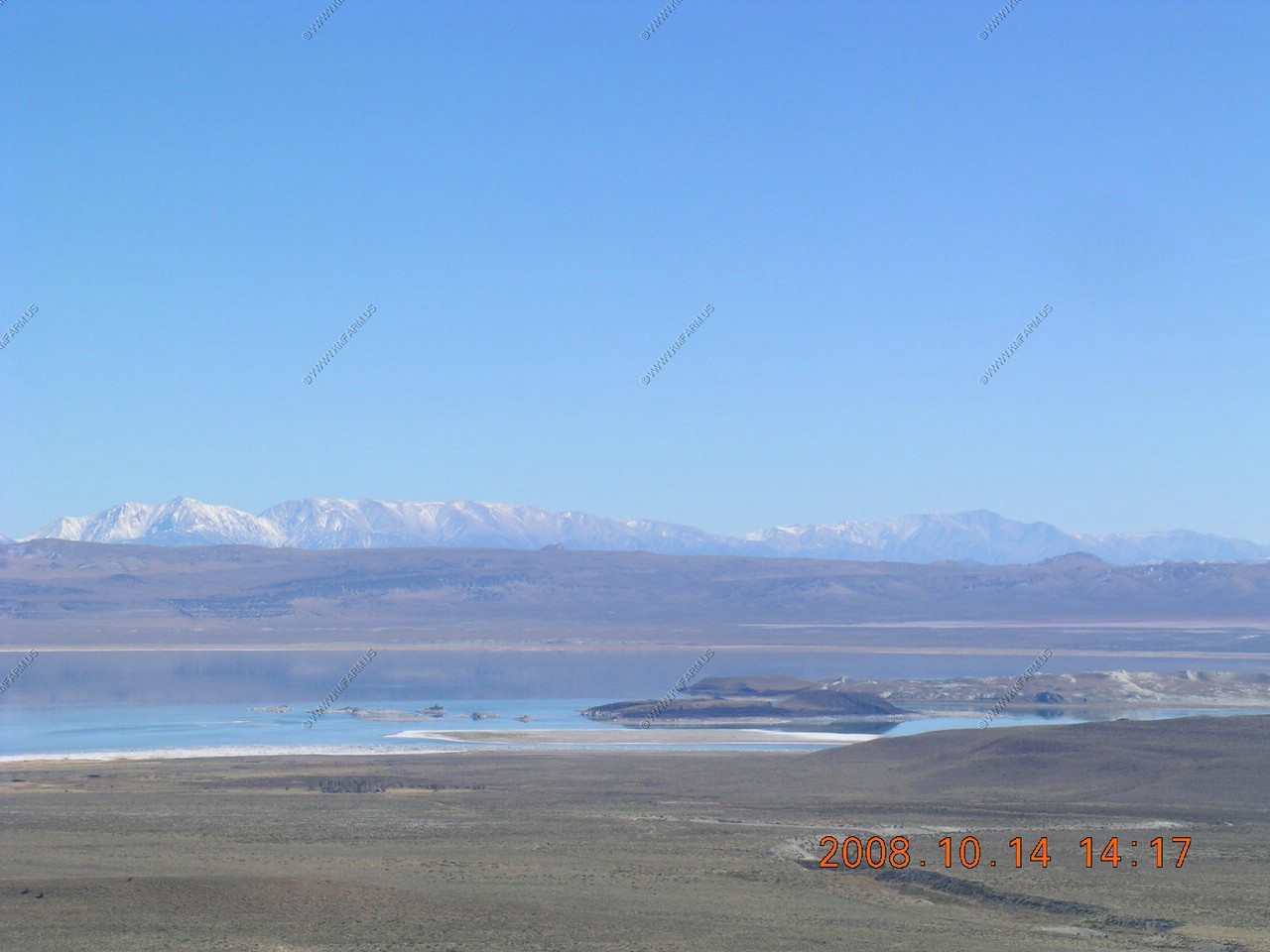
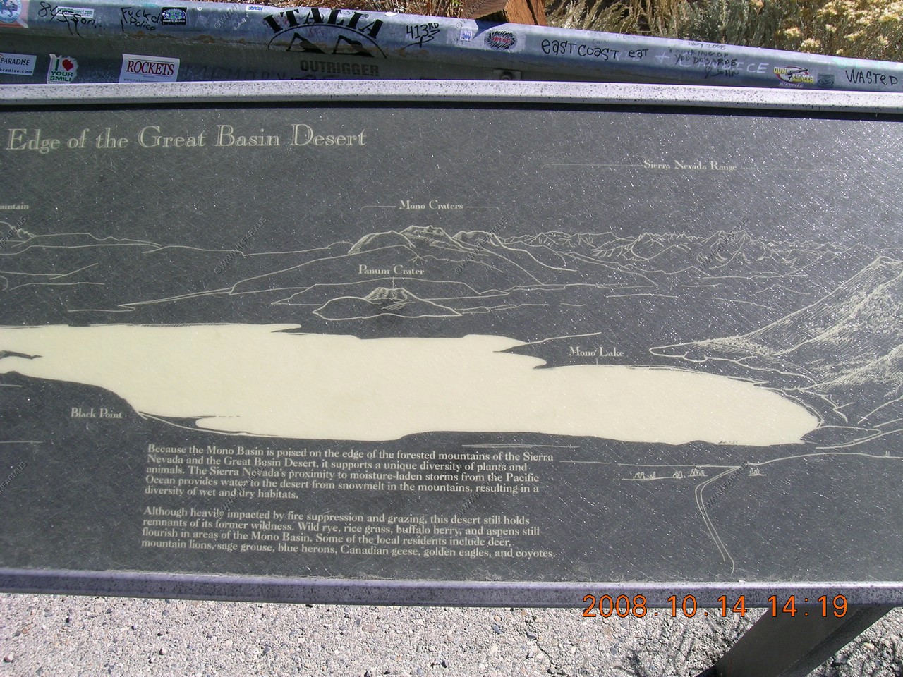
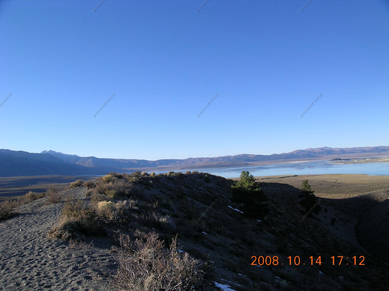
Mono Lake, White Mountains, Mono Craters. Generally most of the Long Valley Caldera. Also, US-395 going by the west side of the lake.


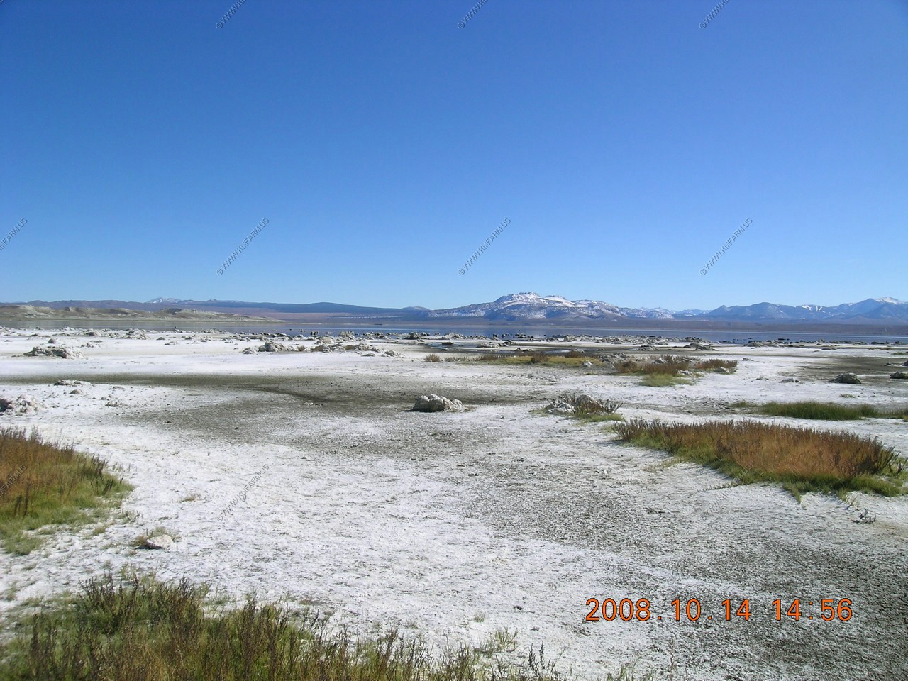
Black Point
The guy at the visitor center told us to check out Black Point--good birding.
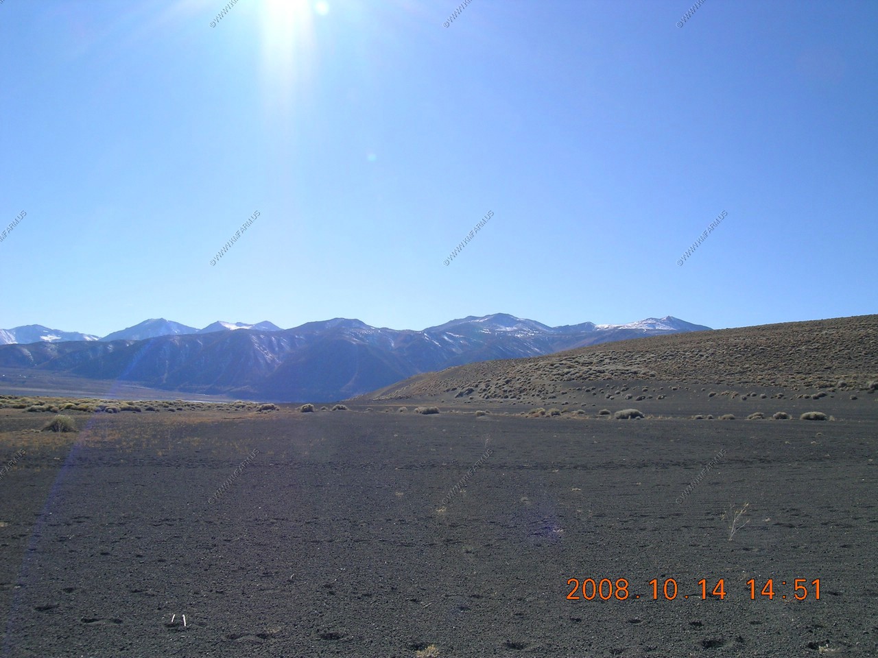
A few miles of dirt roads to the parking area.

Cinders everywhere
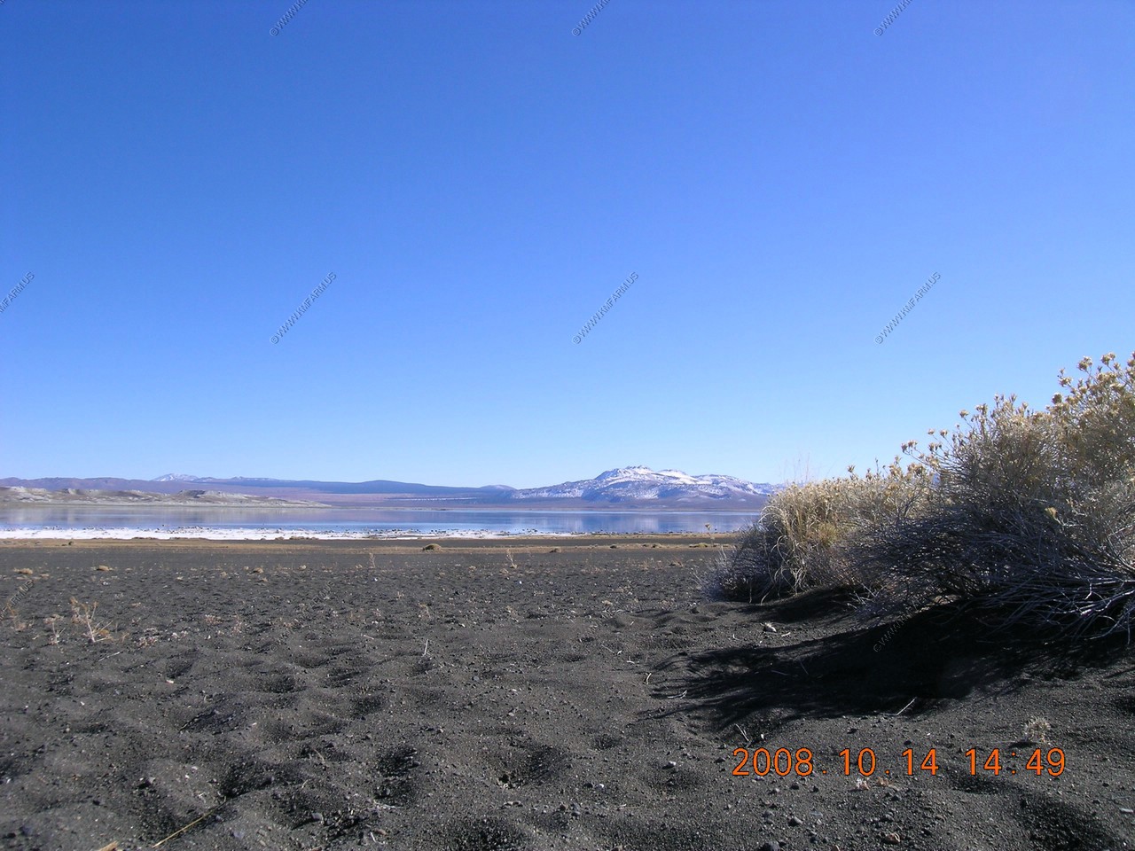
The parking area was appx. 1/2 mile to where it started getting damp near the lake.
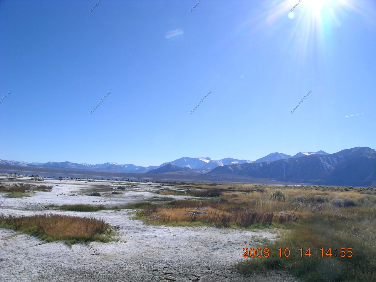
We would hop between high (dry) spots.
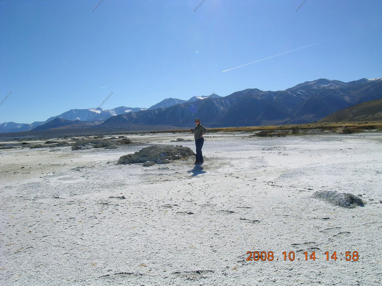
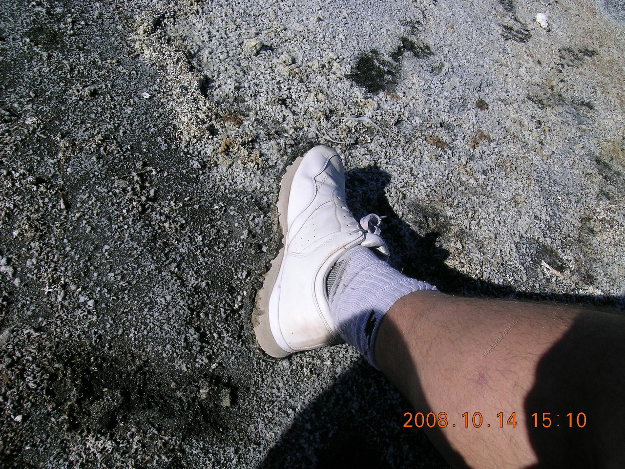
After a few steps, you would start getting a 2 inch thick layer of salt / mud on the bottom of your shoes

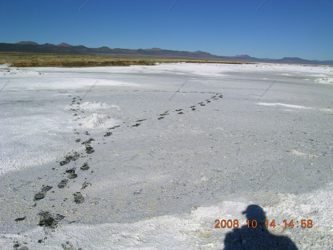
This photo is filled with alkali flies.. Yes... thousands of them. As you walk, they would swarm and were very loud. But they had no interest in people so they would bound off of your legs but would not land.
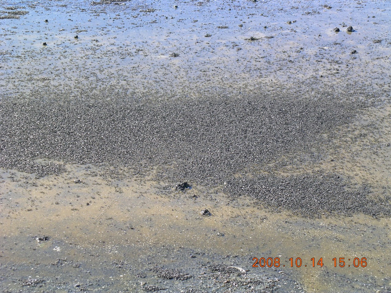
Alkali flies.. They would dig small pits and sit in them to lay eggs or feed on algae.

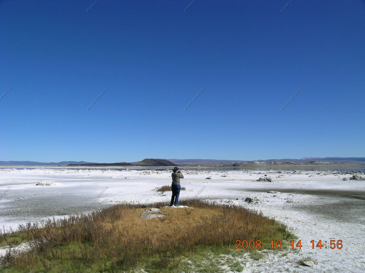
Mary looking at birds...avocet, ruddy ducks, phalarope, shorebirds...
Cleaning the mud off our shoes with the cinders !
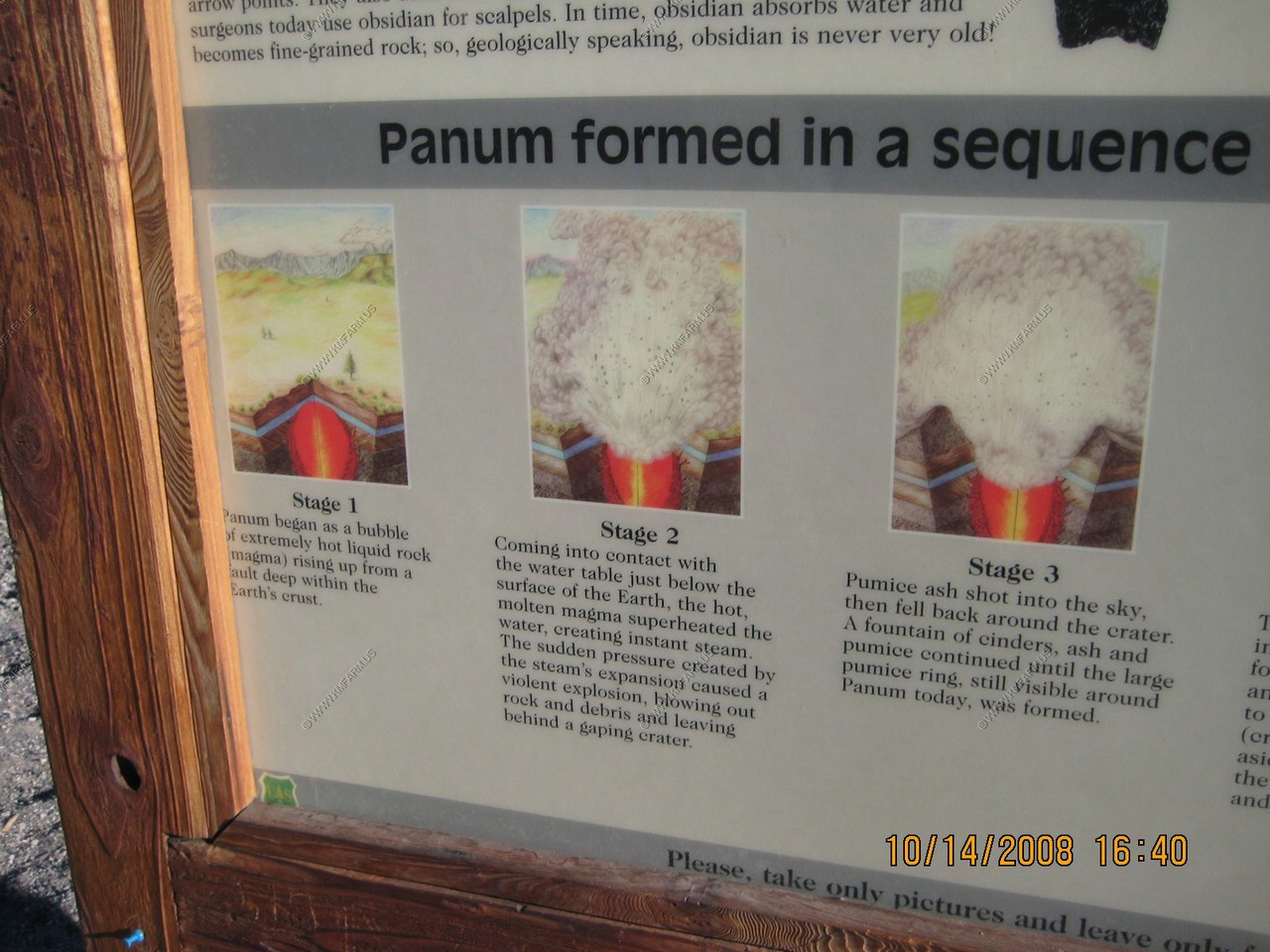
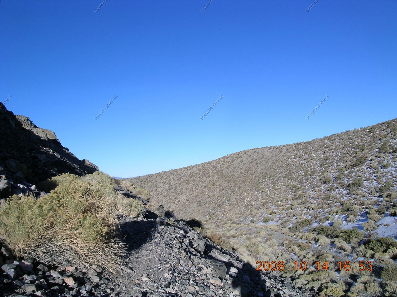
Panum Crater, A perfect example of a Rhyolitic Plug-Dome Volcano
The Mono Craters of Mono Lake formed the youngest mountain range in North America !
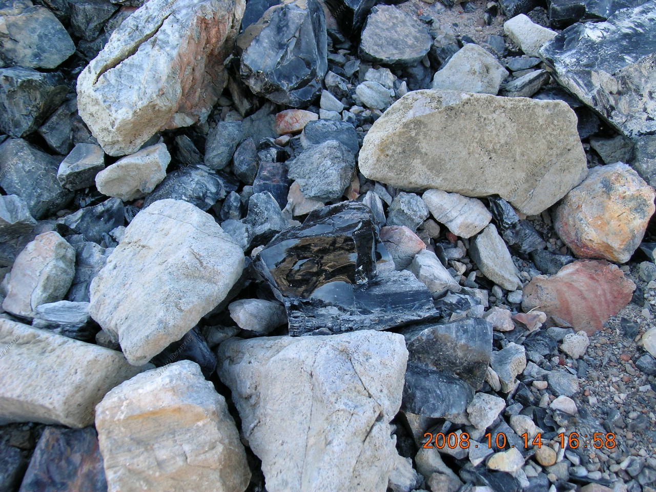
Rhyolitic volcanic eruptions started here about 40,000 years ago. The most recent created Panum crater only 650 years ago. Panum's eruptions produced lava with high concentrations of silica (quartz - about 76%), making it very viscous (thick) and glassy. The lava cooled into several different rock forms:
Pumice, the gray bits of rock under your feet, formed by explosive eruptions of frothy, molten glass that solidified instantly, trapping air bubbles. If you inspect the Pumice closely, you will see glassy walls of once surrounded air bubbles. Notice that the Pumice is very light in weight. It even floats on water. Pumice is very abrasive can be used for cleaning and scouring.
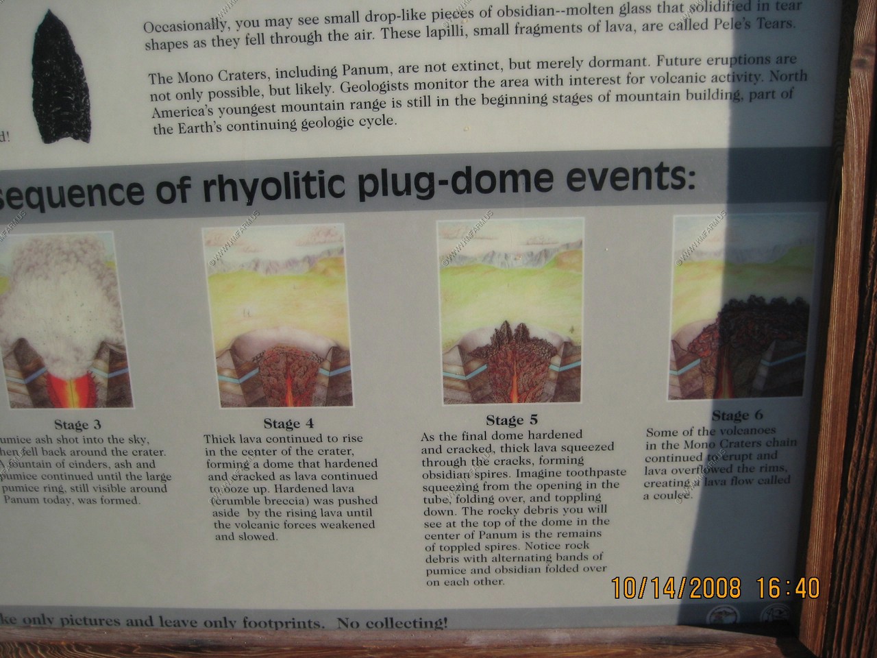
Obsidian, a black shiny rock you will see on your hike, is chemically identical to pumice but erupted slowly, losing trapped air. It cooled too quickly to form a crystalline structure, but formed glassy rock that has extremely sharp edges when broken. Native Americans used hunting tools with obsidian spear and arrow points. They also used obsidian blades, drills, and scrapers. Some surgeons today use obsidian for scalpels. In time, obsidian absorbs water and becomes fine-grained rock; so, geologically speaking, obsidian is never very old.
Look for light rocks with cracks on their surfaces. Breadcrust bombs formed as chunks of molten lava were thrown into the air. The outside surface cooled rapidly but the gases inside continued expanding, cracking the surface, creating a texture similar to the crust of a loaf of French bread.
Occasionally, you may see small drop-like pieces of obsidian - molten glass that solidified into tear shapes as they fell through the air. These lapilli, small fragments of lava, are called Pele's Tears.
The Mono craters, including Panum are not extinct, but merely dormant. Future eruptions are not only possible, but likely. Geologist monitor the area with interest for volcanic activity. North America's youngest mountain range is still in the beginning stages of mountain building.
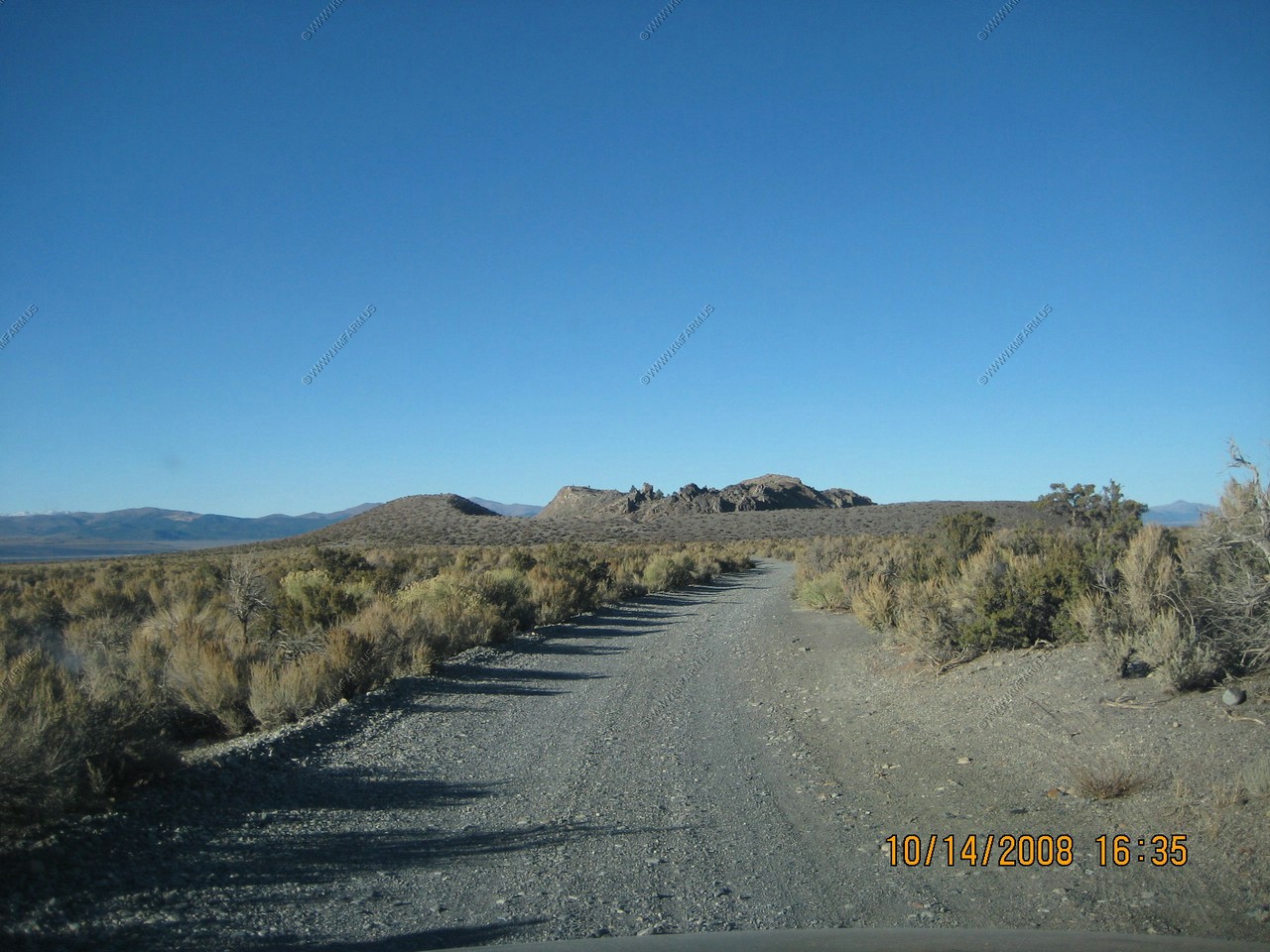
The road to Panum off of CA-120 was well maintained
How all this formed
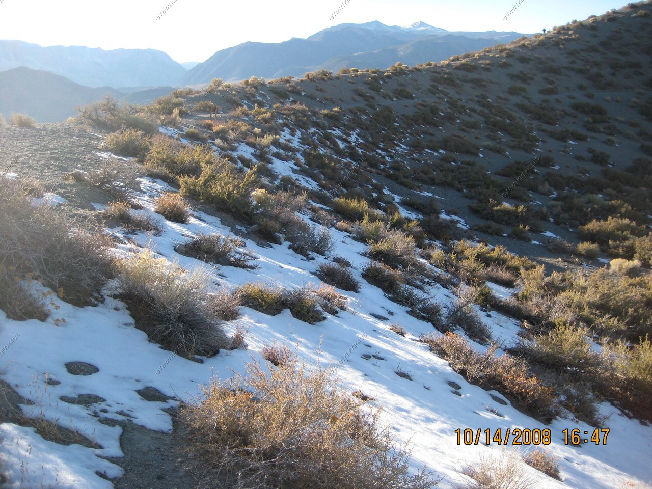
More snow
Inside the crater
Lots of very light rocks (pumice) ! And heavy obsidian
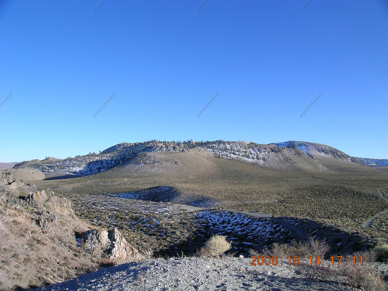
Looking south at Mono Craters
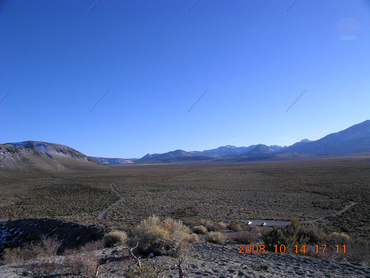
Looking from the south, west then north at the lake
Looking South at June Mountain Ski Area
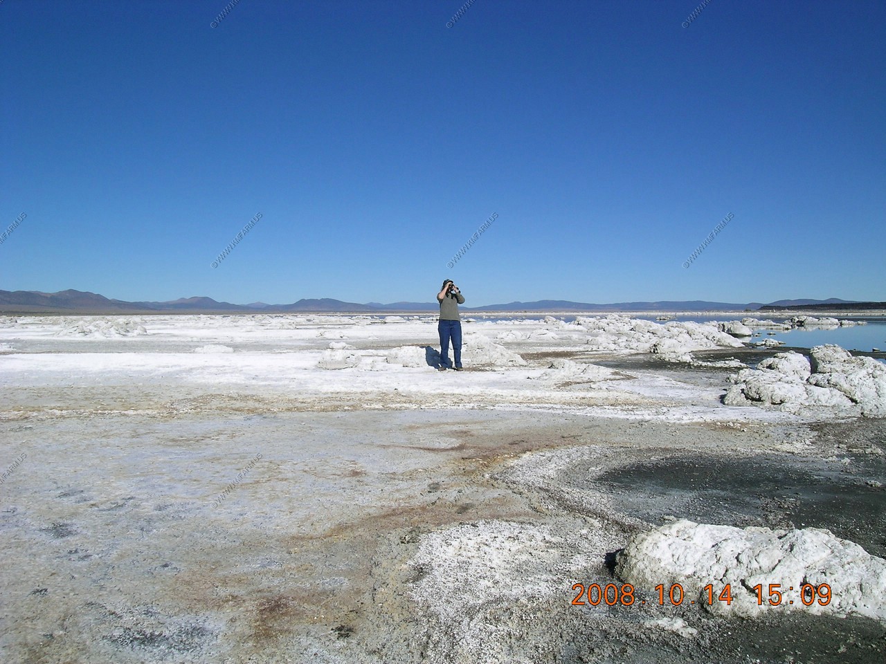
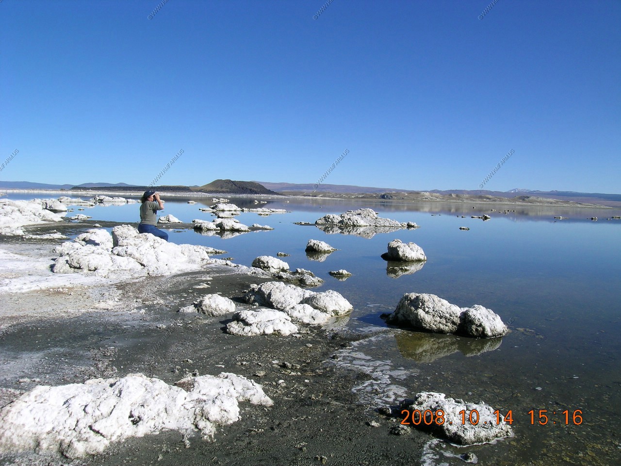
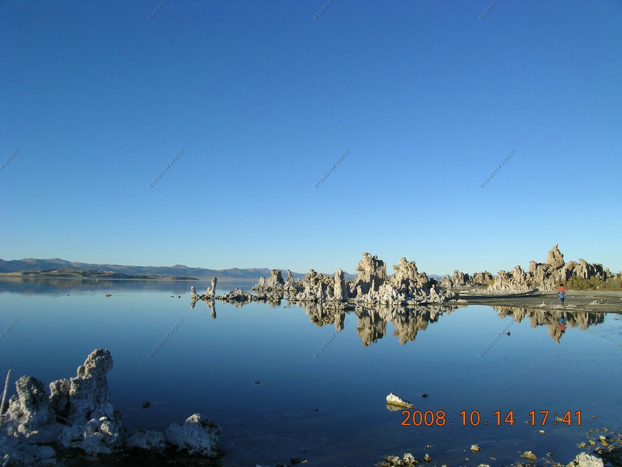
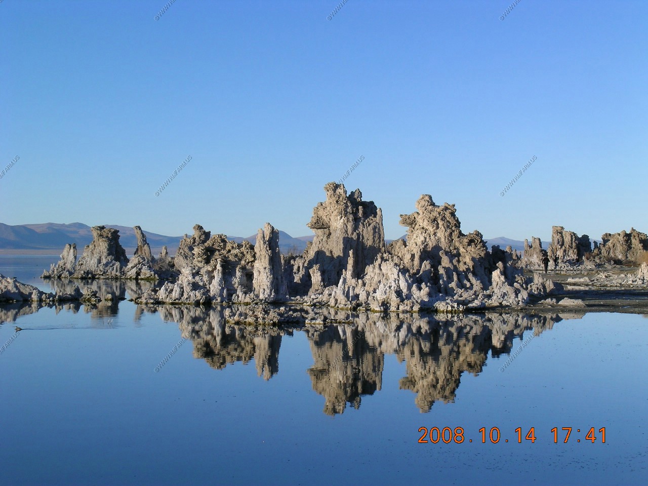
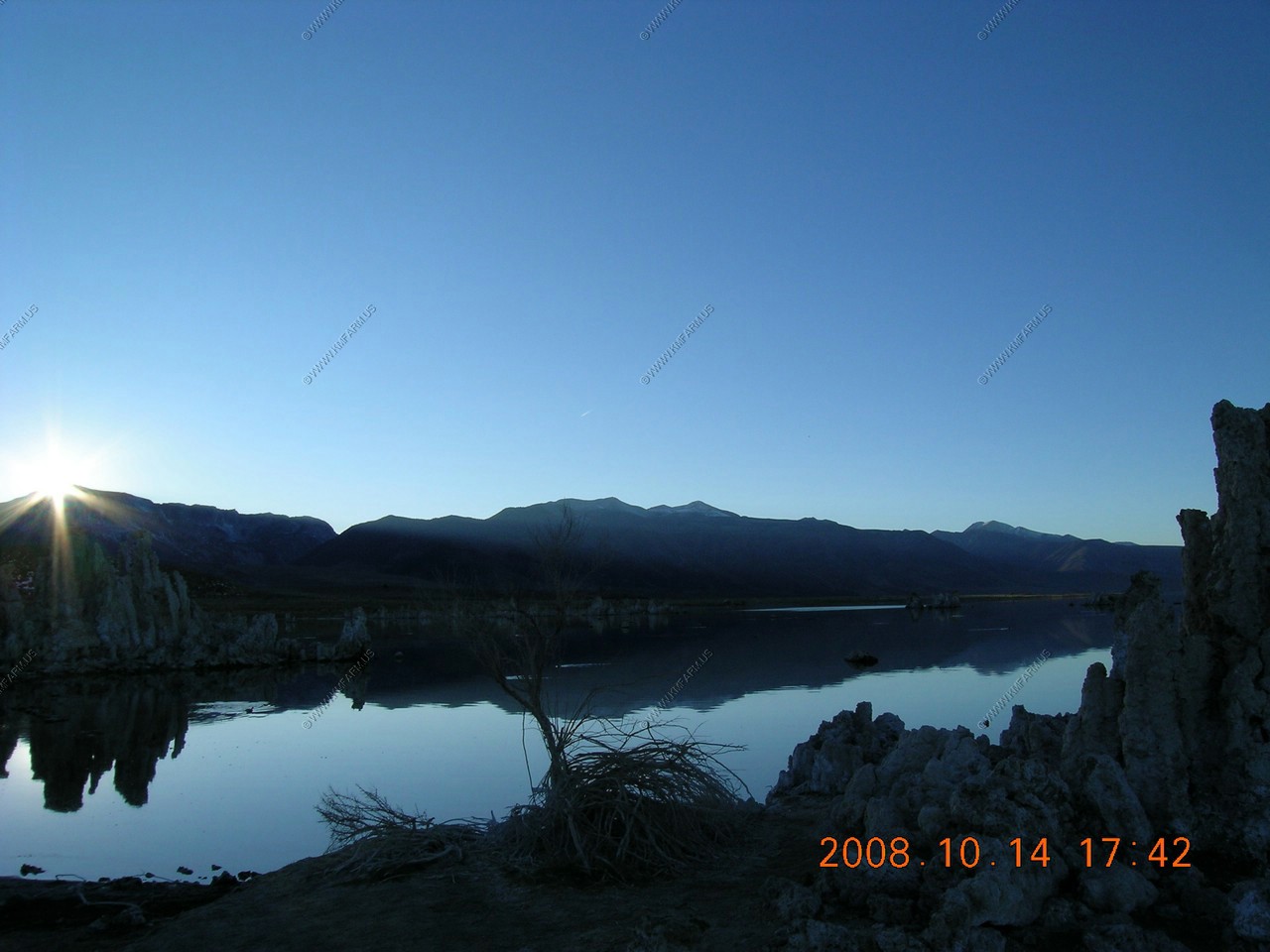
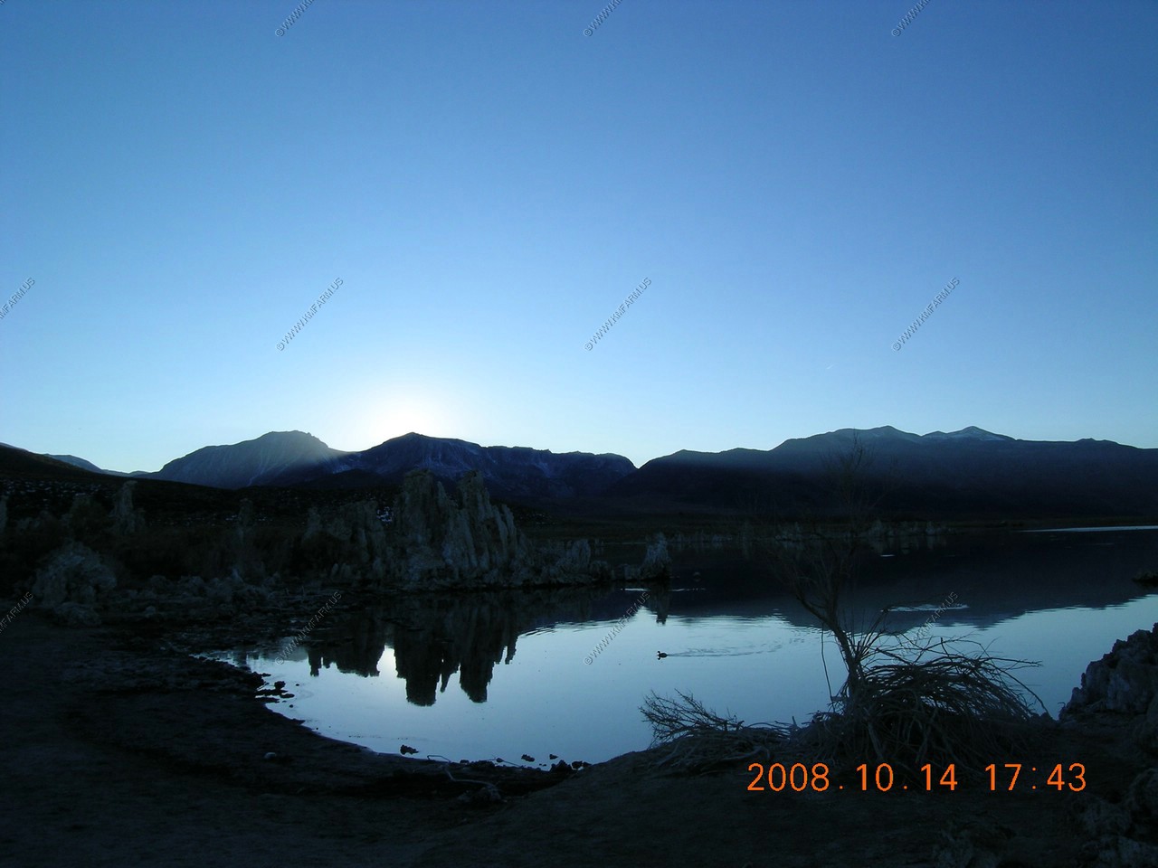
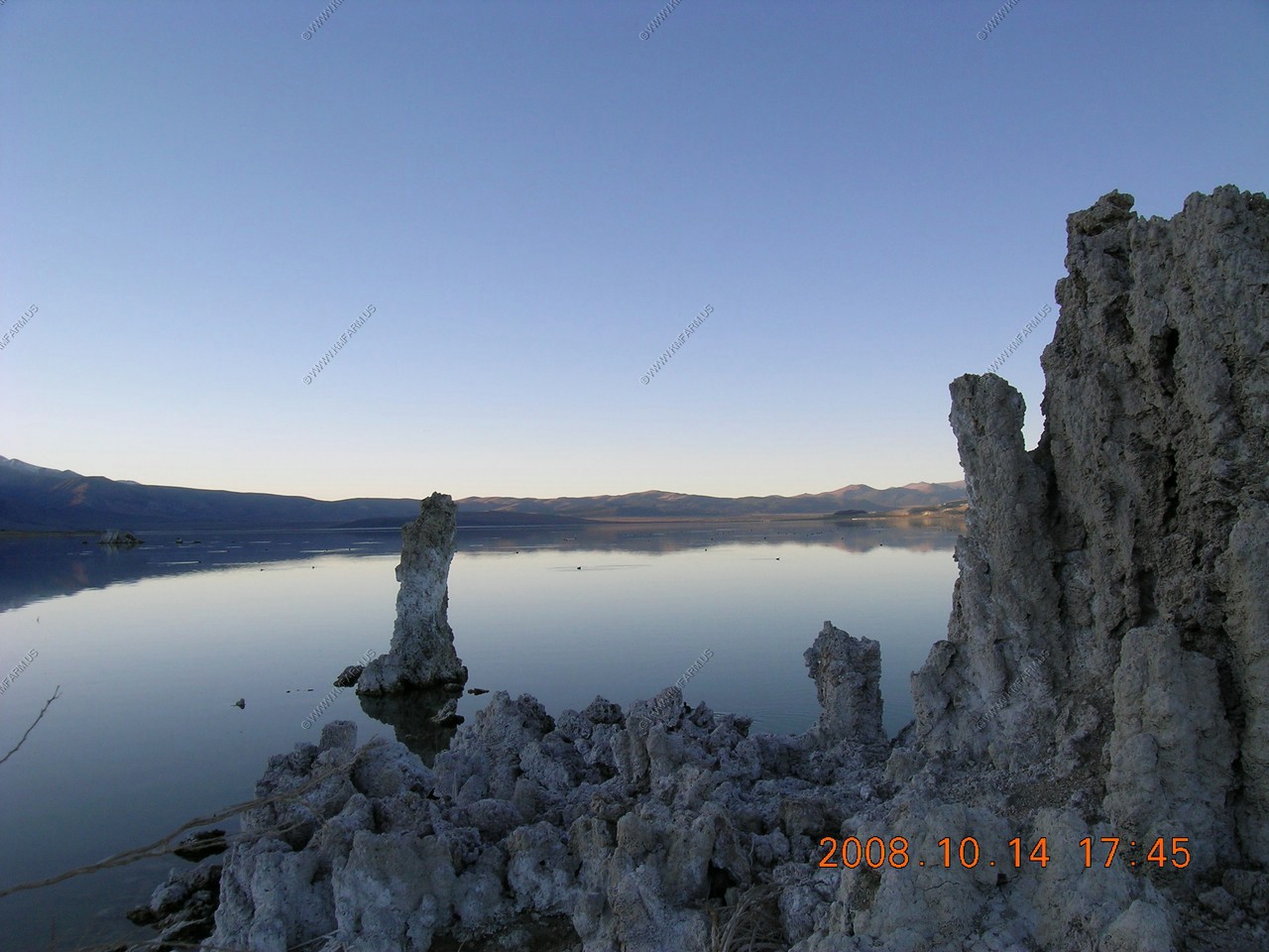
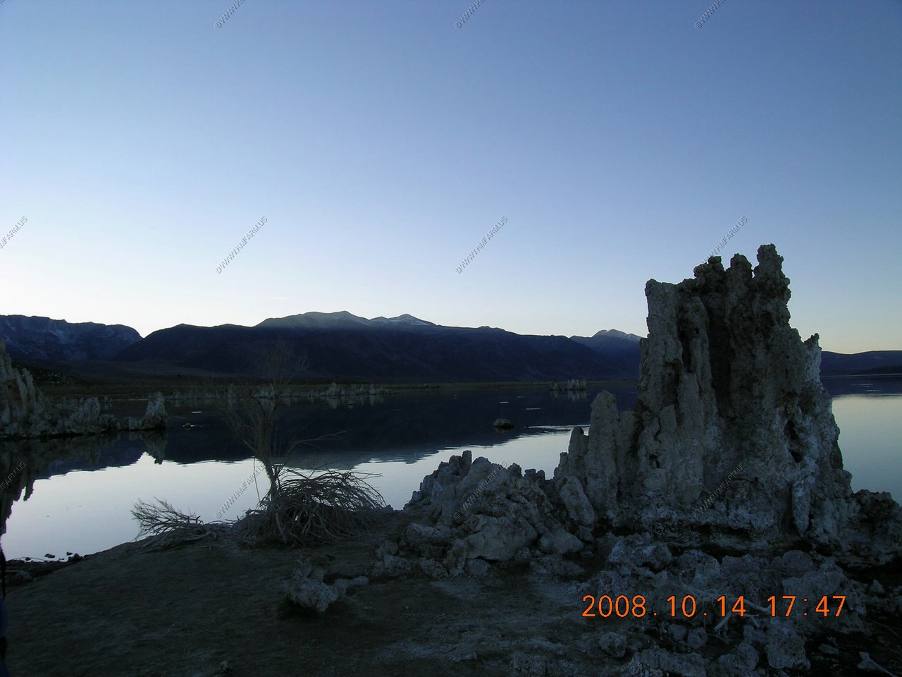
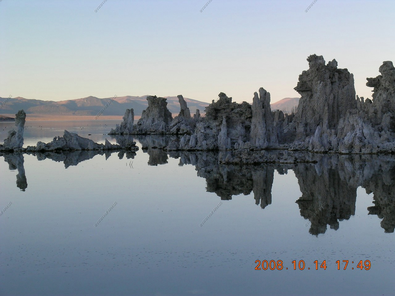
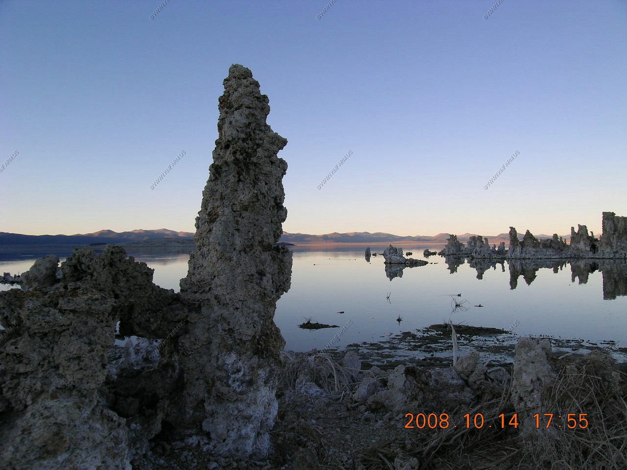
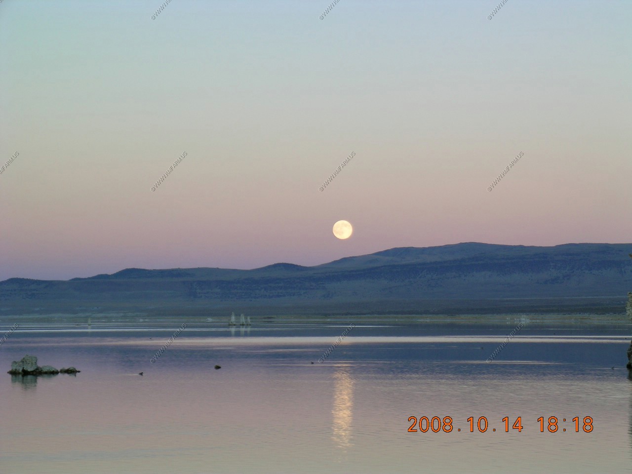
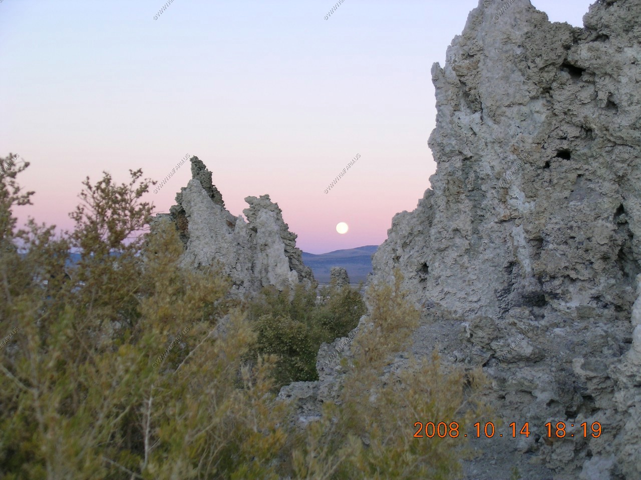
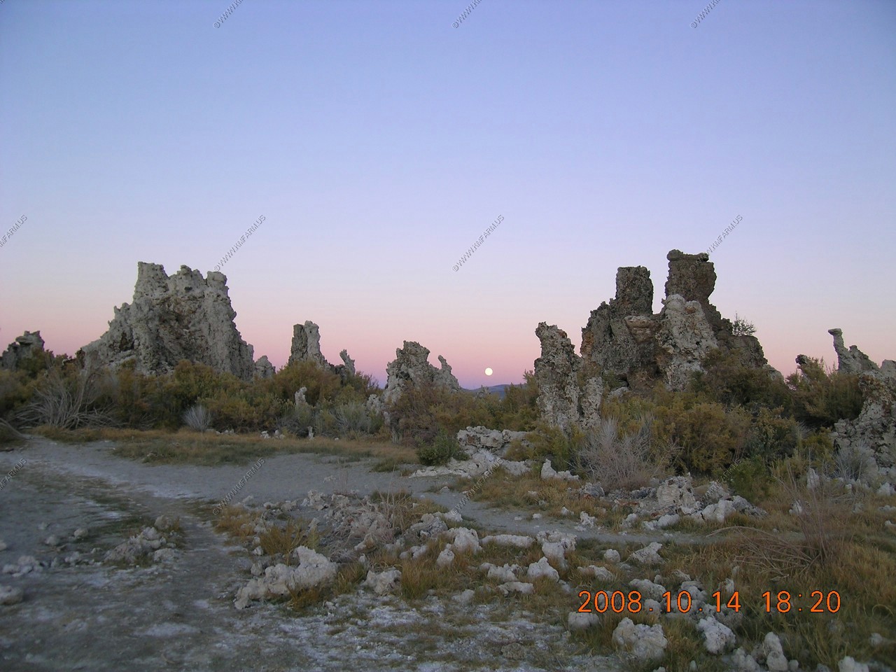
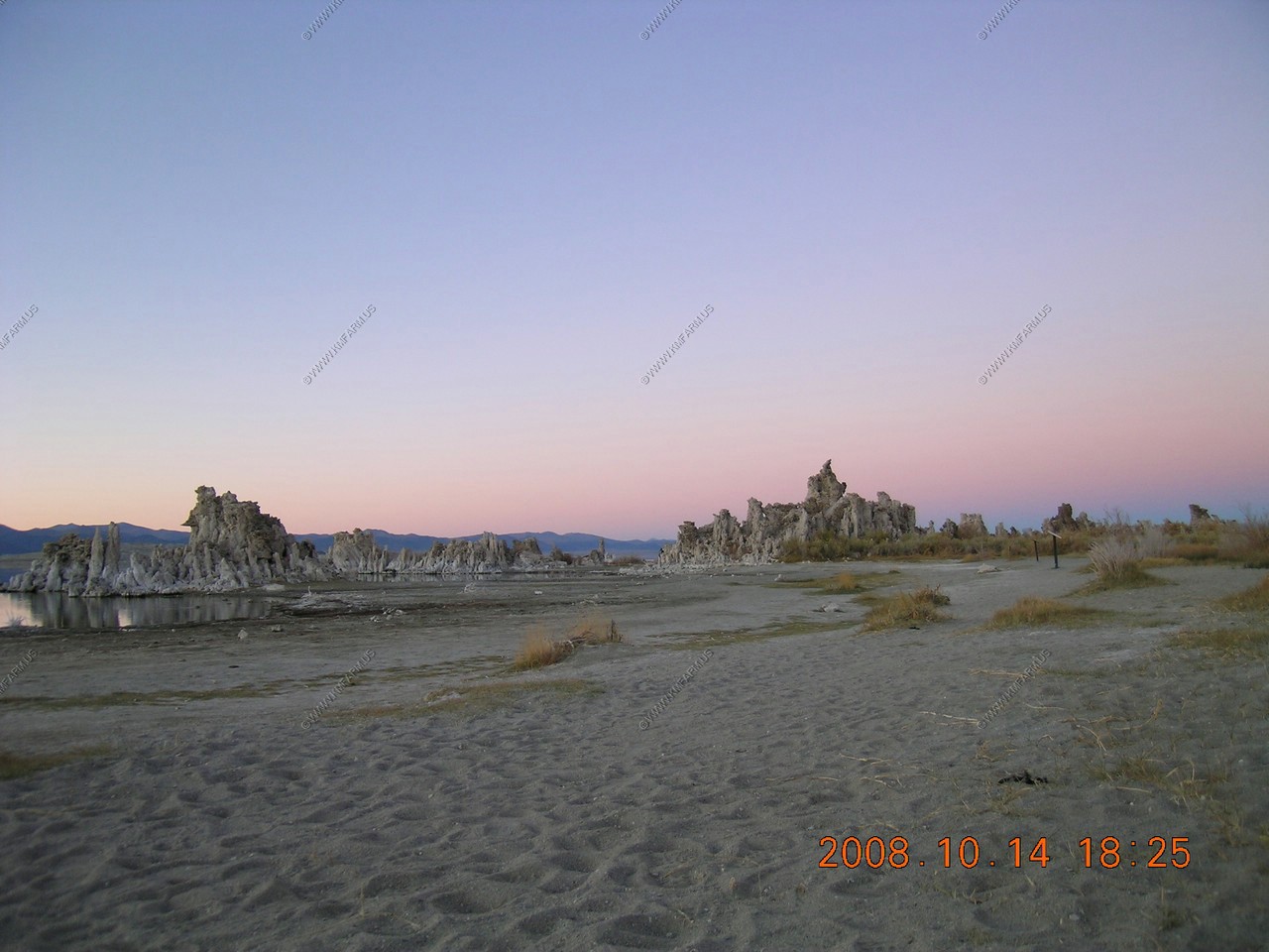
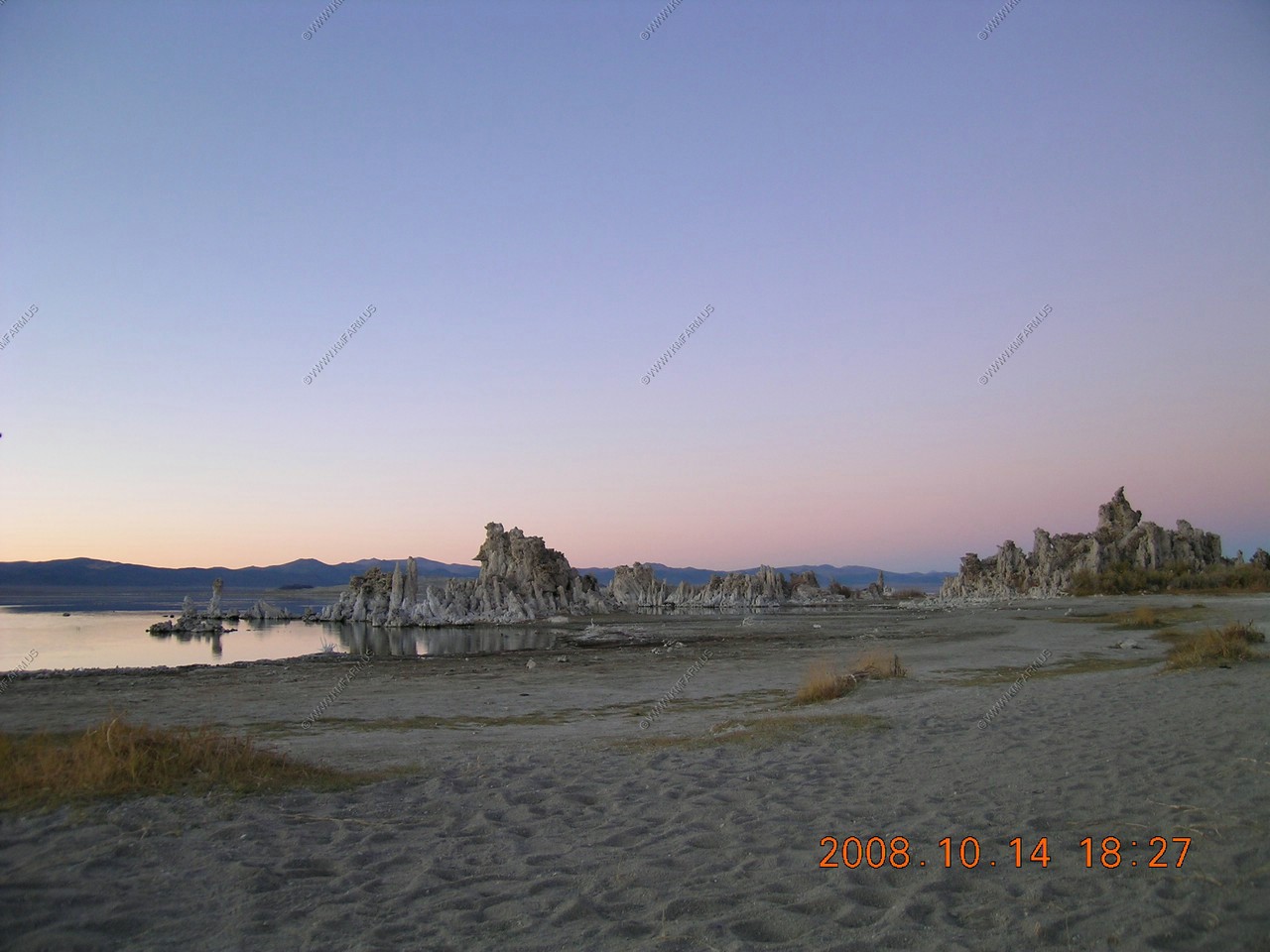
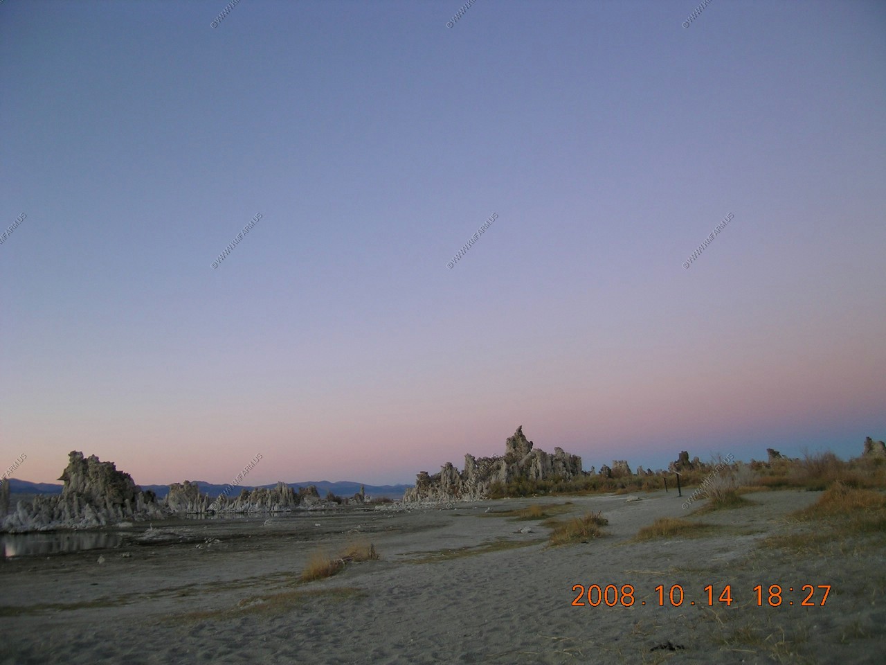
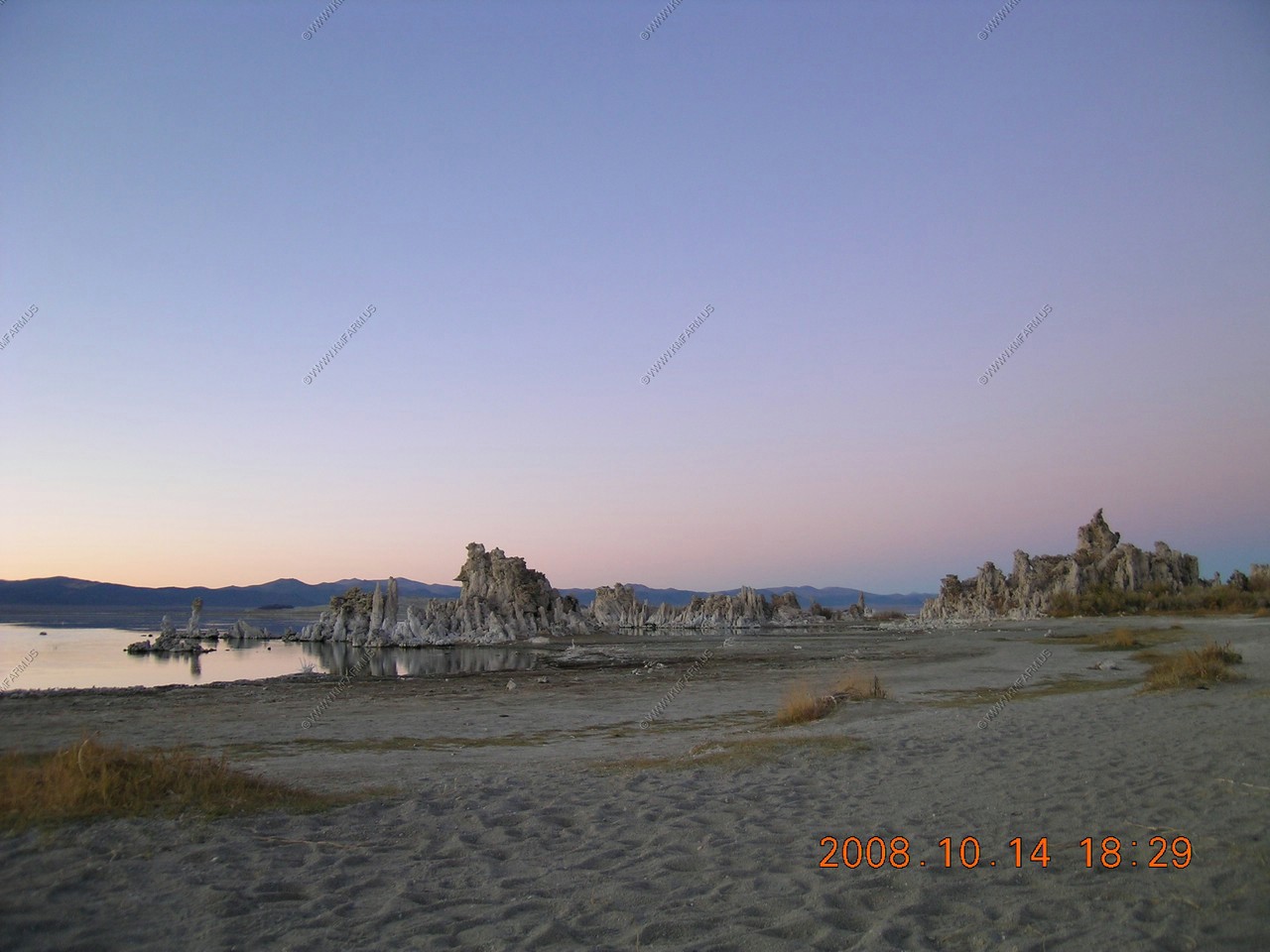
Back to the South Tufa Area, Mono Lake
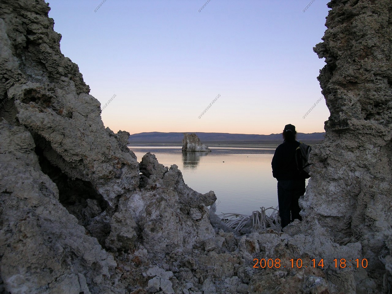
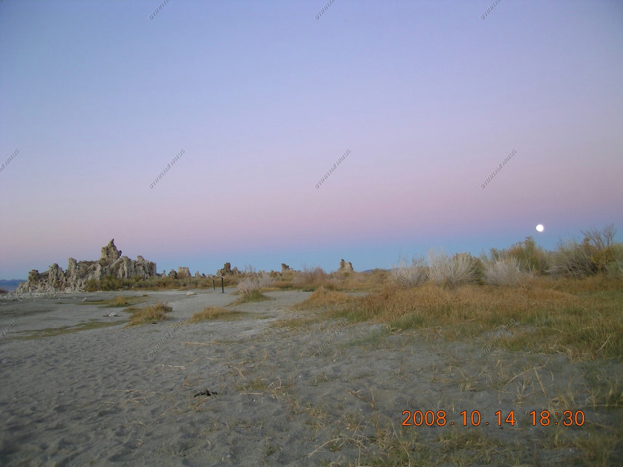
We wanted to see the sunset at the Tufa's and watch the moon rise again. Tonight was warmer too.
Goodbye sun
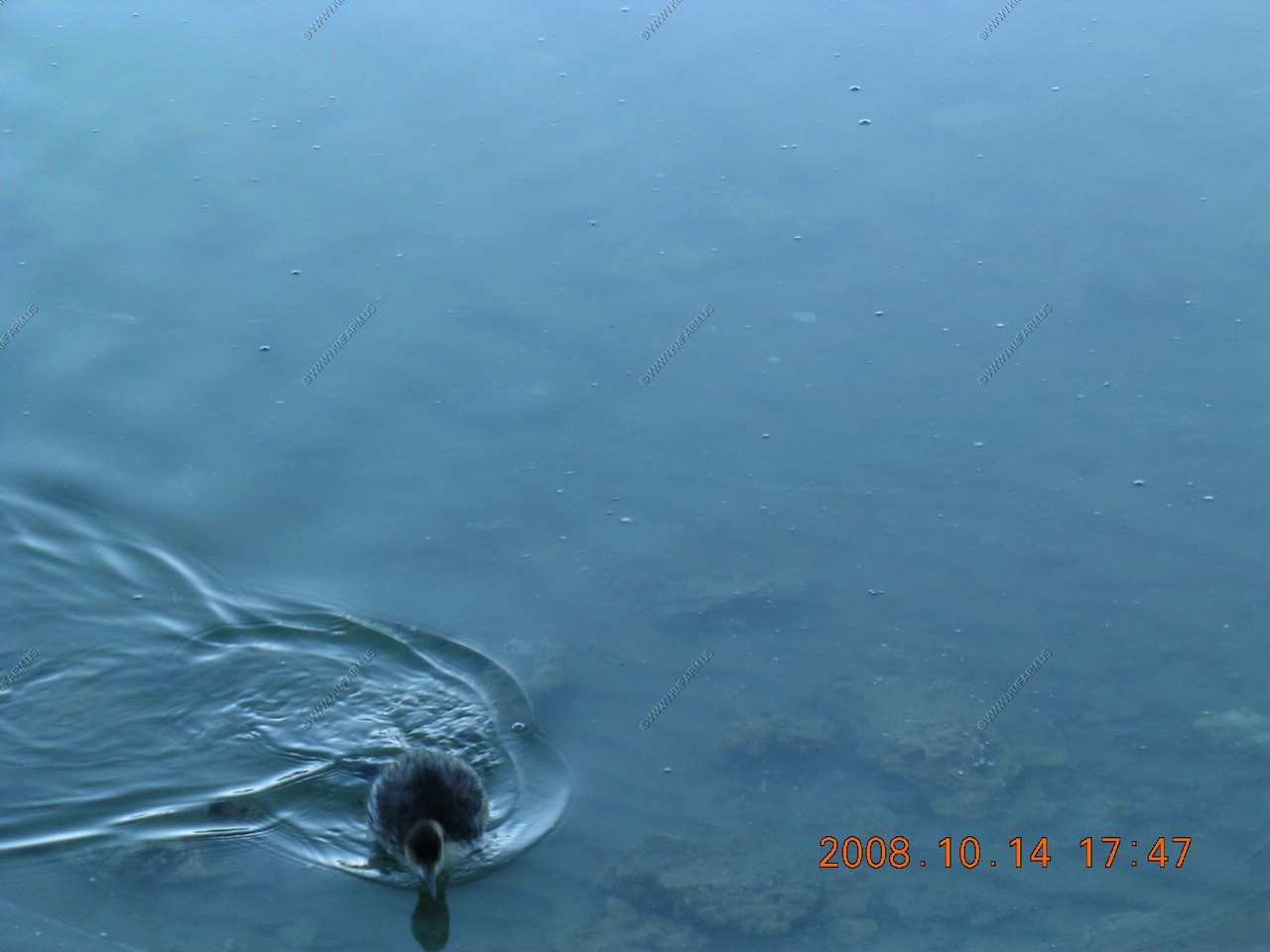
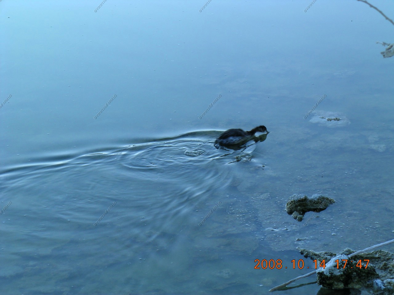
Eared grebes came within 4 feet of you
Calm tufa's


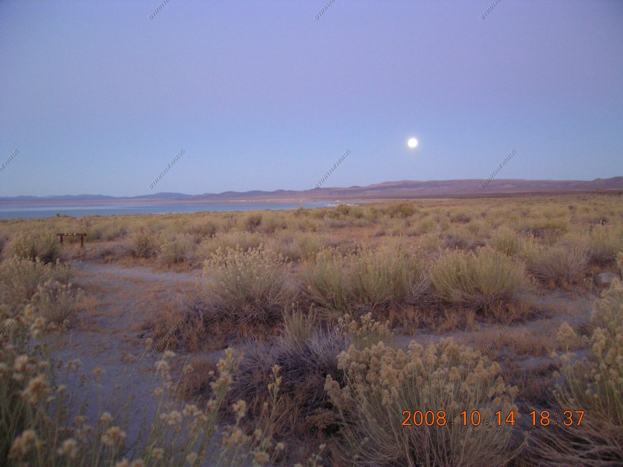
Mary looking for the moon
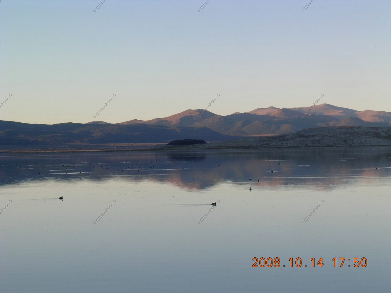
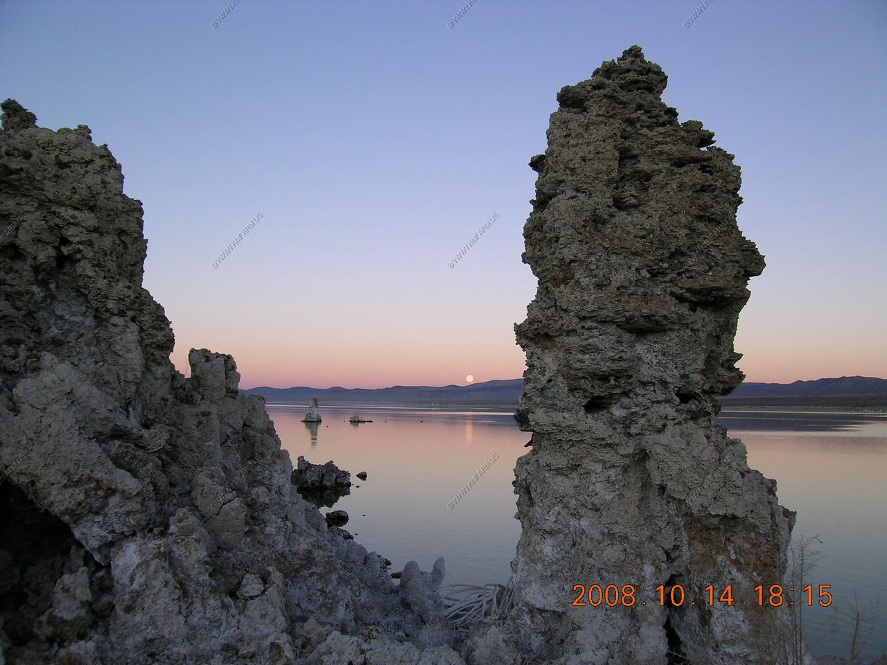
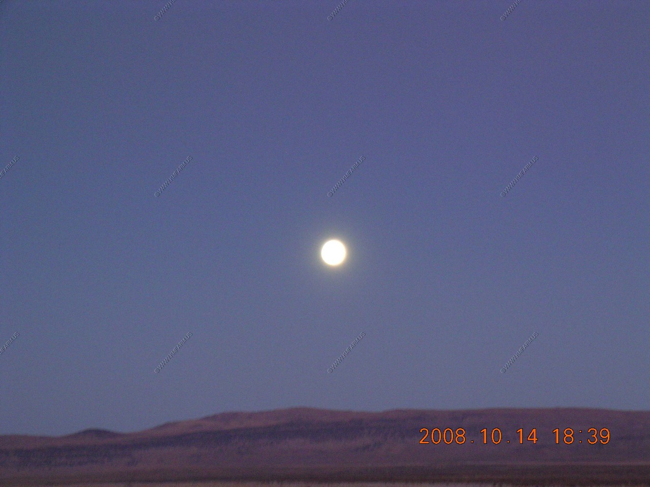
The moon, ruddy ducks and various views


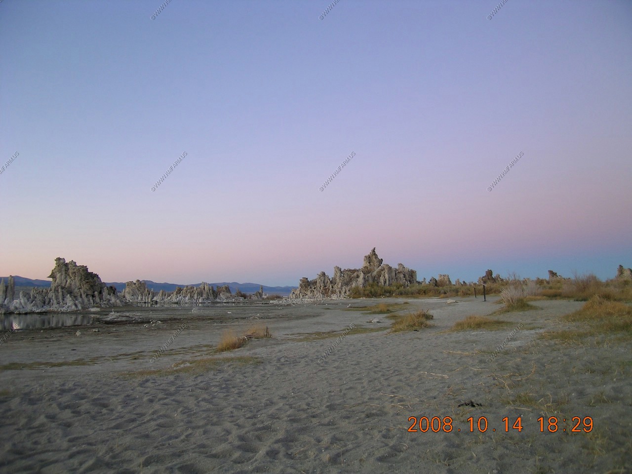
Back up by the parking lot
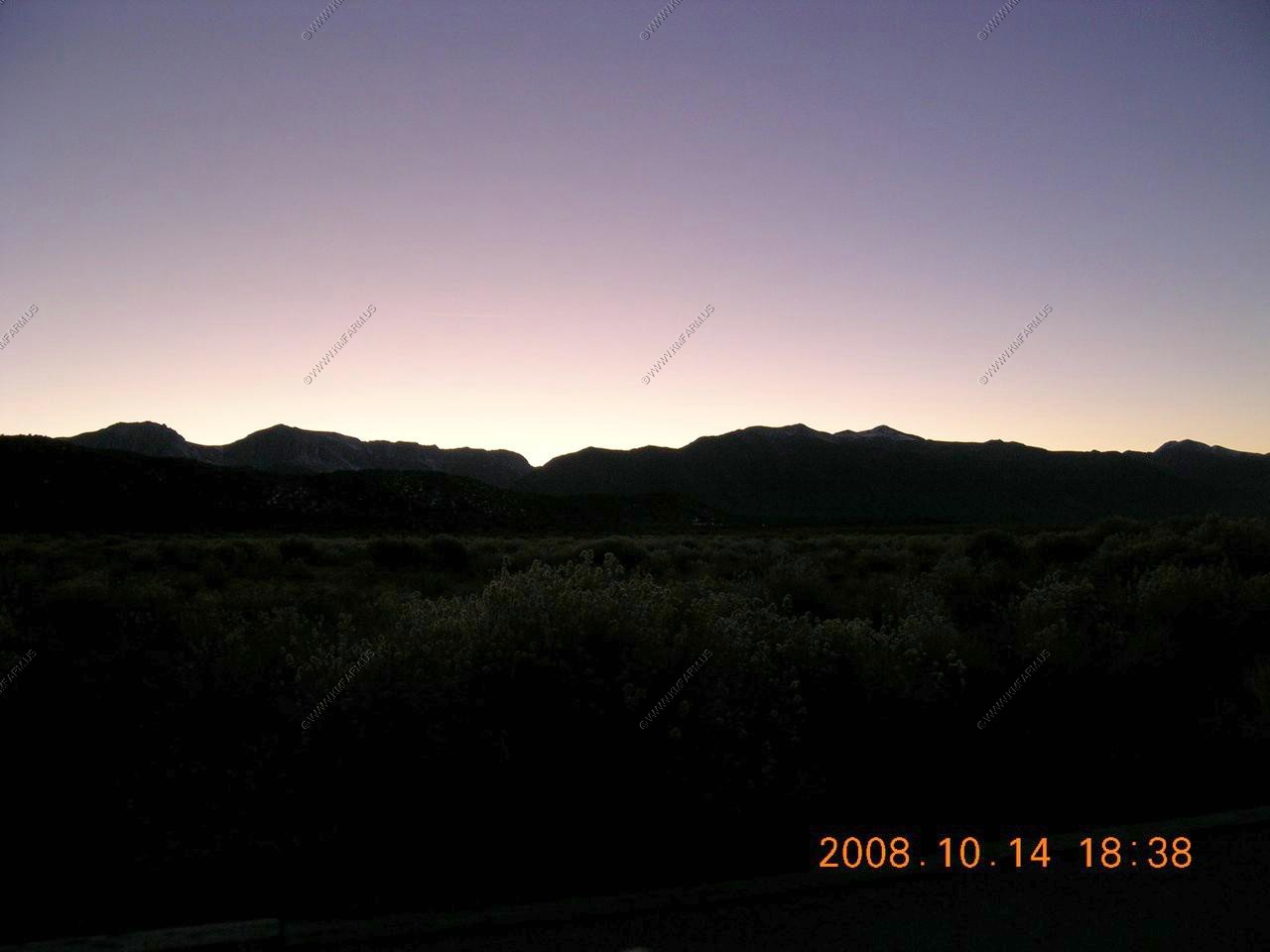
Sunset over the Sierra's