Last Updated: 21-AUG-2018
Day 10, Earthquake Fault, Devils Postpile National Monument, Hot Creek
A big drive day. 263 miles. Again, the miles go quick with much to see. We went through Reno, which is like a little Las Vegas. Too much development.
Carson City was a shocker. Very nice and still had the small town feel. We stopped at Carls Jr in Carson City for lunch, which is Ken's favorite fast food.
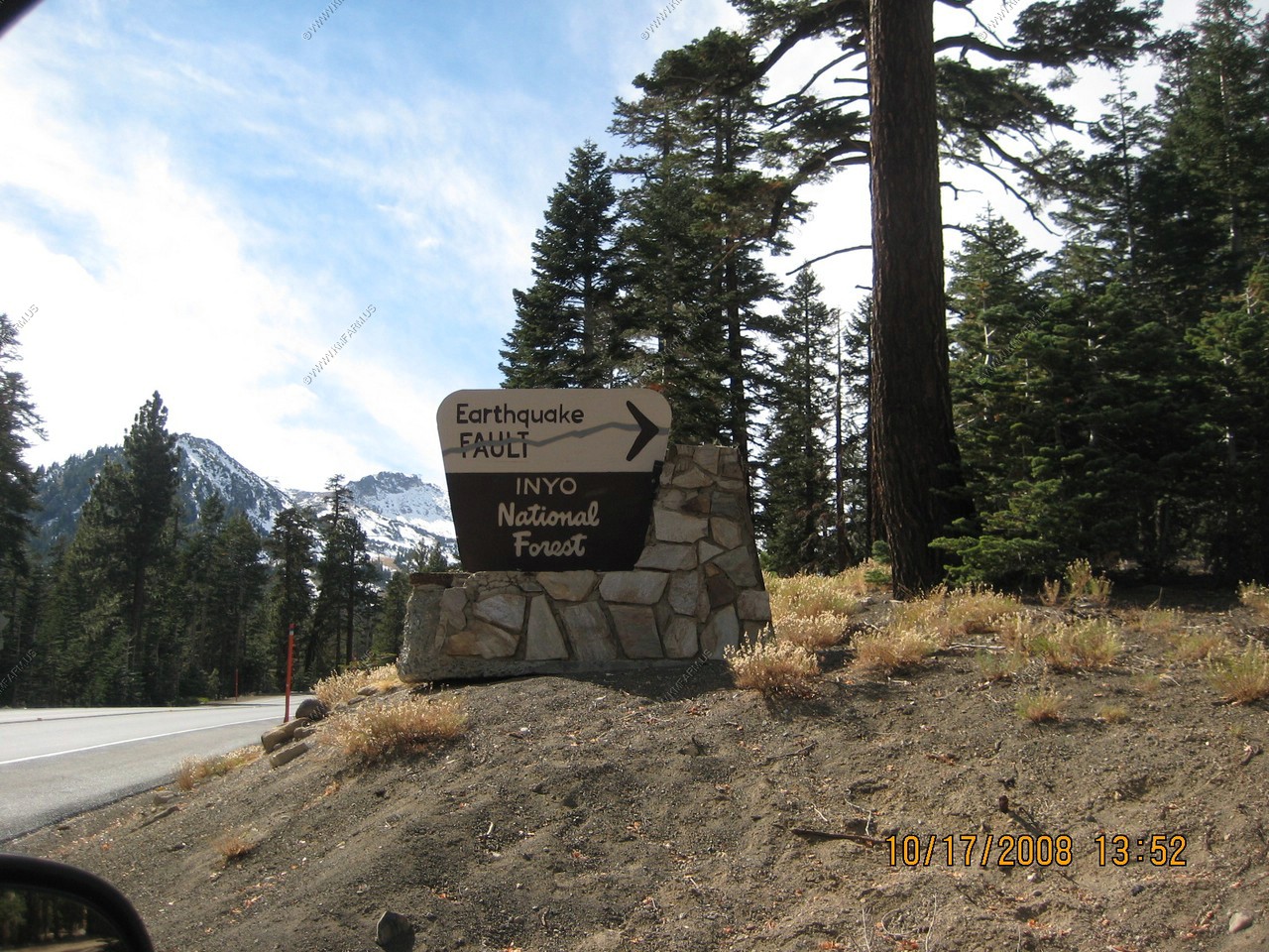
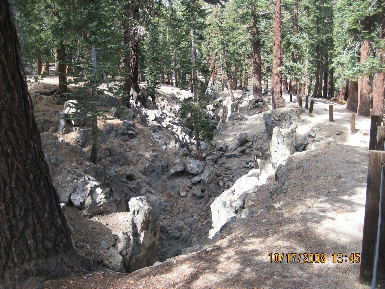
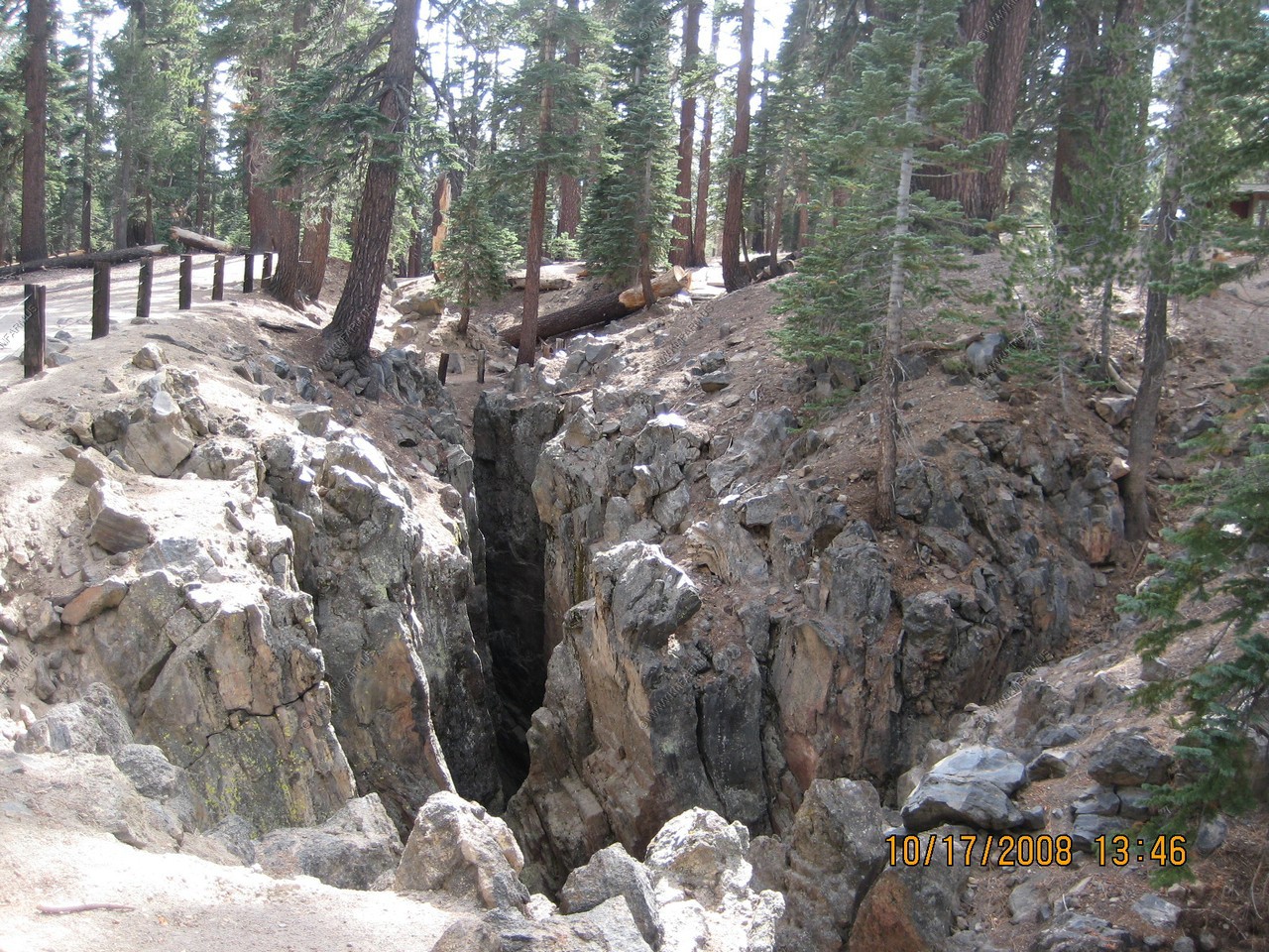
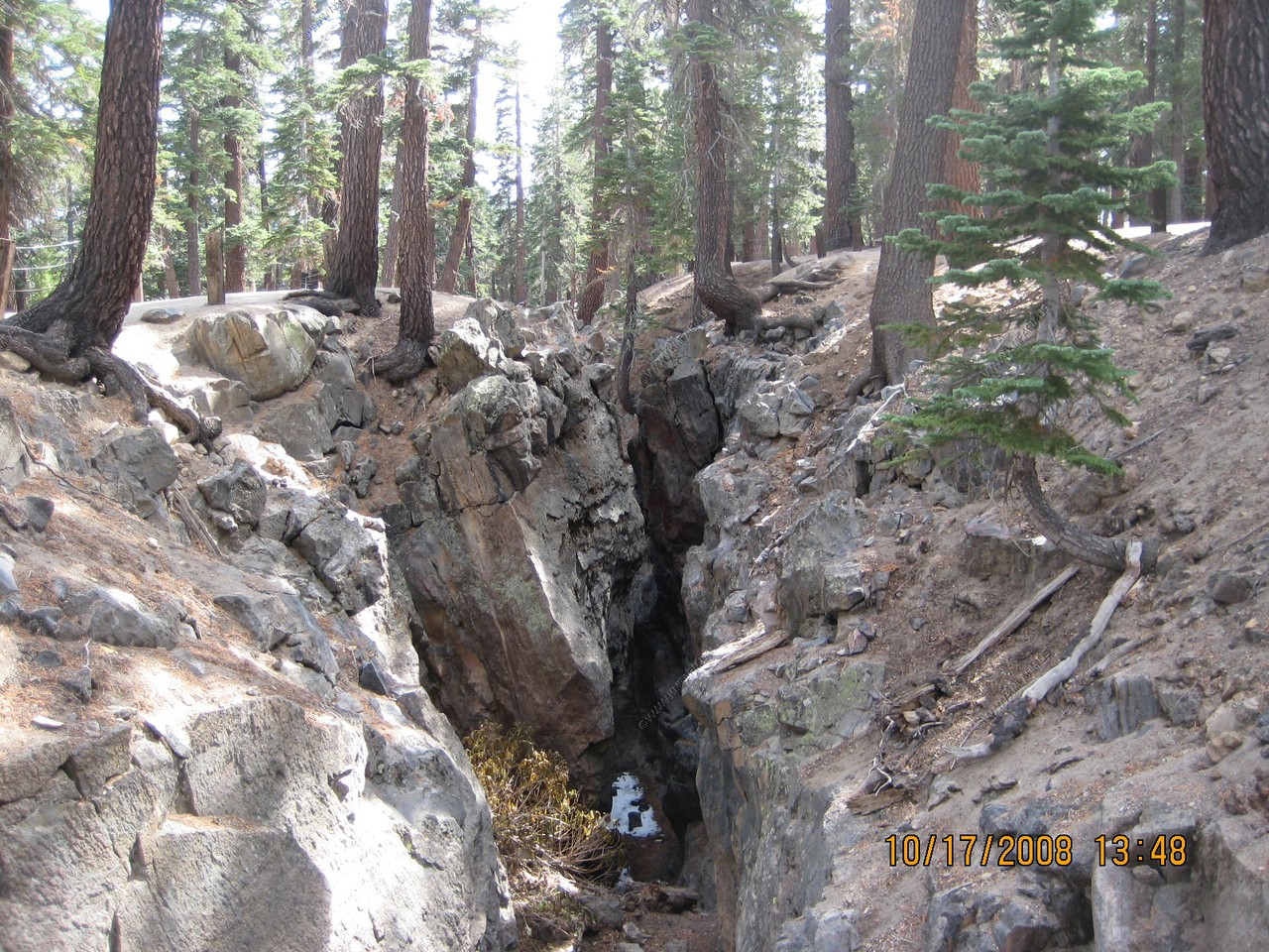
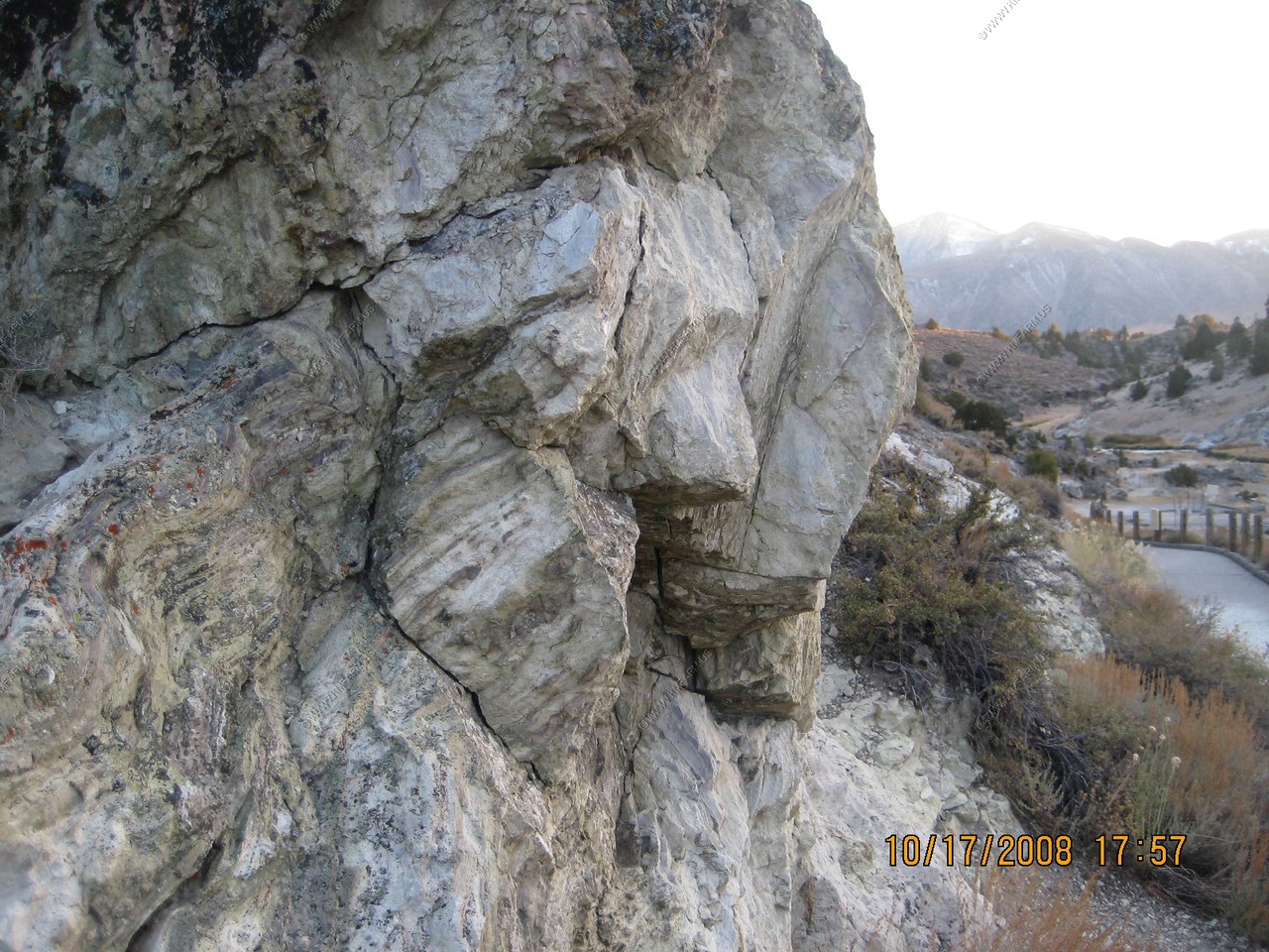
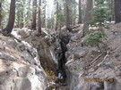
Mammoth Lakes, California, is home to a long earthquake fault that has its origins in its history of volcanic activity. Many visitors are
keen to go on the many ranger tours of the fault and are quick to become dumbfounded when they discover the underlying and current truths
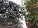
beneath their feet. In fact, there are four must see stops along the fault, all of which have very different tales to tell. We saw the
main fault as accessed via Earthquake Fault Road, the main route to the local ski resort. Though its origins are in question, it is a big
gaping crack in the rock, dropping down deeply into the ground. In fact, as recently as 1980, the trail leading into it was closed due
to a large quake that struck the area and the discovery of the movement in places (up to three feet). There were several small earthquakes
on the day we were there, but this is common.
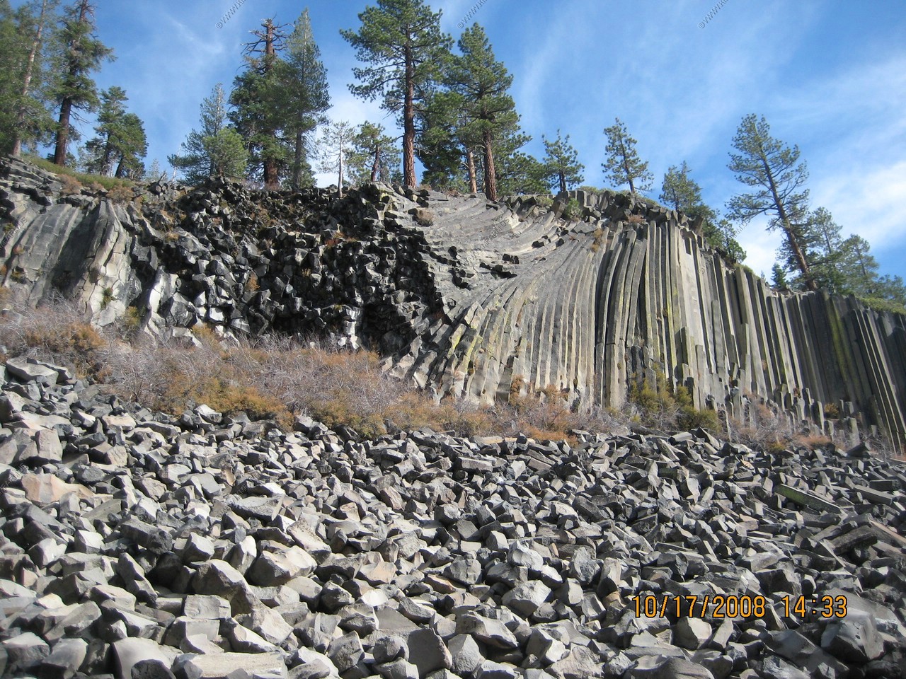
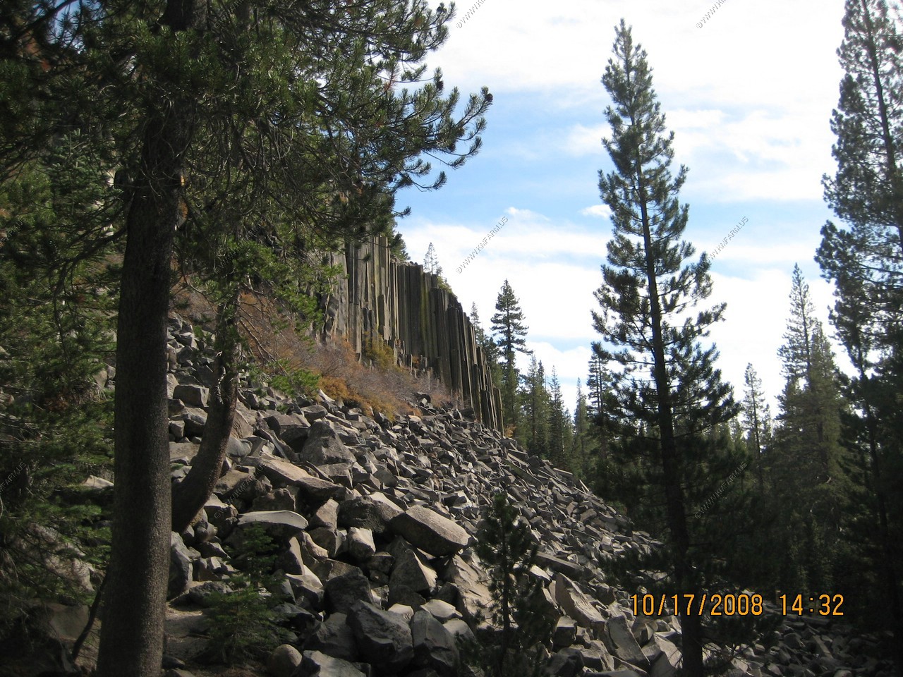
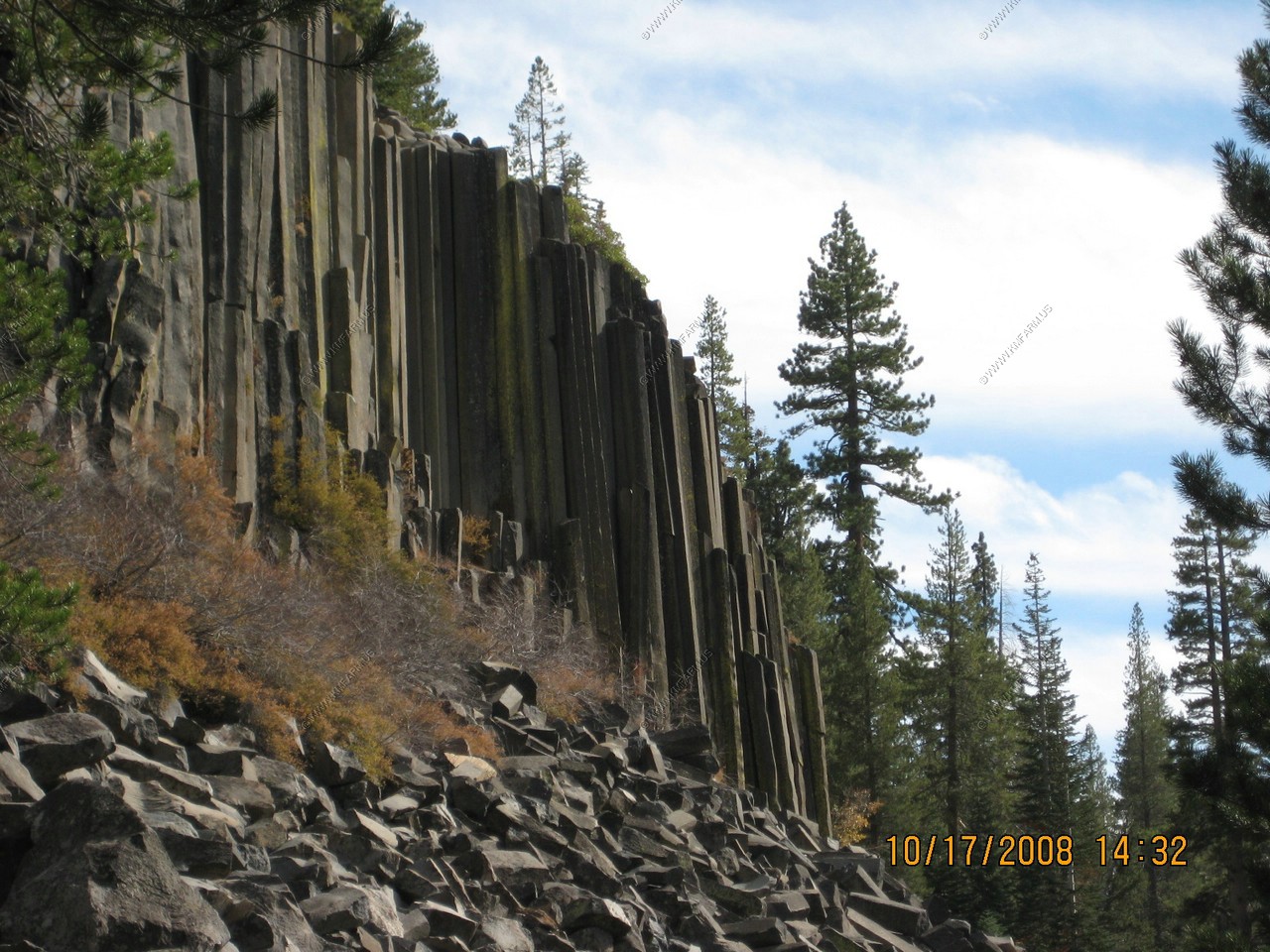
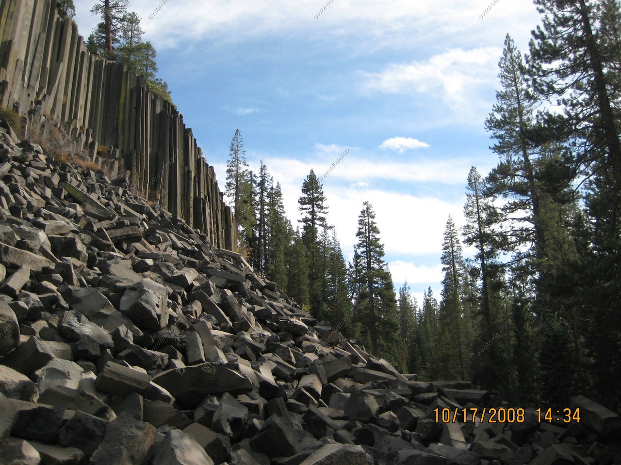
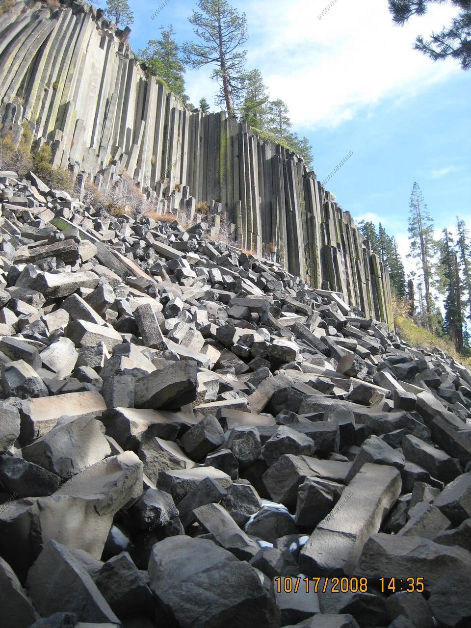
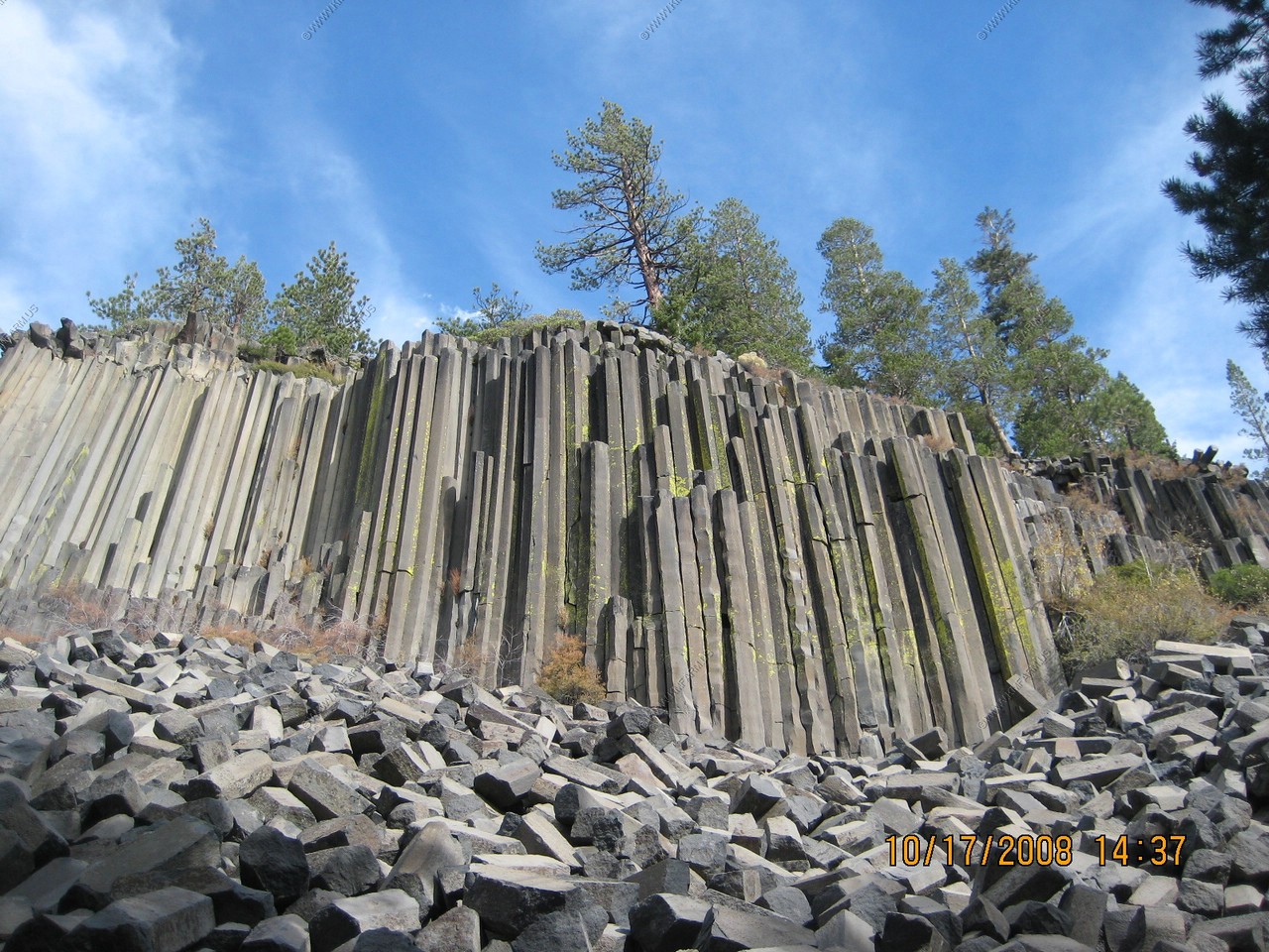
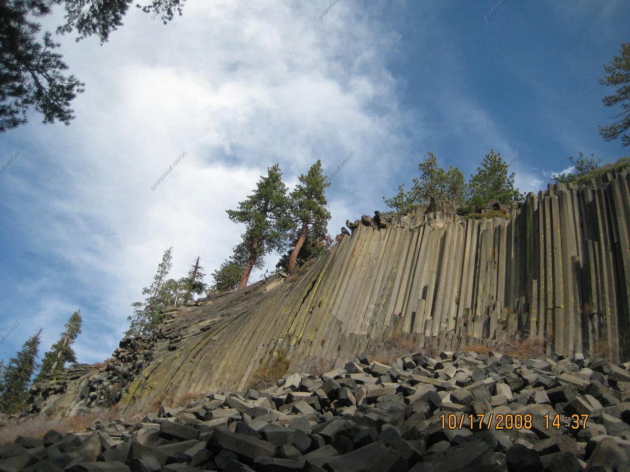
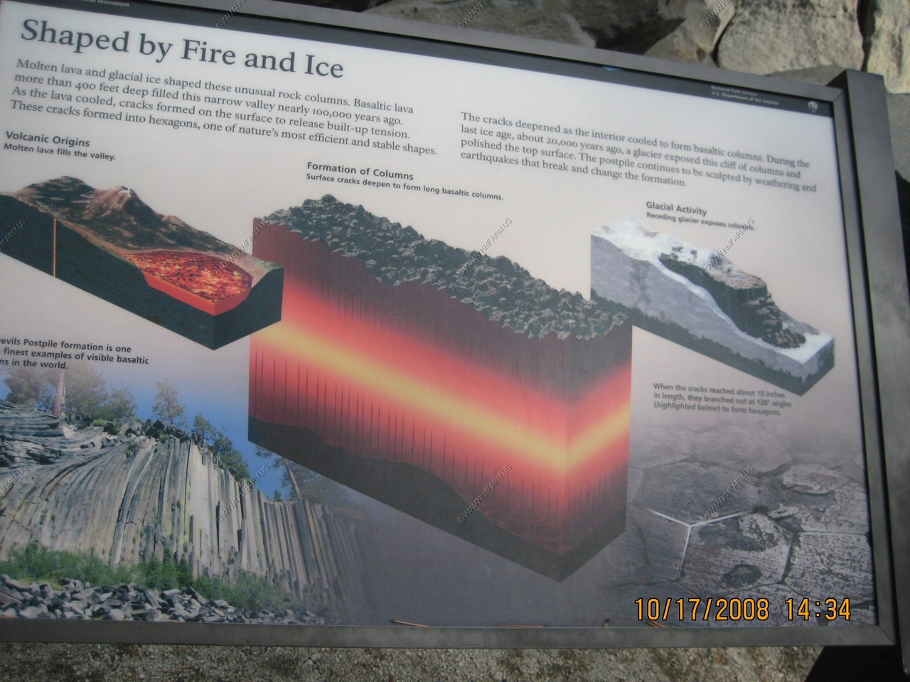
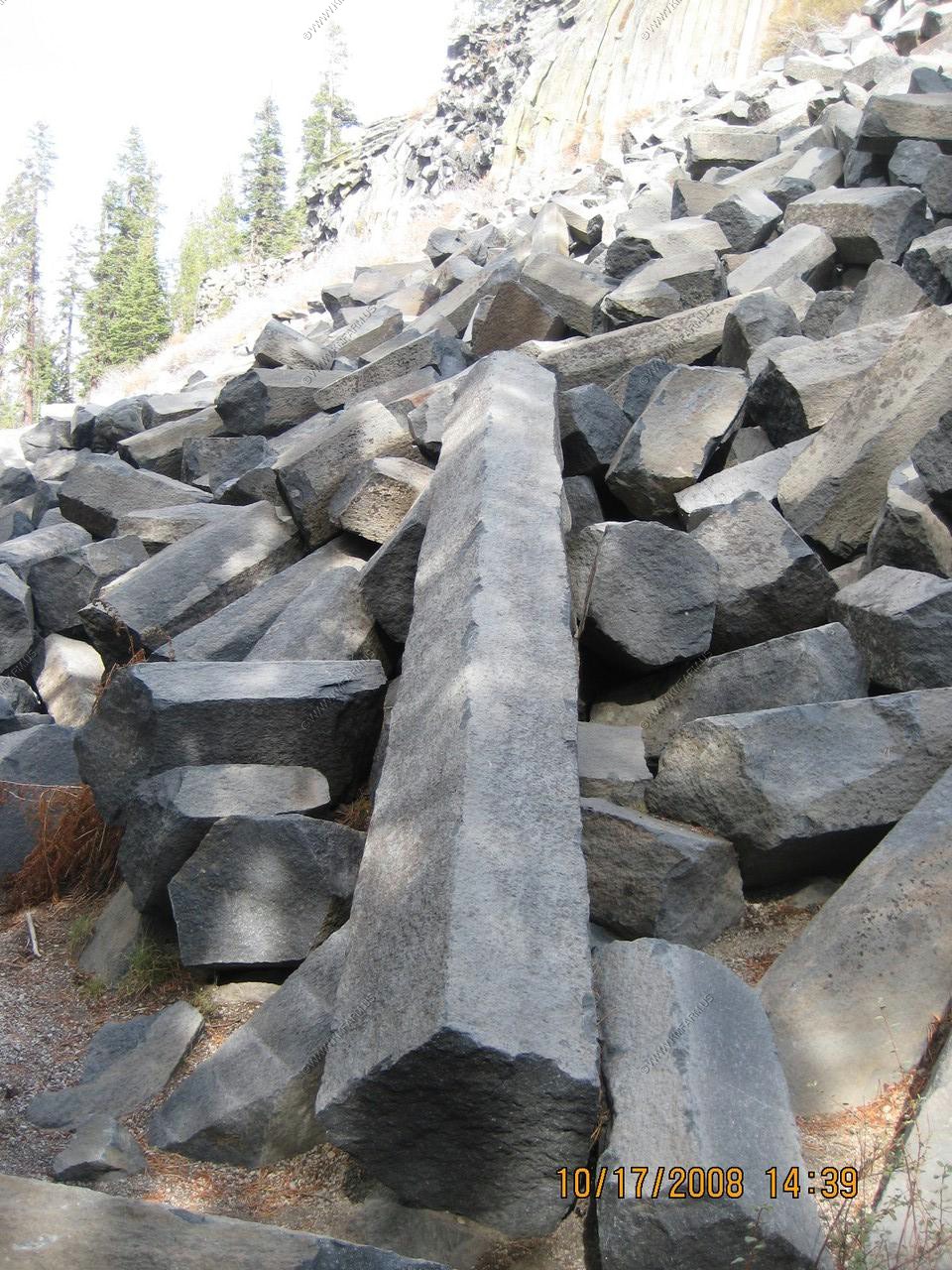
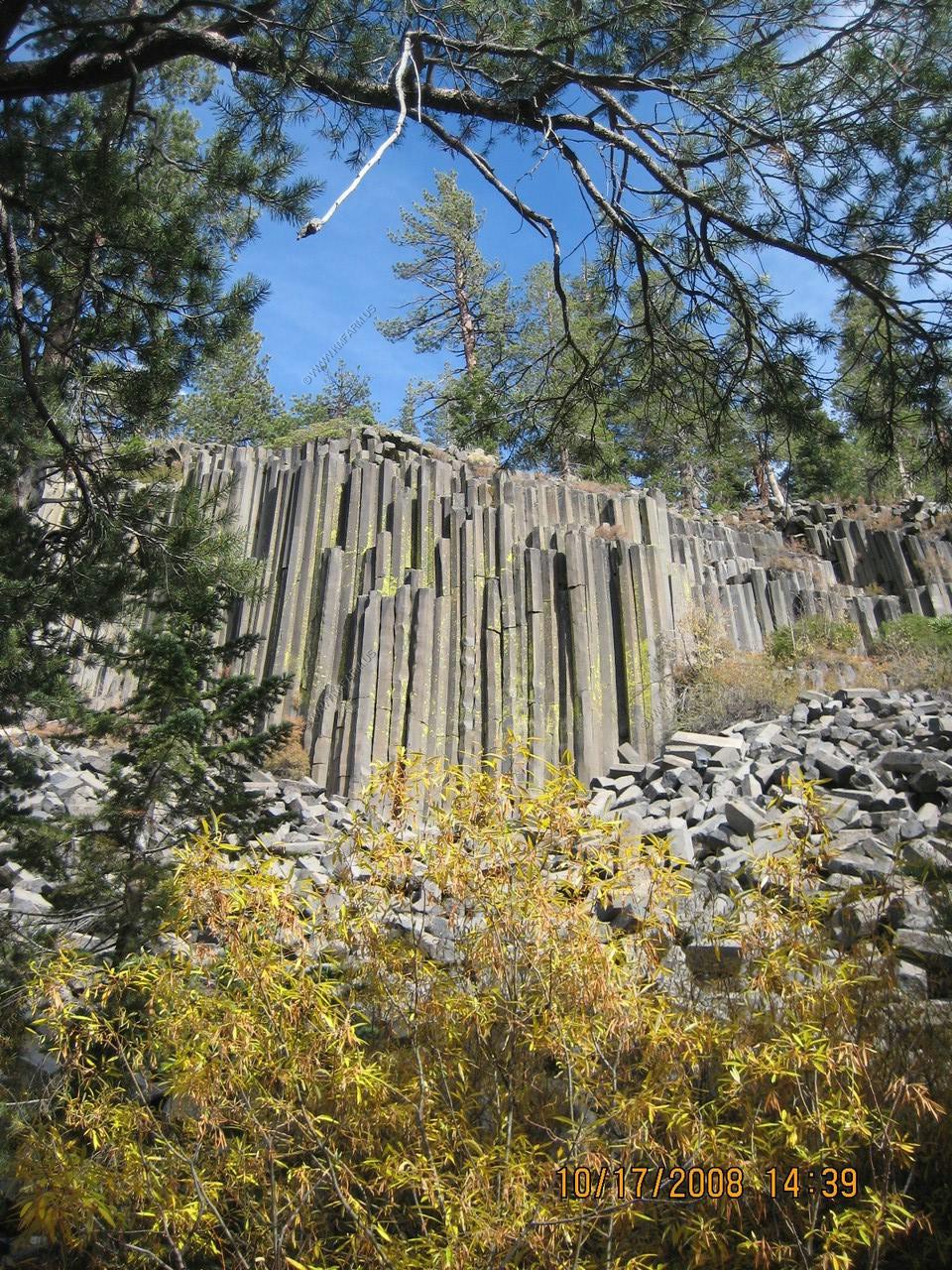
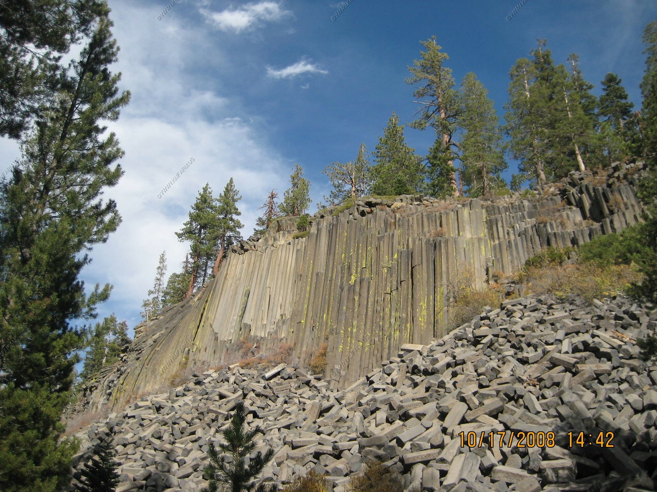
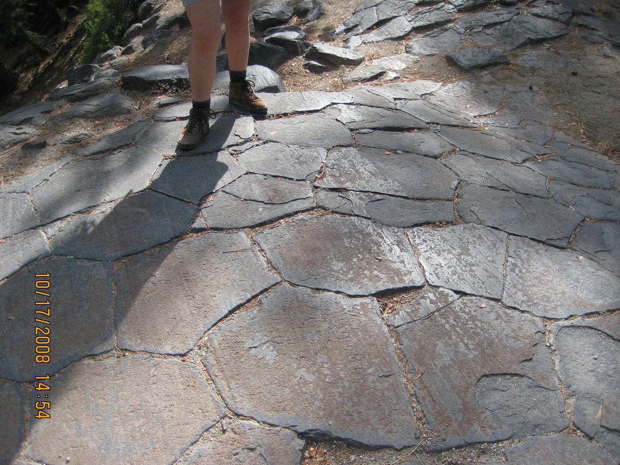
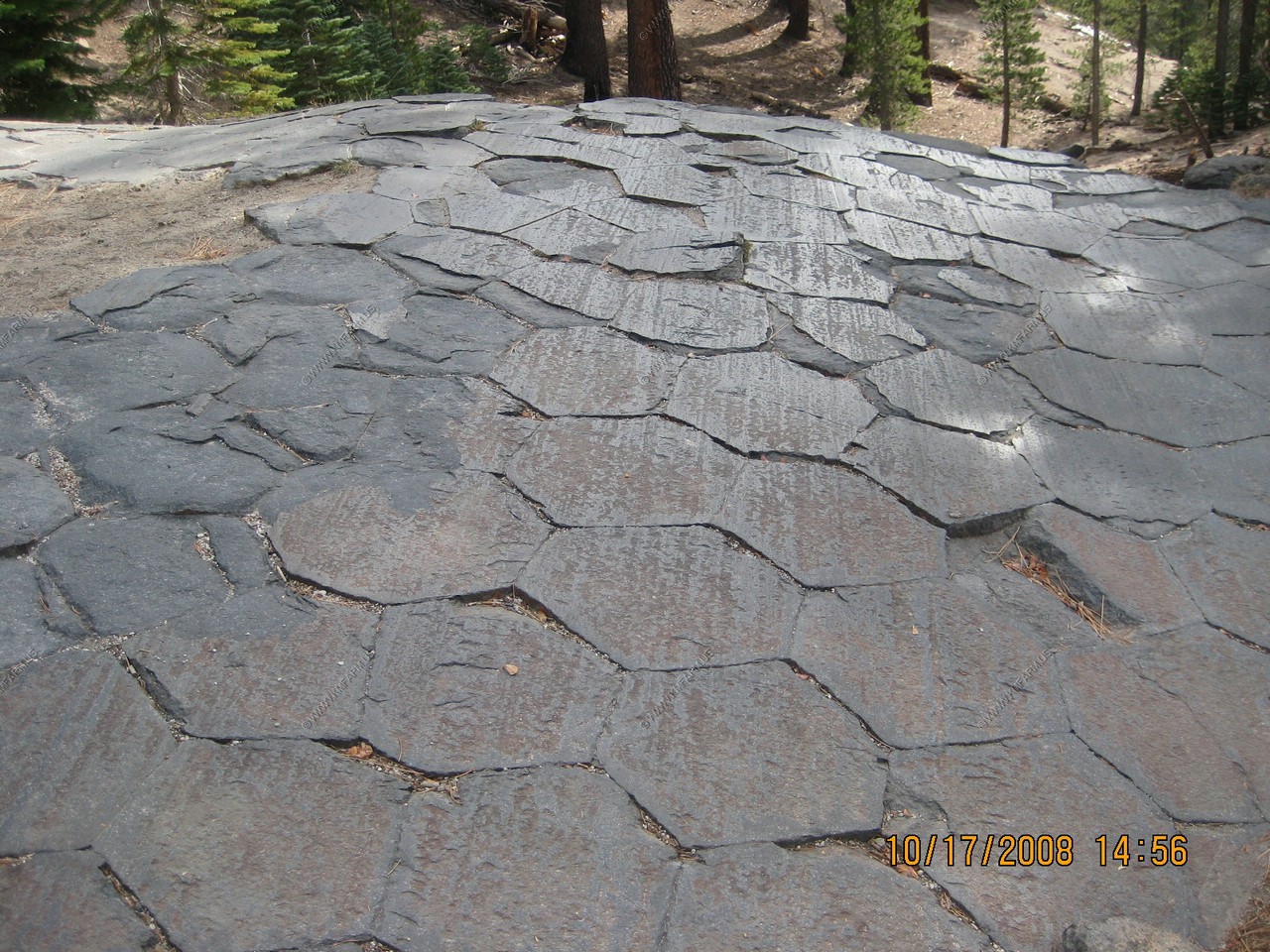
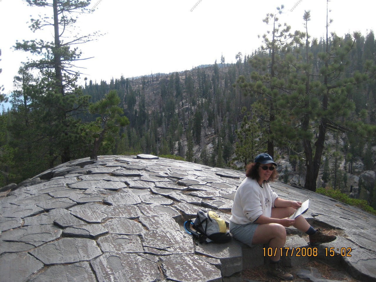
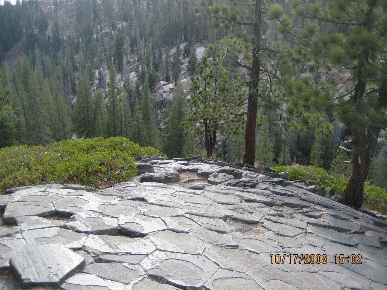
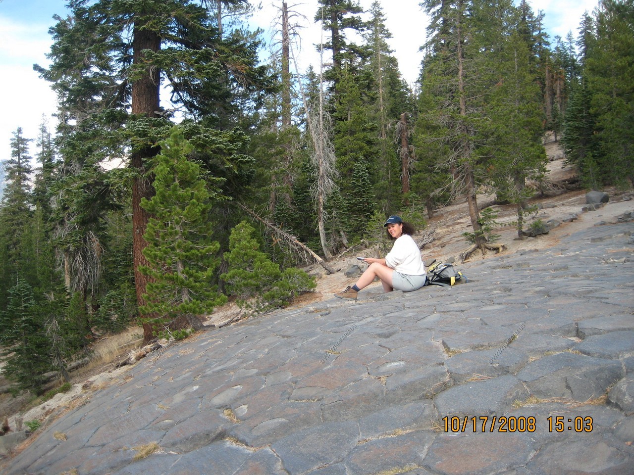
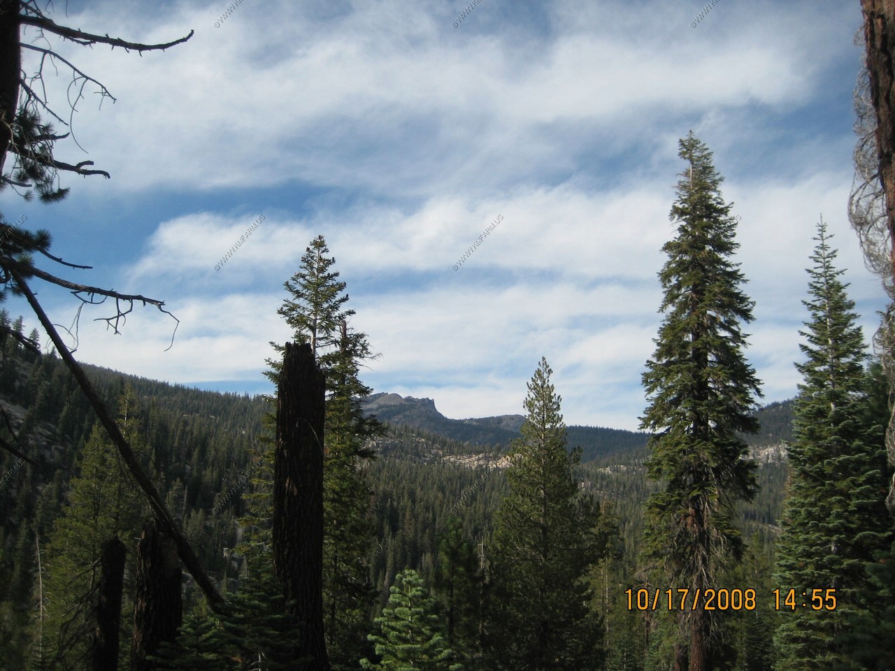
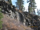
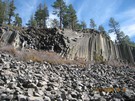
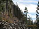
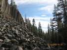
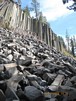
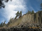
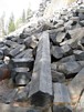
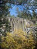
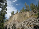
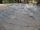
Devils Postpile National Monument is located at 7,560 feet above sea level just west of the Sierra Nevada crest. The formation is a
rare sight in the geologic world and ranks as one of the world's finest examples of columnar basalt. Its columns tower 60 feet high and
display an unusual symmetry.
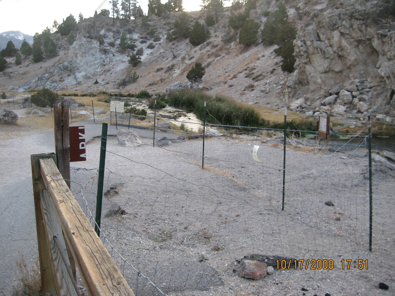
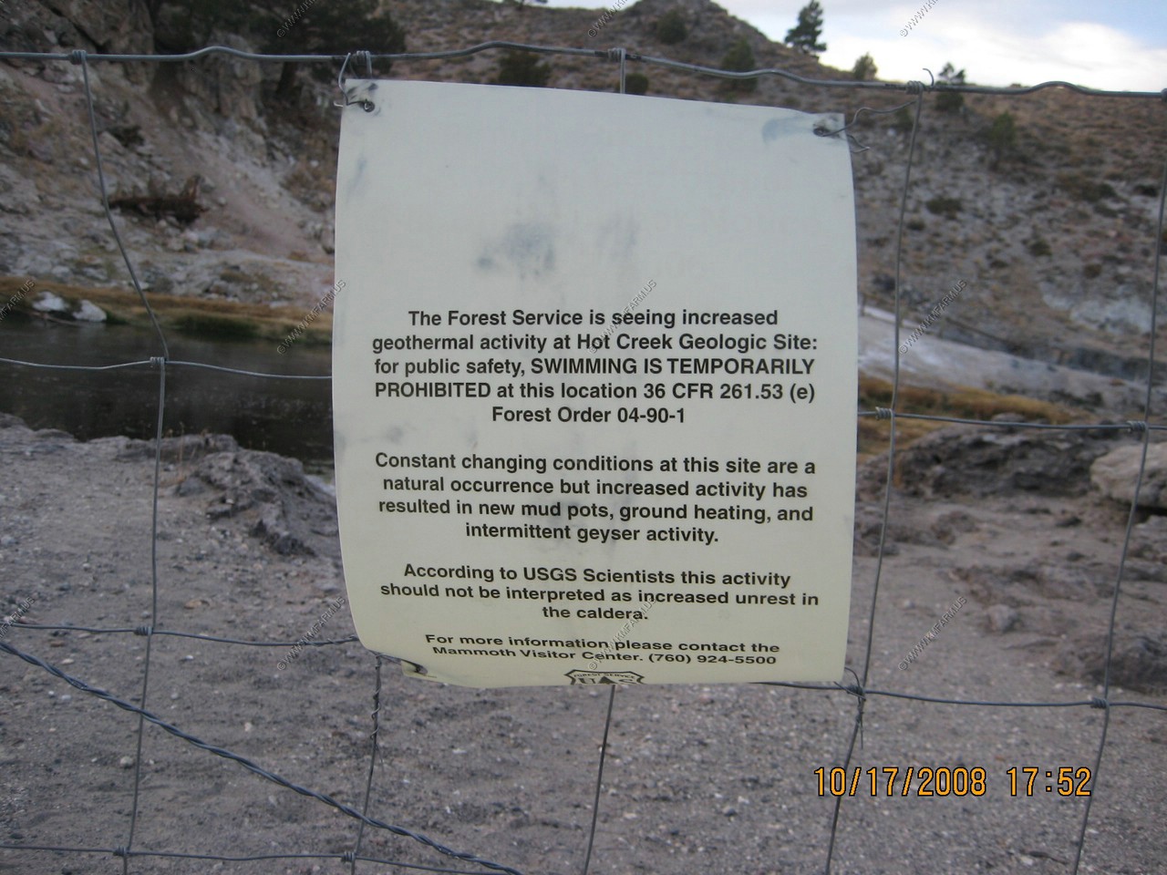
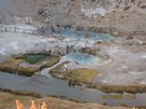
After checking into the Sierra Lodge, we went to Hot Creek, which is the result of a 700,000 year old volcanic explosion. It is fenced
off due to recent increased geothermal activity.
Sierra Lodge at Mammoth Lakes was a nice lodge and a good value.
John's Pizza Works for dinner was expensive but we wanted to eat in our room. Mammoth Brewing Co. IPA beer was dark and good with the pizza!
Some USGS Fact sheets on the Long Valley Caldera:
(PDF) USGS-Living With a Restless Caldera - Long Valley, California
(PDF) USGS-Invisible CO Gas Killing Trees at Mammoth Mountain, California
(PDF) USGS-Future Eruptions in California's Long Valley Area - What's Likely?
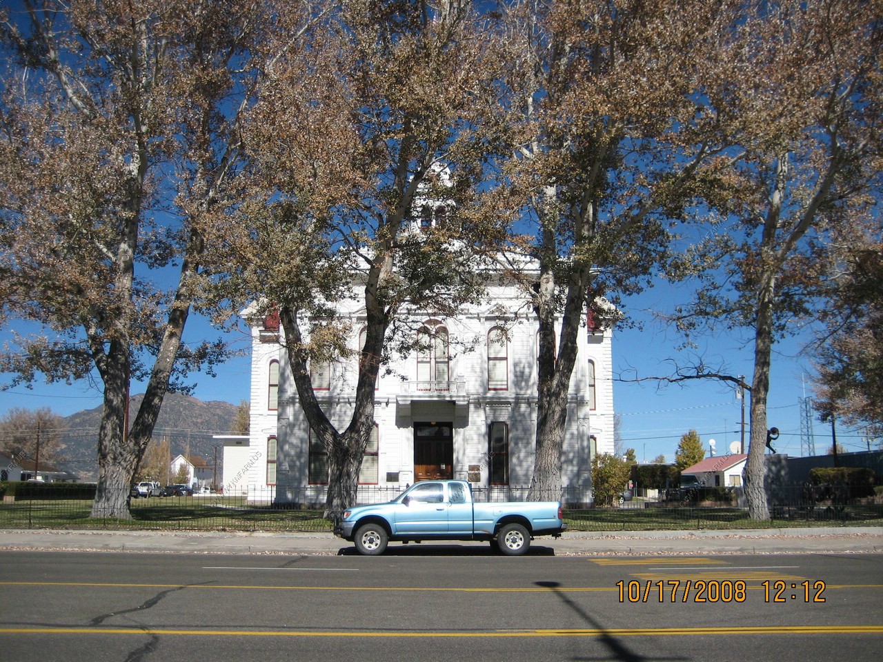
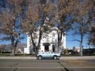
Mono County Courthouse in Bridgeport (Built 1880)
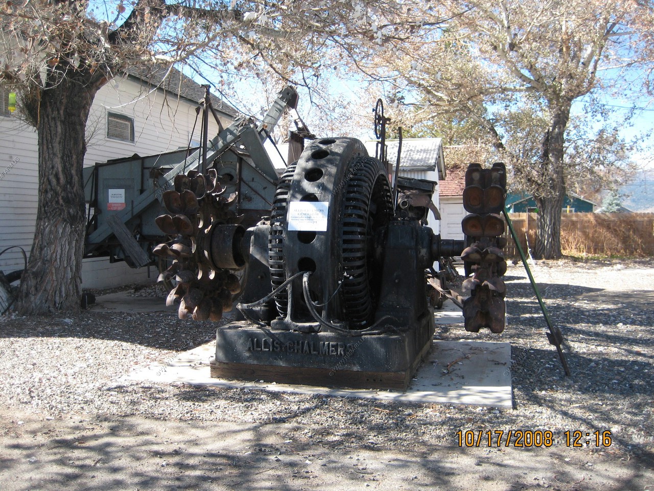
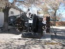
In Bridgeport they had the generator that powered the stamp mill in Bodie
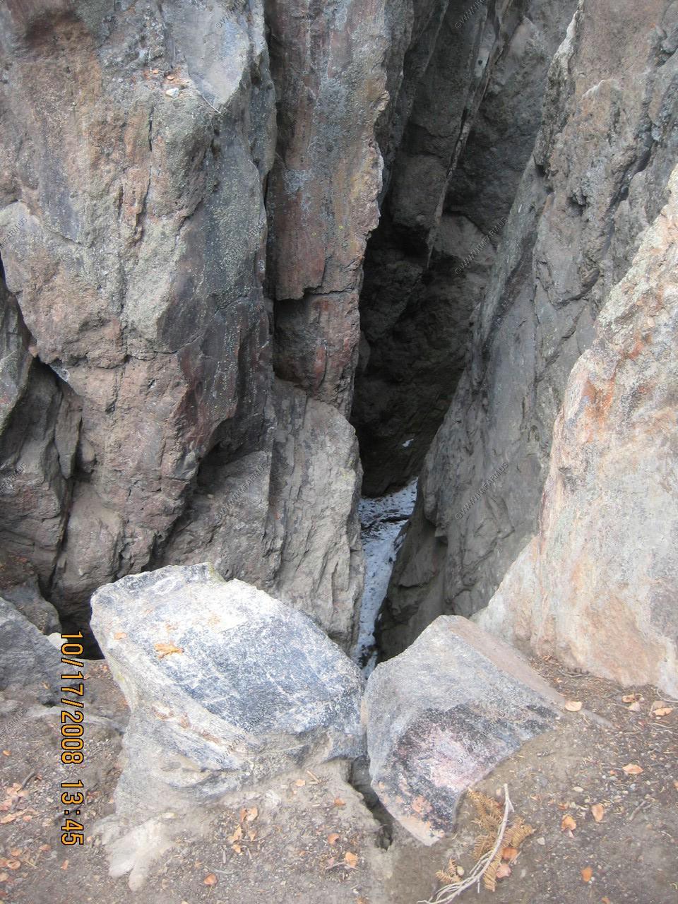
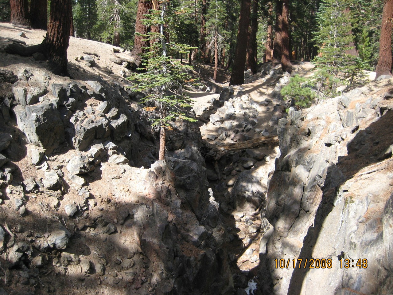
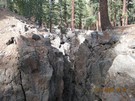
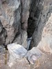
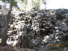
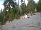
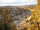
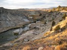
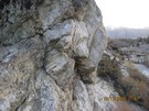
Earthquake Fault
If you read the fine print on the signs... They call this a "fissure". May be a cooling crack or as a result of movements associated
with the rise of the Sierra.

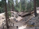
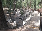


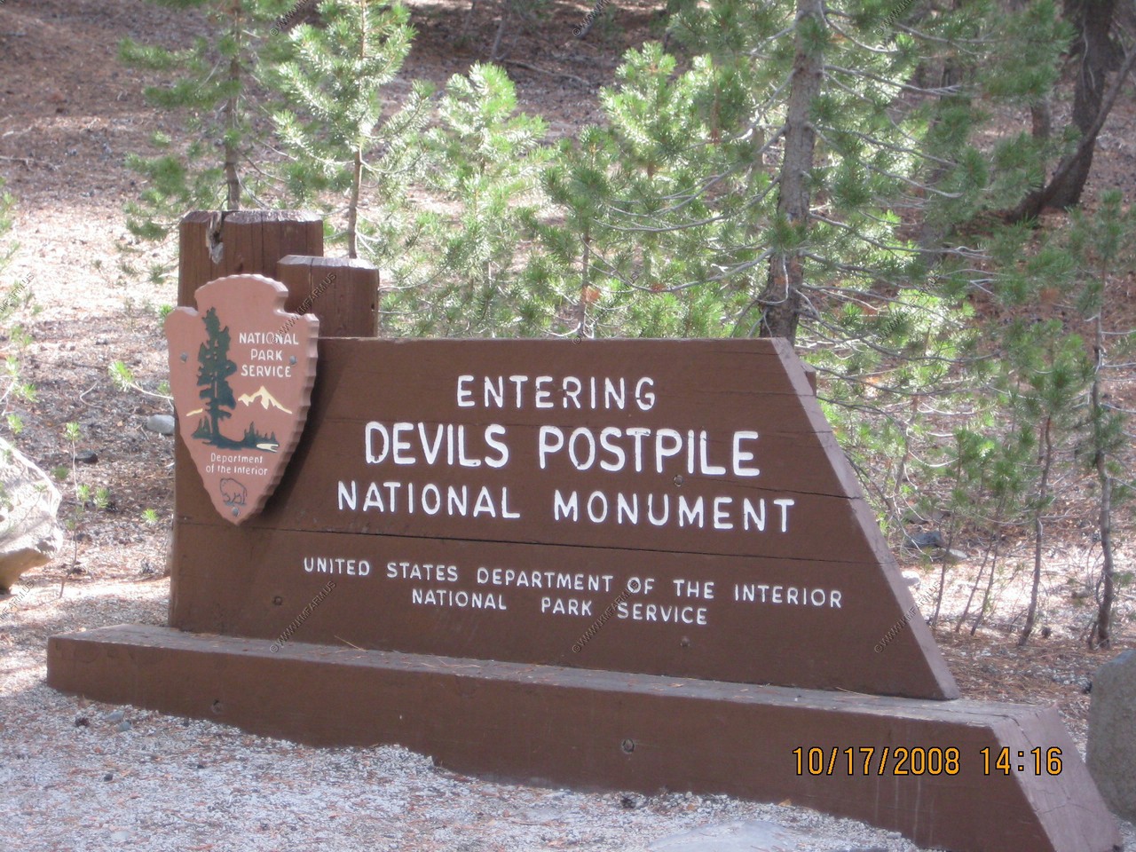
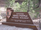
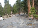
Devils Postpile National Monument (El. 7,560)
We lucked out because we came late enough in the year that we did not have to ride the shuttle bus with the masses...
Also, the road in/out was very steep with rather large drop-offs.
Devils Postpile was once part of Yosemite National Park, but discovery of gold near Mammoth Lakes prompted a boundary change that left
the Postpile on adjacent public land. A proposal to build a hydroelectric dam later called for blasting the Postpile into the river.
Influential Californians, including Walter L. Huber, persuaded the federal government to stop the demolition and in 1911, President
Howard Taft made the area into a United States National Monument. The John Muir Trail and Pacific Crest Trail pass through the monument.
The feature was known locally in the 1890s as the Devils Woodpile.
Several stones from the Devil's Postpile can be seen at the entrance to the United States Geological Survey headquarters lot in Reston, Virginia.
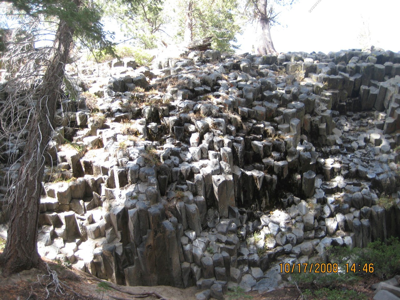
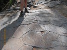
Interesting to see the formation on its side in this area
Outstanding formation of columnar basalt... I agree...
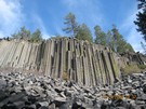
Info on how this was formed.
Would love to take one of these home !
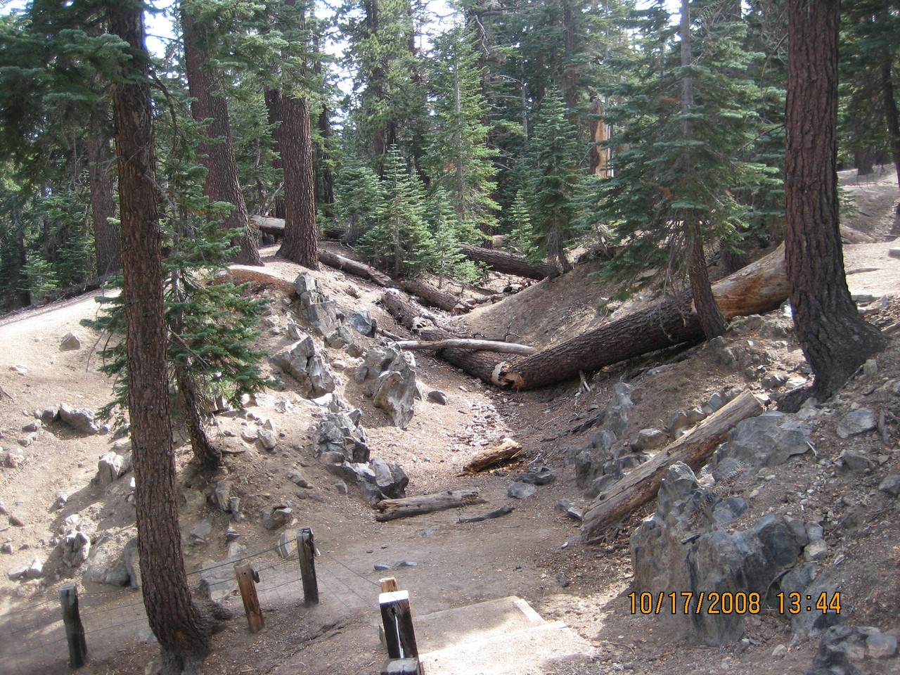
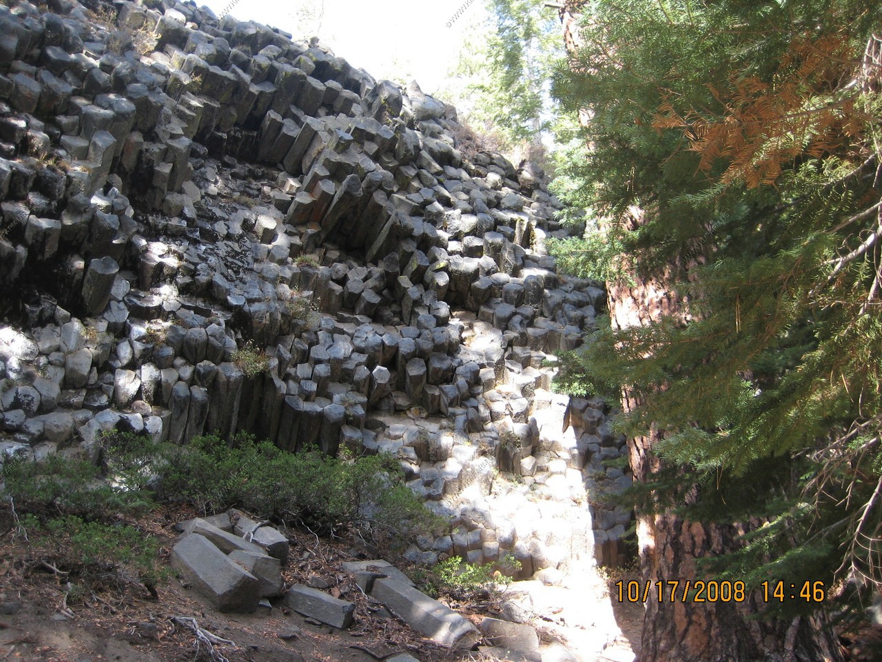
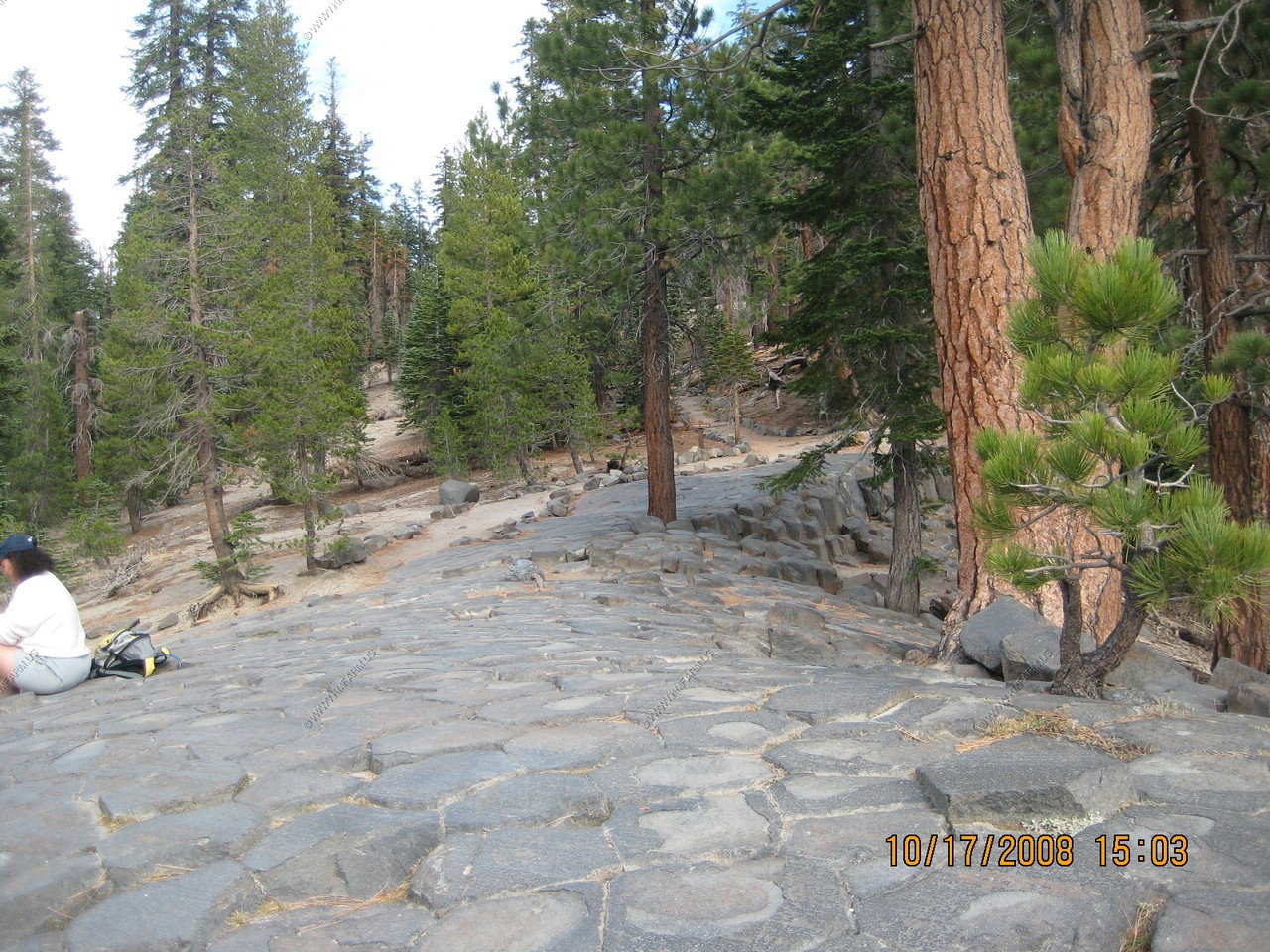
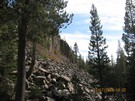
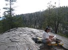
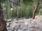
We then took the trail up to the top. More formations in the woods along the trail.
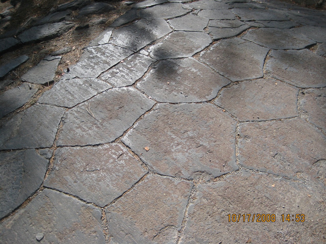
On top where the column tops have been polished by past glaciers. The columns have 3 to 7 sides.
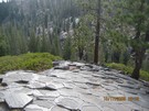
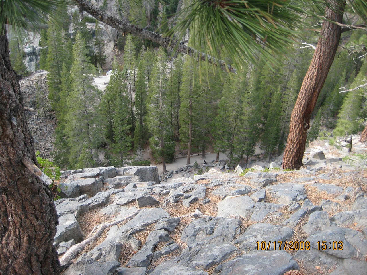
Looking down at the lower trail (where we were looking up before)
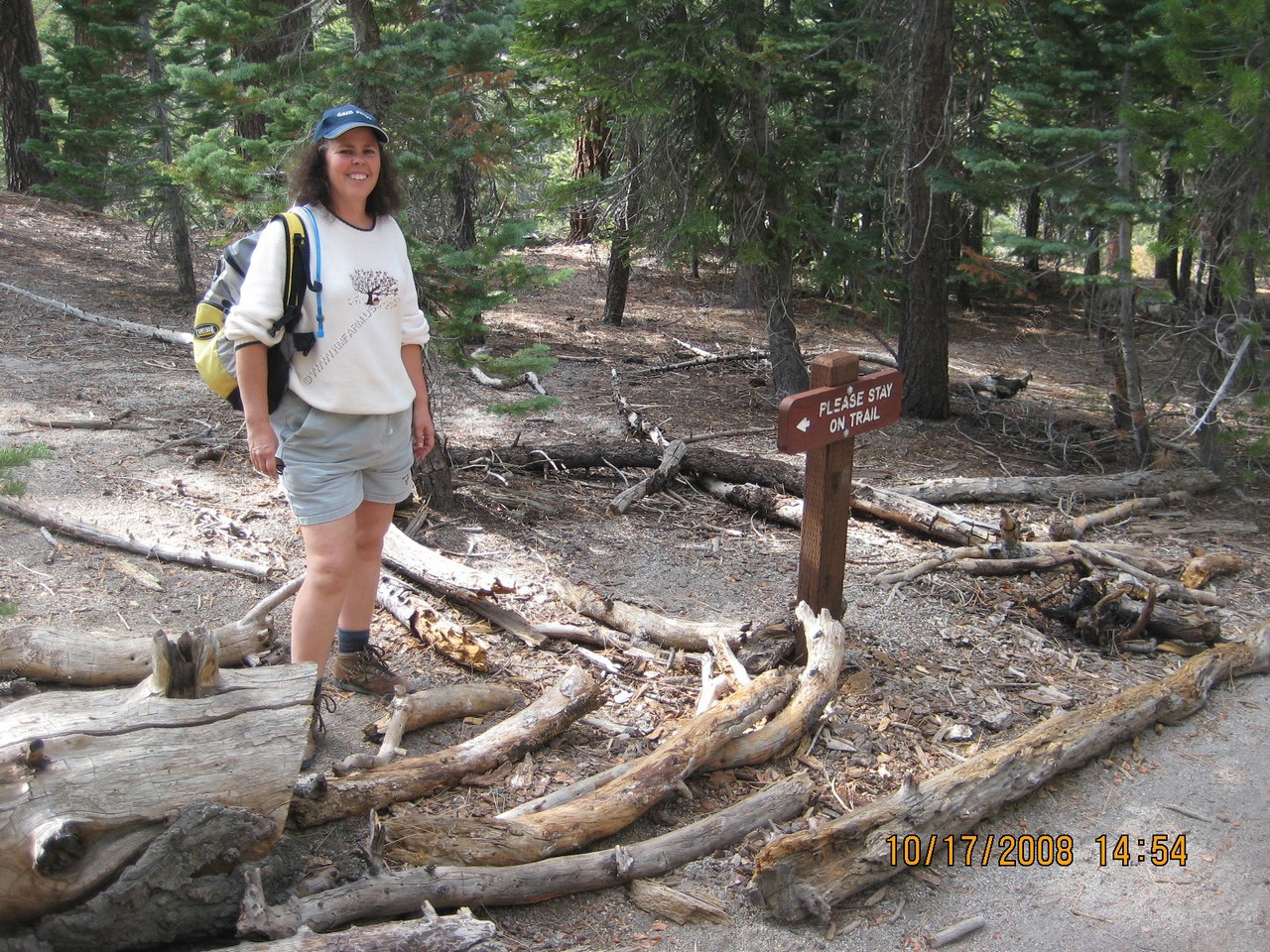
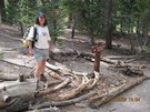
Mary cutting switchbacks !
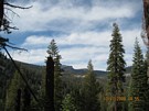
Looking up the Reds Meadow Valley
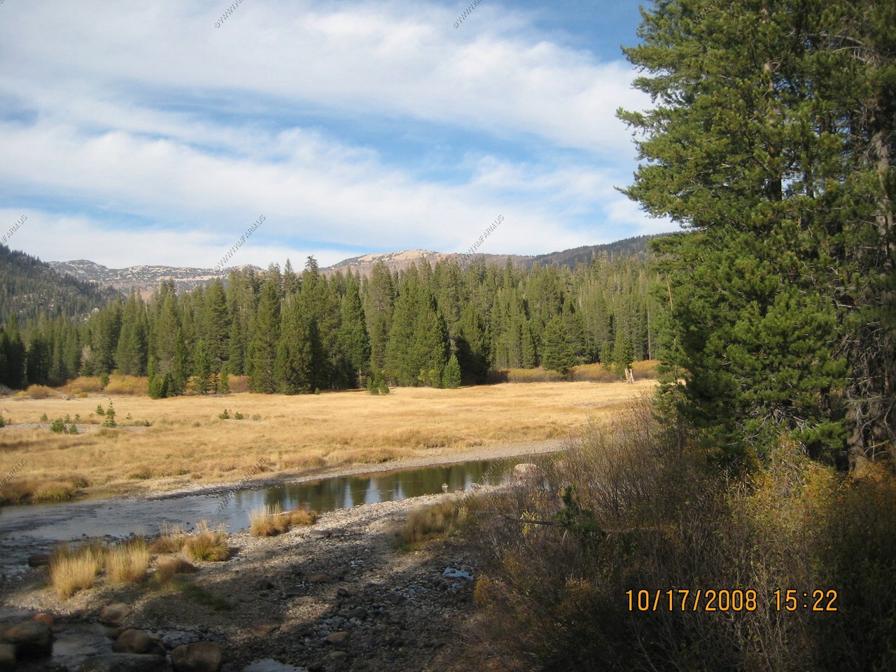
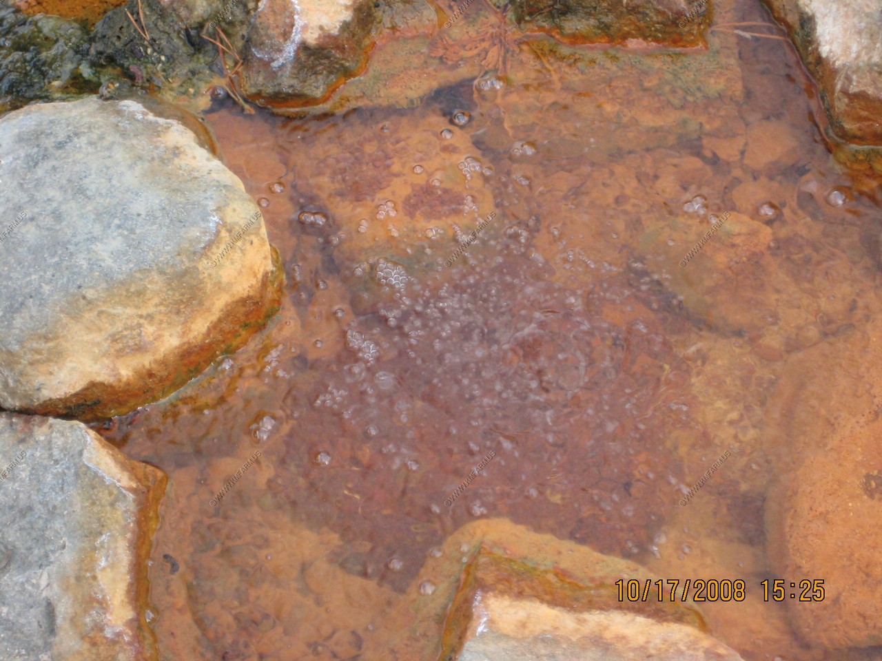
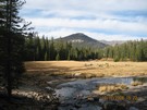
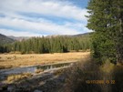
Soda Springs is located on a gravel bar in the river in Soda Springs Meadow, a short distance north of the postpile formation.
Producing carbonated water, this phenomenon is caused by subterranean gases which are forced into the water under pressure. Different gases
are given off by molten magma at its various stages of cooling, carbon dioxide being the last to be discharged. Flowing spring water absorbs
the gas and is carbonated by it. Upon coming to the surface, much of the gas escapes into the air. Such springs usually contain minerals in
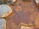
addition to the carbon dioxide, and iron is present in the water at Soda Springs Meadow. The river gravel in this vicinity is stained
reddish brown from it.
Soda Springs Meadow
Soda Springs

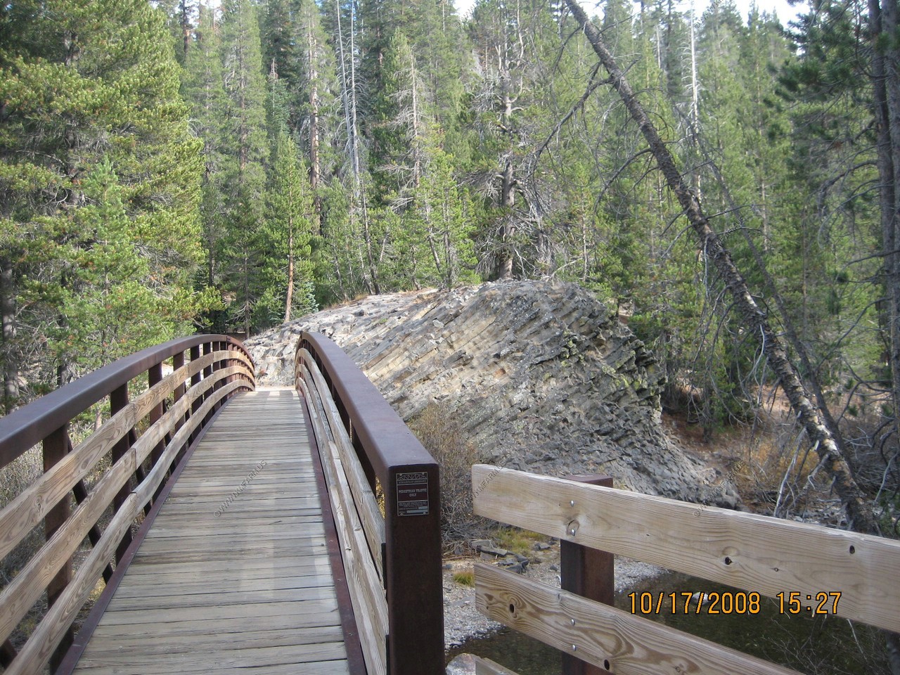
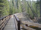
Nice bridge over the Middle Fork San Joaquin River near Soda Springs
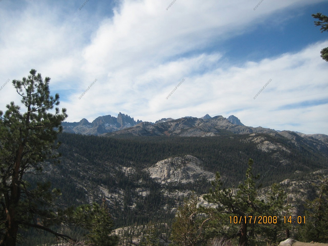
Minarets Vista (El. 9,175)
The Minarets are all that remains of an ancient lava flow. These mountains existed millions of years before the formation of the Sierra Nevada,
today they are part of the Ritter Range. Their sawtooth appearance is created by the freezing and expansion of water from rain and snow which
seeps into cracks in the rock. This slow weathering process gradually chips away bits of rock enhancing the jagged look of these peaks.
Regreatablly, the minarets were named for their resemblance to the spires on moslem temples.
We did not realize that we were only a few miles from where they found Steve Fossett's crash area only a few weeks ago.

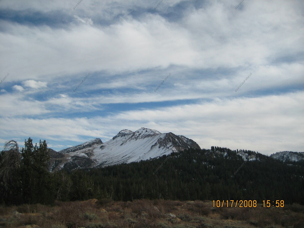
Looking south at Mammoth Mountian Ski Area. (El. 11,030)
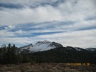
Looking East at White Mountain Peak (El. 14,246) appx. 45 miles away.

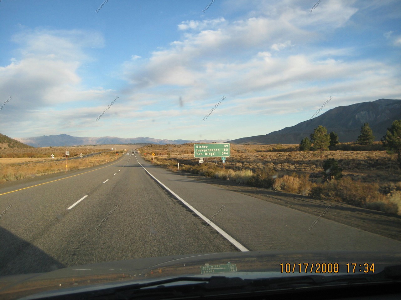
On our way to Hot Creek we pass a mileage sign on US-395 that warned us that San Diego was only 394 miles away. Too close !

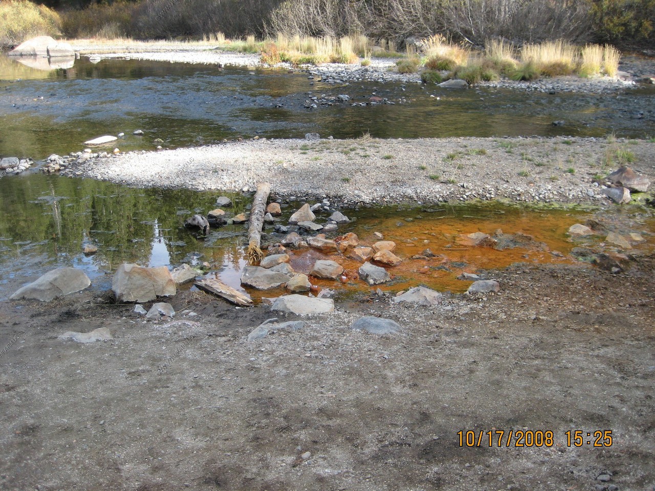
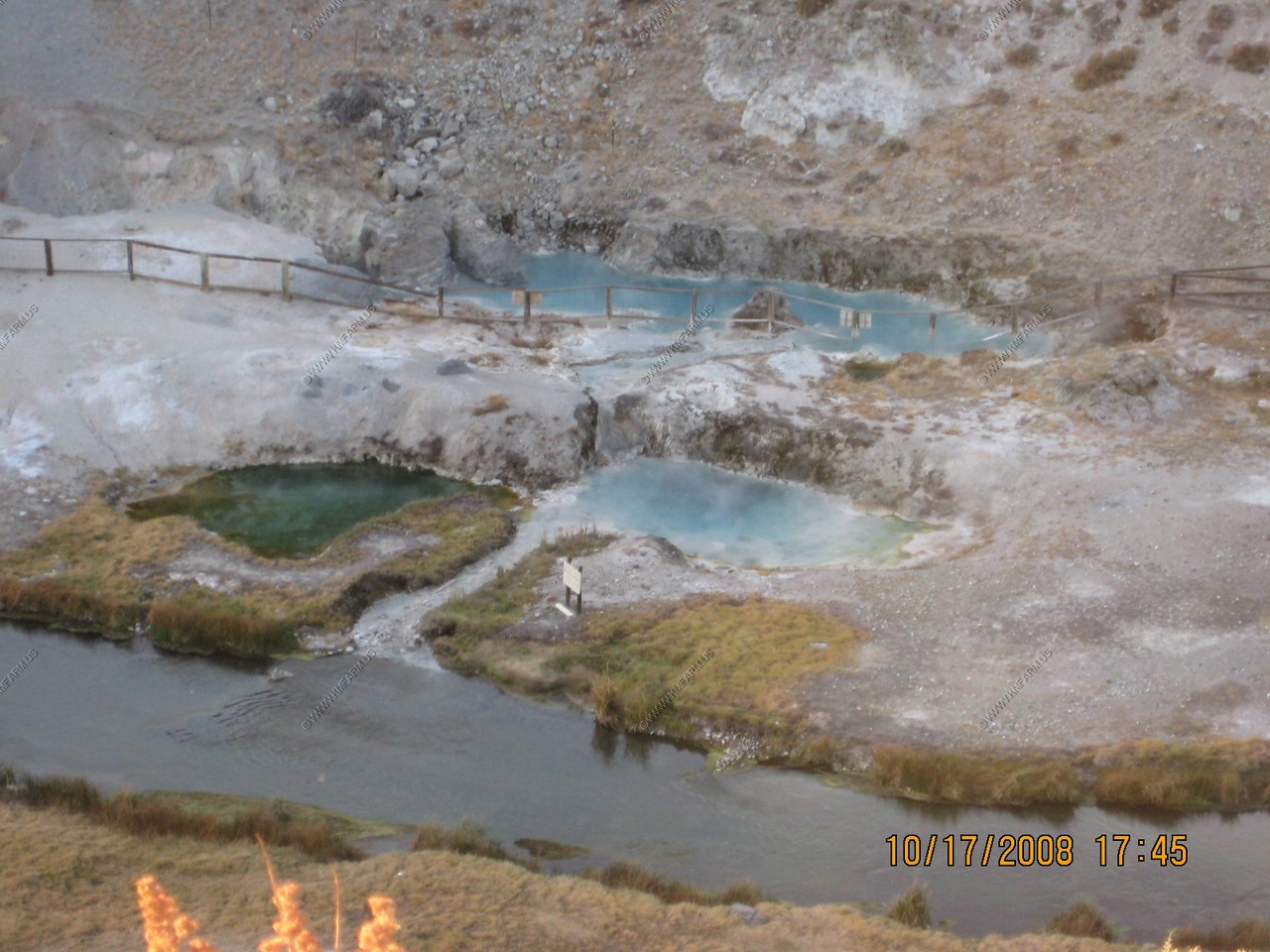
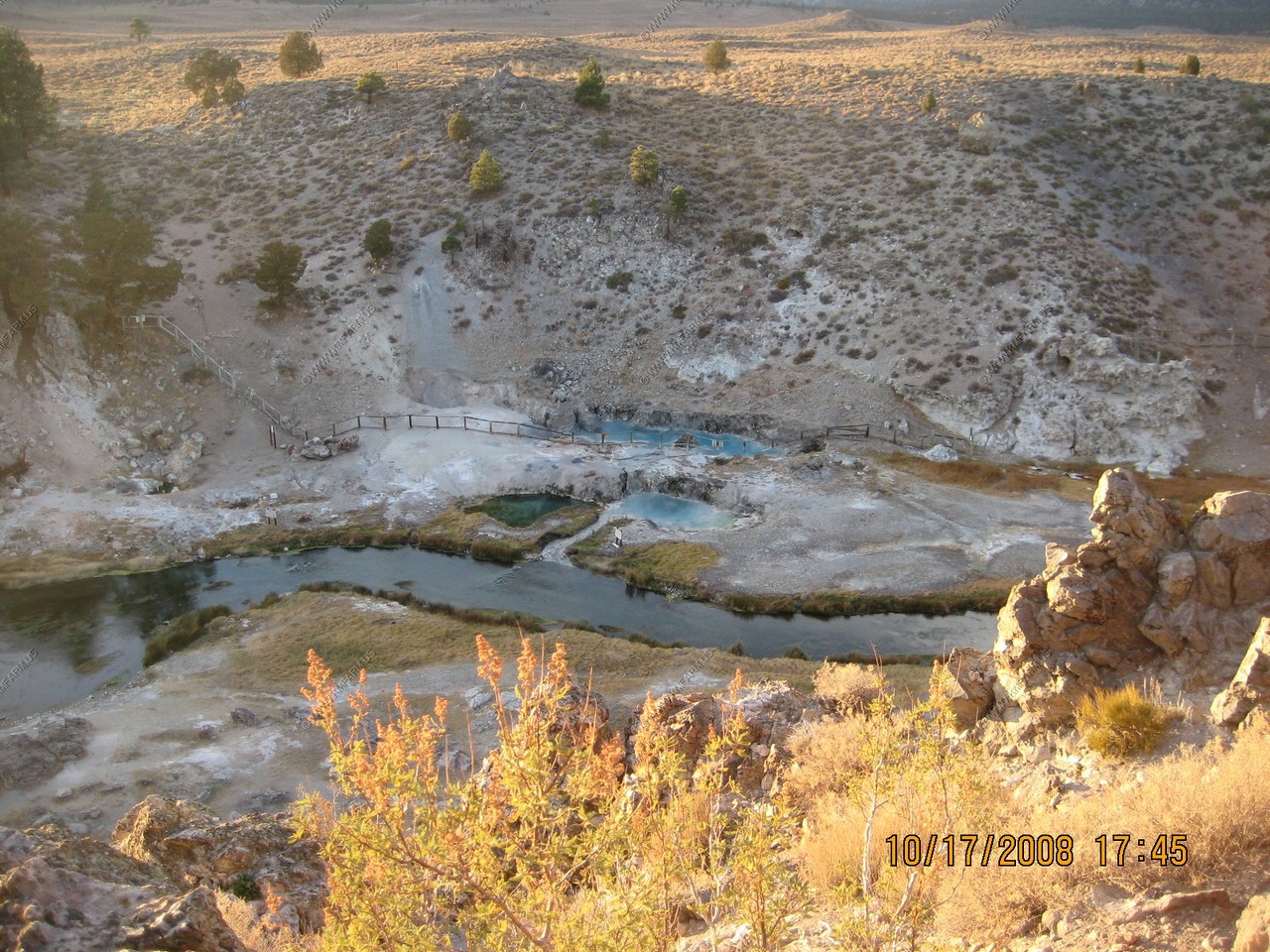
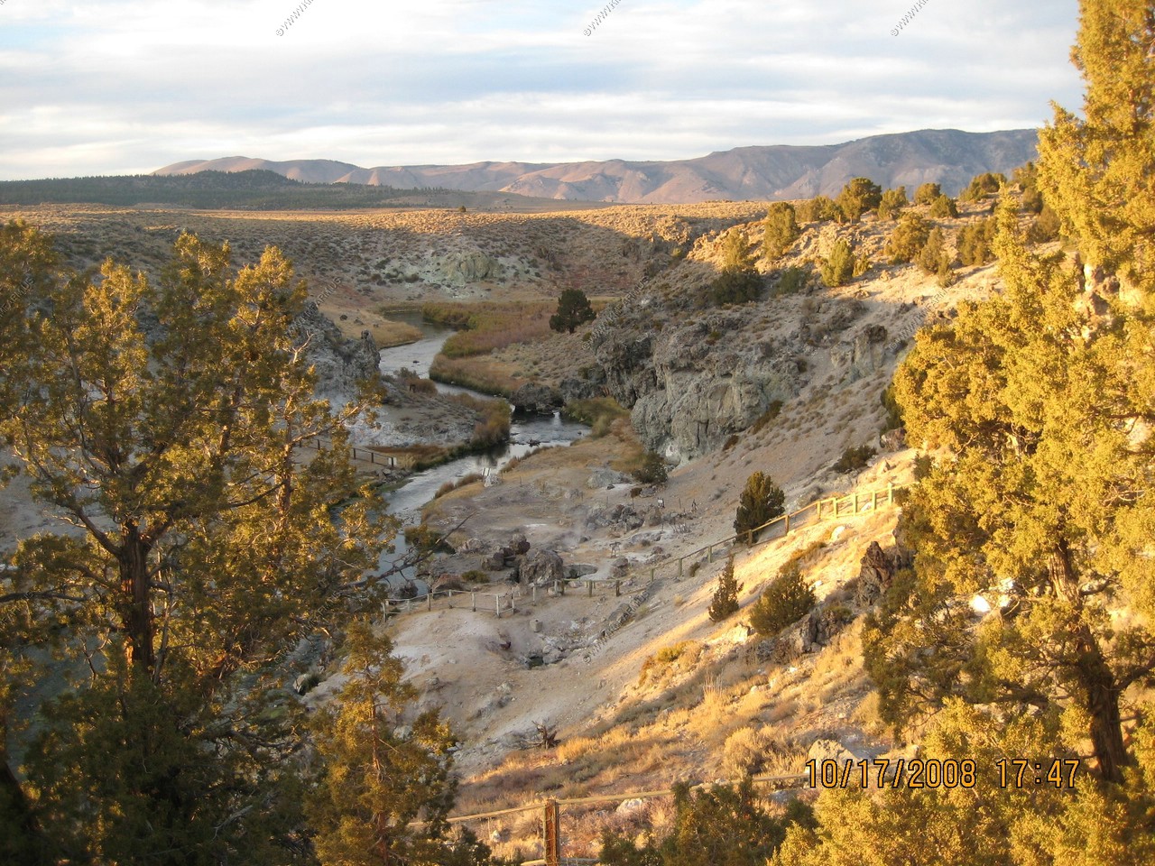
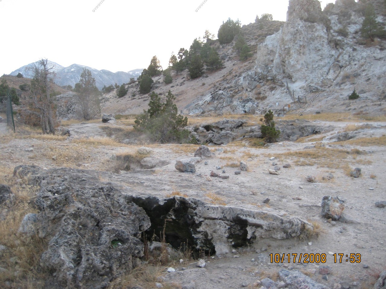
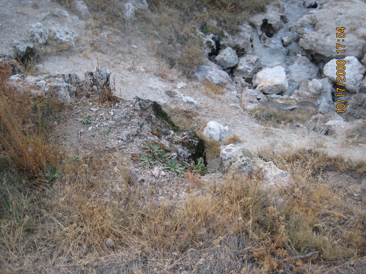
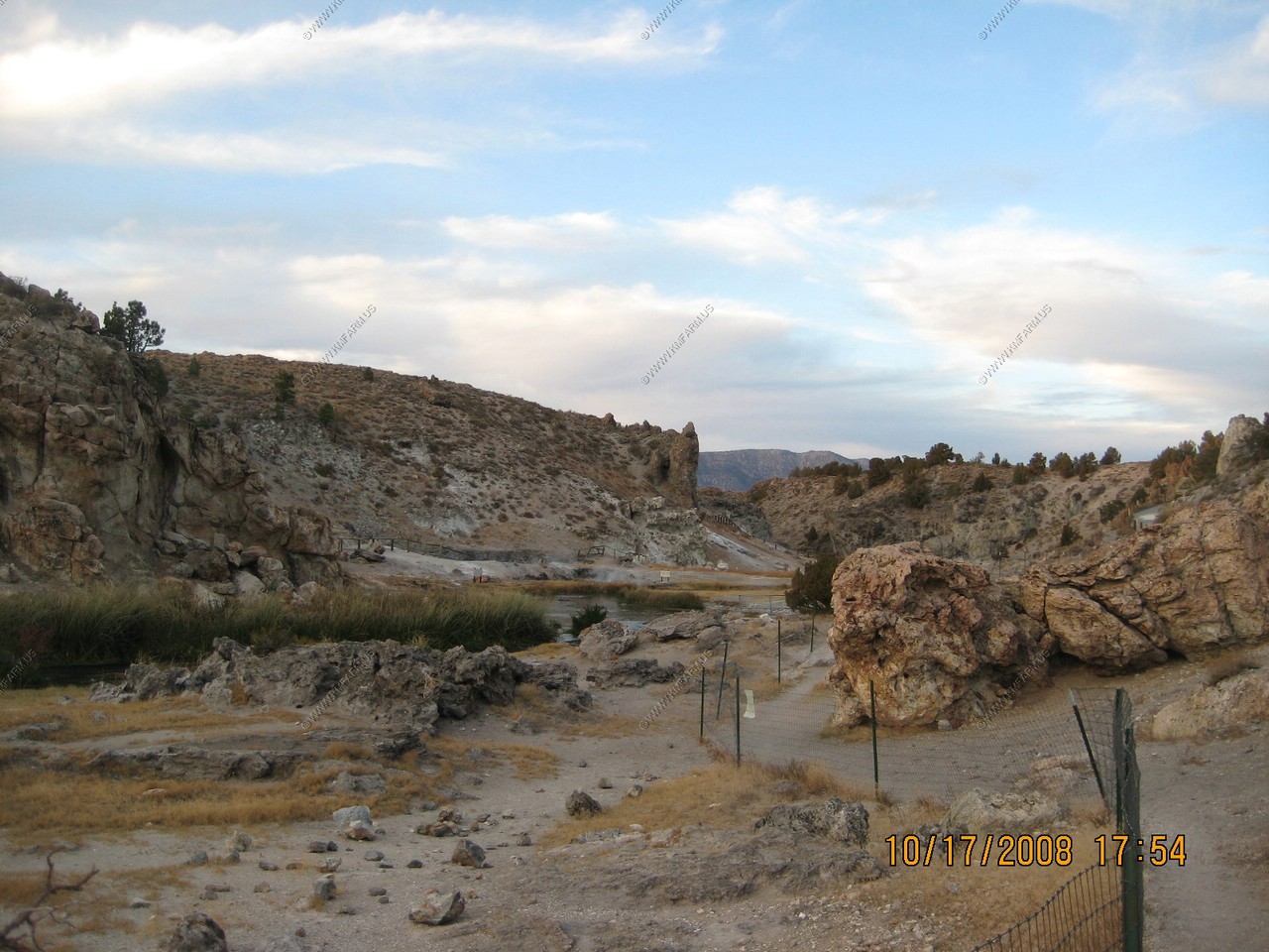
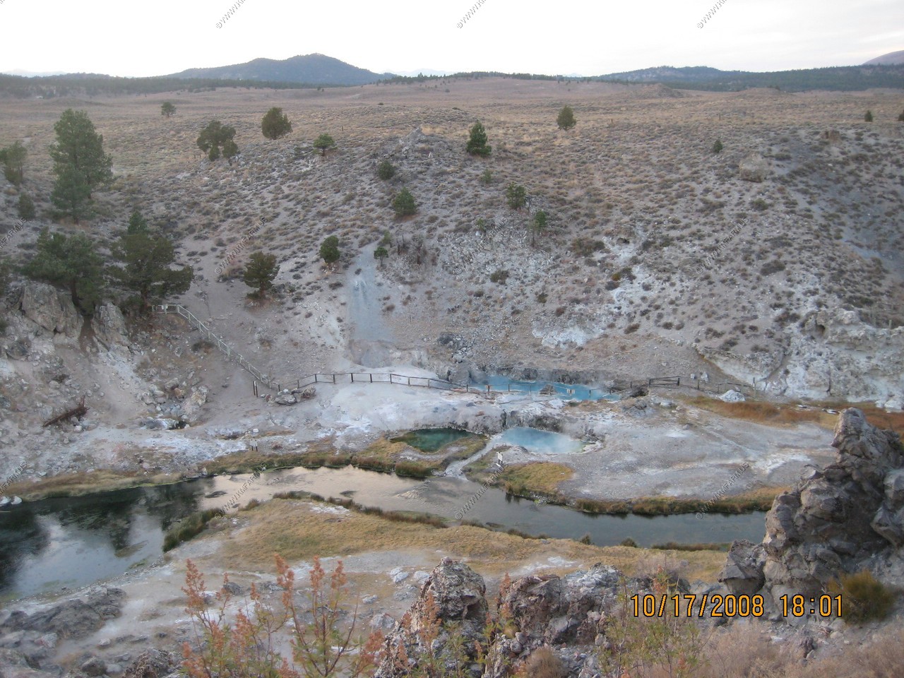
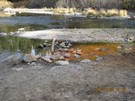
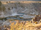
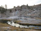
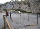
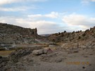
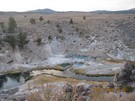
Hot Creek
(PDF) USGS-Boiling Water at Hot Creek—The Dangerous and Dynamic Thermal Springs in California’s Long Valley Caldera
We figured we had enough time to explore Hot Creek. Most of it was closed because of increased thermal activity.
Hot creek is only a few miles south of Mammoth Lakes on US-395 East of the Airport.
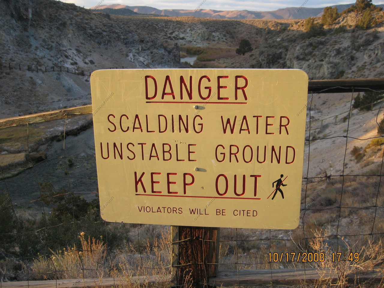
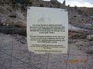
A number of warning signs told the stories...
14 people have lost their lives or been seriously burned in Hot Creek since 1968. Many more have been injured. Some of the hazards are:
scalding water, broken glass, arsenic in the water, sporadic high pollution, sudden temperature changes, unpredictable eruptions, unstable ground.
Hot Creek, a uniquely beautiful and ever-changing landscape, is the result of a 700,000 year old volcanic explosion. This is a place where Earth
releases internal pressure, heat, and natural substances some of which are toxic to us.
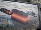
Hot Creek: evidence of a fiery past
You are standing in the bottom of a large volcanic basin. This 10 x 18 mile depression in the Earth's crust was created about 700,000 years ago
when tremendous eruptions blasted nearly 50 cubic miles of molten rock from beneath the earth's surface. The ground then sank several hundred feet
producing this huge depression referred to as a caldera. Water from the Sierra Nevada filters down through cracks in the Earth's crust and becomes
heated by the magma. The steam vents, springs of boiling water and occasional geysers of Hot Creek provide dramatic evidence of this area's fiery past.


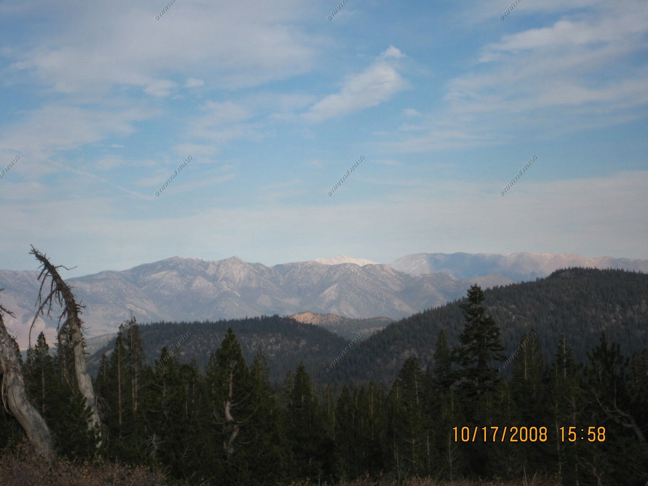
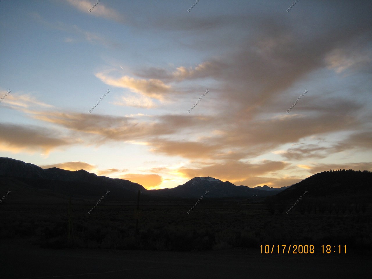
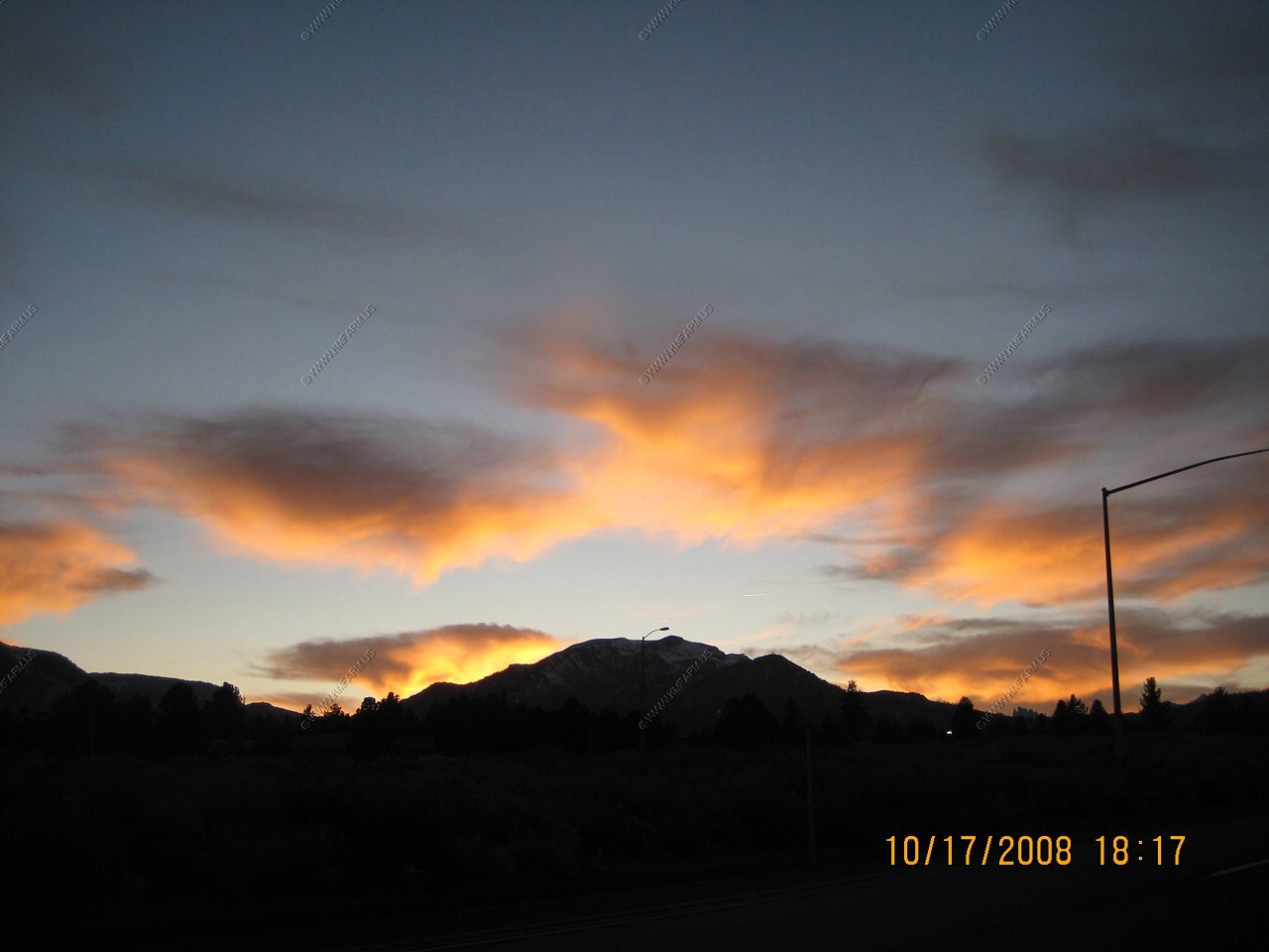
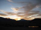
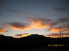
Sunset over Mammoth Mountain from Hot Creek.
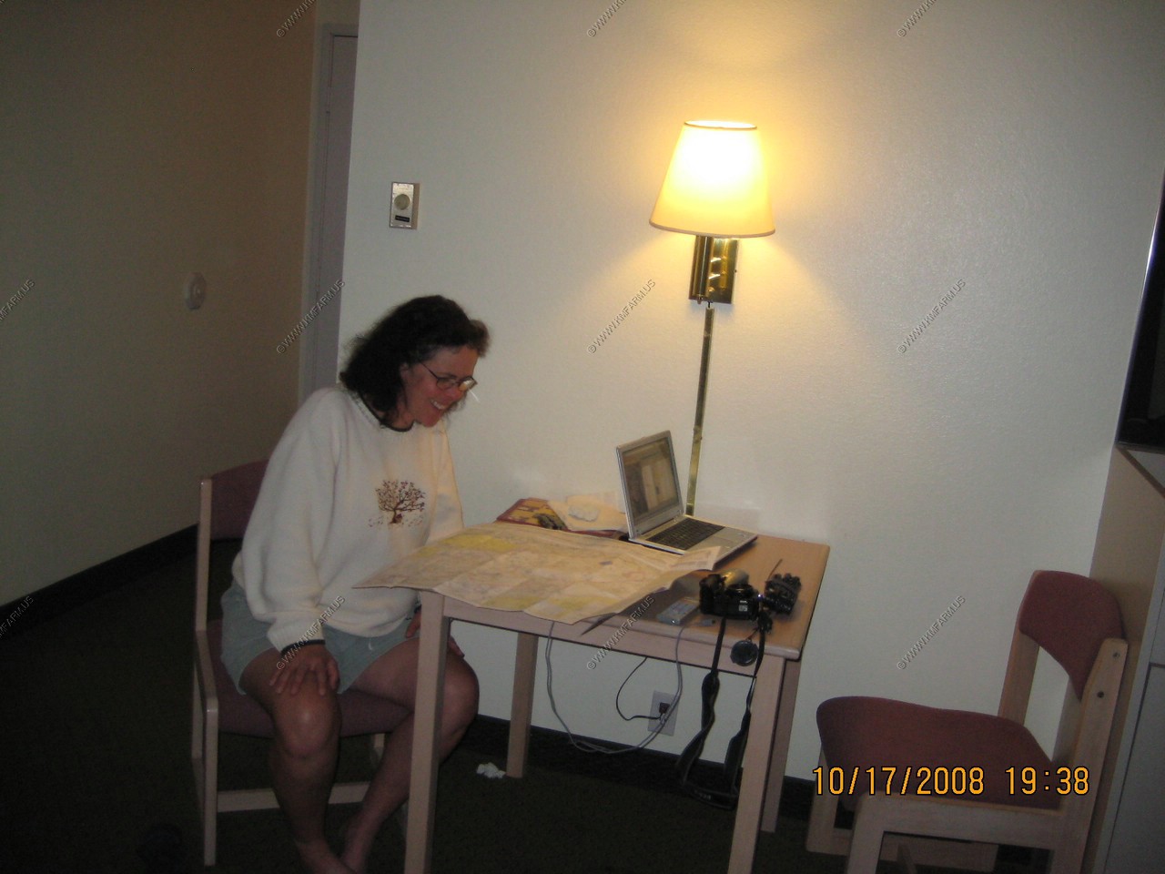
Back at Sierra Lodge at Mammoth Lakes. And YES !! They had Internet and it worked !
Mary helping to plan the next day

On to Day 11
Back to the West Trip 2008 page