Last Updated: 21-AUG-2018
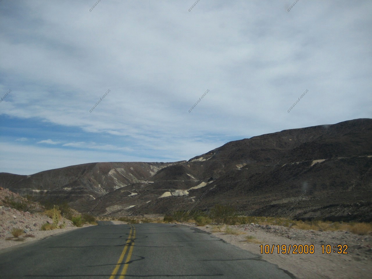
Easy day of driving. Appx. 152 miles all in the park
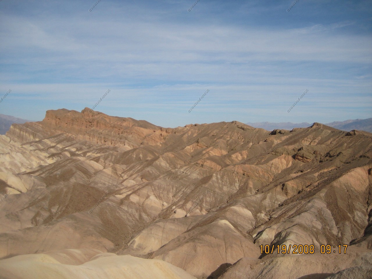
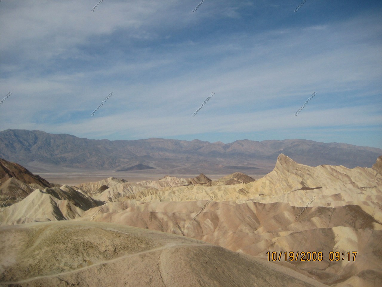
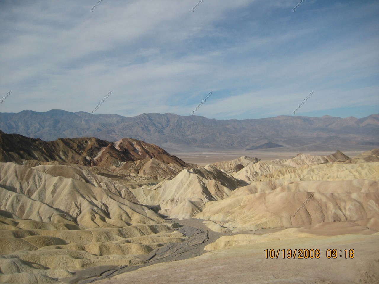
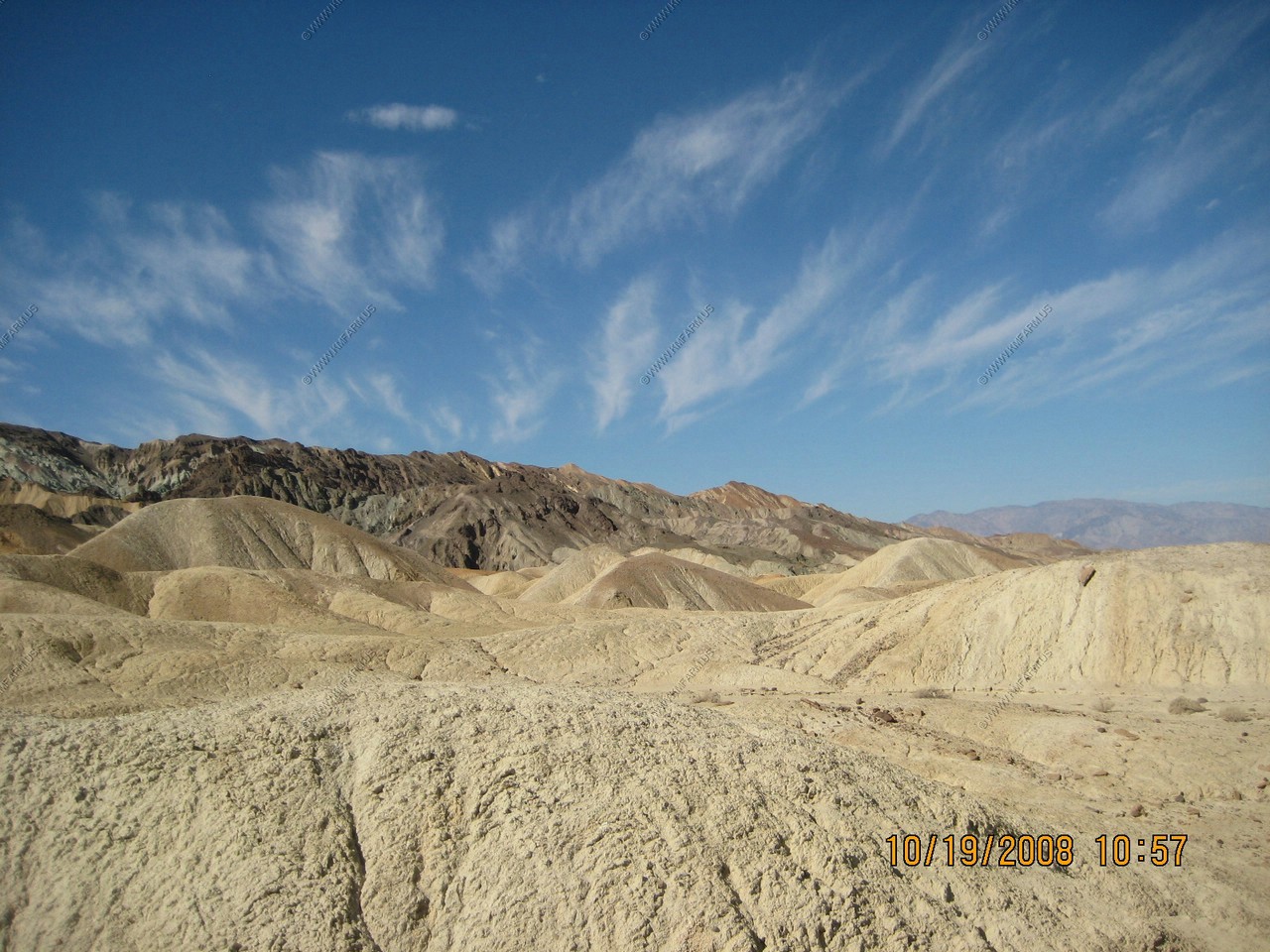
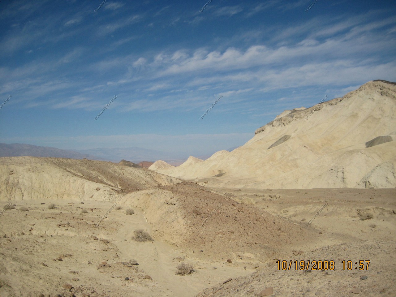
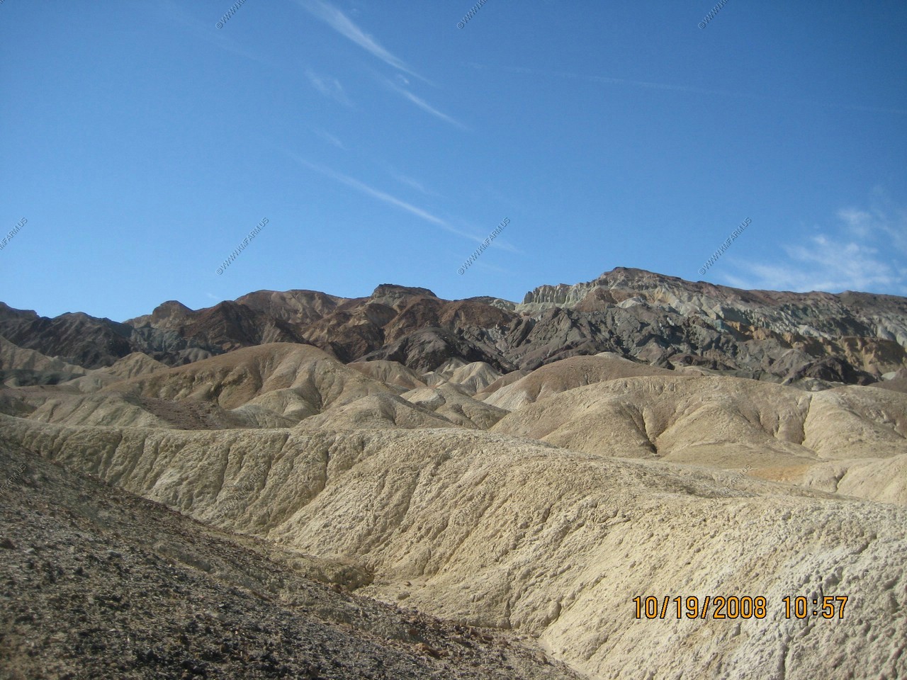
After our first evening at Furnace Creek Ranch, we went to Zabriskie Point. Zabriskie Point is a part of Amargosa Range located in Death Valley National Park noted for its erosional landscape. It is composed of sediments from Furnace Creek Lake, which dried up 5 million years ago - long before Death Valley came into existence.
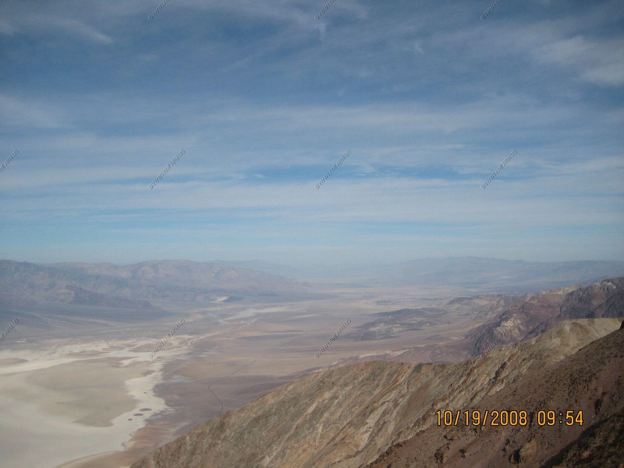
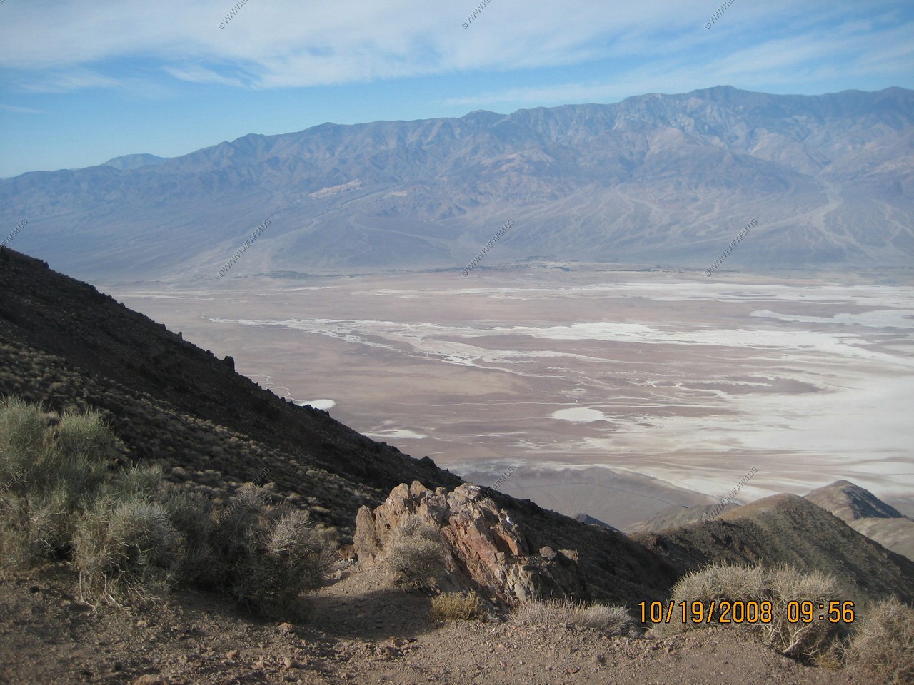
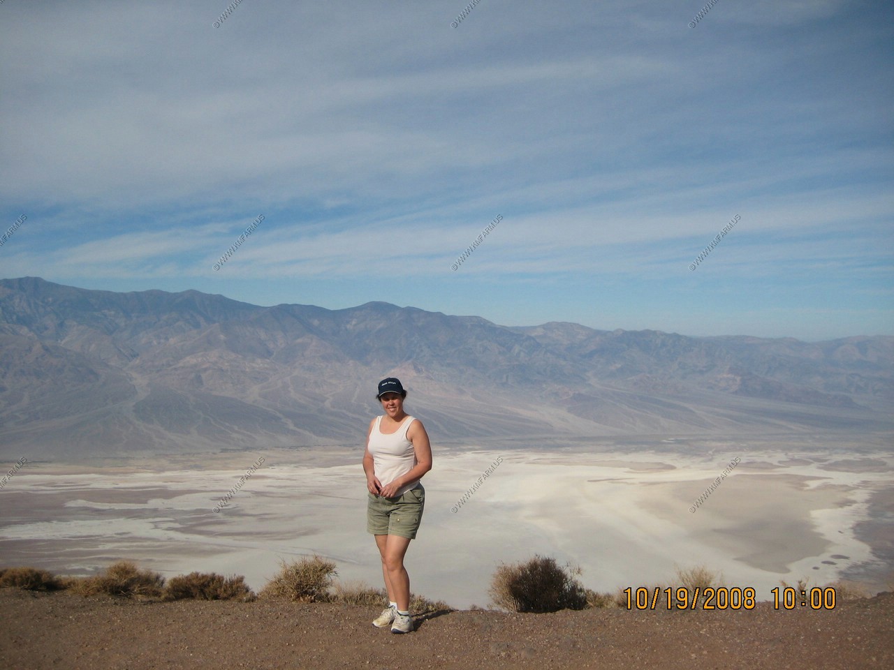
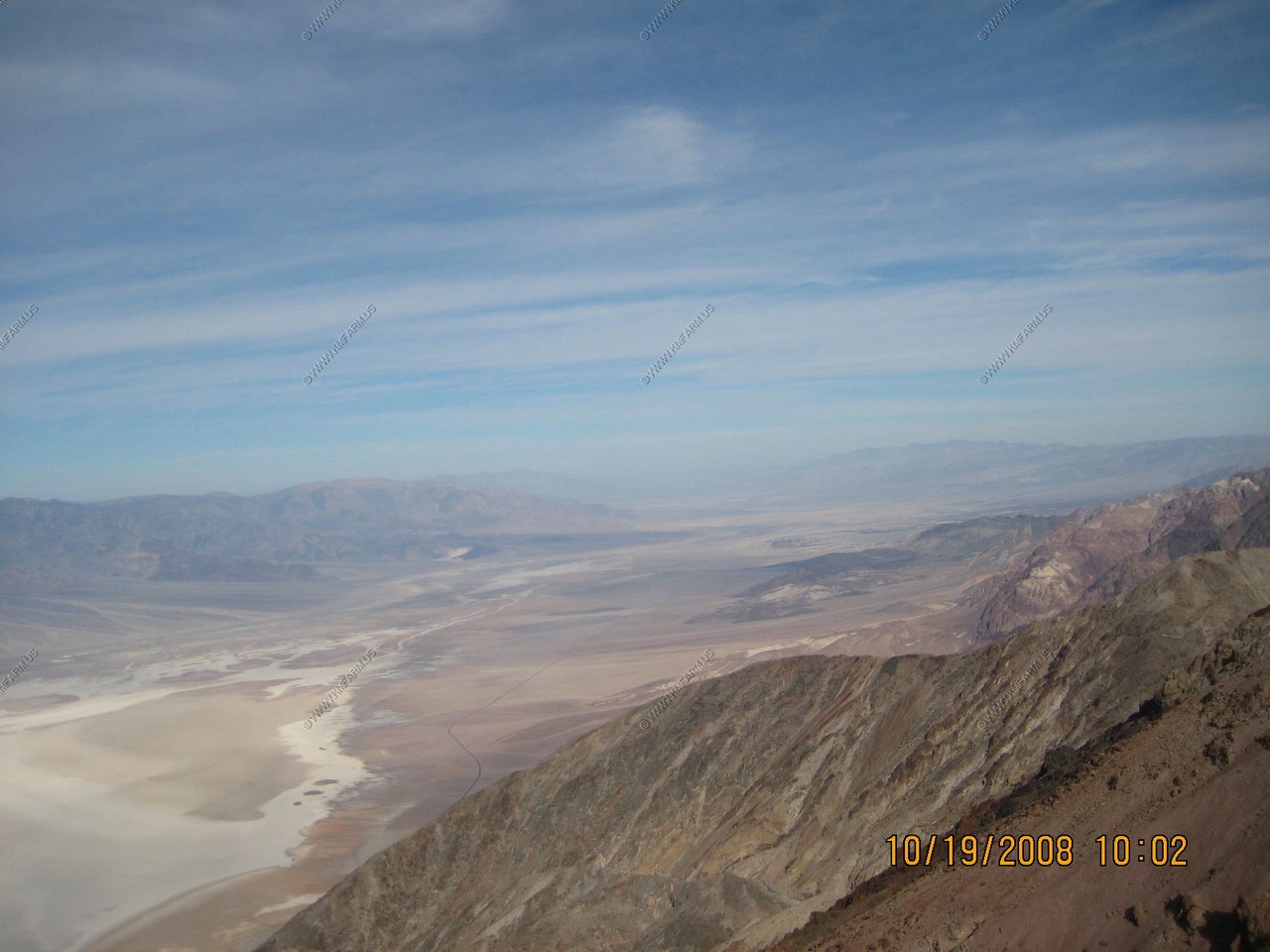
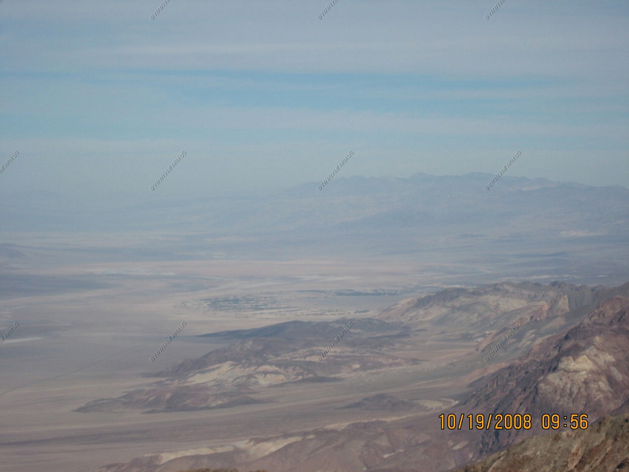
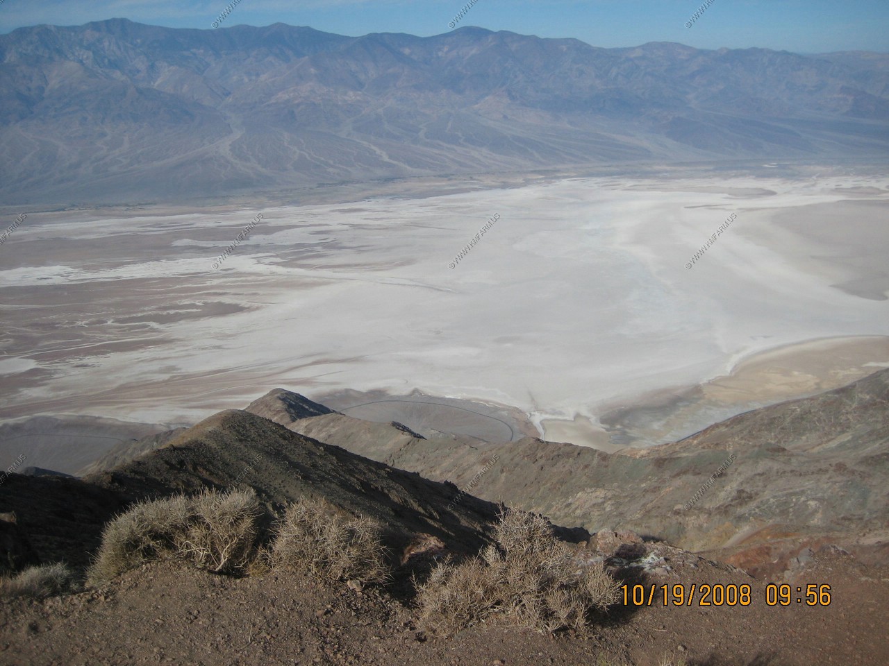
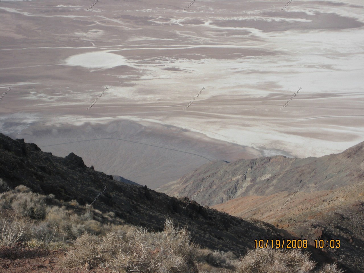
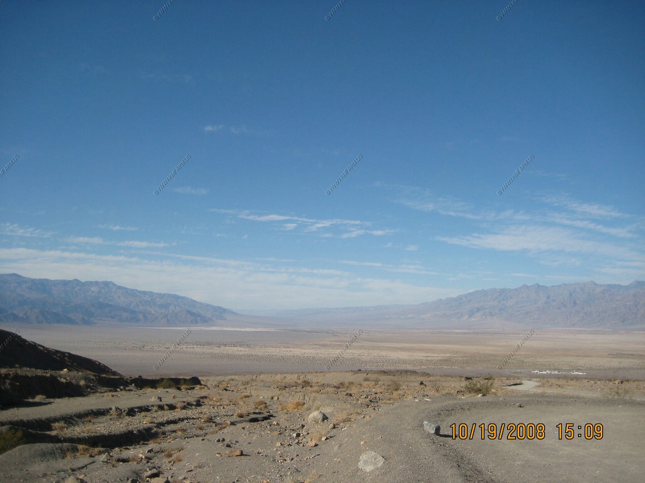
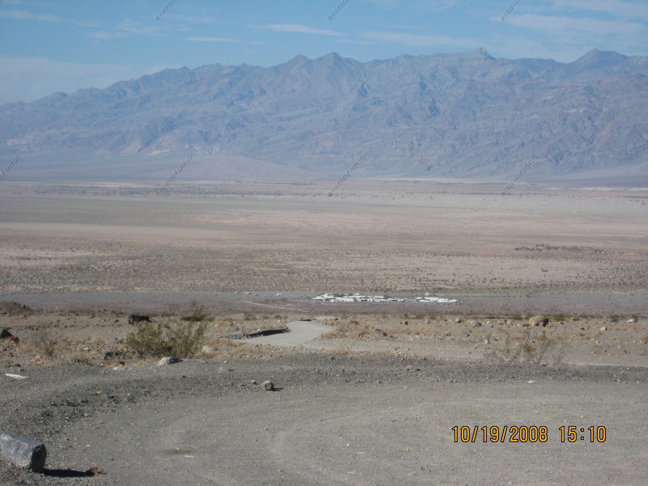
Next we went to Dante's View. It enjoys a general panoramic from Dante's View of the southern Death Valley basin. However it was hazy that day and we couldn't see Mt. Whitney.
We enjoyed the Devil's Golf Course, which is a large salt pan in Death Valley National Park, with a rough surface formed of large salt crystals. It was named after a line in a 1934 National Park Service guide book to Death Valley, which stated that "only the devil could play golf" on its surface.
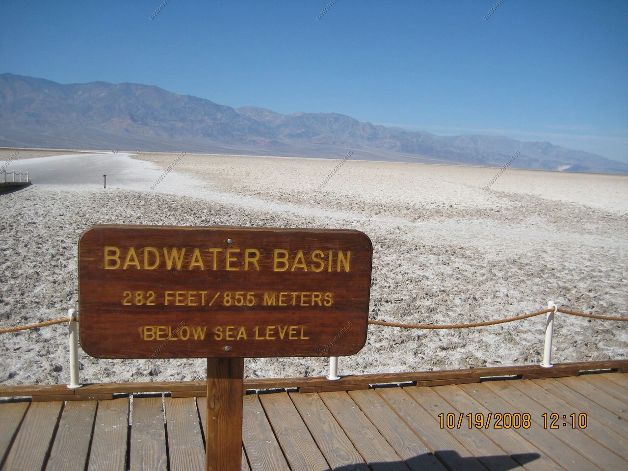
Badwater is a basin in California's Death Valley, noted as the lowest point in North America, with an elevation of 282 feet (86.0 m) below sea level.
The site itself consists of a small spring-fed pool of water next to the road; however, the accumulated salts of the surrounding basin make it undrinkable, thus the name "Badwater". The pool does have animal and plant life, including pickleweed, aquatic insects, and the Badwater snail.
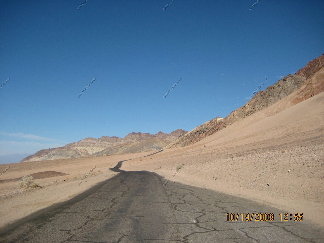
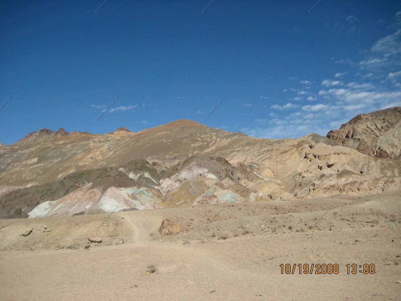
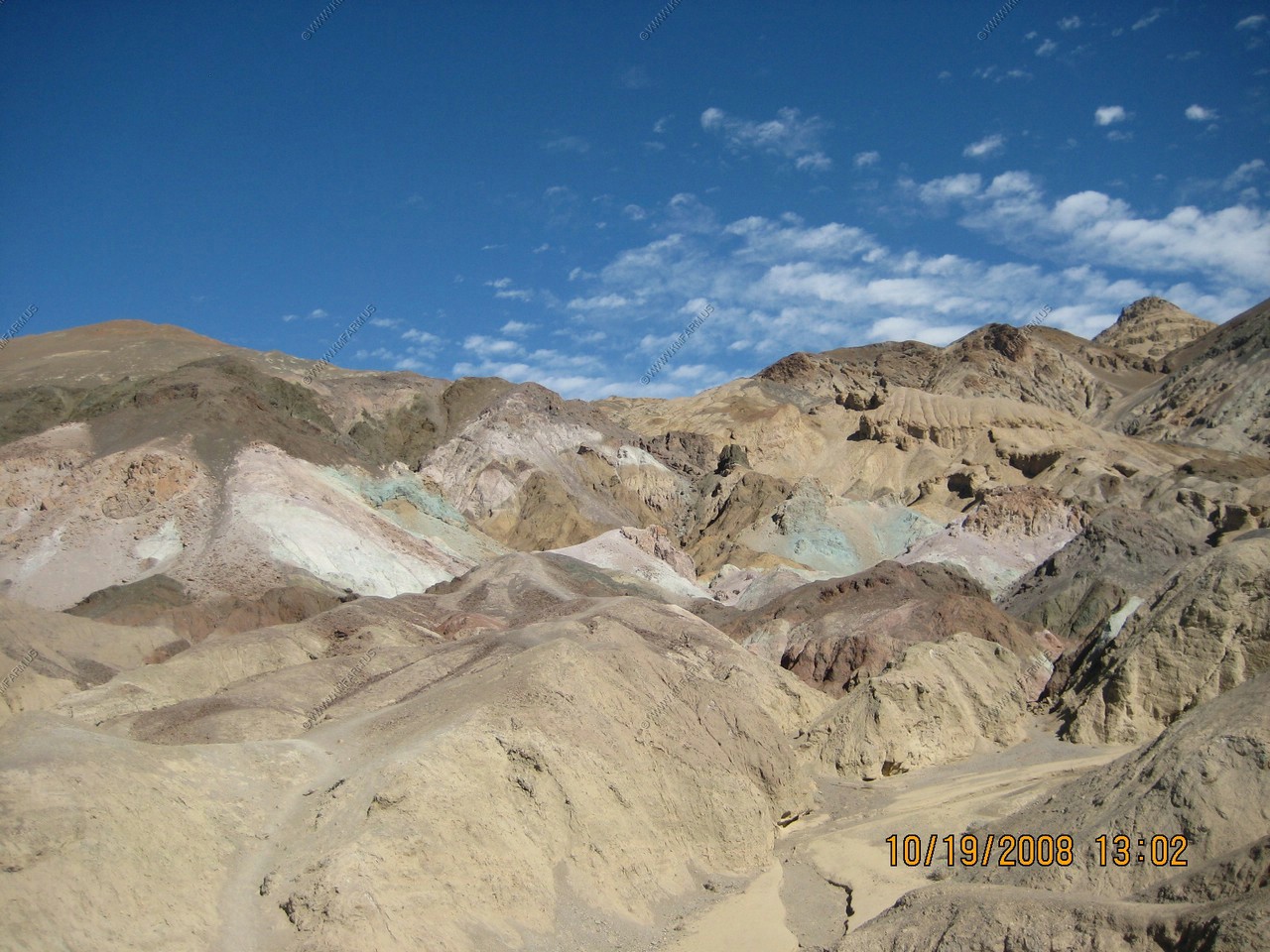
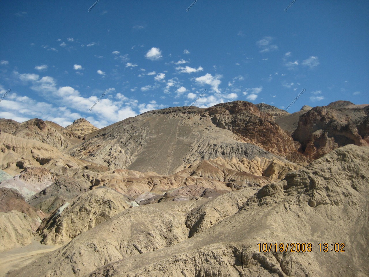
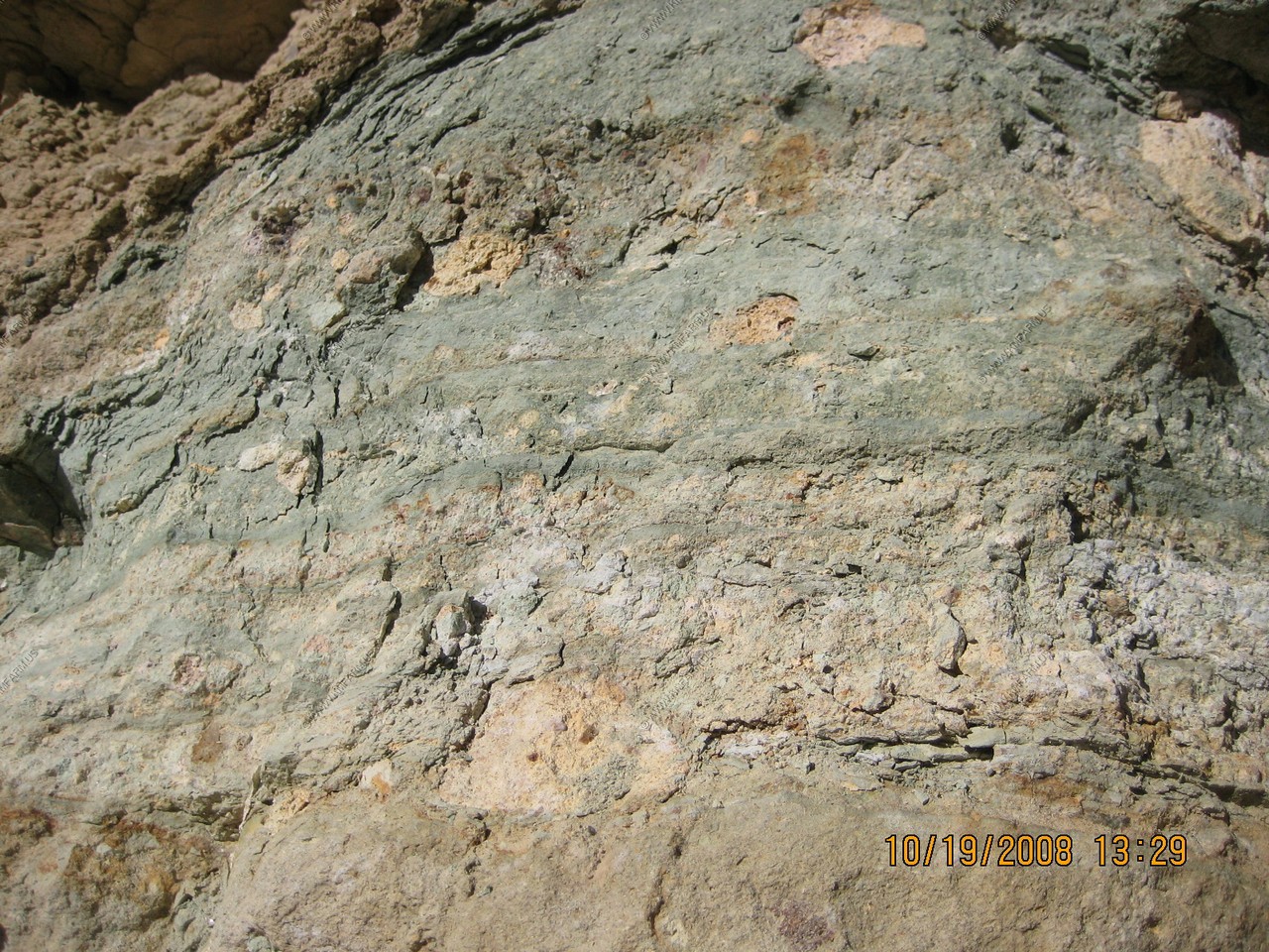
Artist's Drive rises up to the top of an alluvial fan fed by a deep canyon cut into the Black Mountains. Artist's Palette is on the face of the Black Mountains and is noted for having various colors of rock.
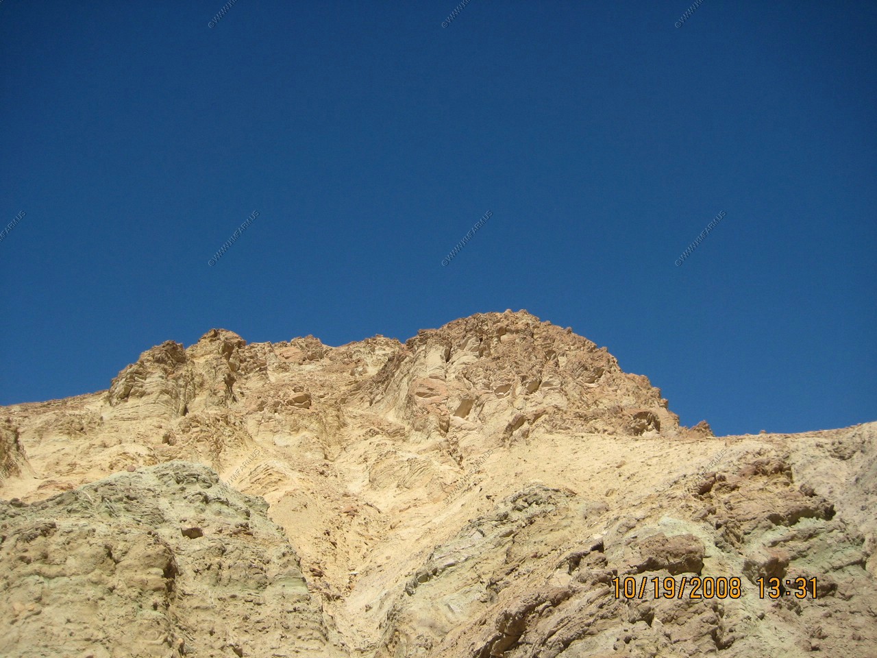
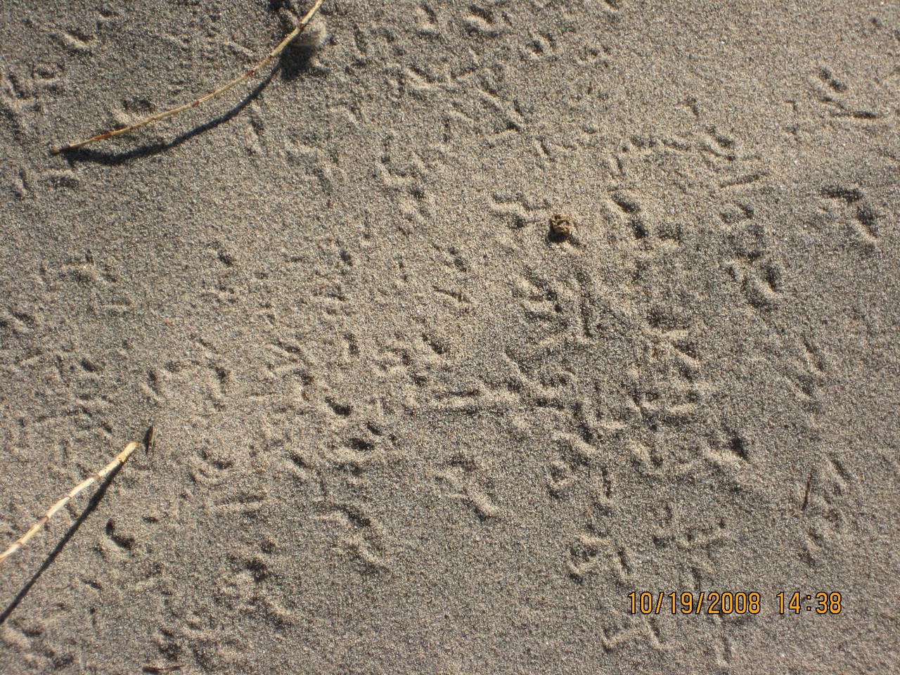
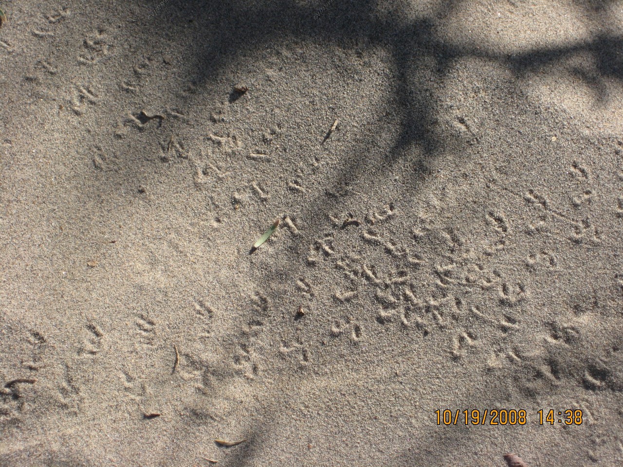
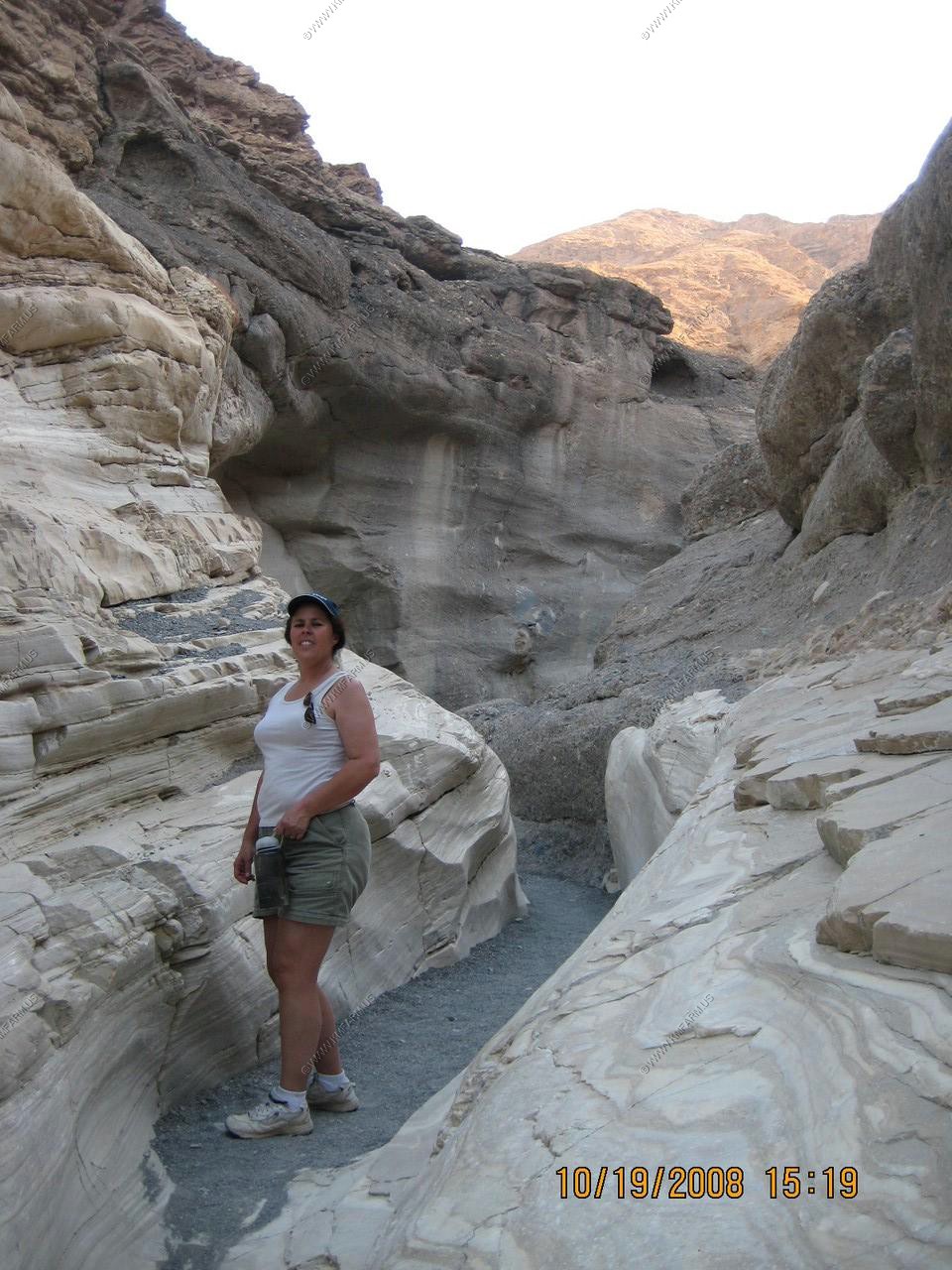
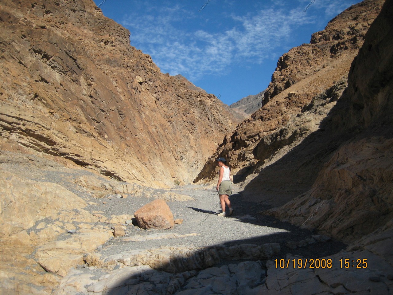
We went to Stovepipe Wells to walk on the sand dunes and look for animal prints. We saw lizard and bird prints. Our favorite hike in the park was in nearby Mosaic Canyon. It is a showcase of geological features as well as a beautiful example of one of Death Valley's many canyons. An easy walk leads into the canyon narrows where the surrounding rock walls are composed of smooth water polished marble.
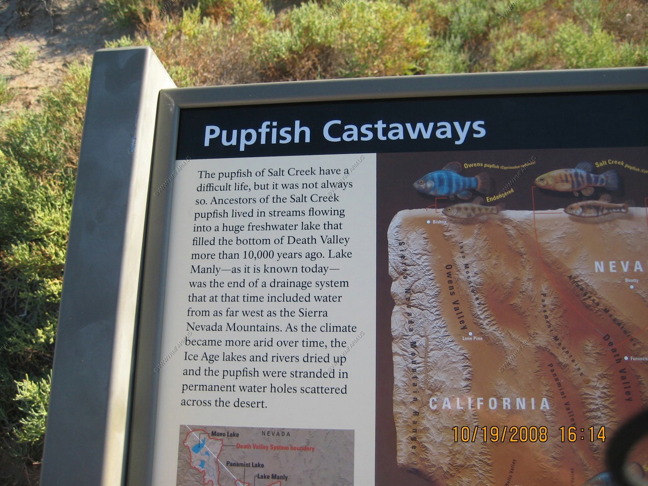
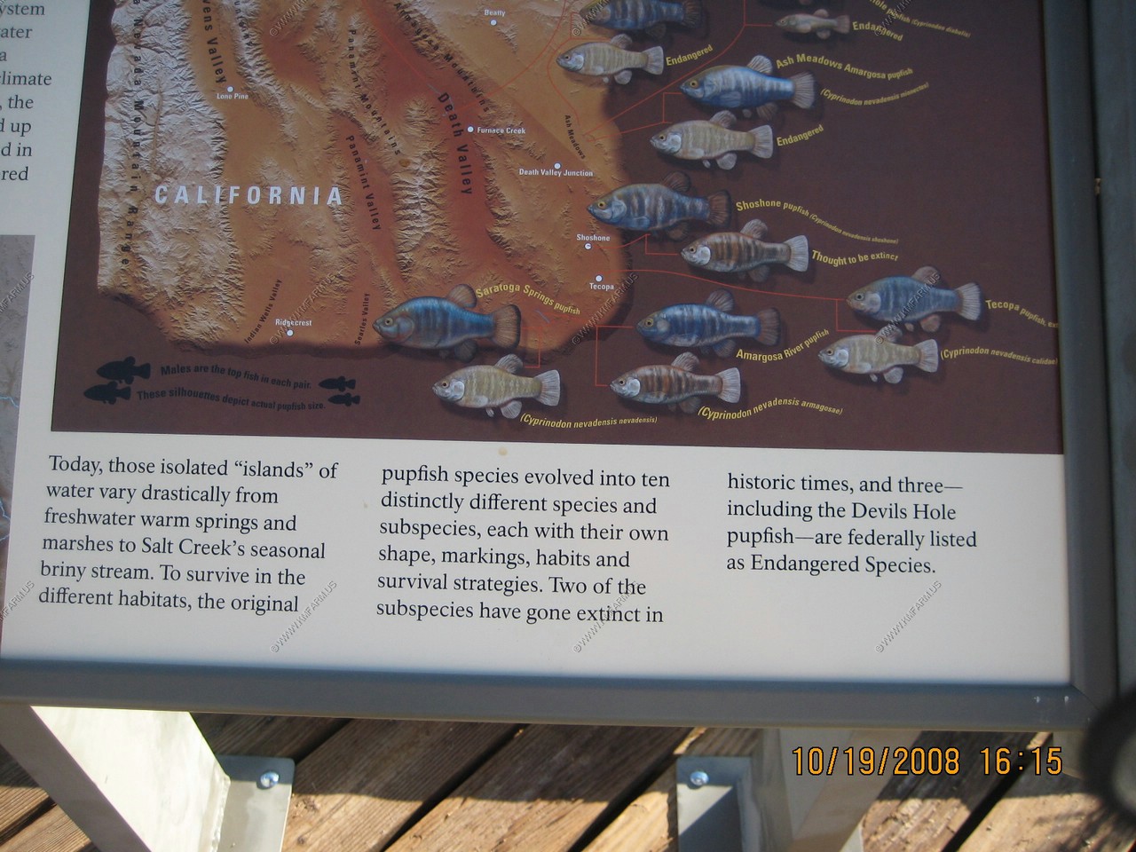
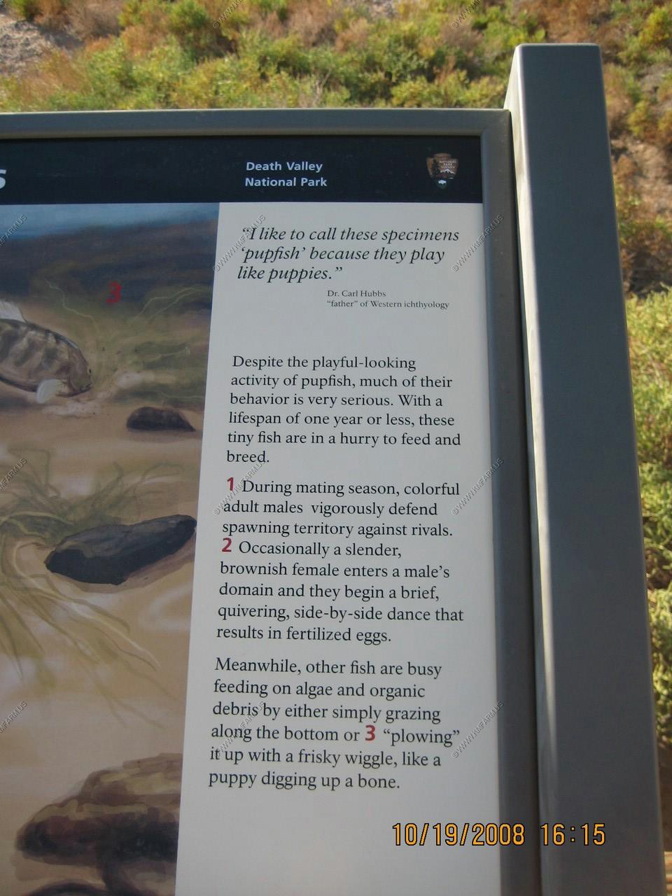
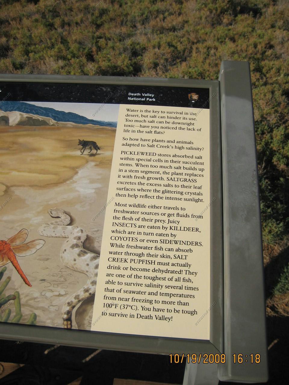
A boardwalk trail follows Salt Creek, which was only flowing in the mainstem. Salt Creek, Death Valley, is the only place where the Salt Creek Pupfish, sometimes apparently referred to in error as Desert Pupfish (C. macularius) live. Once a lake bed, which receded and dried up, all that remains is a heavily salted vestige of the original aquatic habitat. As the lake dried up, many species of aquatic life were isolated or became extinct.
After dinner at Wrangler Steakhouse, which was good, but expensive, we went to look at stars. Ken had a Lobotomy Bock beer brewed in the high desert. This smooth rich dark southern German dobblebock is an Indian Wells Brewing Co. favorite. This 10.8% beer is powerful, but VERY easy to drink! We saw several coyotes on the road eating bugs. They also utilized our headlights to catch moths. We also saw a kangaroo rat in the headlights.
Highly varigated and colorful landscape surround. Easy short walk up to vista.
Dante's View
Elevation 5,475 feet above sea level. 5,755 feet above Badwater Spring. This ridge line in the Black Mountains (a spur of the Amargosa Range) separates Death Valley on the west from Greenwater Valley to the east. From here one can see the lowest point in the United States almost directly below.
Telescope Peak can also be seen from here which is 11,331 feet above sea level. This is the greatest topographic relief in the conterminous U.S.
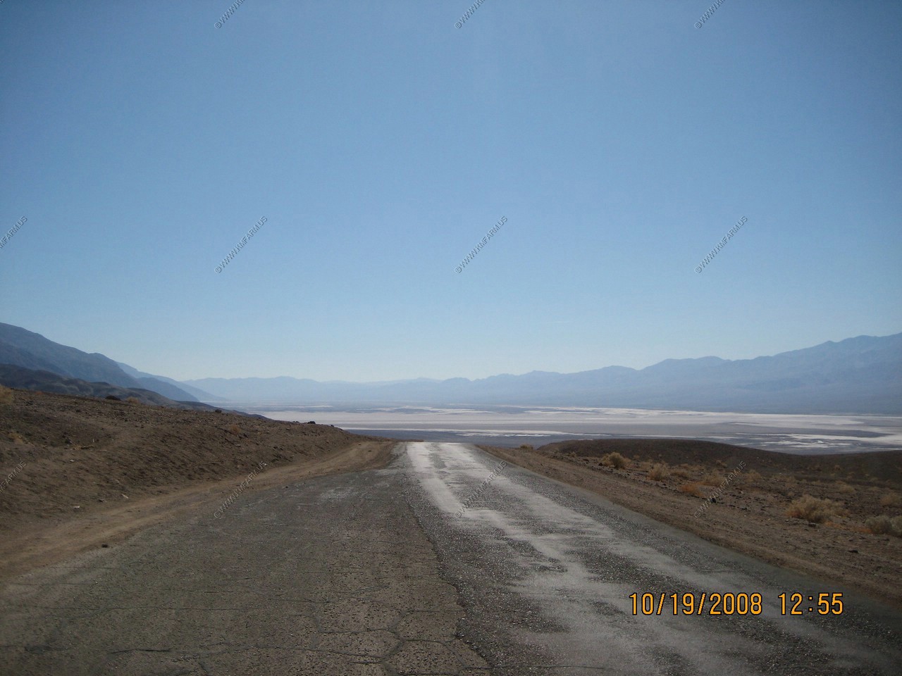
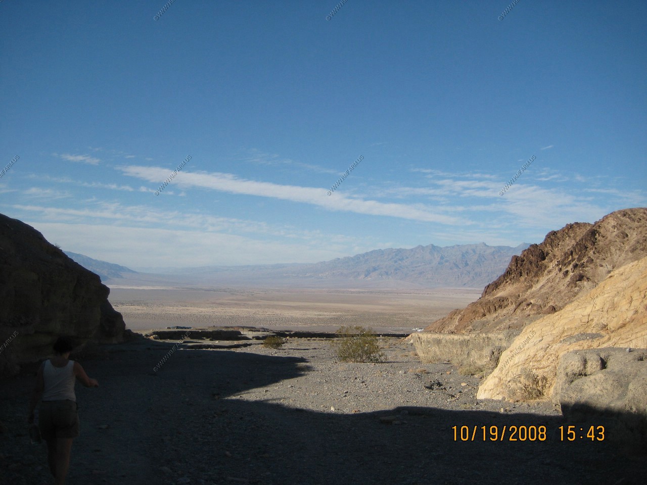
Looking back up toards Furnace Creek
The road going around the alluvial fan
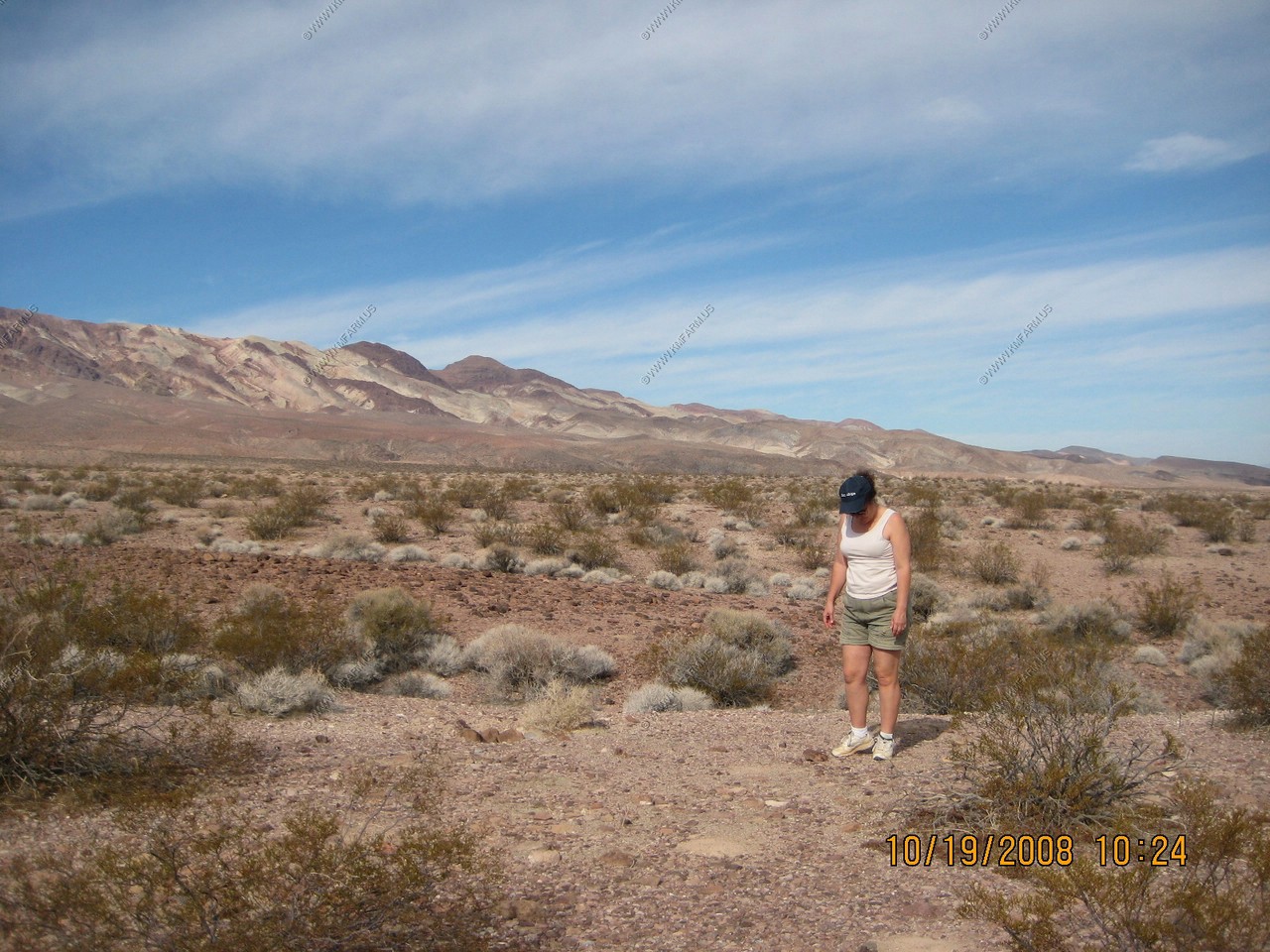
We stopped along the road to kick some rocks to see what we could find critter wise. Nothing...
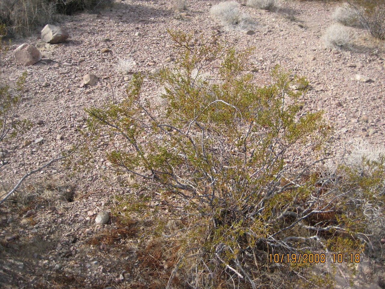
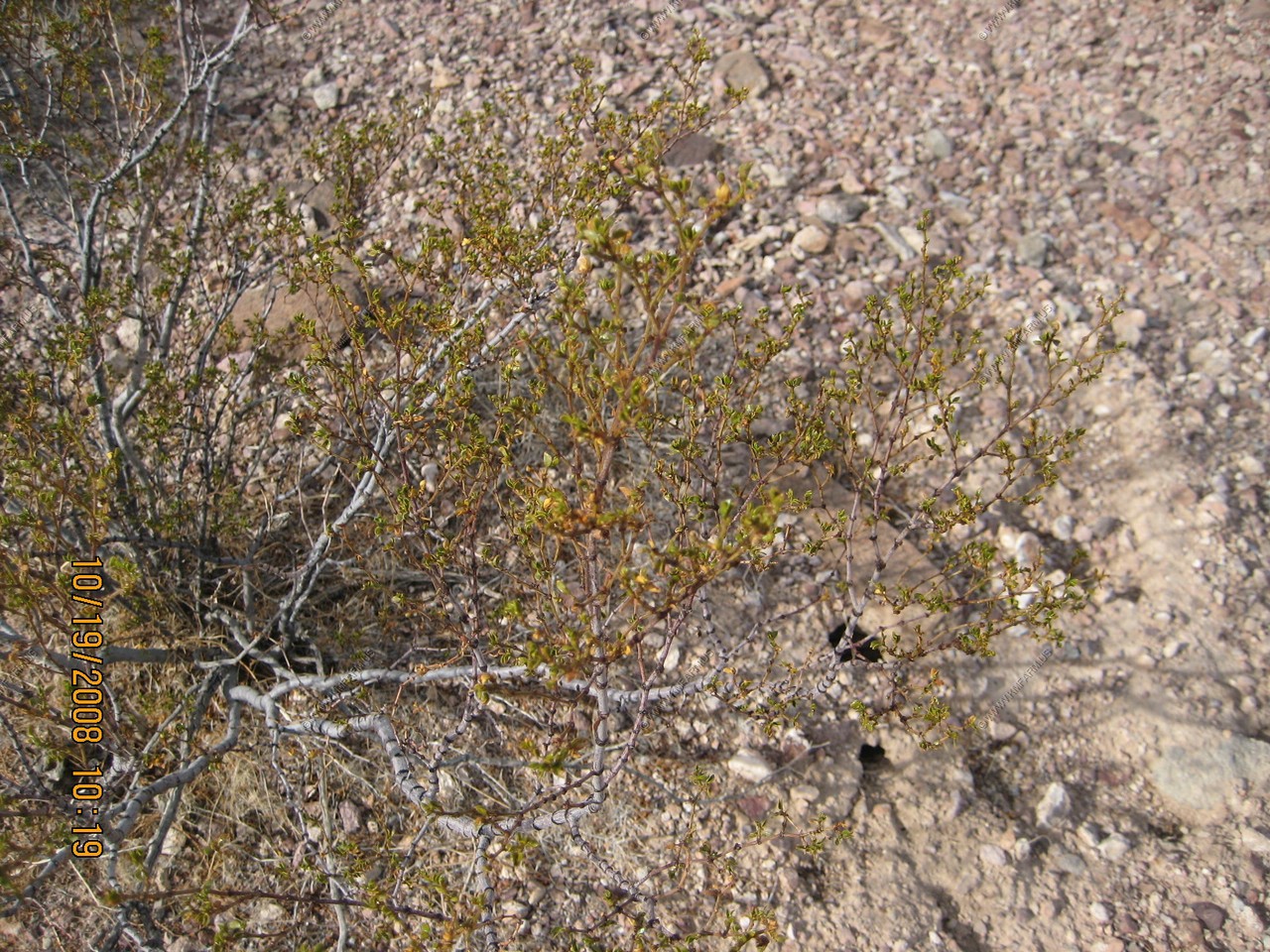
Creosote Bush, Larrea tridentata
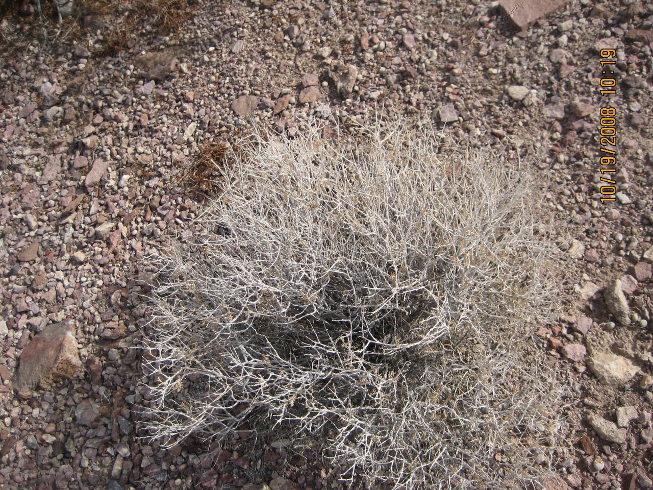
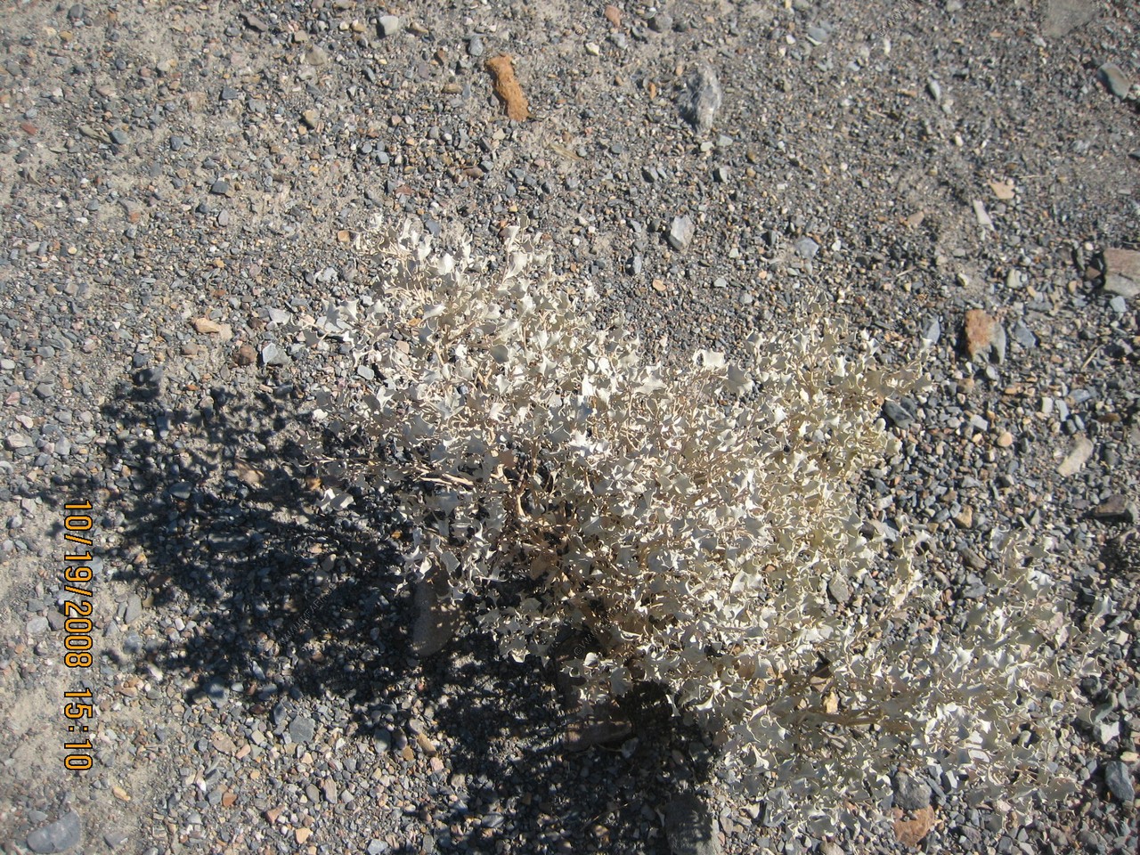
Unknown ?
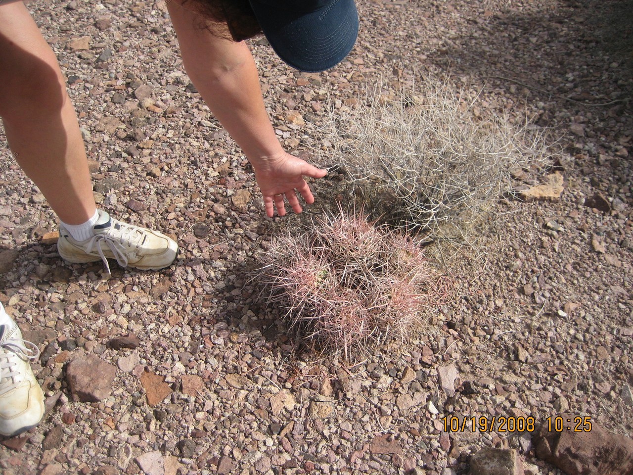
Mary takes up the sport of cactus petting
Unknown ?

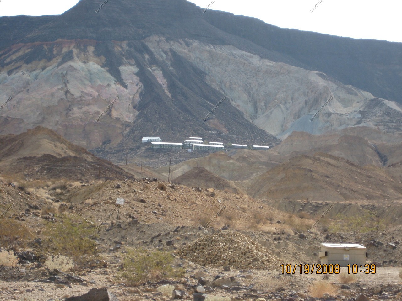
Ryan, California - Borax mine served by the Death Valley Railroad.
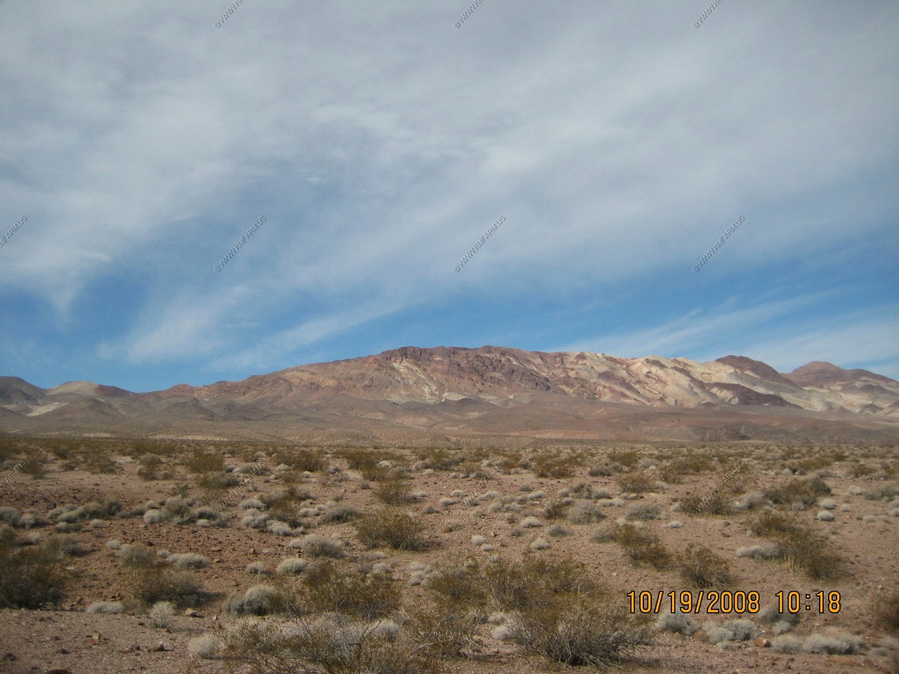
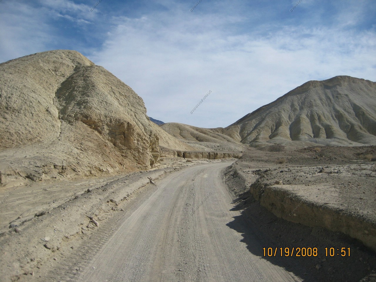
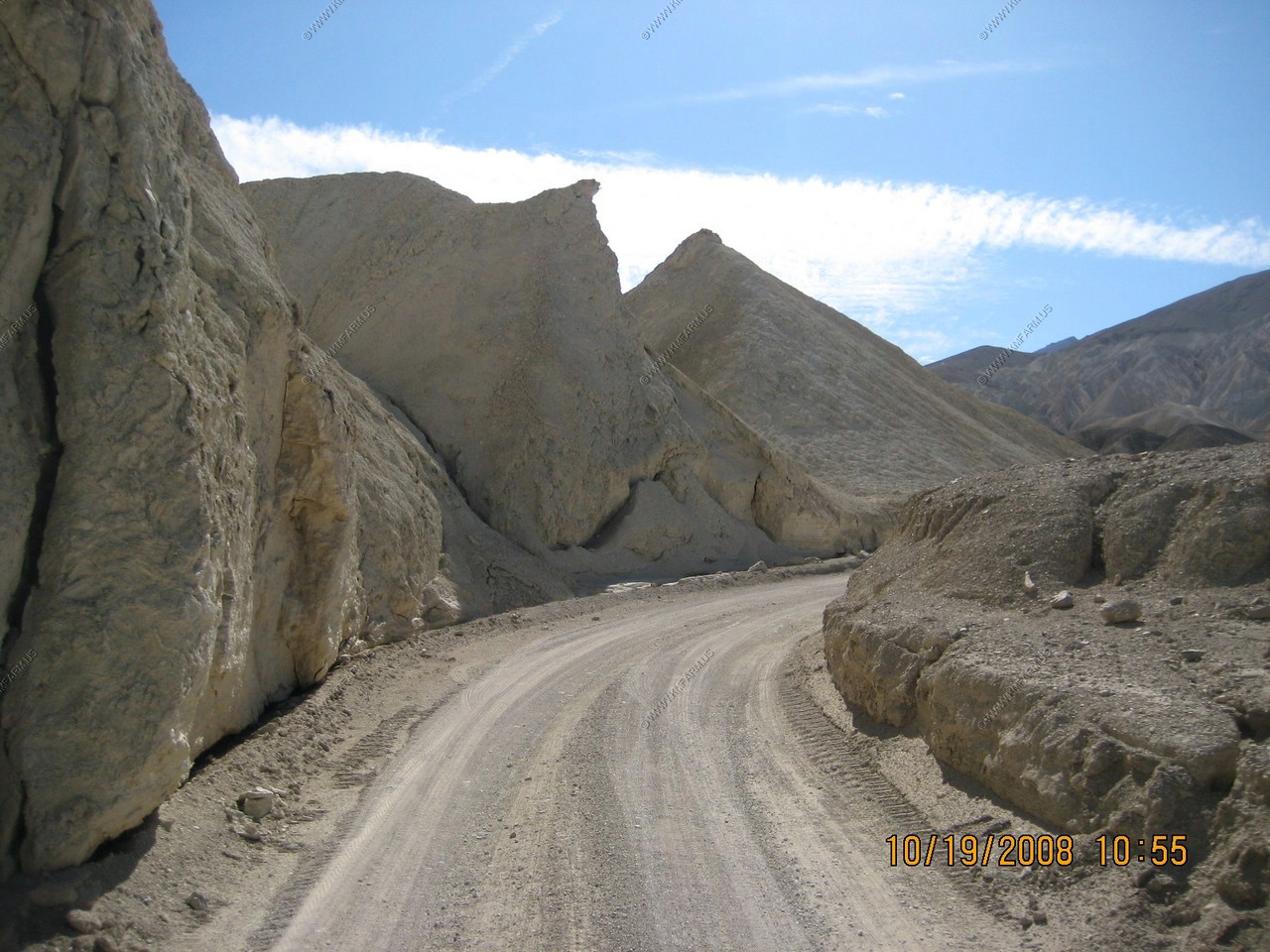
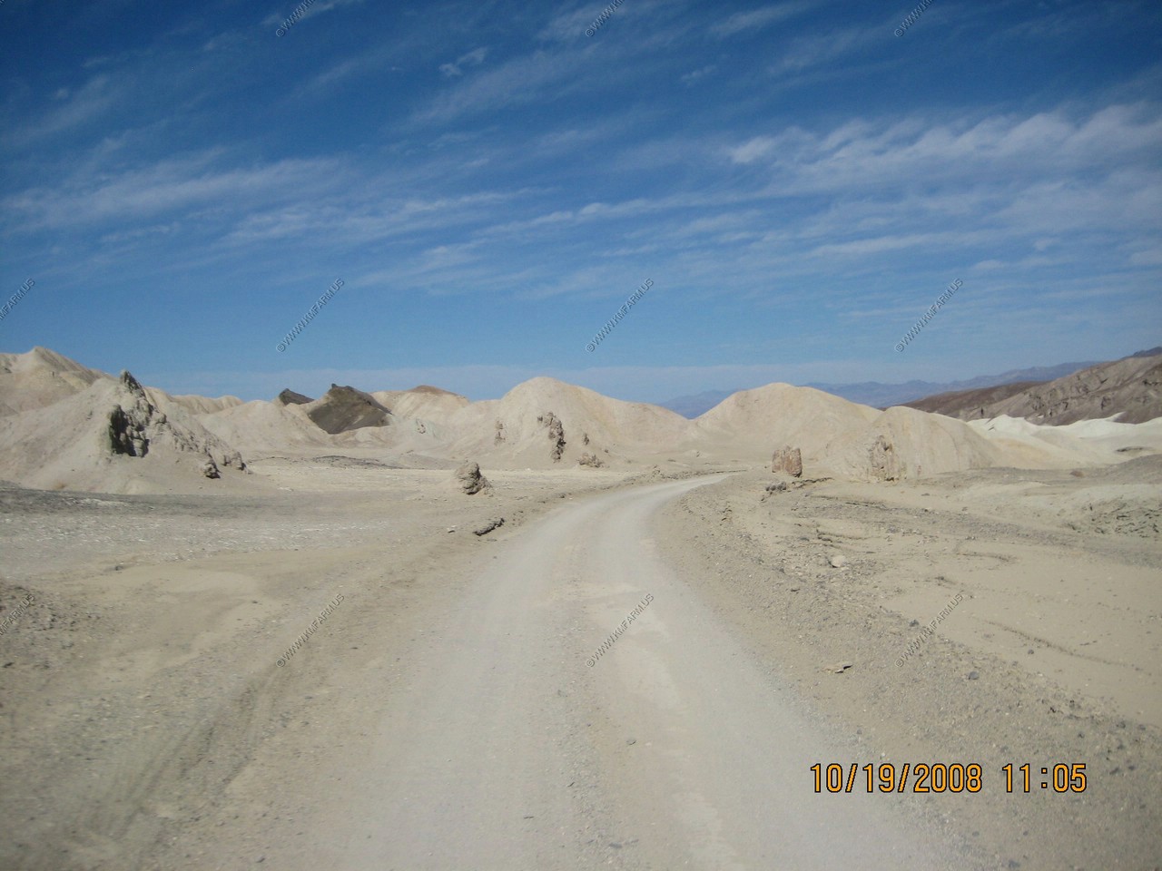
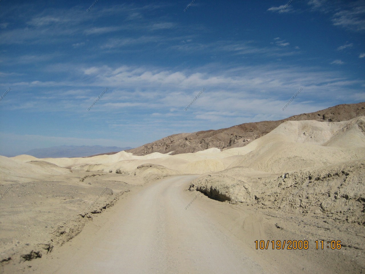
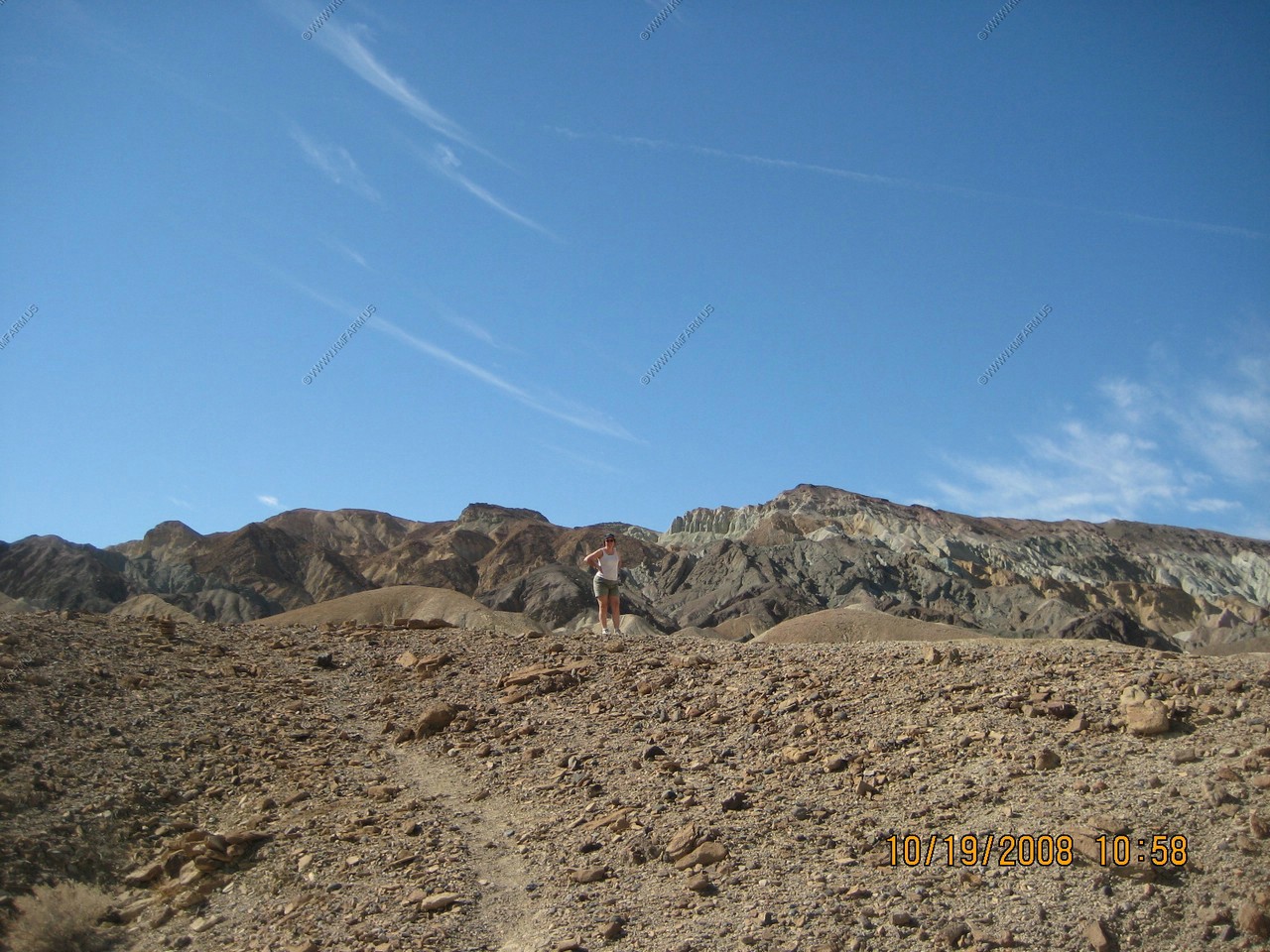
20 Mule Team Canyon
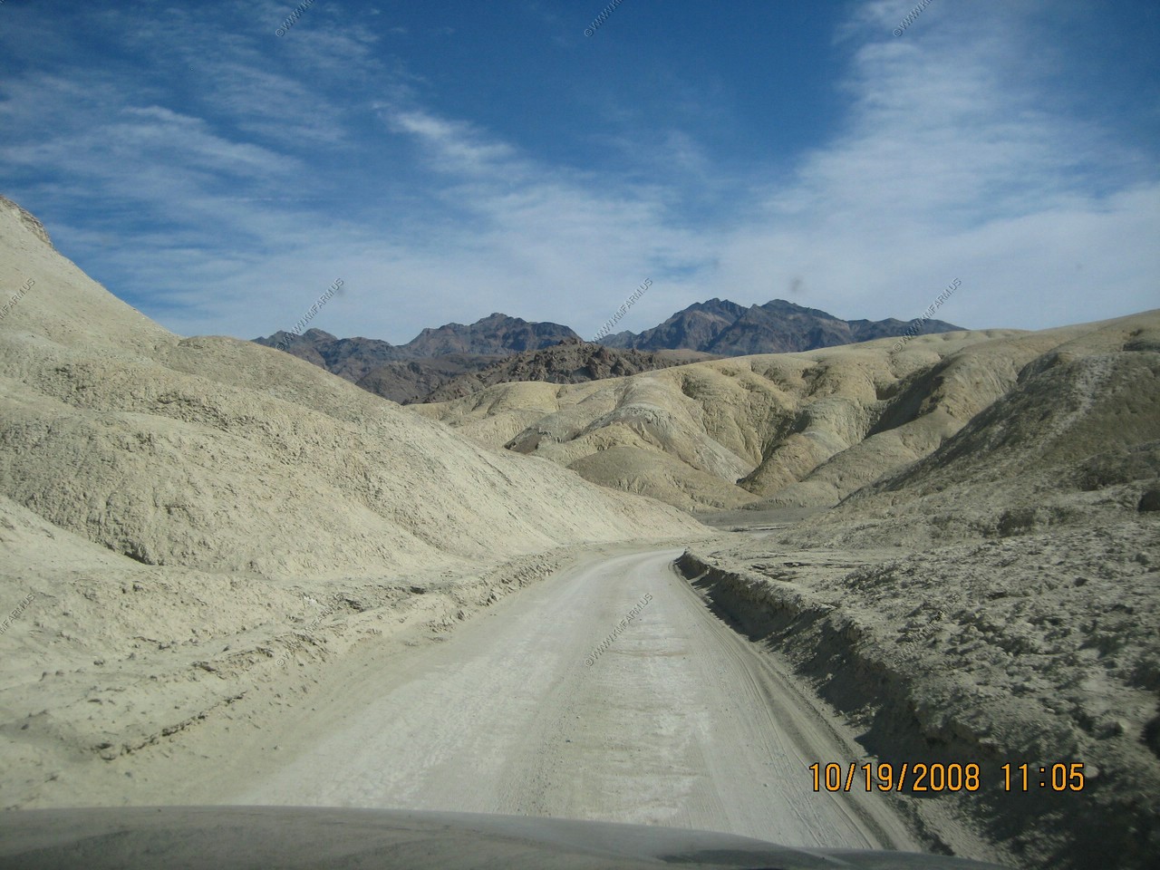
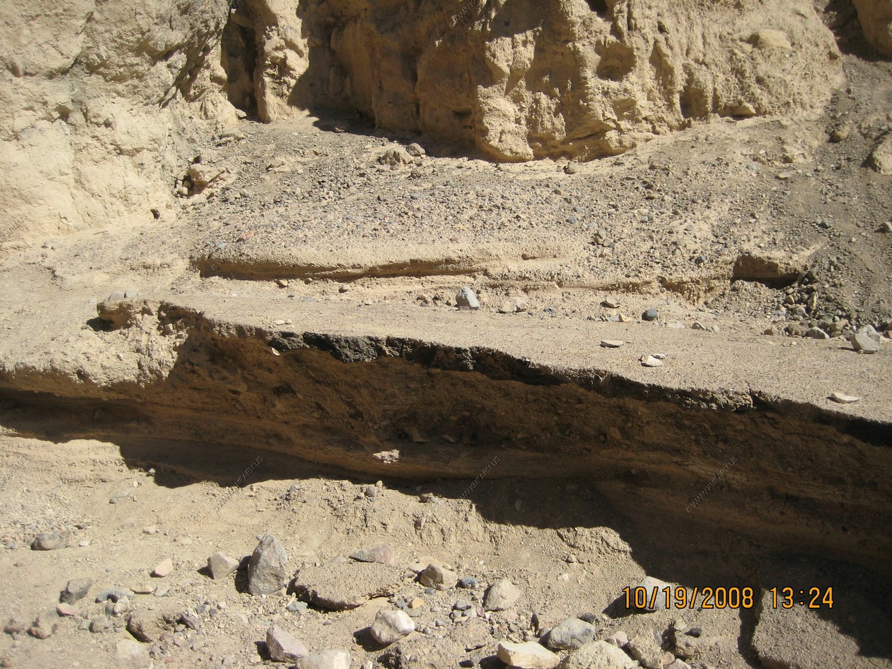
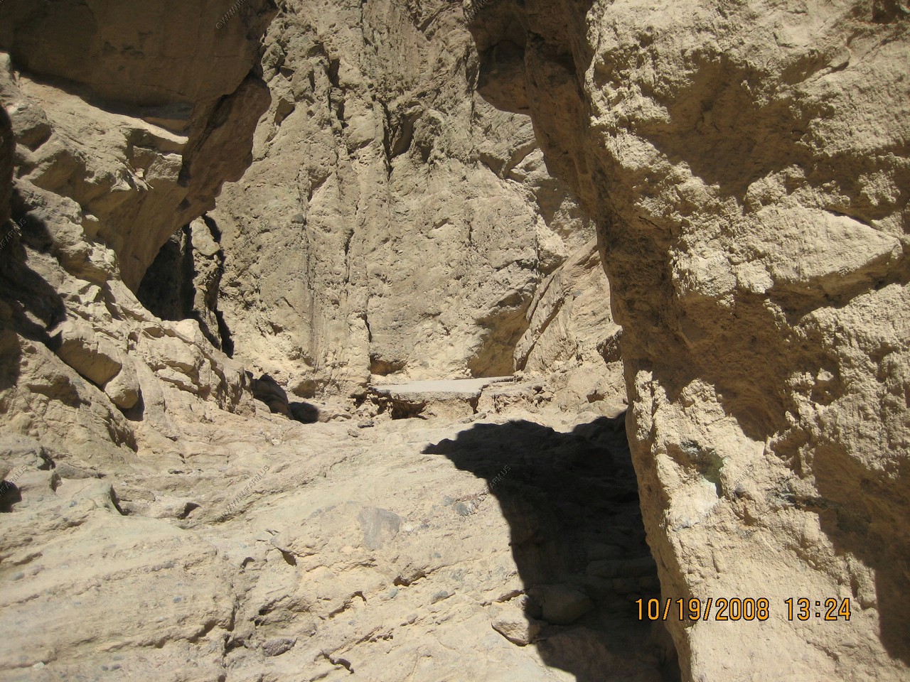
About a mile southeast of Zabriskie Point a narrow, one-way road off state highway 190 meanders through some of the most striking scenery in the Death Valley region. Surrounding this short drive are deeply-eroded hills composed of colorful sediments which have been tilted up from their former horizontal position at the bottom of a long, shallow lake basin that once extended northwest across what is now central Death Valley. Despite the canyon's name, those famous 20-mule team borax wagons never used this narrow route out of Death Valley, although many smaller teams hauled freight along it. A boarding house built for the comfort of the borax miners and teamsters remained standing on this road until the 1950s.
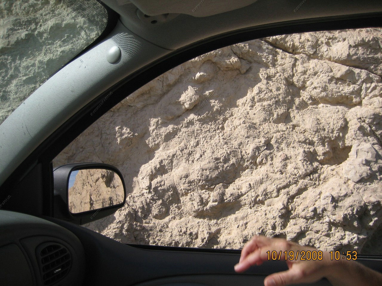
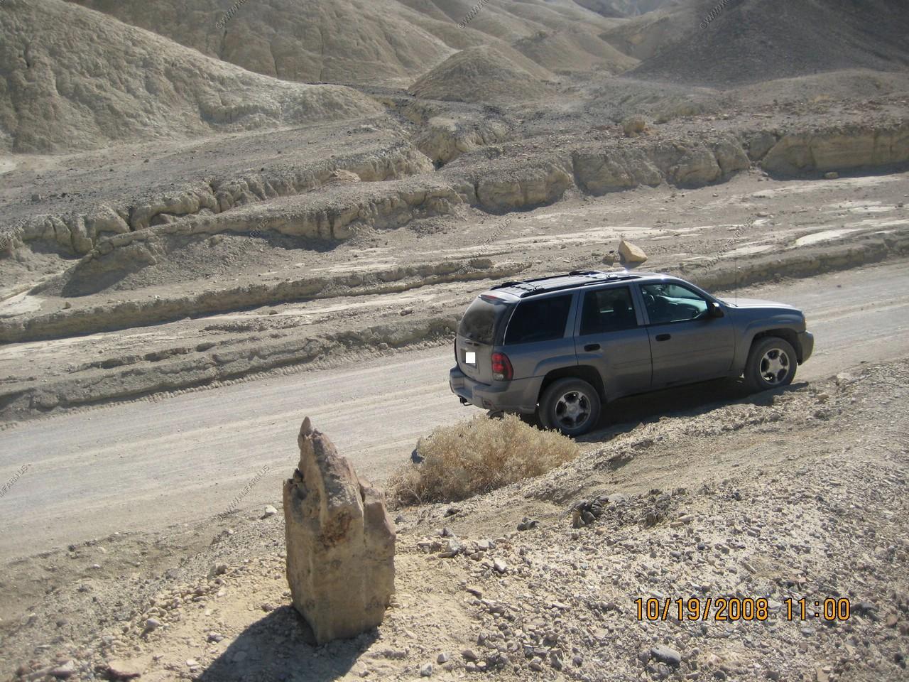
A bit close in a few places
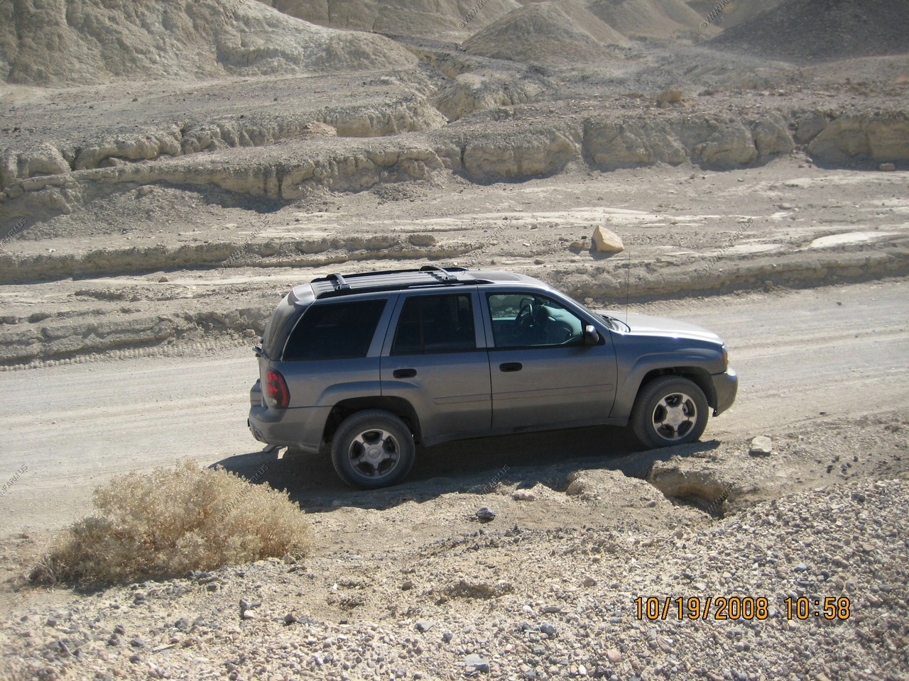
The trailblazer is holding up.
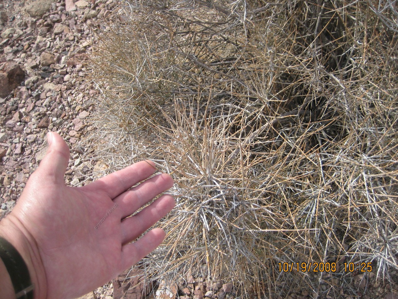
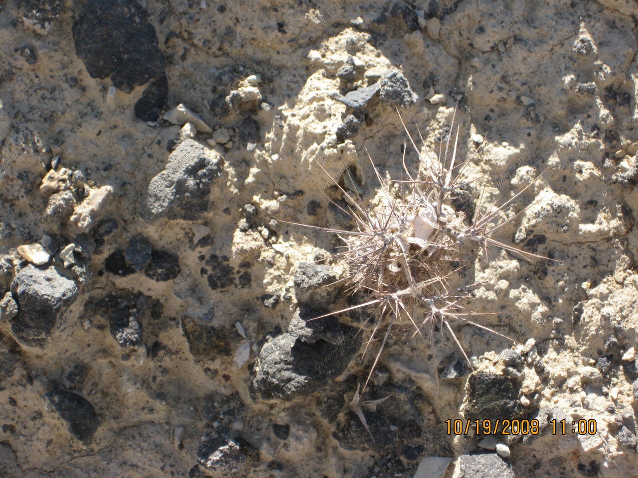
These small pricker things were everywhere.
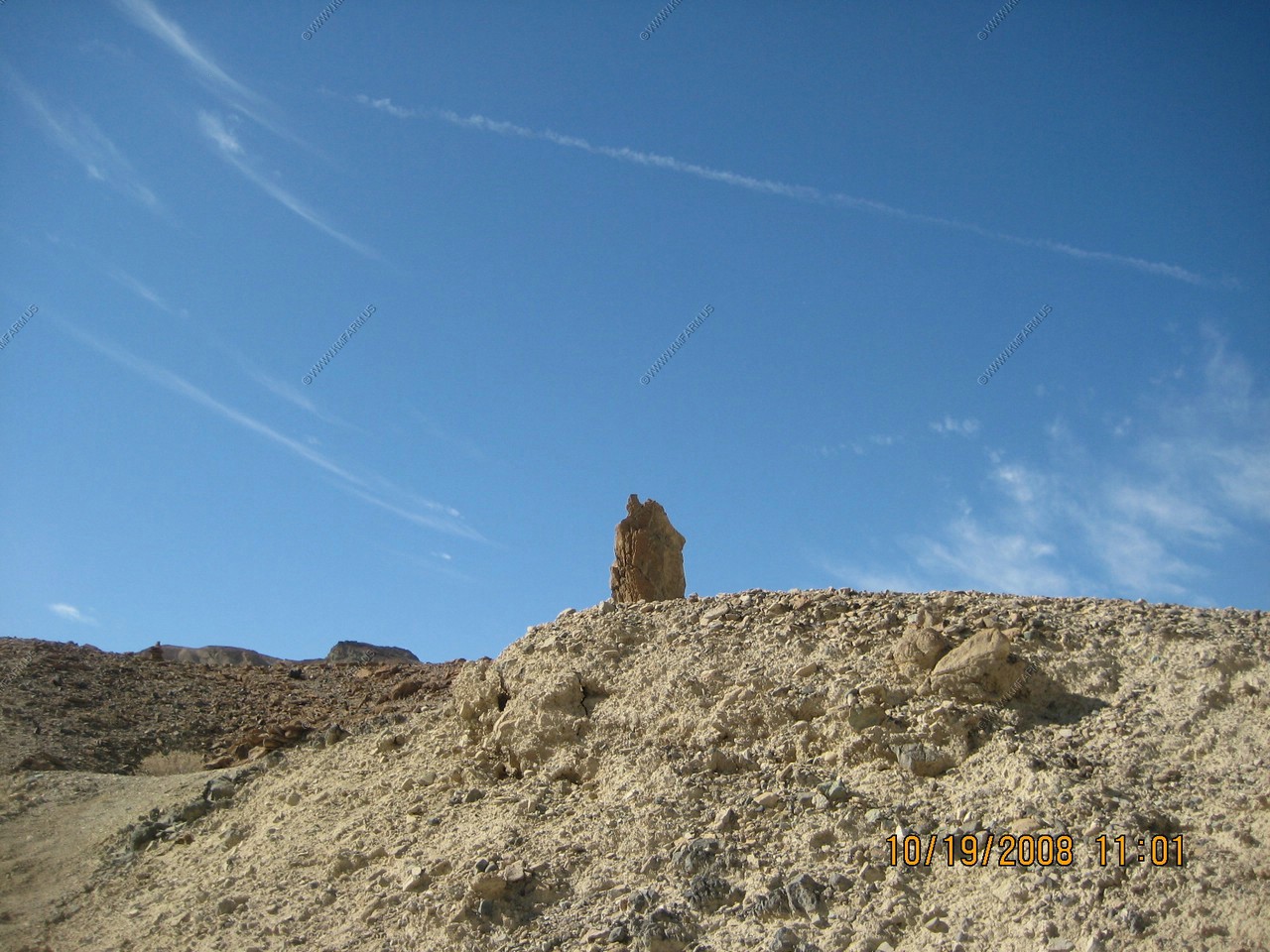
Ken makes his monument. A few minutes later someone drove buy and took a photo of it !
Heading south on Badwater Road. Oh the traffic !
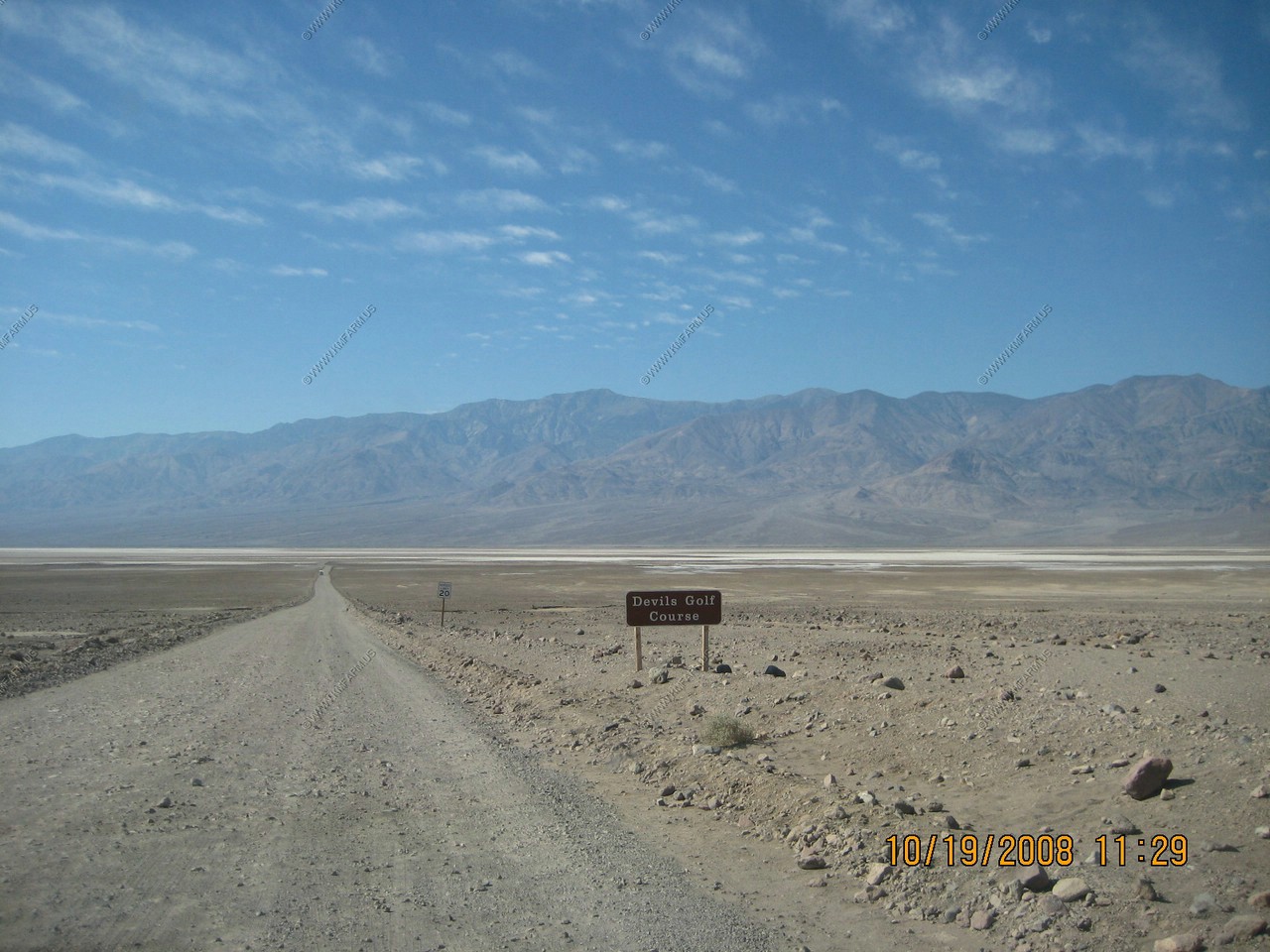
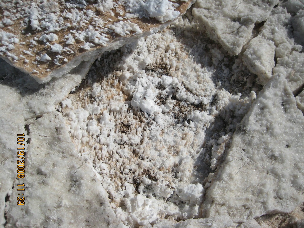
Devils Golf Course
Very interesting place as it makes all sorts of noise on a sunny day.
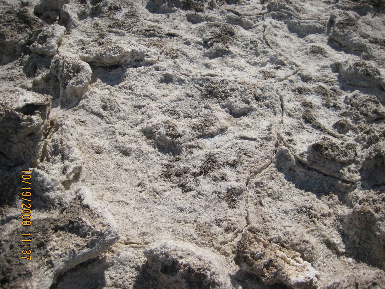
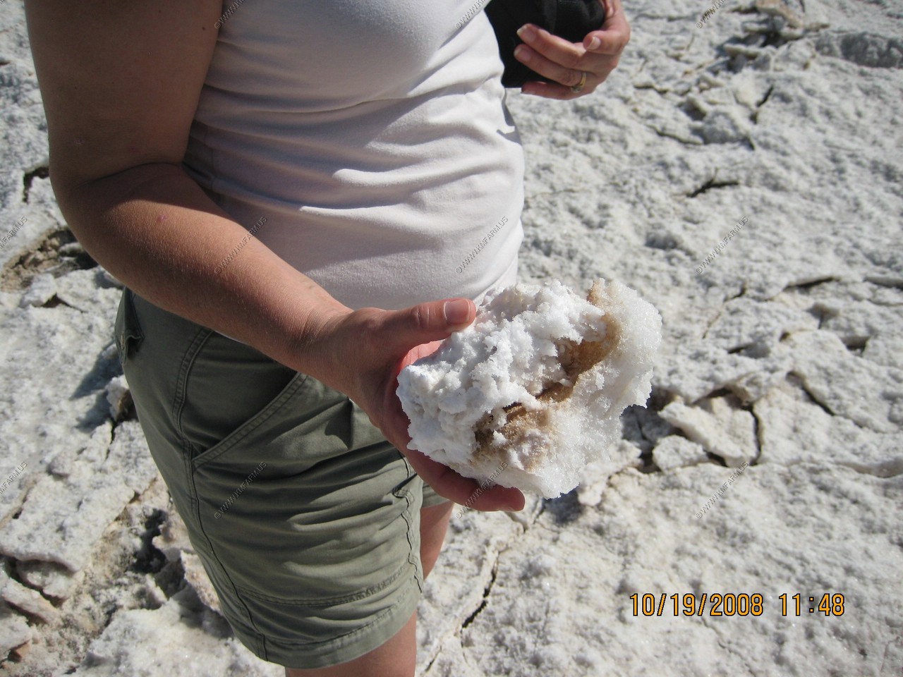
The Devil's Golf Course is a large salt pan in Death Valley National Park, with a rough surface formed of large salt crystals. It was named after a line in a 1934 National Park Service guide book to Death Valley, which stated that "only the devil could play golf" on its surface. This area is high enough that the periodic floods don't smooth it out. The lumpy surface is formed when salty water rises up through the mud. As the water evaporates, it leaves little pillars of salt behind.
Heading in on a well maintained dirt road.
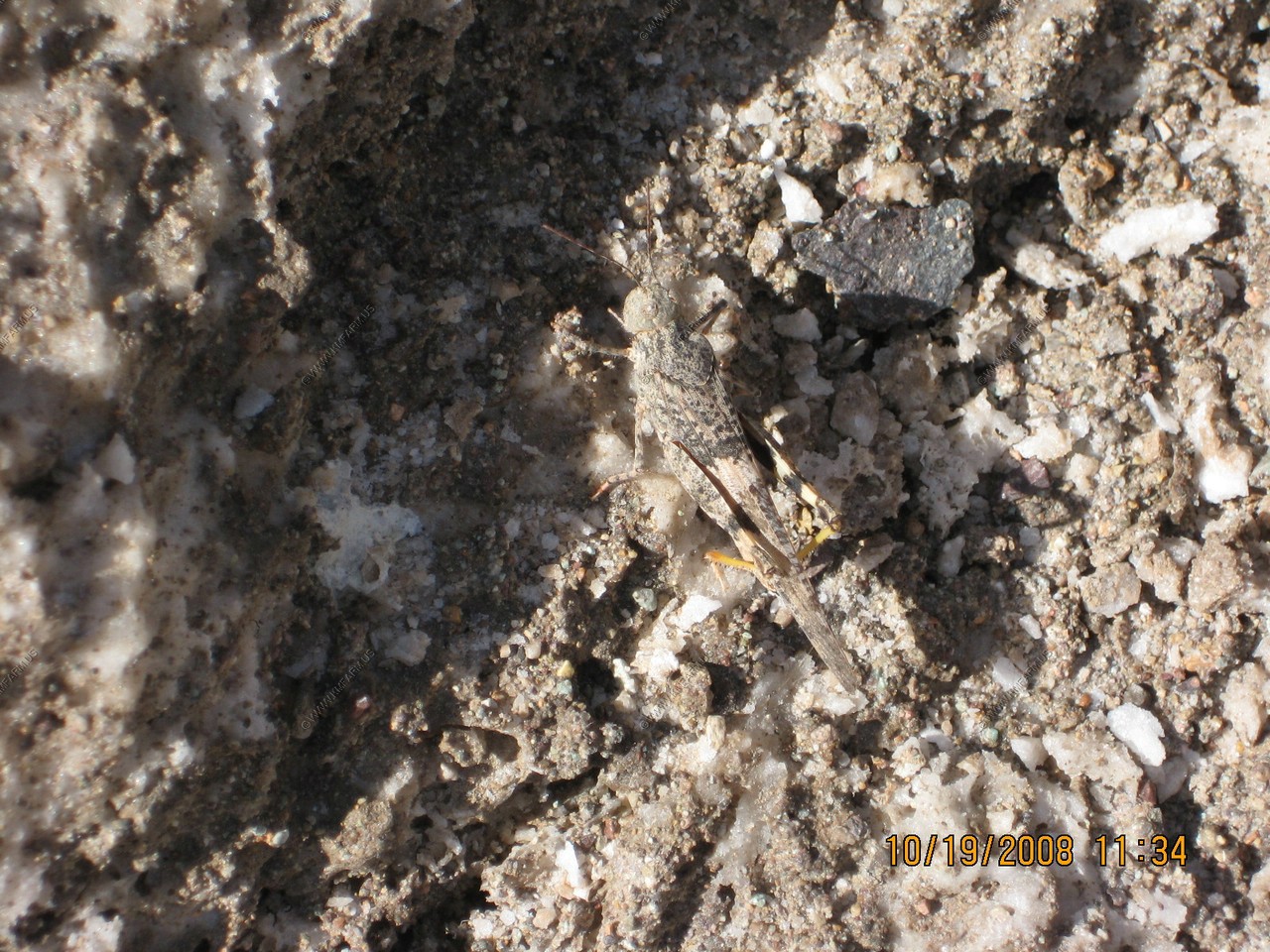
Grasshopper in the salt
Interesting that the salt is arranged into hexagons like what we saw a Devils Postpile National Monument
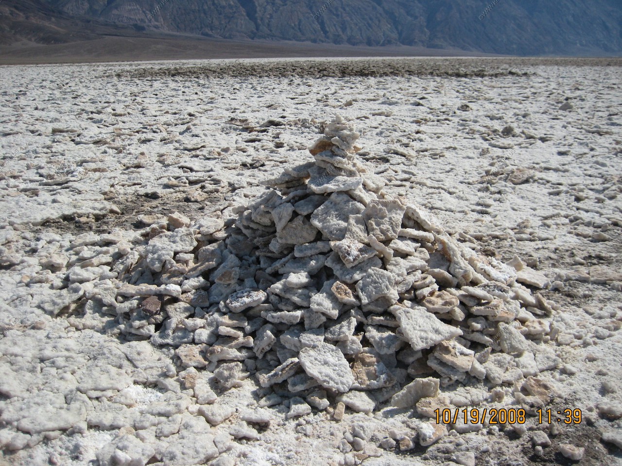
Had to add to the pile
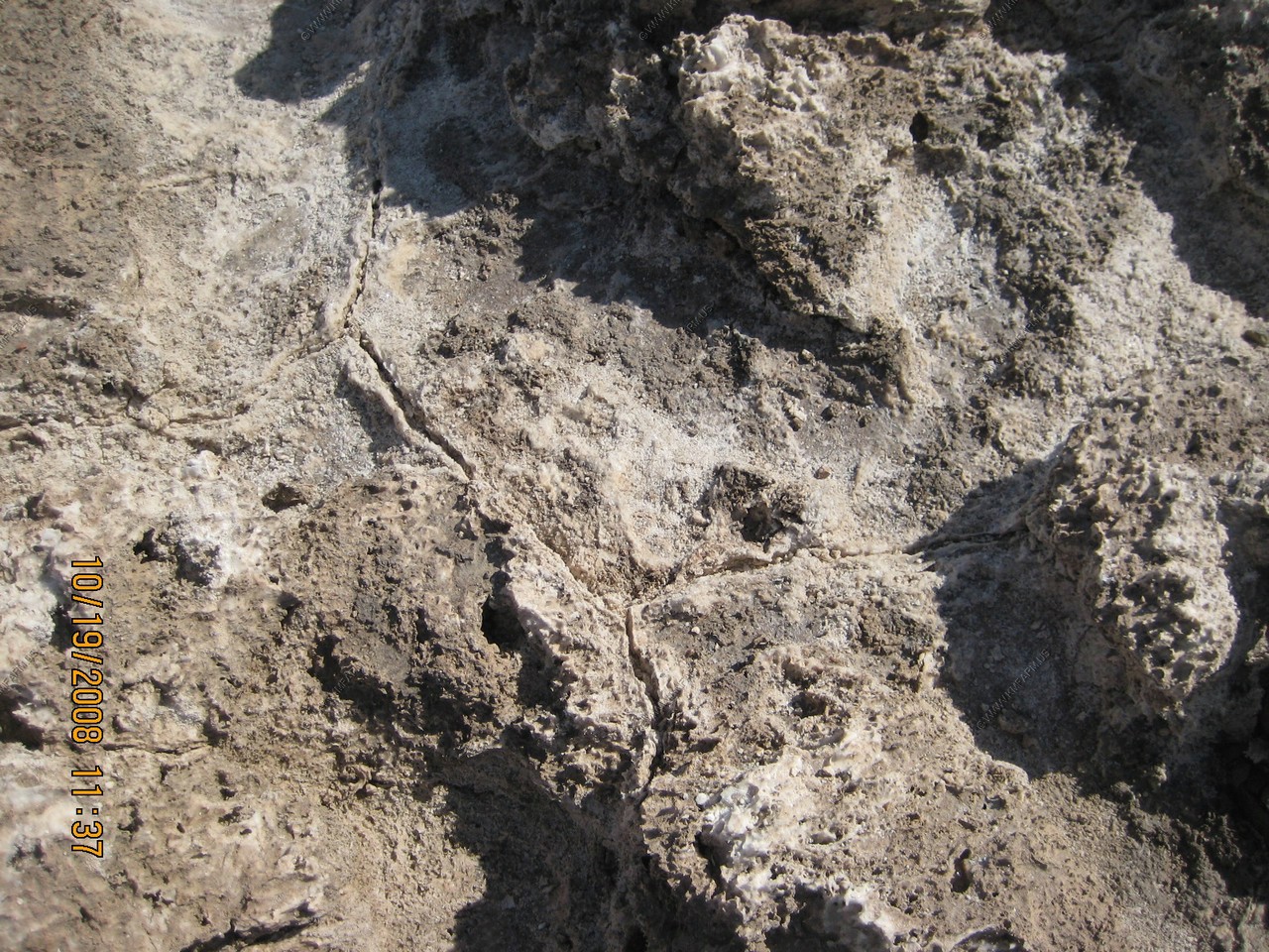
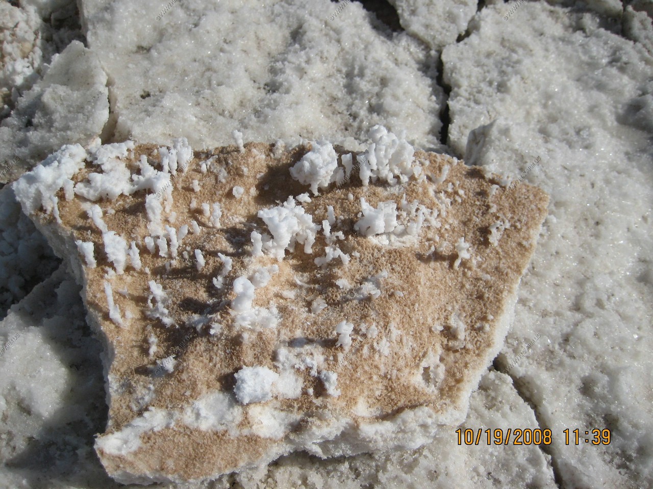
Interesting crystals under the top layer.
A bus a few miles away on the main road. This gives you a idea of the scale.
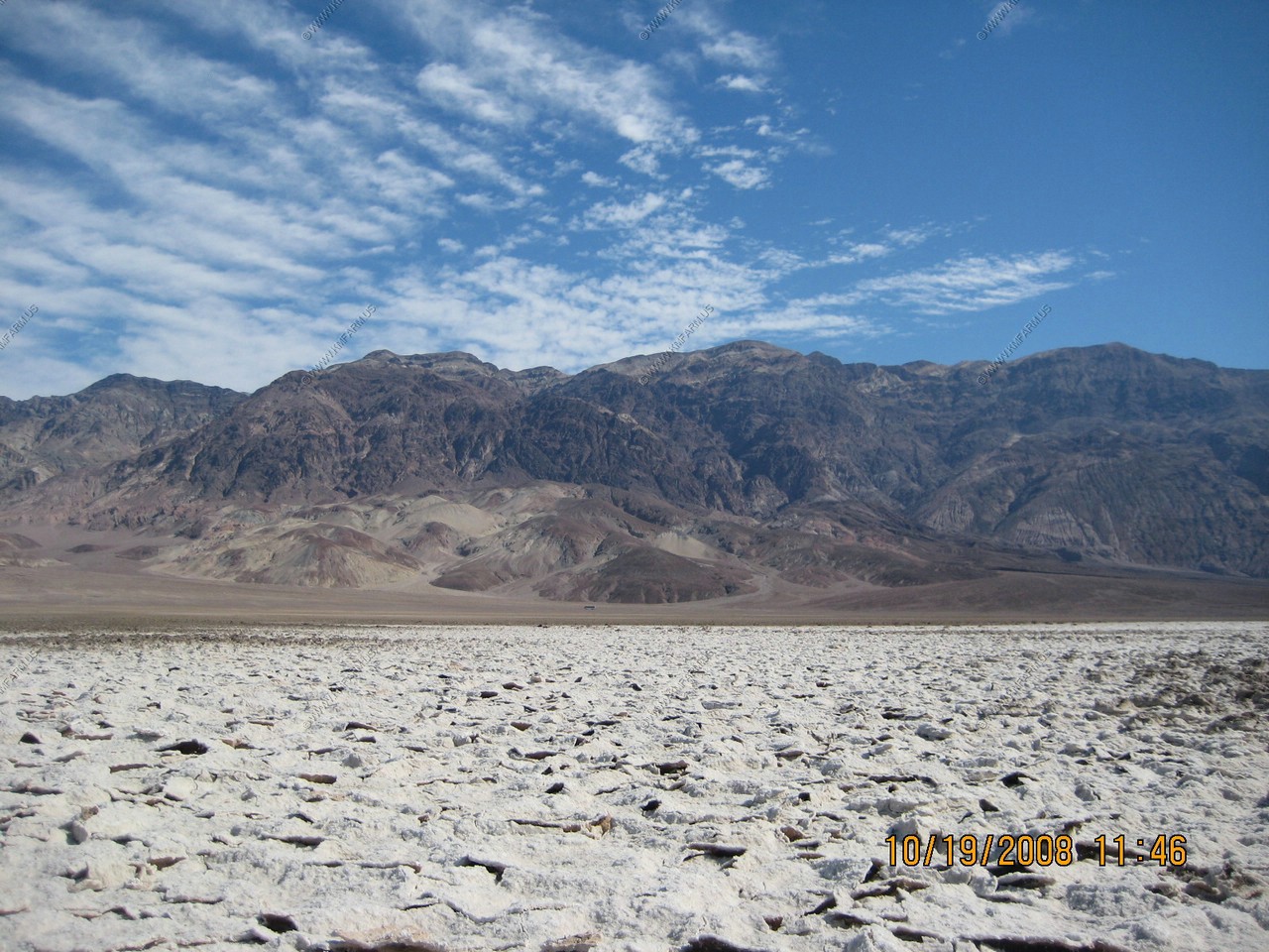
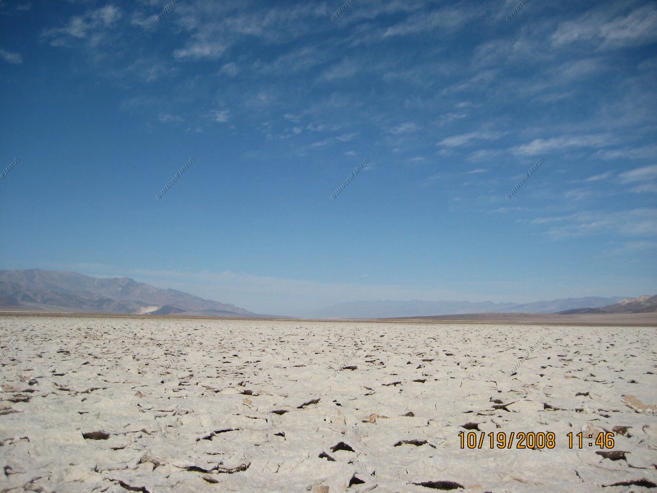
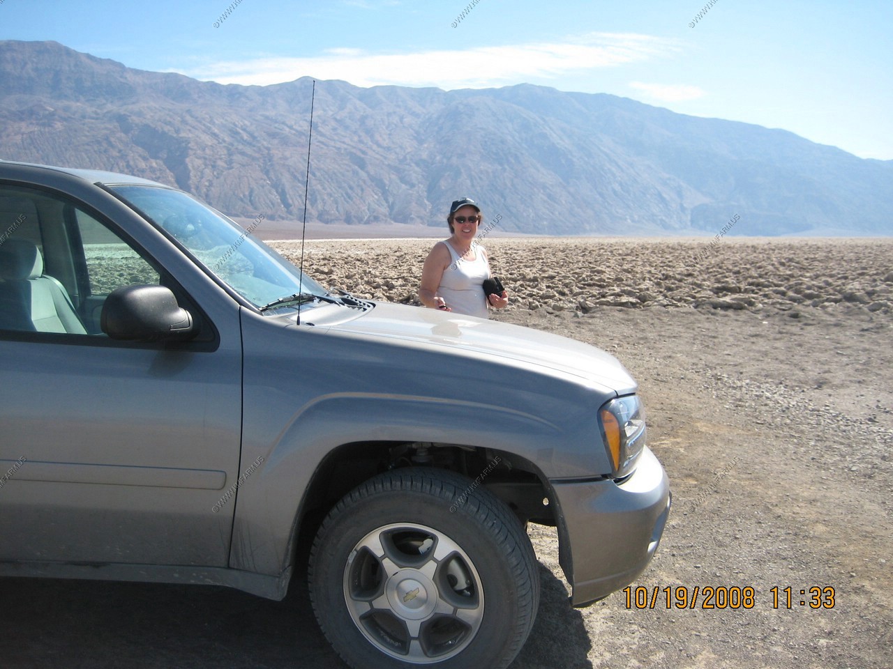
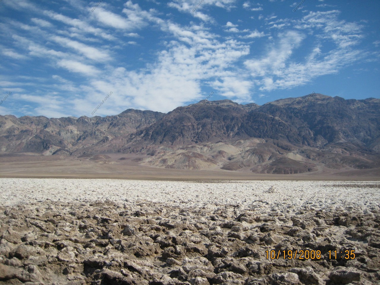
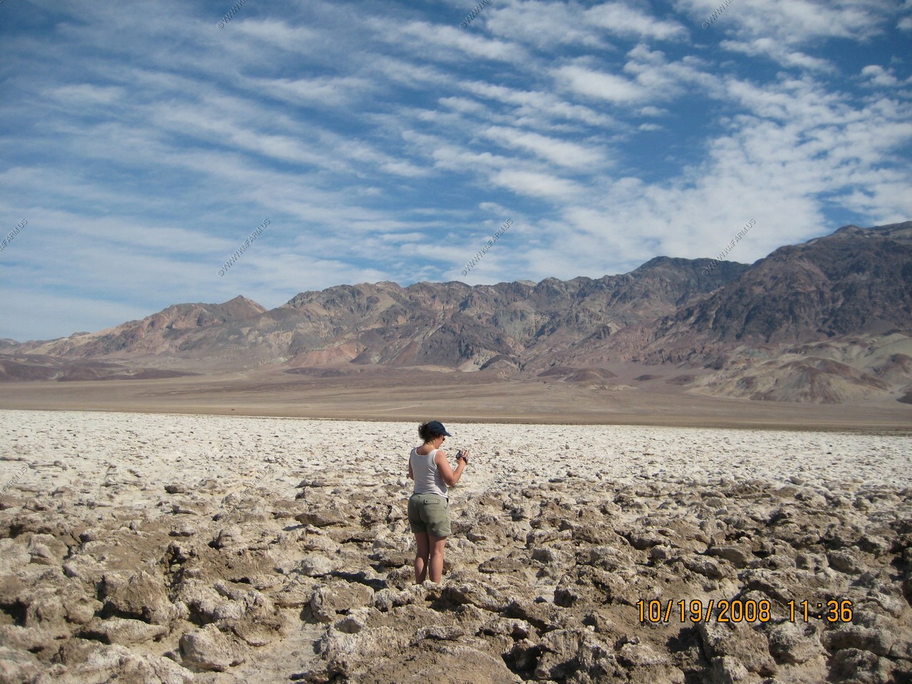
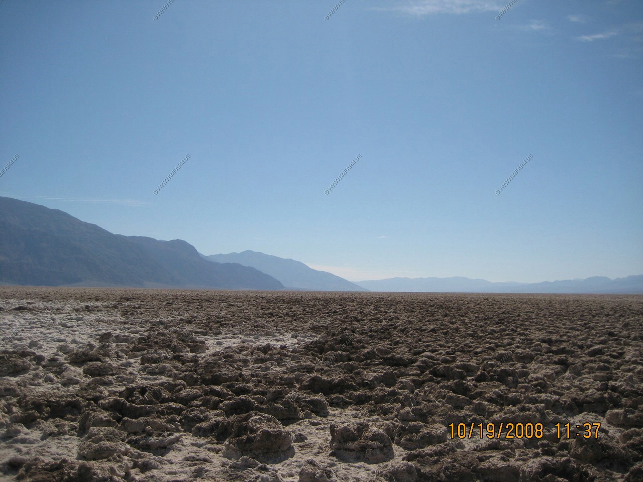
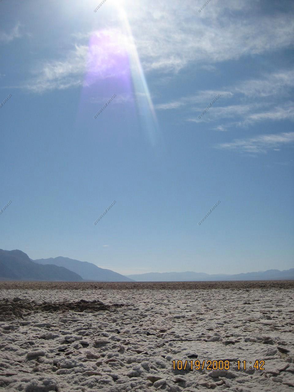
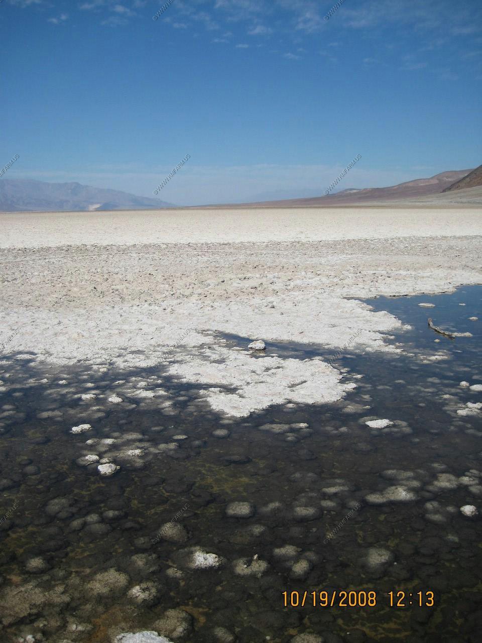
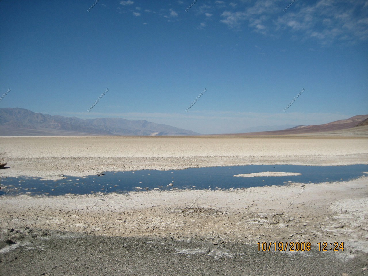
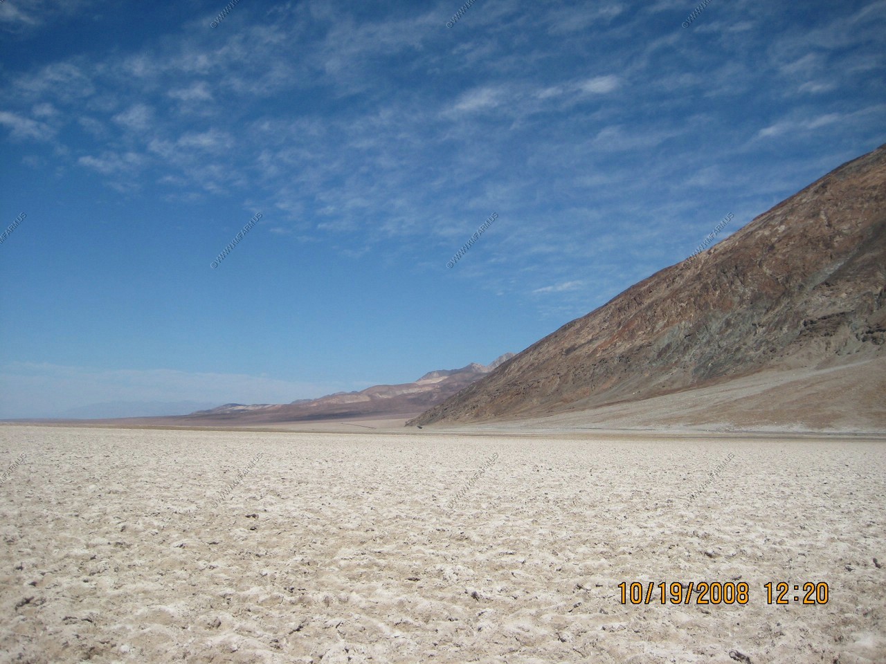
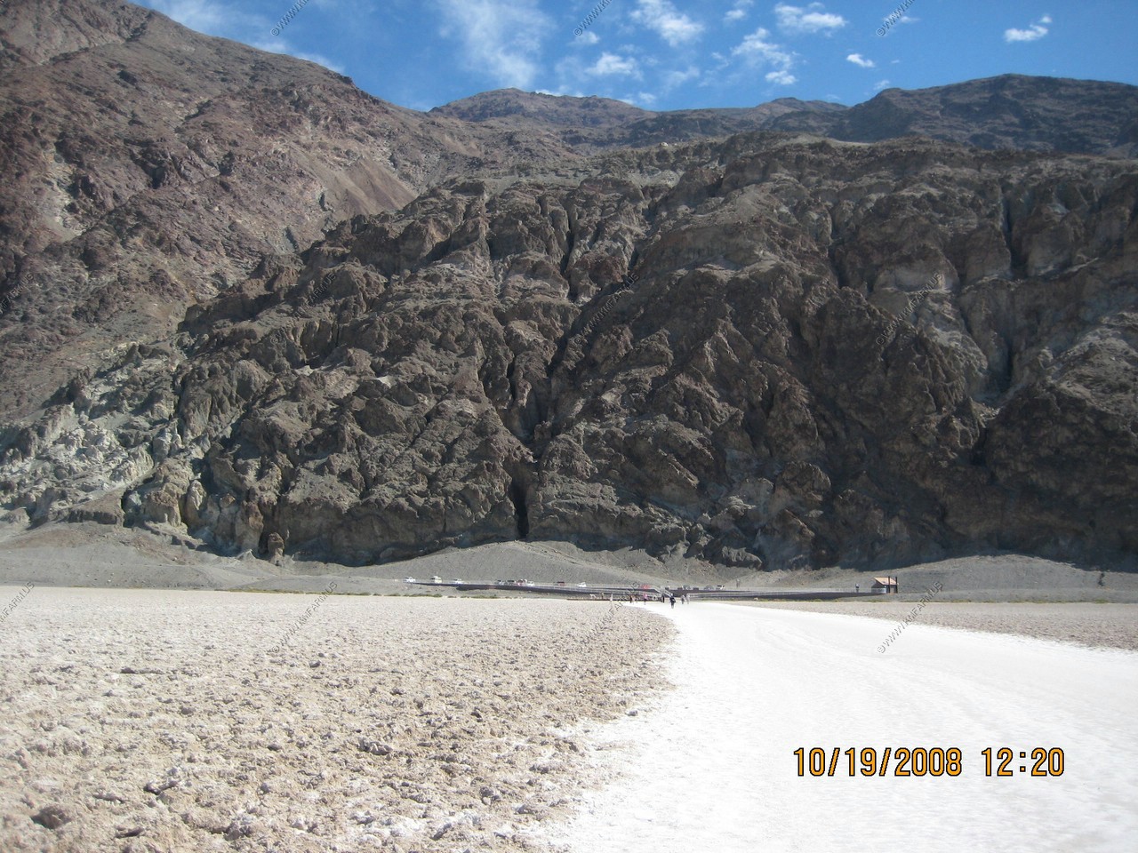
Badwater Basin
Badwater is a salt flat that is beneath the face of the Black Mountains that contains the lowest elevation in North America at (282 ft) below sea level. The massive expanse of white is made up of almost pure table salt.
Unlike at the Devils Golf Course, significant rainstorms flood Badwater, covering the salt pan with a thin sheet of standing water. Each newly-formed lake doesn't last long though, because the 1.9 inch average rainfall is overwhelmed by a 150-inch annual evaporation rate. This, the nation's greatest evaporation potential, means that even a 12-foot deep, 30 mile long lake would dry up in a single year. While flooded, some of the salt is dissolved, then is redeposited as clean, sparkling crystals when the water evaporates.
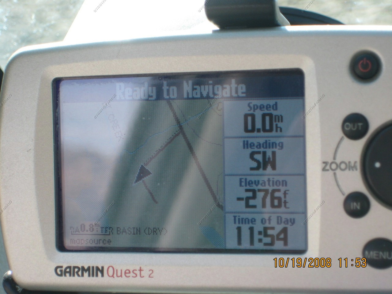
The GPS is close
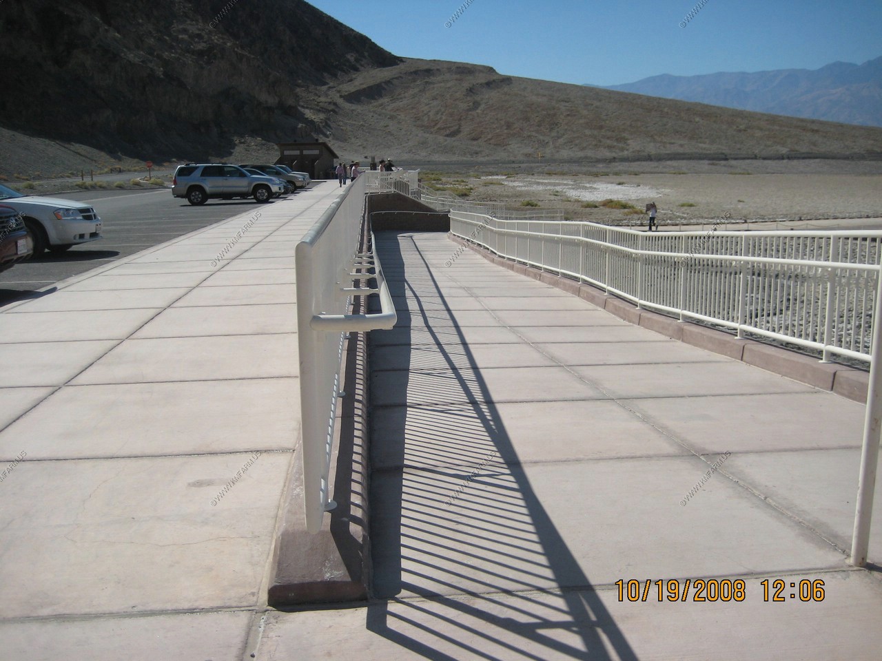
Your government at work. Got to build those ramps !
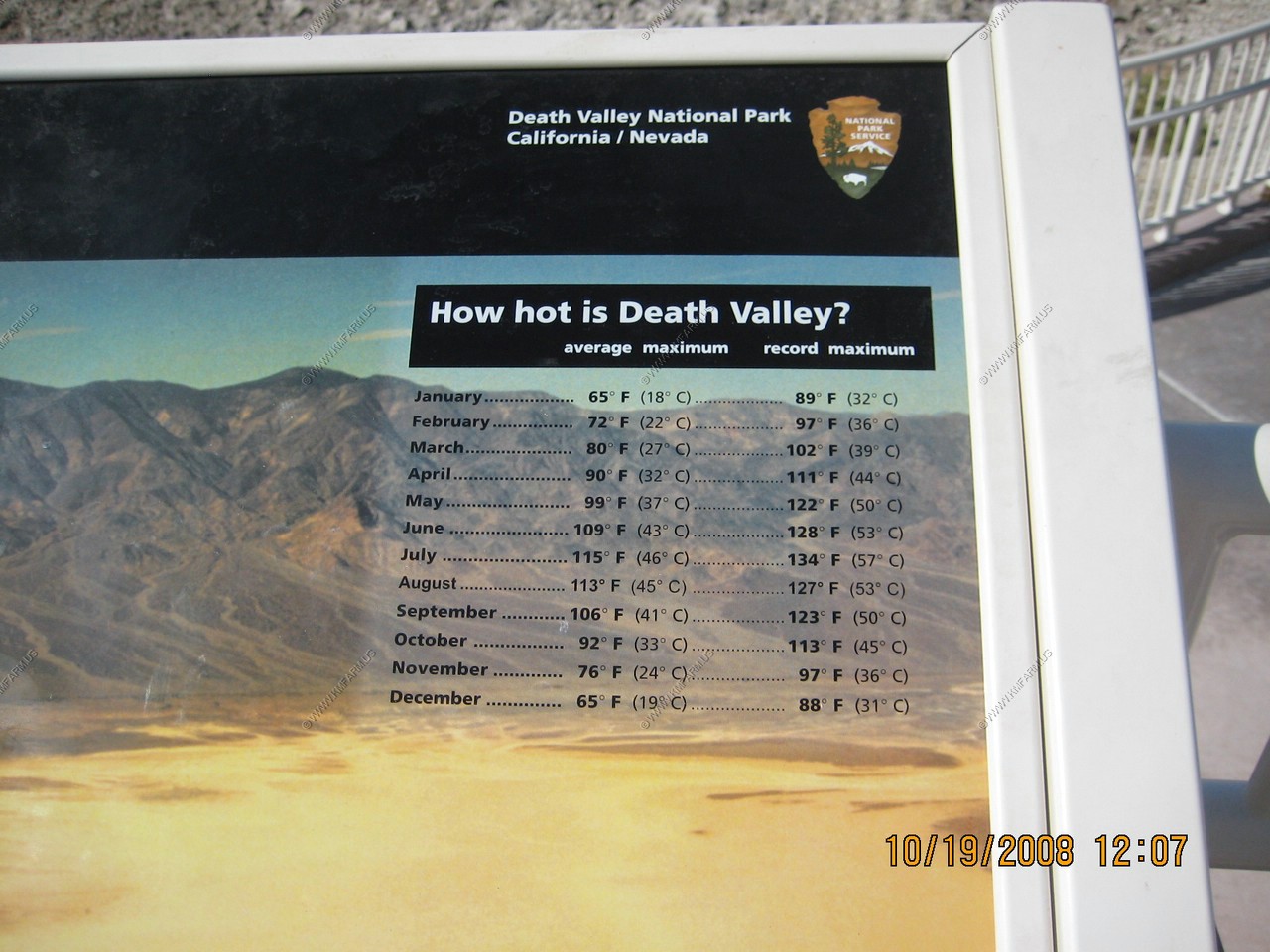
Looks like our days are average for October. Mid 90's
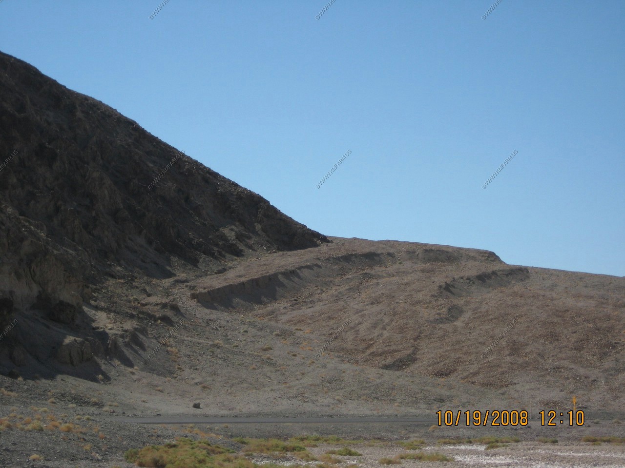
Fault scarps across the alluvial fan. This area is dropping so Badwater is getting deeper with each earthquake.
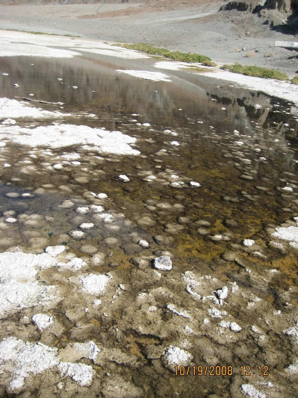
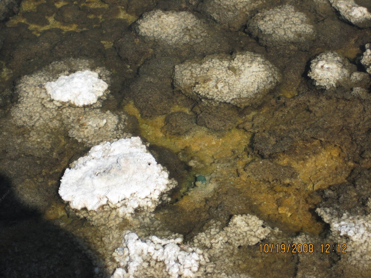
Badwater Pool
Water is rare and precious in Death Valley. A surveyor could not get his mule to drink from the pool. He wrote on his map that the location had "bad water," and the name stuck. Badwater Pool is not poisonous just salty, as the presence of pickleweed, aquatic insects, and larvae proves. It is also home to one of Death Valley's rarest animals-- the Badwater Snail. These tiny mollusks exist only in a few springs at the edge of Death Valley salt flats.
Ancient water fills this pool year-round. Much of it began as Ice Age snow and rain hundreds of miles away in the mountains of central Nevada. The run-off seeped into porous limestone bedrock and began a long underground flow through a regional aquifer. It emerges here at Badwater along the fault line at the mountain's base. Salts dissolve from old deposits and flow to the surface, making the spring water "bad."
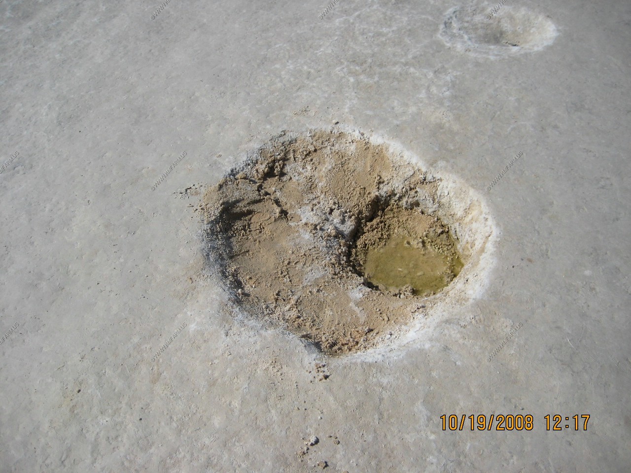
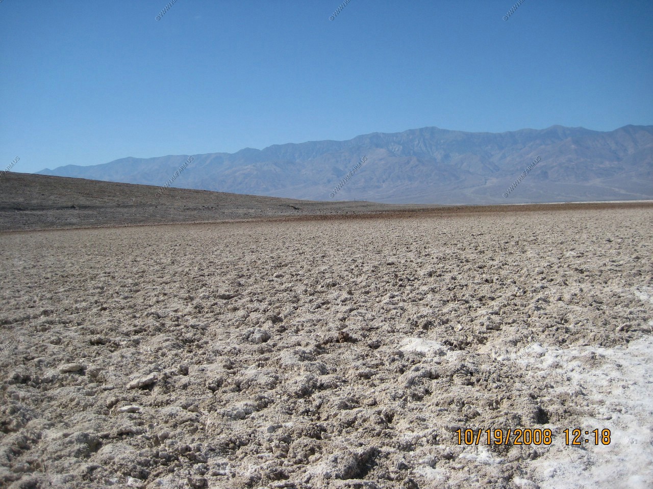
Badwater salt flats
The water table is only a few inches below the salt level here.
Looks like the Devils Golf Course, only smoother.
Looking back at Badwater
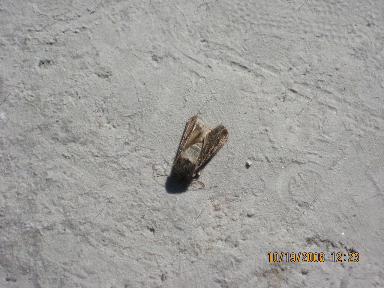
Moths were attracted to the water.
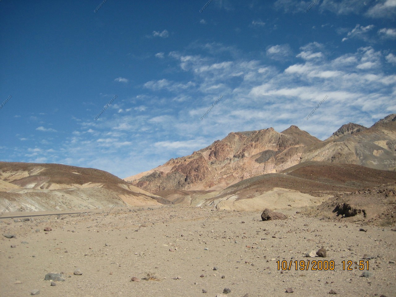
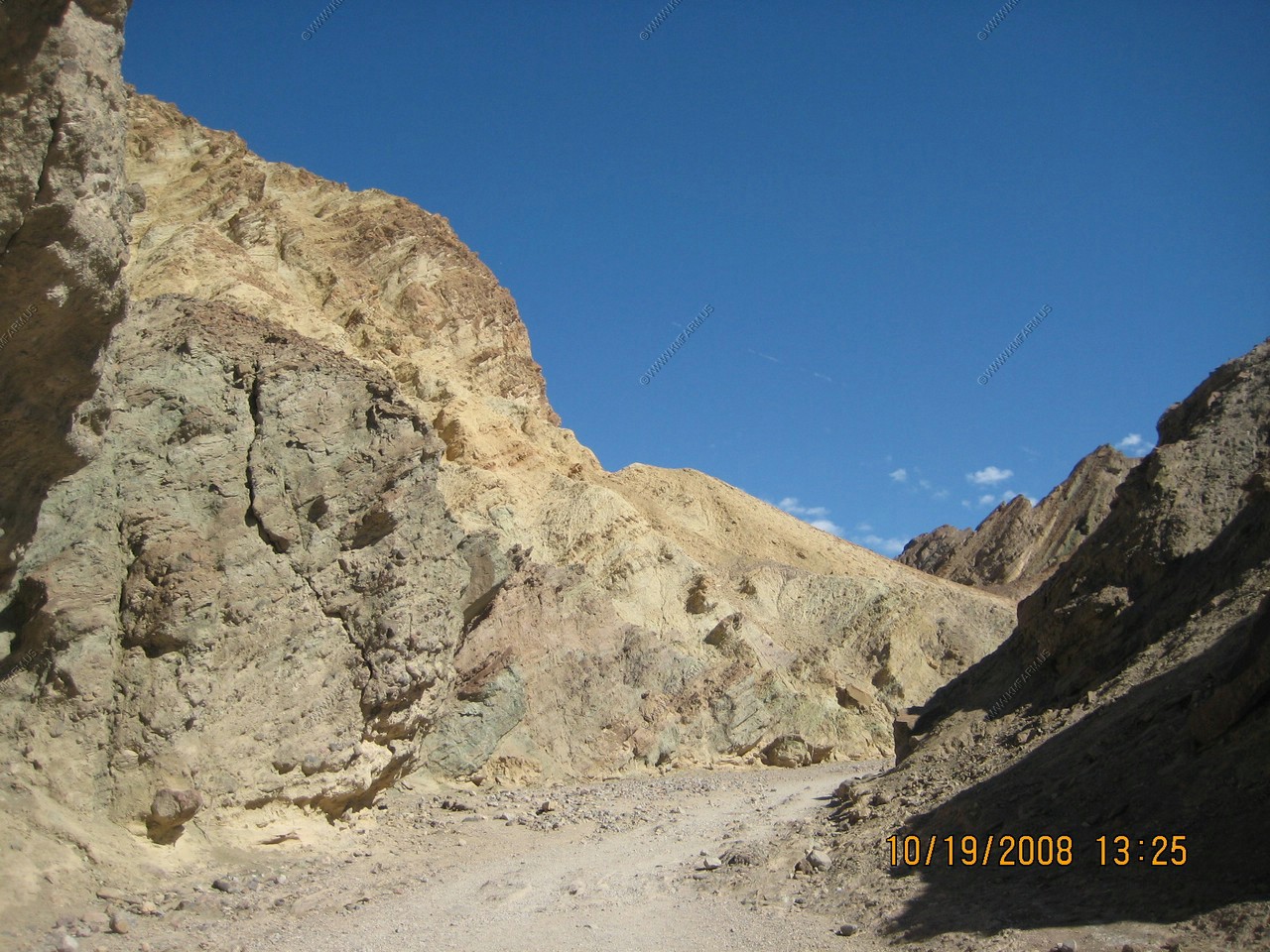
Artist Drive
Artist's Drive rises up to the top of an alluvial fan fed by a deep canyon cut into the Black Mountains. Artist's Palette is on the face of the Black Mountains and is noted for having various colors of rock. These colors are caused by the oxidation of different metals (red, pink and yellow is from iron salts, green is from decomposing tuff-derived mica, and manganese produces the purple).
Called the Artist Drive Formation, the rock unit provides evidence for one of the Death Valley area's most violently explosive volcanic periods. The Miocene-aged formation is made up of cemented gravel, playa deposits, and much volcanic debris, perhaps 5,000 feet (1500 m) thick. Chemical weathering and hydrothermal alteration are also responsible for the variety of colors displayed in the Artist Drive Formation and nearby exposures of the Furnace Creek Formation
Looking back at Badwater
Views along the loop. Not that exciting.
Very rugged area
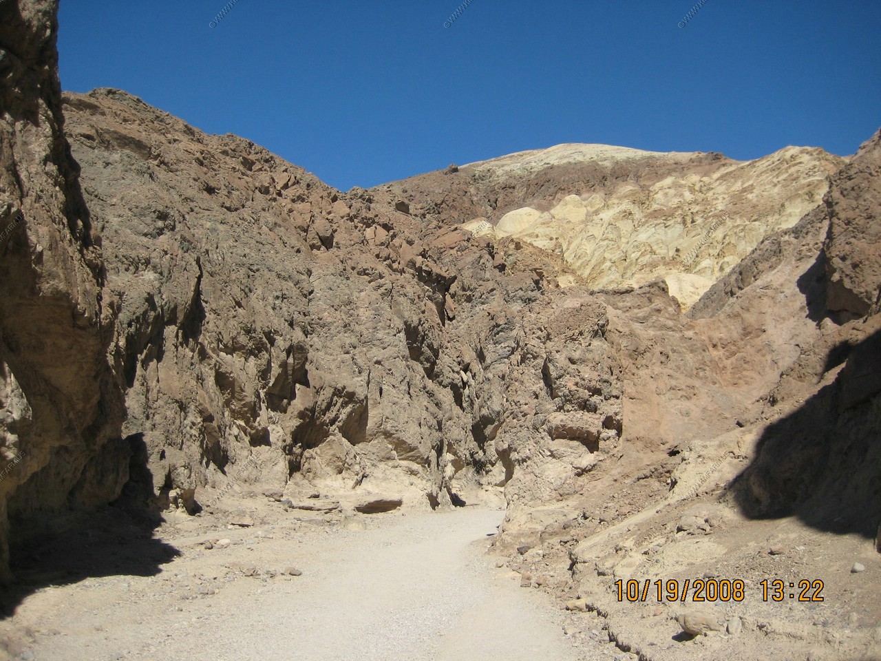
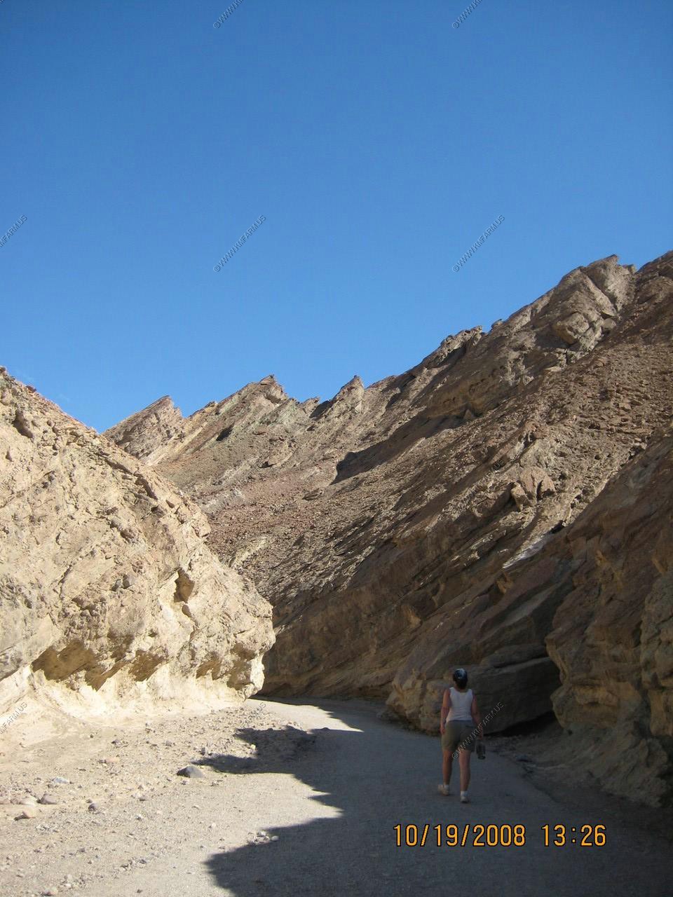
Golden Canyon & Gower Gulch Trail
Golden Canyon is a short gorge that cuts into brightly colored sandstone rocks in many glowing shades of orange, gold and red, with the ever-present deep blue sky above making the hues seem especially sharp and intense. Once there was a paved road running up the whole length but this has long been disused and most sections have eroded away. Now, travel on foot is the only option, and the hike is one of the most popular in the national park
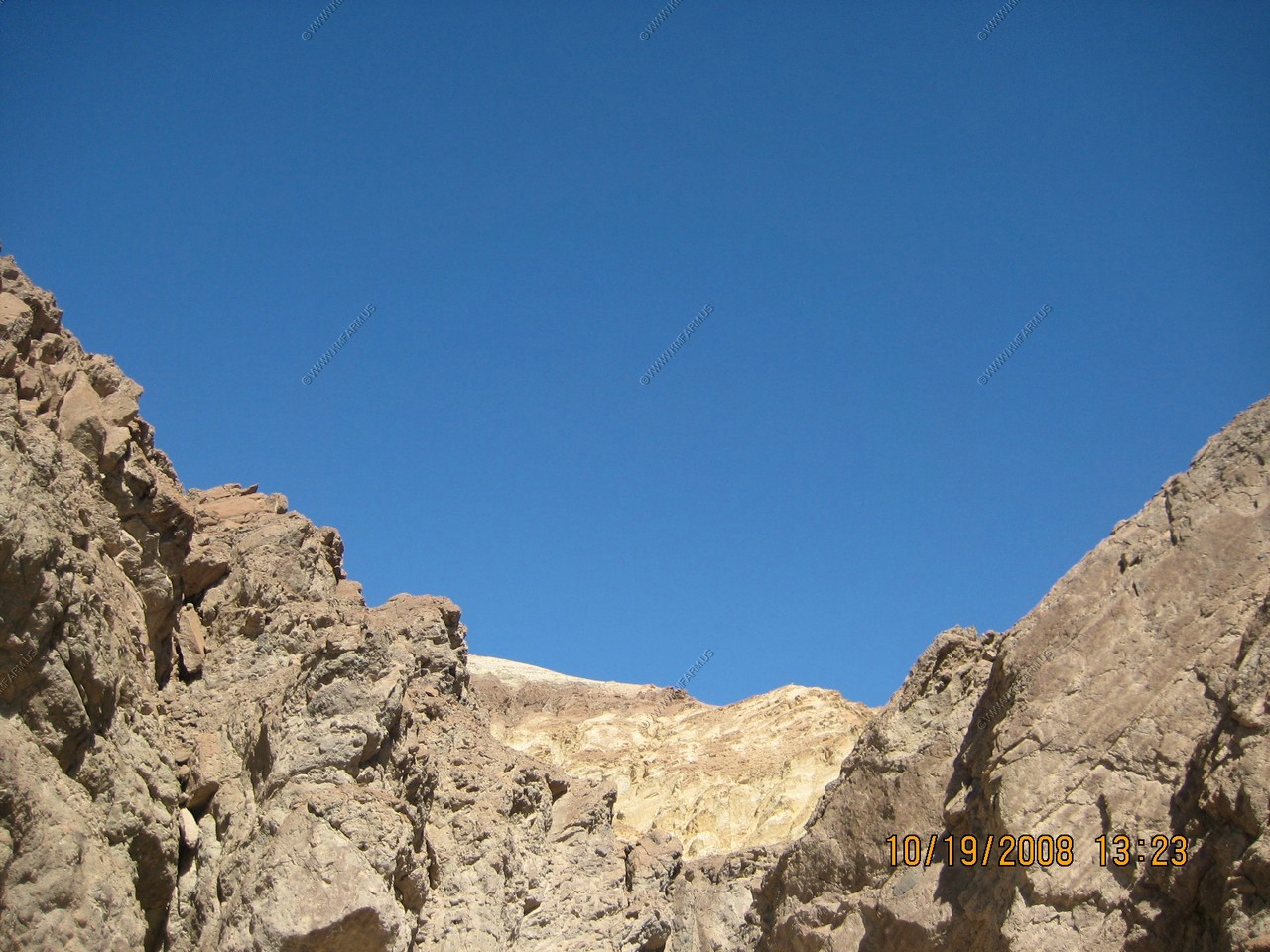

Very blue sky as advertised as a feature of this trail
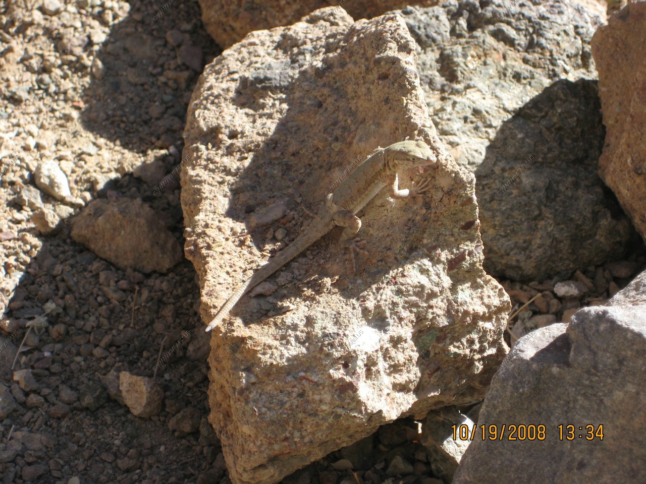
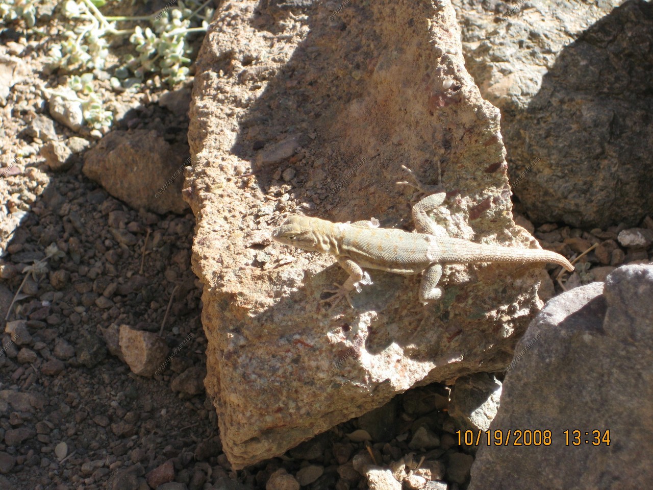
A thirsty lizzard
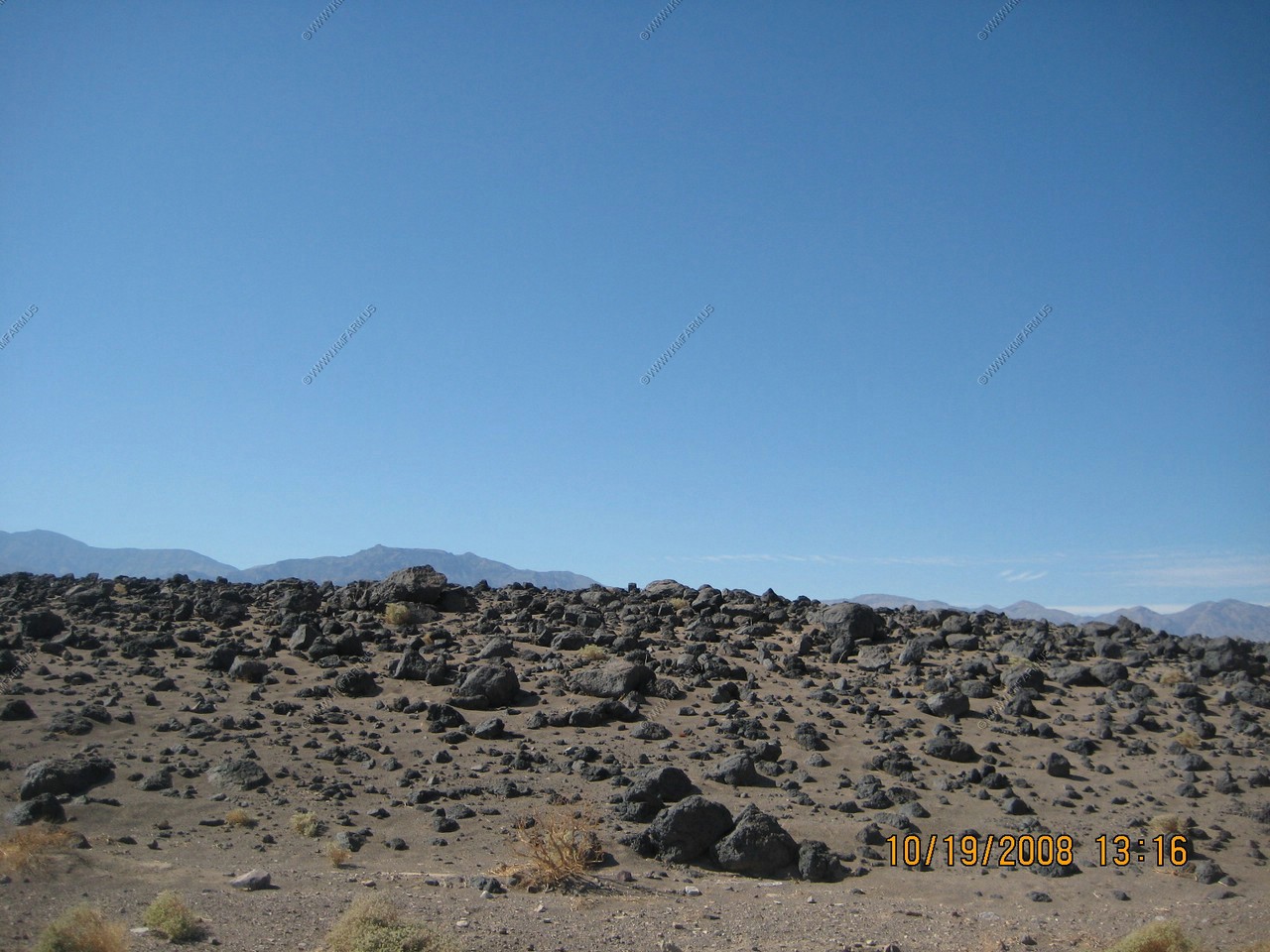
Devils Cornfield
Clumps of Arrowweed appear as stalks of corn in a harvest field. The presence of the plant growing on the sandy mounds indicate a shallow water table (only 5 feet).
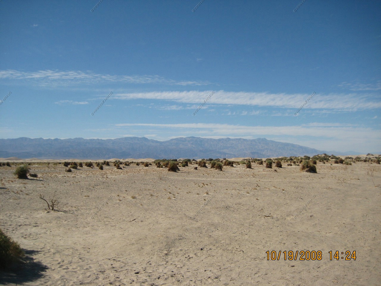
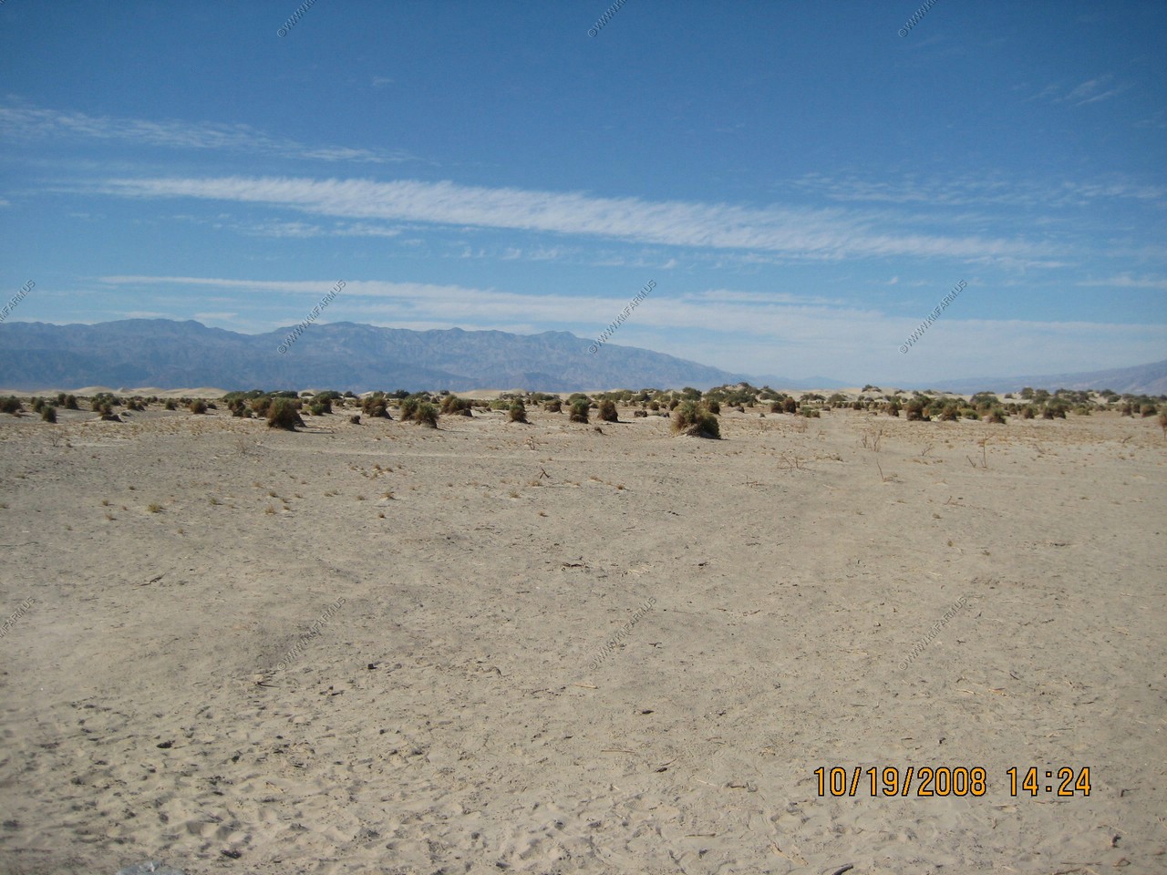
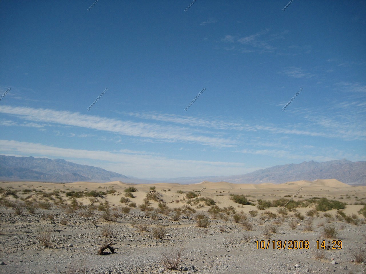
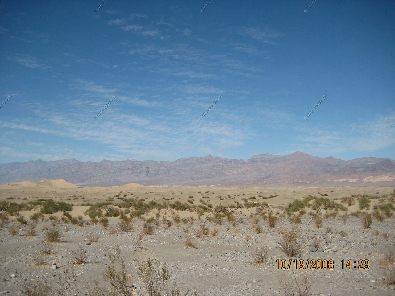
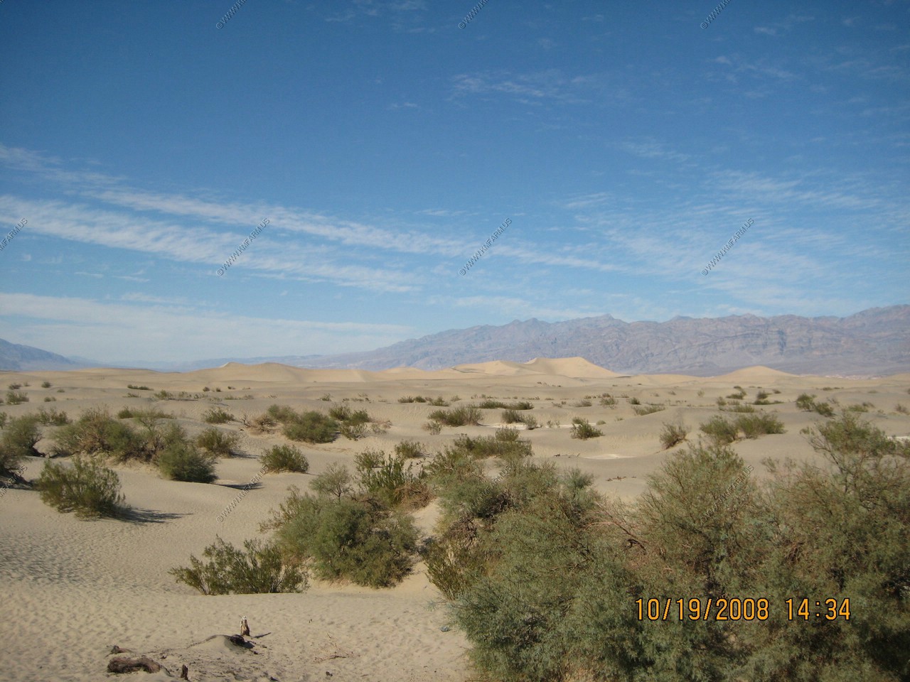
Sand Dunes (near Stovepipe Wells)
Winds blowing through Death Valley are slowed here by the changing shape of the Valley and Tucki Mountain. The weakened winds cannot carry their cargo of sand any farther. Quartz grains, scoured from the surrounding mountains, compose the deposited sands. While winds constantly shape and reshape individual sand dunes, the dune field itself does not move.
In Death Valley sand dunes are less common than you might expect. Five widely separated dune fields exist in this national park yet they account for only a fraction of the total acreage. Sand is scattered throughout the desert but in only a few places is it gathered by the interaction of wind and mountains to form dunes.
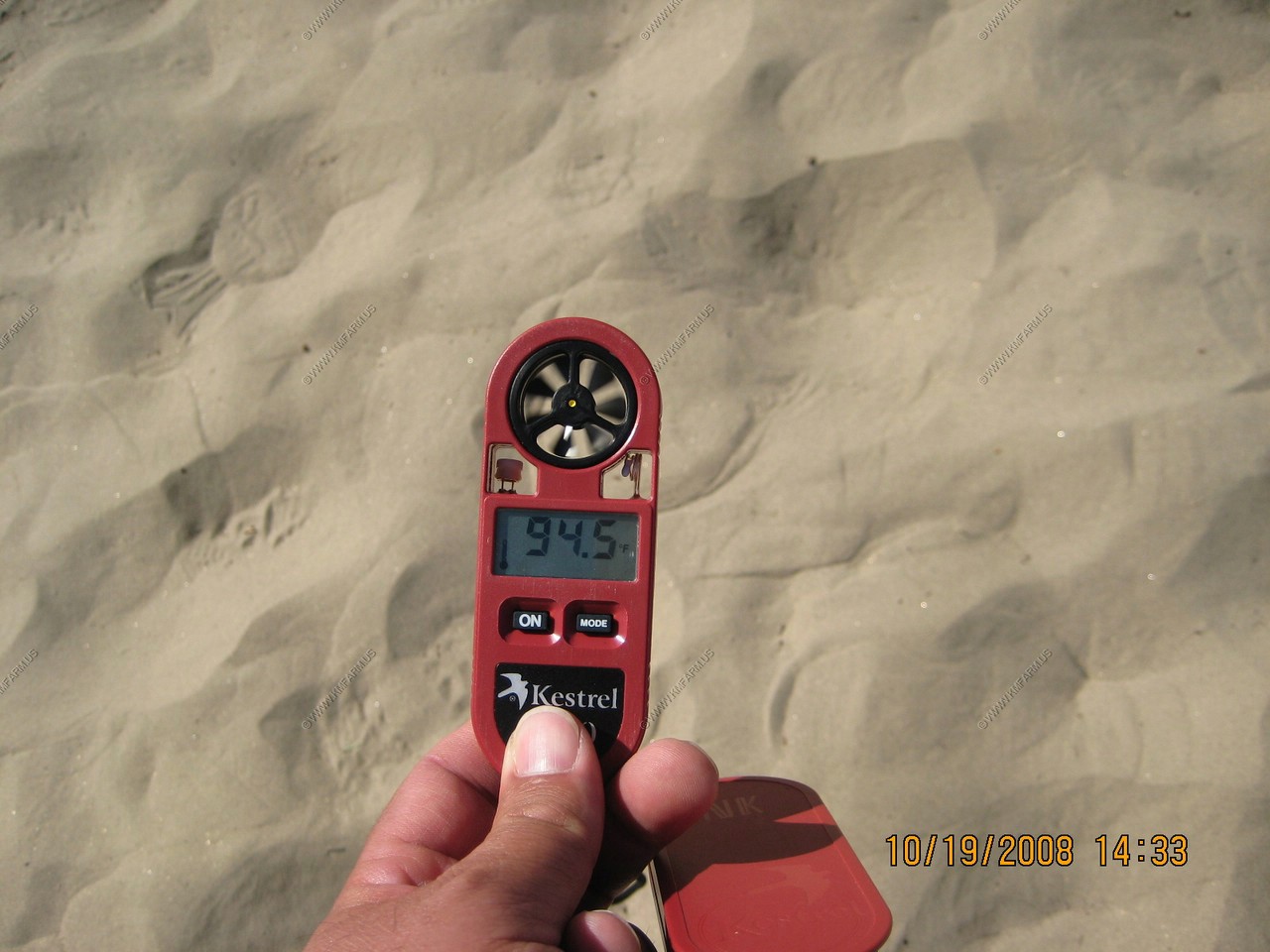
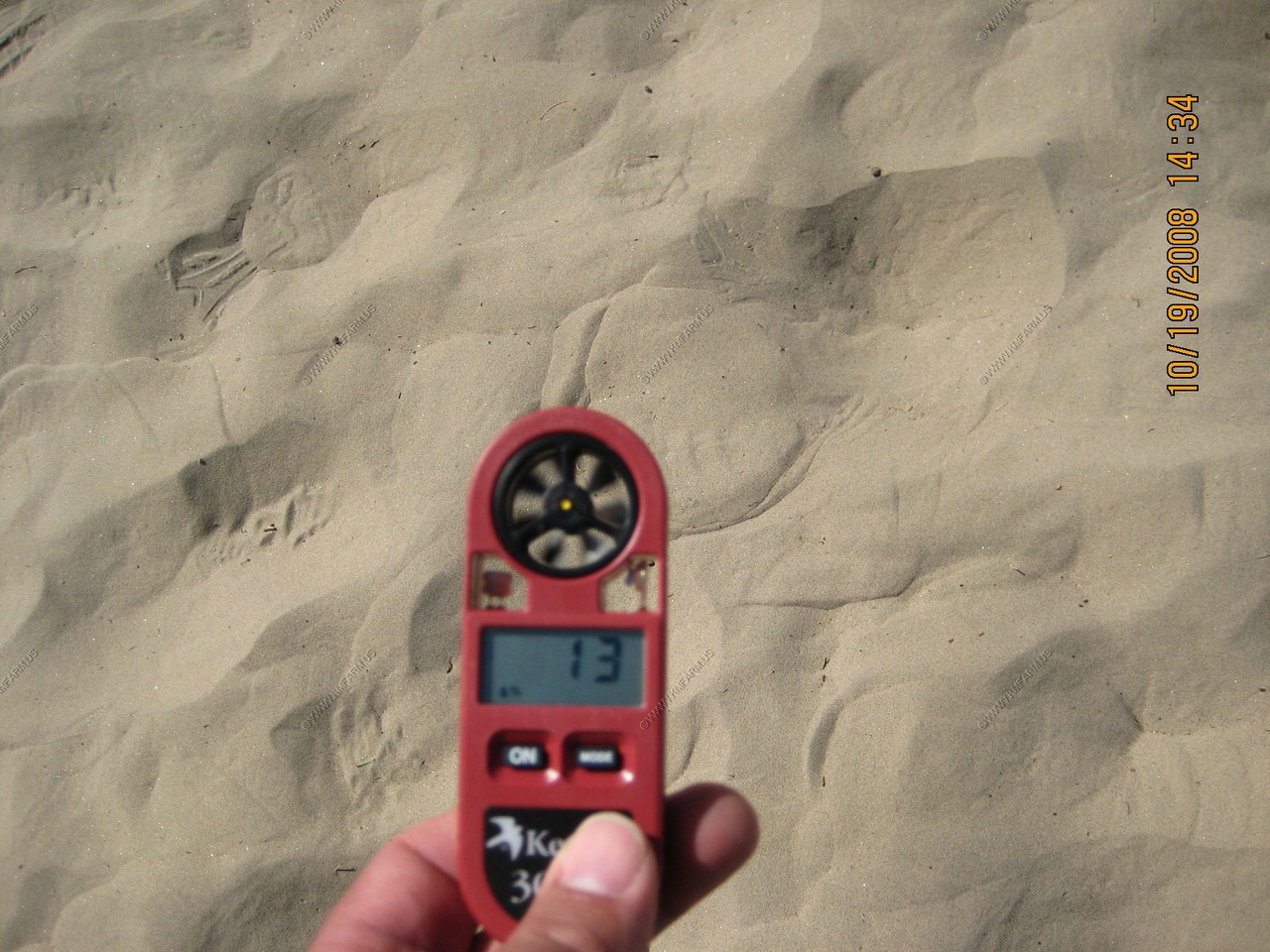
Its 2:30pm 94.5 degrees and 13% humidity... Nice !!
Lots of critter tracks
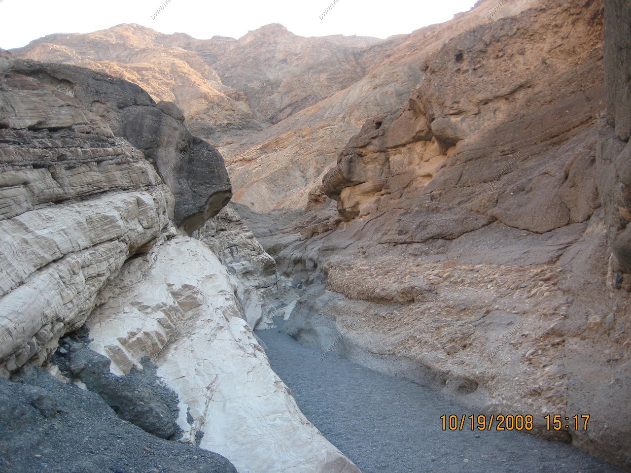
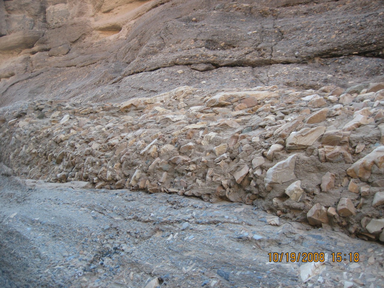
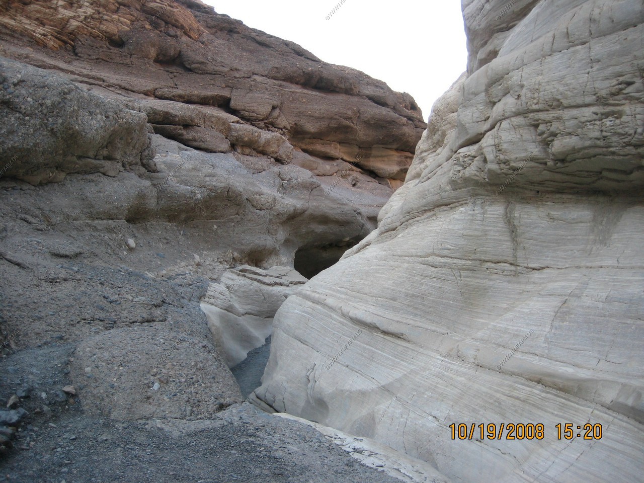
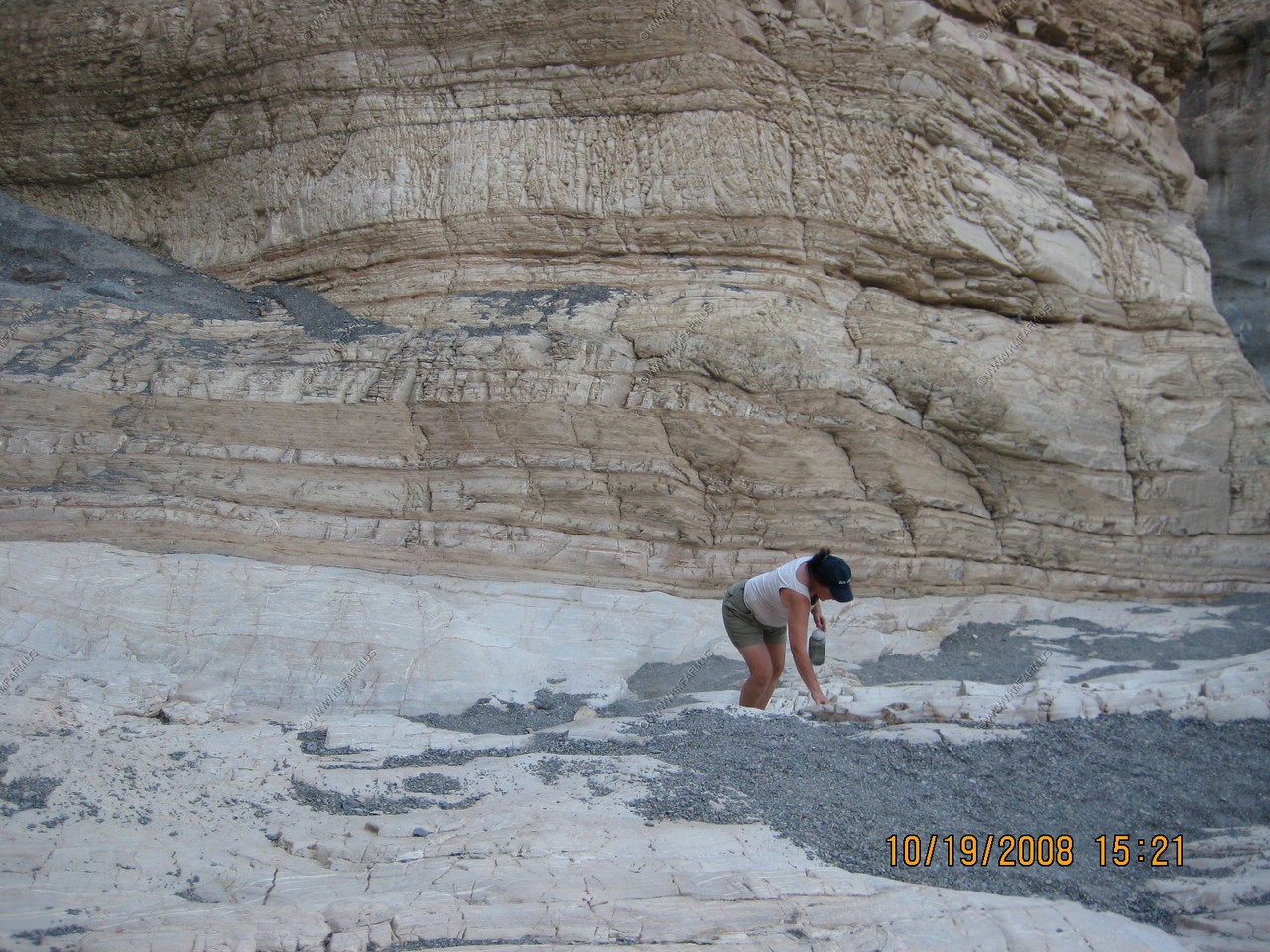
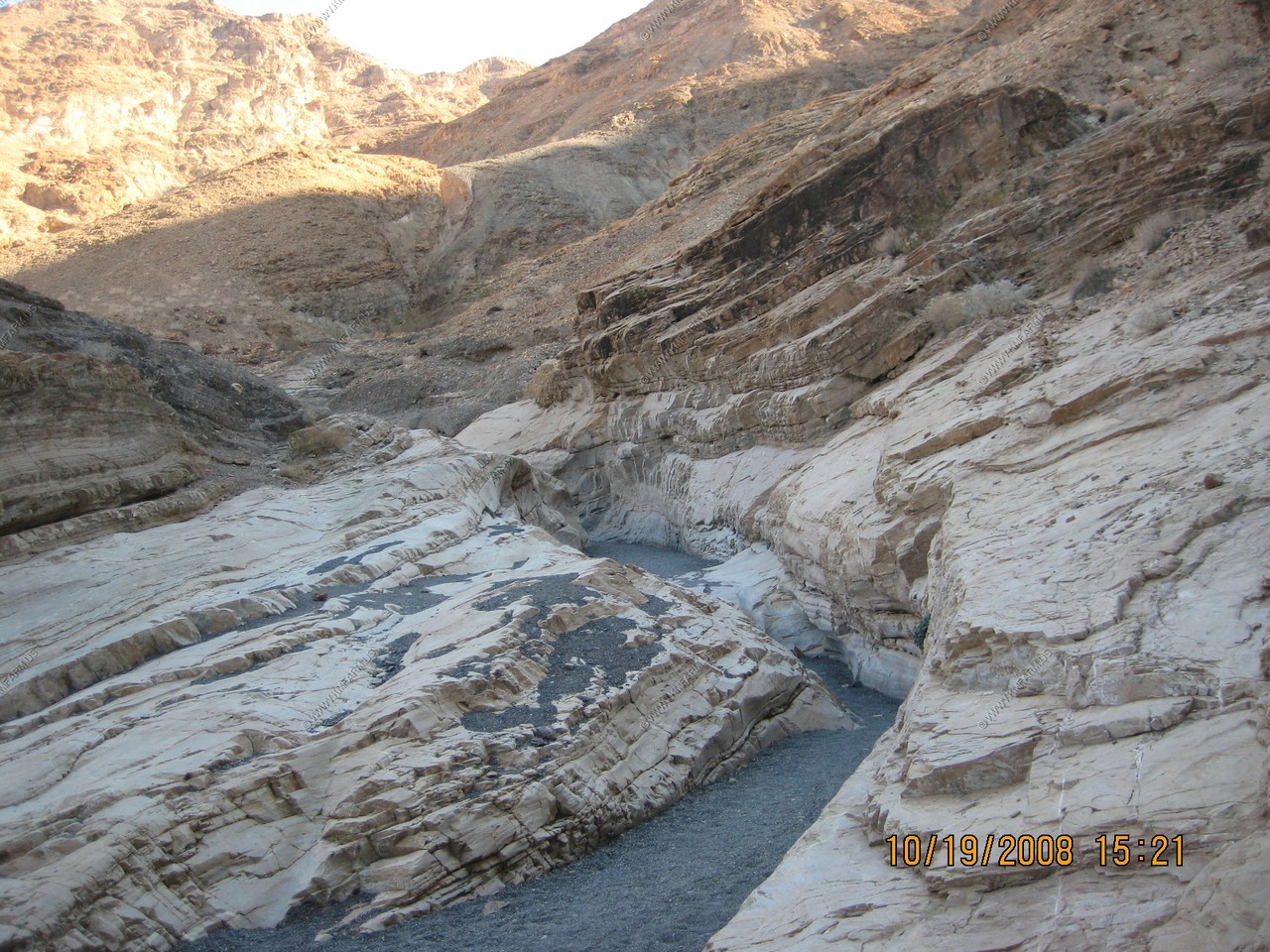
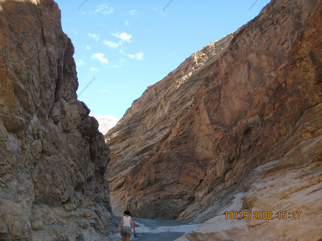
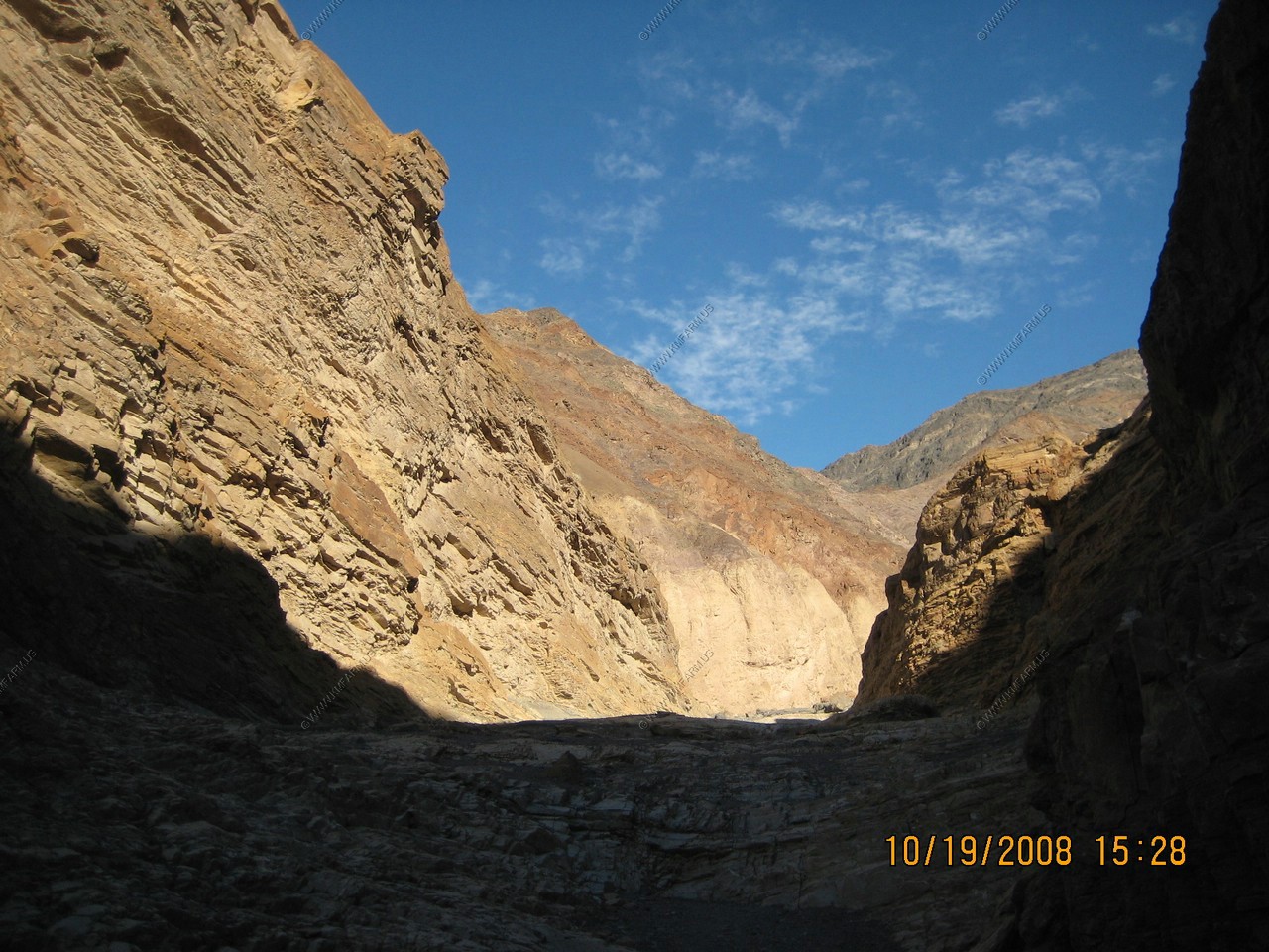
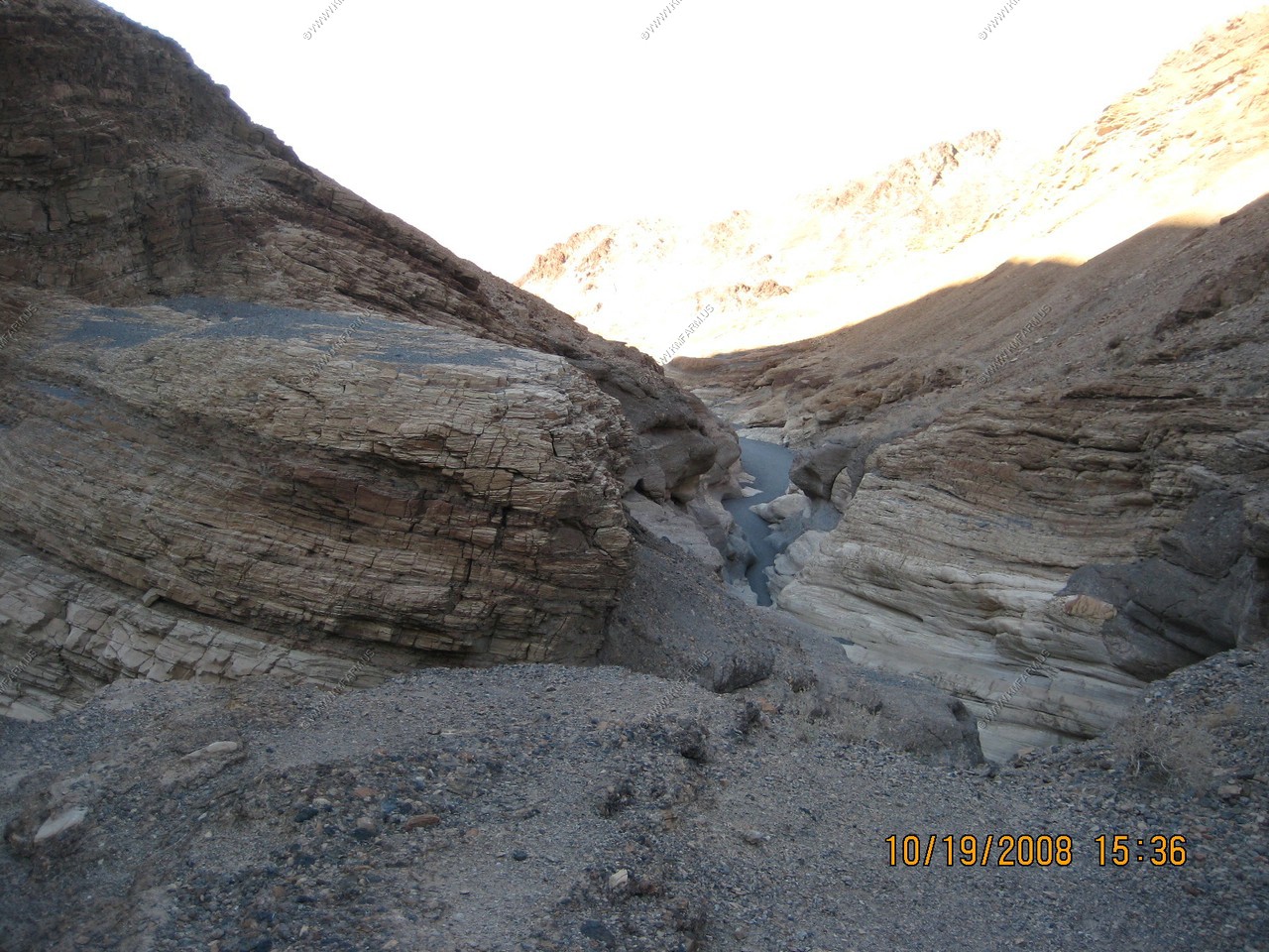
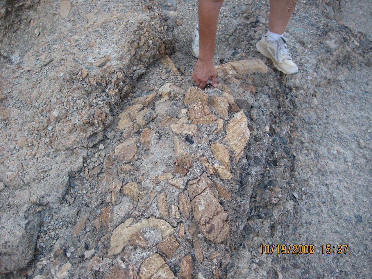
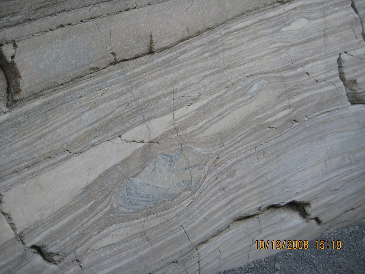
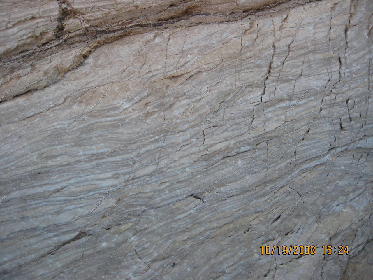
Mosaic Canyon
Mosaic Canyon is a canyon in the northwestern mountain face of the valley which is named after a stream-derived breccia sediment with angular blocks of dolomite in a pebbly matrix. The entrance to Mosaic Canyon appears deceptively ordinary, but just a 1/4 mile walk up the canyon narrows dramatically to a deep slot cut into the face of Tucki Mountain. Smooth, polished marble walls enclose the trail as it follows the canyon's sinuous curves. The canyon follows faults that formed when the rocky crust of the Death Valley region began stretching just a few million years ago. Running water scoured away at the fault-weakened rock, gradually carving Mosaic canyon.
Mosaic Canyon was named for a rock formation known as the Mosaic Breccia. Breccia is the Italian word meaning fragments. This formation is composed of angular fragments of many different kinds of parent rock, and it can be seen on the floor of the canyon just south of the parking area.
Looking north where we had driven yesterday. The development is Stovepipe Wells Village.
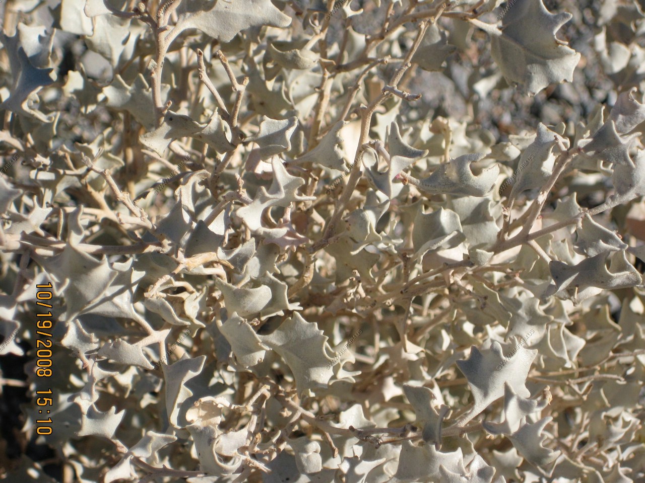
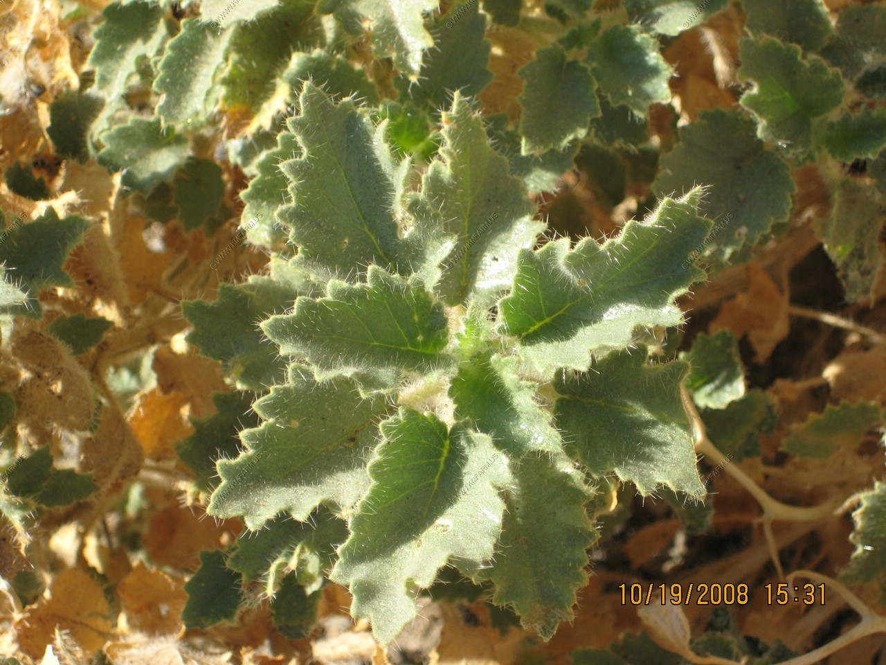
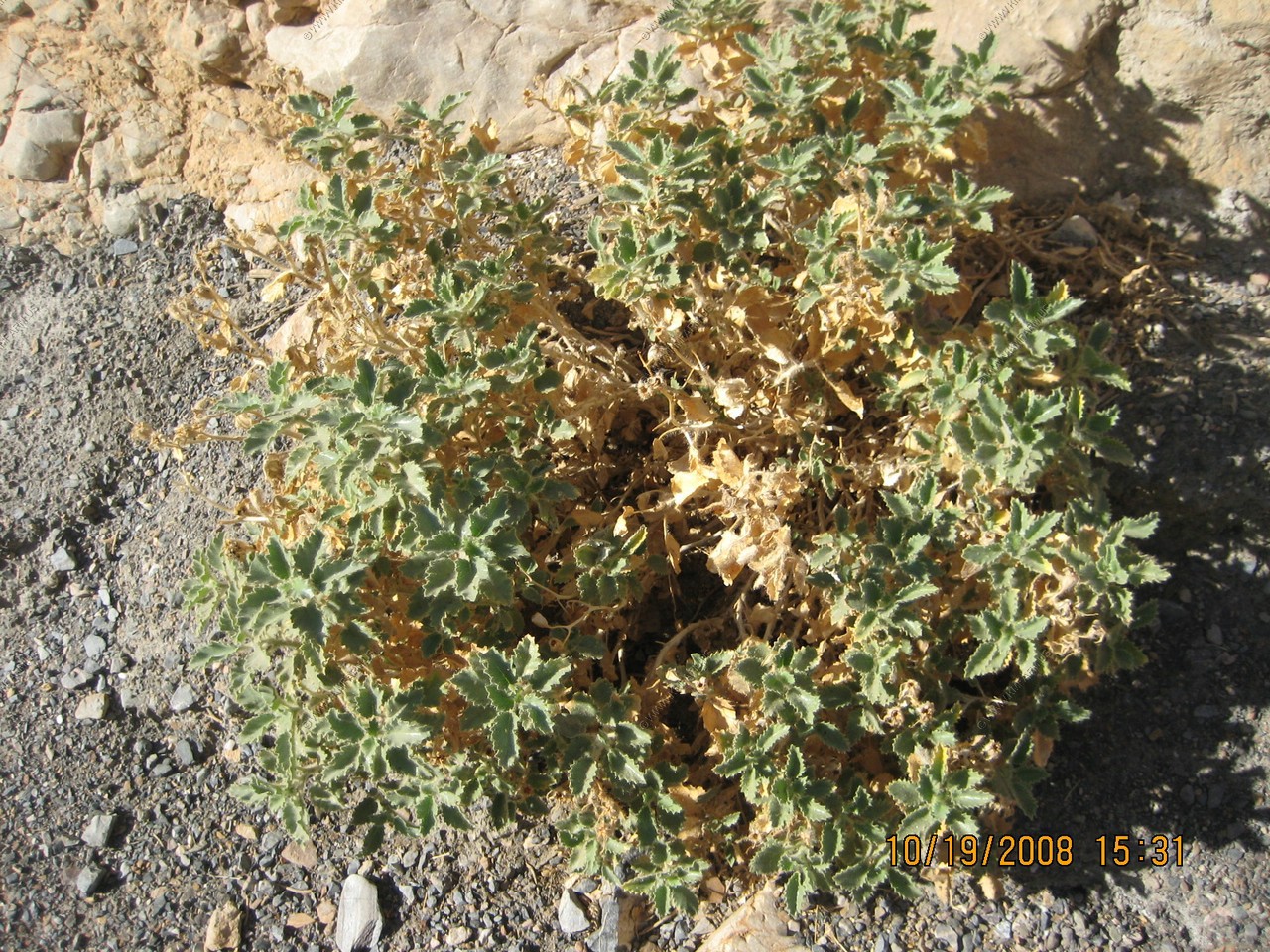
Desert Holly, Atriplex hymenelytra. Desert-holly is usually to be found on alkaline soils but on hilly and rocky areas and in canyon washes rather than lower flats.
Or this ??
Various views of Mosaic Canyon
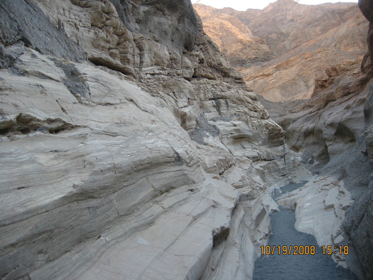
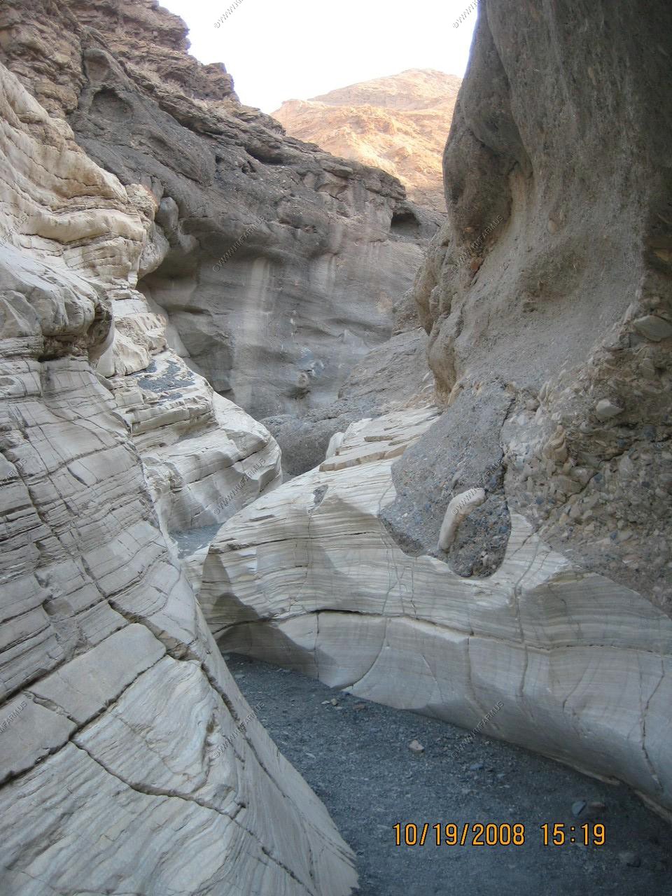
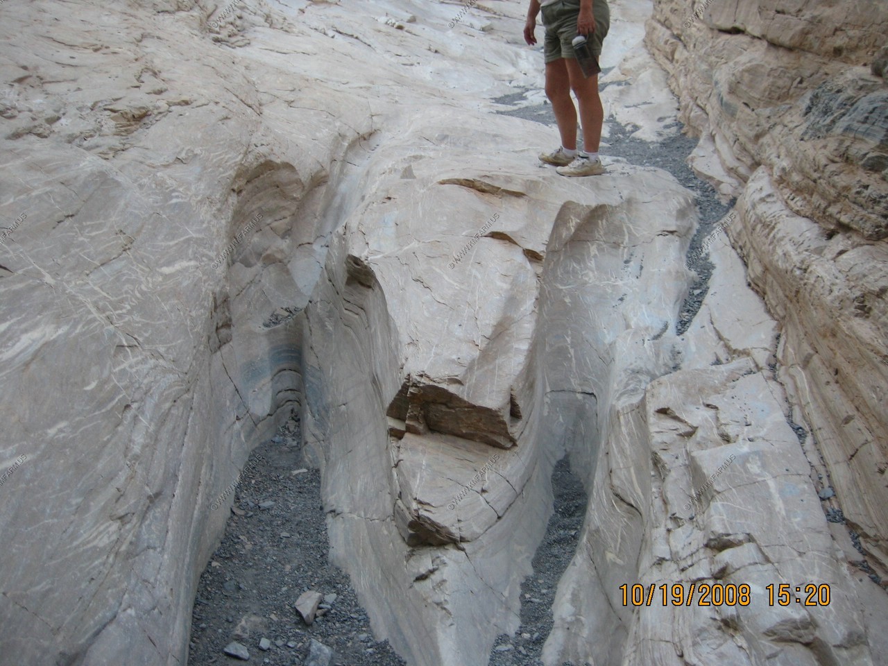
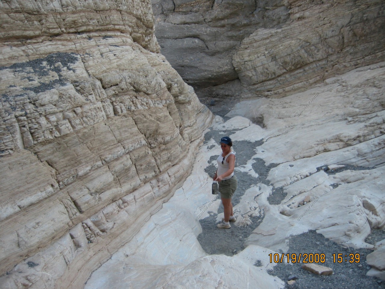
Interesting patterns
We made it back out alive.
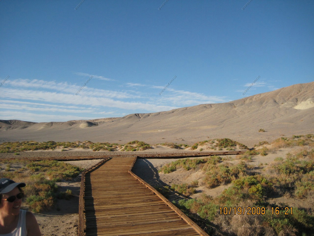
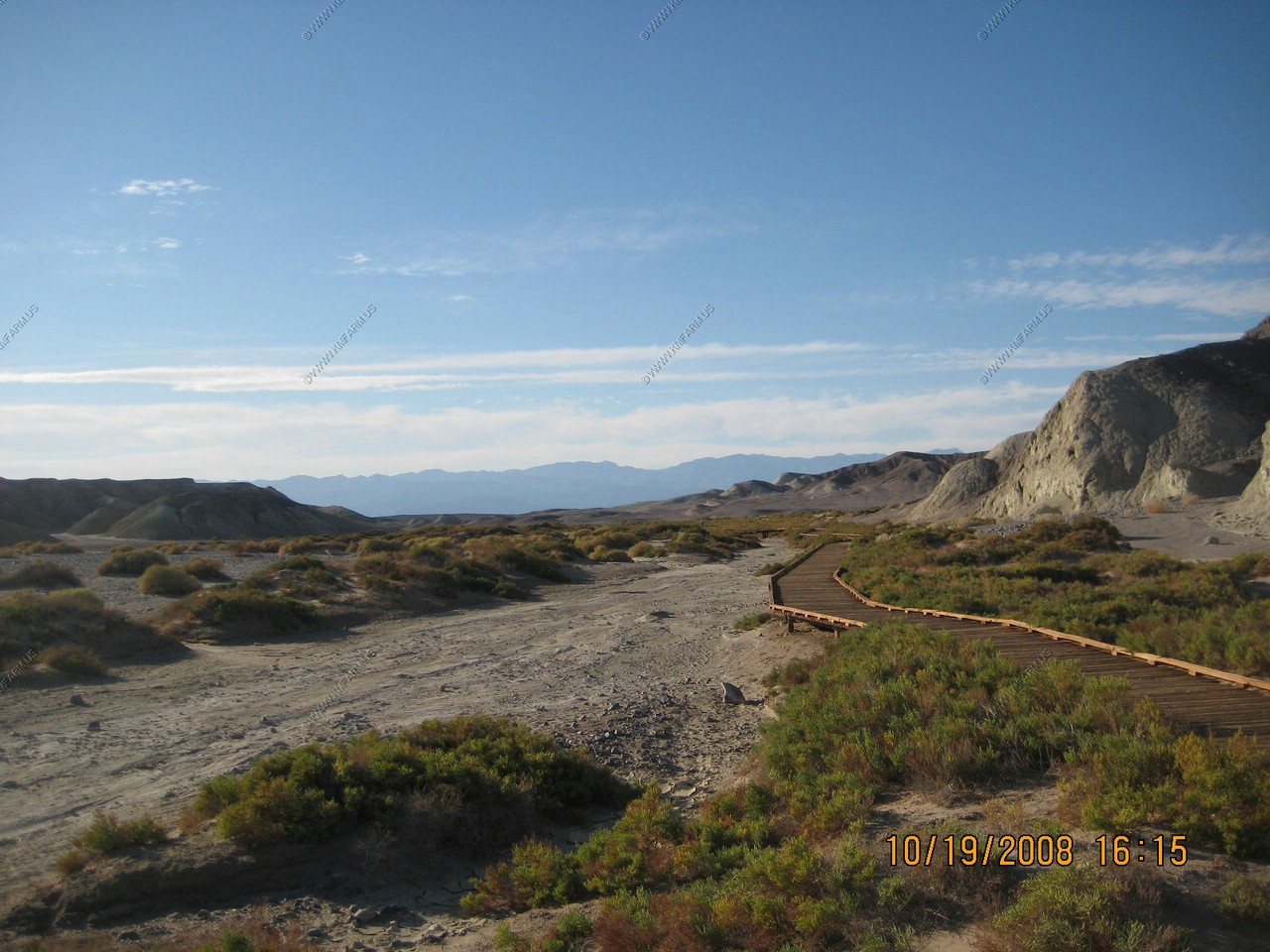
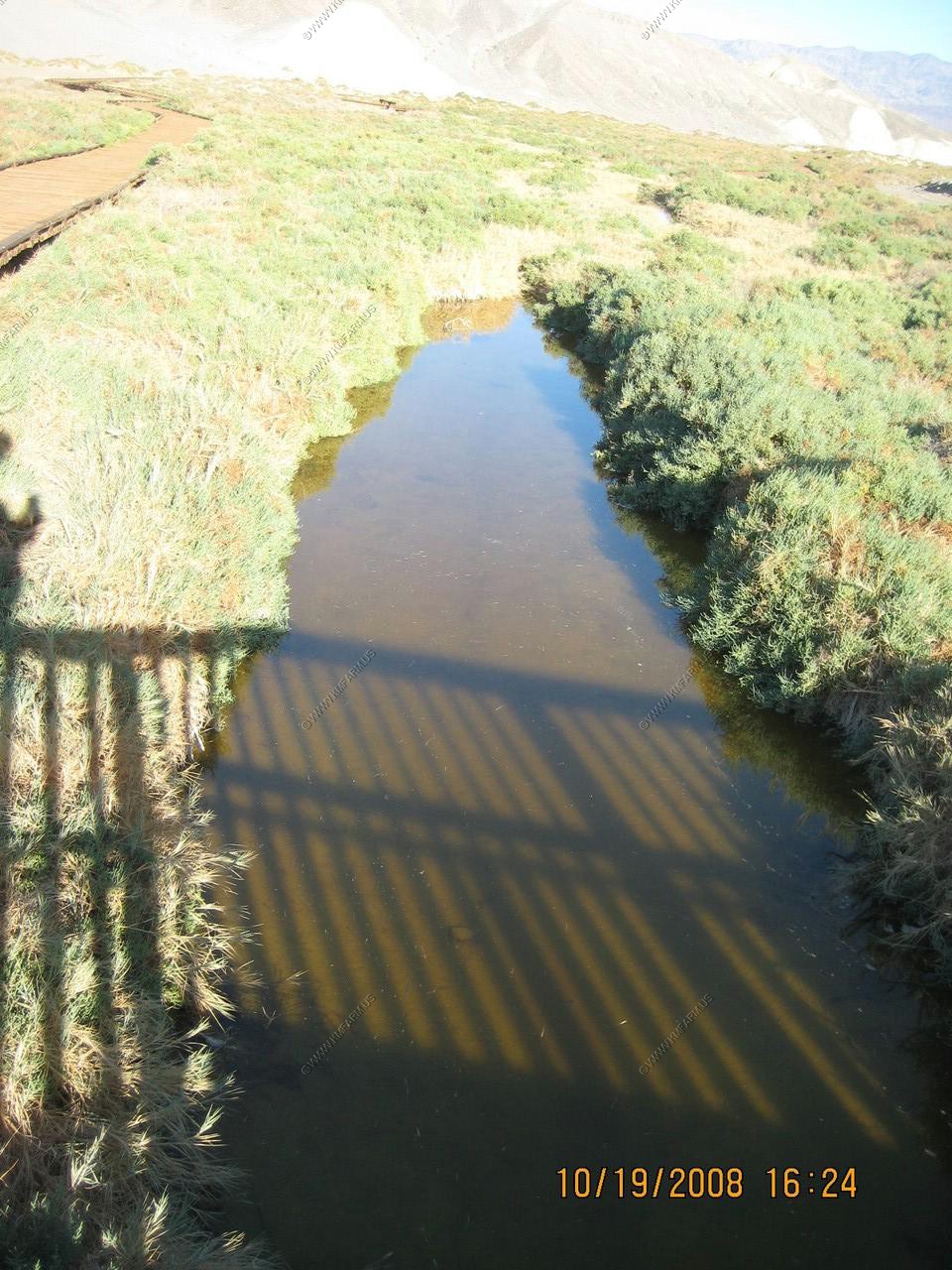
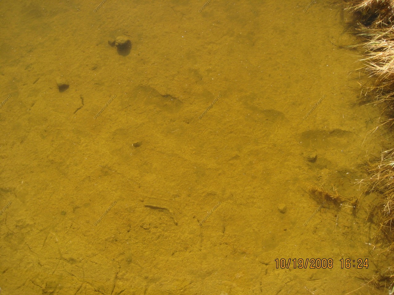
Salt Creek Trail
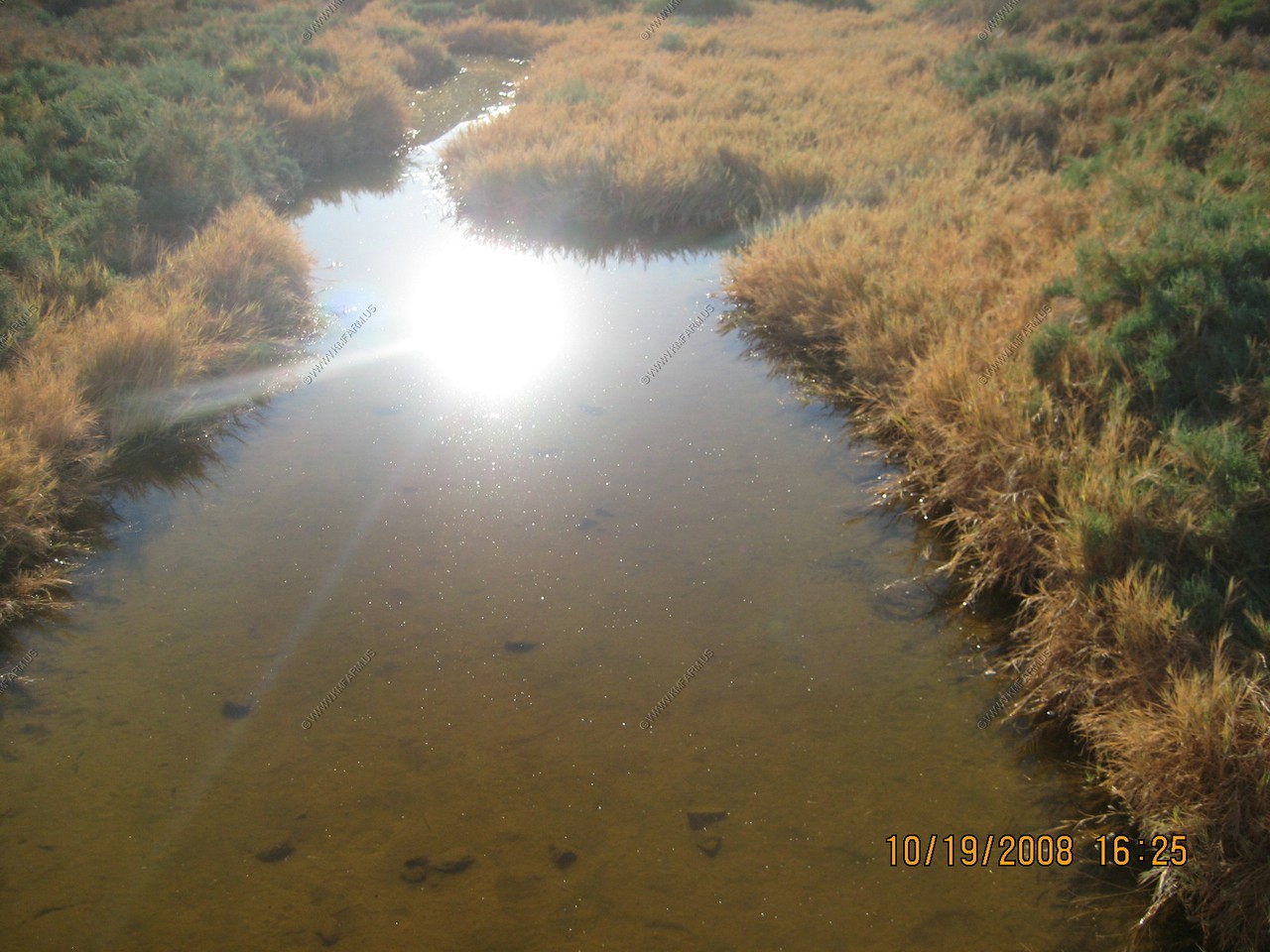
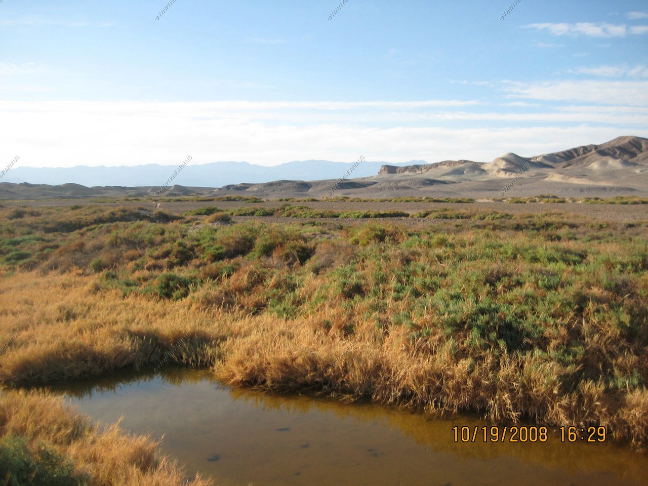
Most people imagine Death Valley to be an arid wasteland, devoid of water and life. Few expect to find a stream flowing on the Valley floor, more than 200 feet below sea level. Like all desert oases, plants and animals congregate around its life-giving waters. Even more surprising, the rare Salt Creek Pupfish (Cyprinodon salinus) has thrived in its seasonally fluctuating waters for thousands of years, despite all odds. Originating from brackish springs and marshes more than a mile upstream from here, the water becomes increasingly salty due to evaporation as it flows downstream. The section of Creek that flows beside the boardwalk during winter and spring can be more saline than seawater. At peak flow, the stream meanders out onto vast salt flats of Cottonball Basin before finally sinking into valley fill and evaporating into the desert air. Although Salt Creek is too salty for humans to drink, it is a source of life for many plants and animals. Watch for tracks and burrows in the sand along the boardwalk to get an idea of the wildlife activity taking place out of sight.
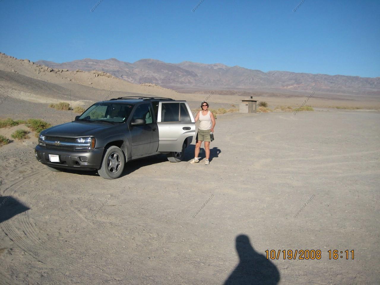
We had to fight for a parking spot
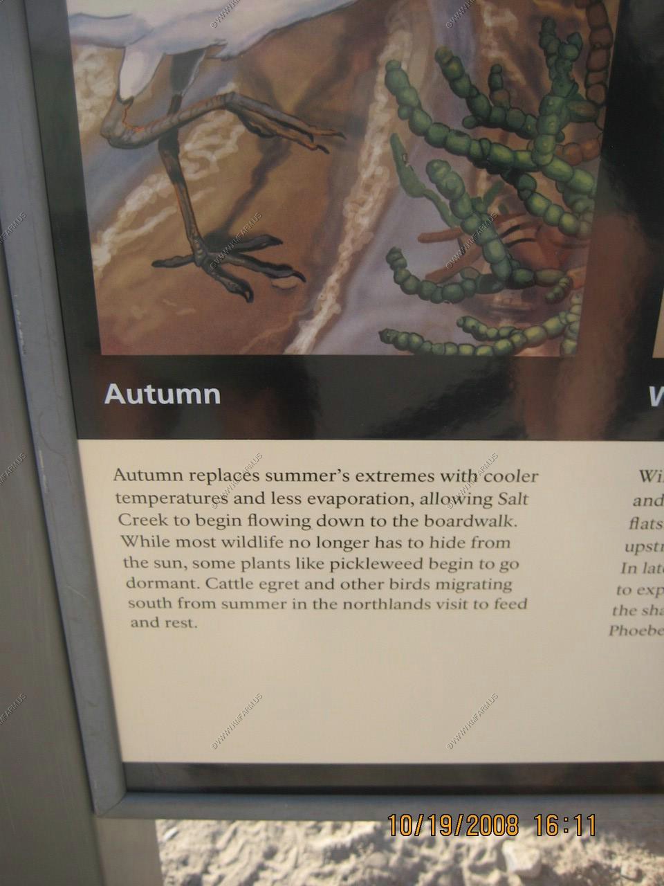
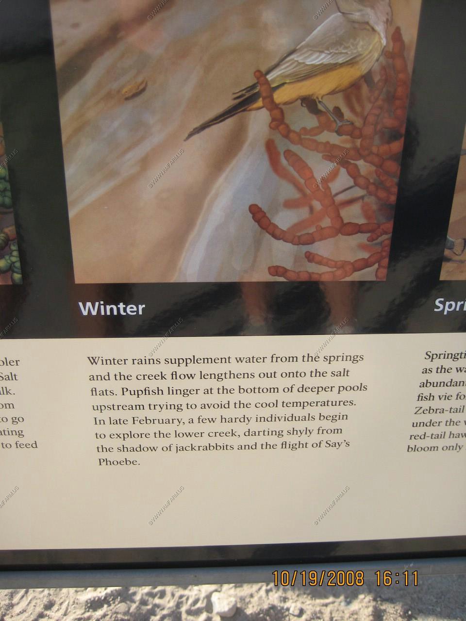
The four seasons of Salt Creek.
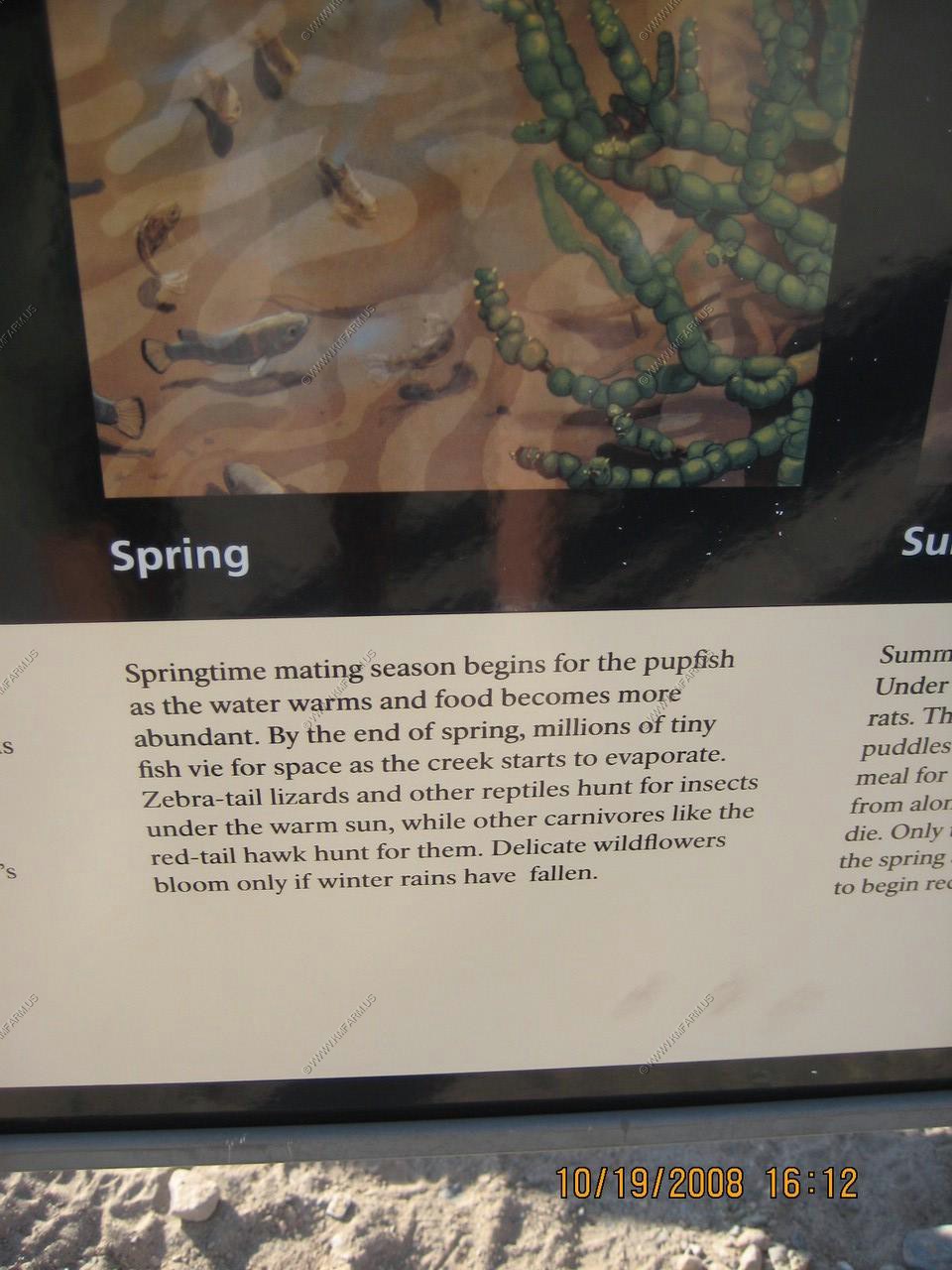
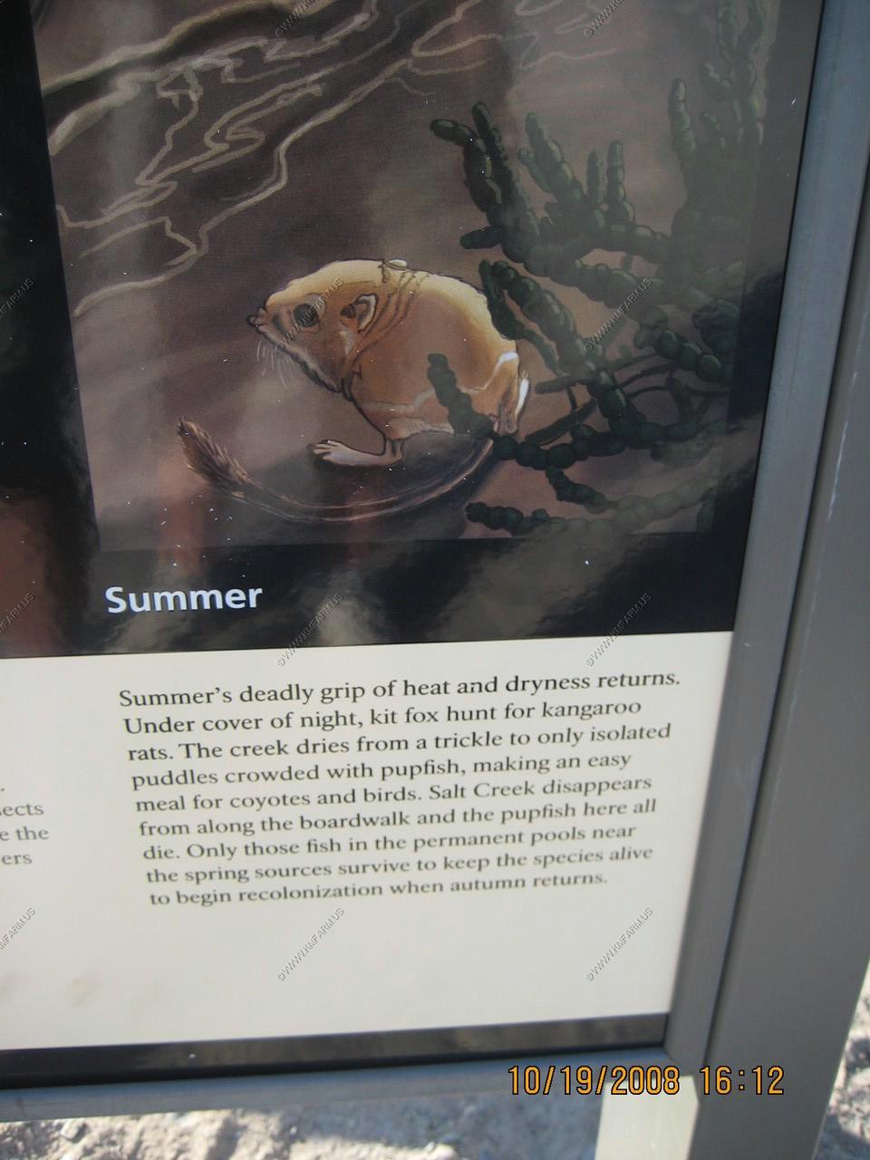
Lots of info on the Pupfish
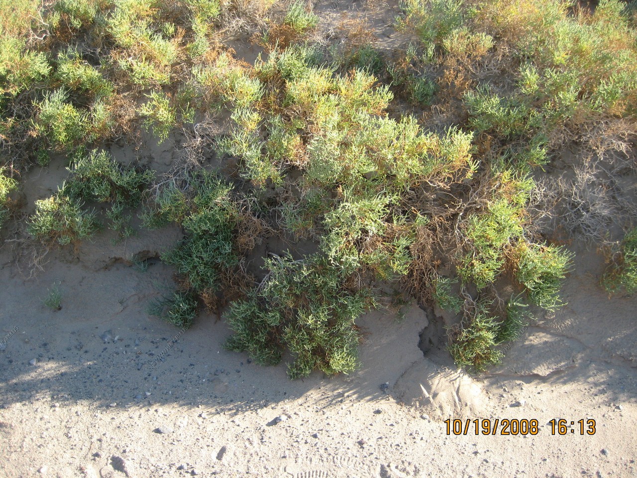
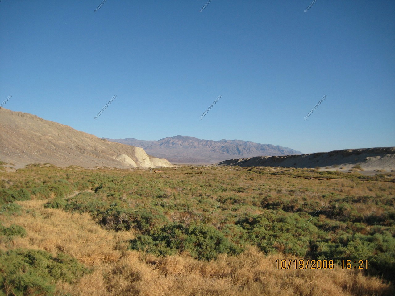
Very green for Death Valley
Water... We were starting to have doubts if we would find any.
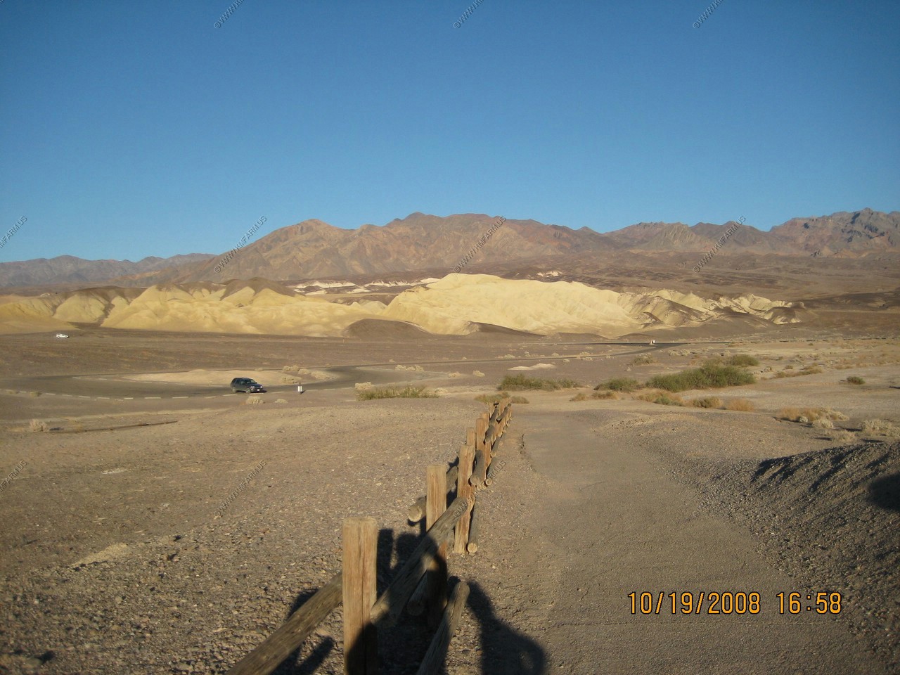
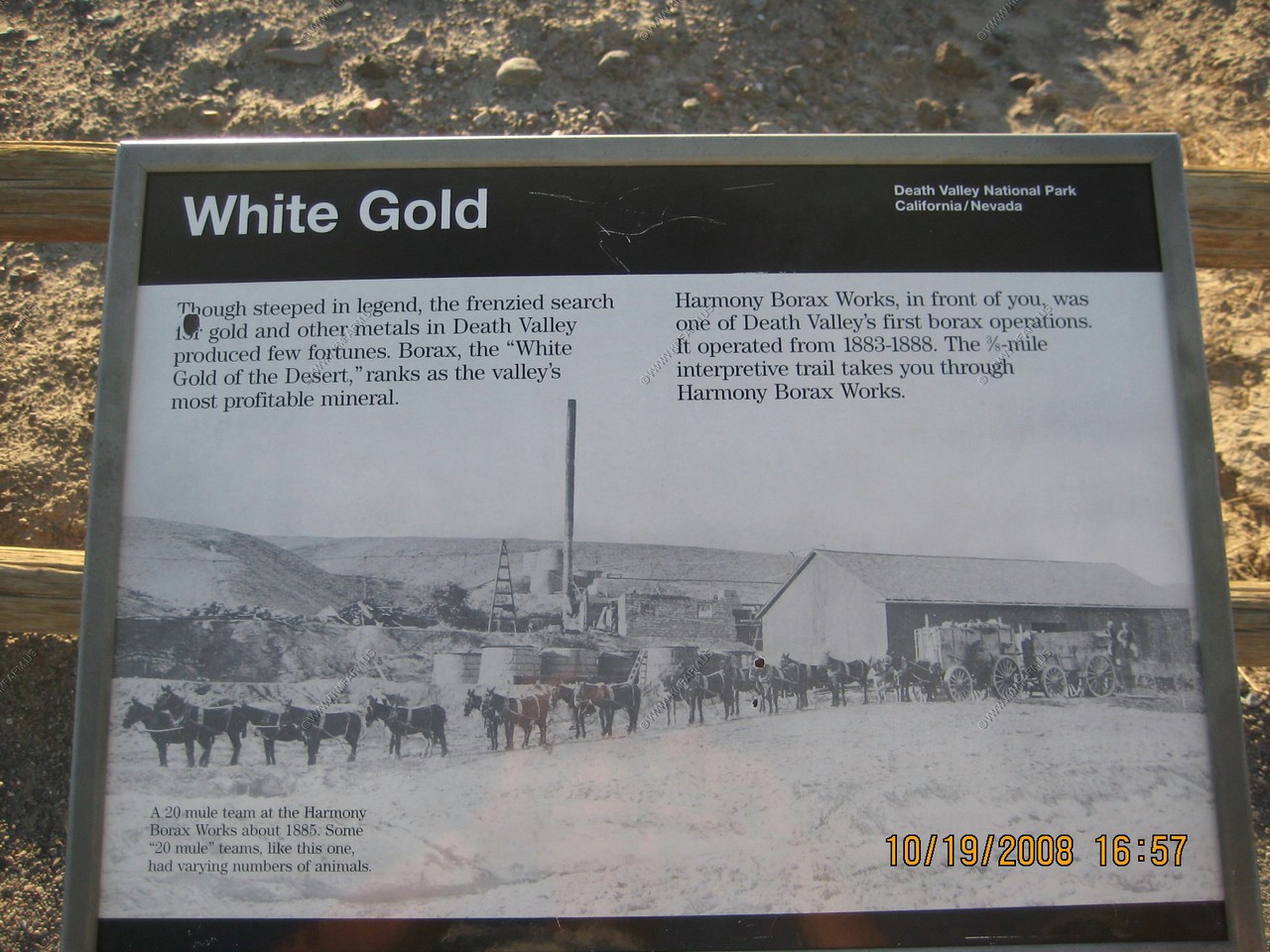
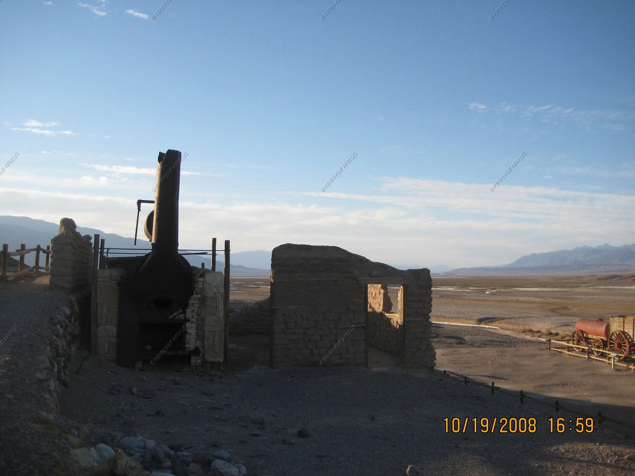
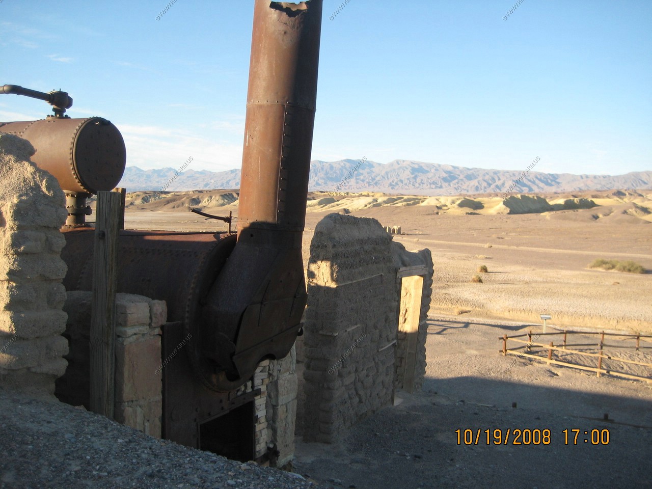
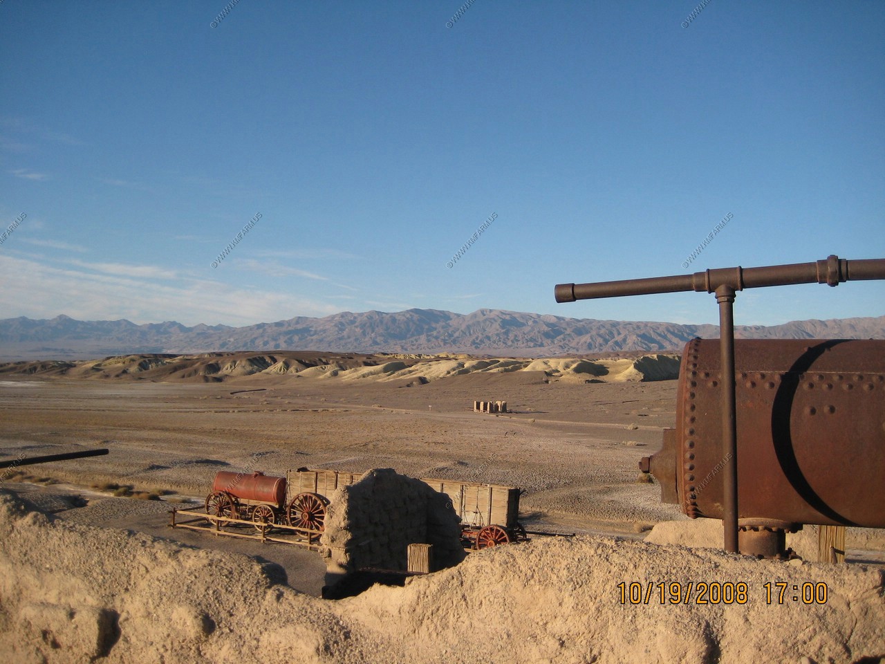
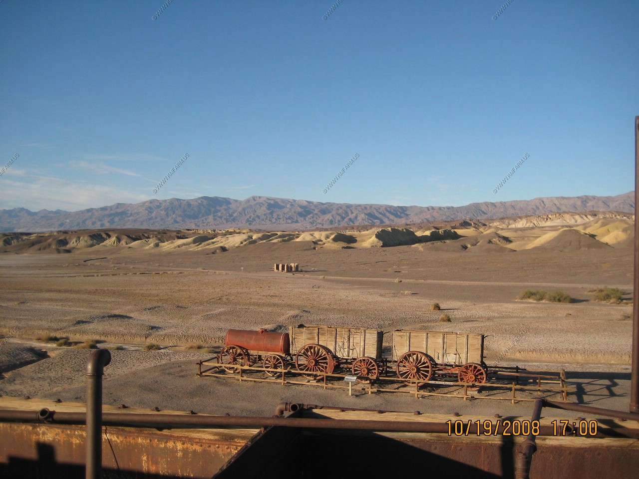
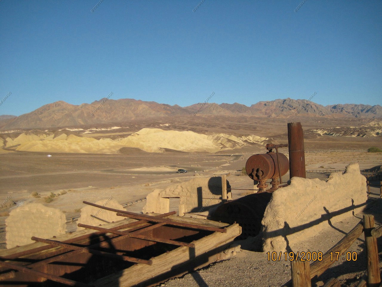
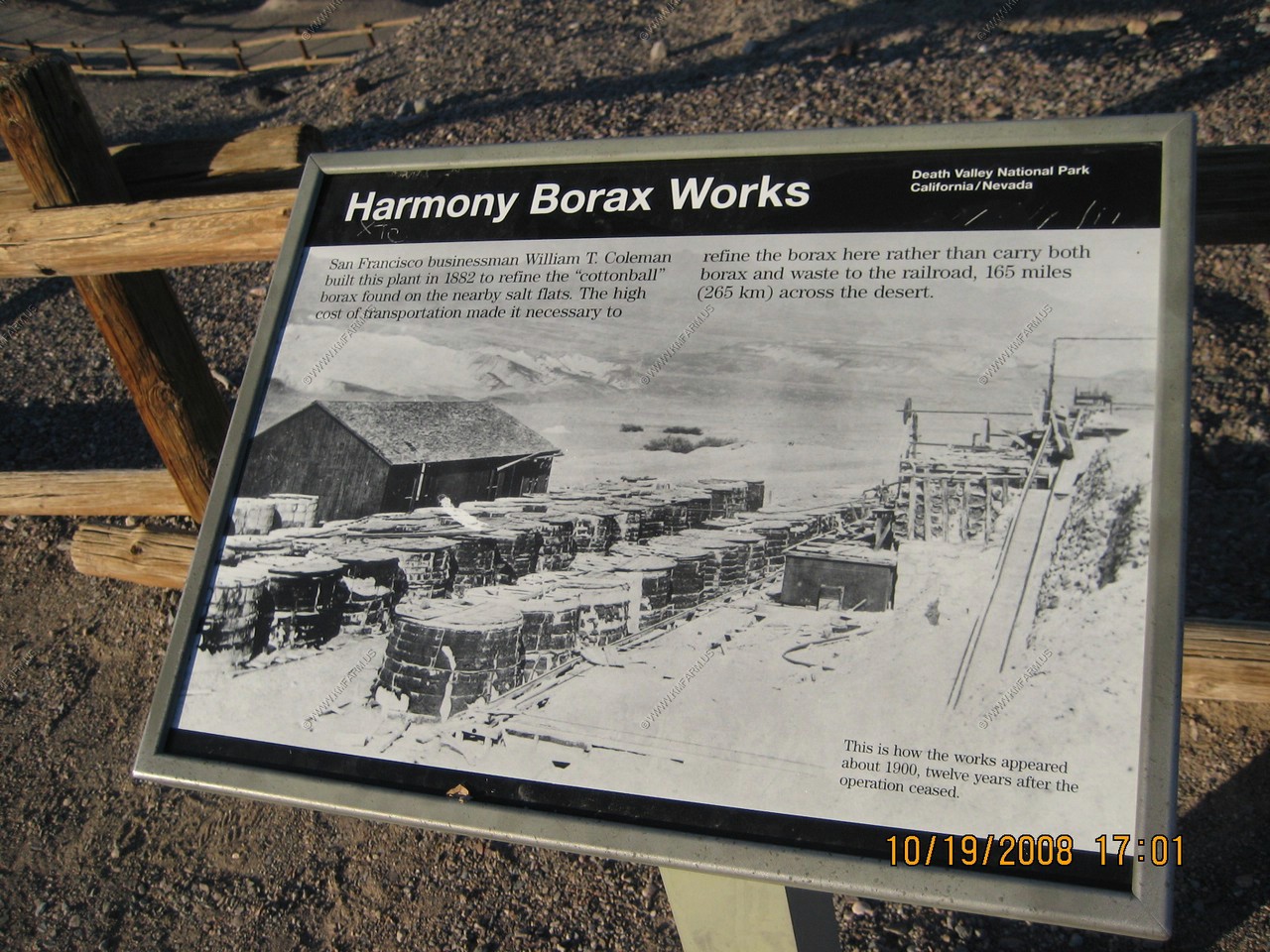
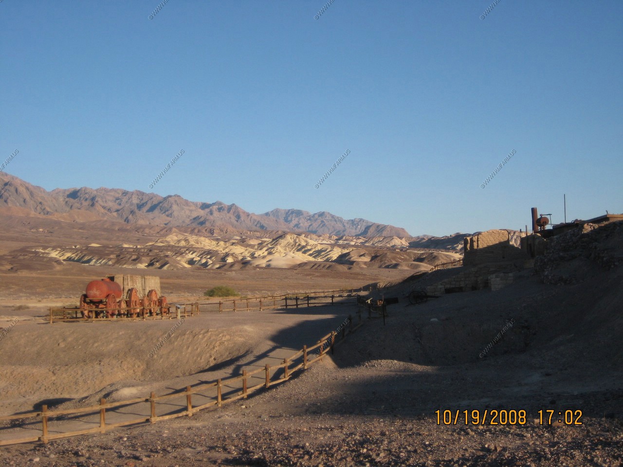
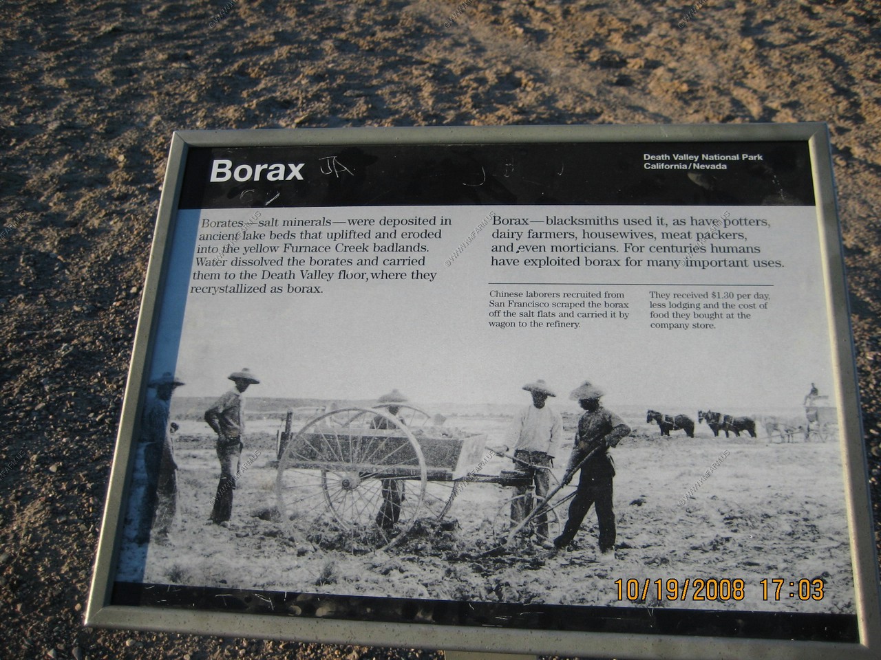
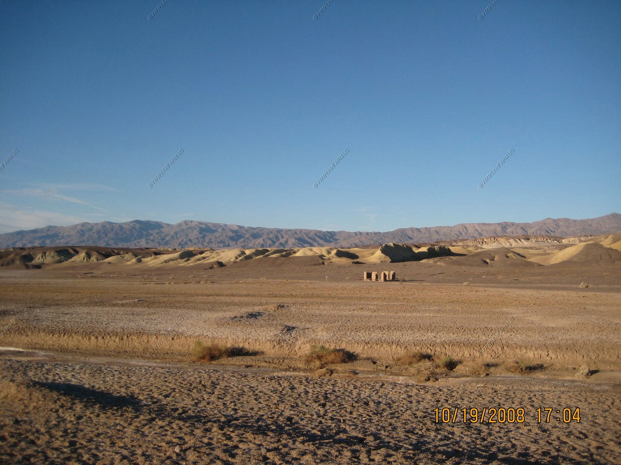
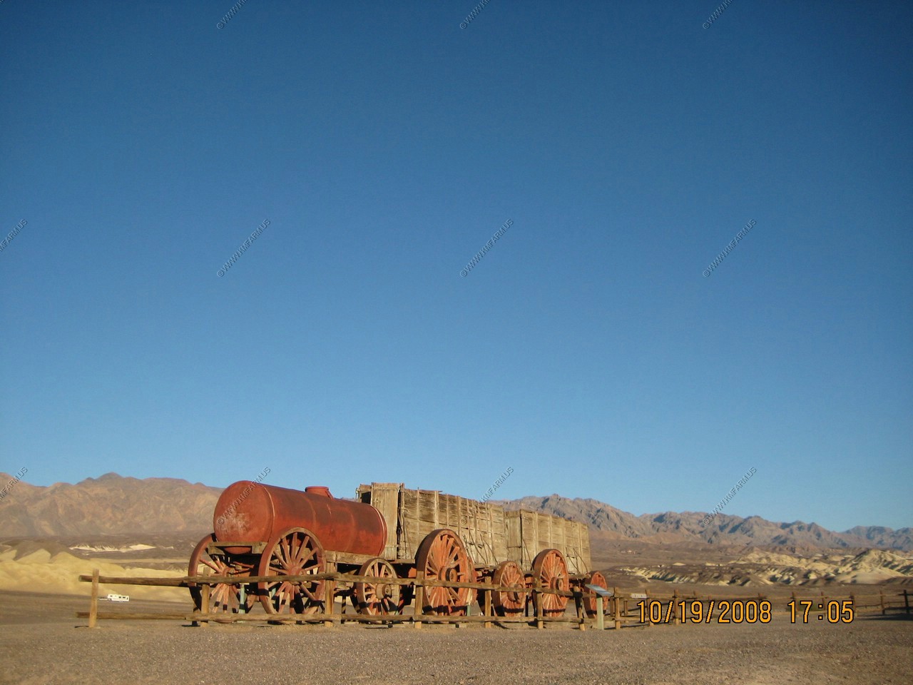
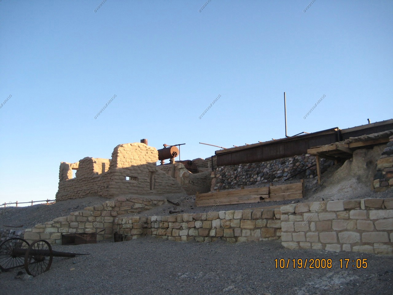
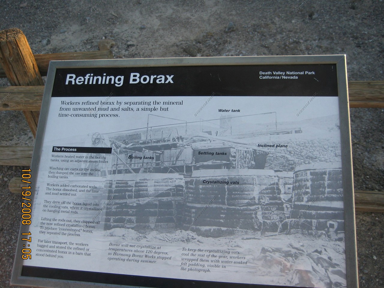
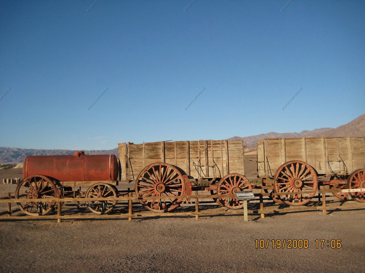
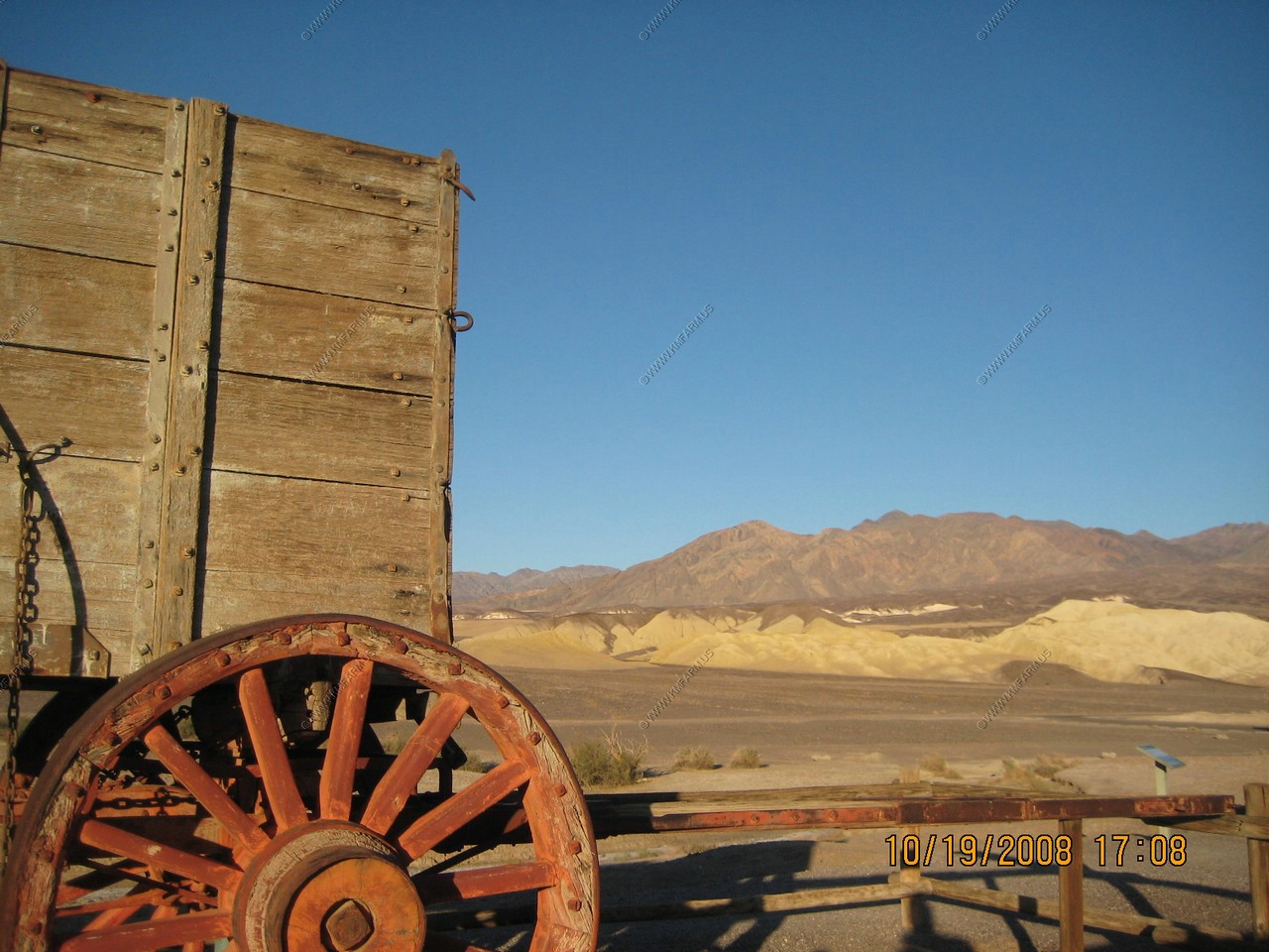
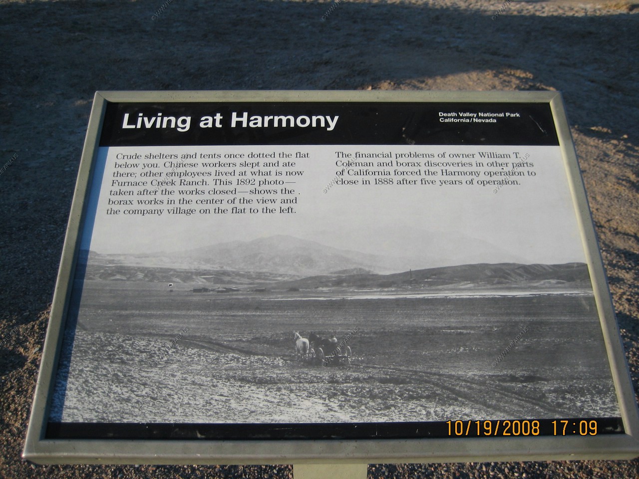
Harmony Borax Works Interpretive Trail
The Harmony Borax Works Interpretive Trail takes visitors around the ruins of a borax processing plant that was active during the 1880s. This historic site is approached by an easy 1/4 mile paved path from the Harmony Borax Works parking lot located one mile north of Furnace Creek on Highway 190. The trail loops around the ruins of the 1800's processing plant.
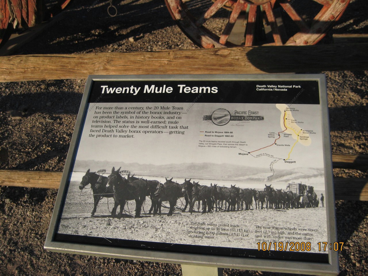
There are interpretive signs along the path describing features of this 1880's processing plant. The work of gathering the ore was done by Chinese workmen and was then hauled 165 miles by twenty mule teams to the railroad between 1883 and 1889. The "20 mule team" on the boxes of Boraxo soap is the one in Death Valley.
Darn, we are fighting for parking again

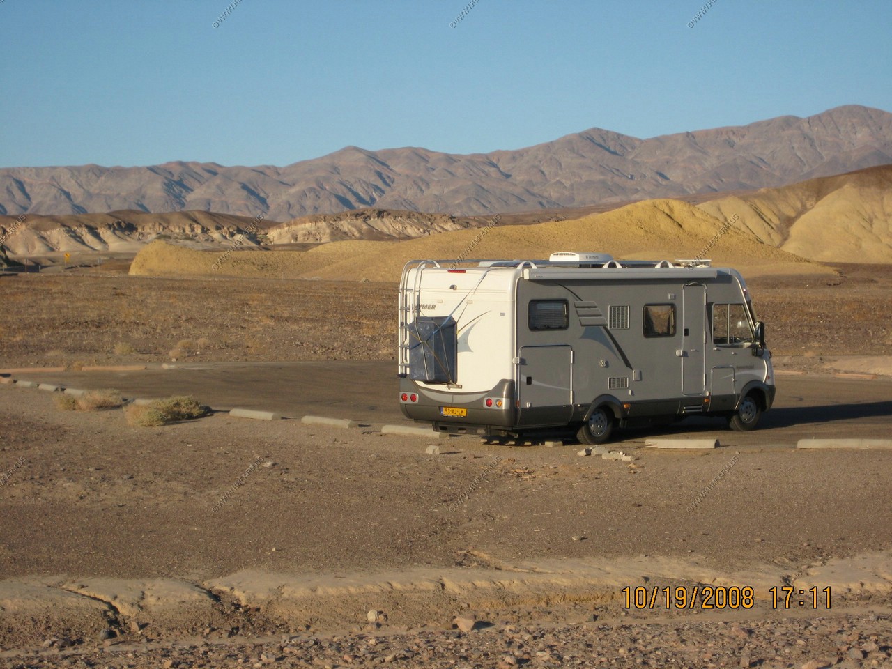
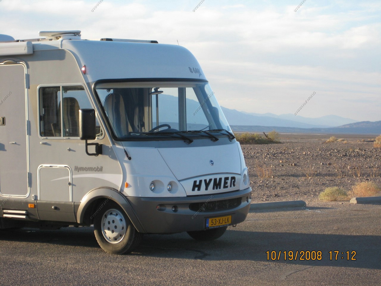
Nice to ship over your motorhome.