Last Updated: 21-AUG-2018
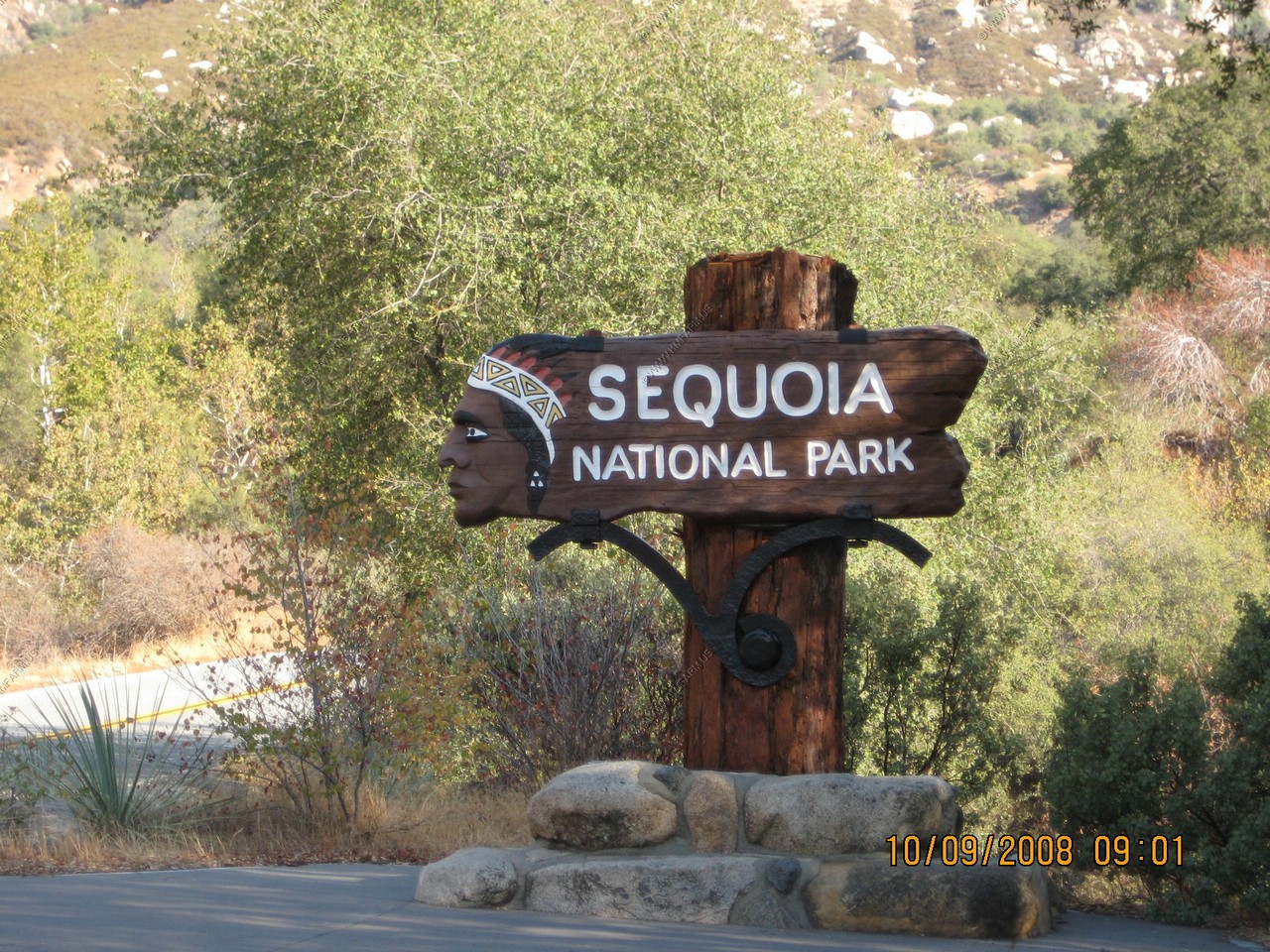
We entered the park from Three Rivers, California on Cal 198. We stopped at the Foothills Visitor Center to plan our day. Mileage wise we only had to travel appx. 50 miles to Wuksachi Village
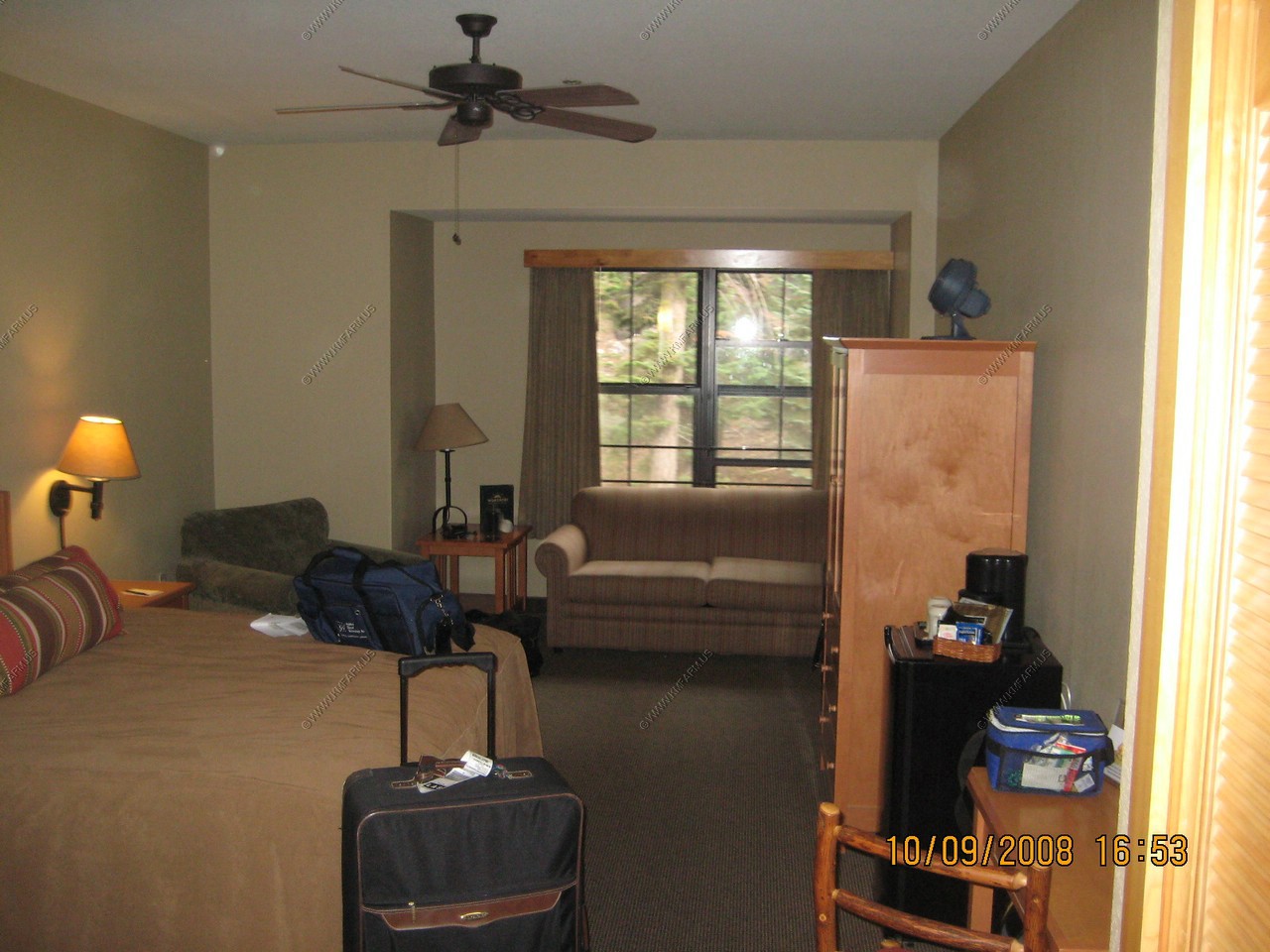
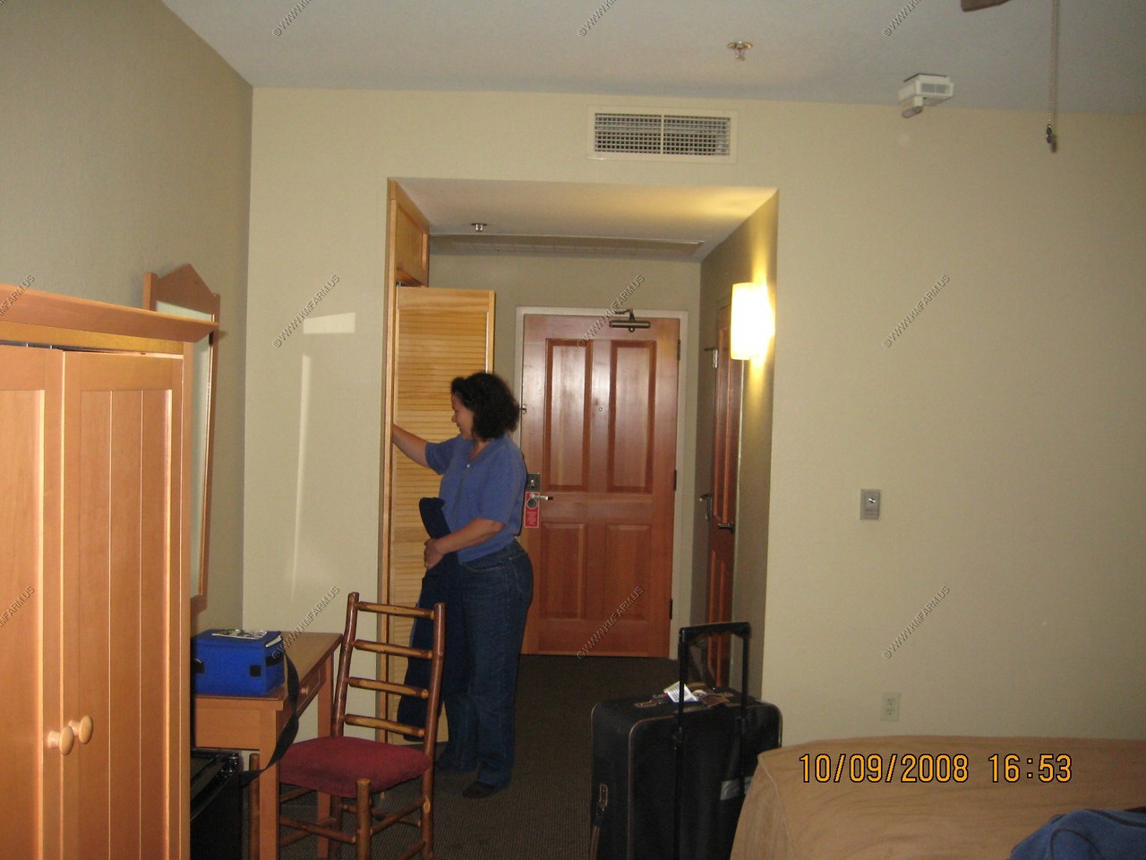
We ate dinner at the Wuksachi Lodge and our room was a short walk away. This was the nicest room we stayed in while in California. Very Classy ! But the walls were thin and the German tourists that out numbered us Americans make lots of noise in the night ! The dinner was good but a bit pricey as it was the only restaurant in that part of the park.
Internet access was very good but only in the lodge.
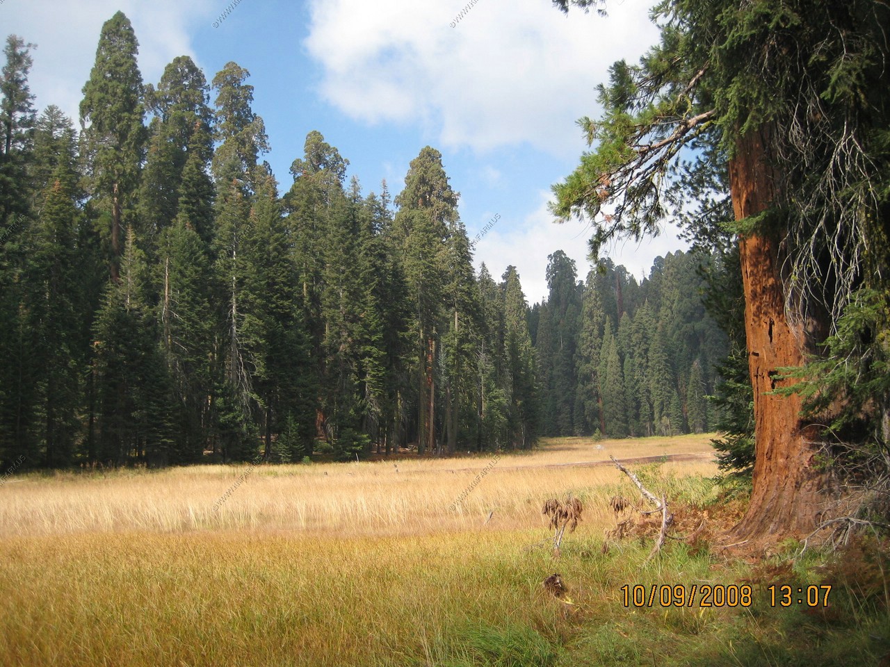
Sequoia National Park
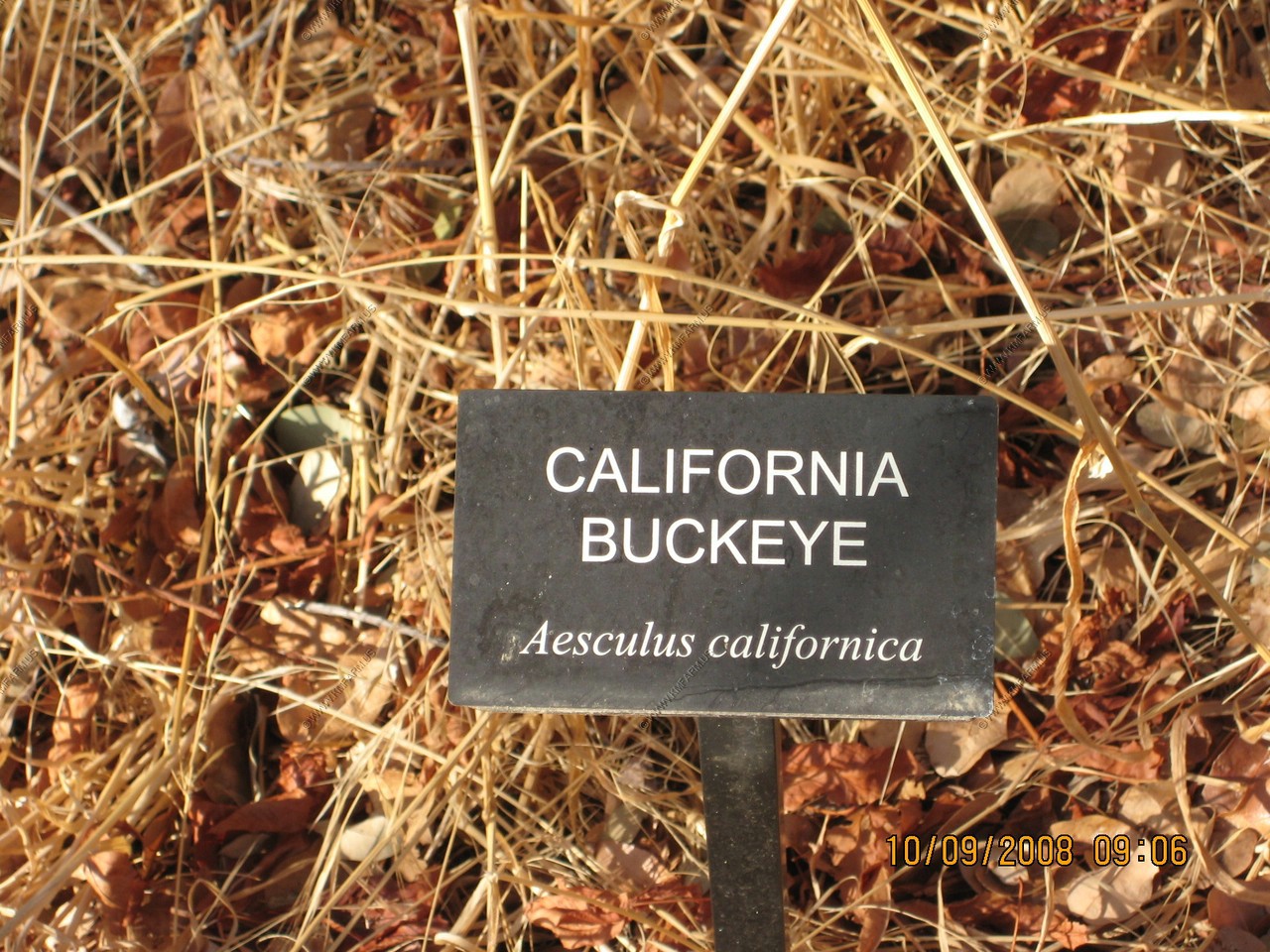
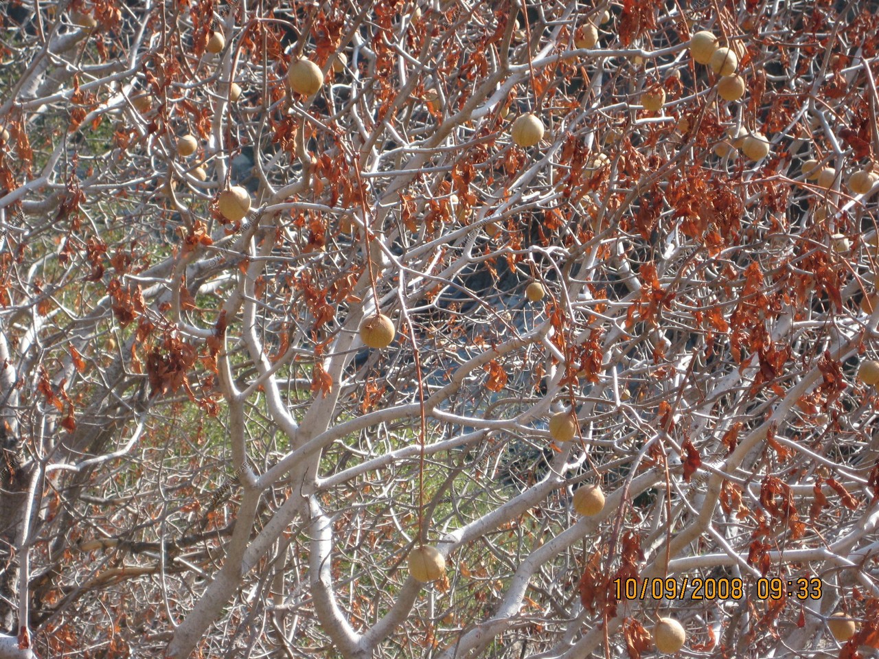
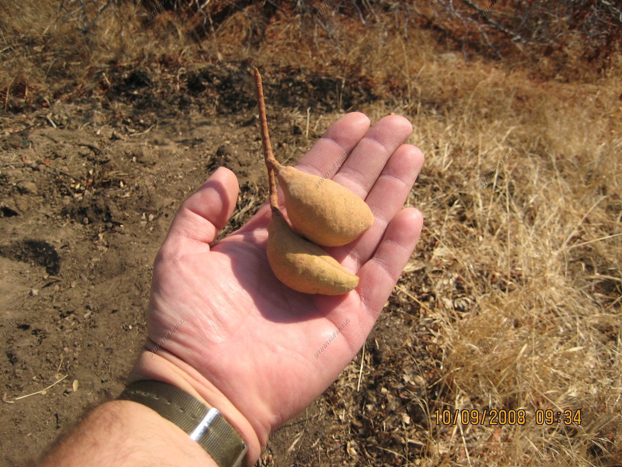
Along the road we were seeing California Buckeye's (Aesculus Californica) They seemed to like the 2500-5000 ft. elevation range
Tunnel Rock

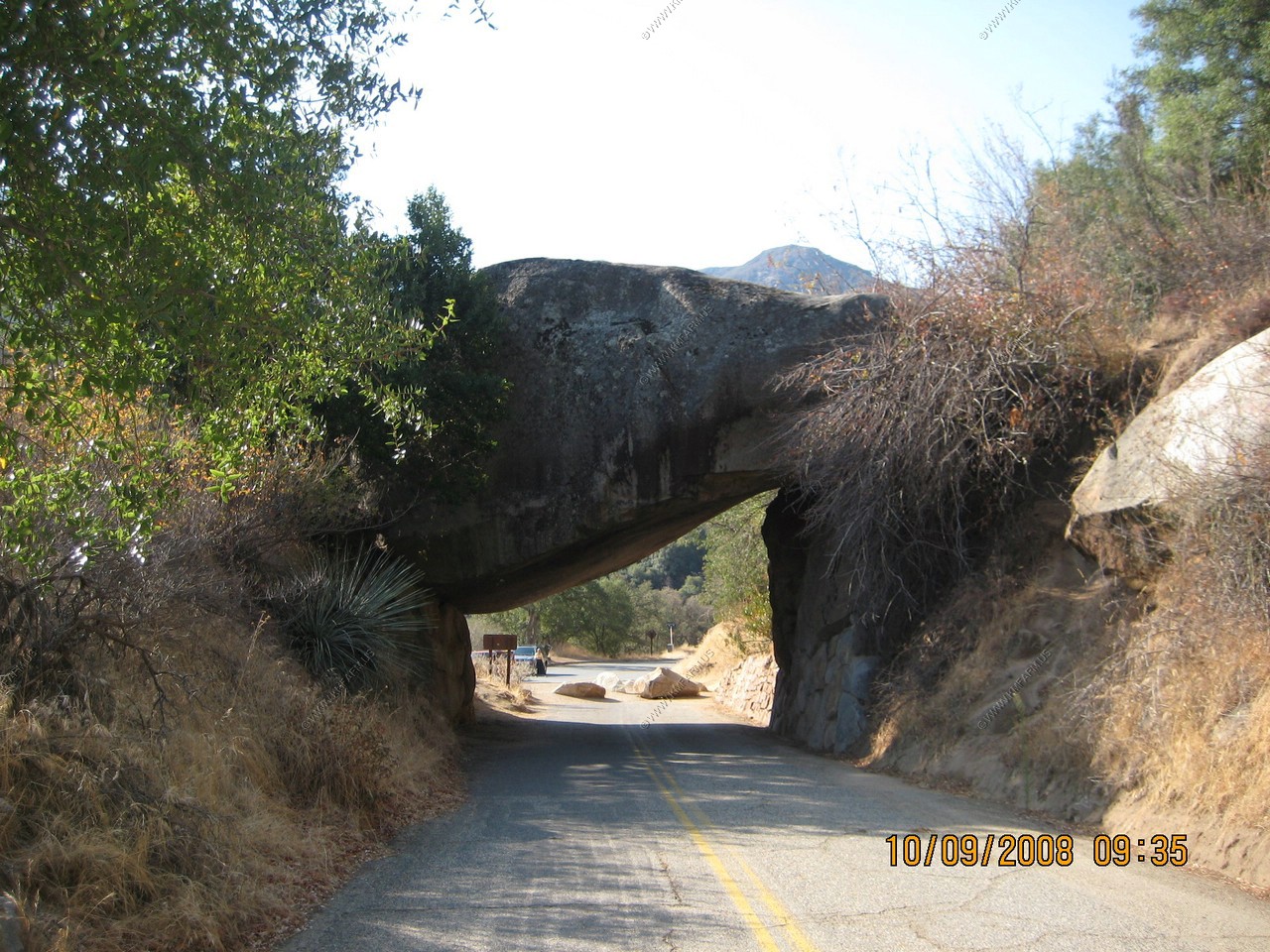
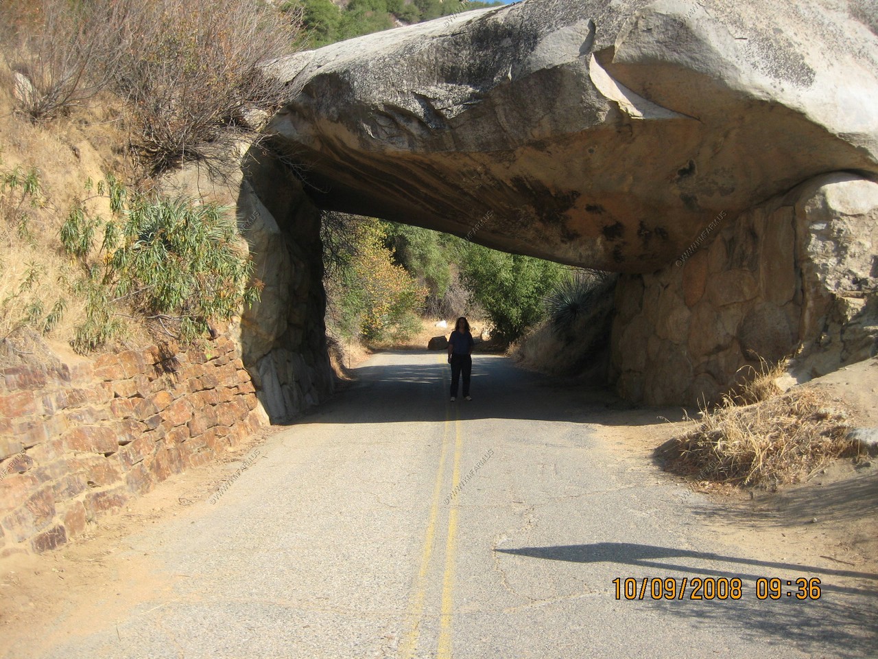
One of the reasons that they don't allow the vehicles thru here anymore.
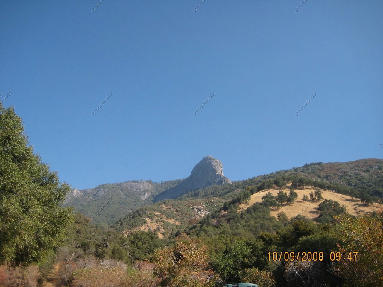
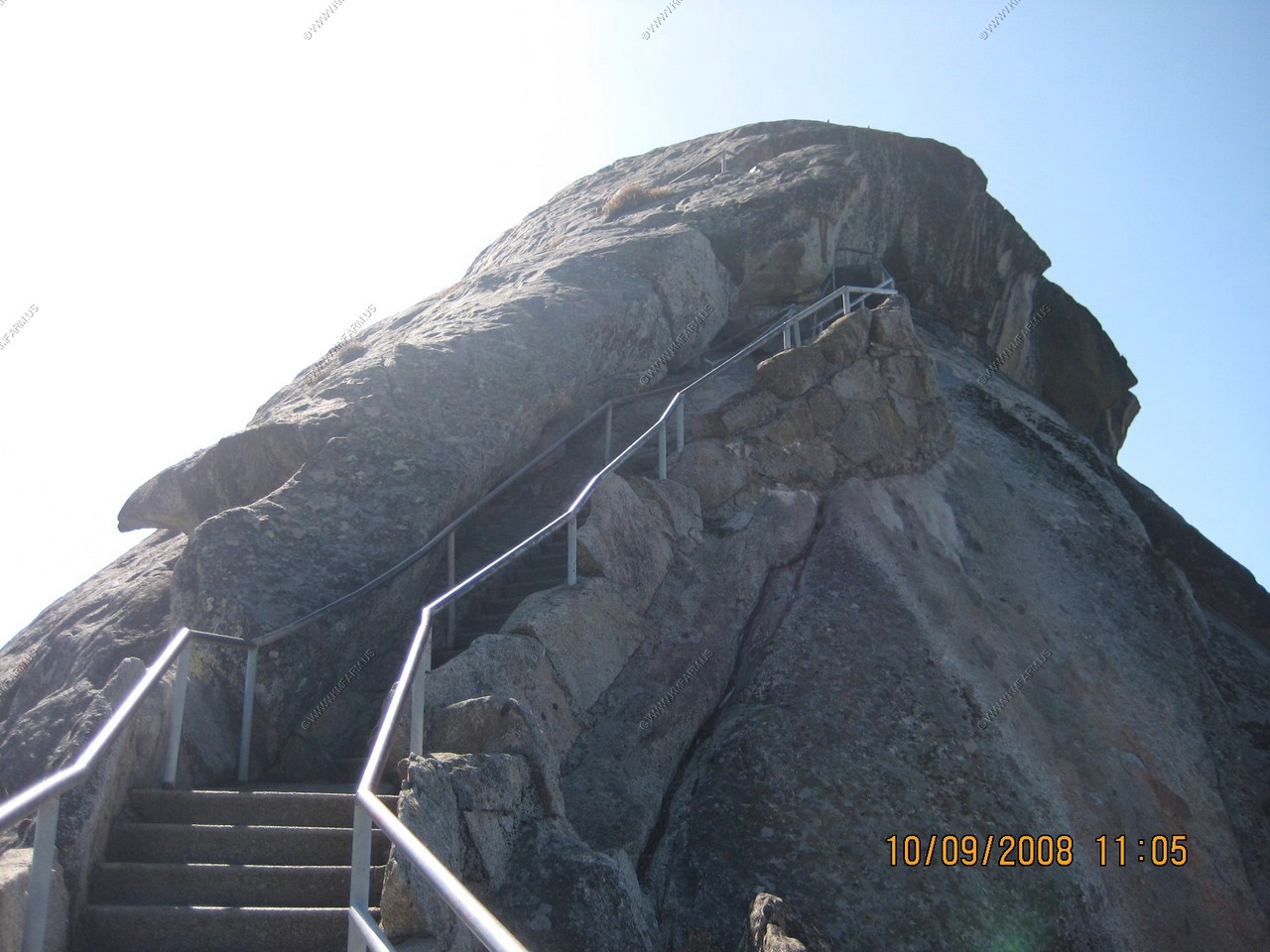
View of Moro Rock (El. 6,725) Little did we realize that we would be standing on the top soon.
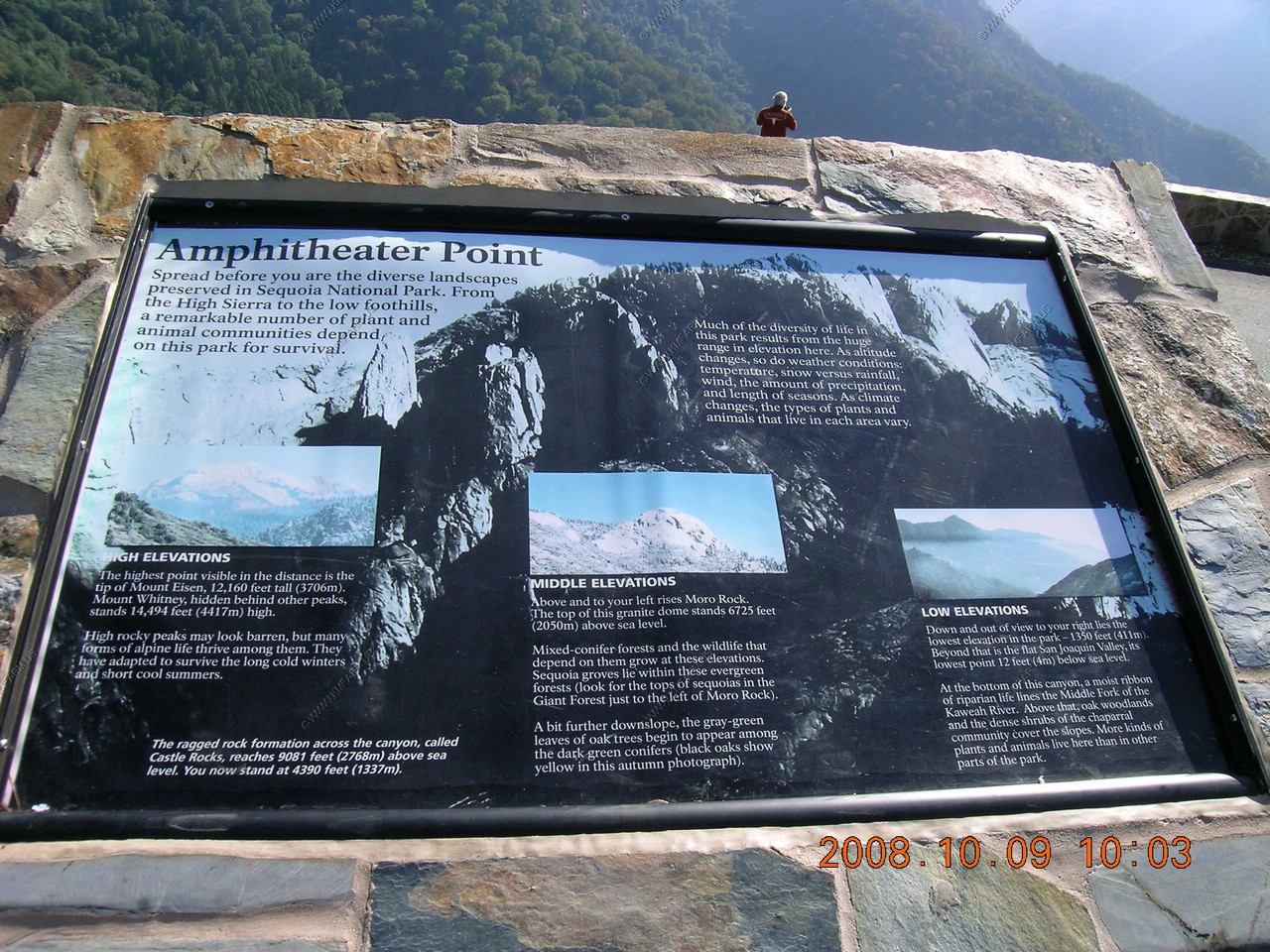
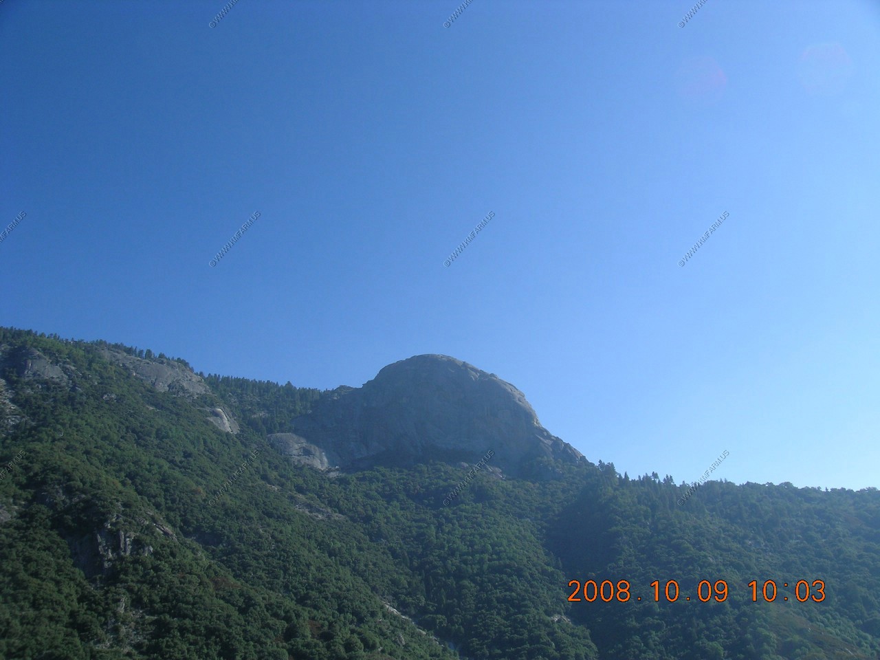
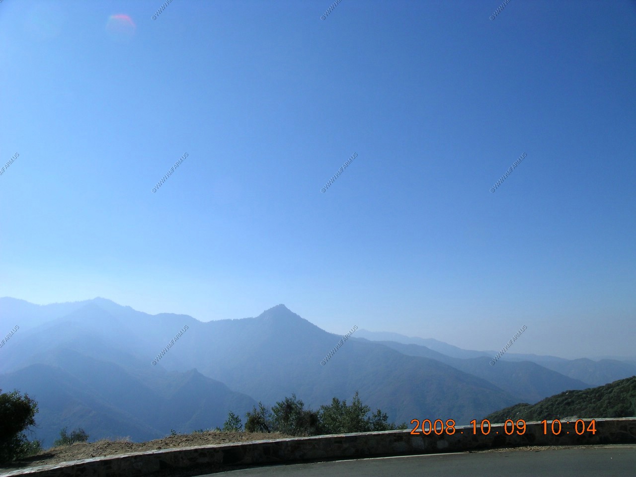
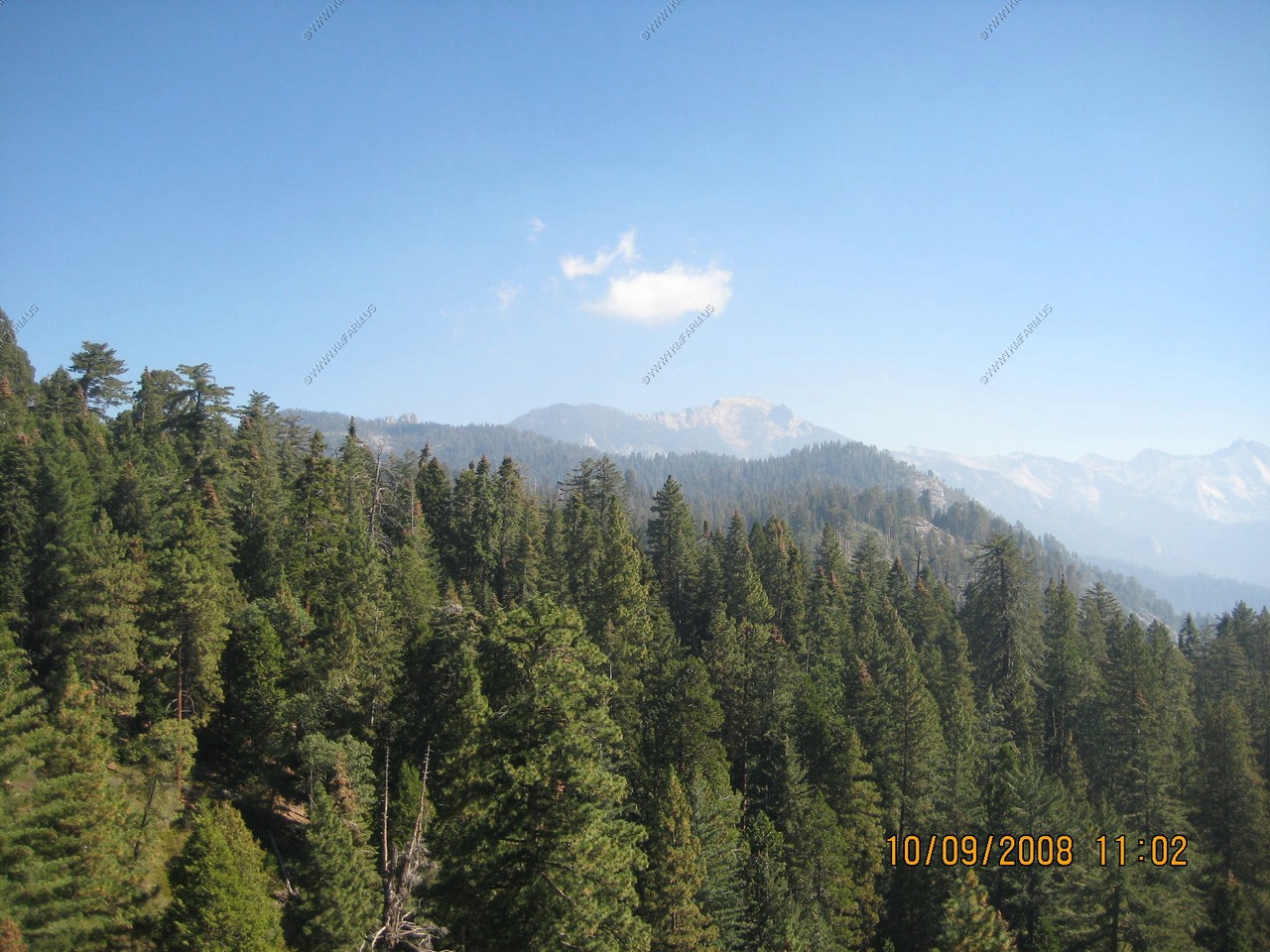
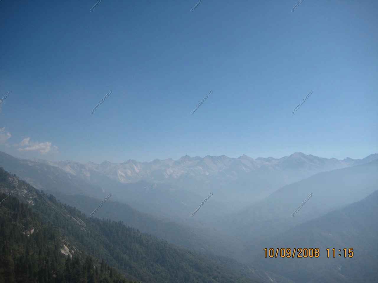
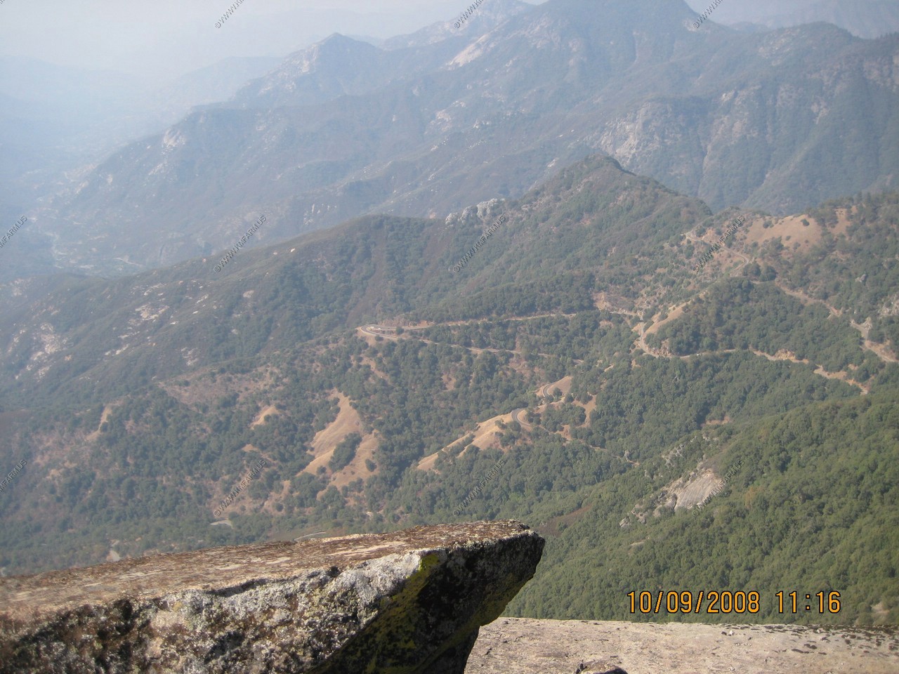
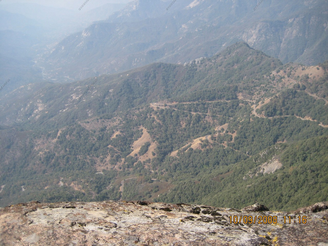
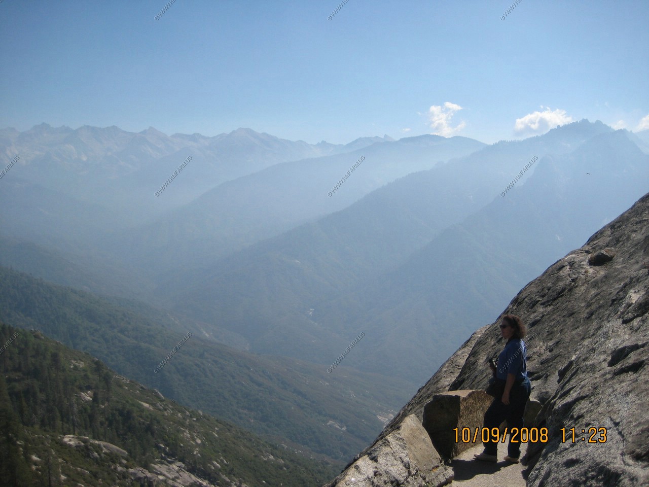
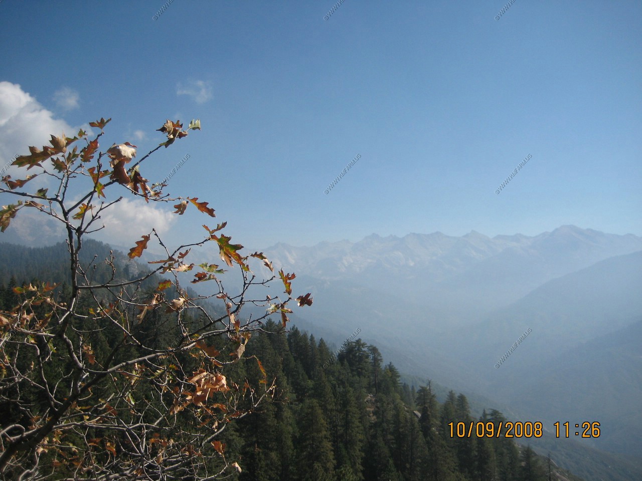
Amphitheater Point. Looking at Moro Rock and a nice view of California air pollution
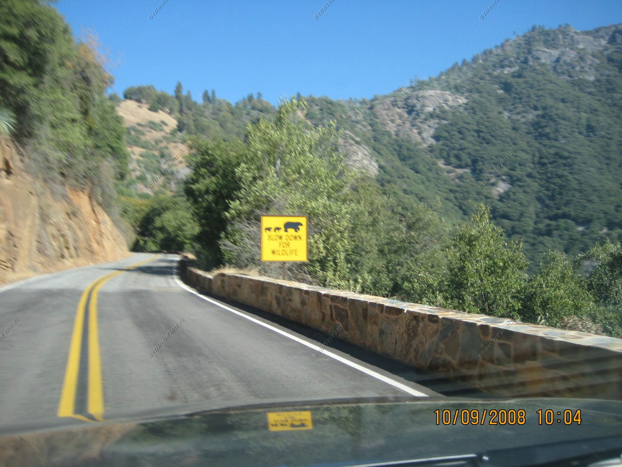
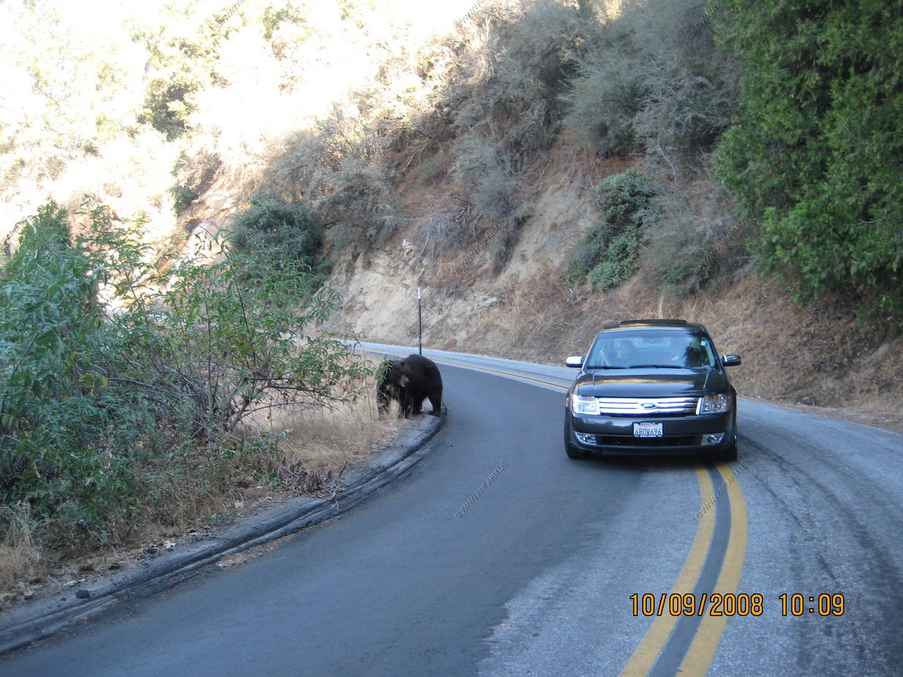
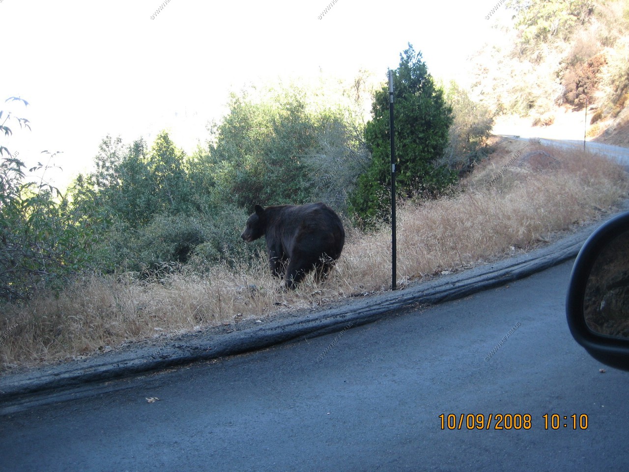
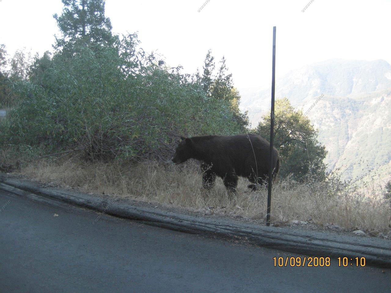
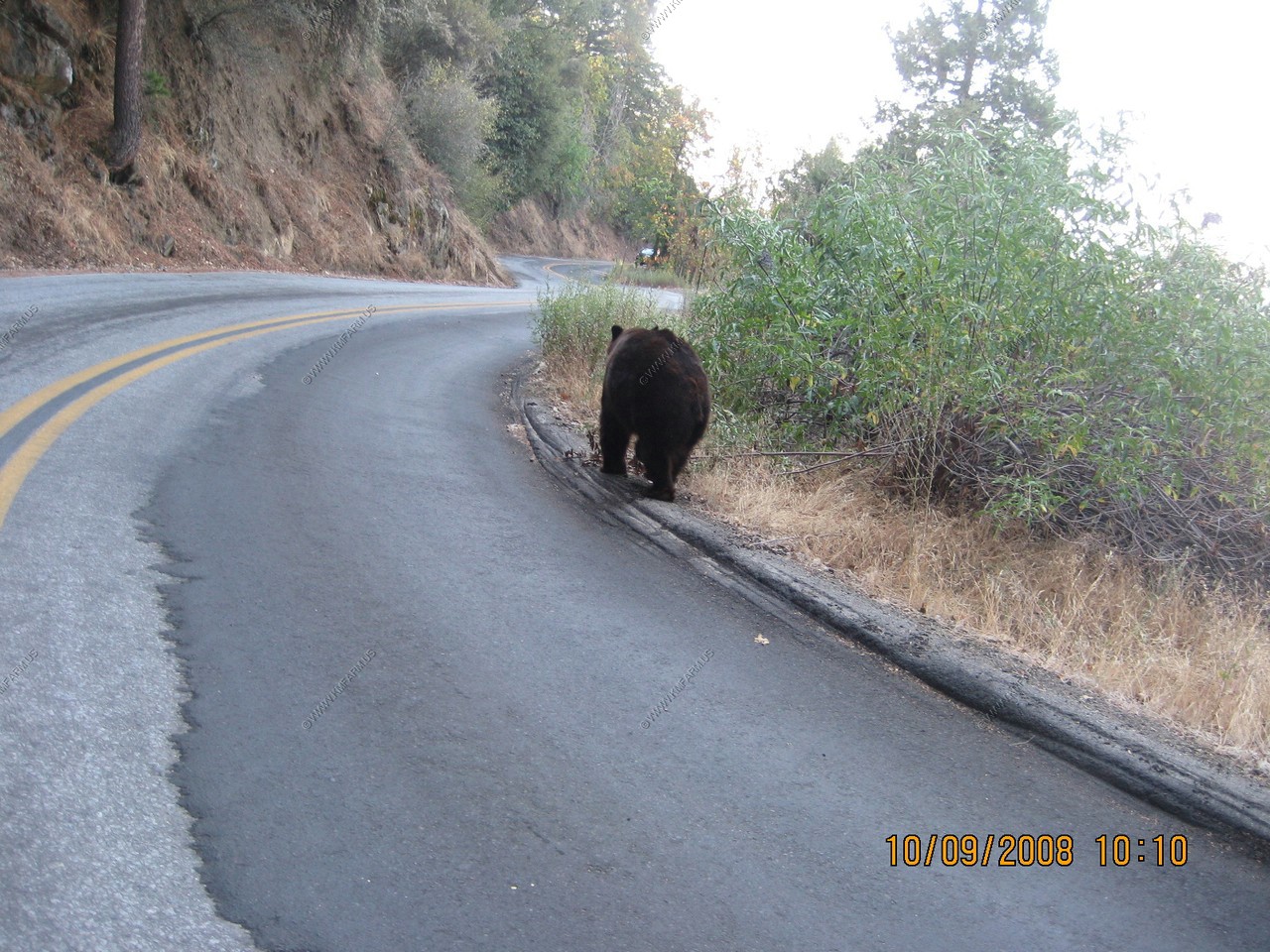
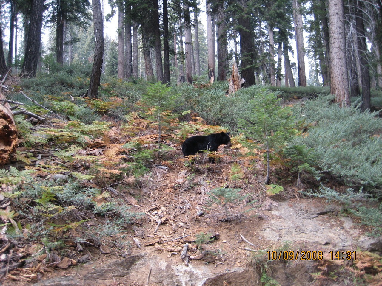
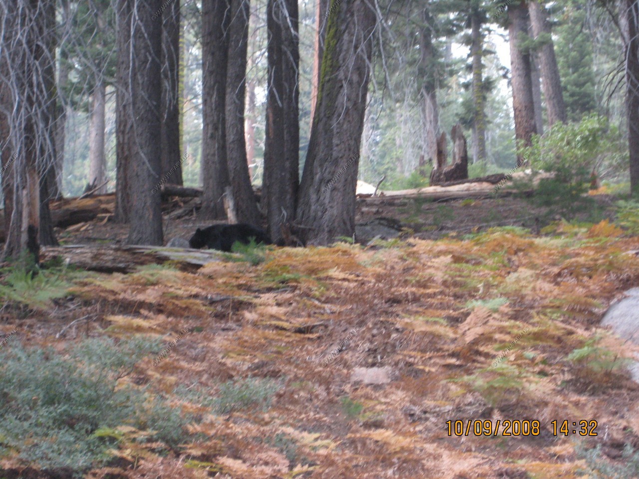
The sign was right. Large Black Bear walking along the road
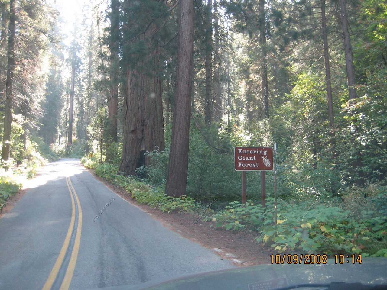
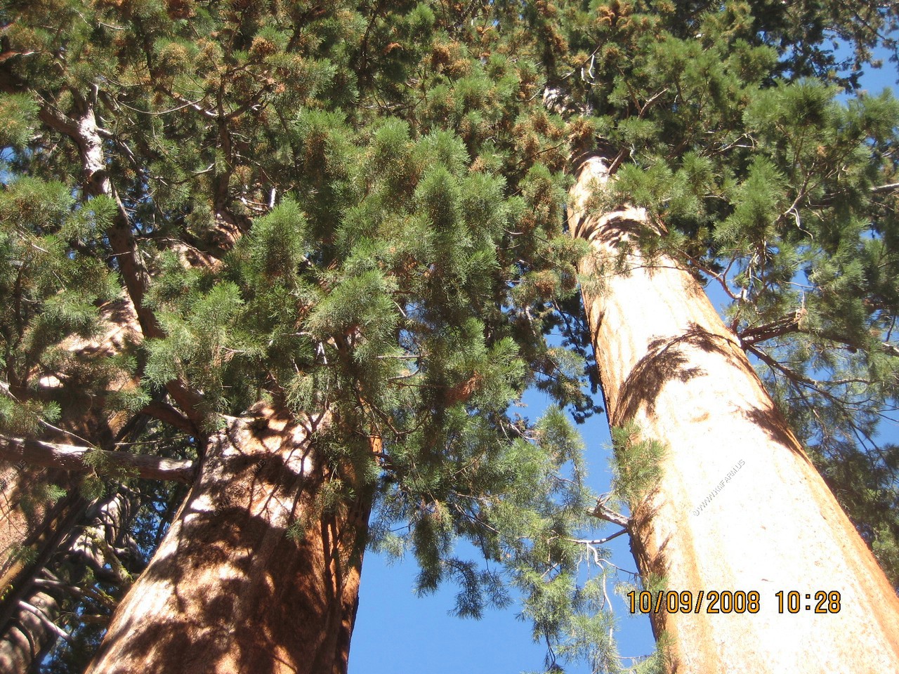
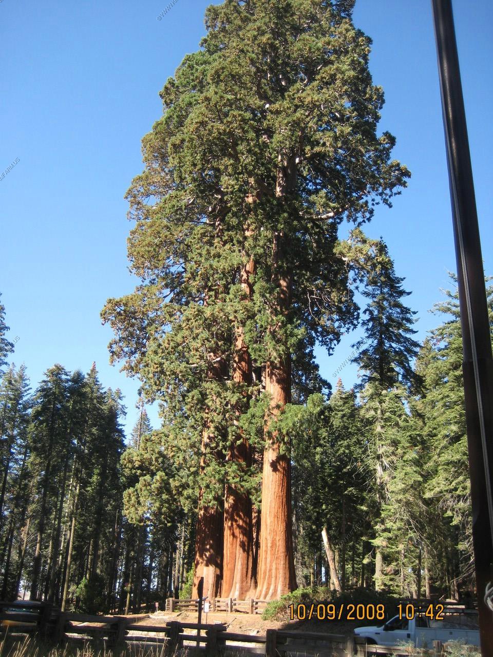
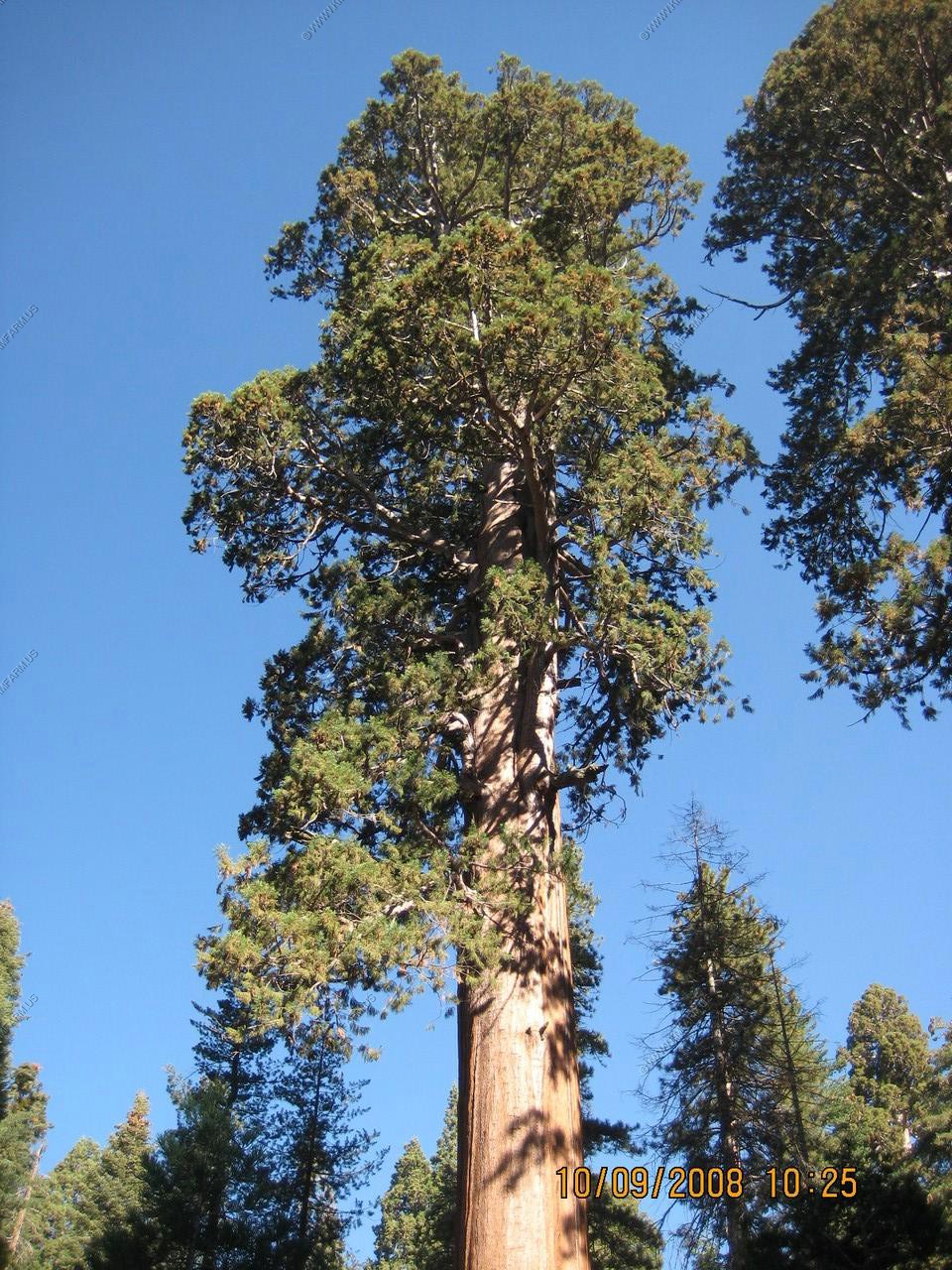
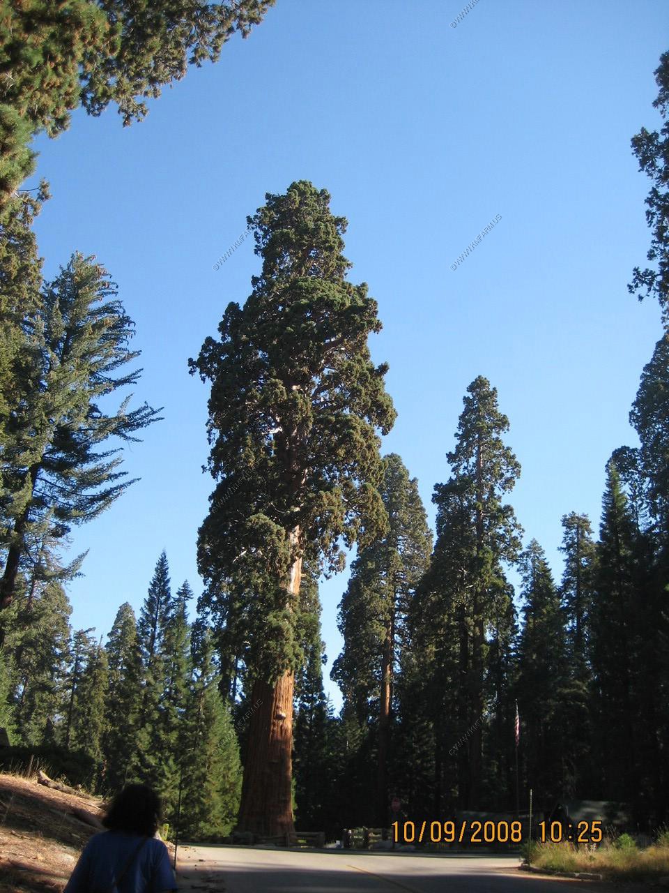
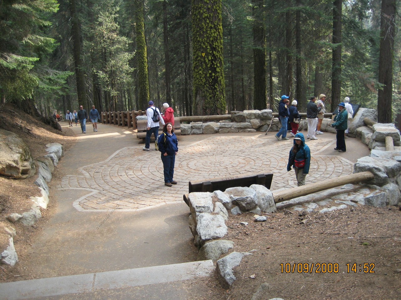
Giant Forest time
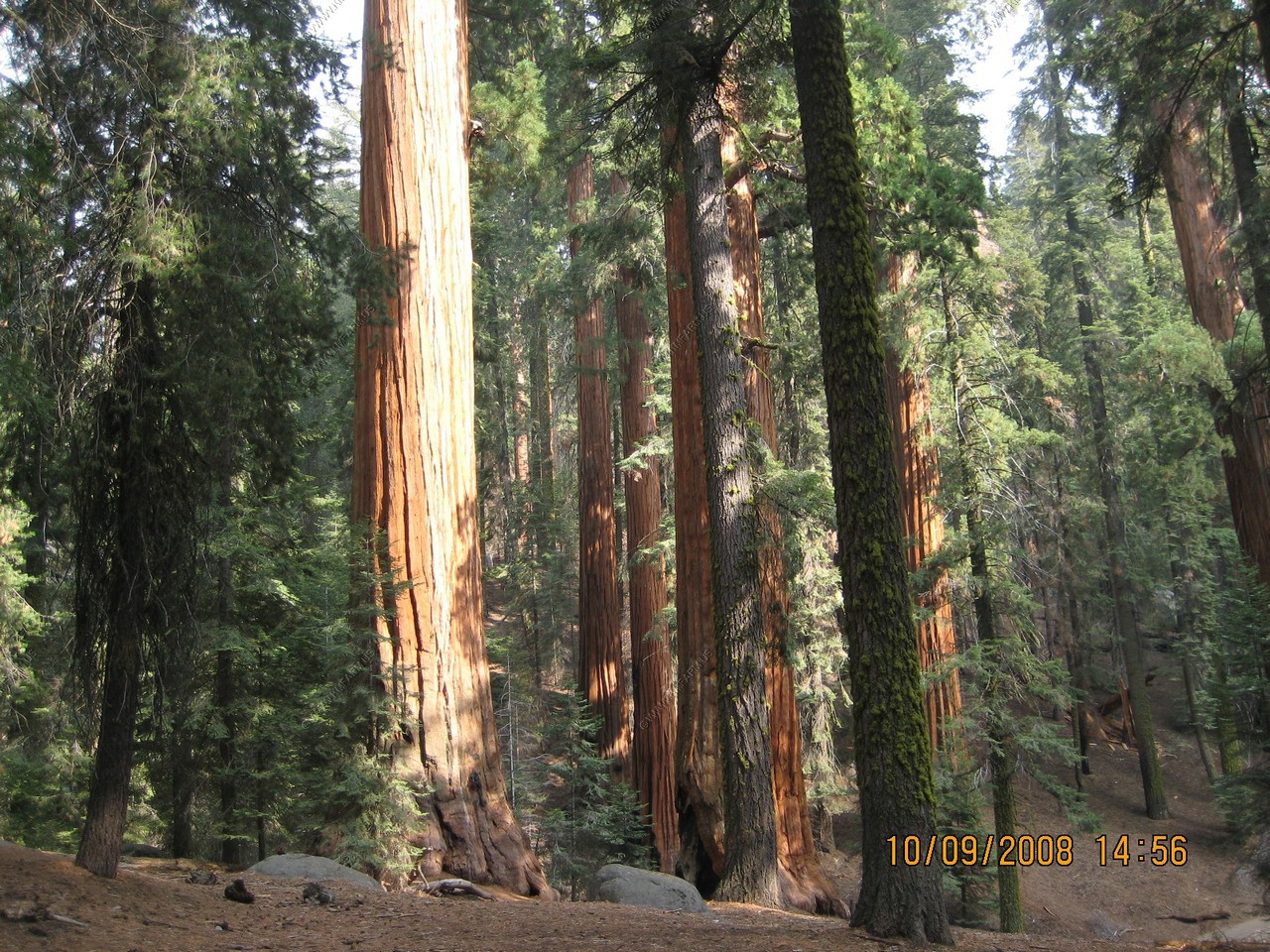

Giant Forest Museum (El. 6409)

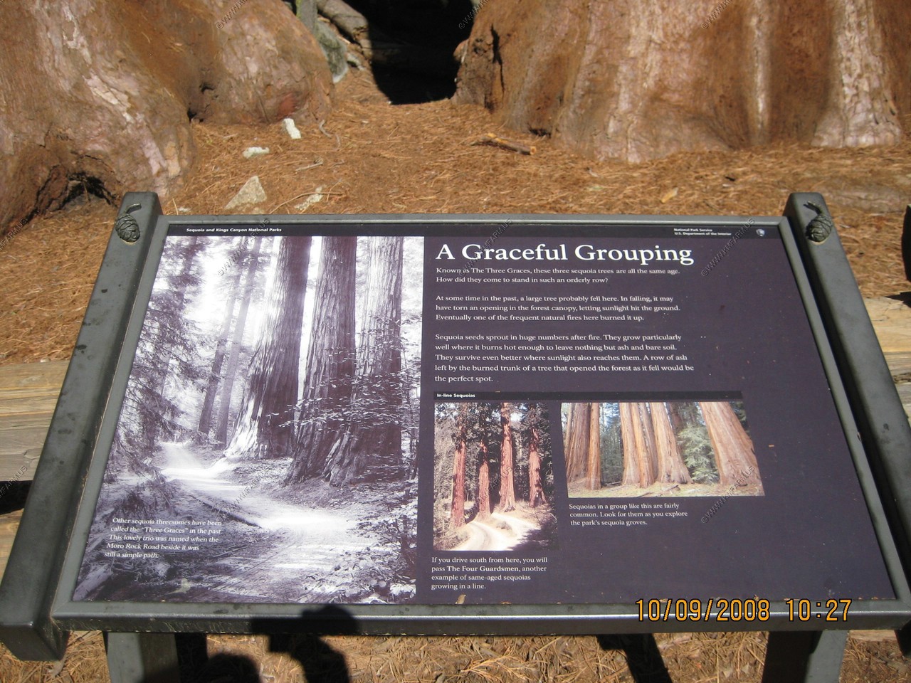
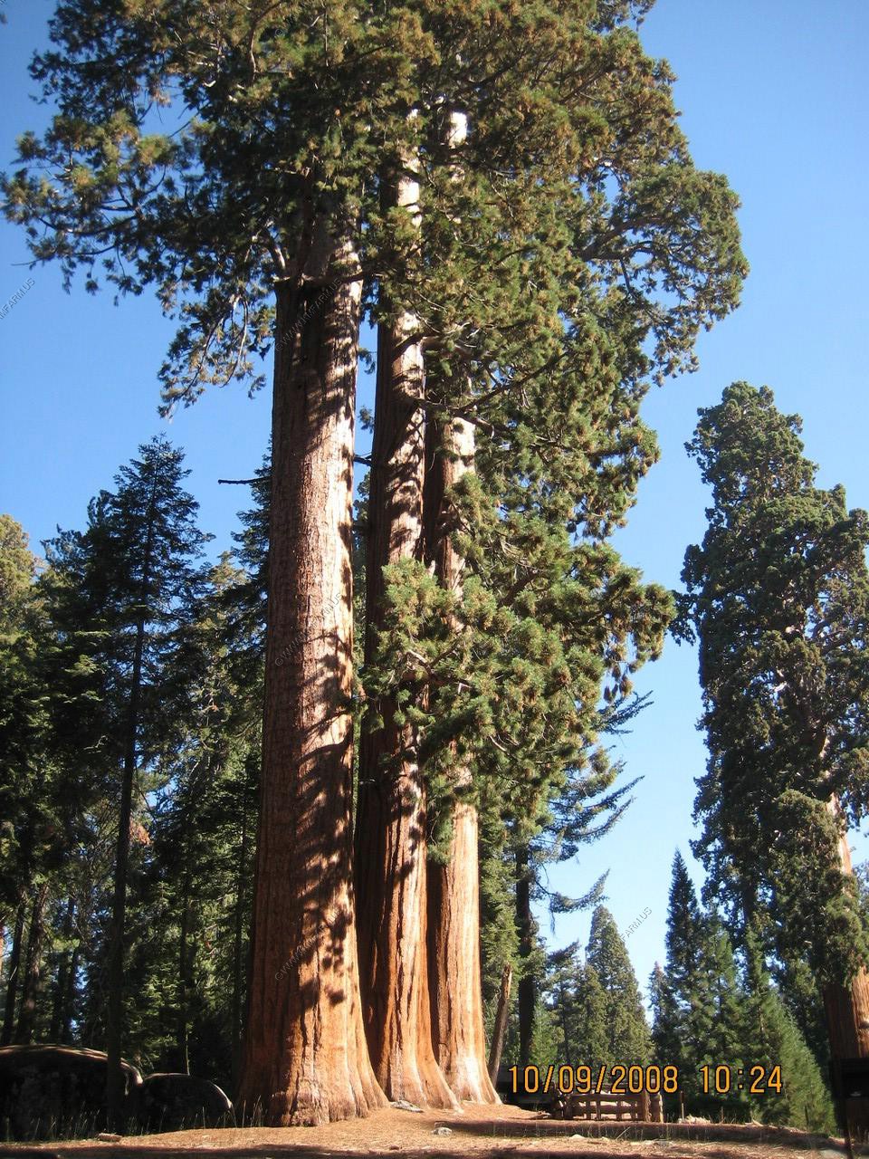
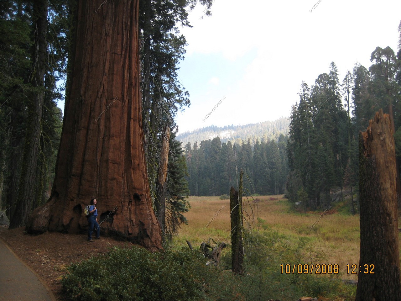
Across from the Giant Forest Museum is the Graceful Grouping. Mary standing in front of one of the trees. Big but nothing compared to what we would see later in the day.


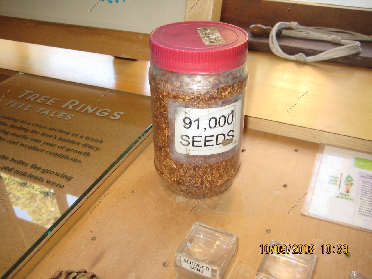
In the museum they show you how small the Giant Sequoia seed is with a jar with 91,000 seeds in it
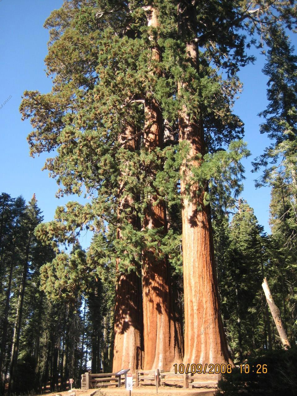
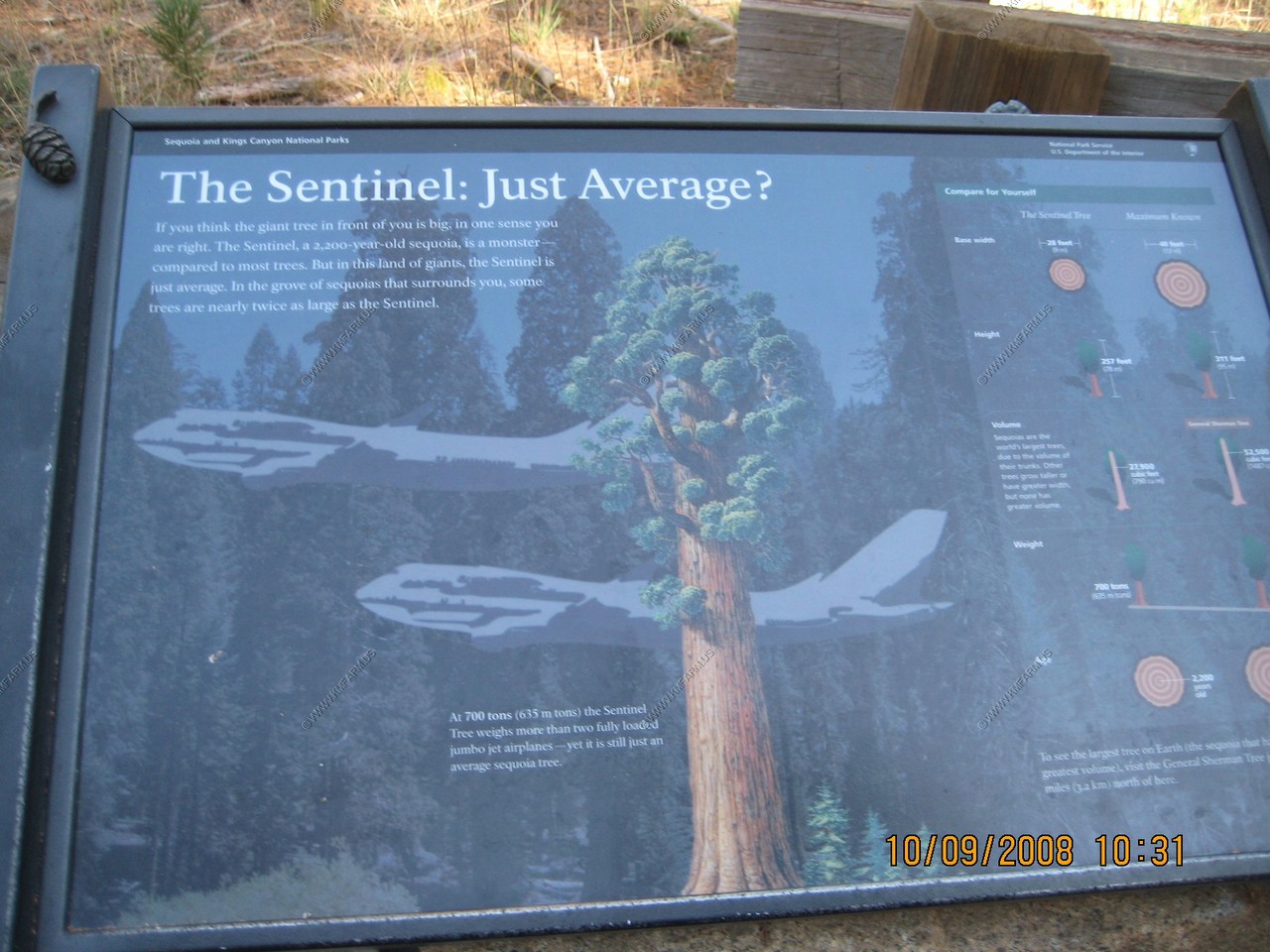
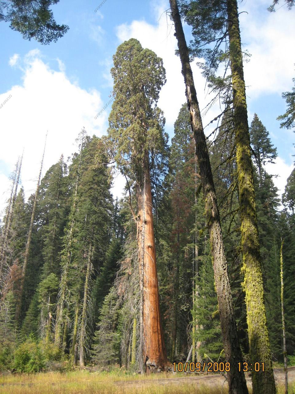
The Sentinel
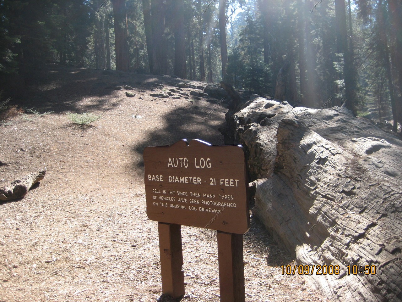
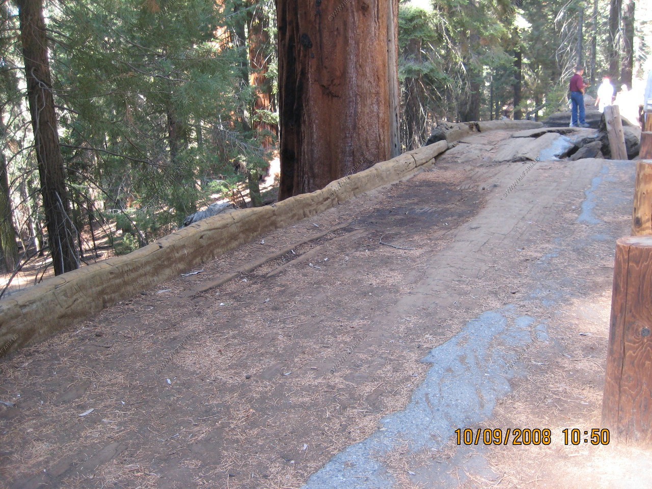
Auto Log
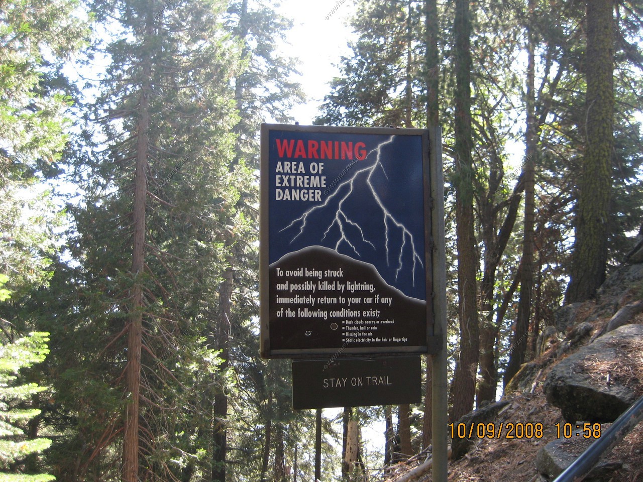
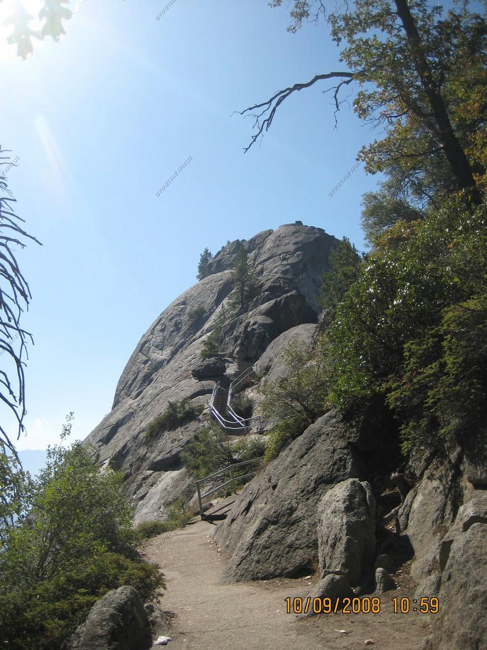
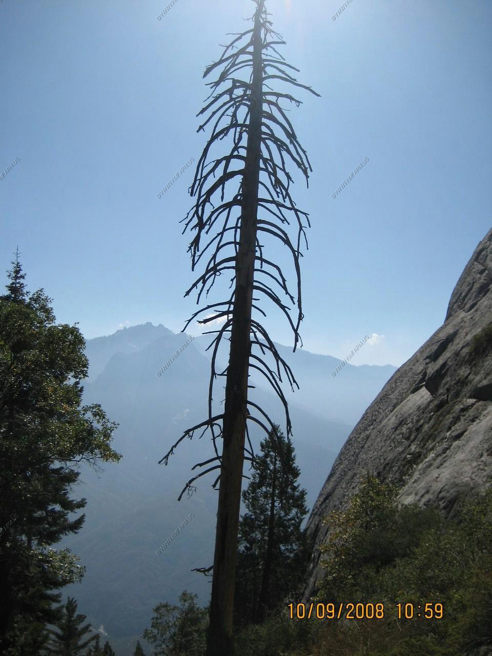
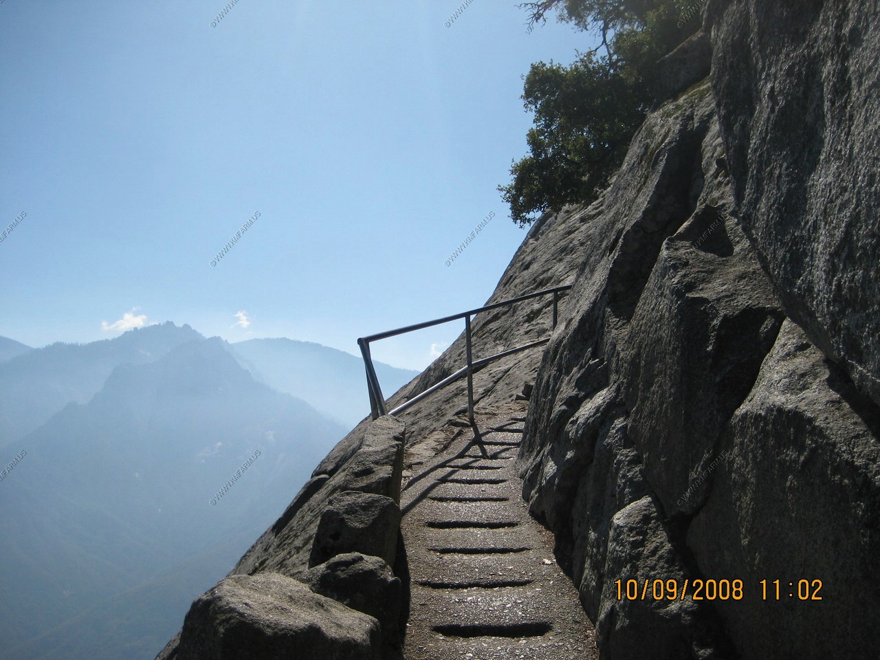
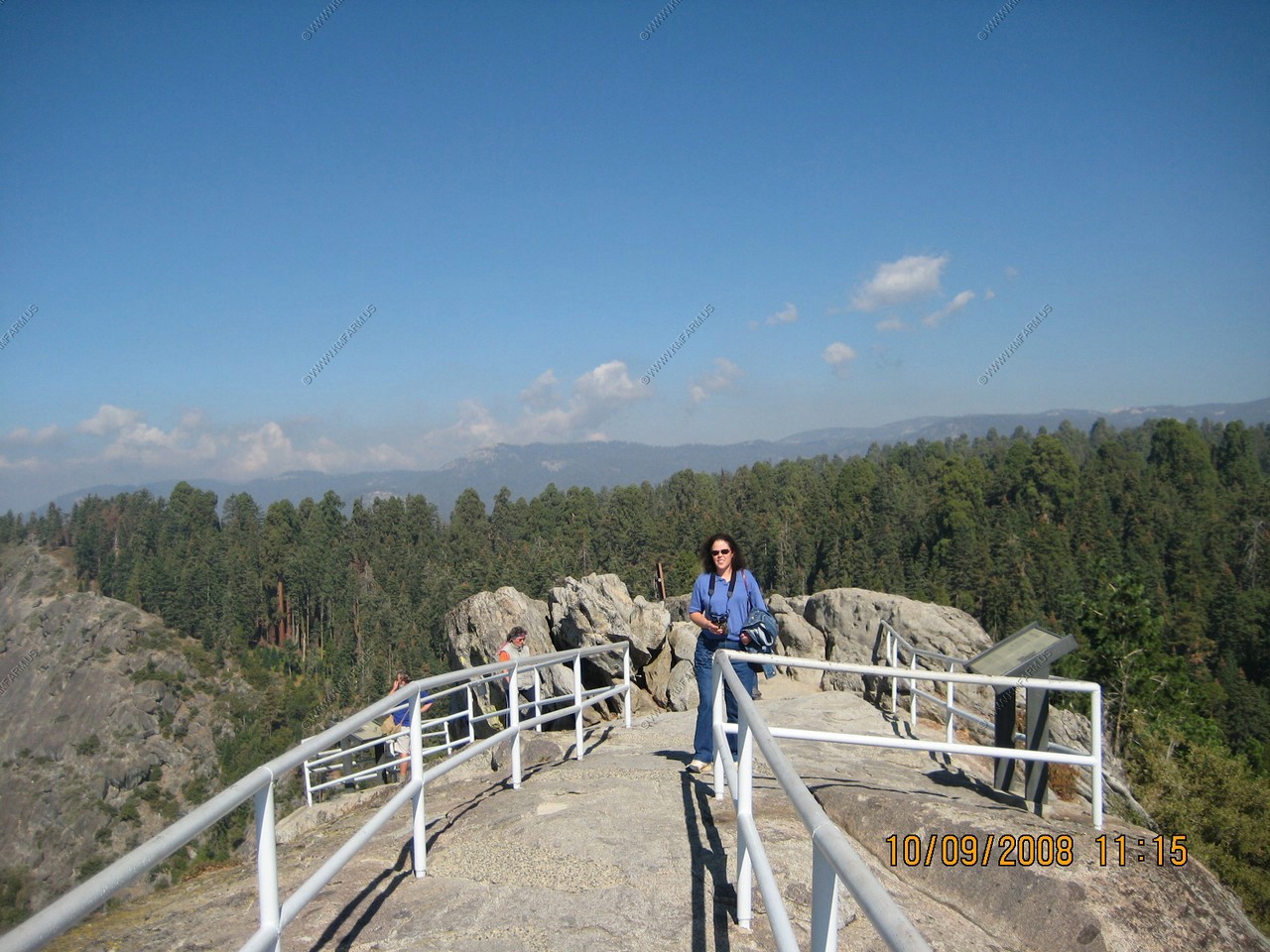
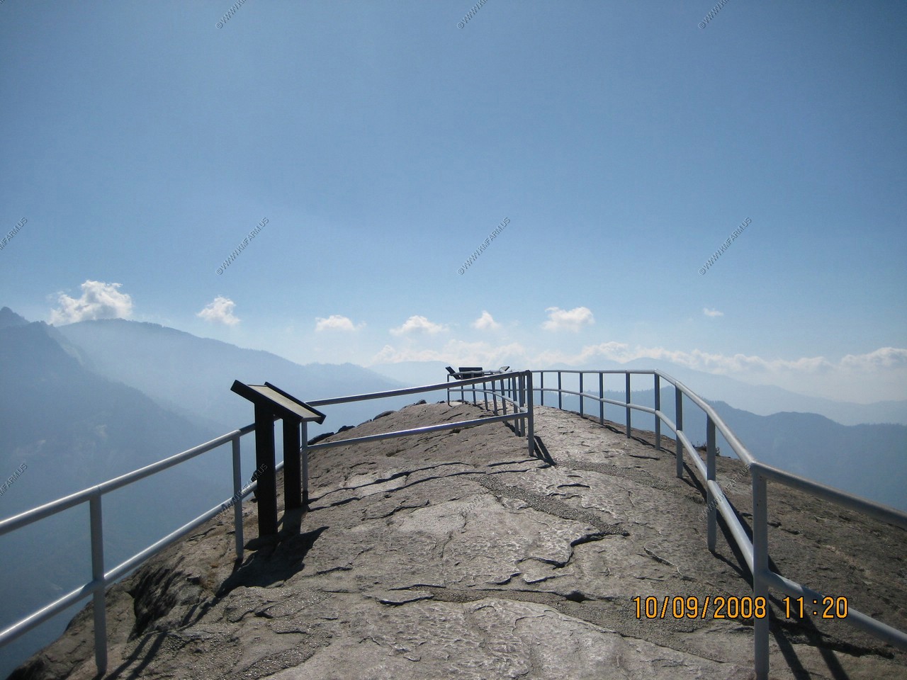
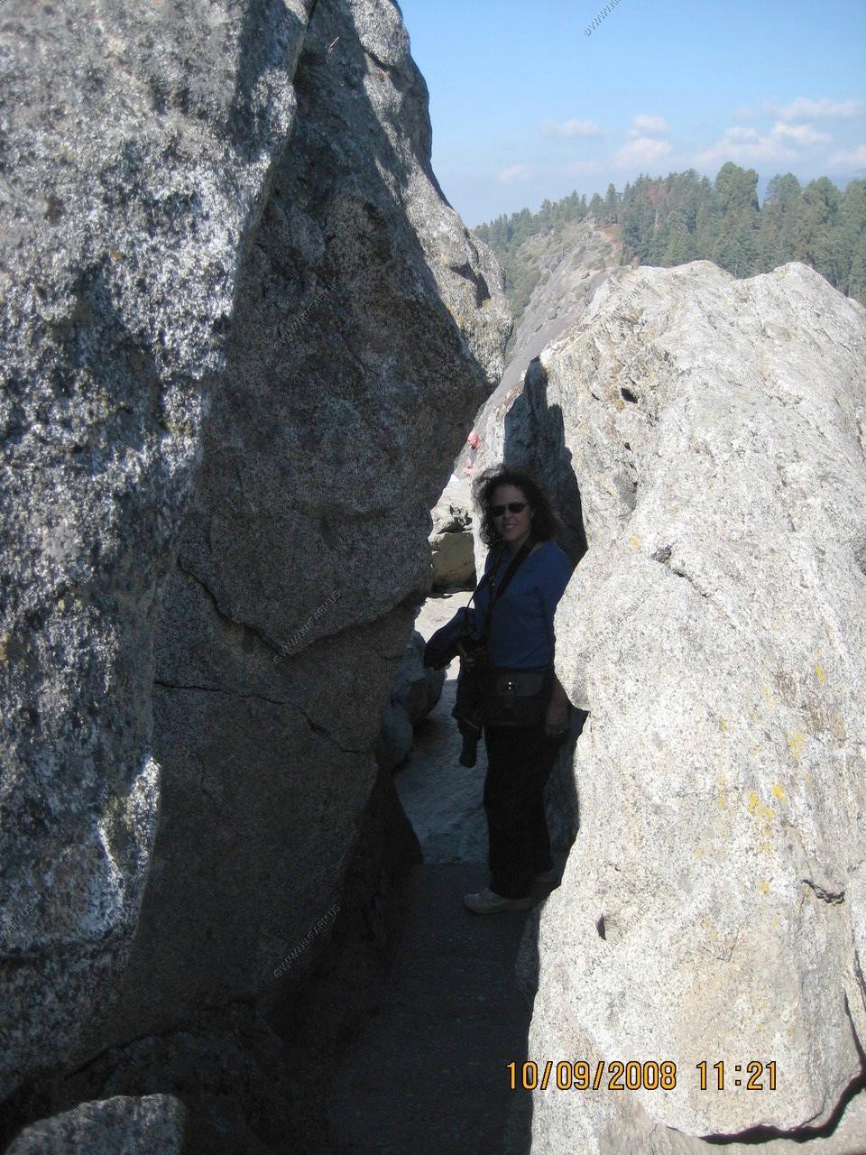
Moro Rock
The Name- No one knows the origin of Moro Rock's name. Moro is a Spanish word and can mean a roan-colored horse (such a horse often grazed at the base of the rock) or a snout or promontory or unwatered place. Other rocks names "Moro" or "Morro" are found in California, New Mexico and Puerto Rico.
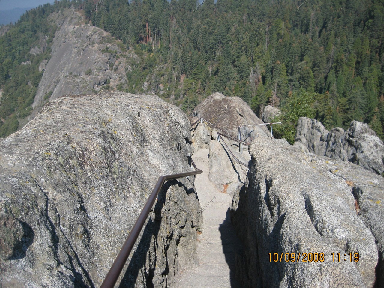
The summit was reached by the first stairway in 1917. In 1931 the National Park Service built the present stone steps. Because of the sensitive design of the stairway and the craftsmanship present in its construction, the stone steps were entered on the National Register of Historic Places in 1978.
The climb is nearly 400 steps and a 300 foot rise in elevation.
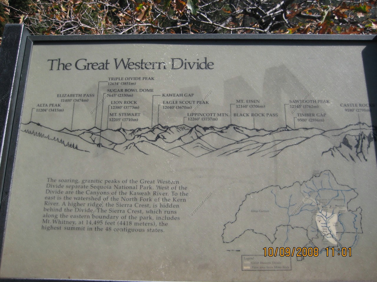
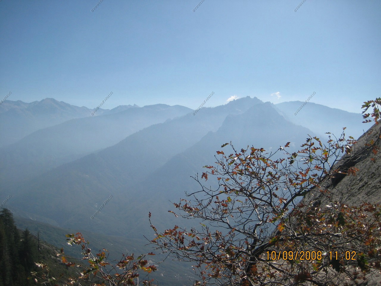
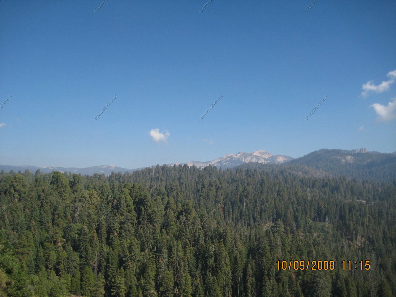
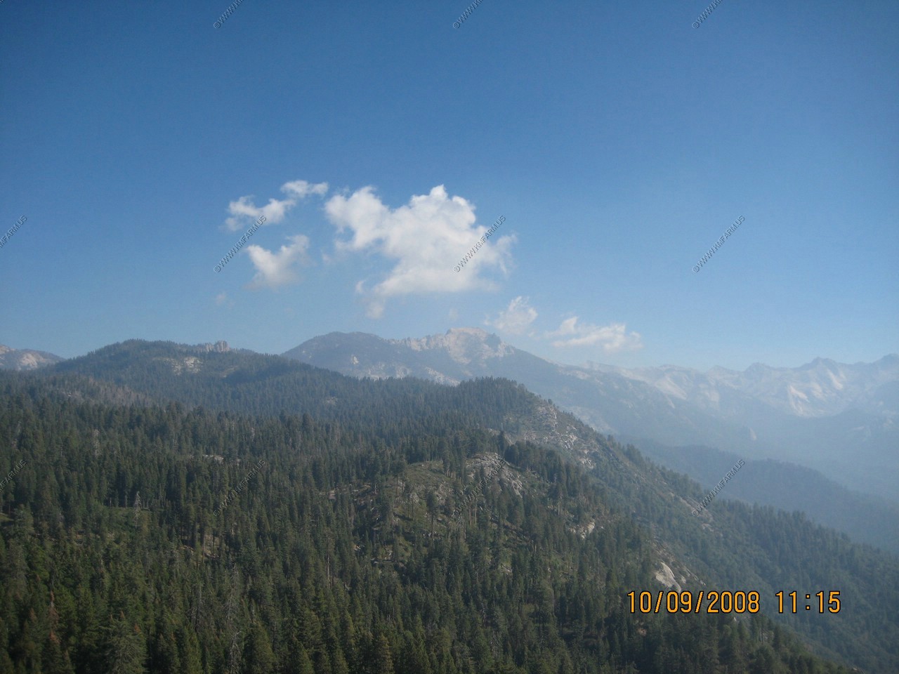
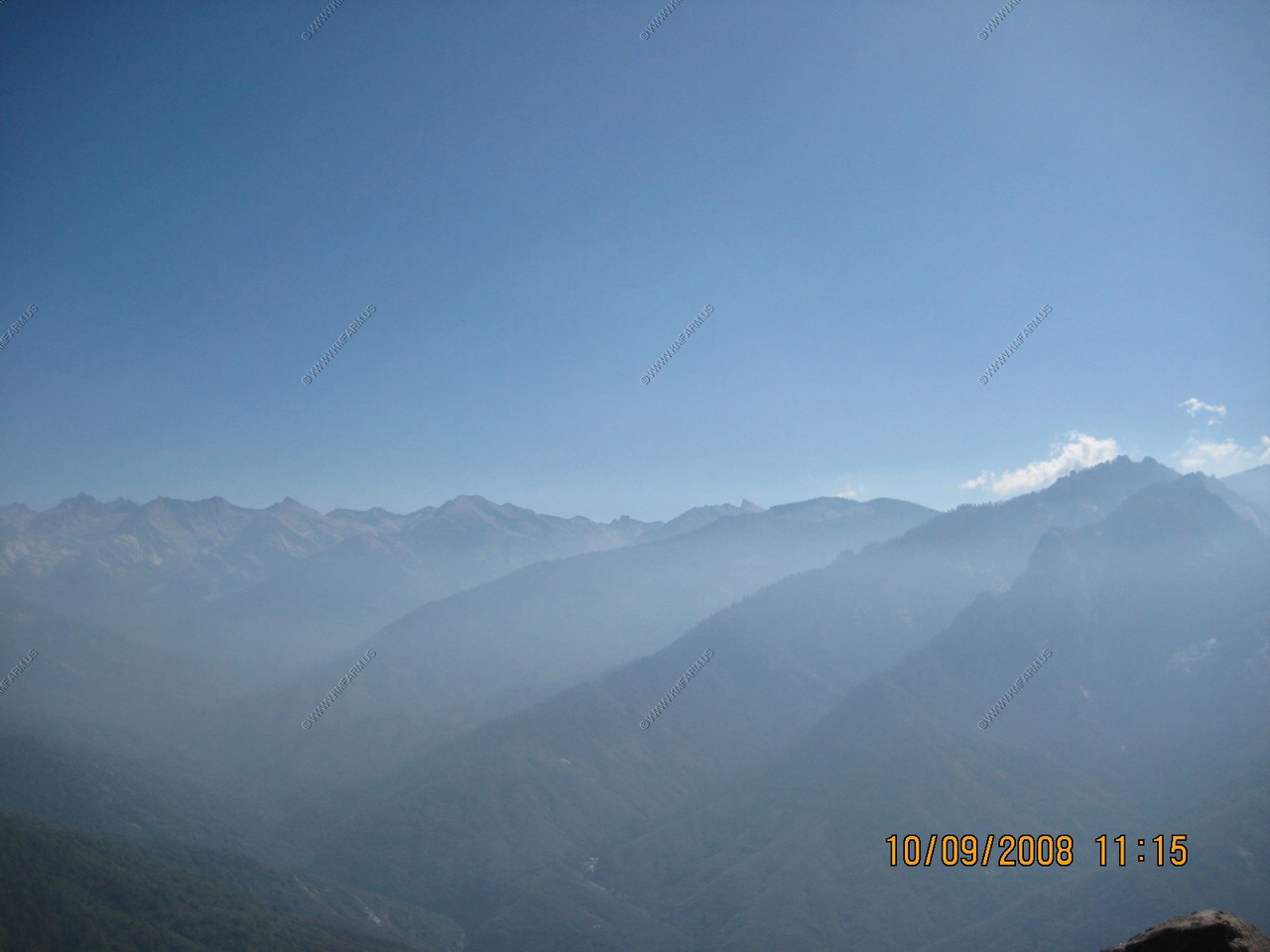
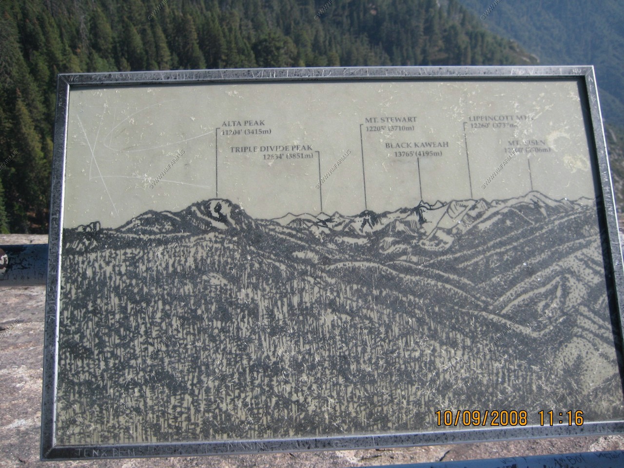
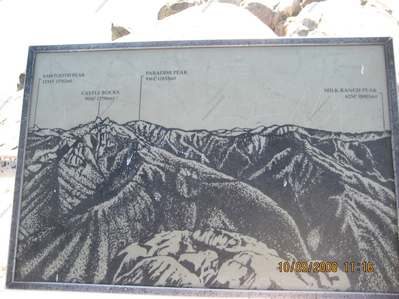
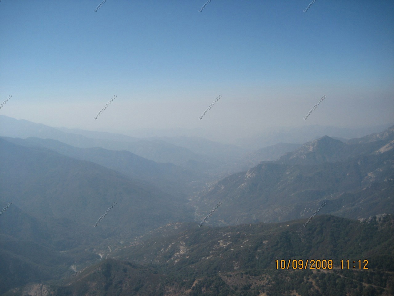
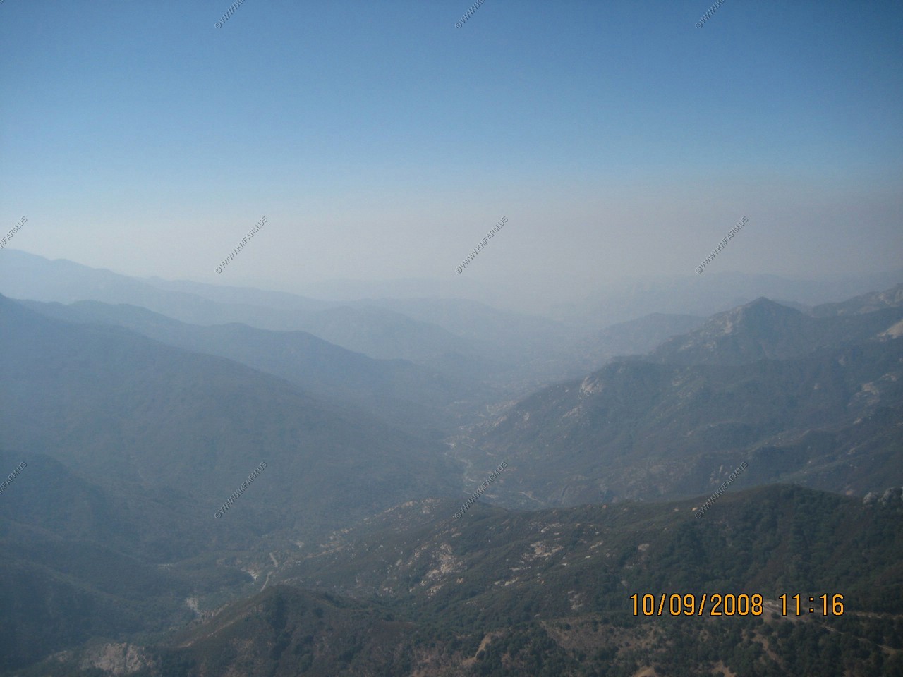
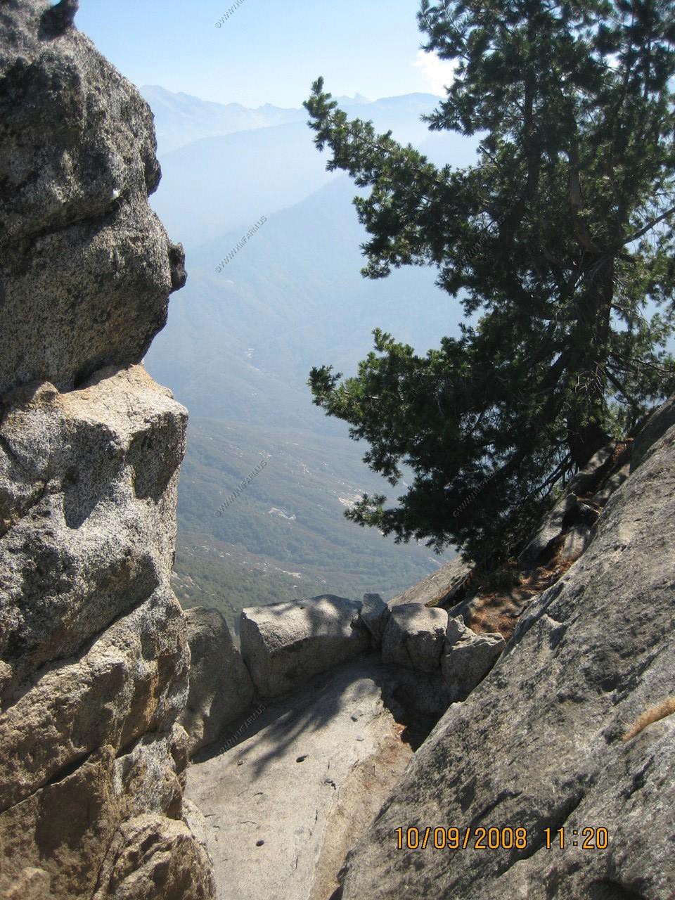
Looking at the air pollution towards the Great Western Divide. Too bad you can't see Mt. Whitney (El. 14,495) the highest summit in the lower 48. It would elude us the entire trip.
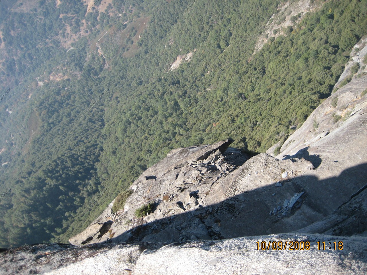
Even with the railing, not a place to trip!
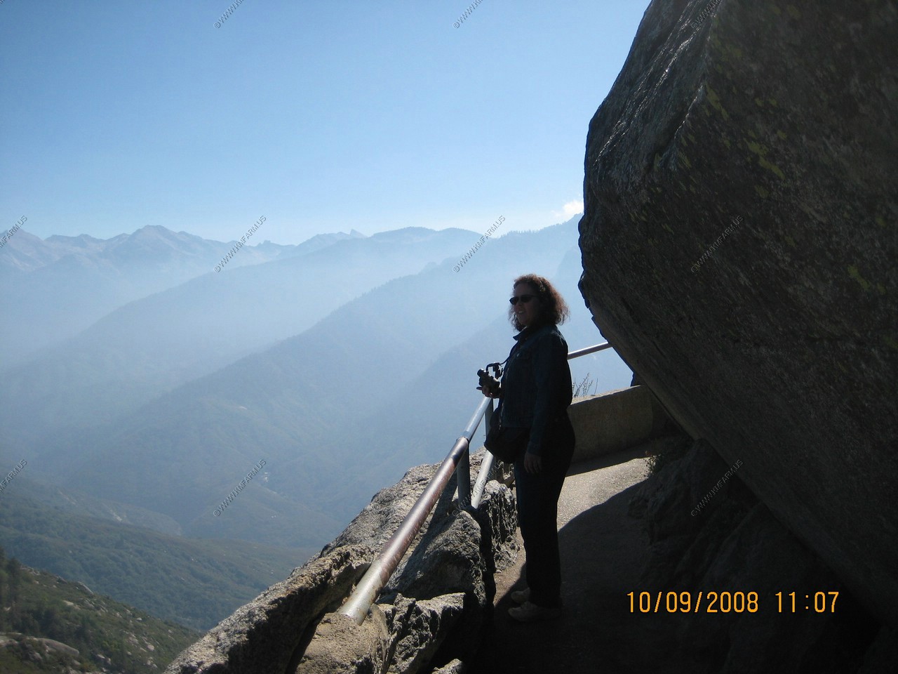
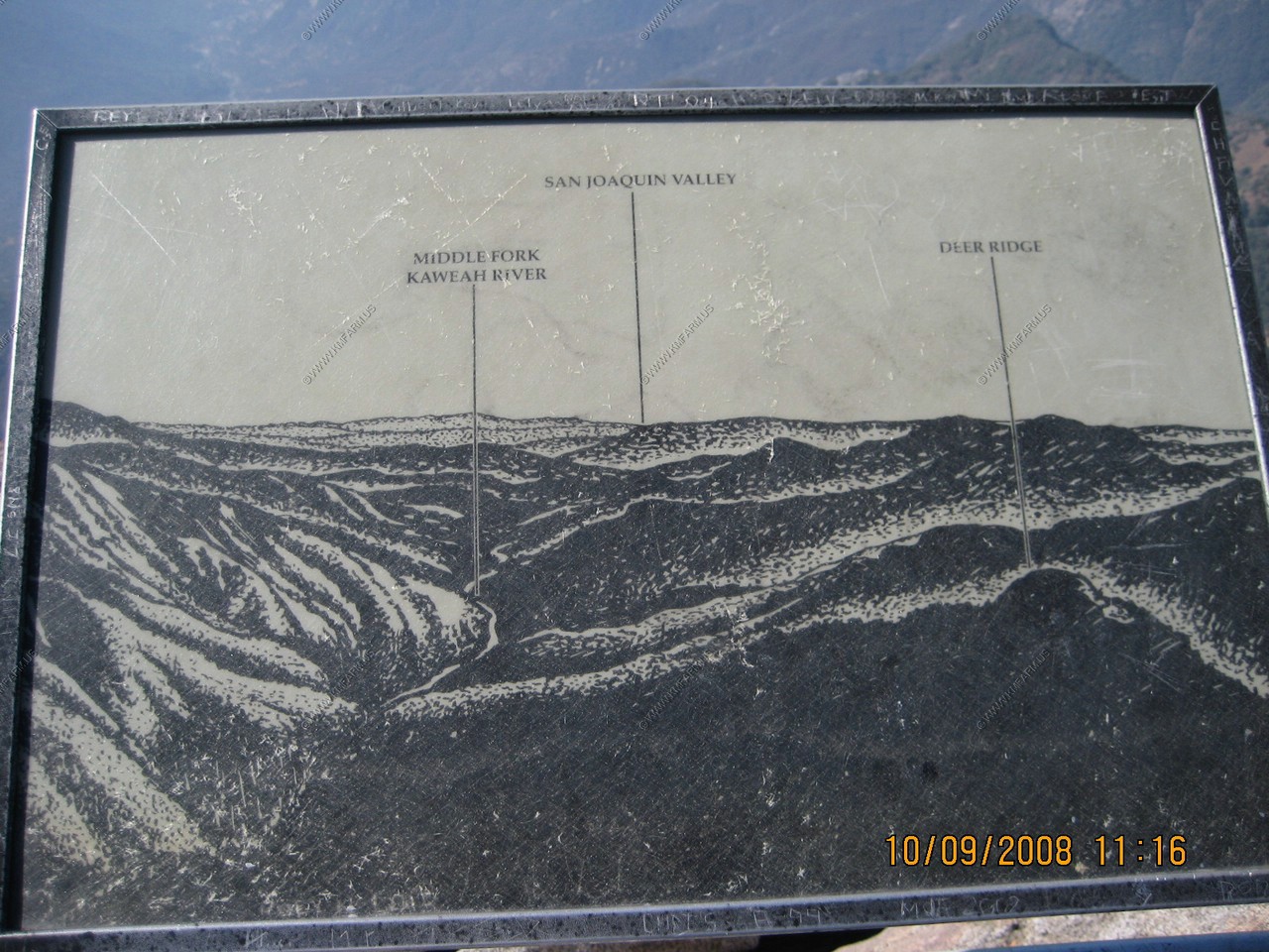
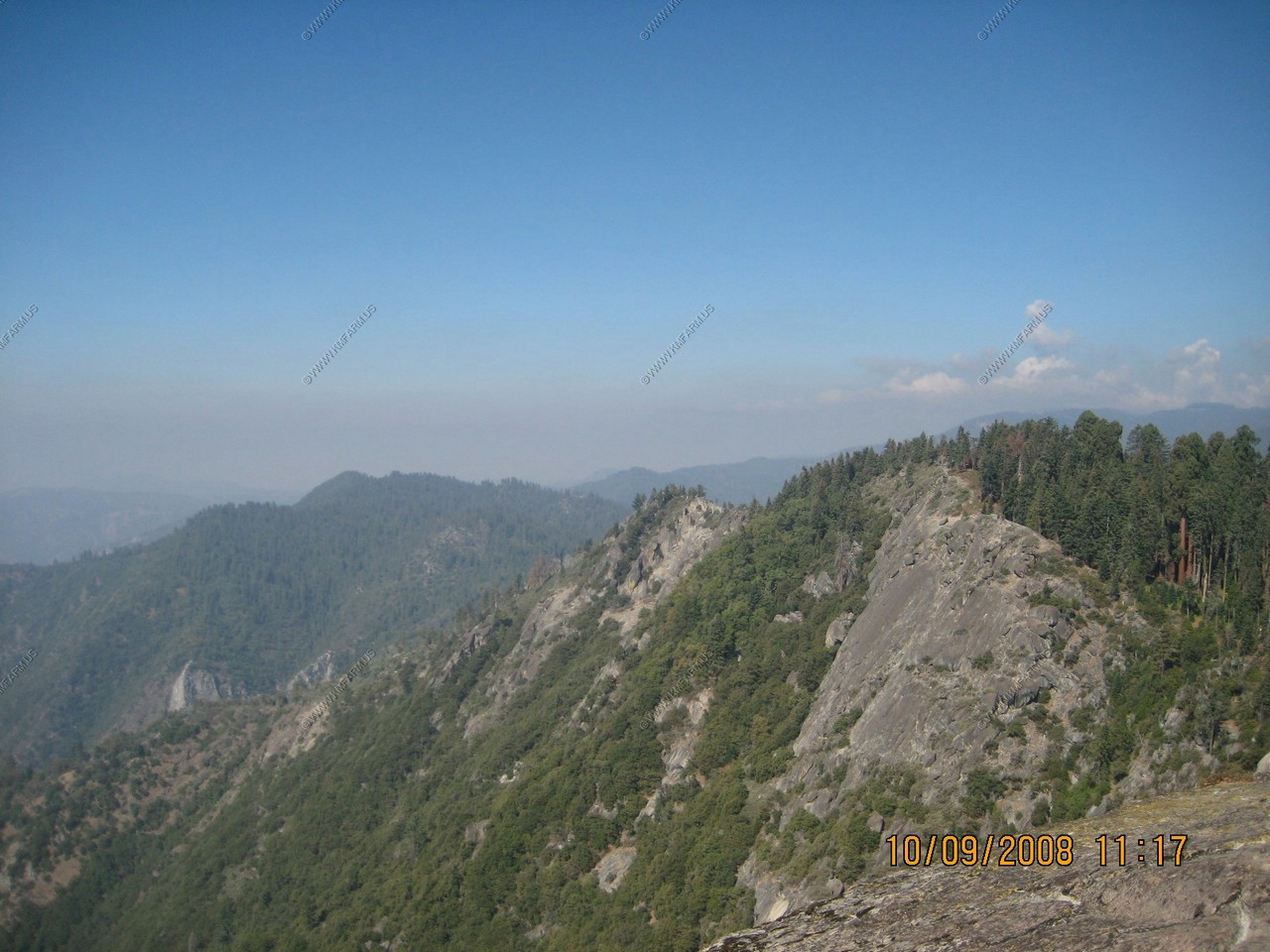
Looking down into Middle Fork Canyon towards Three Rivers
Despite its open appearance, the Middle Fork Canyon of the Kaweah River is nearly as deep as Arizona's Grand Canyon. The summit of Moro Rock is 4,000 vertical feet above the canyon floor, and east of here the canyon is even deeper. The steep terrain of this region made pioneer access extremely difficult. Only after the construction of the Generals Hightway, 1921-1926, did the Giant Forest become easily accessible.
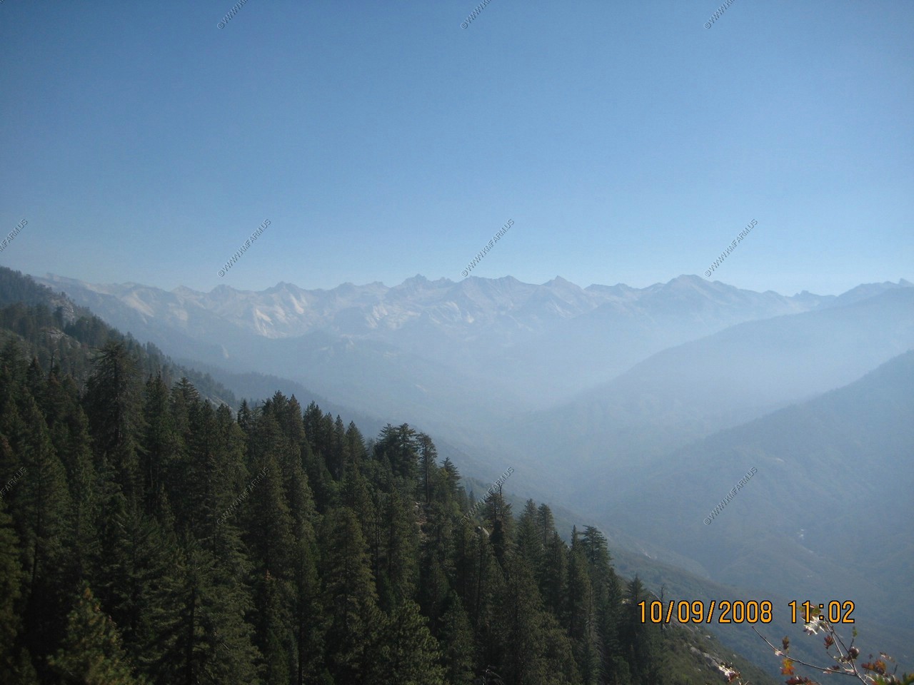
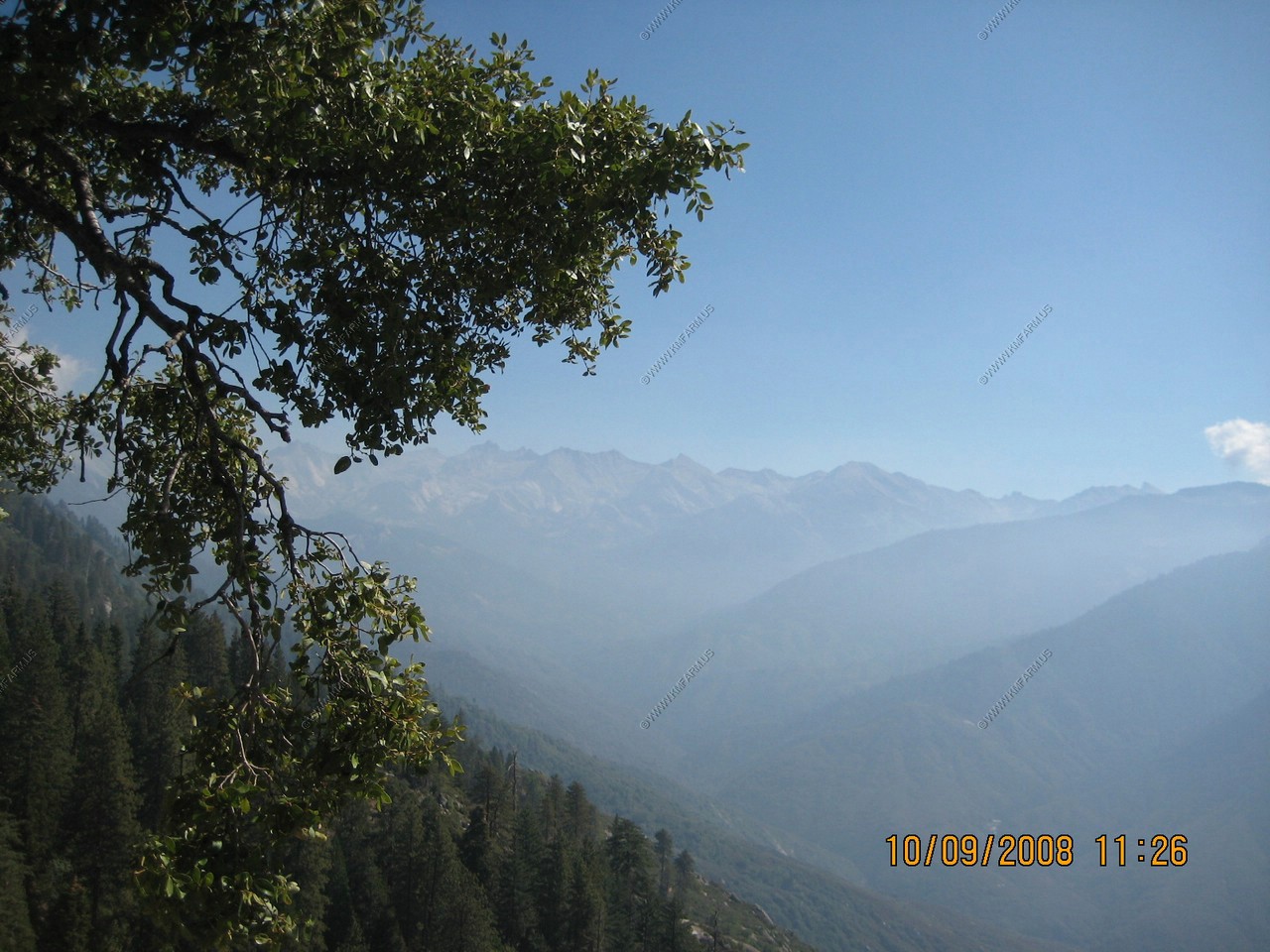
On a clear day you can see the Coast Range 100 miles away. Due to increasing air pollution, however, these mountains are seldom visible.
Nice vertical drop!
Heading back down the trail We were worried about the air pollution. But, happy to say we would not see it this bad again after we left Sequoia & Kings Canyon National Park
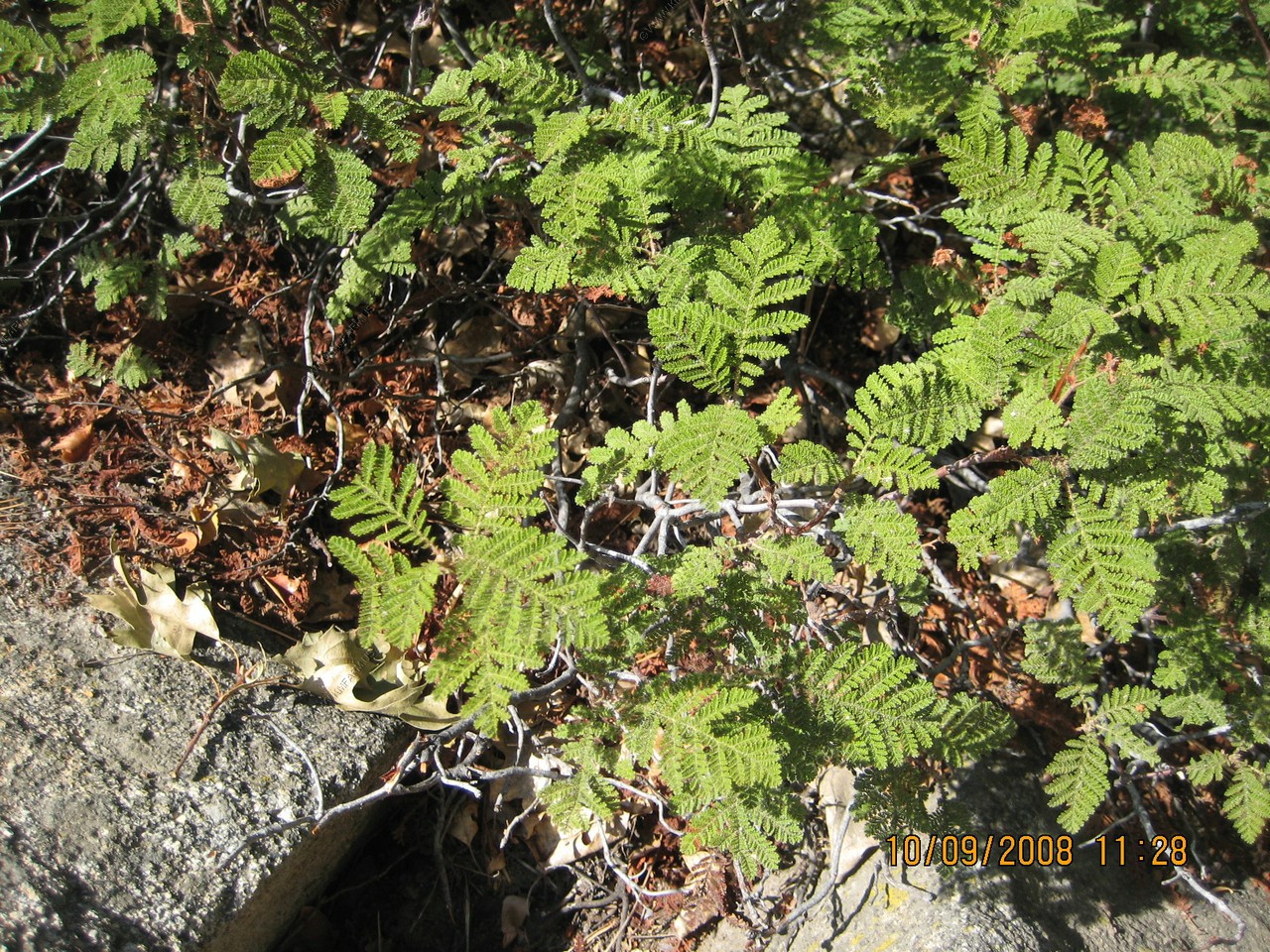
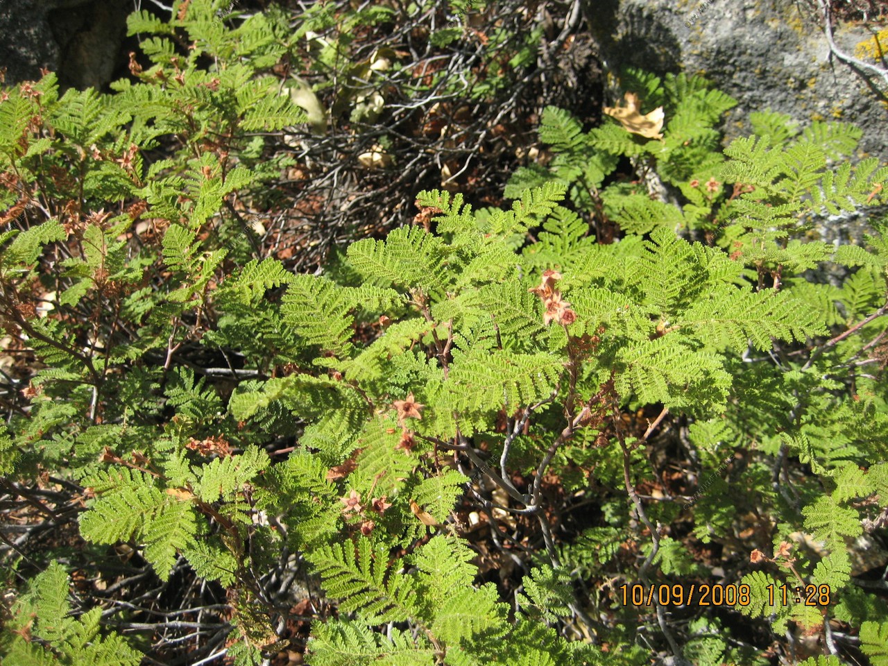
Mountain misery, Chamaebatia foliolosa
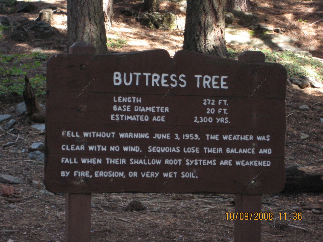
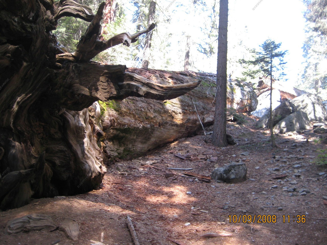
Buttress Tree
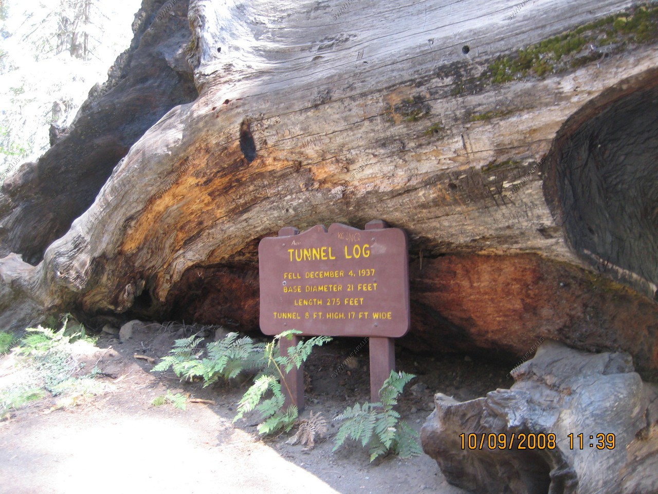
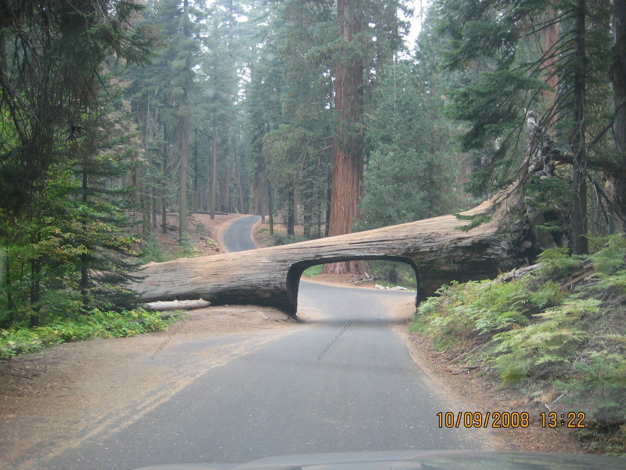
Tunnel Log fell DEC 04, 1937 with a base diameter of 21 feet and a length of 275 feet. The tunnel is 8 ft. high & 17 feet wide
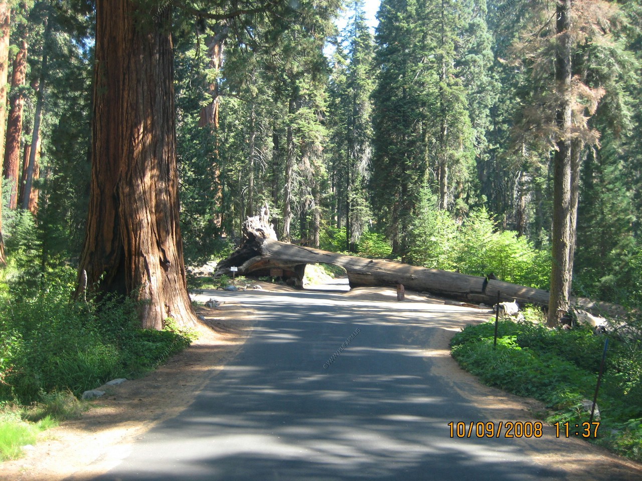
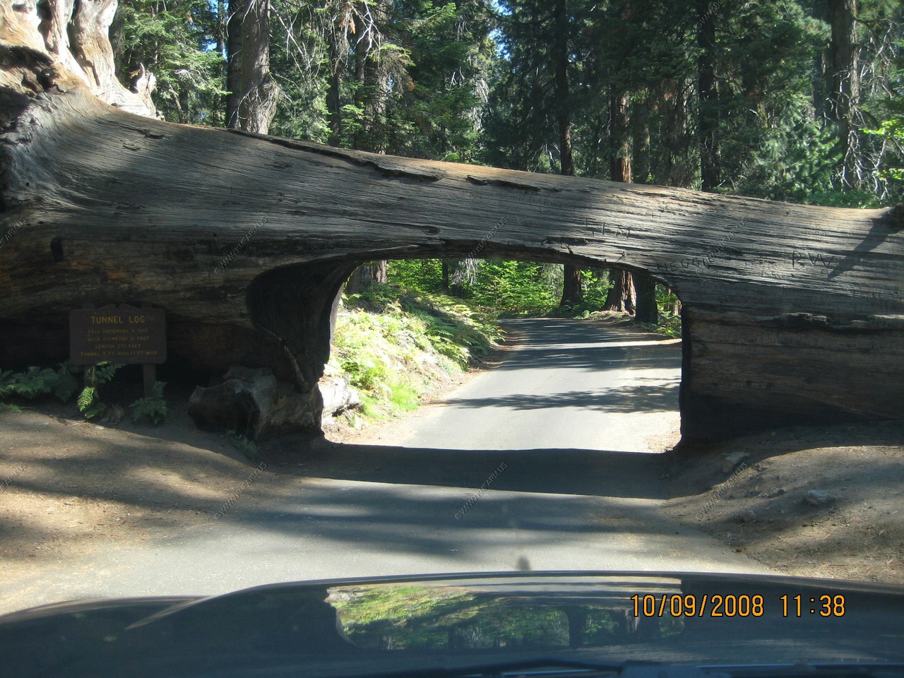
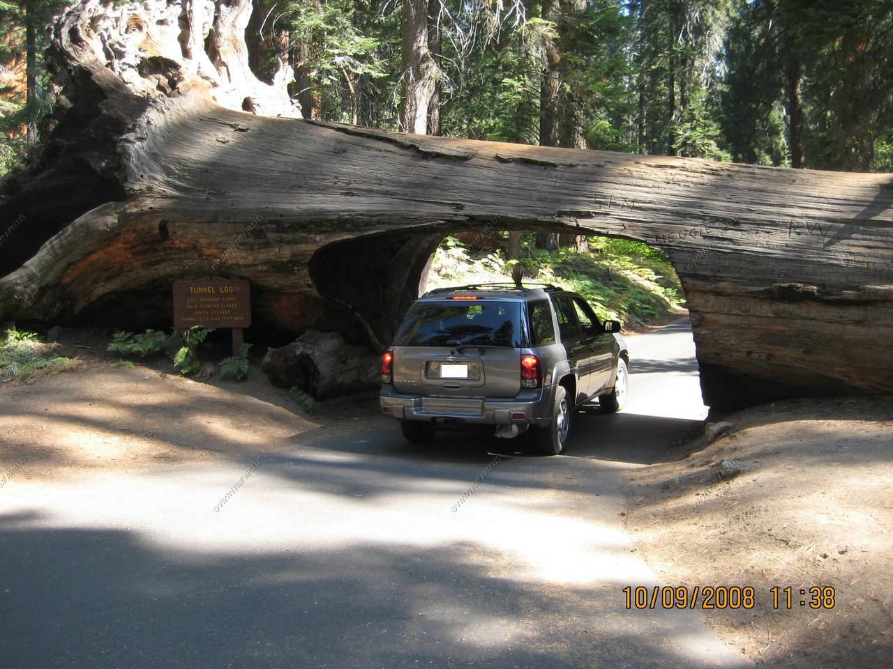
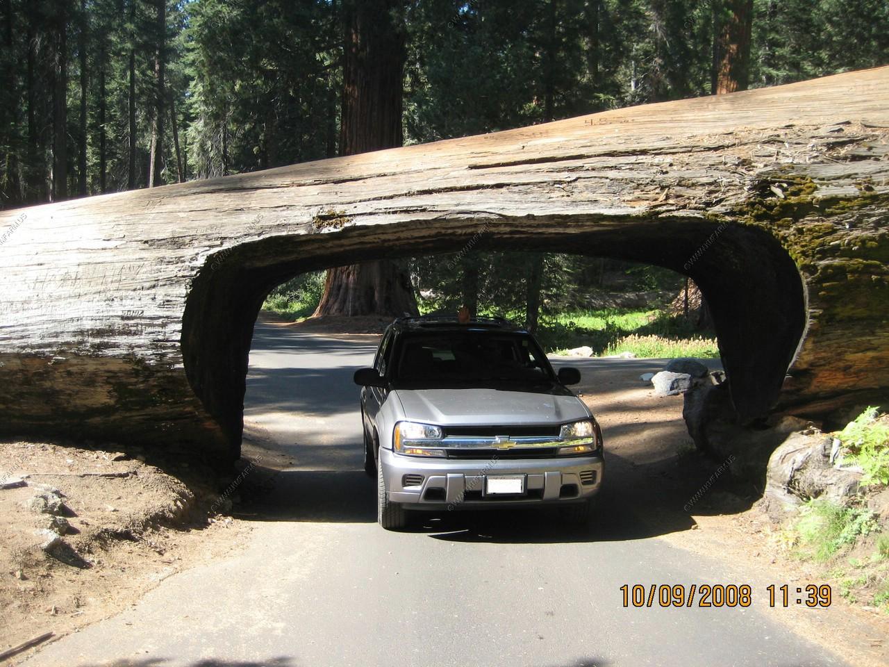
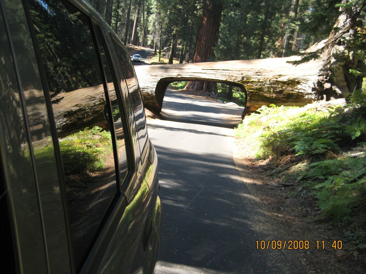
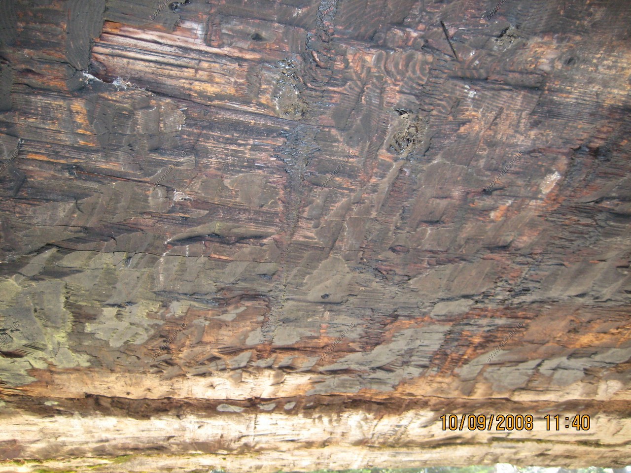
Looking up as we drive under the tree
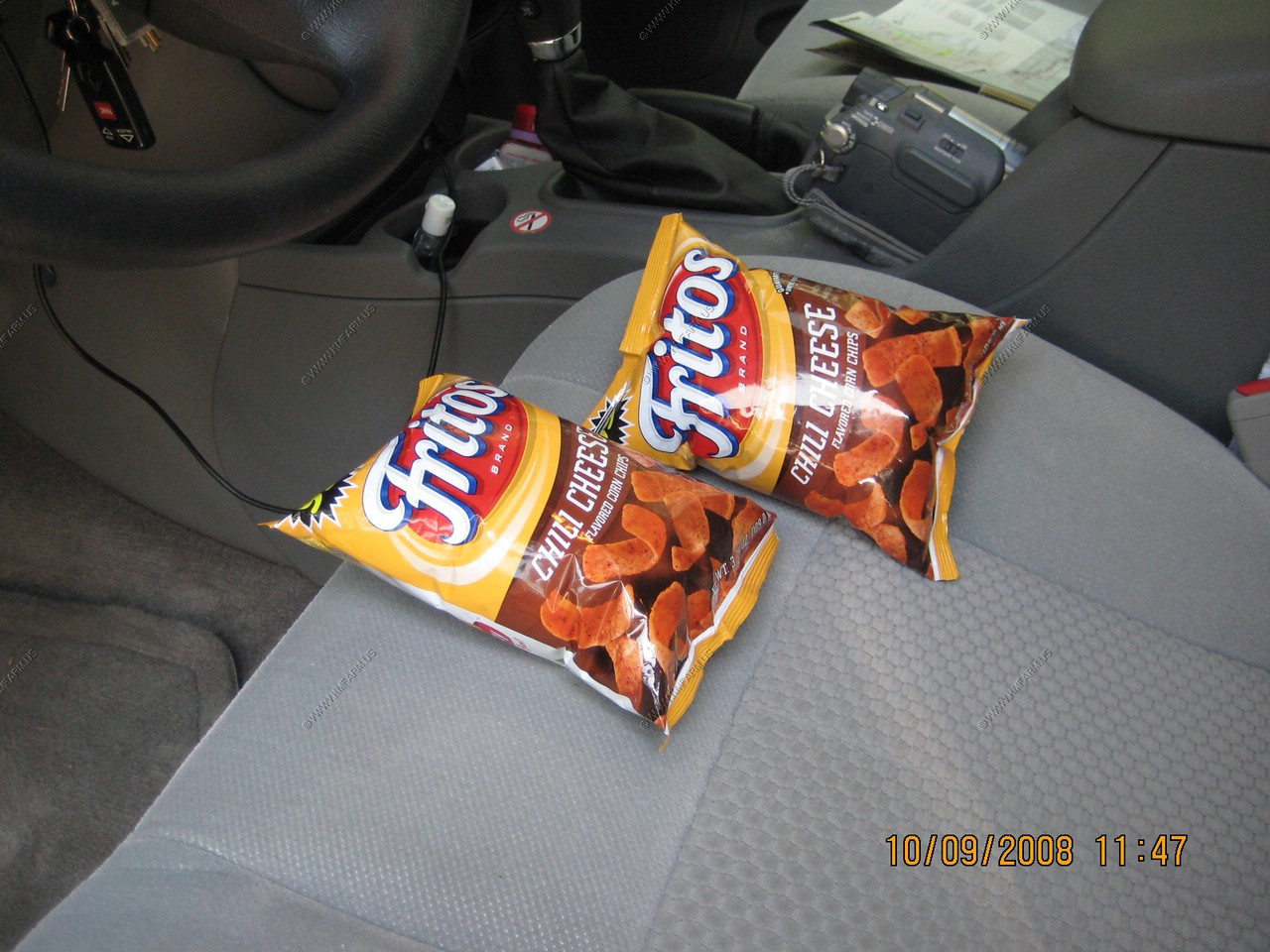
Almost 7,000 feet and the chip bags are ready to explode
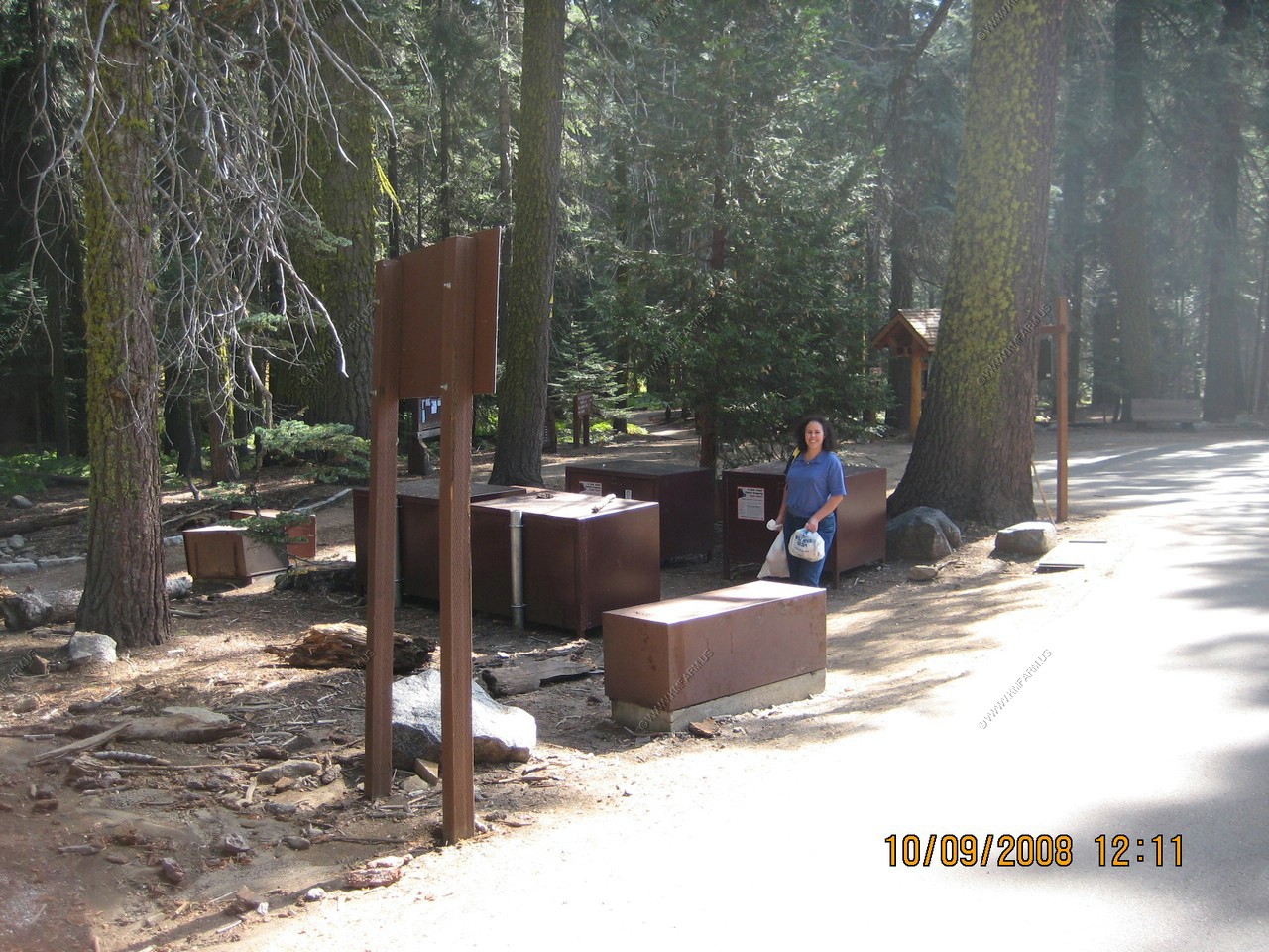
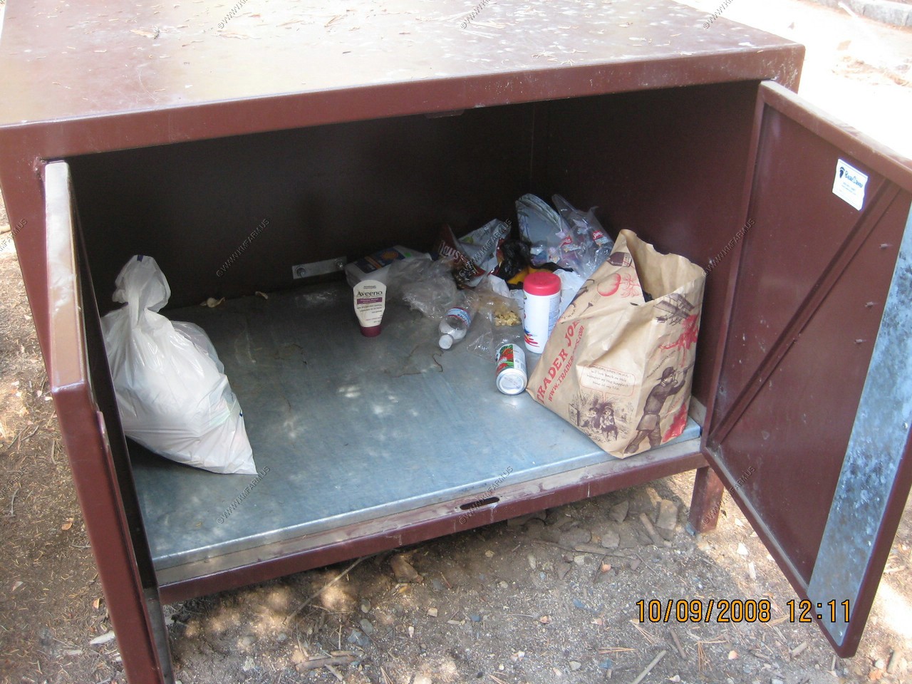
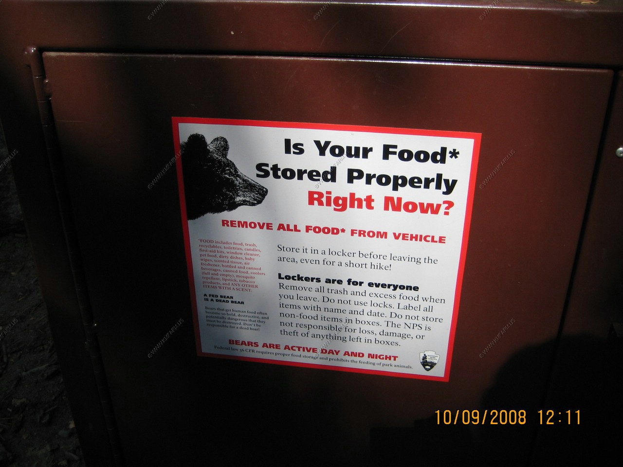
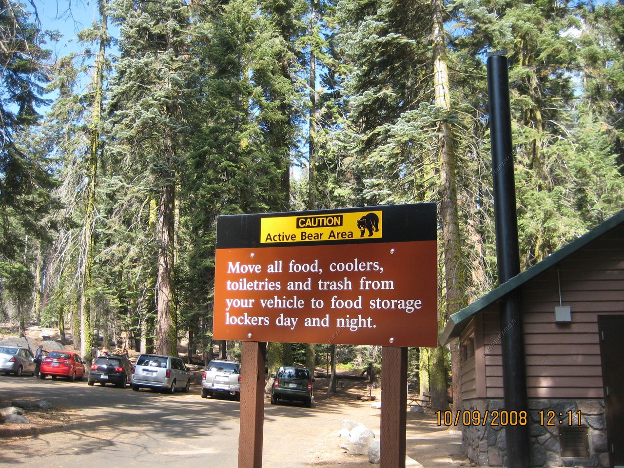
Storing our food in the bear boxes. Mary was worried about this. I figured it was not that bad but we did it.
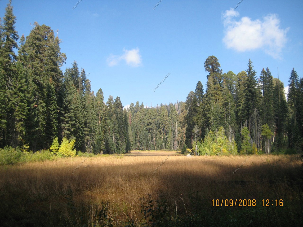
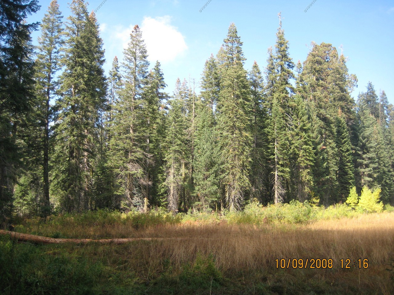
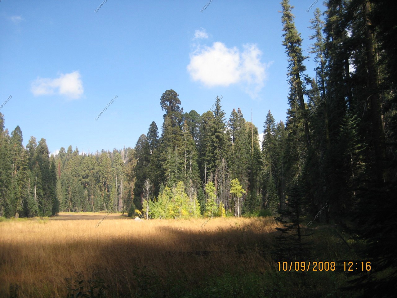
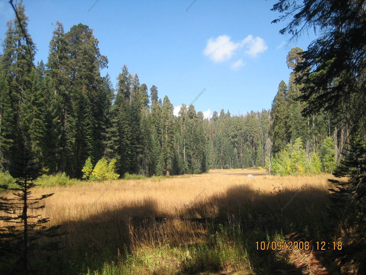
We did the Crescent Meadow Trail to Tharp's Log. John Muir called the Meadow the "Gem of the Sierras"
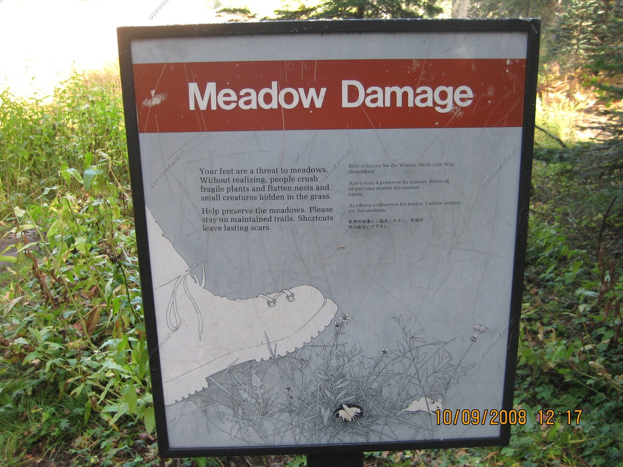
We got a kick out of the Meadow Damage signs. With the mouse damage we have from mice back at our farm we wish they would get crushed !
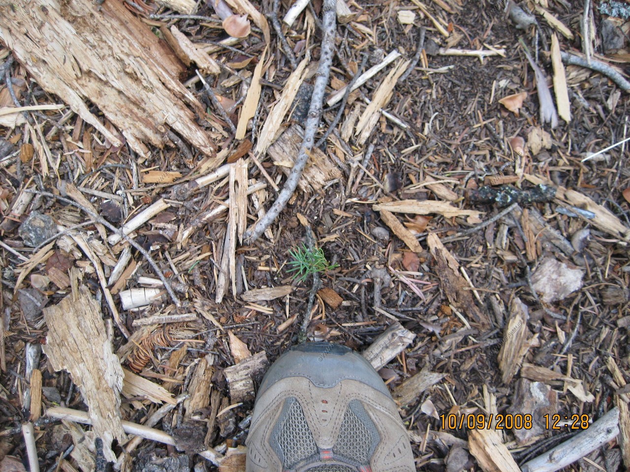
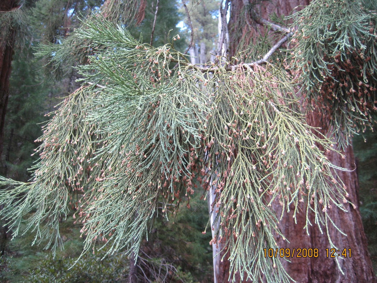
One of the small trees along the trail
Amazing that they start out this small
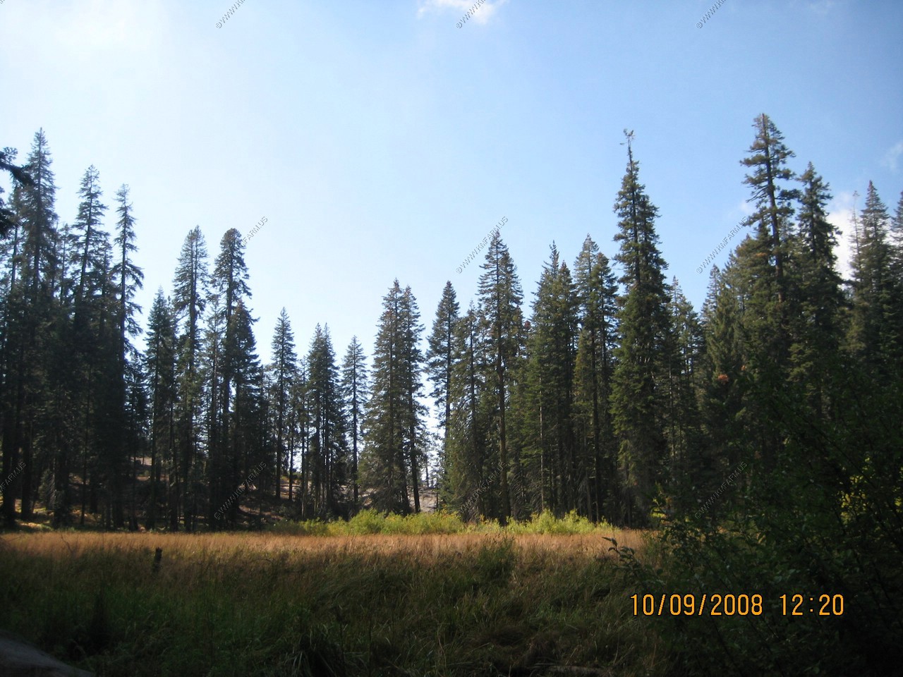
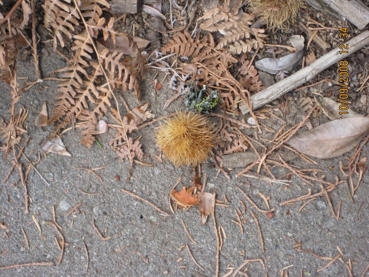
Along the Crescent Meadow Trai
Chestnut in first photo
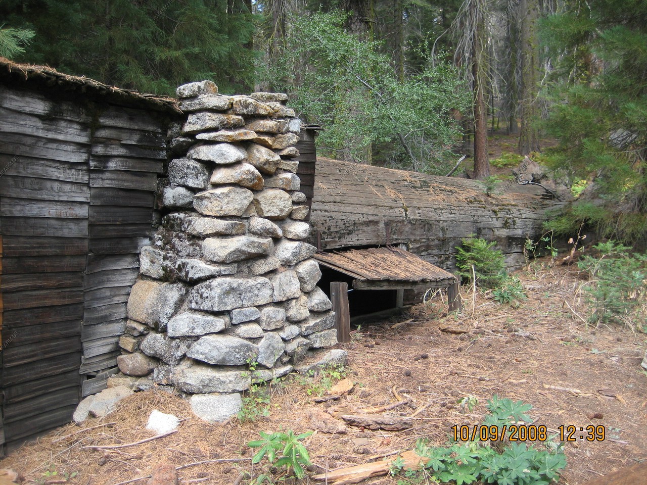
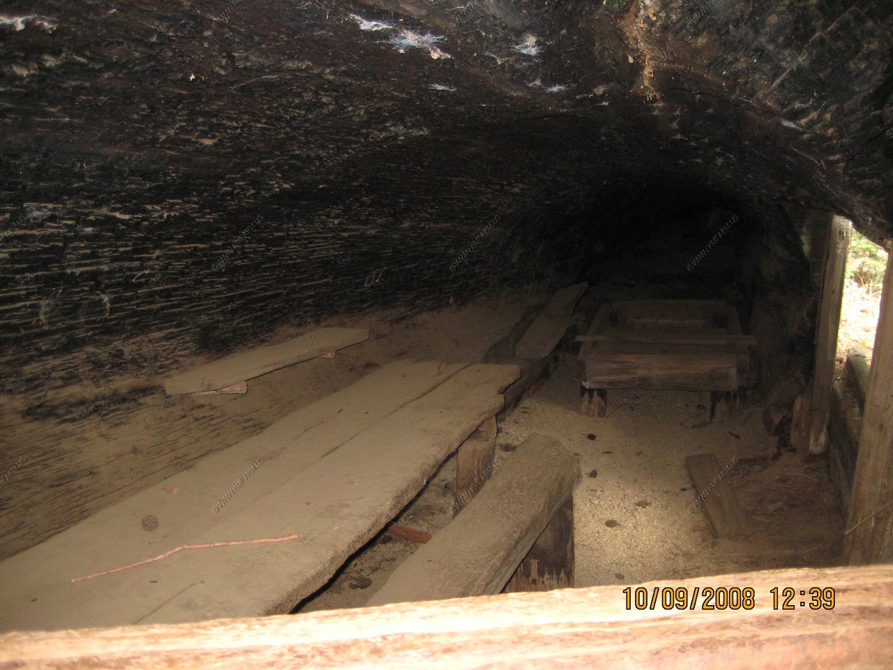
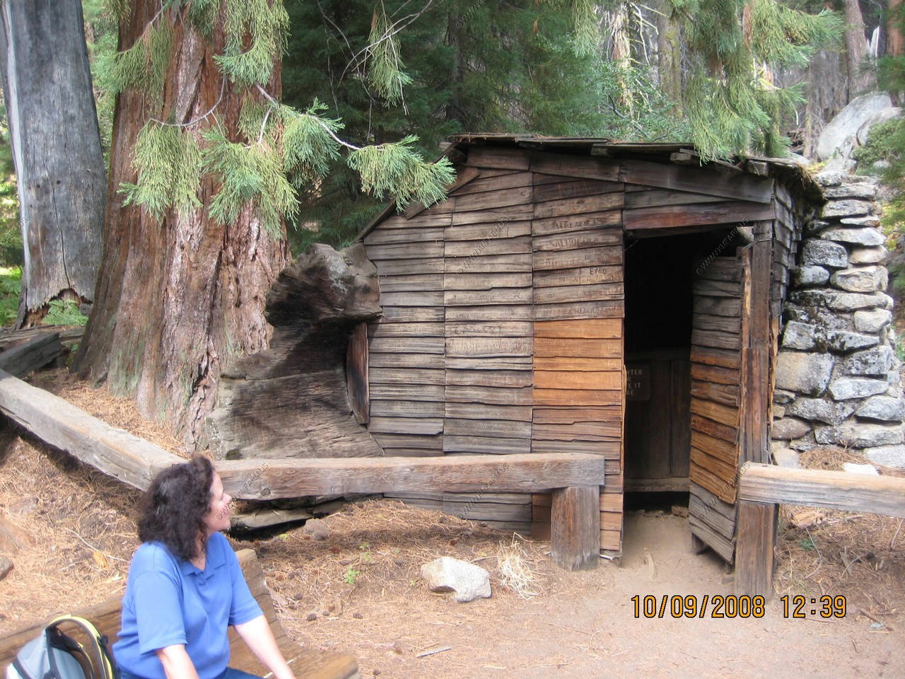
Tharp Log. Hale D. Tharp, pioneer resident of the three Rivers locality the first visited giant Forest in 1858 accompanied by two Yokuts Indians. He lived in this rustic cabin each summer from 1861 until Sequoia National Park was established in 1890. He used the nearby Meadows as range for his livestock. Tharp, recognized as discoverer of giant Forest, died at his old three Rivers Ranch home on November 5, 1912 at the age of 84 years.
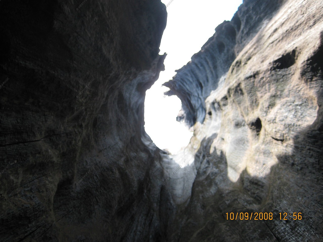
Chimney Tree
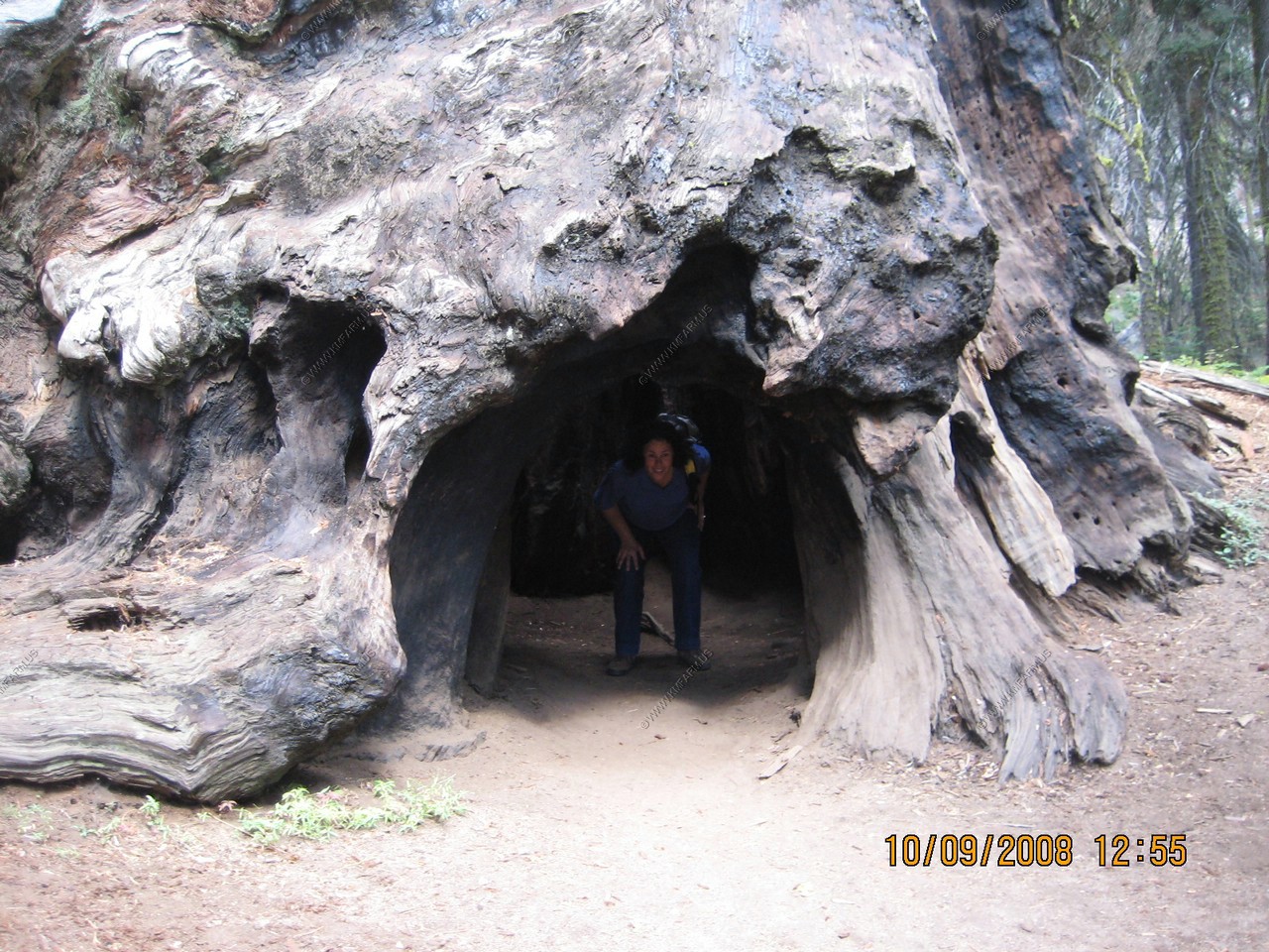

Back thru the tunnel tree
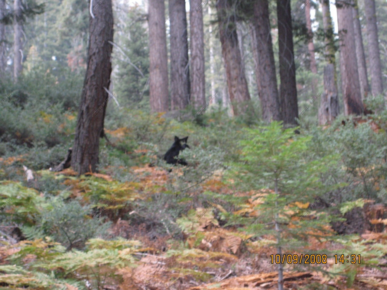
Another bear. Was the last seen on the trip
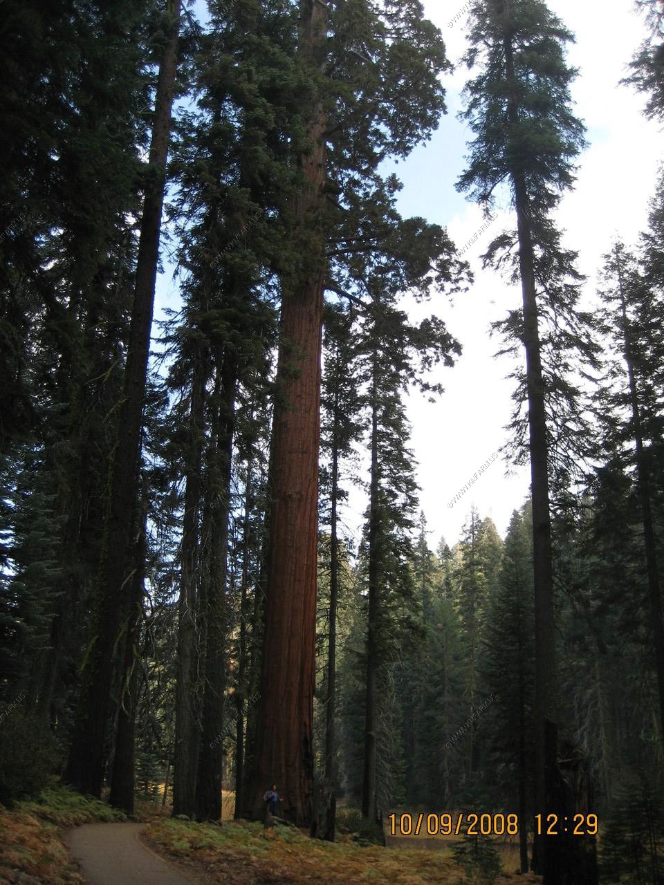
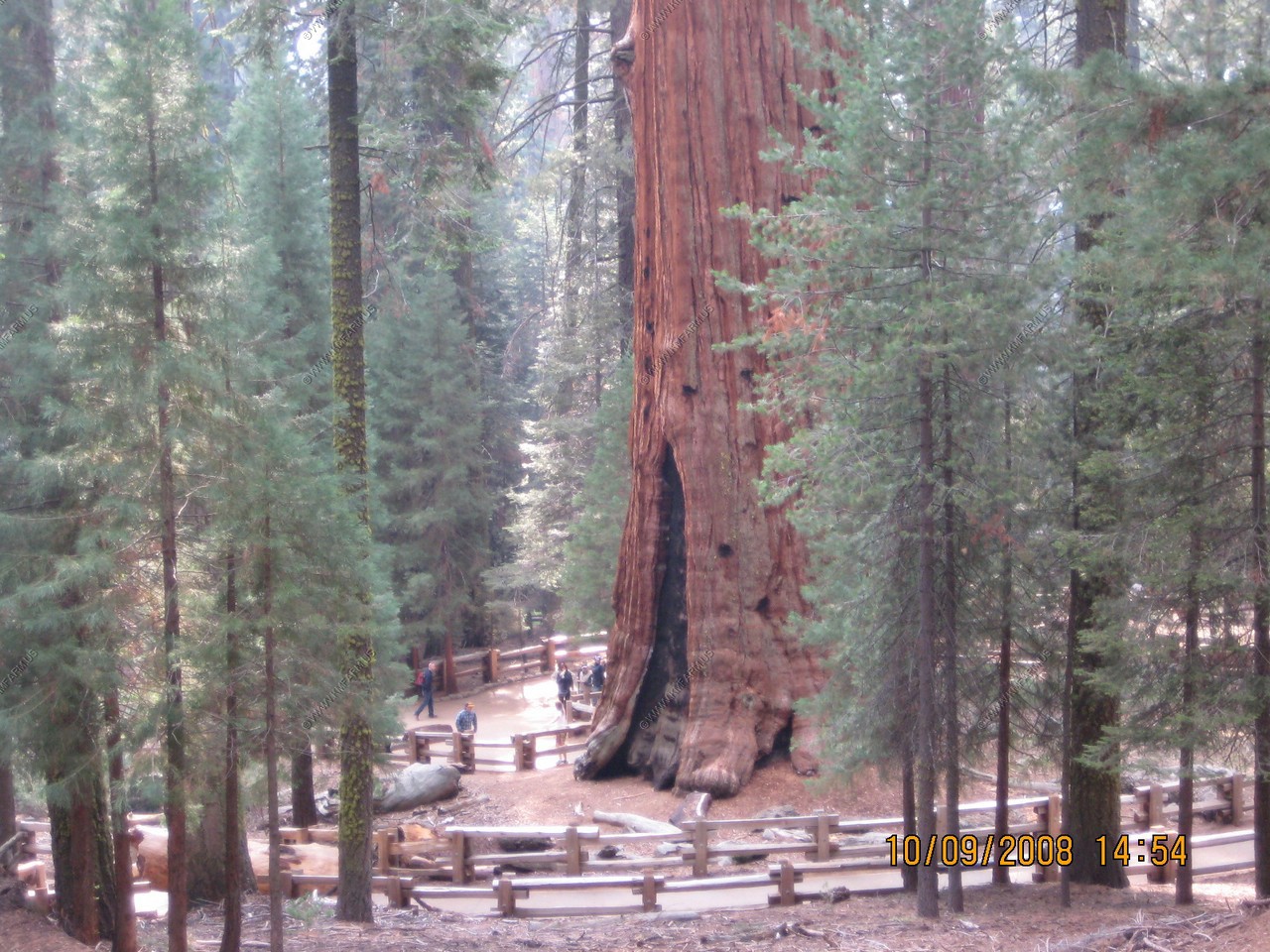
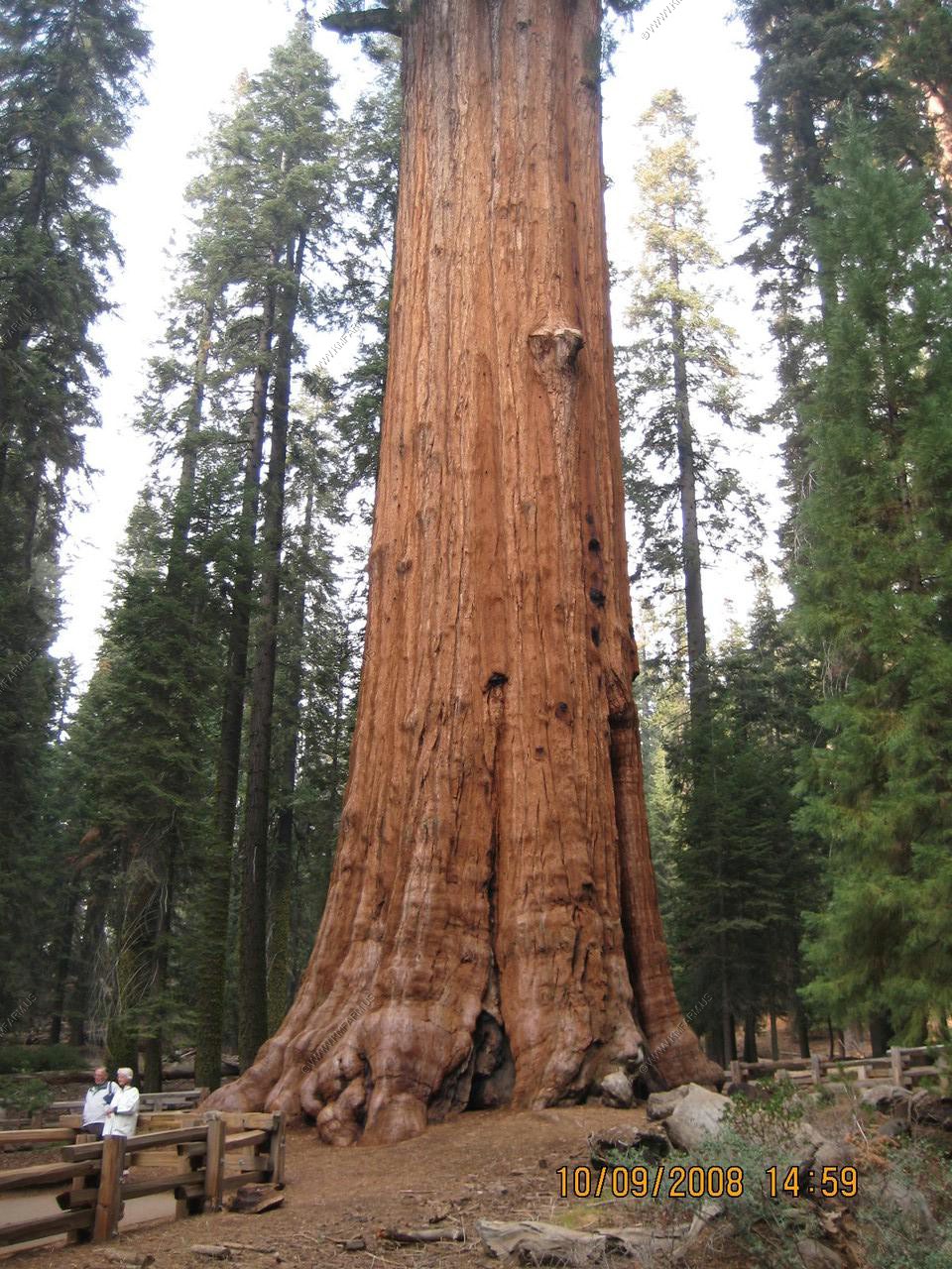
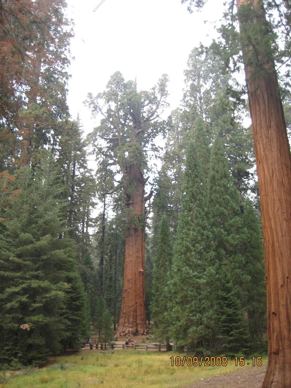
We took the Sherman tree trail. All down hill to the tree and uphill to the parking lot. But worth it!
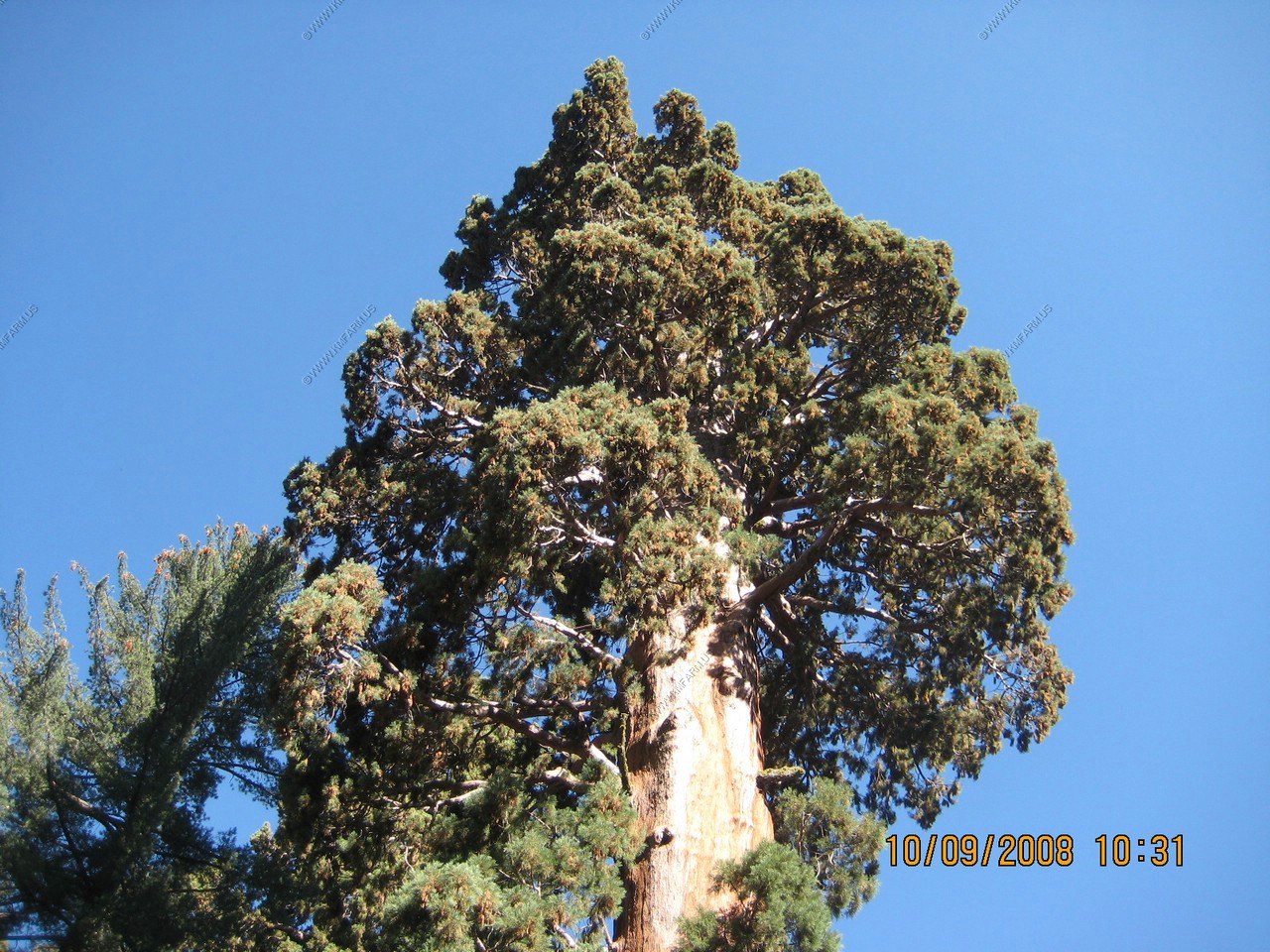
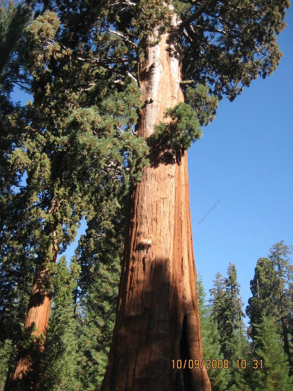
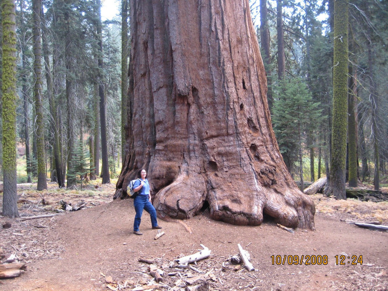
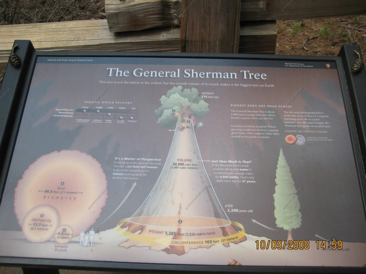
In front of you stands the General Sherman tree. Its claim to fame as the biggest tree in the world comes from the volume of its trunk. A few other tree trunks are bigger around. Some trees are taller but no other tree has more wood in its trunk than the Sherman tree. The Sherman tree's top is dead so the tree's trunk no longer gets taller however its volume keeps increasing. Each year the trunk grows wider adding enough wood to equal another good-sized tree.
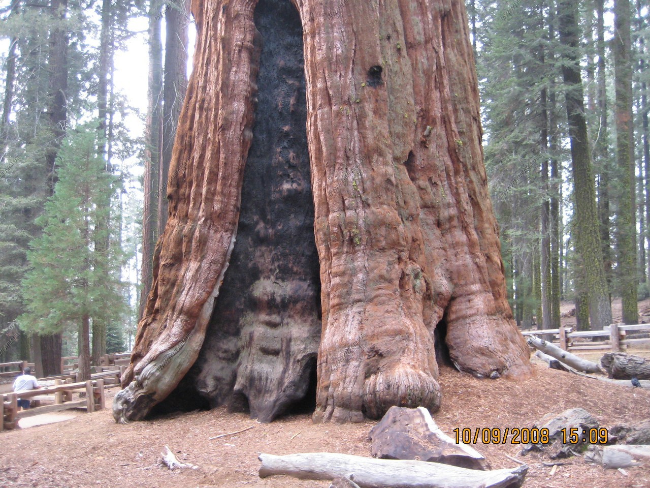
Mary standing on the life size footprint of the Sherman tree's trunk on the ground. It gives an idea of the trees girth--109 feet around at the ground and its irregular shape. Natural growth patterns and fire scars caused it to be an uneven shape.

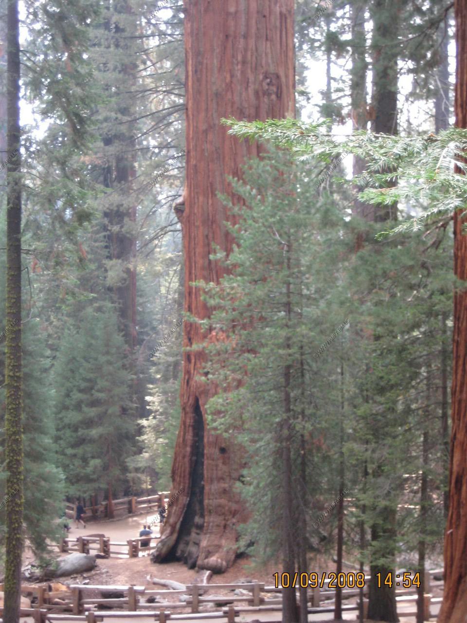
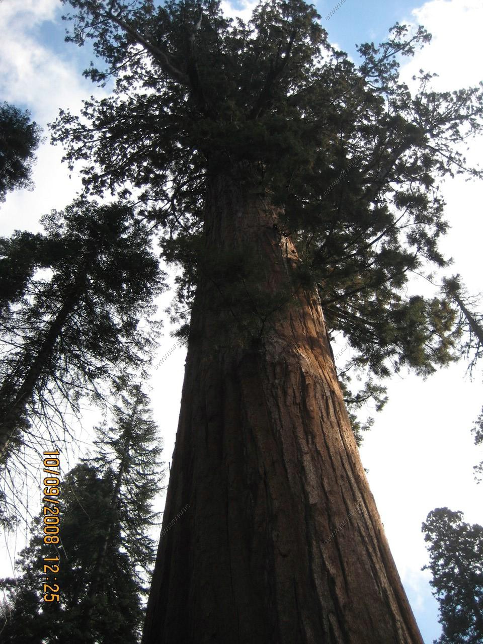
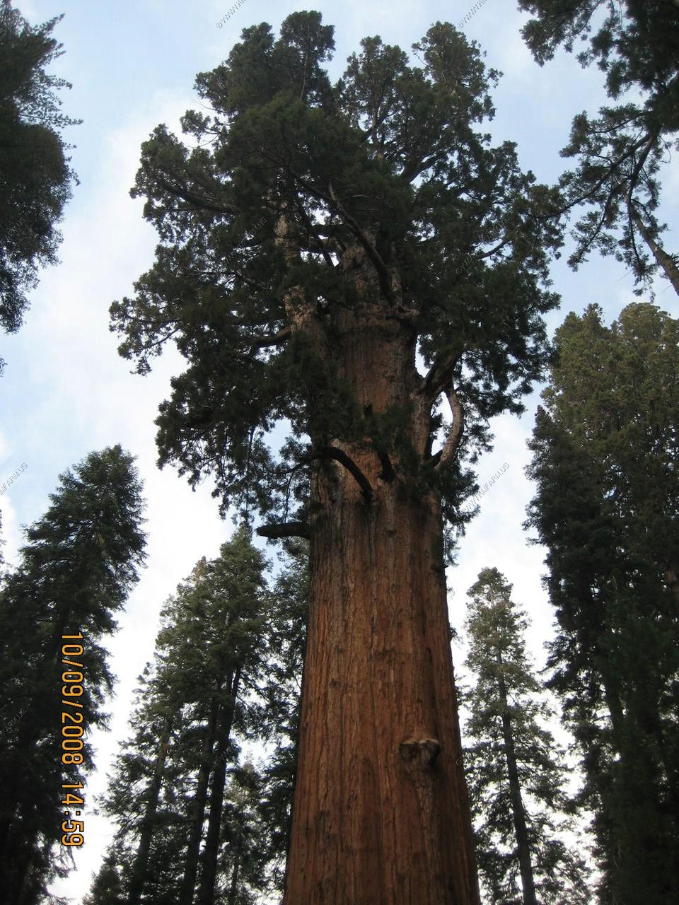
Two views of the dead top of the tree (second photo from the trail while heading along the trail. The tree is 275 feet tall)
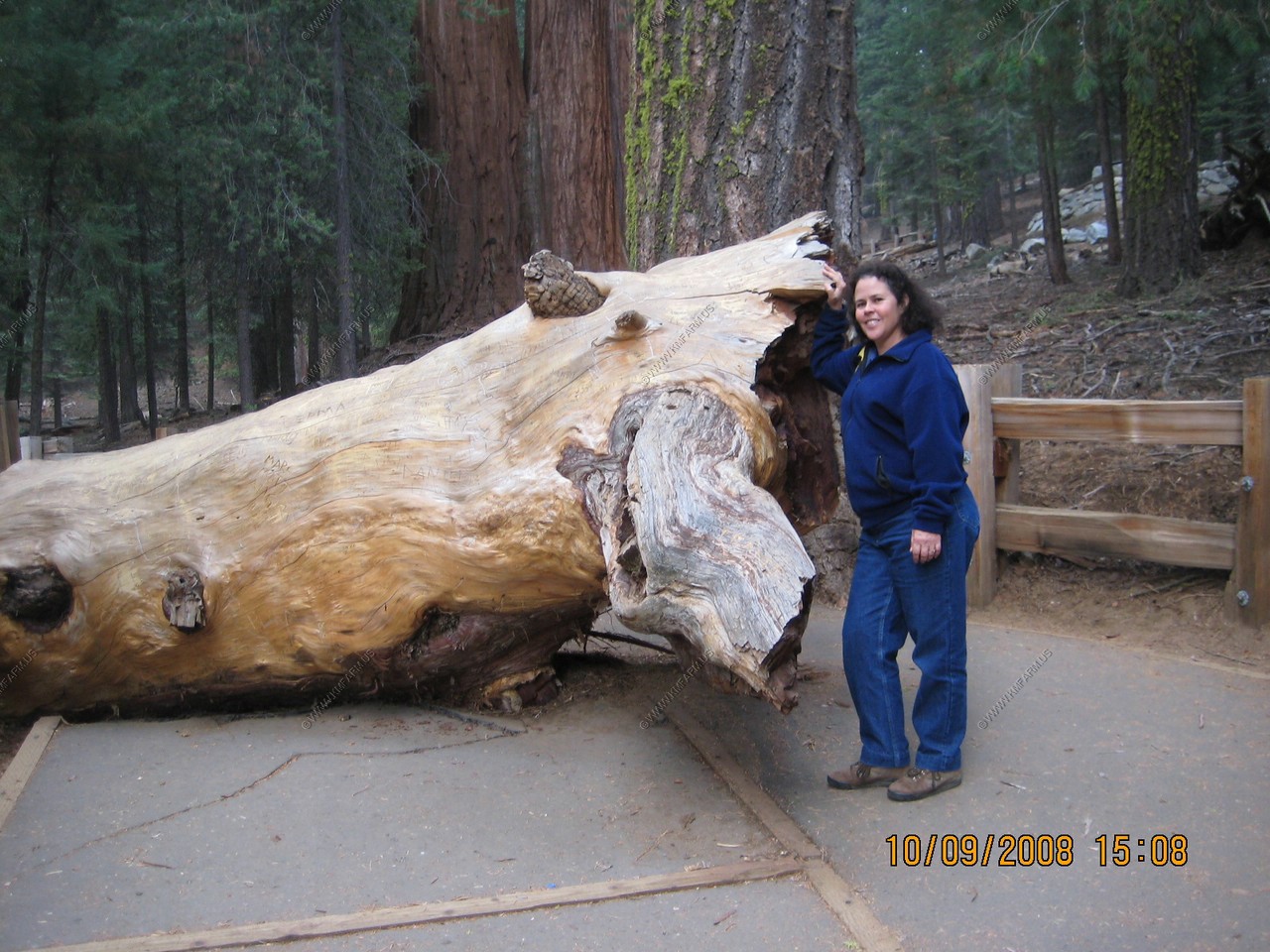
Mary standing by the branch that fell in January 2006
The only view that you can see the entire 275 foot tree.
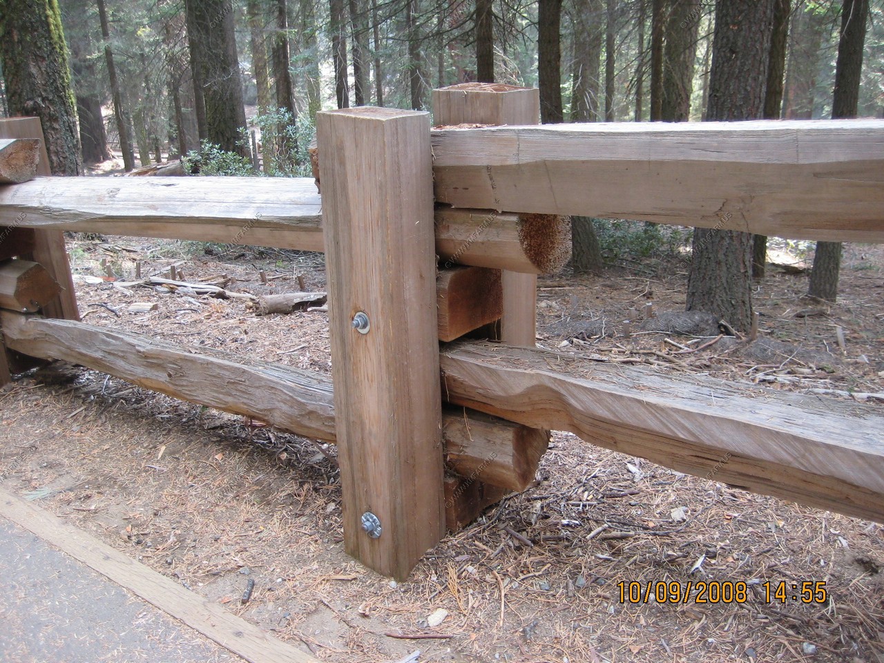
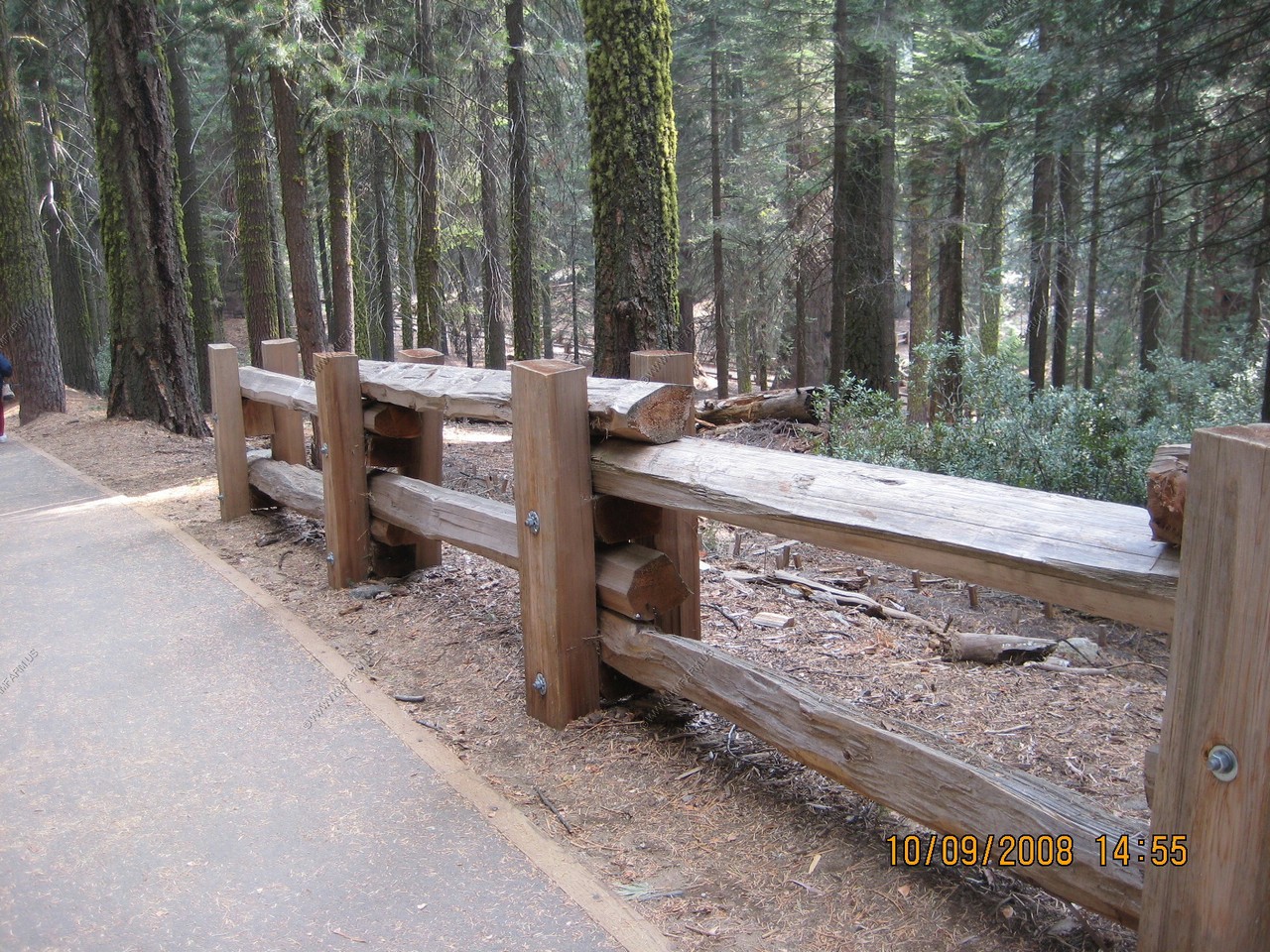
A very well constructed fence along the trail
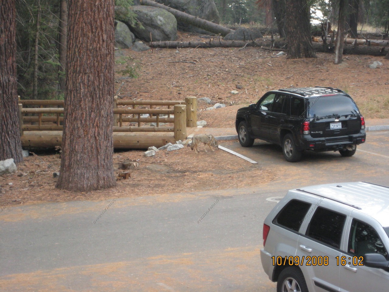
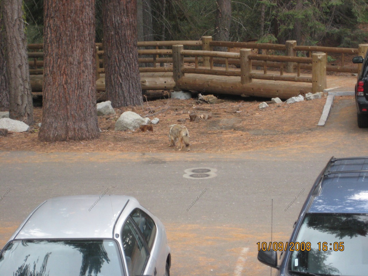
Coyote in the parking area
Our very nice / new room at Wuksachi Village.