Last Updated: 21-AUG-2018
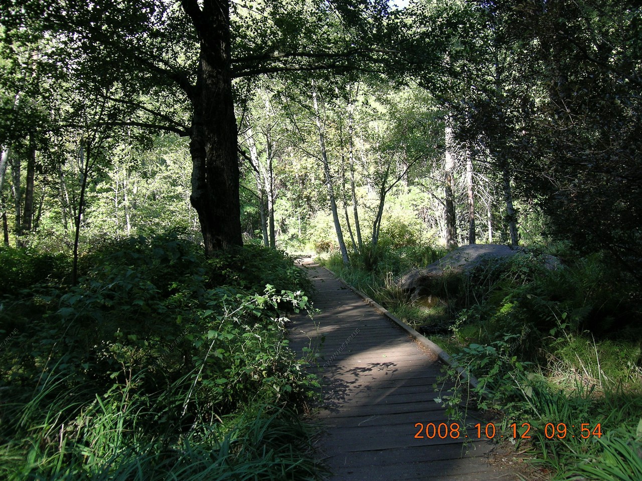
Our first morning at Yosemite was quite chilly so we had a big buffet breakfast at Curry Village, which was good. Then we got the shuttle to the Happy Isles Nature Center and hike. Saw a beautiful fen wetland and read about the rockfall of 1996. Then we hiked up to Vernal Falls bridge. Gorgeous scenery. We saw mule deer from the shuttle. We never drove the Trailblazer today.
After lunch we went to the Mirror Lake trailhead and walked to the dry lakebed. It is dry this time of year.
We took another shuttle bus to the El Capitan trailhead. We watched the mountain climbers. Earlier that day a group had set a new world record of 2 3/4 hours to climb to the top!
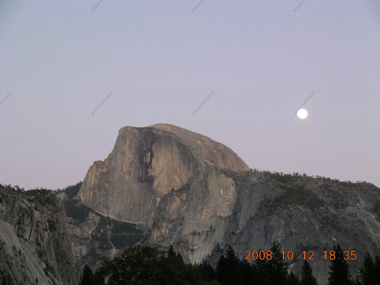
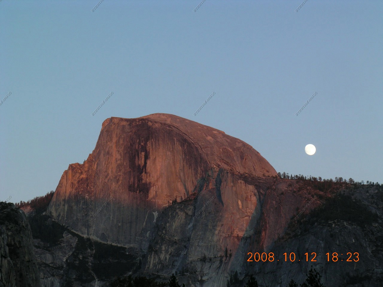
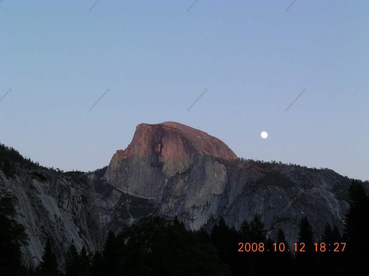
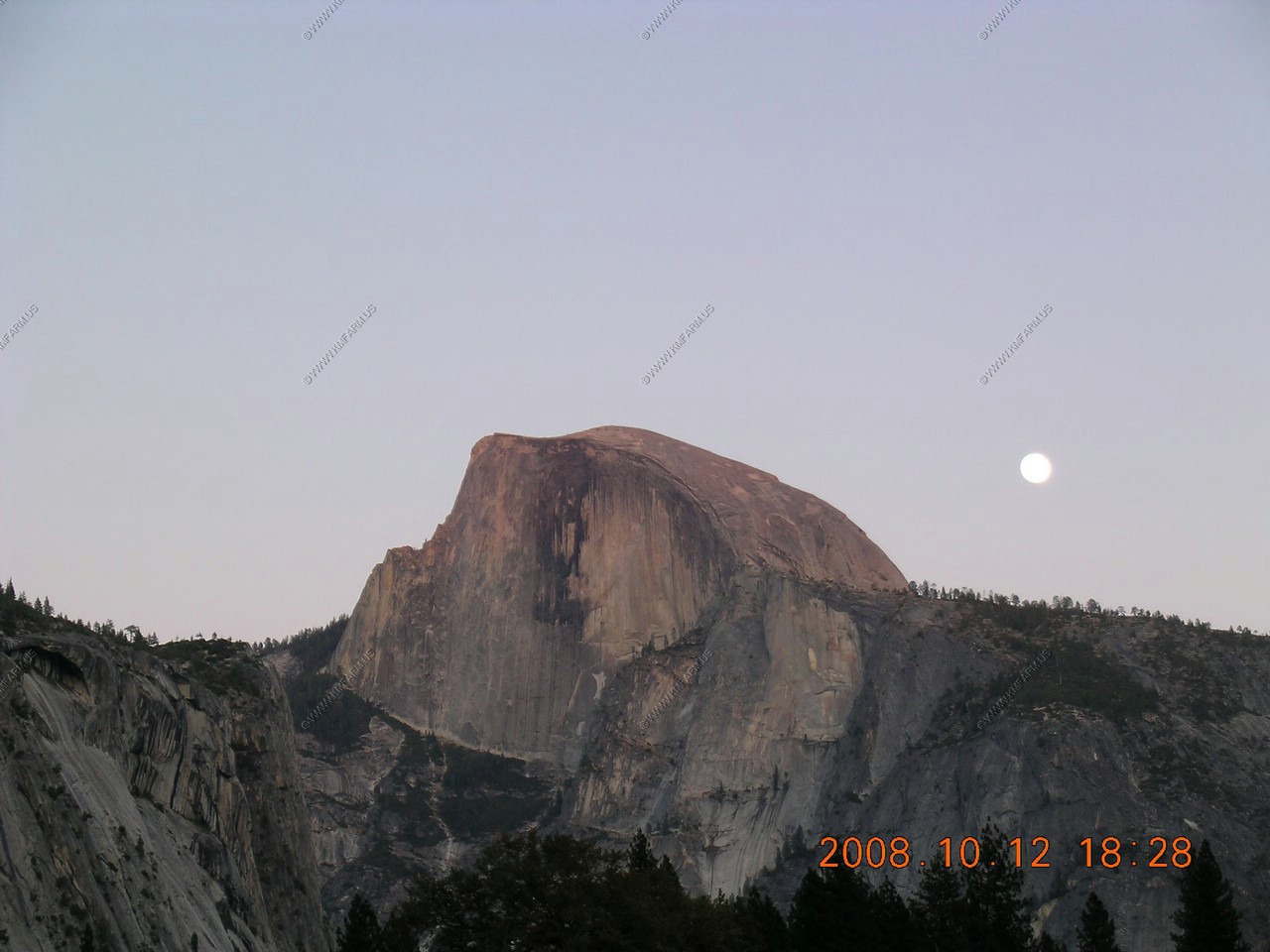
On the bus ride back we noticed a group of 2 dozen photographers in a field looking up at Half Dome. So we decided to hang around and see what they were waiting for. They were waiting for the full moon to rise above Half Dome, which was really amazing! Then we decided to go to the buffet at Curry Village for dinner but it was closed. Poor service for not posting this earlier. So we waited an hour for an overpriced pizza instead of leaving and waiting in line someplace else.
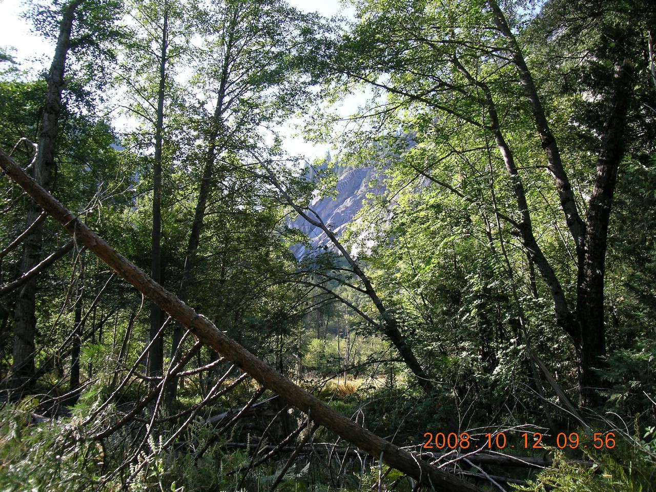
Happy Isles area Nature center and Fen (wetland)
Recipe for a fen.
Cold water seeps out of the rocky talus nearby onto this gentle slope, allowing plants to flourish. As plants die back each year they form spongy layers of partially decomposed materials, called peat. The peat layer grows higher in the middle of the fen and sheds water outward, killing the bordering trees and causing the fen to slowly expand.
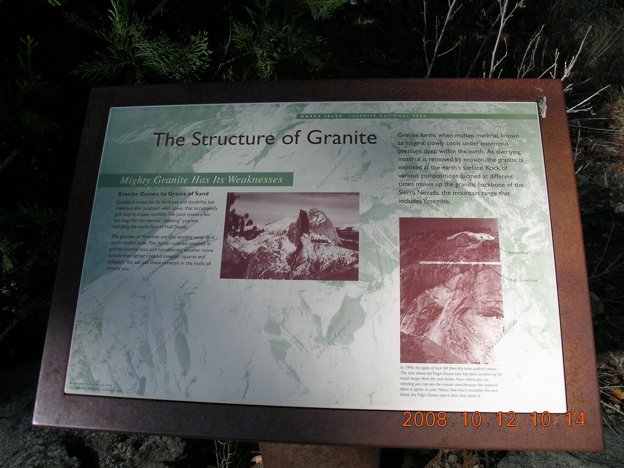
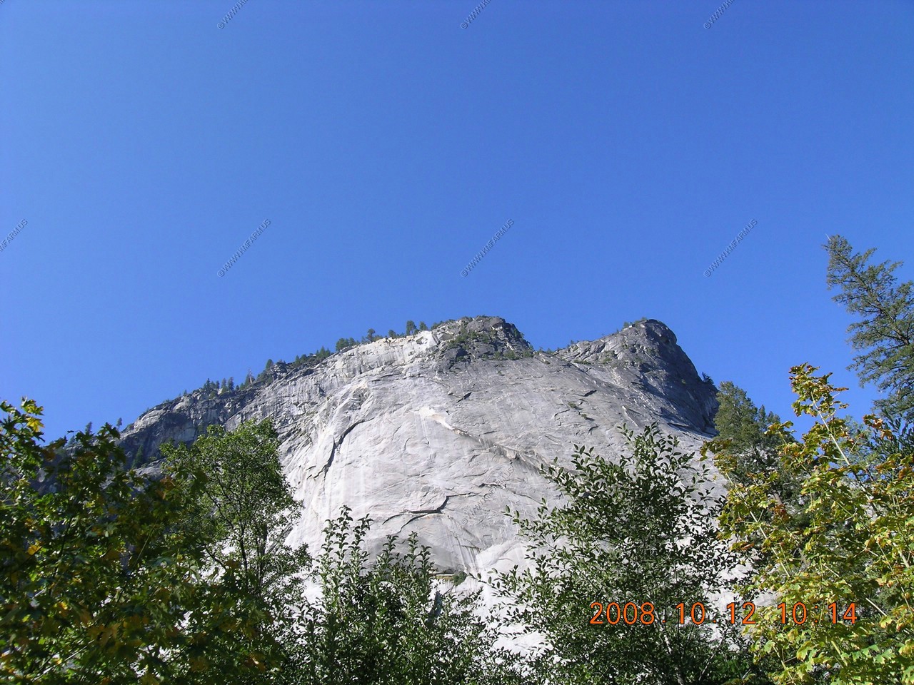
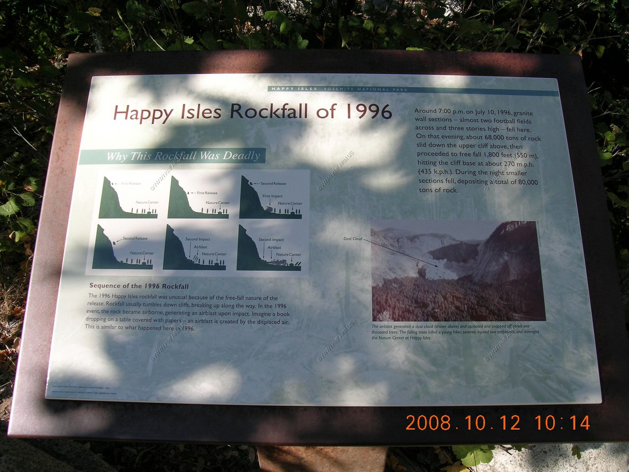
Looked at the area that the big rock slide occured here in 1996
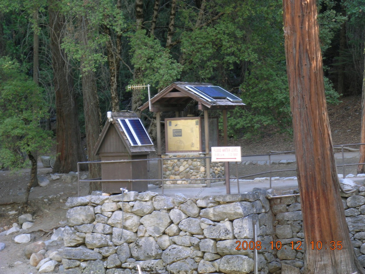
Stream gauging station along the Merced River

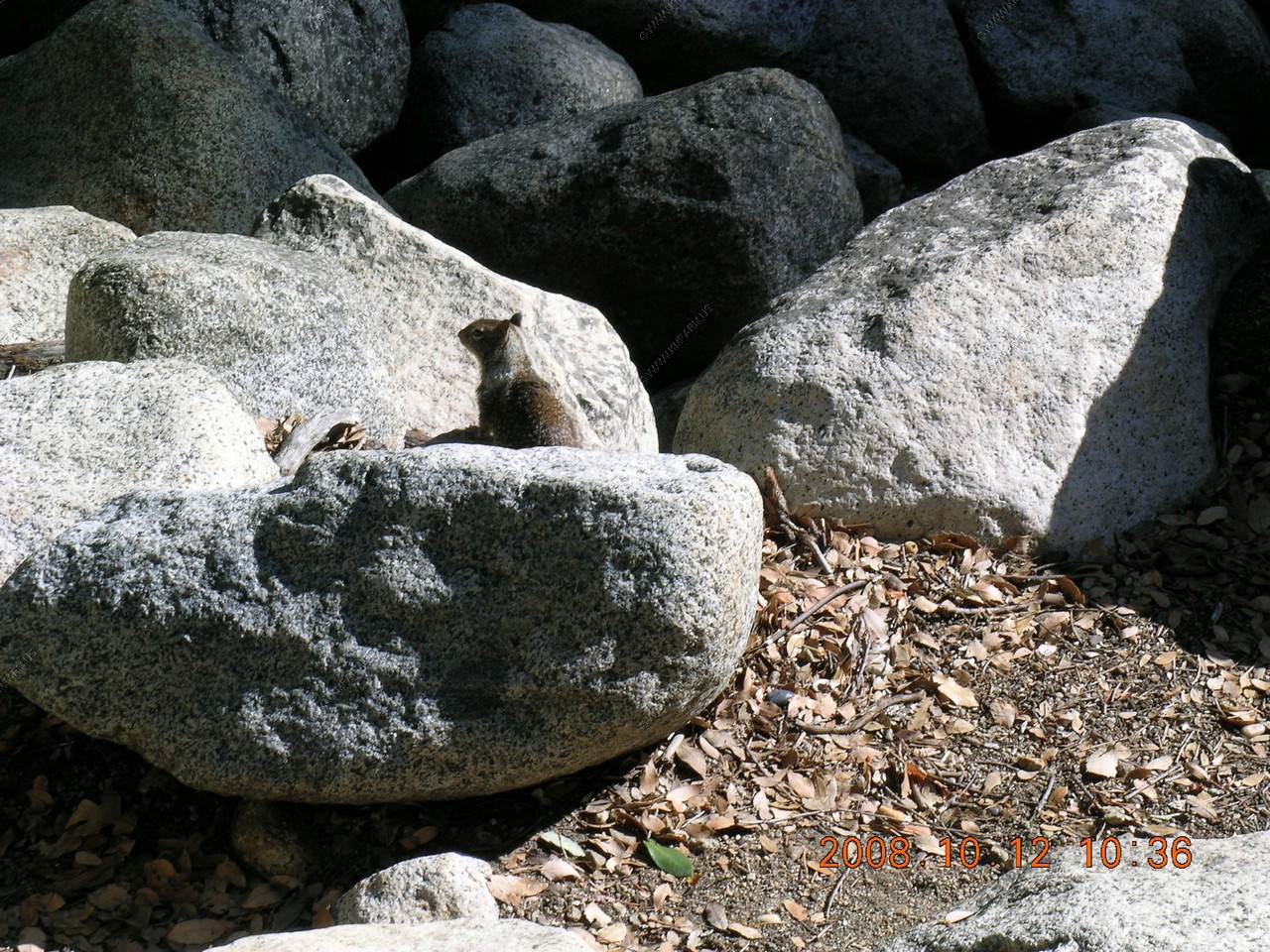
Critter
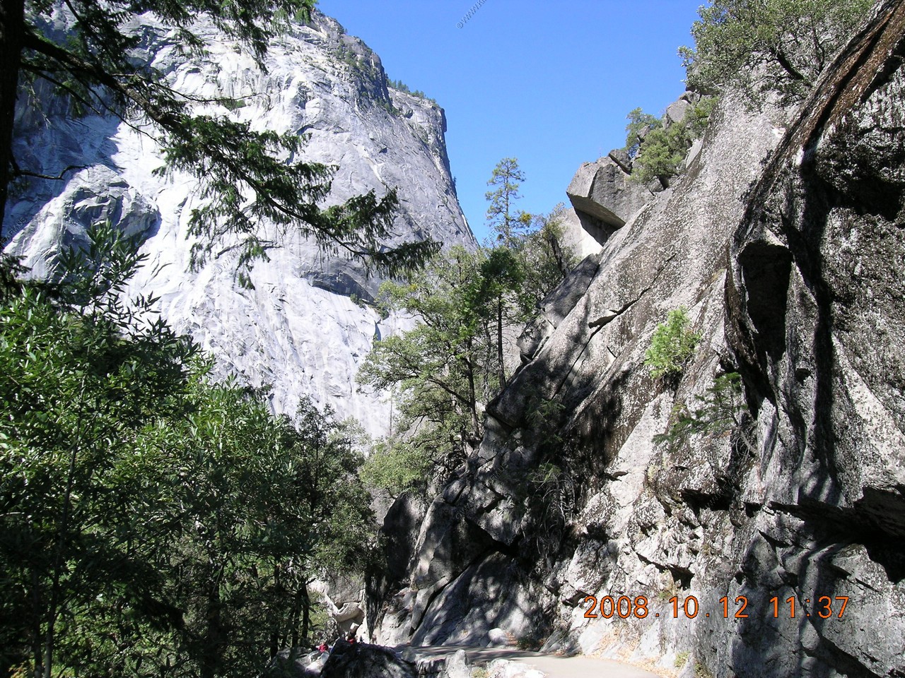
Hiked the all up-hill Mist trail. Less than a mile with a 1,008 foot elevation gain ! Also, very crowded! This trail leads to Vernal Falls, Nevada Falls and the John Muir Trail.

Got to love the miles to Mount Whitney, 211 miles!
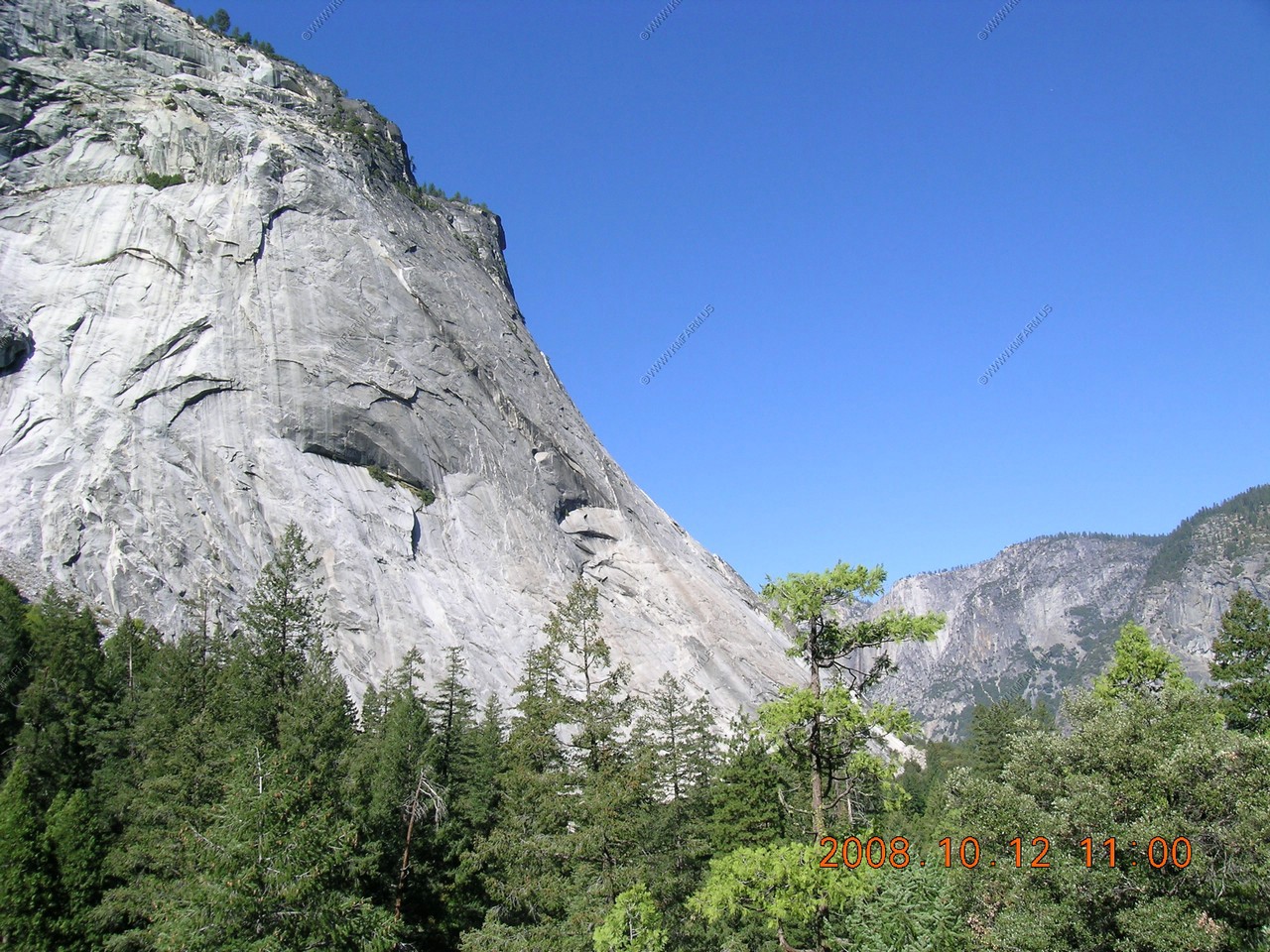
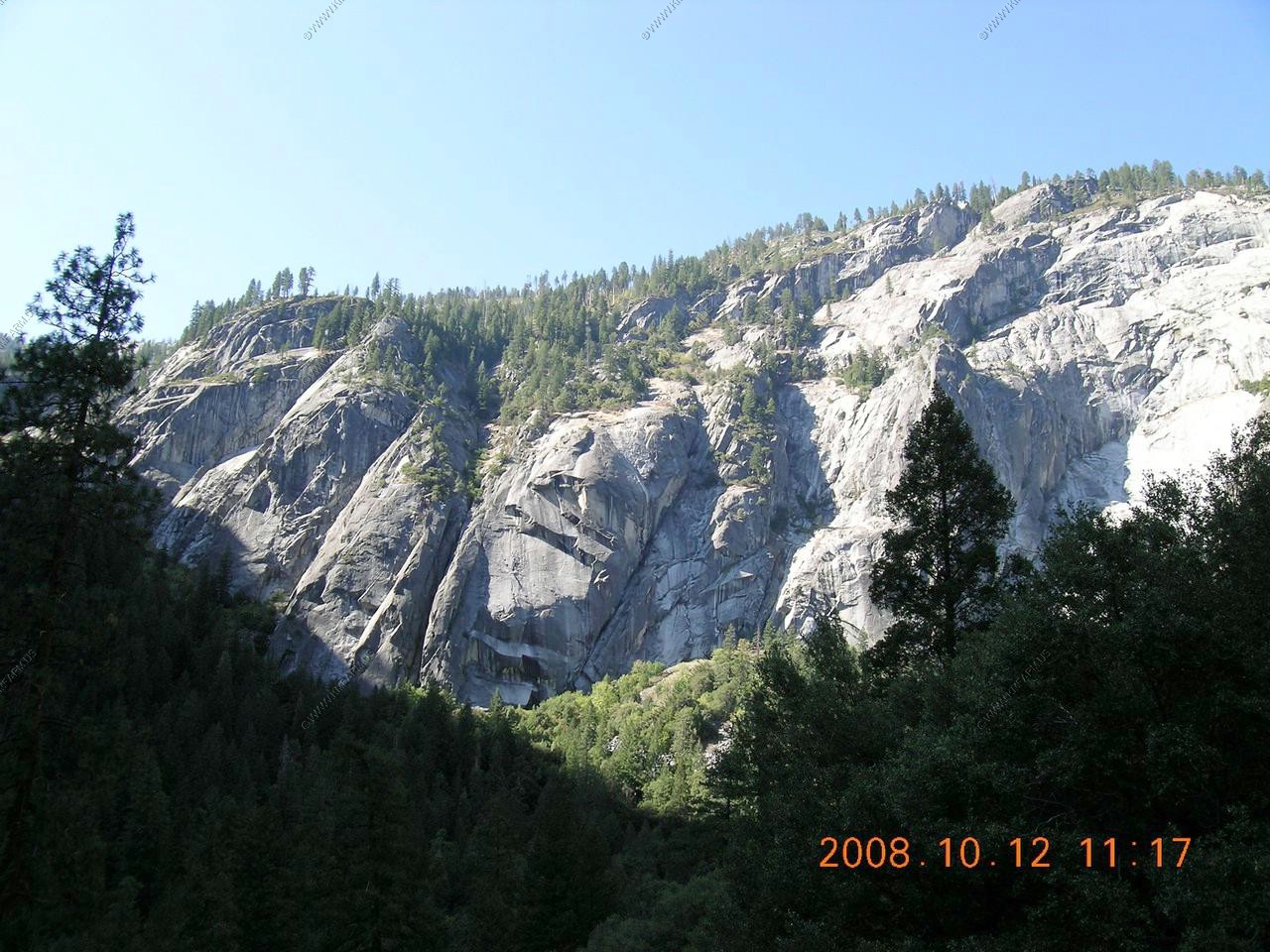
Views along the Mist Trail

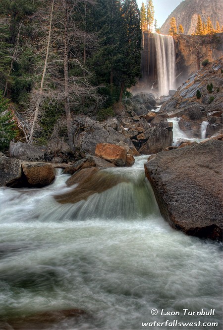
Vernal Falls (camera had operator error so this is a photo from the web)
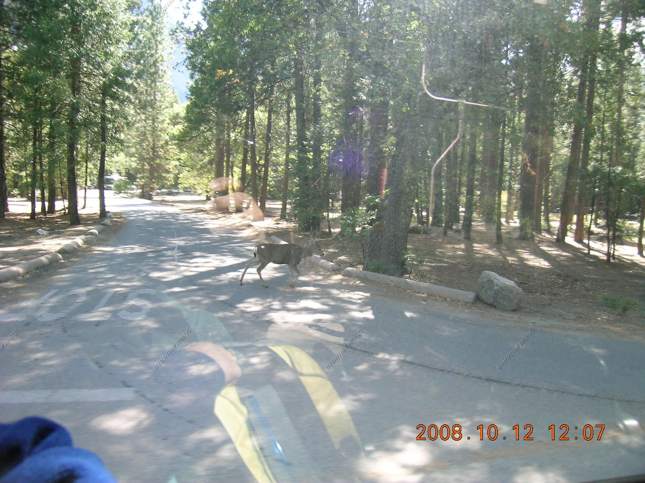
Mule Deer buck walking along the park roads
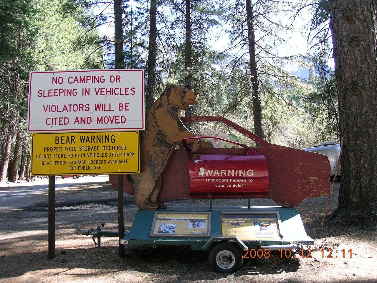
Bear warning signs
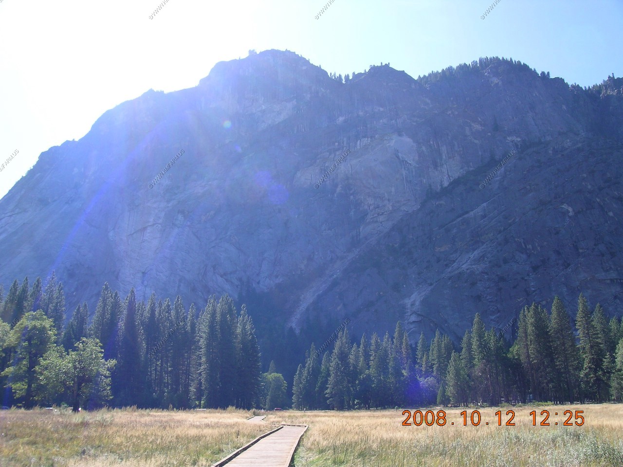
Nice open area called Stoneman Meadow across from Curry Village. Boardwalk area in Meadow.
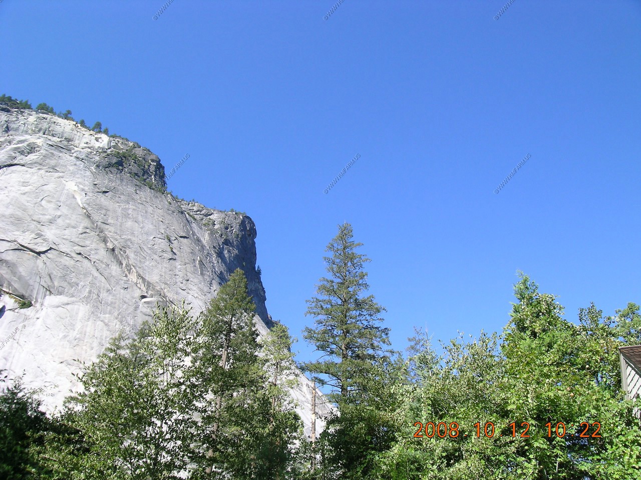
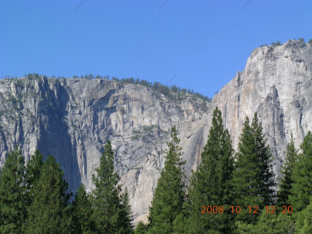
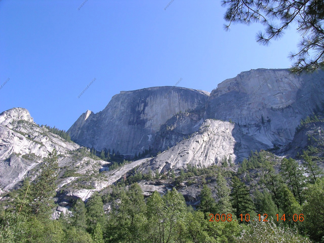
Looking at North Dome (El.7,525)

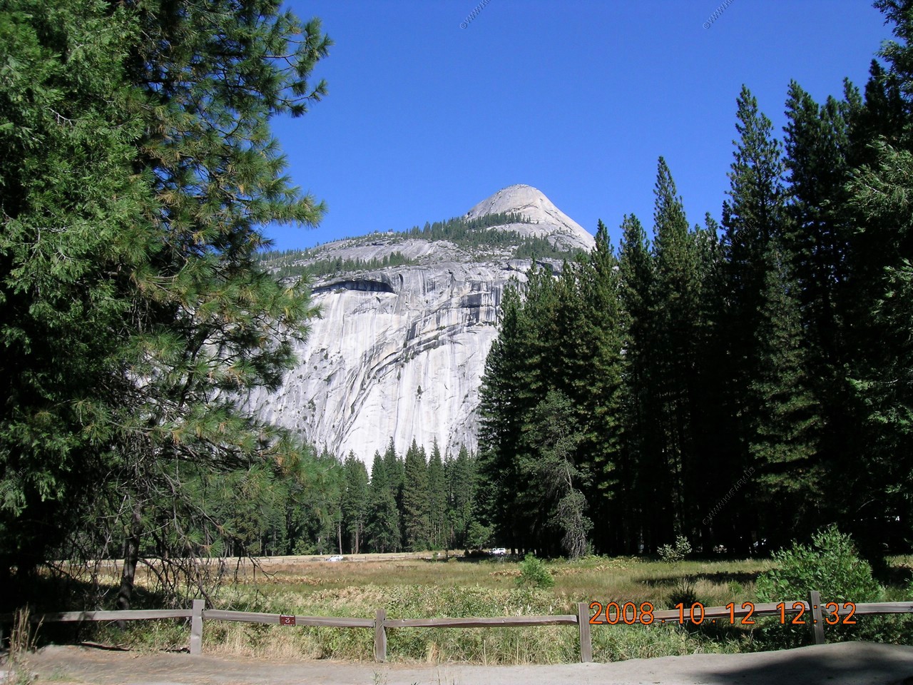
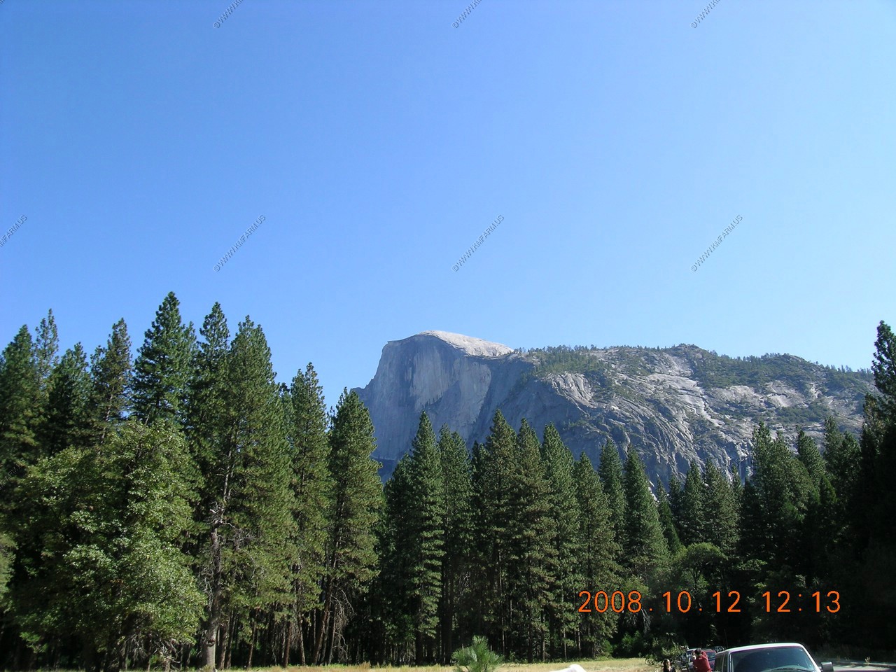
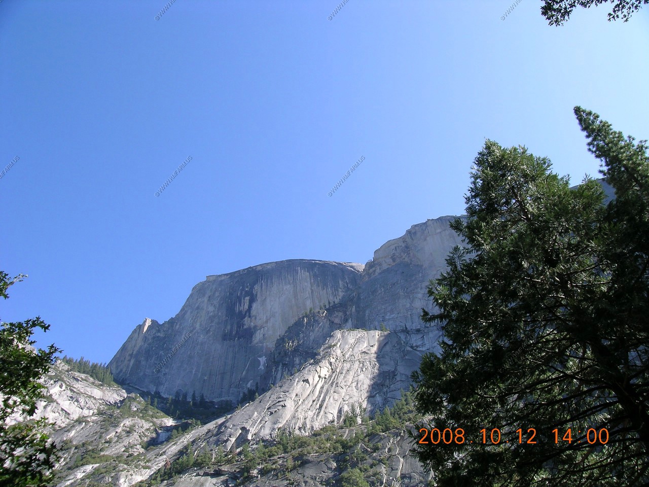
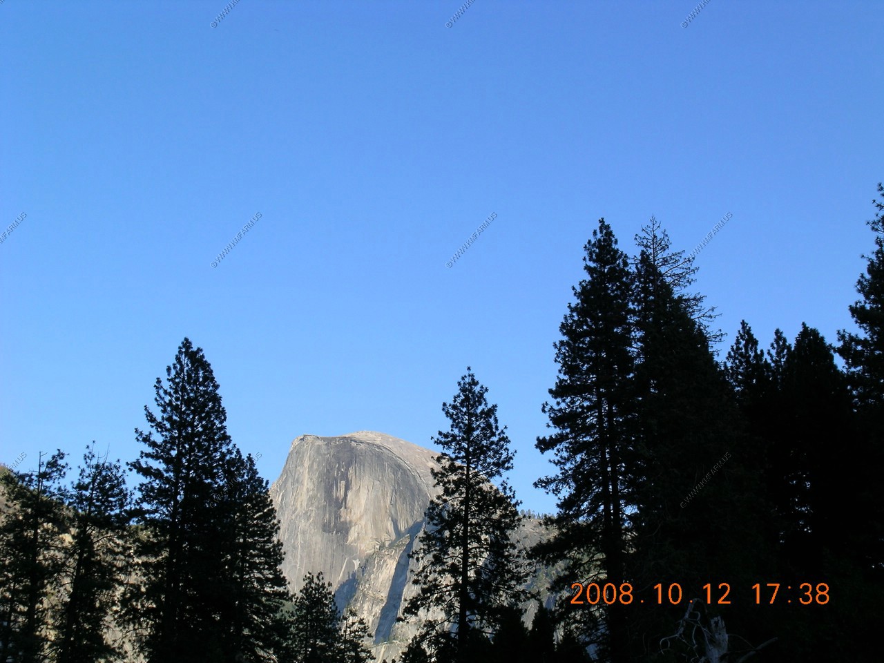
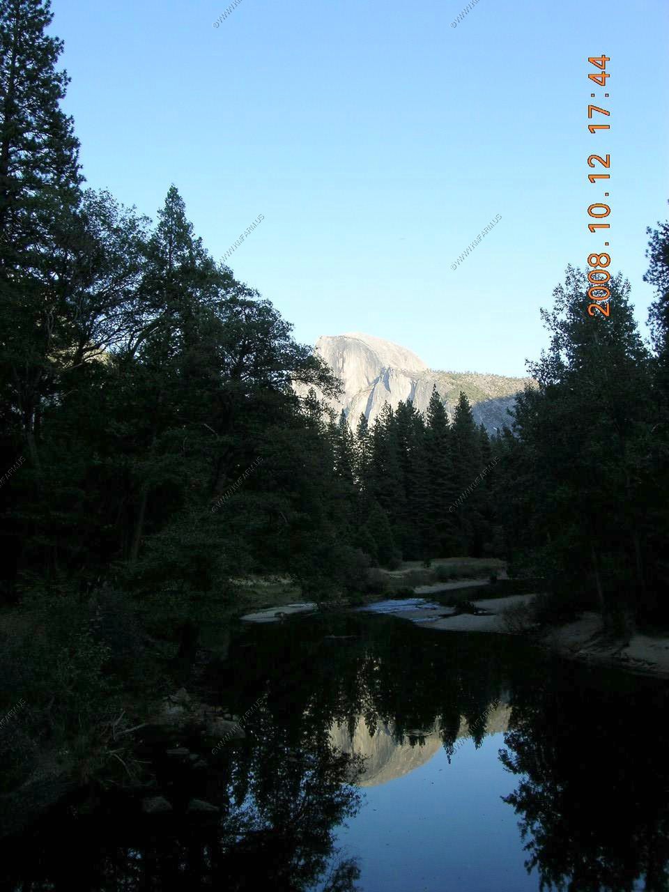
Half Dome (El. 8,842)
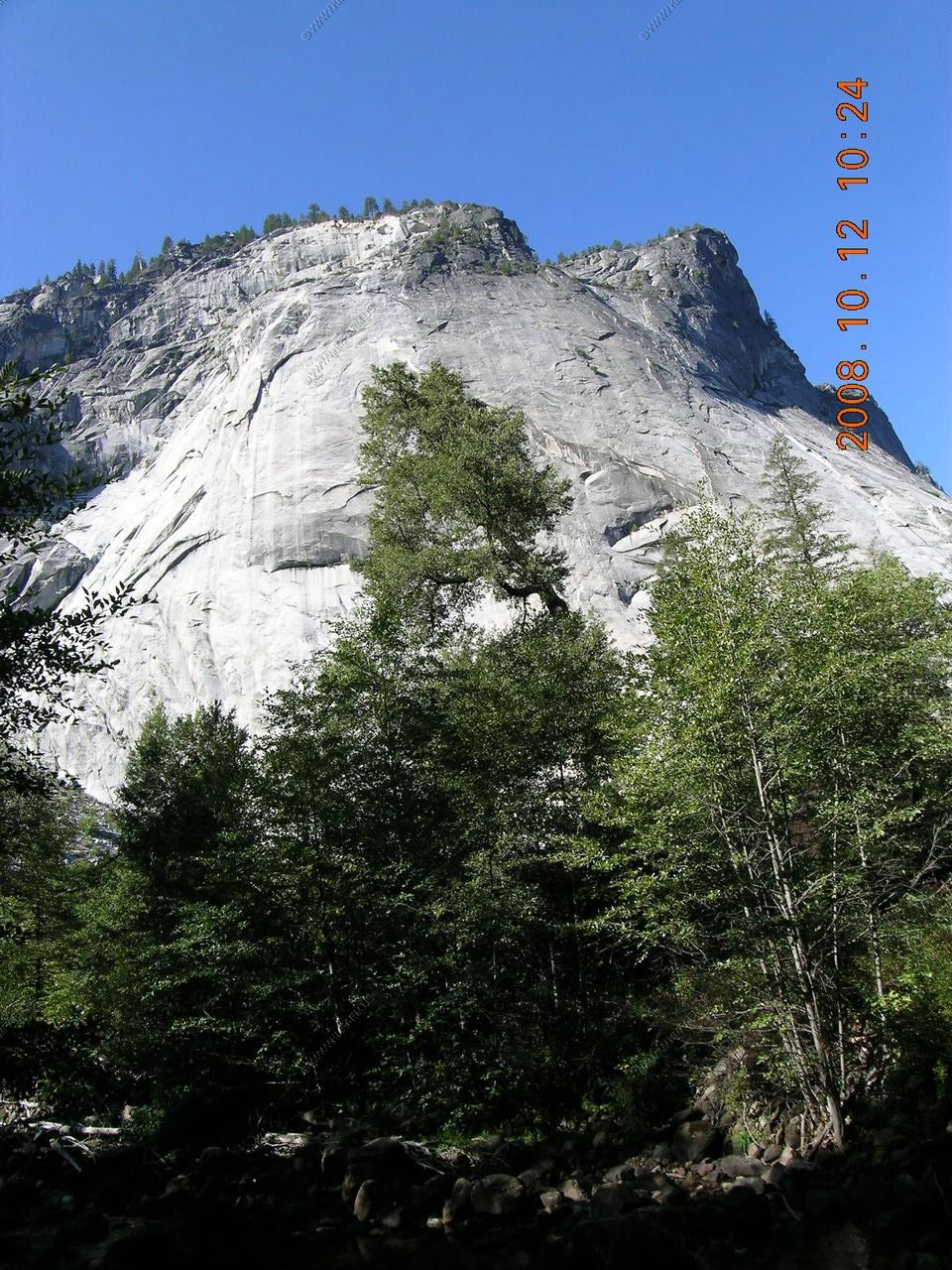
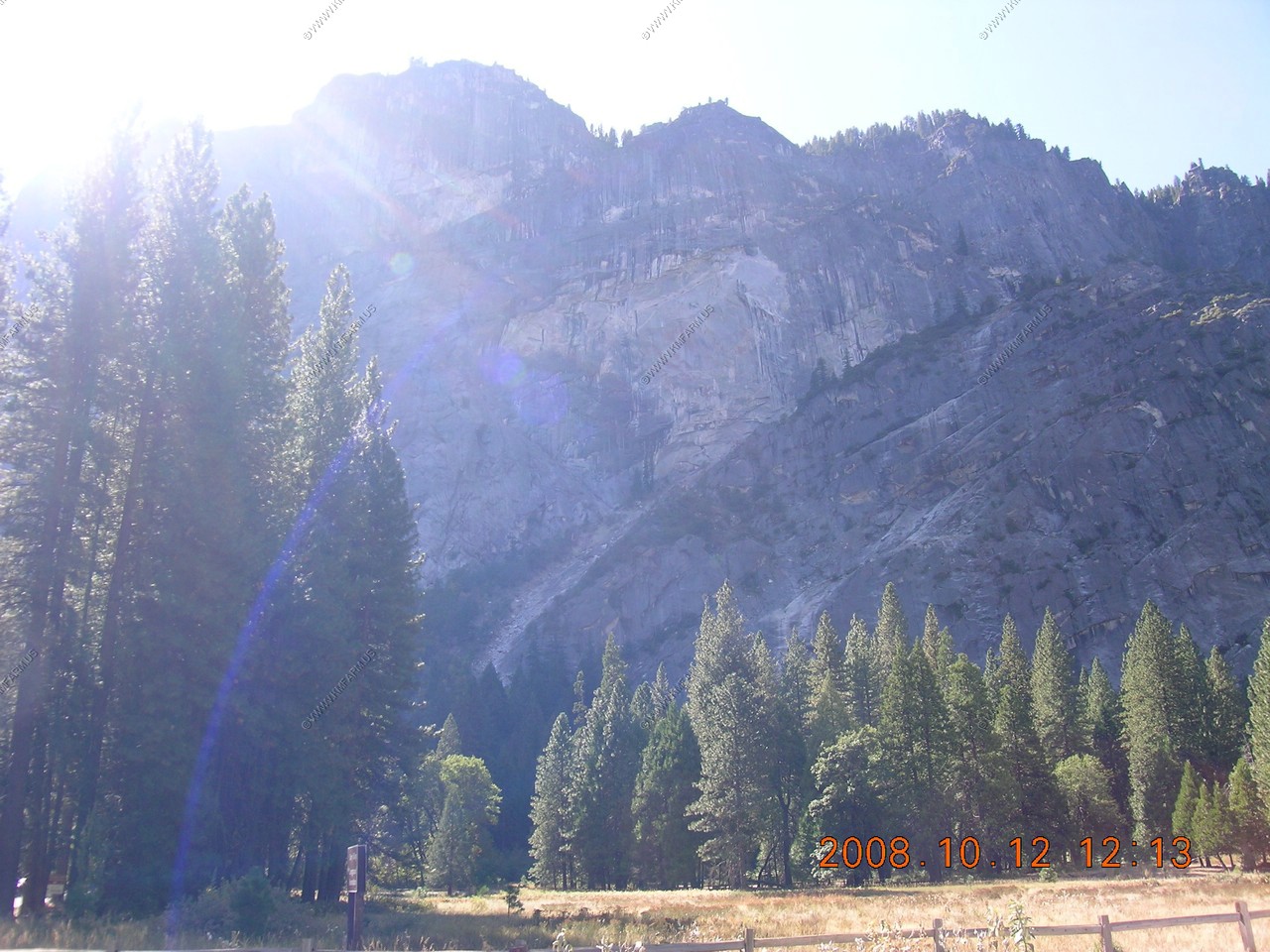
The rockslide area above Curry Vilage. Glacier Point (el. 7,214) is above the slide area. We would be up in this area tomorrow looking down.
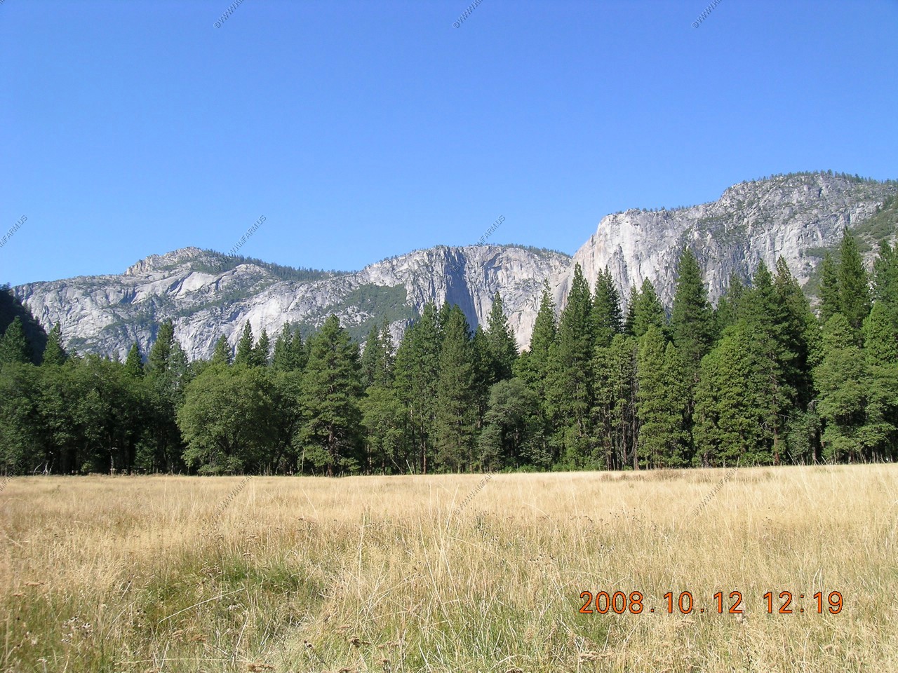
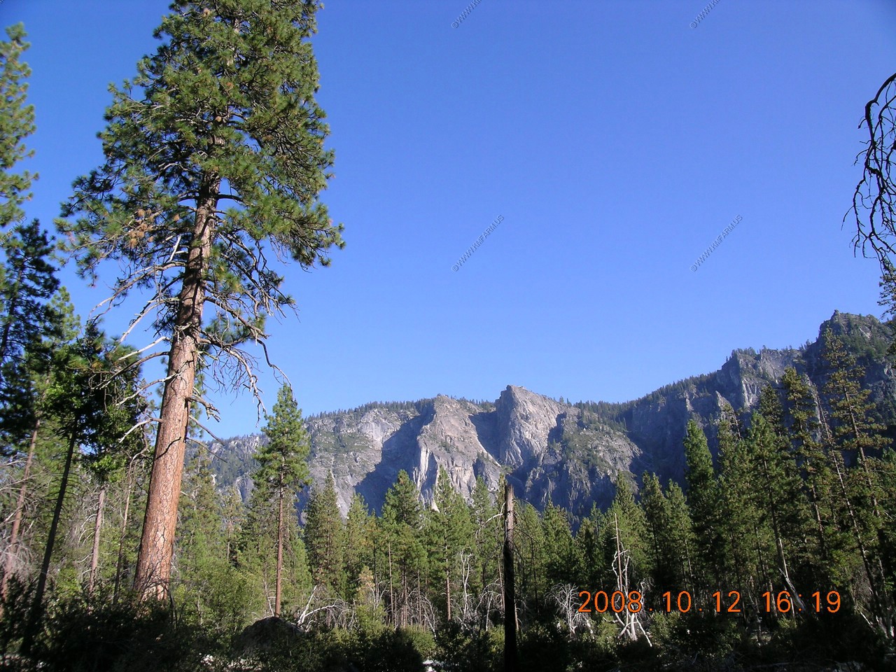
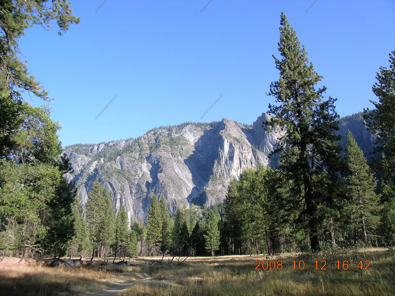
Looking west in the valley. Eagle Peak (El. 7,779) on the left and Yosemite Point (El. 6,936) on the right.
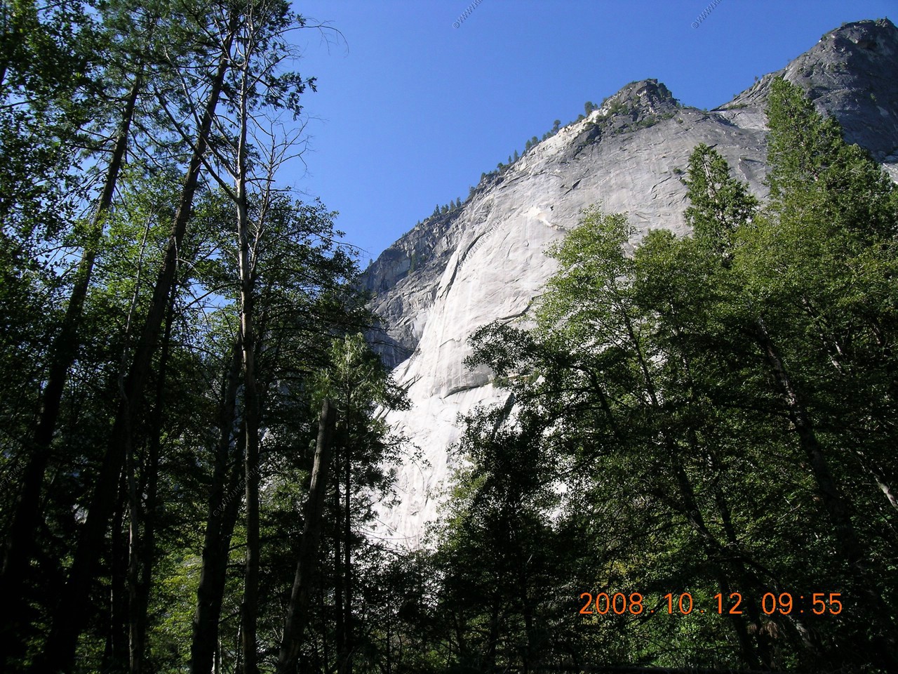
Upper Yosemite Falls (drop is 1,430 feet) But, its dry at this time of year. You can see the discoloration in the rock (darker)
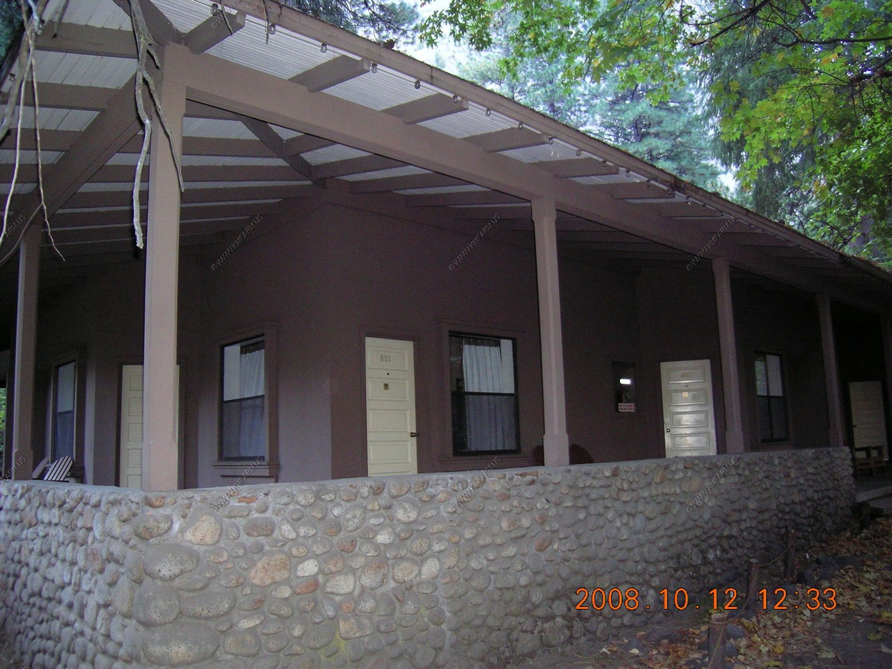
Our spot in Curry Village
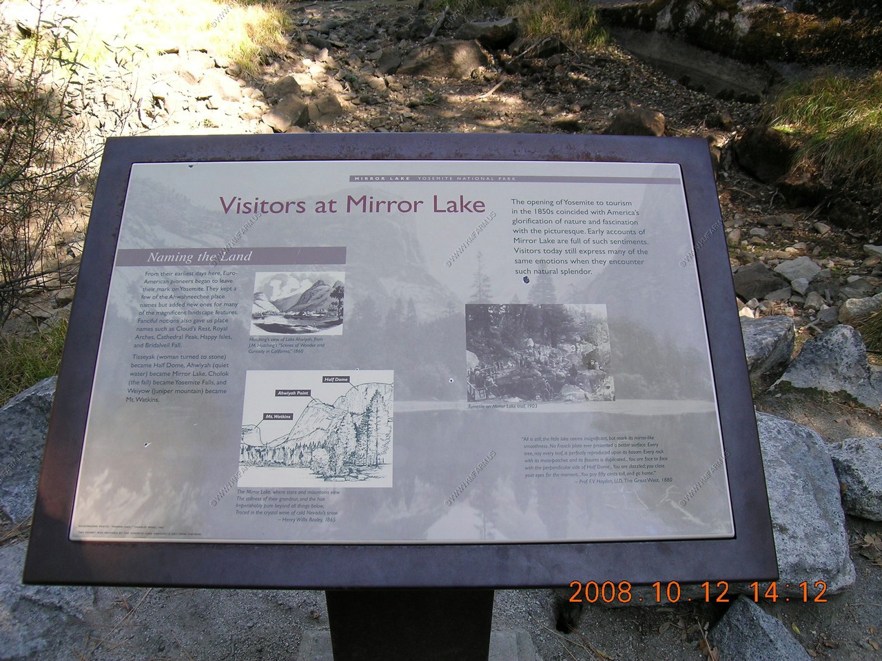
Mirror Lake
The trail was paved and had very little elevation gain.
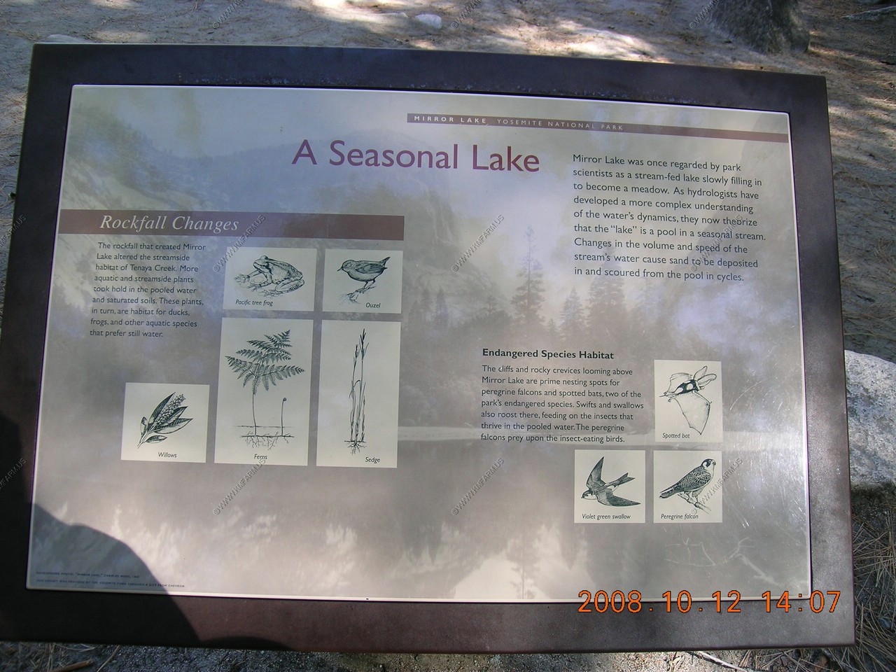
Mirror Lake was a much publicized attraction for the late 19th century tourists. It is still one of Yosemite's most popular hiking destinations. The view of Half Dome's 4,800-foot sheer face, seen from its base, is an attraction anytime of the year.
In the 19th century, Mirror Lake became famous for its magnificent views of surrounding peaks reflected in the water is glassy surface. But the lake was misnamed - it is simply a broad shallow pool in Tenaya Creek.
The reflecting pool varies with the season. By late summer, when Tenaya Creek is no longer fed by melting snows from above, the pool disappears.
This area was also signed as mountain lion habitat.
Perhaps only three or four hundred years ago, an enormous rockfall dumped boulders across this canyon, Damming Tenaya Creek. During the spring and early summer, the stream backs up into the two pools on either side of the dam.
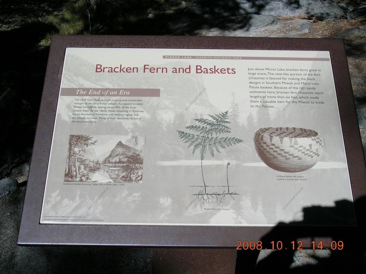
For centuries, the local Indians used the Bracken fern found above Mirror Lake. In the 1800's white-America entrepreneurs found new uses for the area's resources. Hotel owners began marketing the magnificent scenery to an enthusiastic audience of travelers. The lake's ice and eventually its sand were harvested as well.
Yosemite's early hotel industry responded to increasing tourism by providing diverse services for guests. The harvesting of ice from Mirror Lake made it possible to store foods grown in Yosemite Valley. The ice house foundation is nearby.
Crews dredged sand from Mirror Lake and spread it on Yosemite's icy roads in winter. Dredging, started in the 1880s, maintained the size of Mirror Lake's reflective surface. The park discontinued this practice in 1971.
Looking at a dry lake
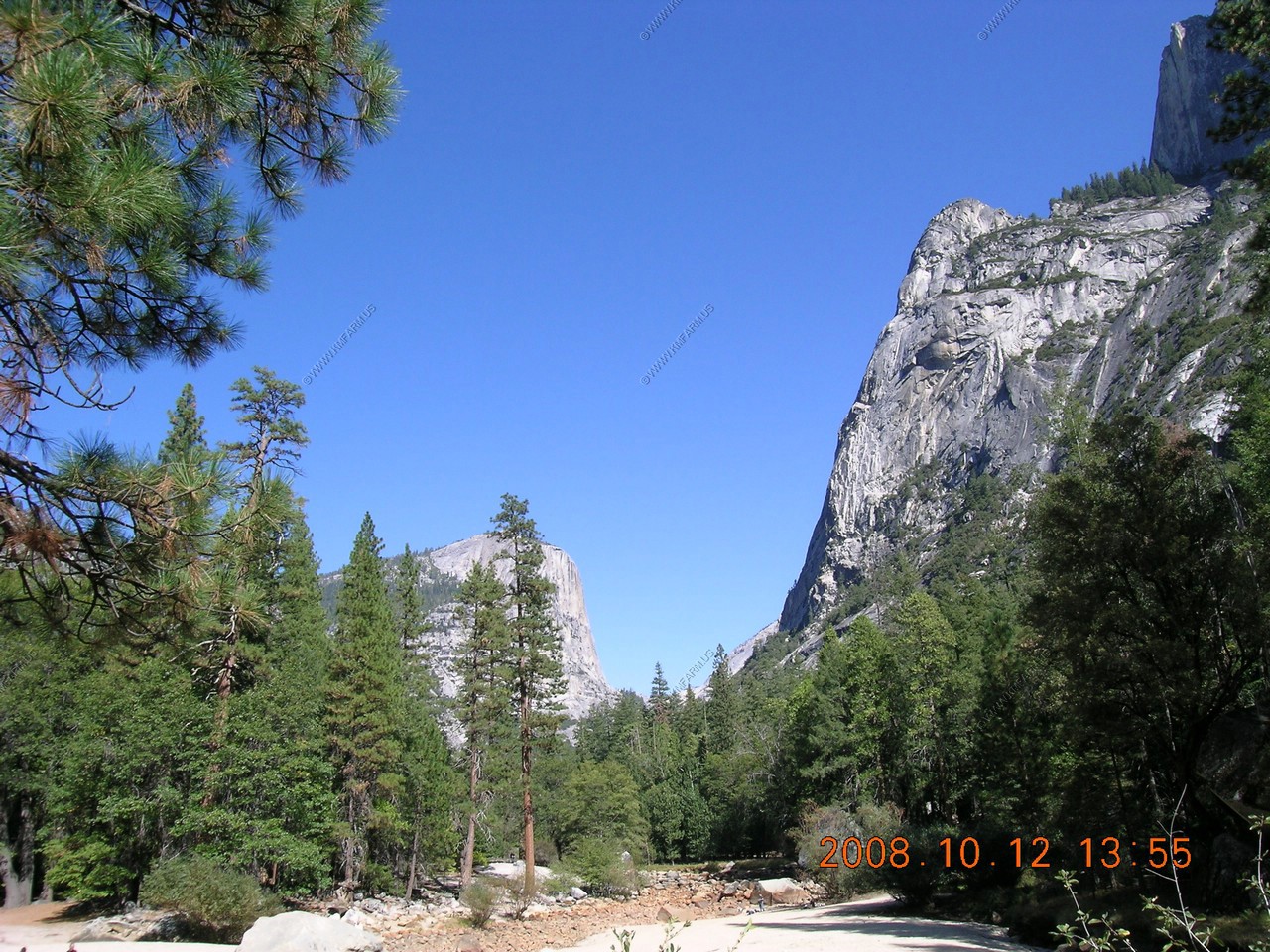
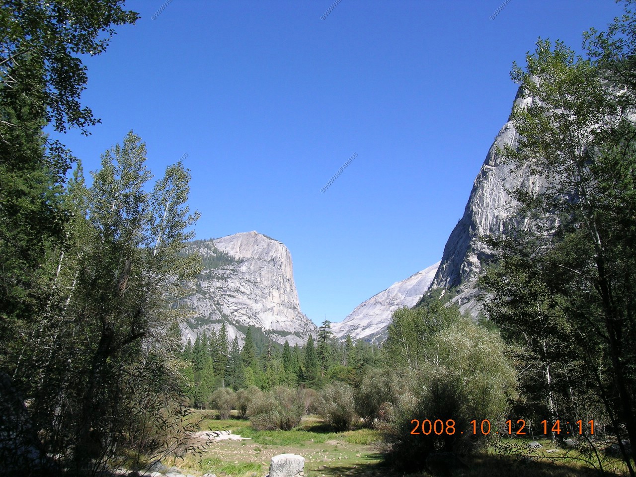
Looking up the 4,800 foot vertical rise of Half Dome
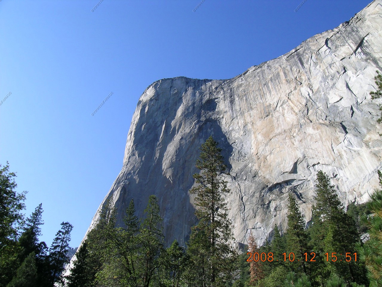
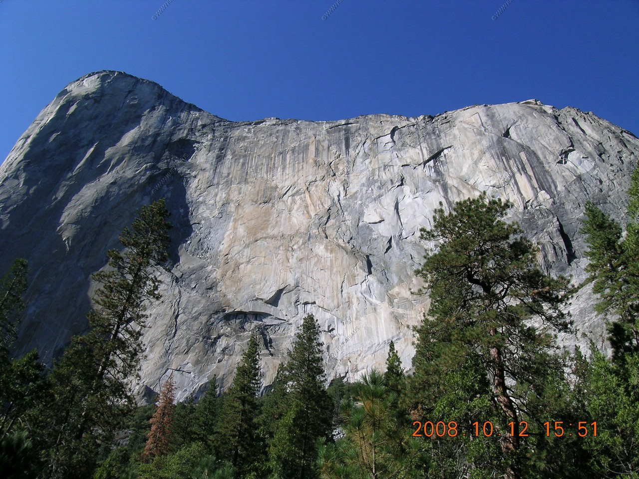
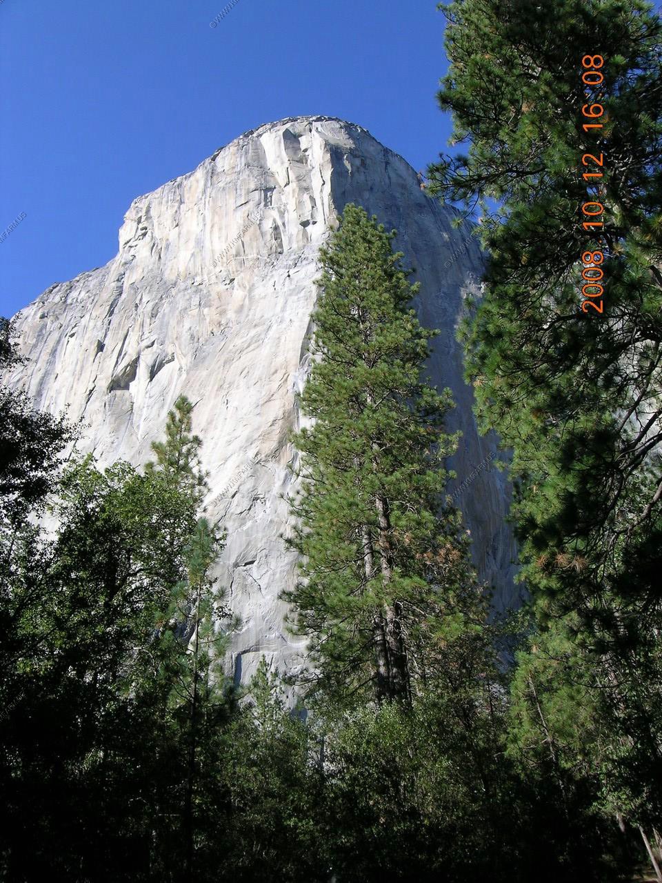
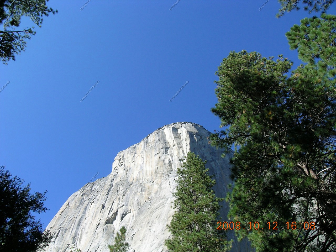
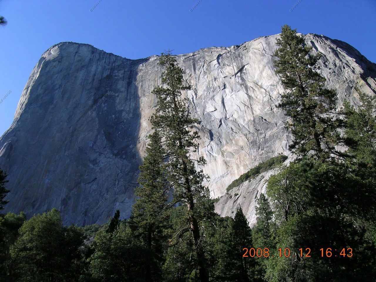
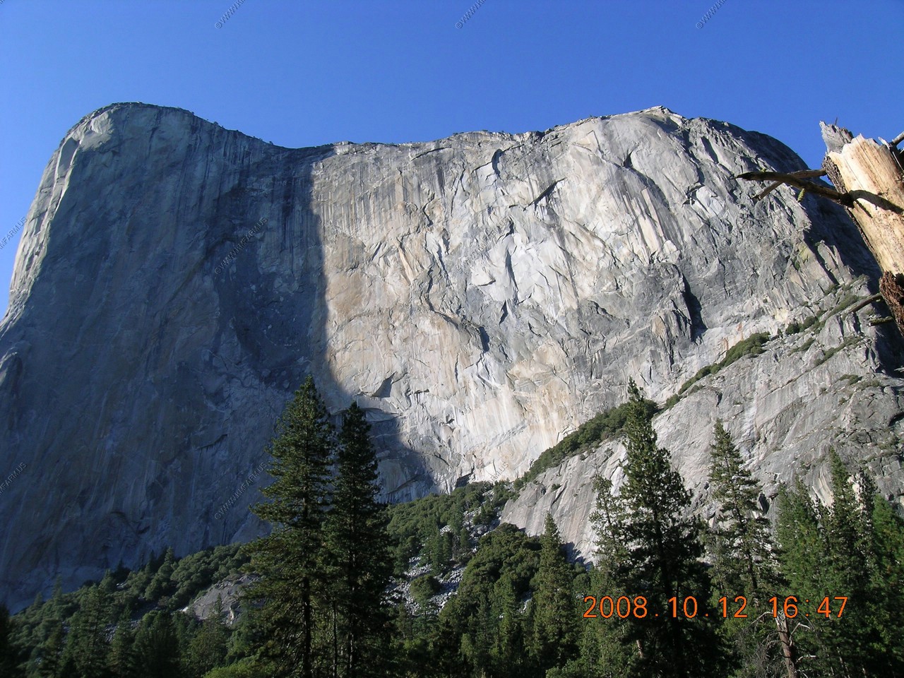
El Capitan
We took the bus down to El Capitan. This was a bit more complex than we realized as we had to change buses at Yosemite Lodge and the bus that runs down to El Capitan only runs every 30 minutes up to 6pm.
So, we got dropped off at the El Capitan Picnic area and walked the half mile or so to the base of El Capitan.
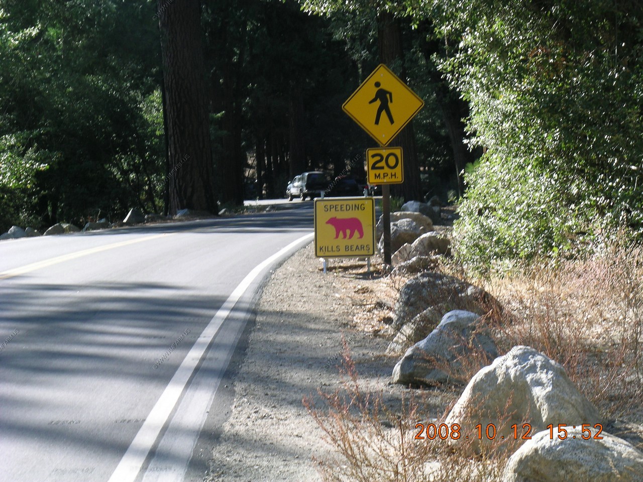
They had the "speeding kills bears" signs along the roads. A bear was killed at each of these locations.
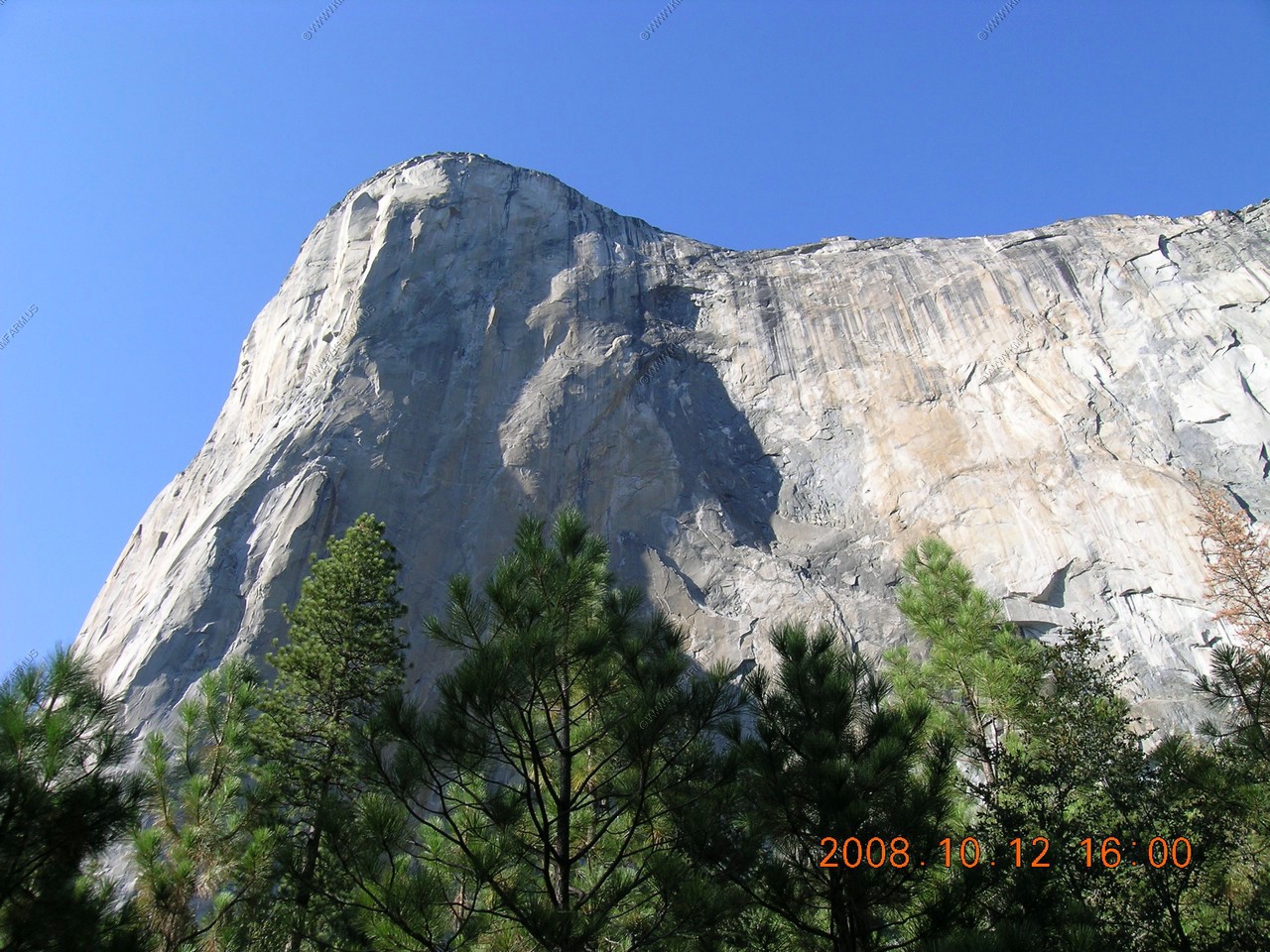
Rock climbers on the face. They are located appx. an inch and a half above the 2008 in the date label. Amazing ! Compare it to the second un-zoomed photo.


Views of the front (The Nose)
Across the Merced River, Cathedral rocks and Cathedral Spires.
Looking back at the sheer 3,000 foot vertical rock face. Only three days before they set a new Speed record on El Capitan's The Nose, climbing the route in a mere 2:37:05, beating the previous record set by themselves in July this year by a staggering 6 minutes.
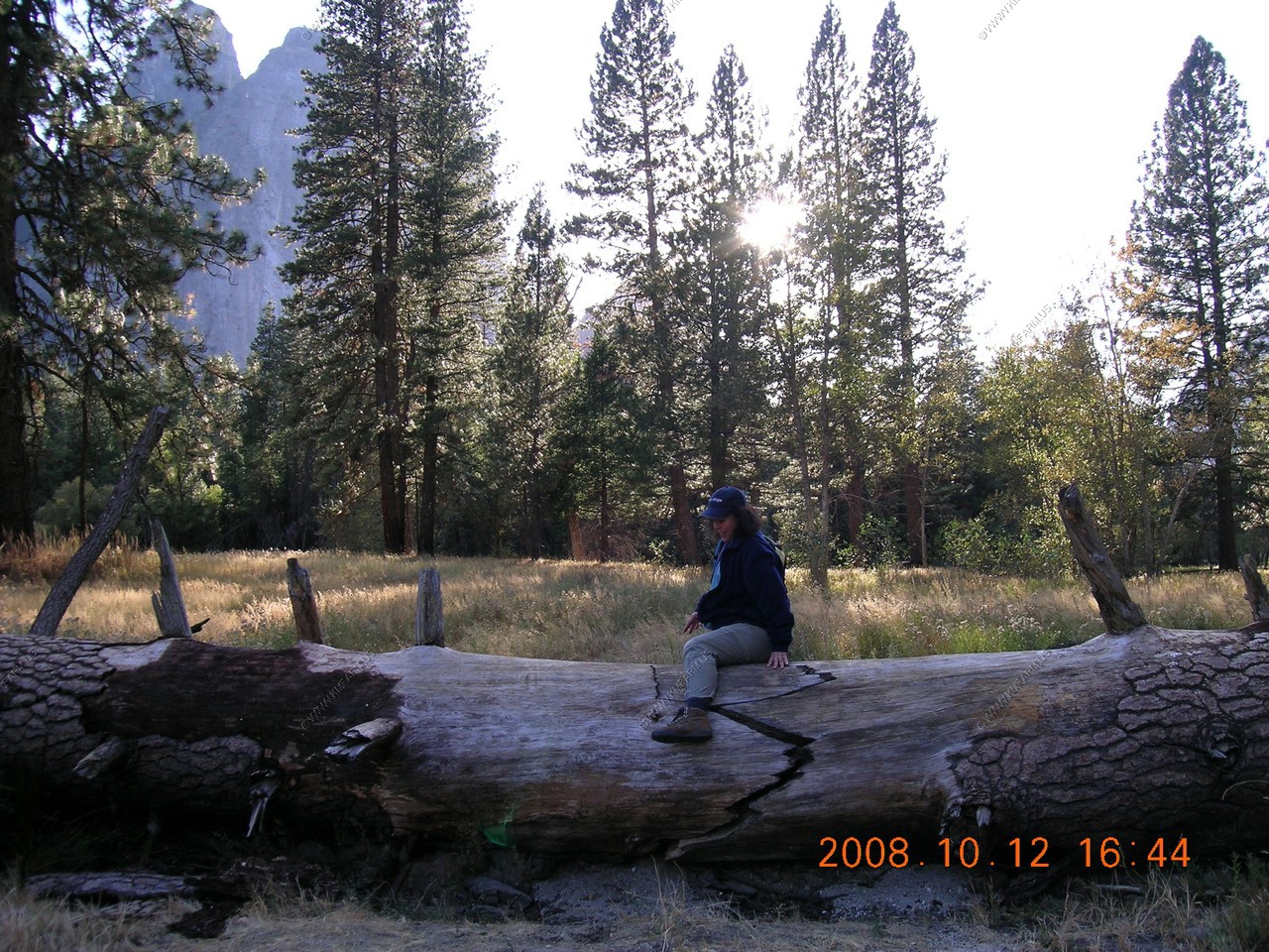
Mary log hopping..
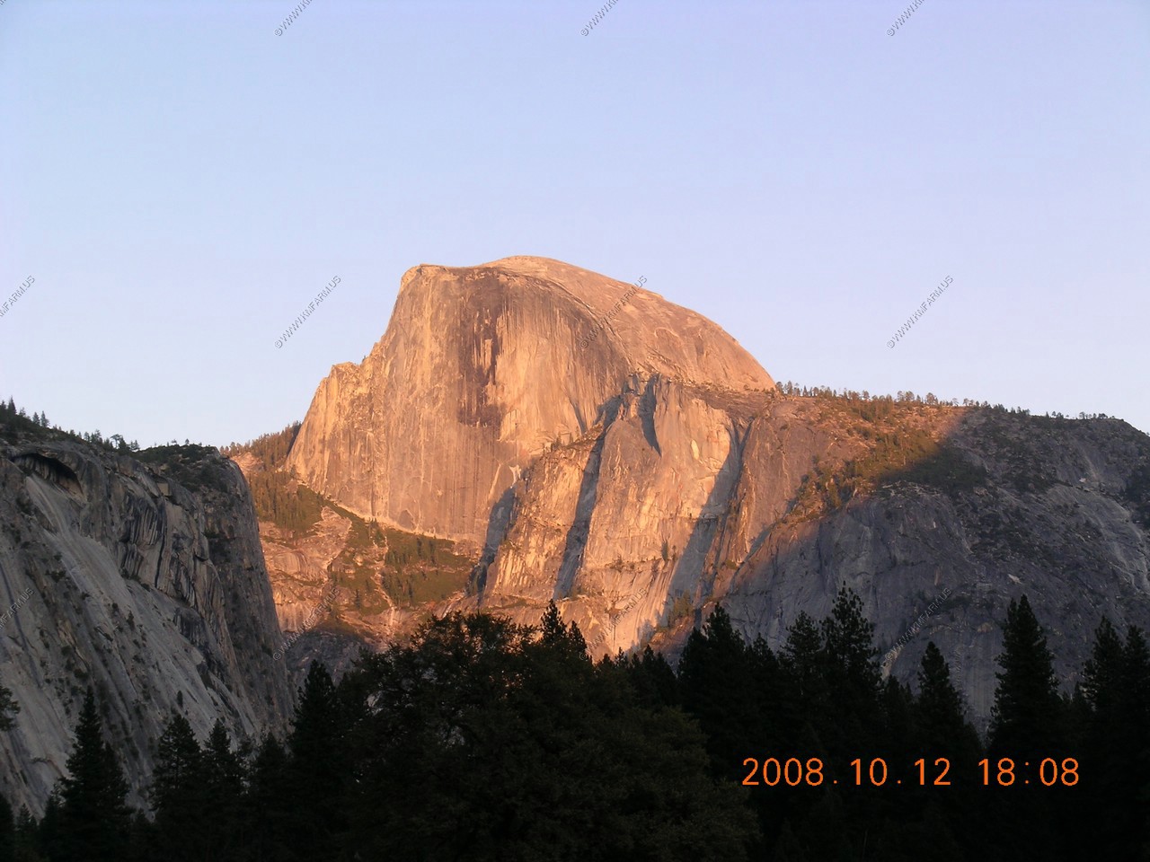
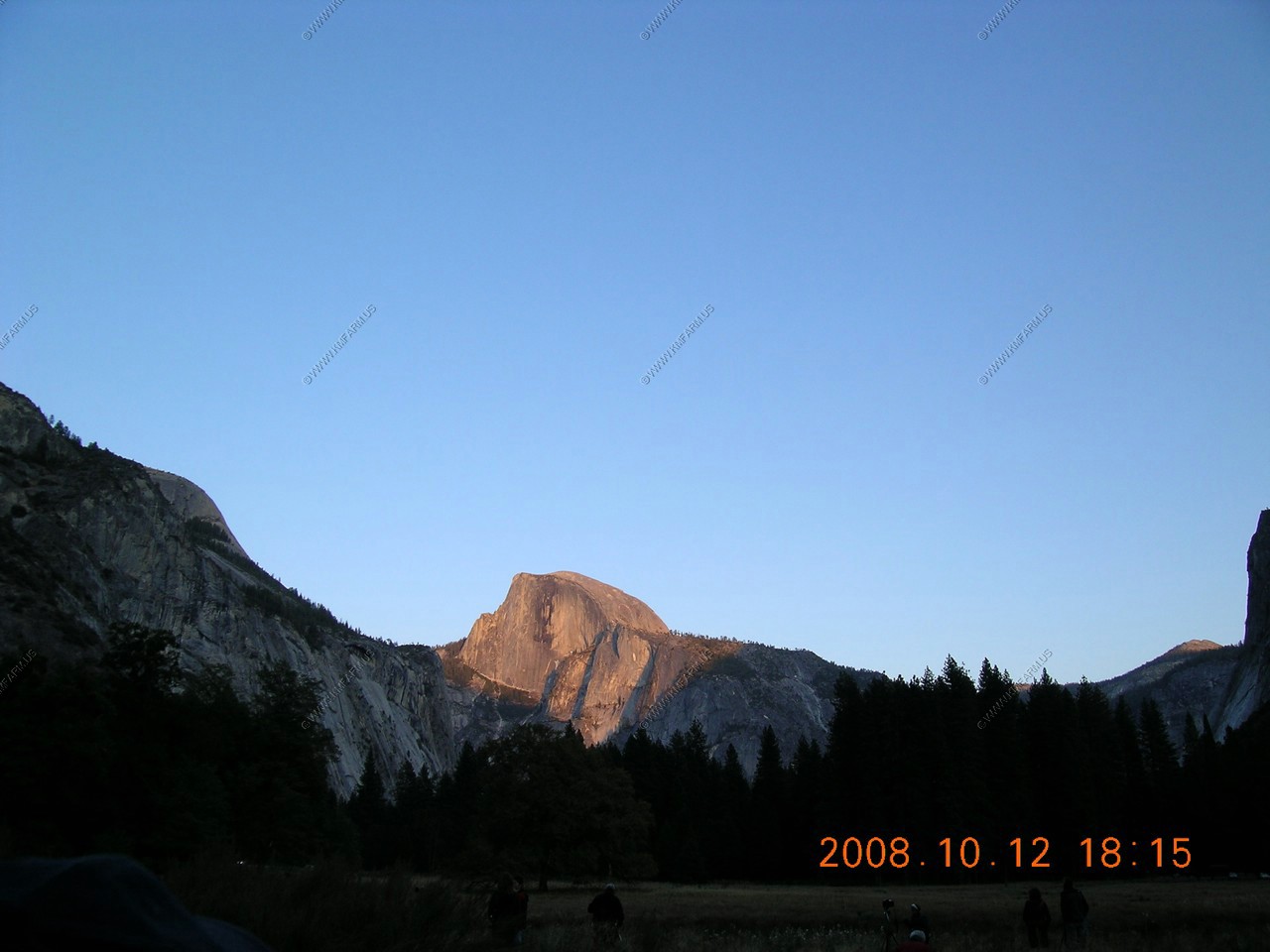
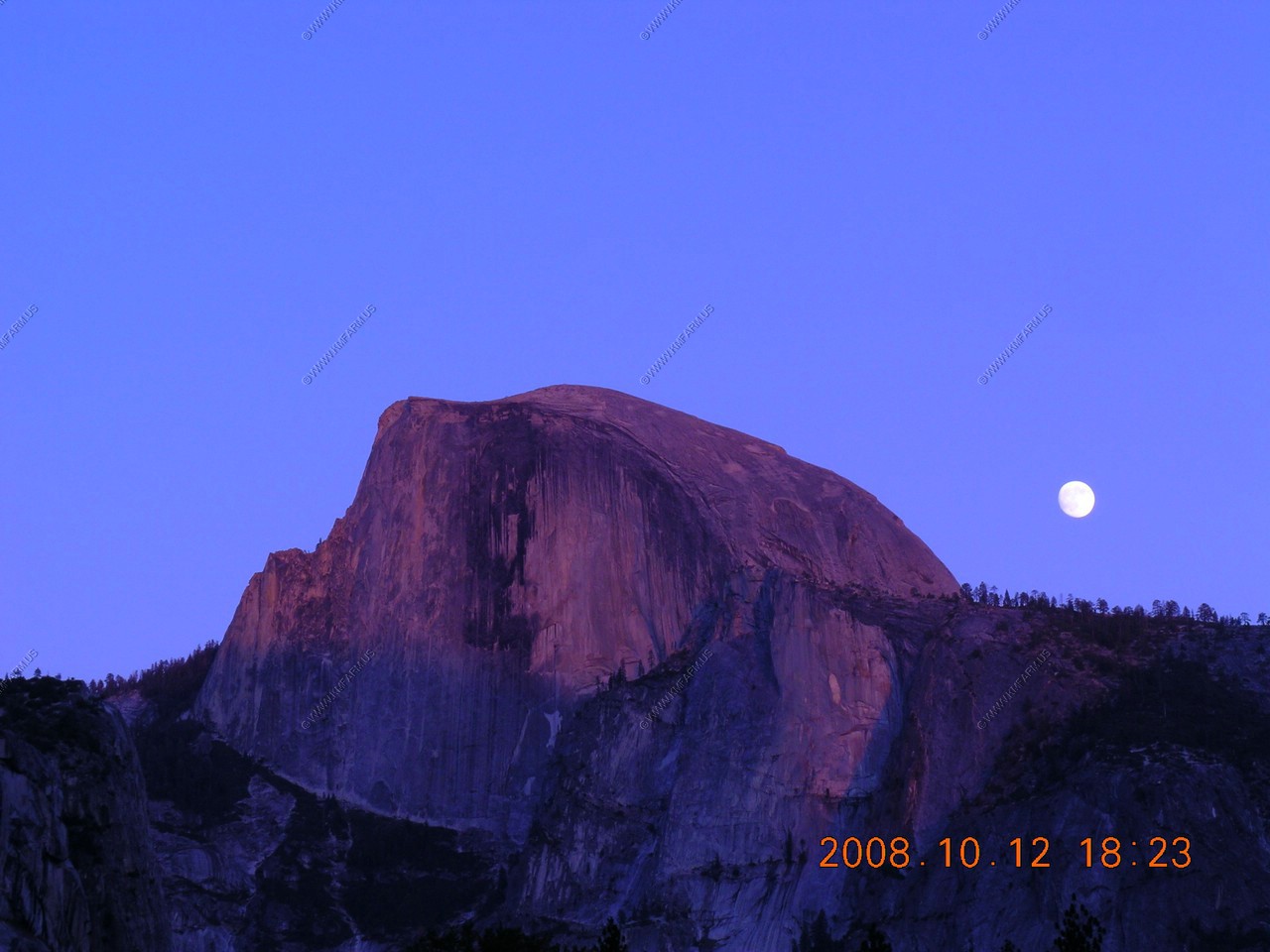
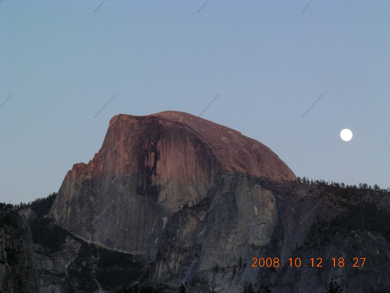
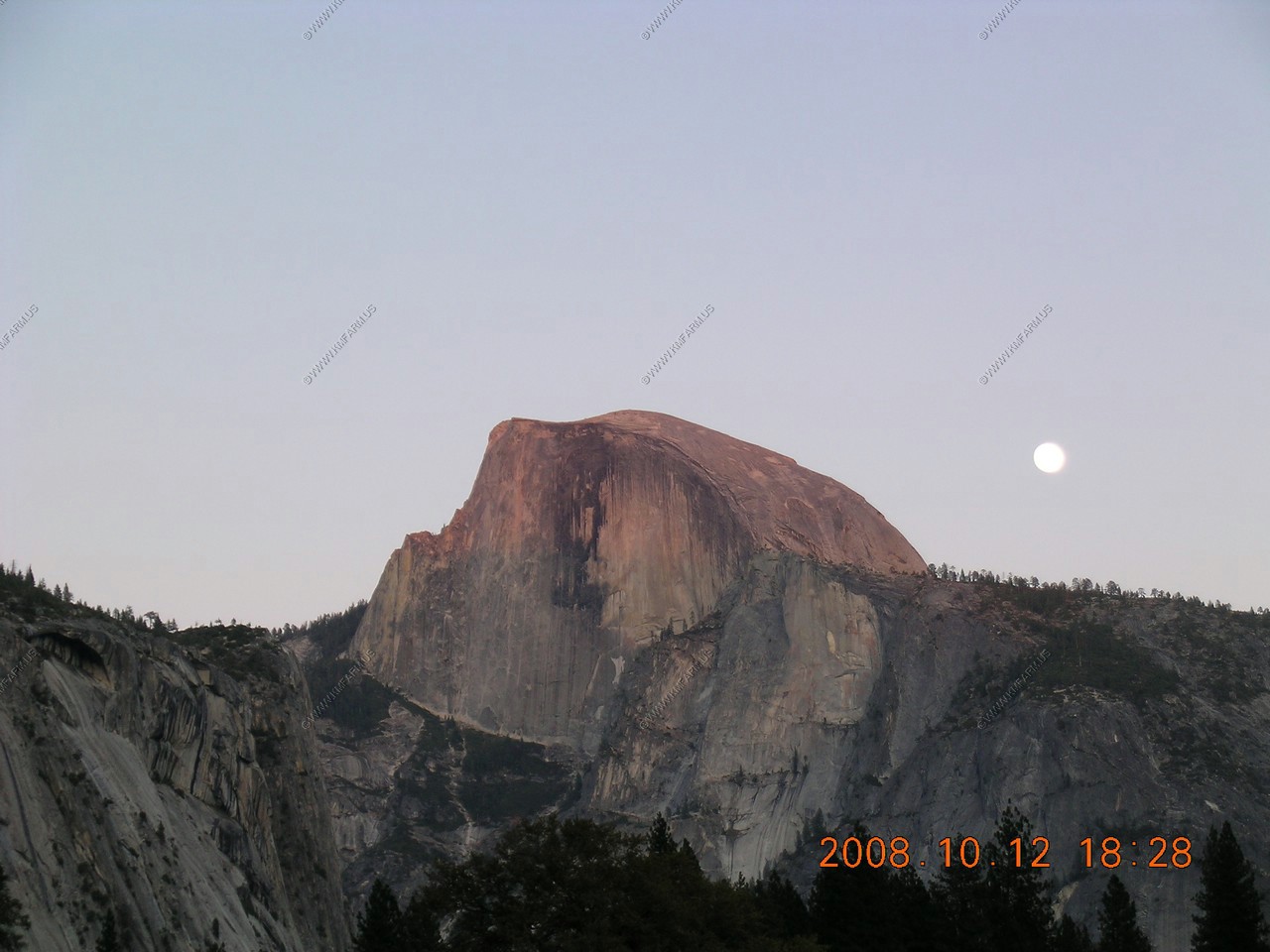
Half Dome sunset
We got off the bus and walked around the large meadow across from Yosemite Village.
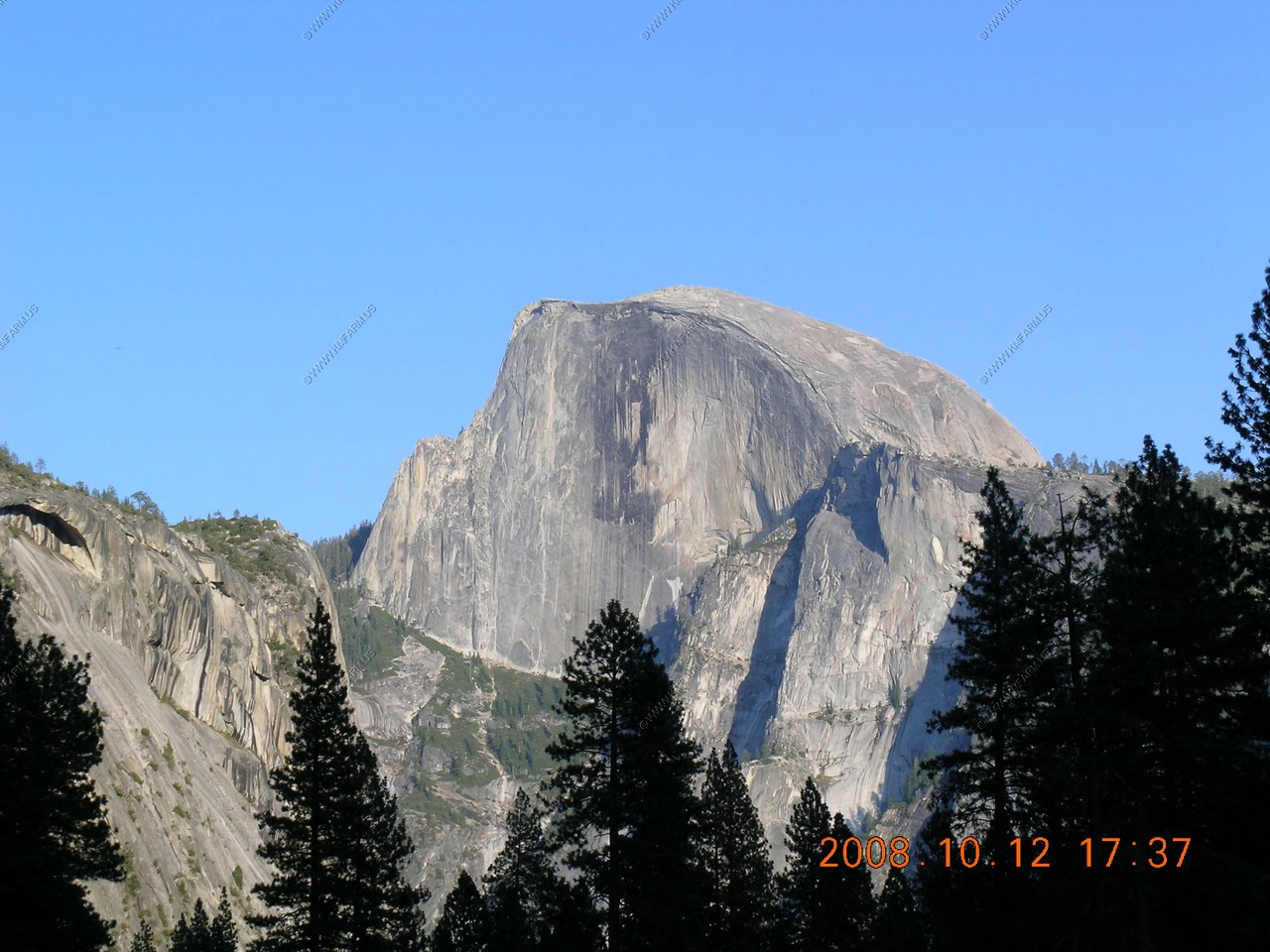

Looking at Half Dome at sunset from Sentinel Bridge (El. 3,960)
We took up our sunset watching position in a large meadow across from Yosemite Village. Did not have a tripod but a large log allowed me to brace the camera.
The moon appears...
Tried different exposure times as we were watching the sunlight climb up the Dome.


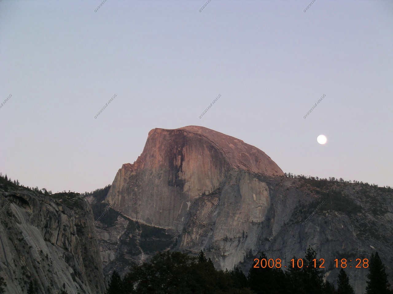
The sun has set...