Last Updated: 21-AUG-2018
A very easy day of appx. 130 miles of driving.
After our second night at Curry Village Lodge, we headed to Glacier Point after we found out the buffet breakfast at Curry Village was closed. This should have been posted the day before but they made people, including the freezing campers, show up at the restaurant only to find it closed. Poor service! They had closed the dinner buffet the night before with no warning so why not post closures for the entire week!
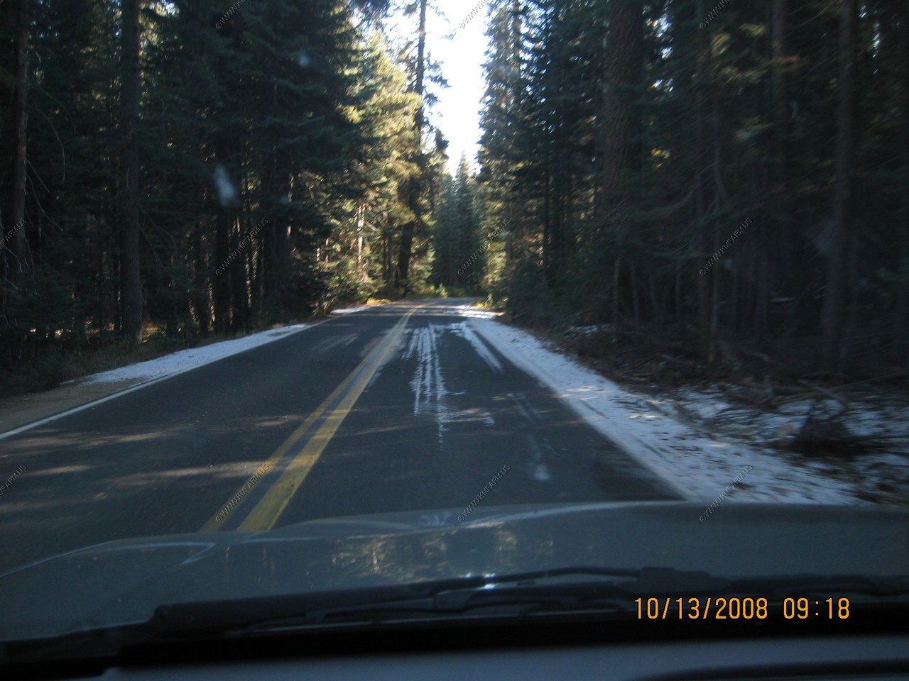
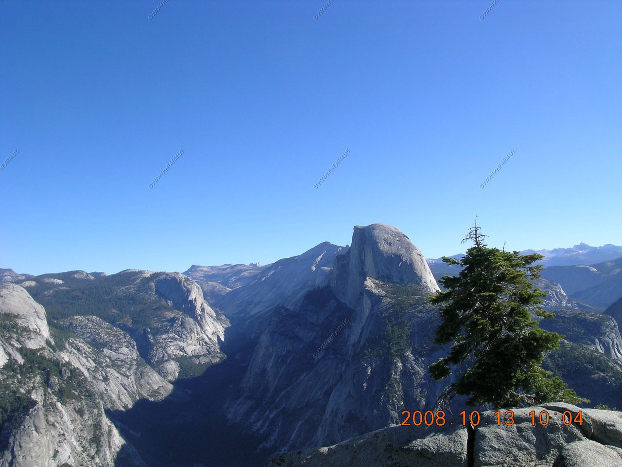
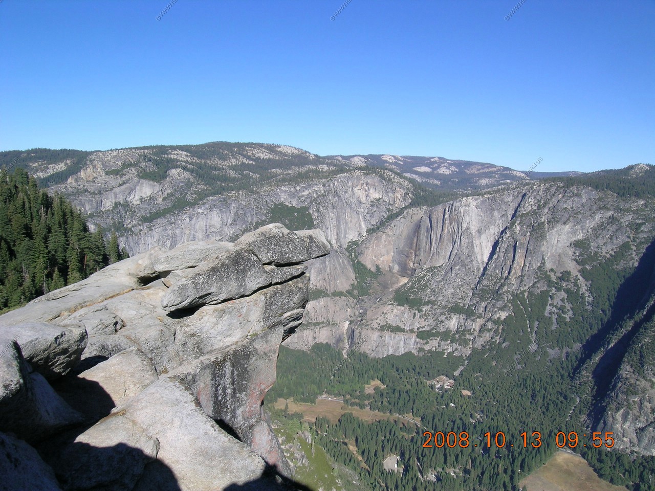
Glacier Point road was closed the day we entered the park due to snow. It was uncrowded on Monday morning and clear but cold! You can see Yosemite Valley from the overlook.
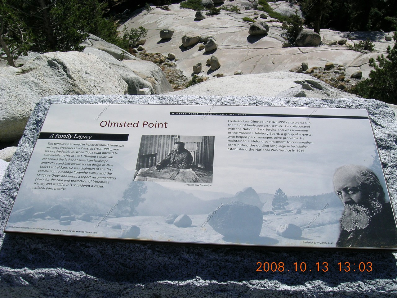
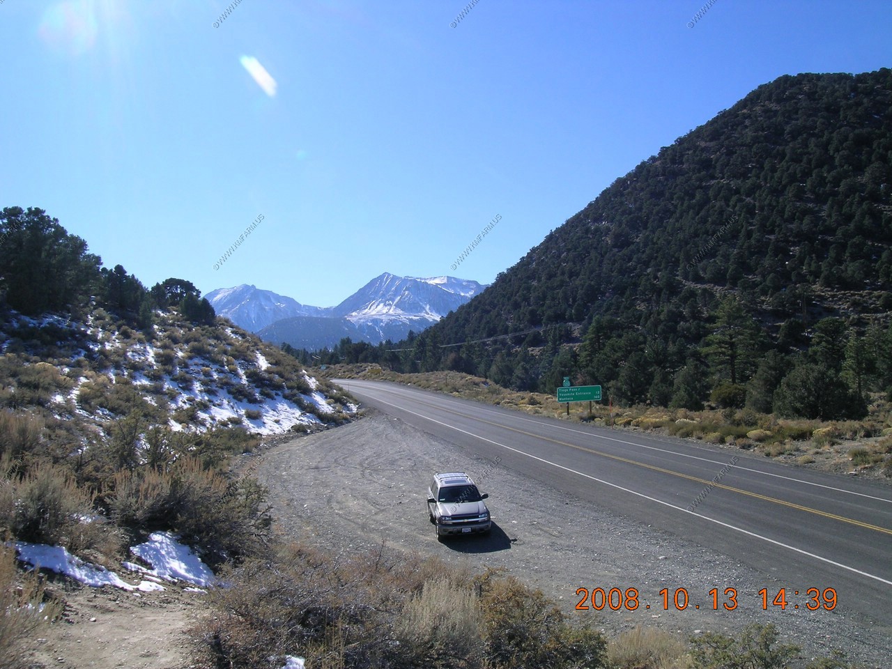
Then we headed to Tioga Pass which takes you across to the east side of the Sierra Nevadas. We had lunch at Olmsted Point, which was windy and cold. At 9,945 feet, snow, which can reach 30 feet in depth, closes the pass 6-9 months per year.
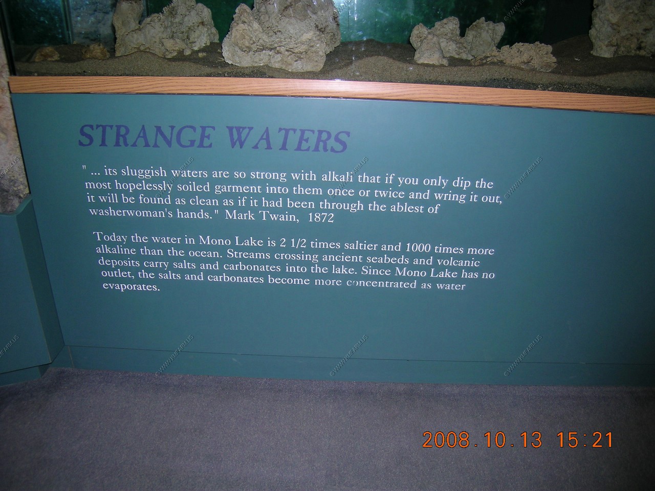
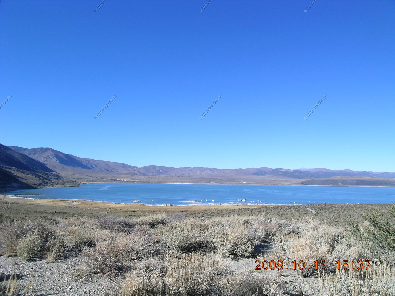
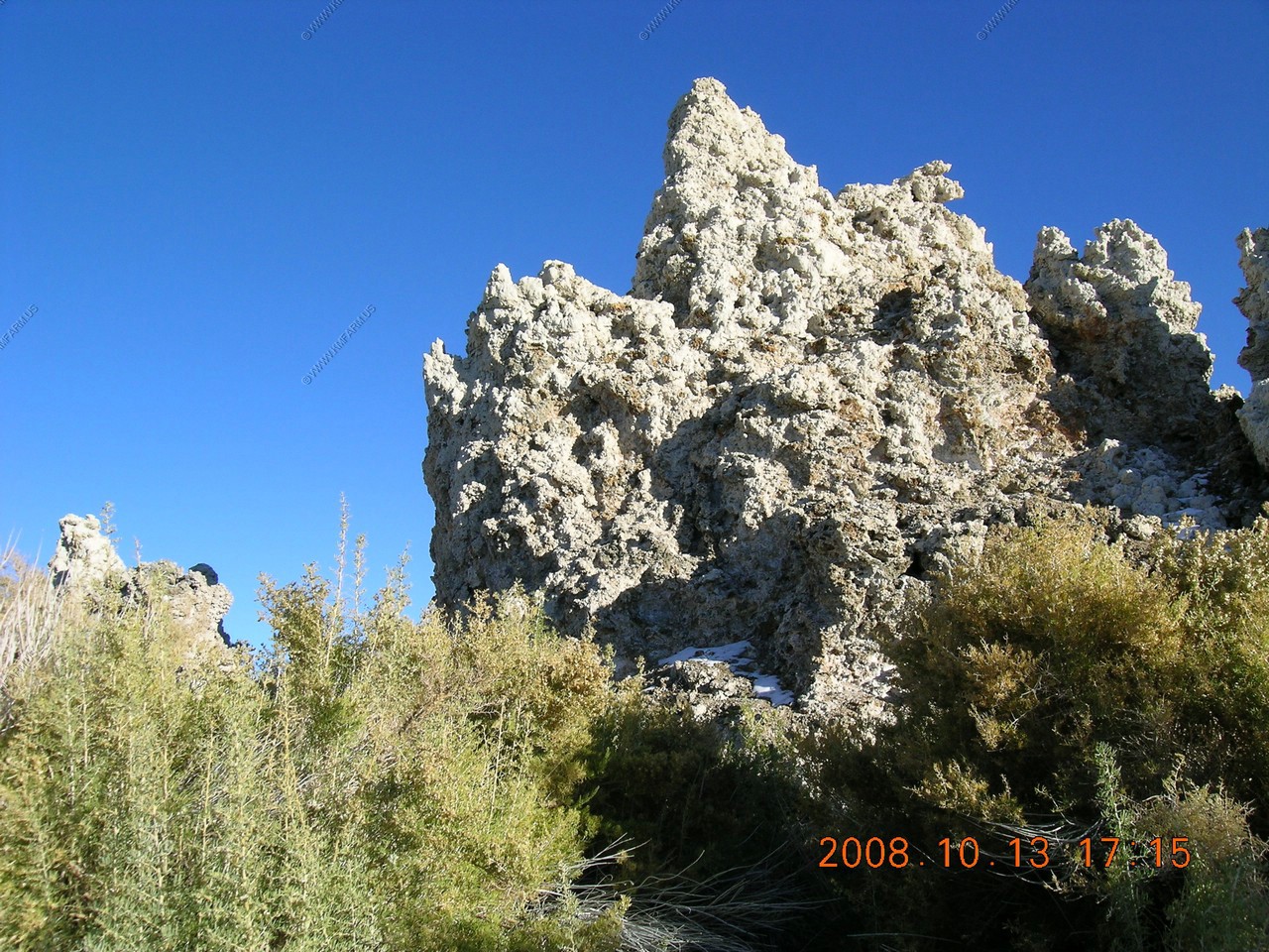
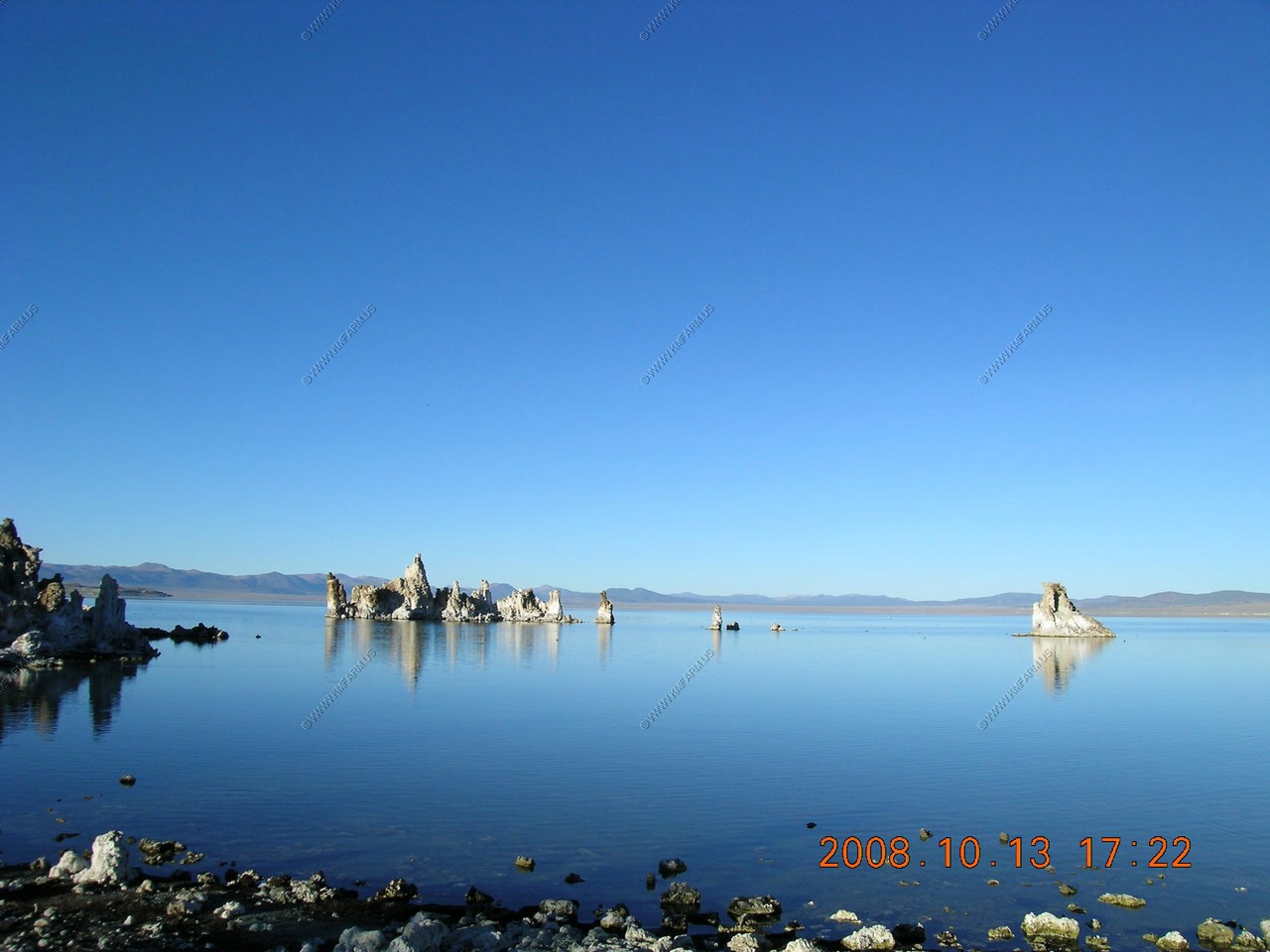
We spent 2 nights at the Lake View Lodge in Lee Vining, which is convenient to both Bodie Ghost town & Mono Lake. Mono Lake, a large, shallow, alkaline lake that is impressive enough from a distance but close up has added interest in the form of unusual tufa (calcium carbonate) pinnacles, deposited over thousands of years around underwater springs and now left exposed because the lake level has fallen in recent times. Mono Lake and its surrounding watershed encompass a unique region in California. Sagebrush, Jeffrey pines, volcanoes, tufa towers, gulls, grebes, brine shrimp, alkali flies, freshwater streams, and alkaline waters comprise an unlikely world at the transition between the Sierra Nevada Mountains and the Great Basin Desert.
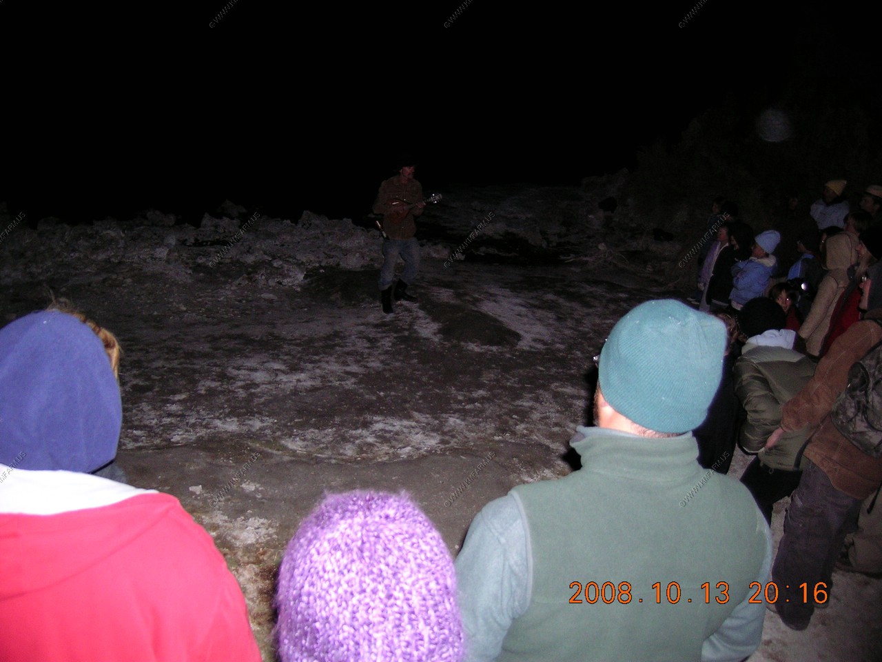
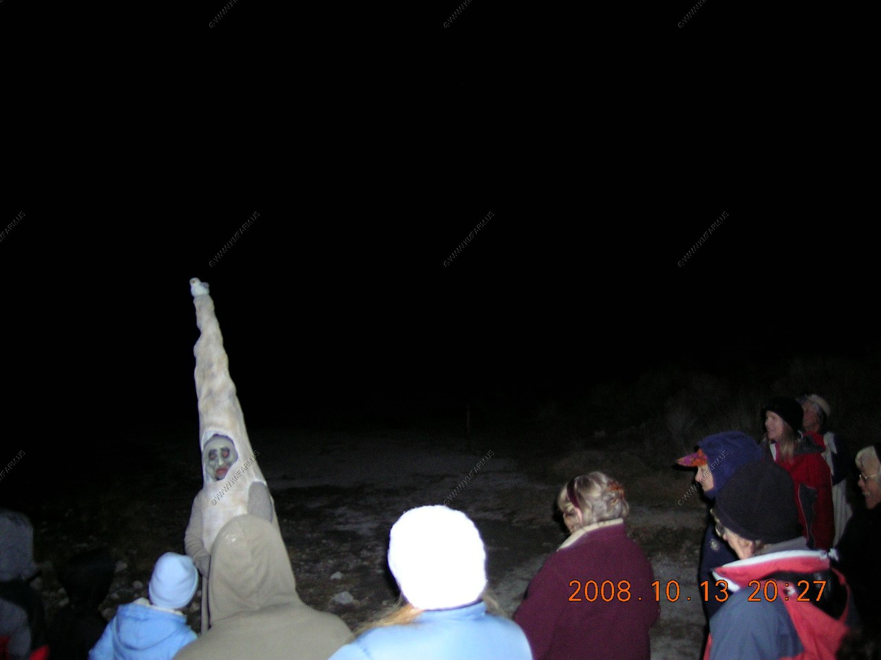
Mono Lake had a Halloween walk the first night for the full moon. We decided to attend and we were amused by the show. They had costumed locals dressed as alkali flies, brine shrimp, Lee Vining, witches and tufa towers. It was a nice community and they welcomed us with hot cider. We were impressed with the Eastern Sierras!
Lake View Lodge--Lee Vining for 2 nights
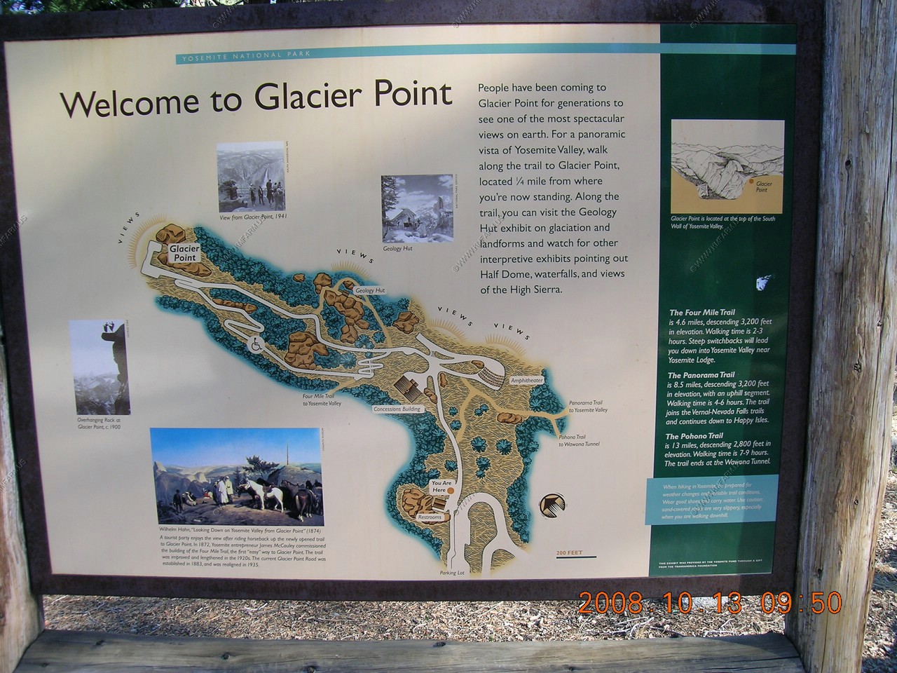
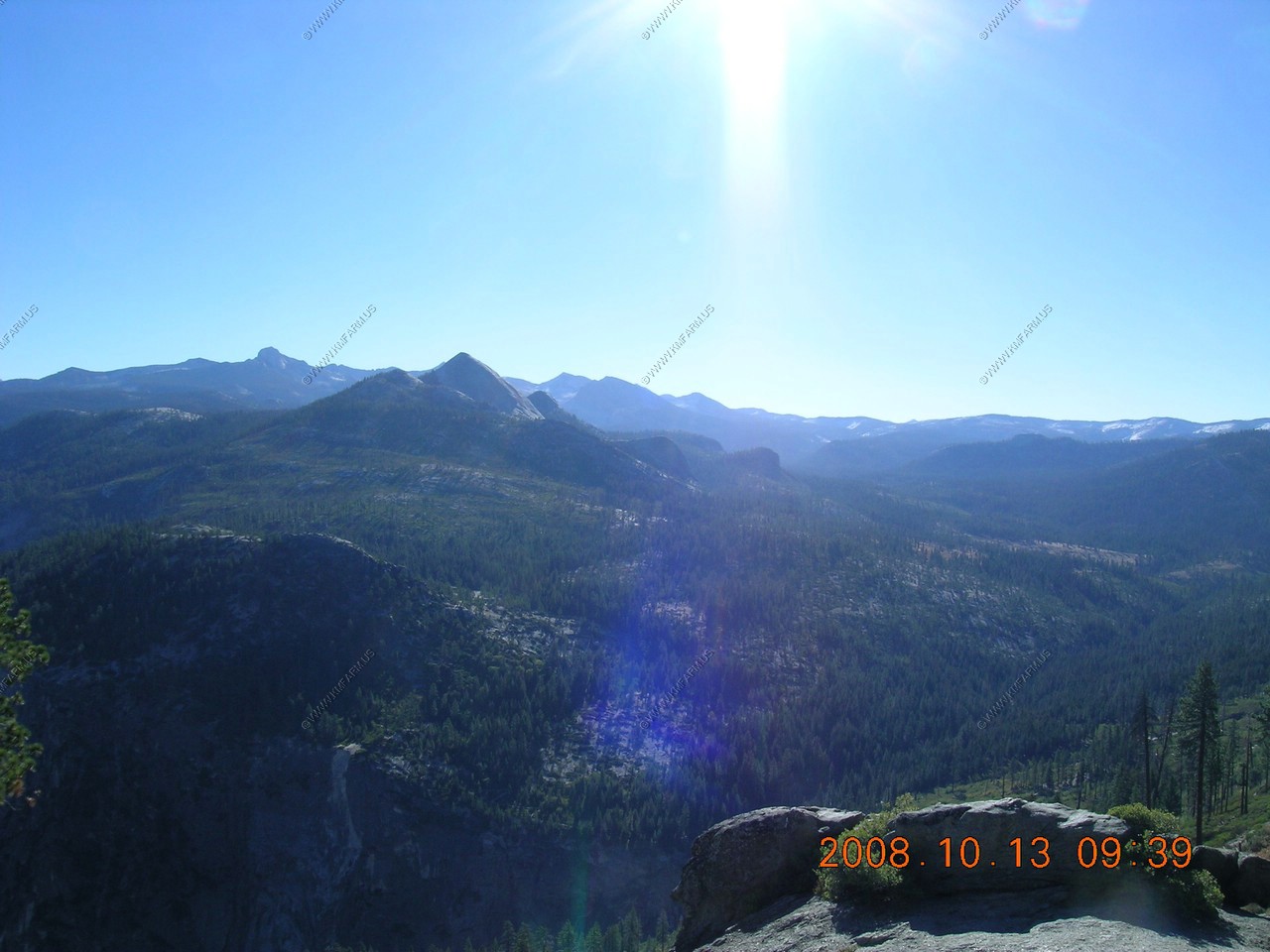
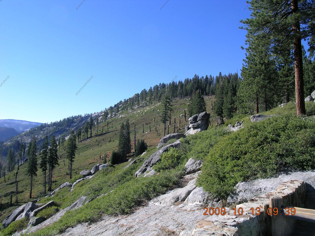
Glacier Point
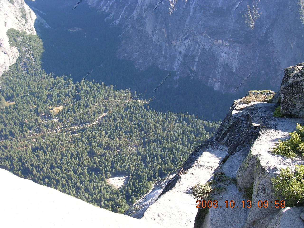
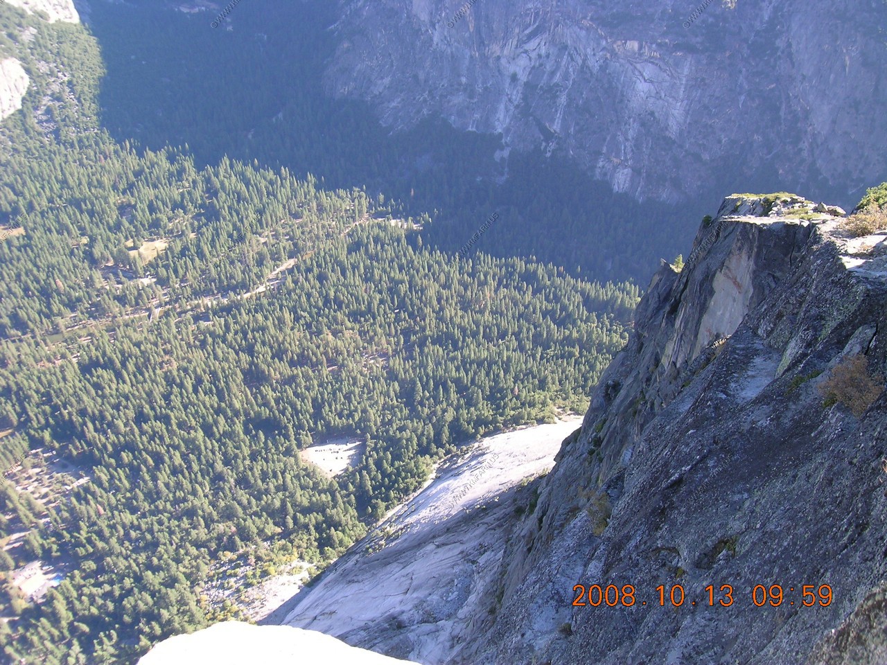
We made it. The road up still had some snow / ice in the shade. We looked down into Yosemite Valley from appx. 3,300 feet.
Some 3,000 foot drop offs along the road

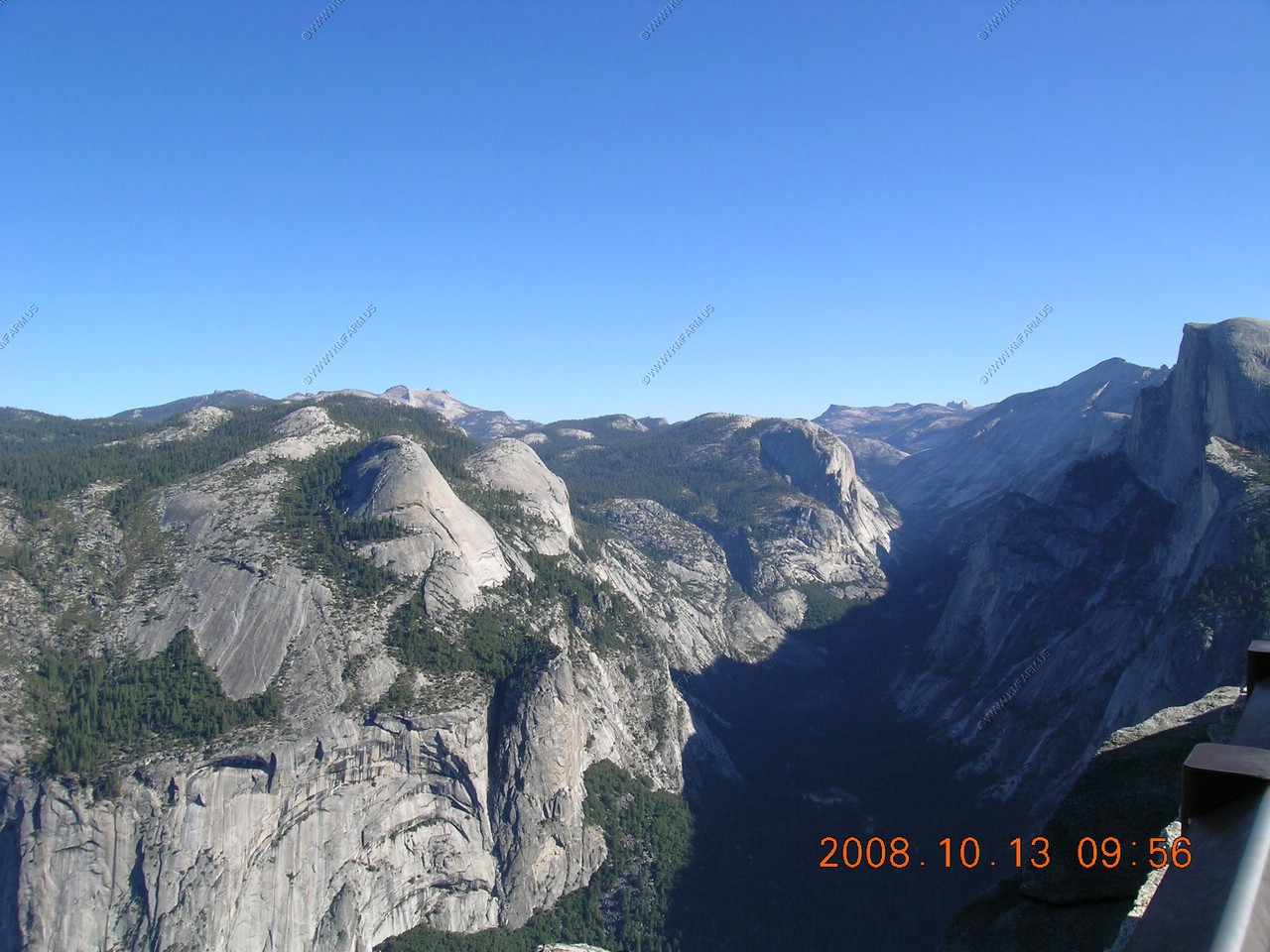
Looking across at North Dome (El. 7,525)
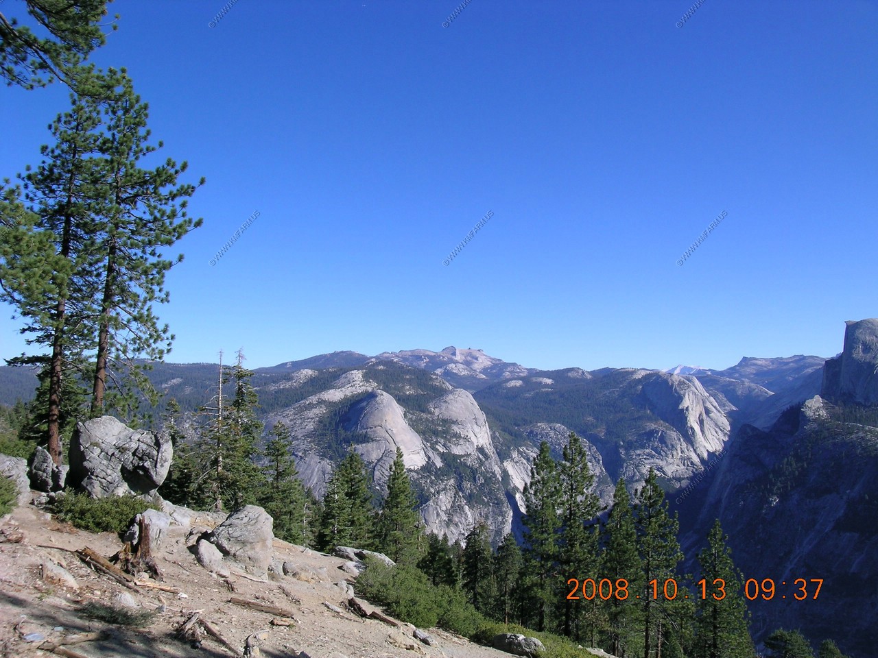
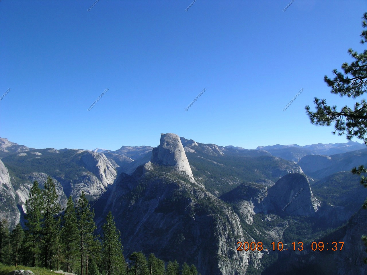
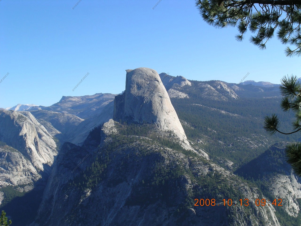
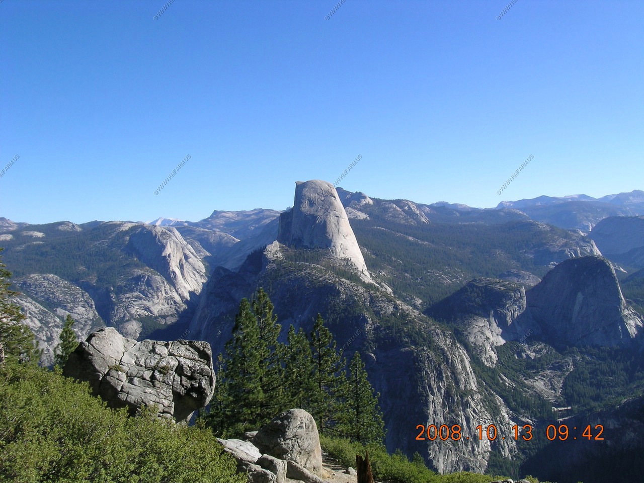
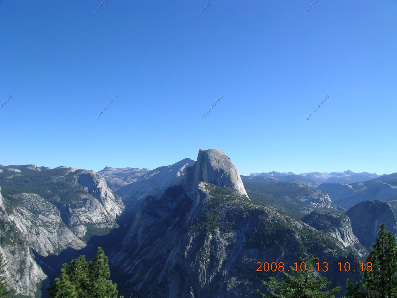
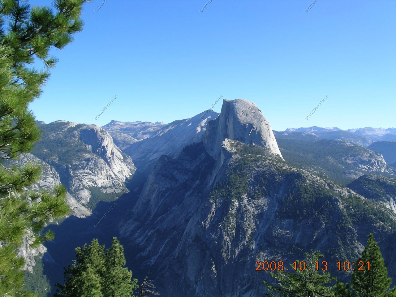
Looking across at Half Dome (El. 8,842)
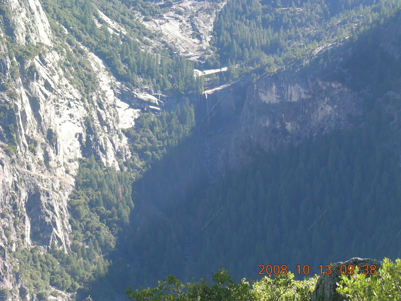
Looking down to Vernal Falls with a 317 foot drop (El. 5,020)
Mary fighting the crowds

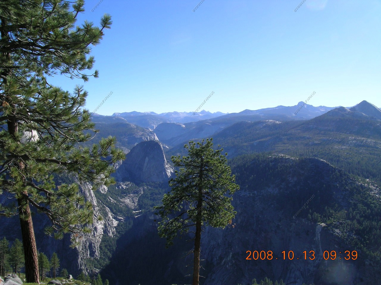
The Clark Range
Melting snow from the Clark Range and the Sierra crest swells the Merced River and Vernal and Nevada Falls in spring and early summer. The range is named for Galen Clark (1814-1910), Yosemite's first guardian.
Giant Stairway - Vernal and Nevada Falls did not exist until after the Ice Age. Picture the Merced River descending a gradually sloping streambed. Glaciers from the high Sierra began advancing along existing river valleys. At fracture planes (the present cliff-step), where rockbed that was already weakest, ice quarried the finely cracks stone. Only the hardest rock remains - sheer cliffs where the river drops 594 feet at Nevada Fall, then 317 feet at Vernal Fall.
Imagine the glaciers' weight and power: the largest glacier, one million years ago, buried Liberty Cap (The dome to the left of Nevada Fall) beneath a thousand feet of ice.
Liberty Cap (El. 7,076) Between the trees. And looking up the Merced River.

Looking across at Half Dome (El. 8,842)
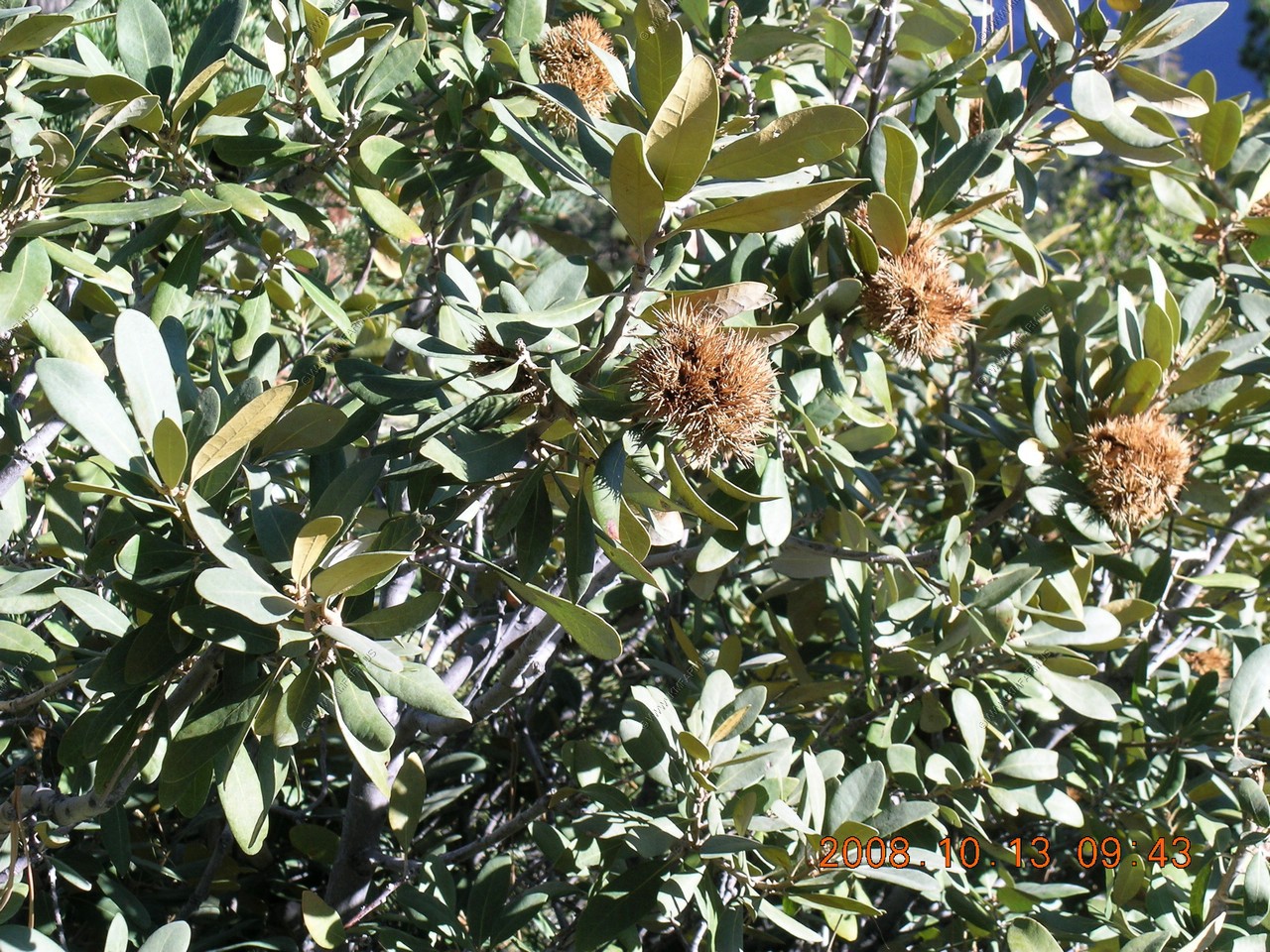
Chestnut Trees
Years ago you were allowed to walk out onto the overhanging rocks. This is where the chicken was dropped from, then would walk back up the trail for the daily show.
Looking up Tenaya Canyon where he hiked the day before to Mirror Lake
Looking down on the House Keeping Camp on the tree side of the river bend. The Ahwahnee is above the 10 in the time stamp near the cliff bottom.
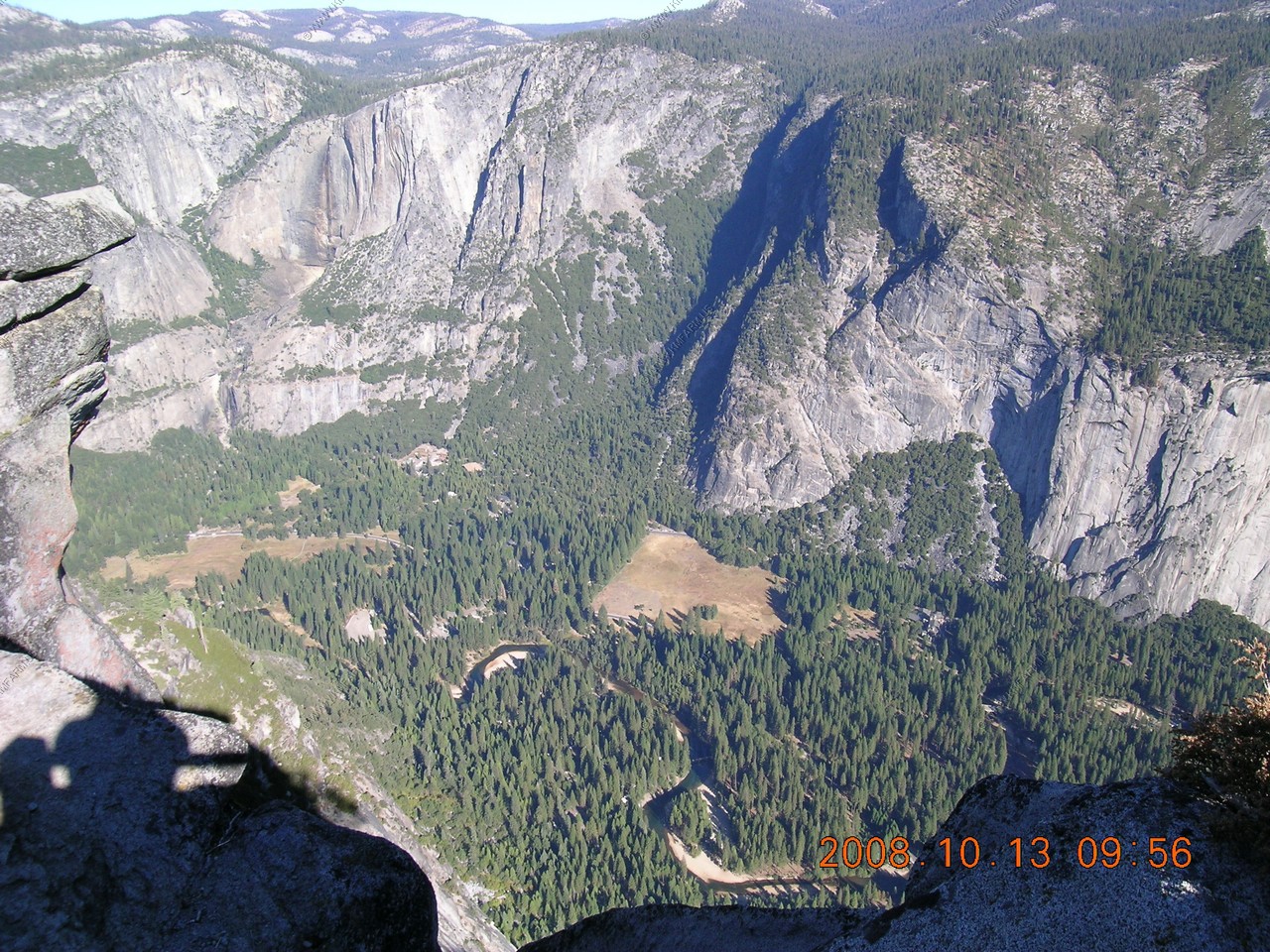
Looking down on Stoneman Meadow.
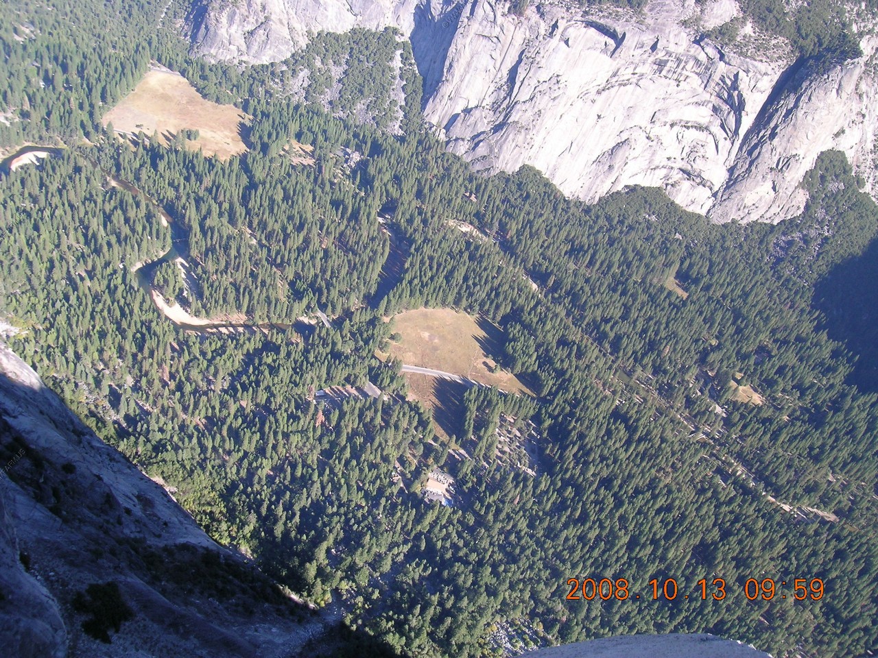
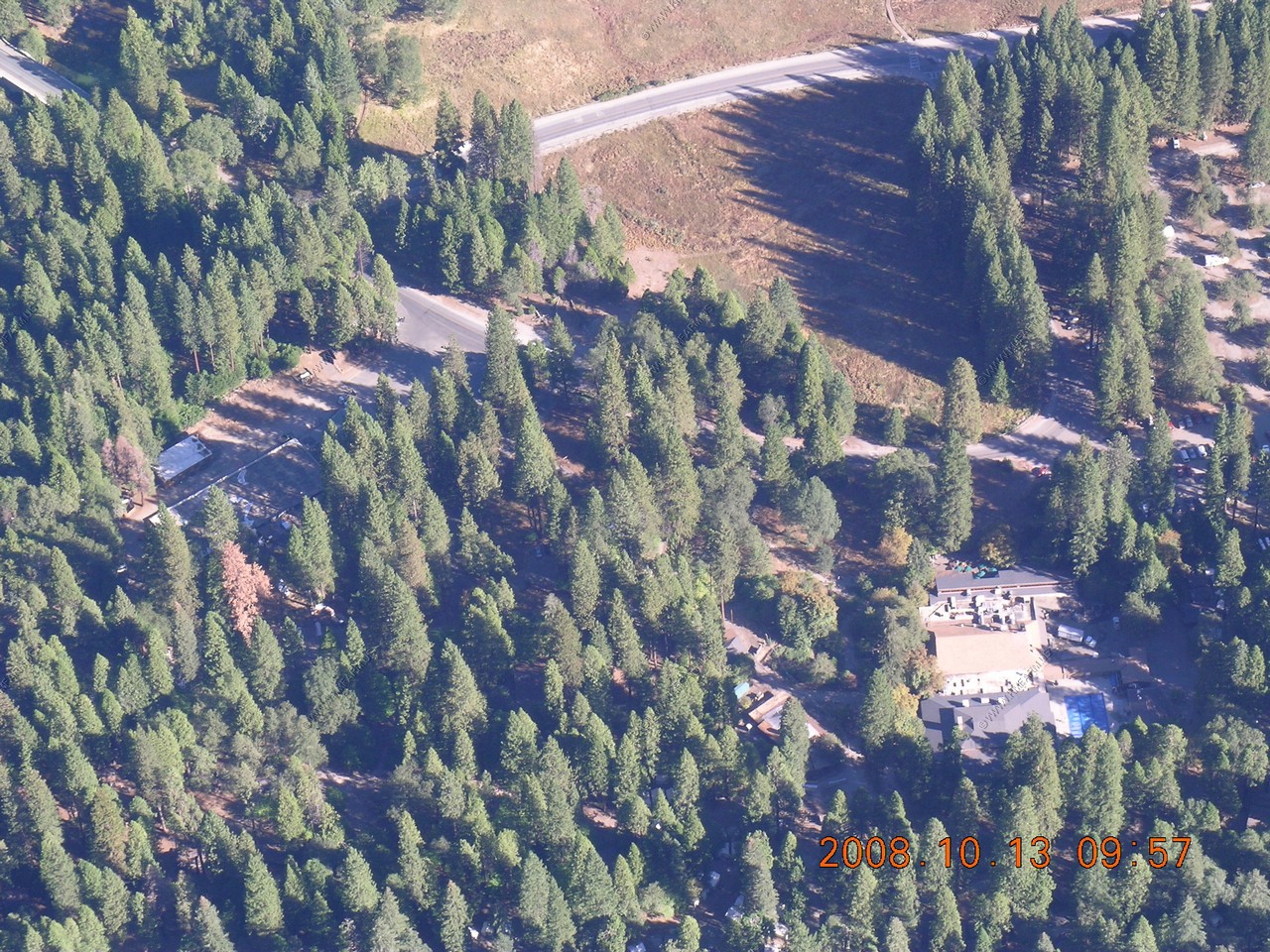
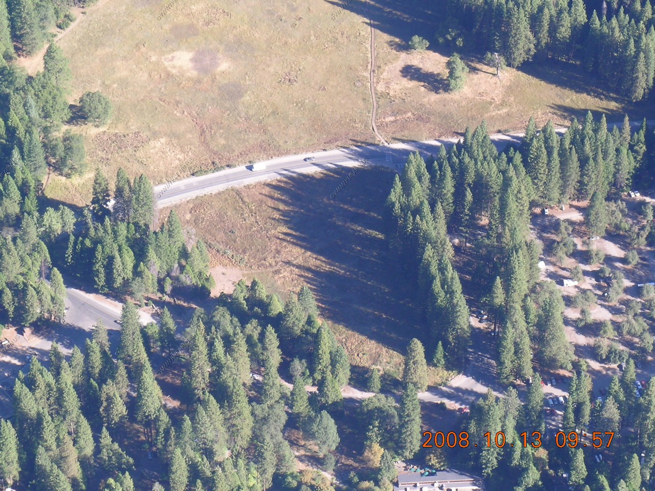
Zoomed in on the Curry Village pool area. We stayed in this area the last two nights.
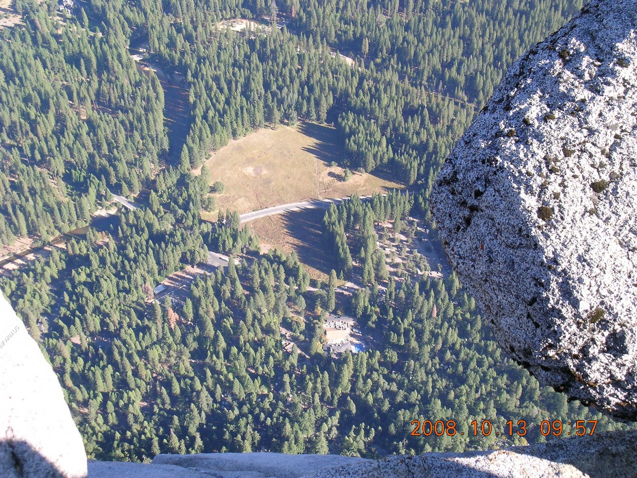
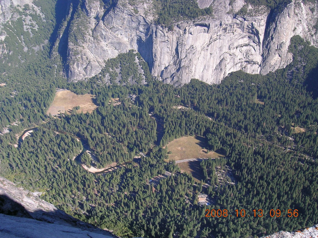
Looking down on Glacier Point Vista and the boardwalk in Stoneman Meadow
Looking down at the slide area that rained terror upon Curry Village only a few days ago. The large parking lot is the Curry Village parking area.

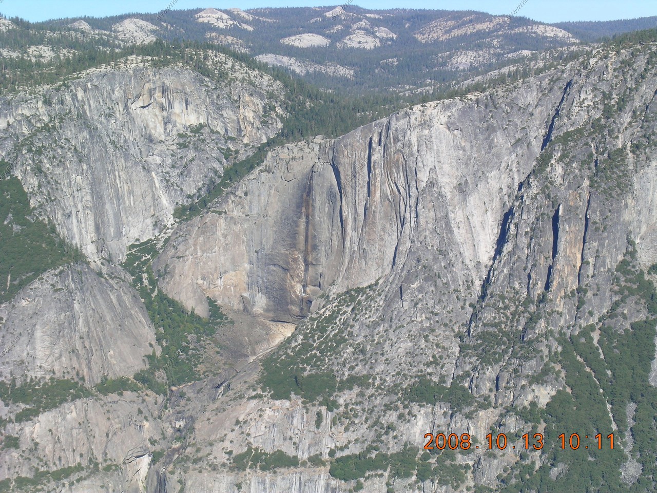
Upper Yosemite Falls (dry) 1,430 foot drop
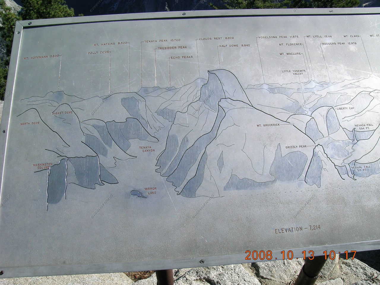
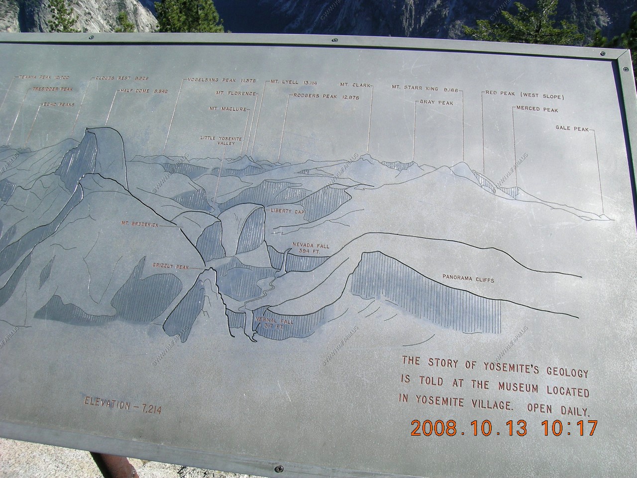
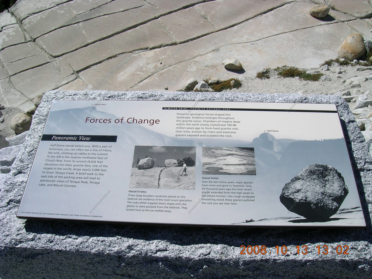
Peaks and features visible from the overlook
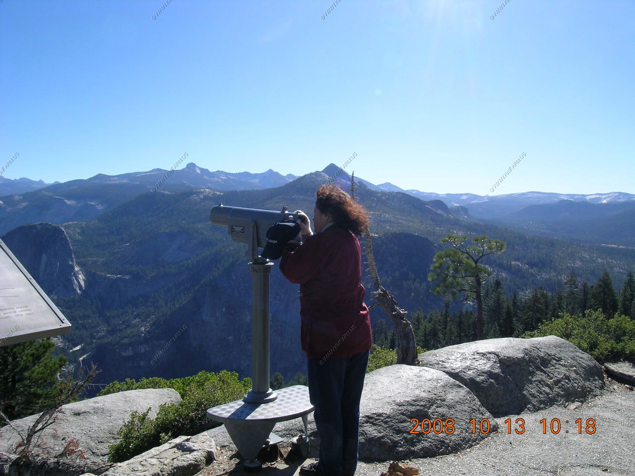
Mary looking at the free scope
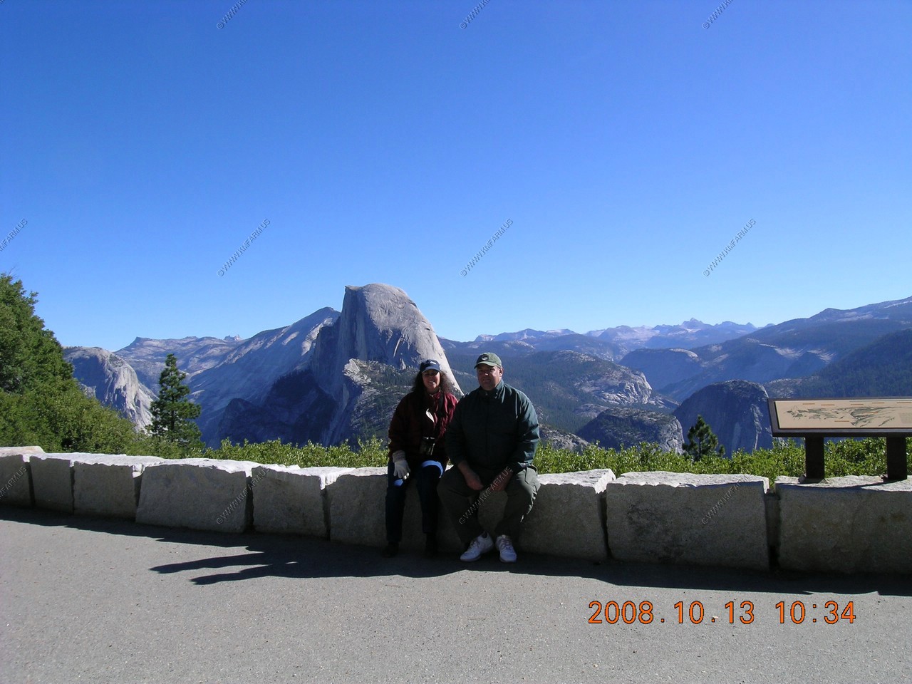
Mary & Ken dressed like its winter !
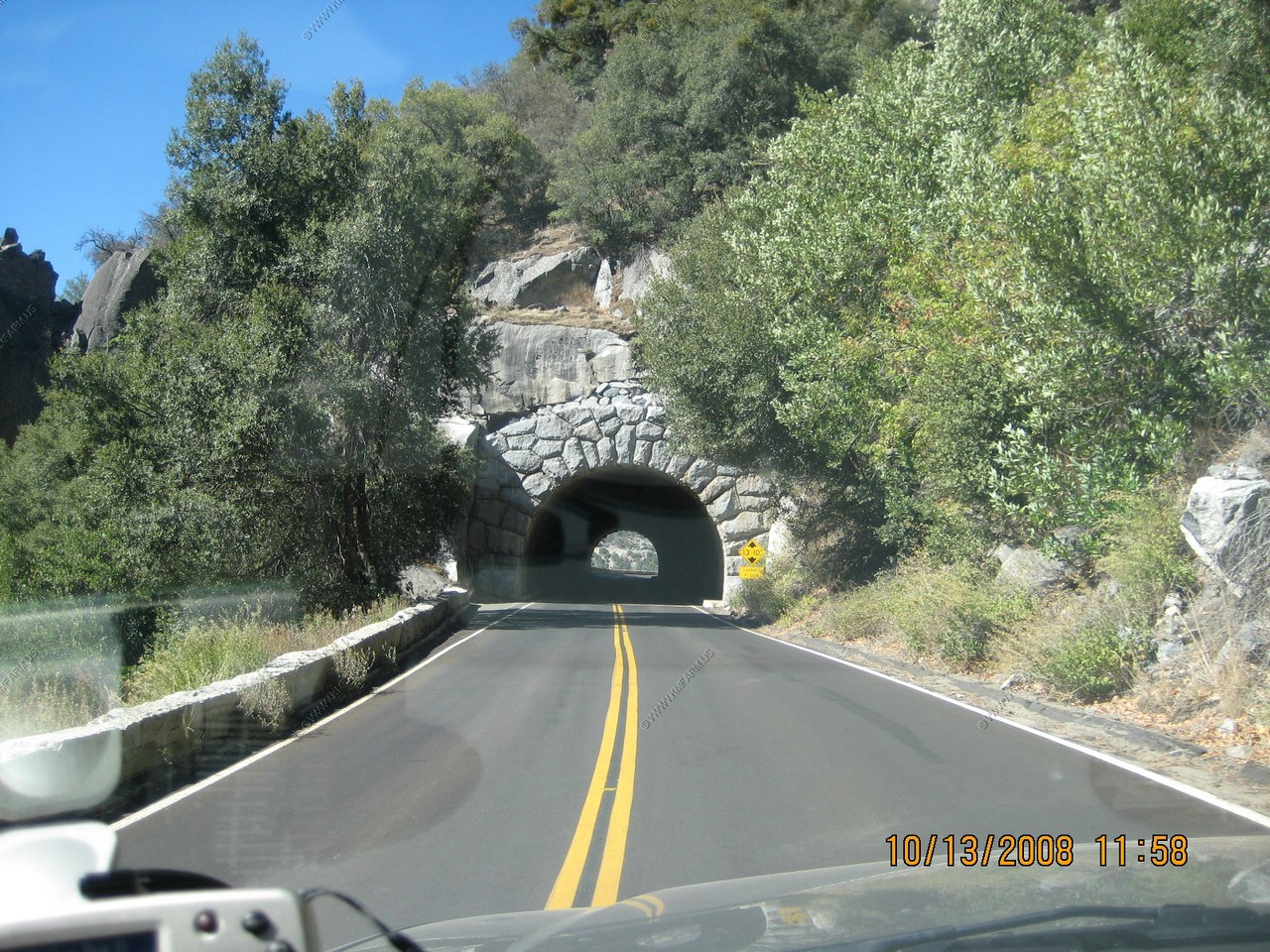
Tunnel along Big Flat Road
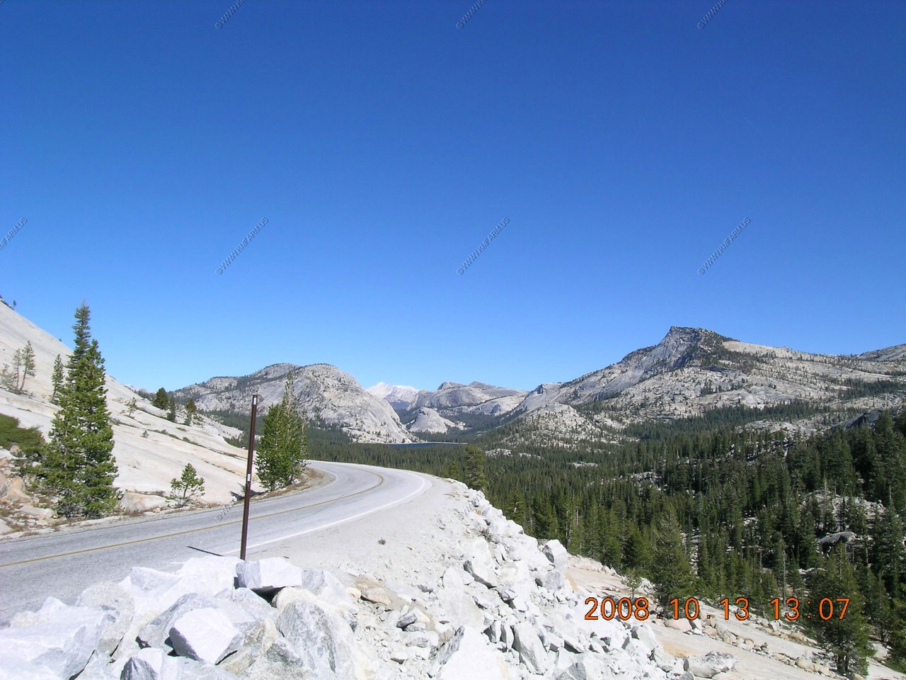
Tioga Pass: California's highest paved road at 9,646 feet
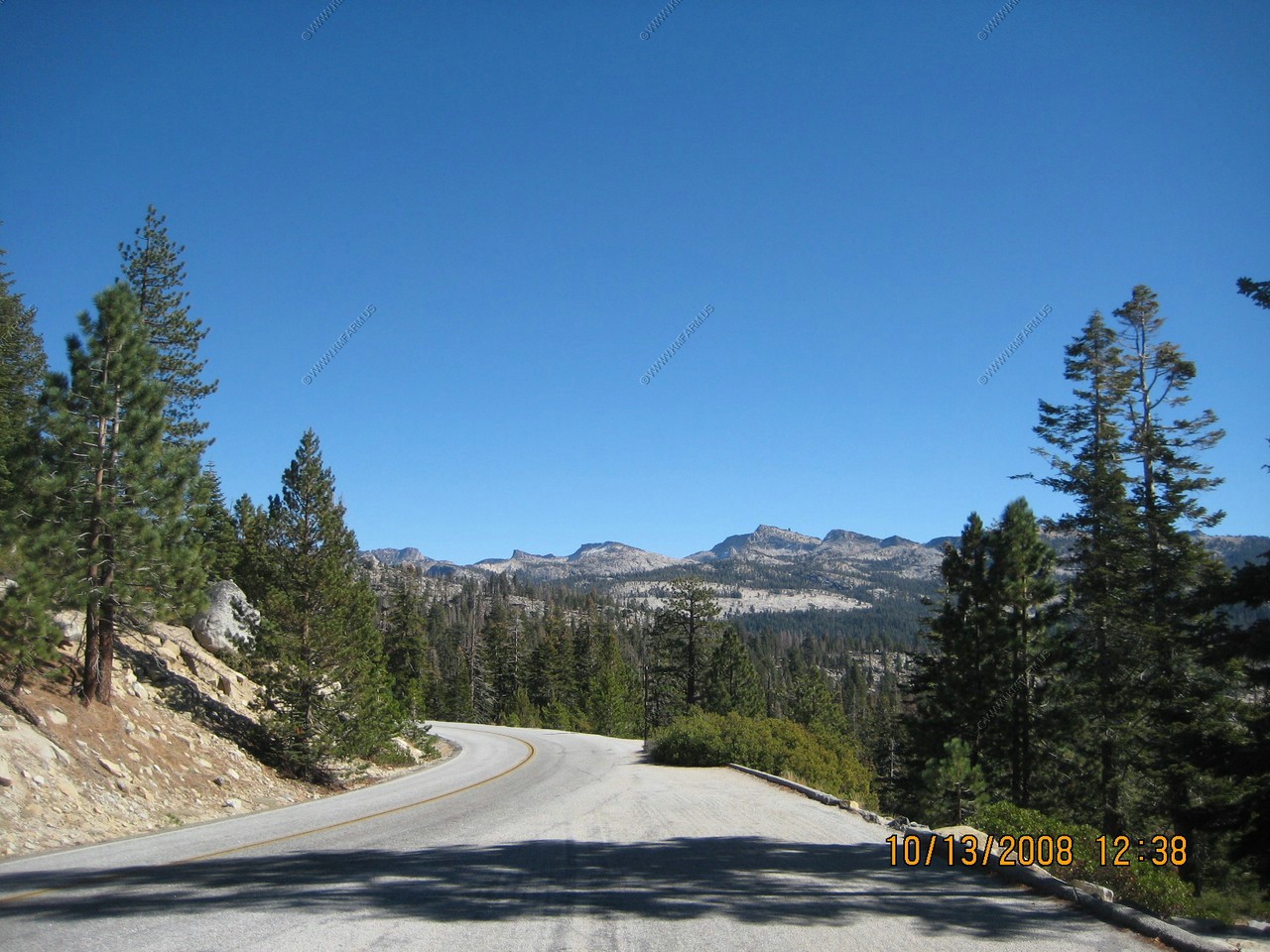
We had to drive back down into Yosemite Valley and then head North West on Big Flat Road to Tioga Road.
This was a big decision point on where we were going. We had no reservations for an entire week so we really were not sure where we were going to end up. Also, with the limited passes across the Sierras any crossing had major implications on the planning of the trip.
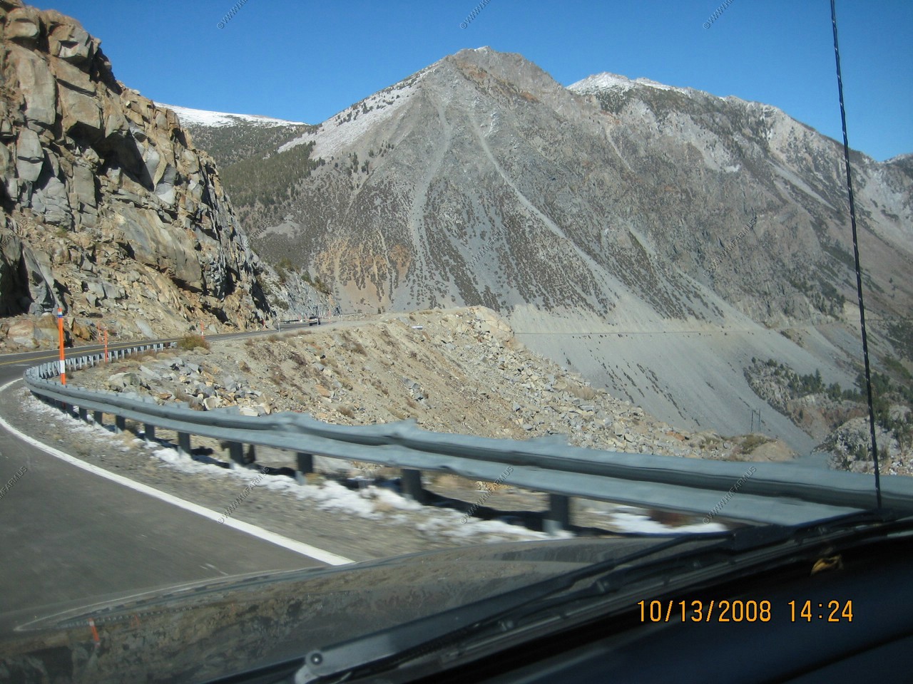
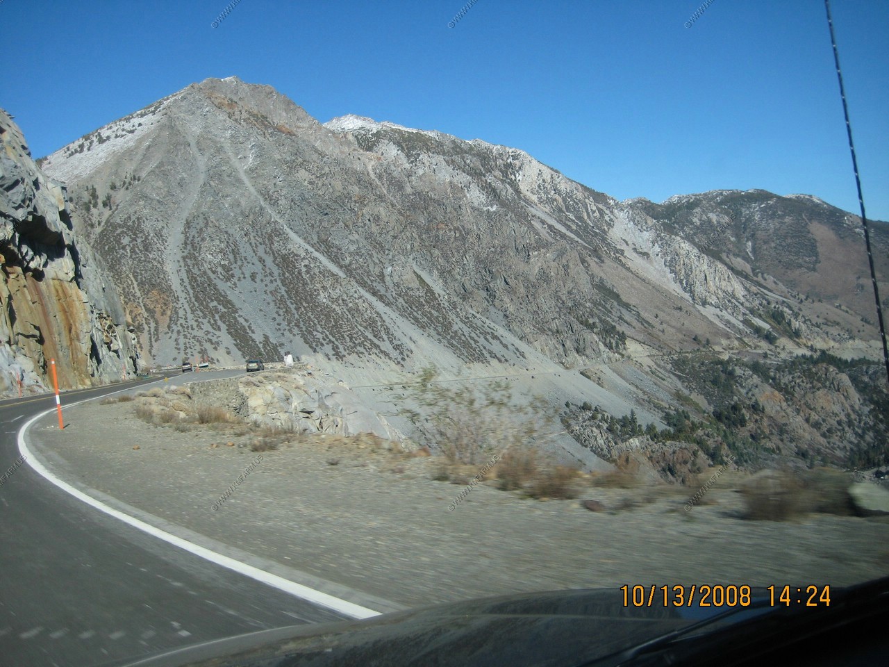
So we headed East on CA 120 crossing the pass. View of the Pass from the west side
Our first view of Half Dome from Tioga Road
We spent some time enjoying the views and had lunch at Olmsted Point. We had to generally say in the car as the tempature was in the mid 40's but the winds were gusting well over 40 mph ! Still it was an impressive stop along Tioga Road.
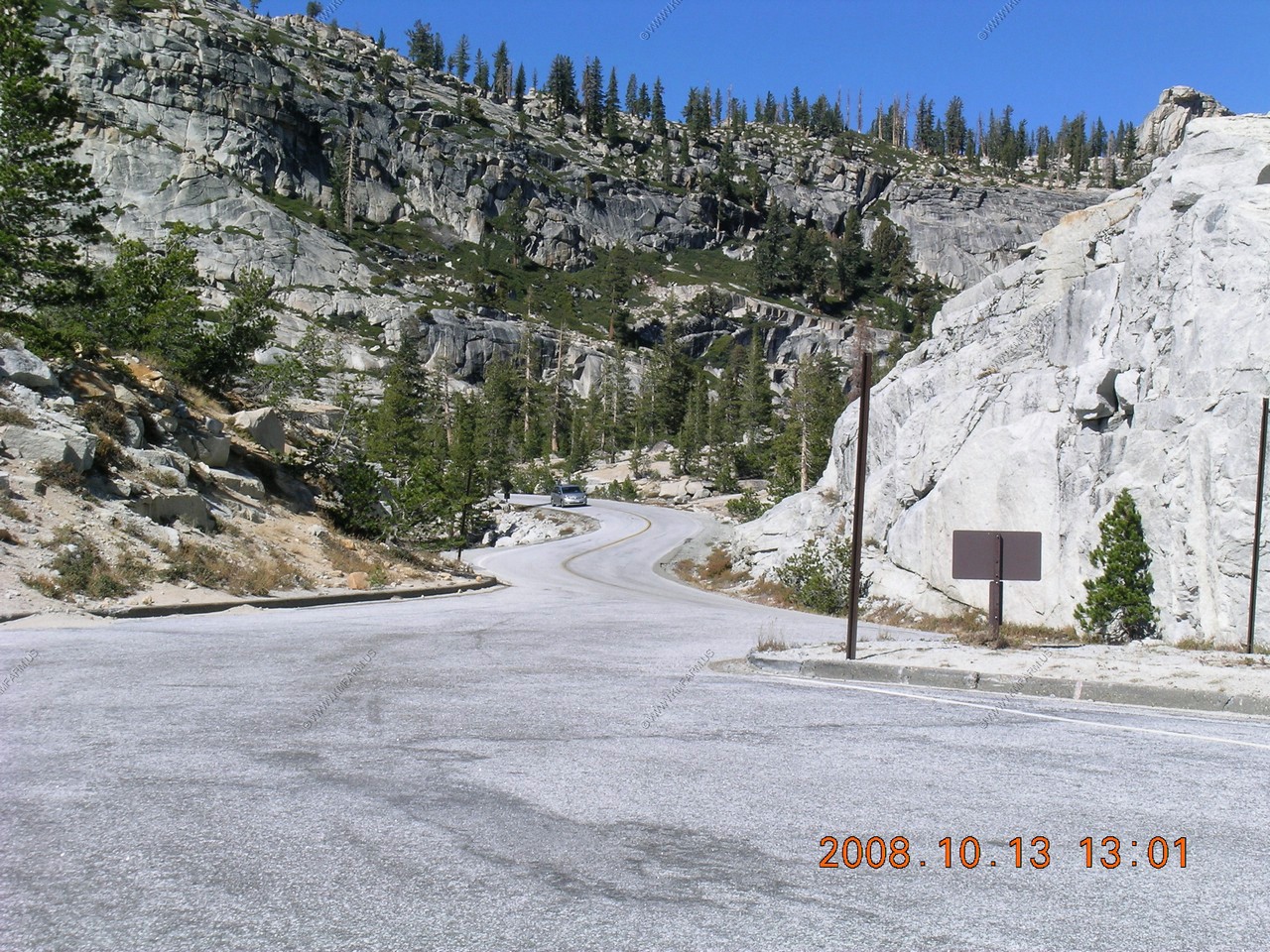
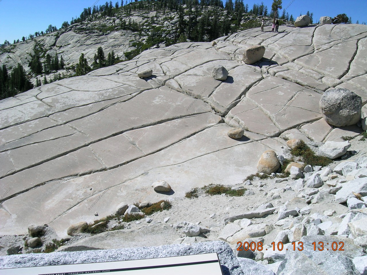
The rocks were covered with Glacier Polish.

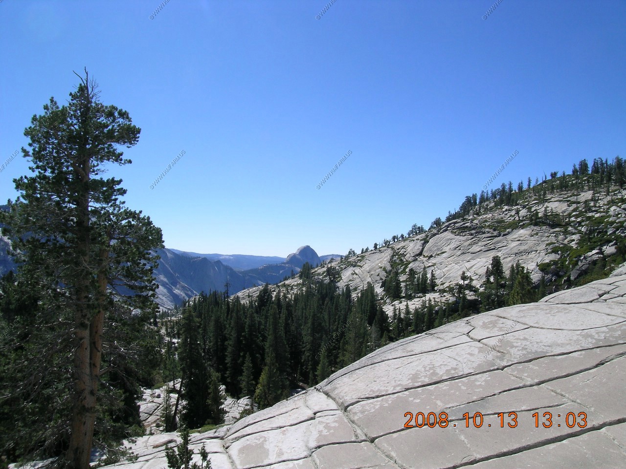
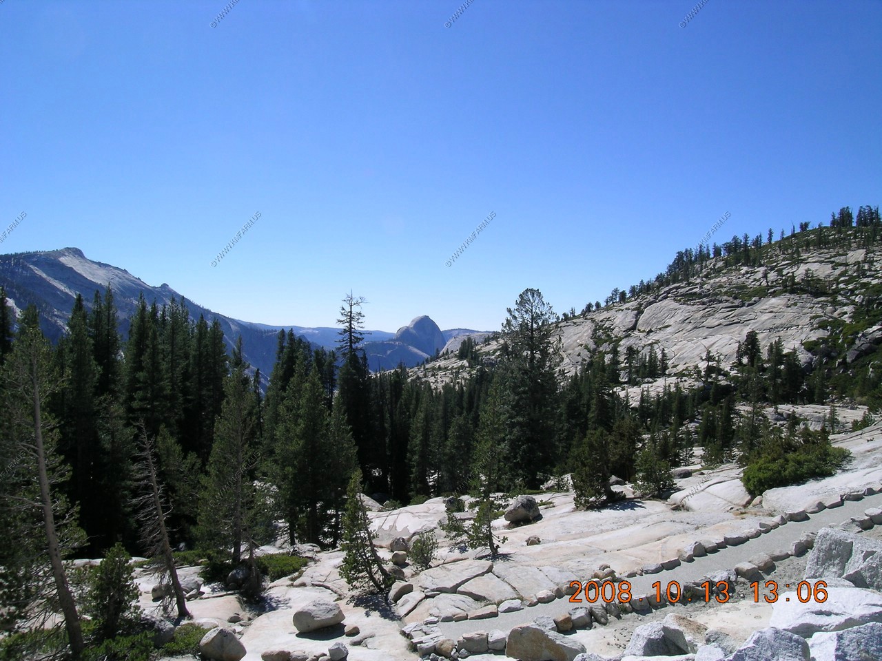
View of Half Dome appx. 6 miles away
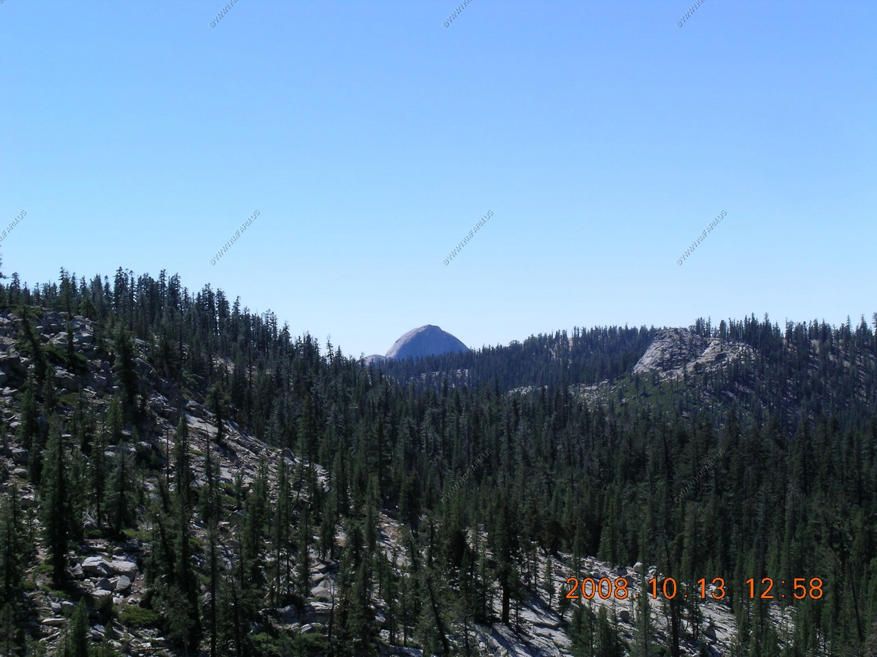
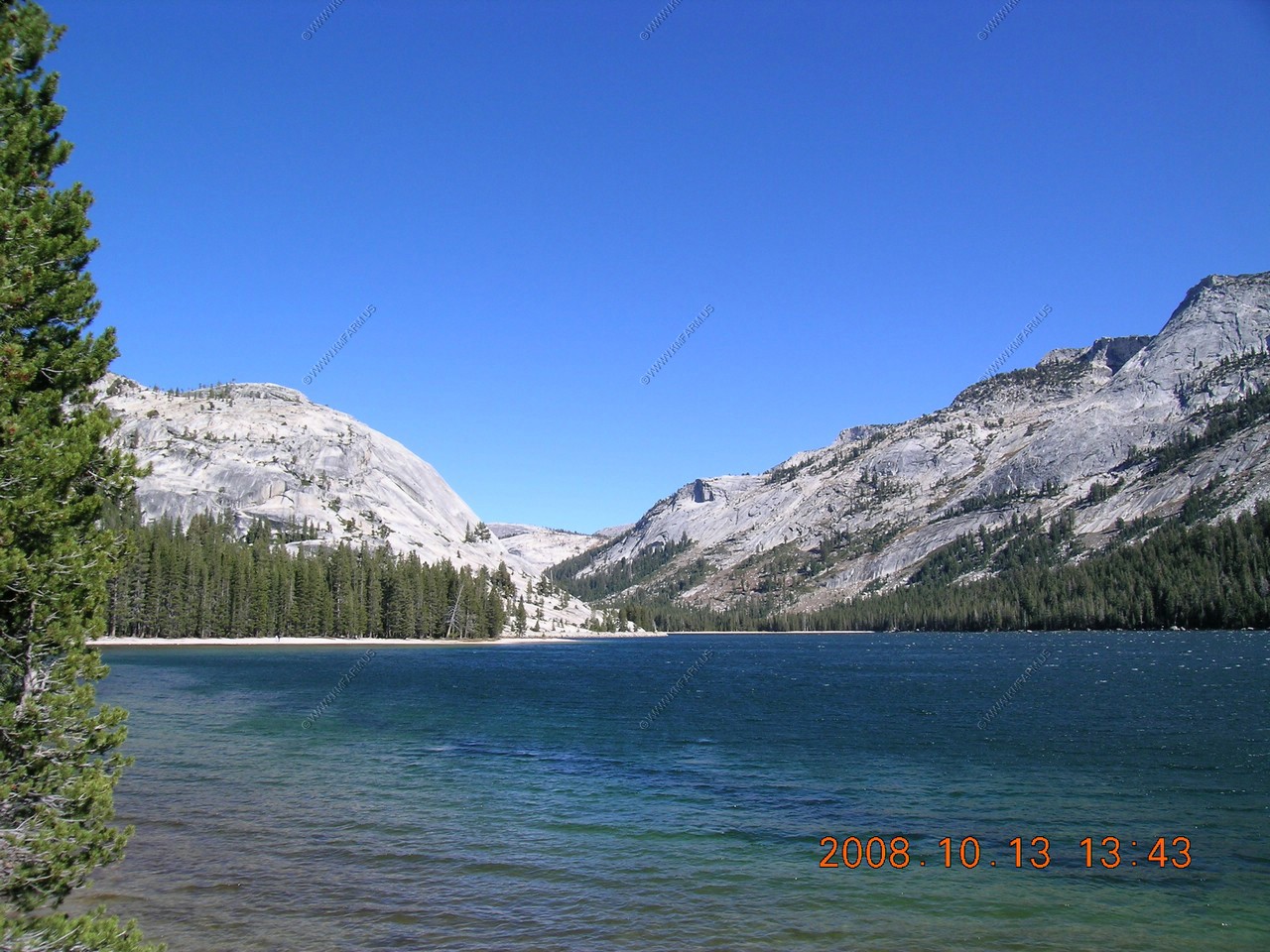
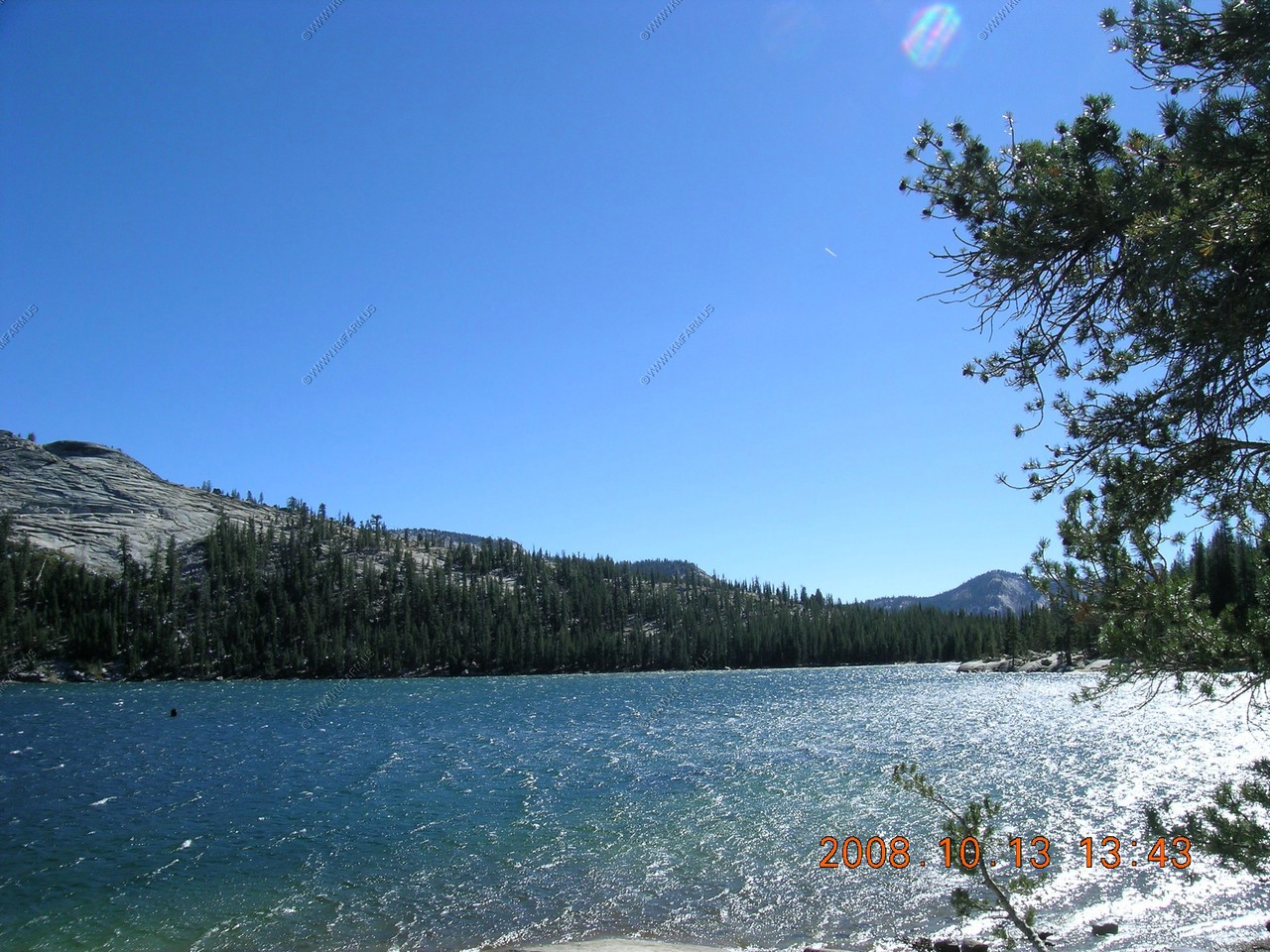
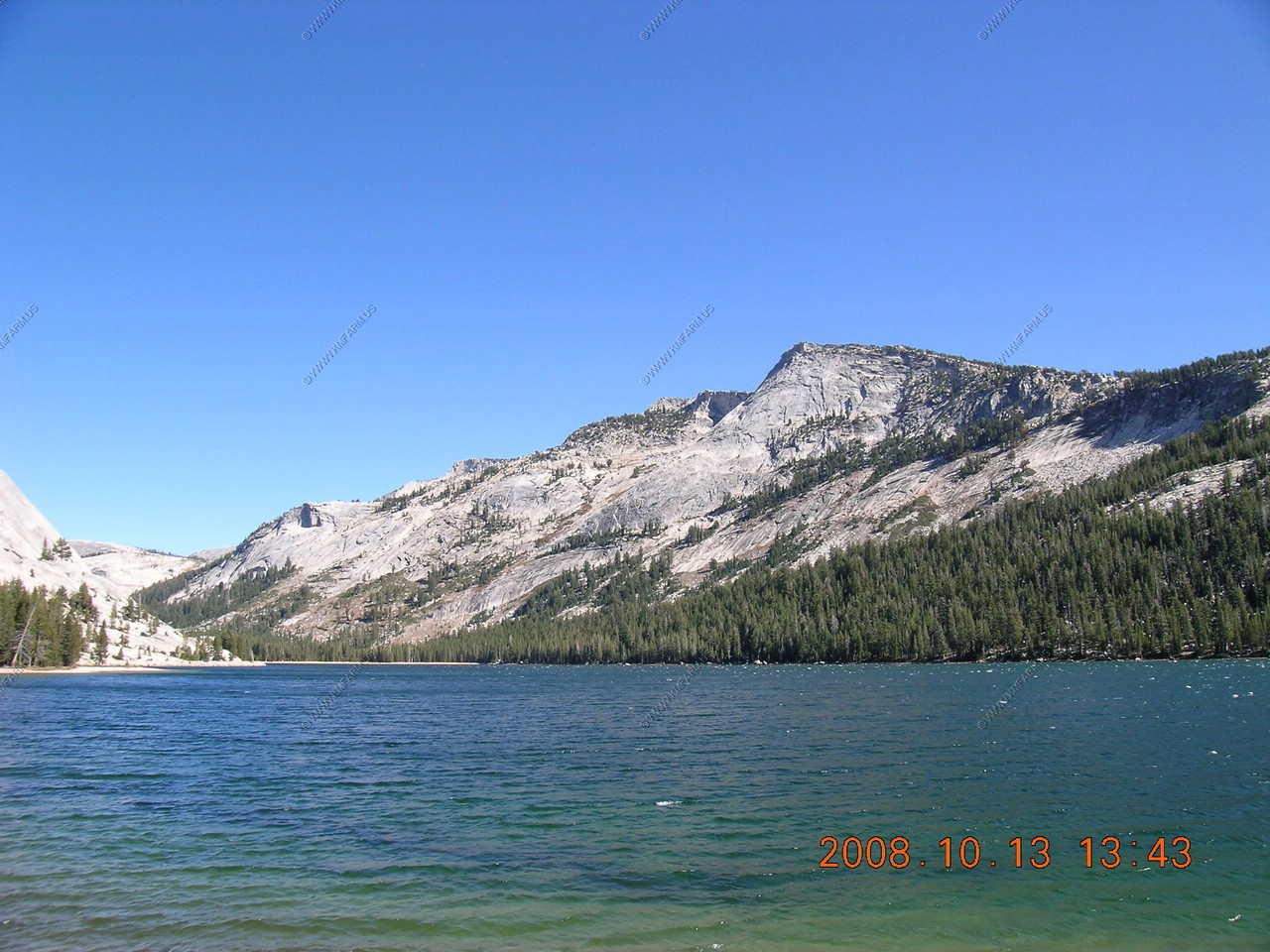
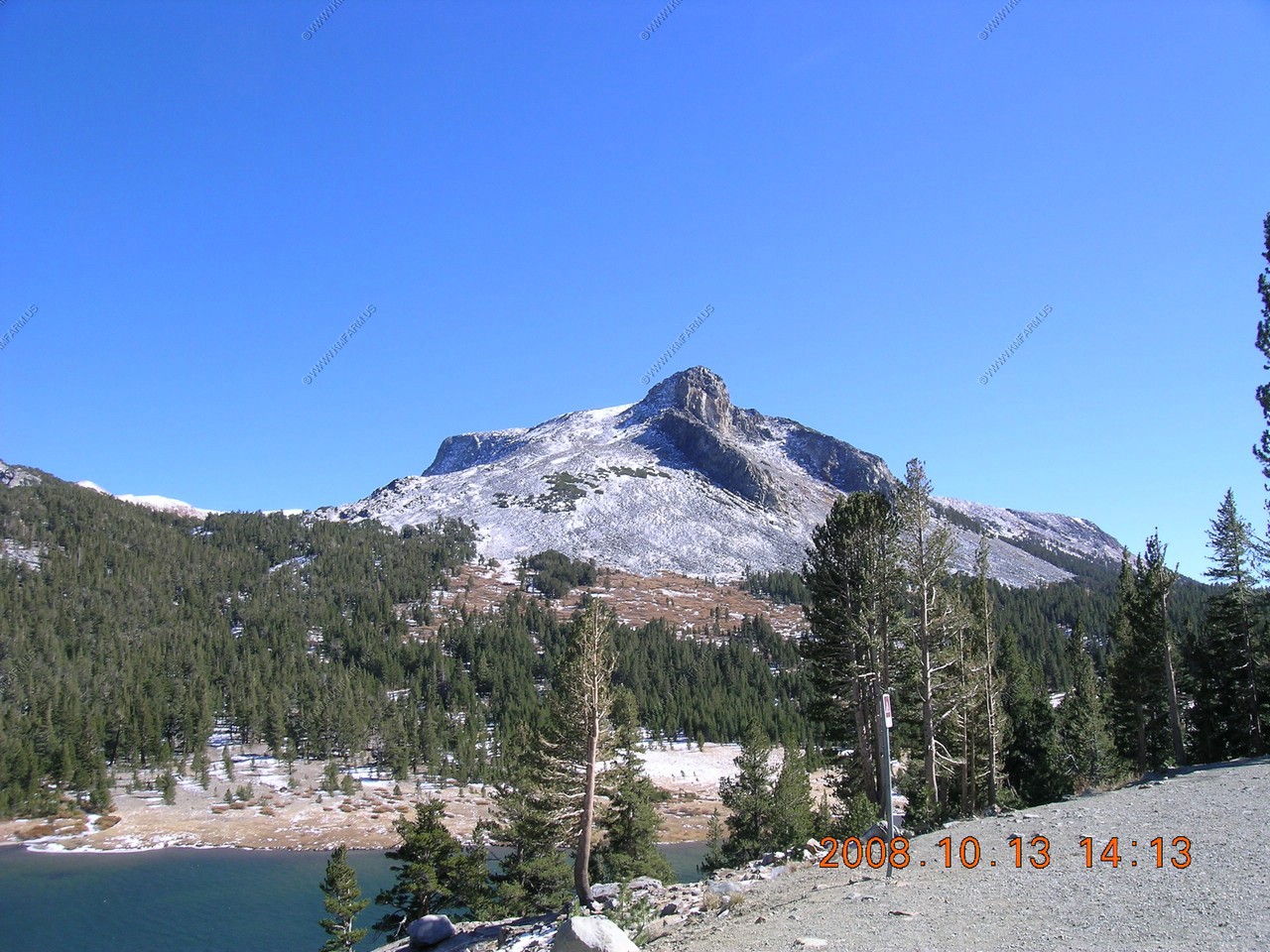
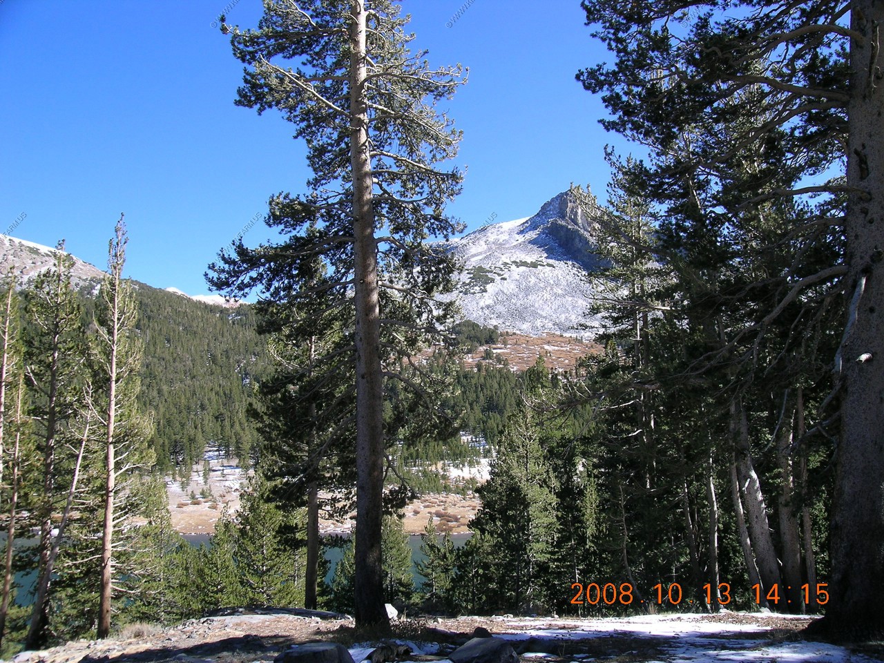
Looking North East towards Tenaya Lake appx. 2 miles away.
A number of the domes are clustered at the upper end of Tenaya Lake.
Tenaya Lake The surface of Tenaya Lake has an elevation of 8,150 feet
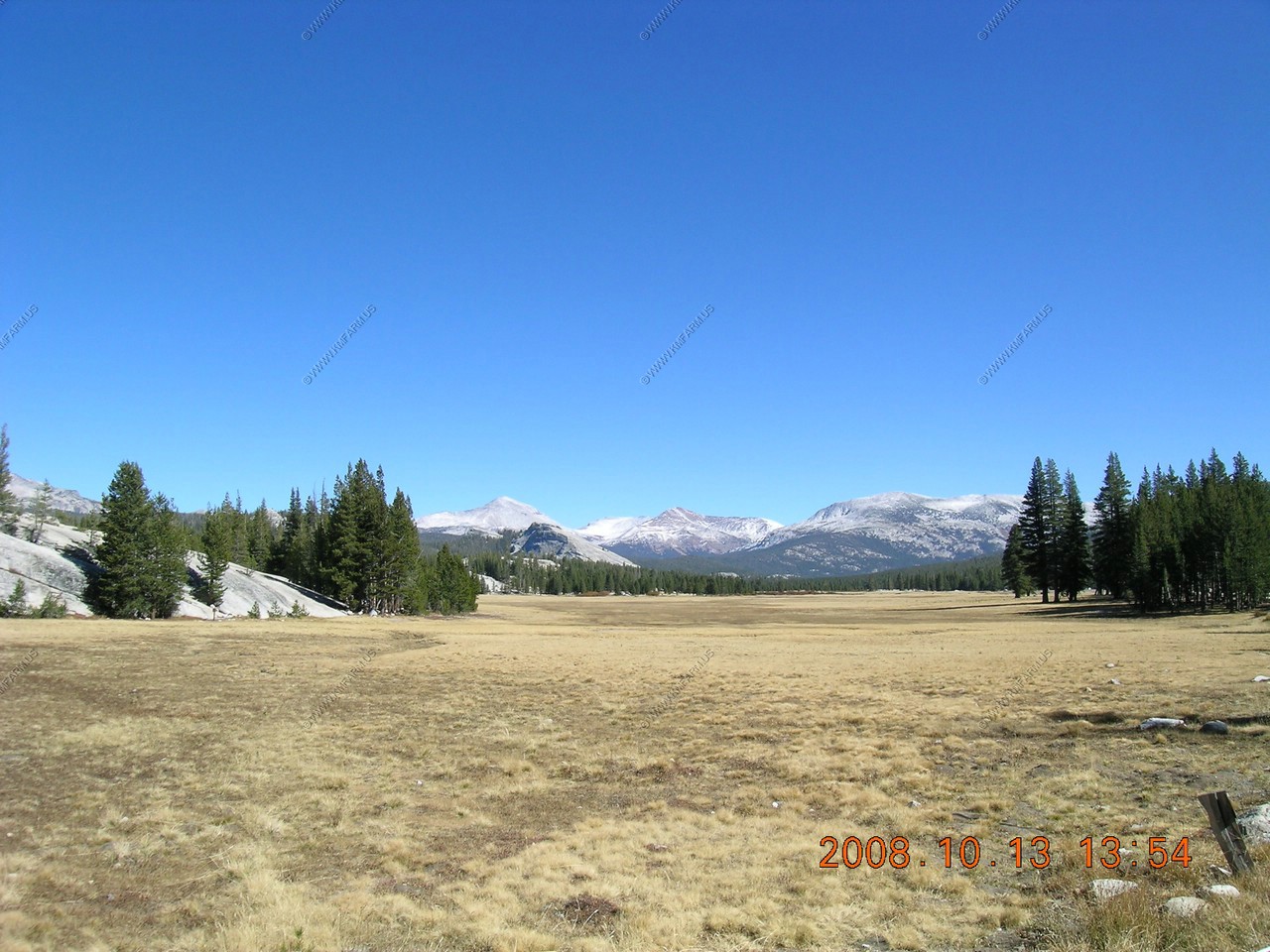
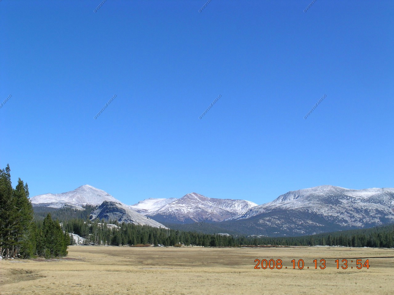
Tuolumne Meadows
More than half of the year Tuolumne Meadows lies buried beneath deep snow. Because of thin soil, drying winds and extreme temperatures, plants and animals at this elevation have developed various adaptations to the conditions. Marmots and ground squirrels hibernate beneath the snow shroud. Meadow plants grow hairs and waxy leaves to retain moisture, and bloom quickly in a brief burst of spring.

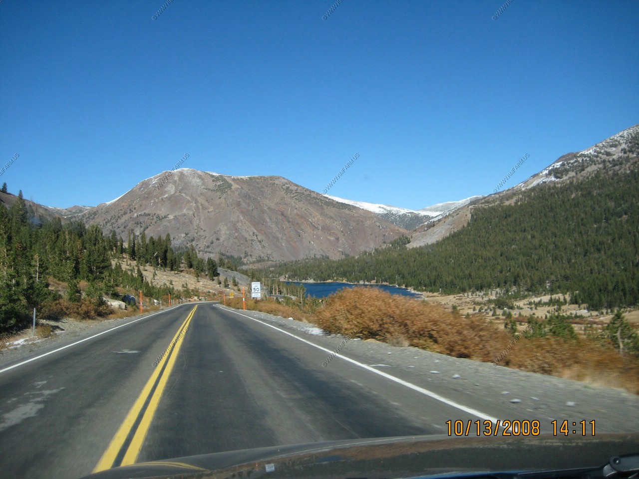
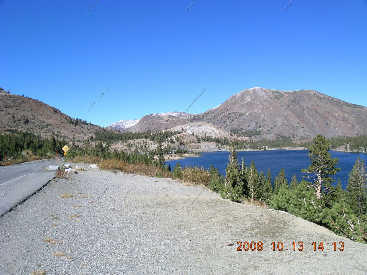
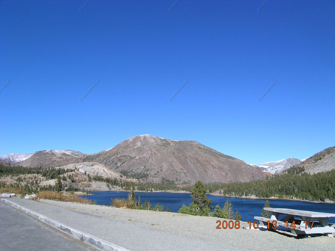
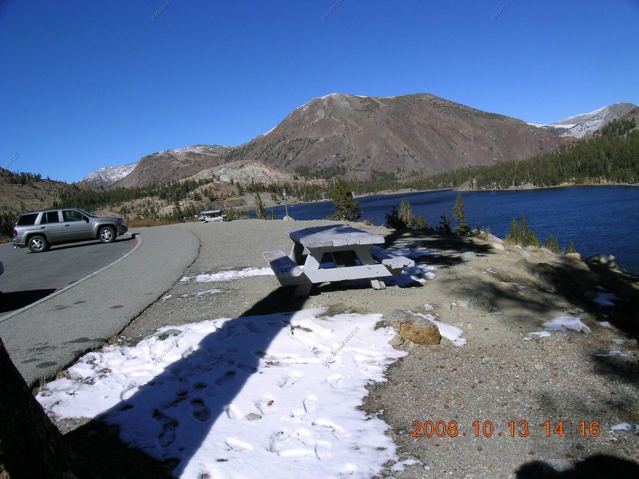
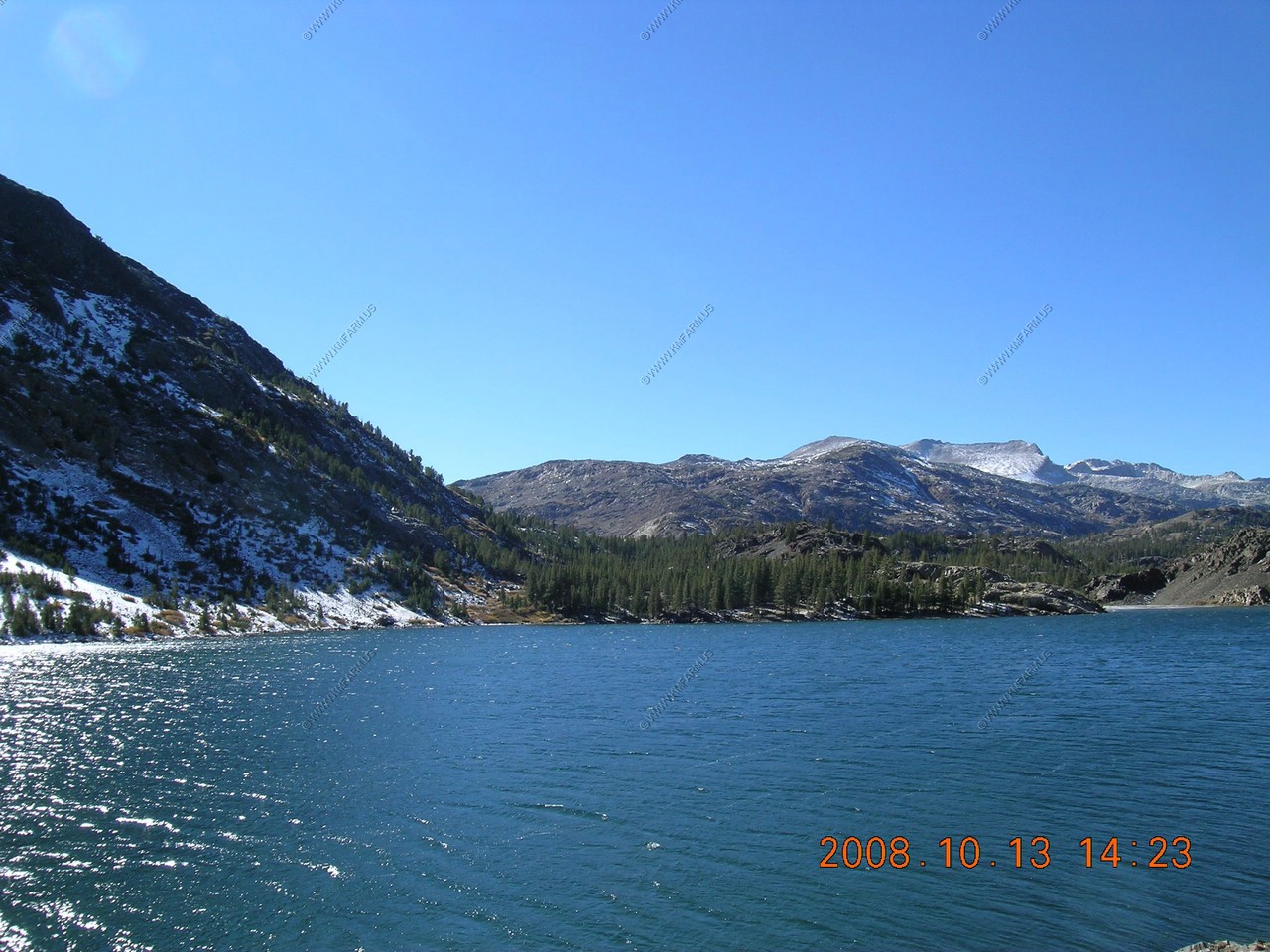
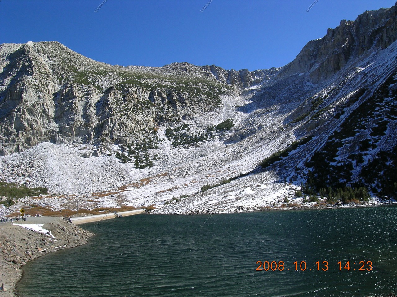
Tioga Lake
Located on the east side of Tioga Pass (El. 9,945)
Although Tioga Lake is technically outside the borders of Yosemite, many consider it a part of the park because of the lush topography. This is especially in contrast to the desert below, surrounding the Mono Lake area, US 395 and the eastern Sierra Nevada. While the region has a stark beauty, this is far less popular than Yosemite Valley, mostly because of the added distance to most of California.
Because of the inaccessibility, the region and Tioga Lake itself is most popular with campers who want to avoid the crowds of Yosemite, photographers, anglers, and nature lovers in general. Birds of prey are more common here, making Tioga Lake and its surroundings popular especially with bird watchers. Because of the altitude and location at the crest of a major pass, the weather is extremely unpredictable, and the length of the seasons varies from year to year.
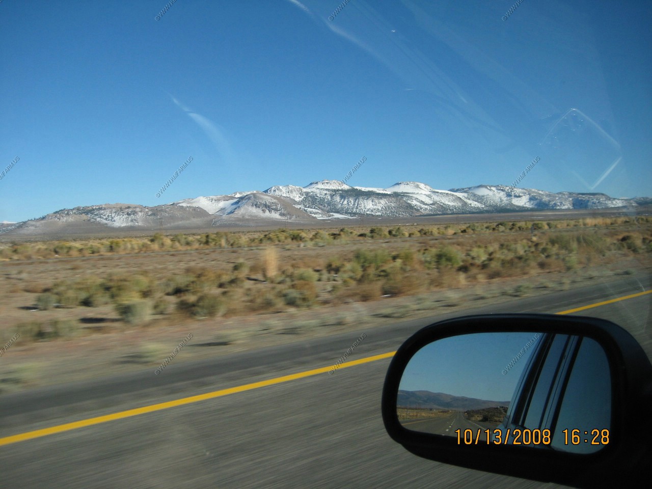
We have entered the Great Basin. No water makes it to the ocean naturally (LA does steal it from here and much more on that later)
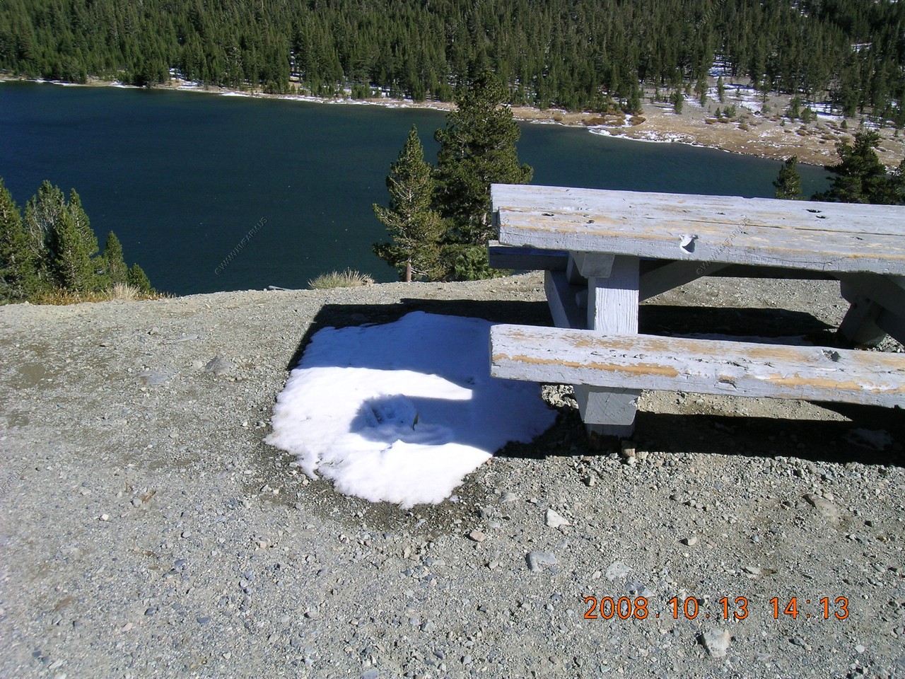
Snow left in the shadows from two days ago.
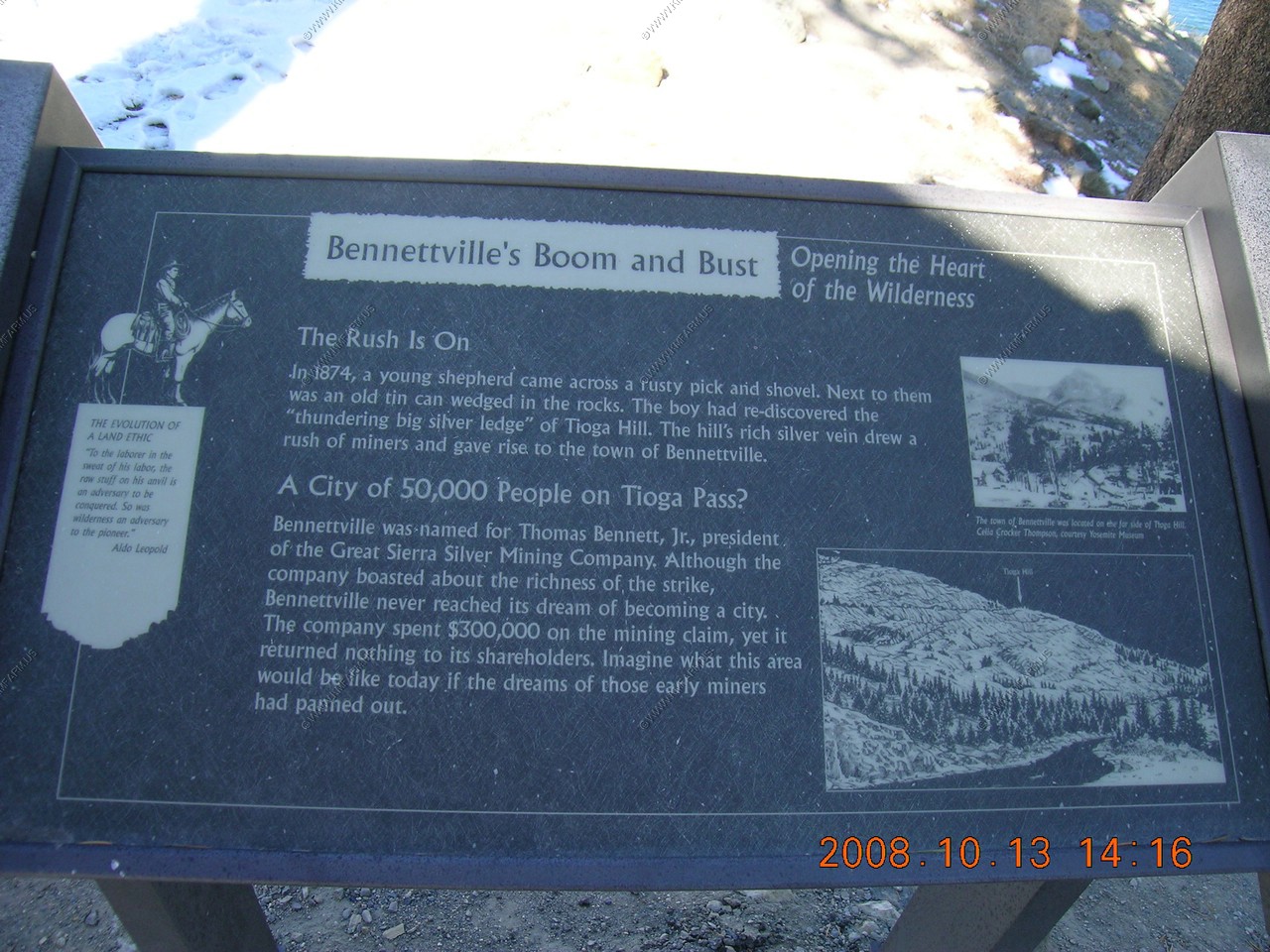
Information on Bennettville's Boom and Bust.
I like the last line. "Imagine what this area would be like today if the dreams of those early miners had panned out."
Too bad... I would love to see a huge open-pit mine here. We need mines to help our country !!
Ellery Lake (El. 9,538)

Dropping from 9,500 feet to 6,800 feet.
Looking 50 miles East to the upper end of the White Mountain Range (Highest Range in the Great Basion region)
The northern area in view is the highest point in Nevada, Boundary Peak (El. 13,140)
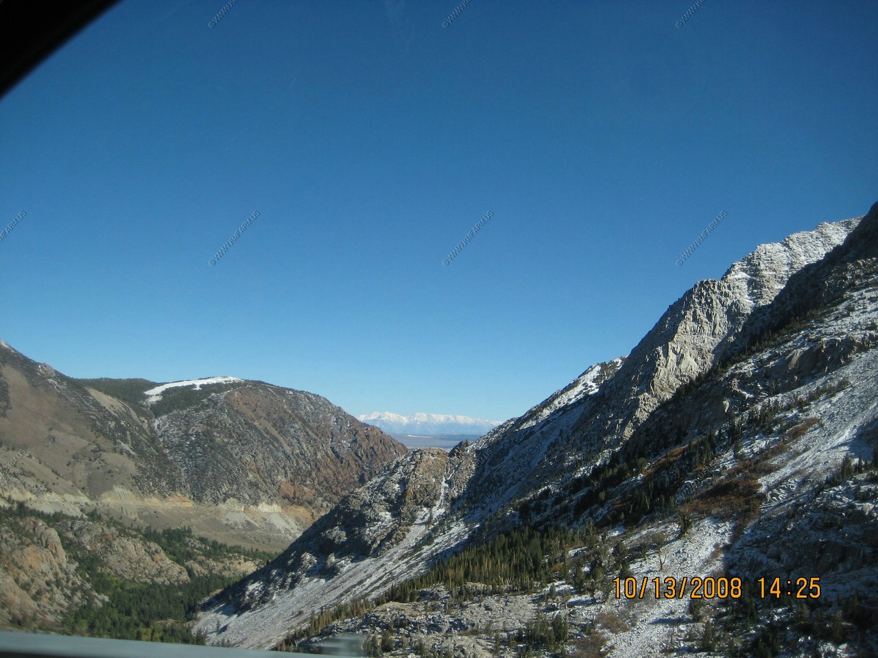
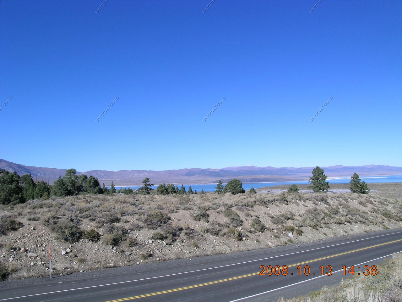
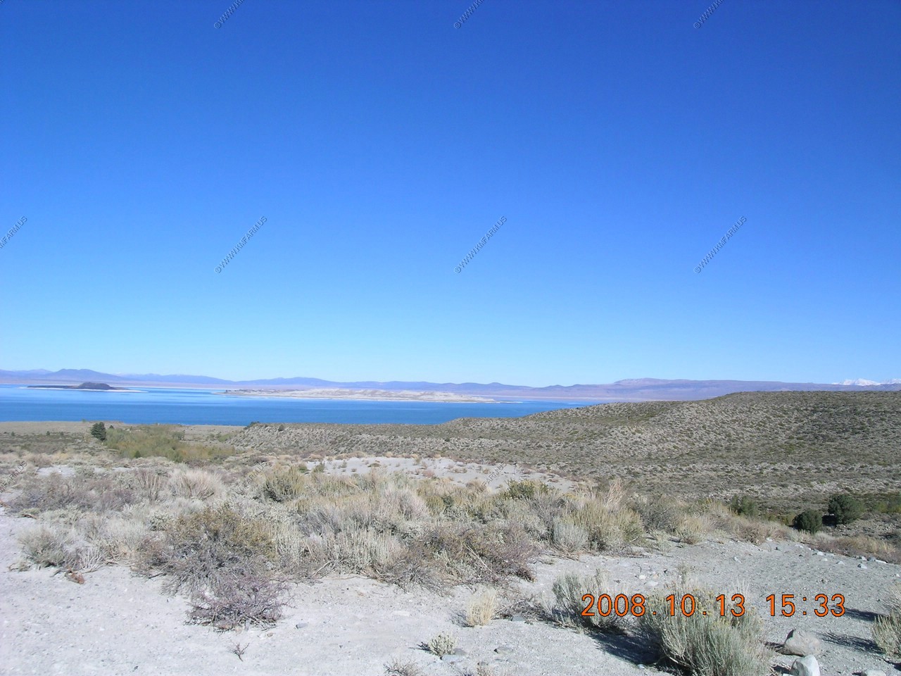
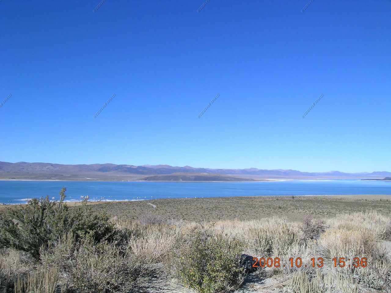
Our first view of Mono Lake from near the intersection of CA120 and US395
For the next week we will not go far from US-395.

Looking back up CA120 towards the pass 12 miles away.
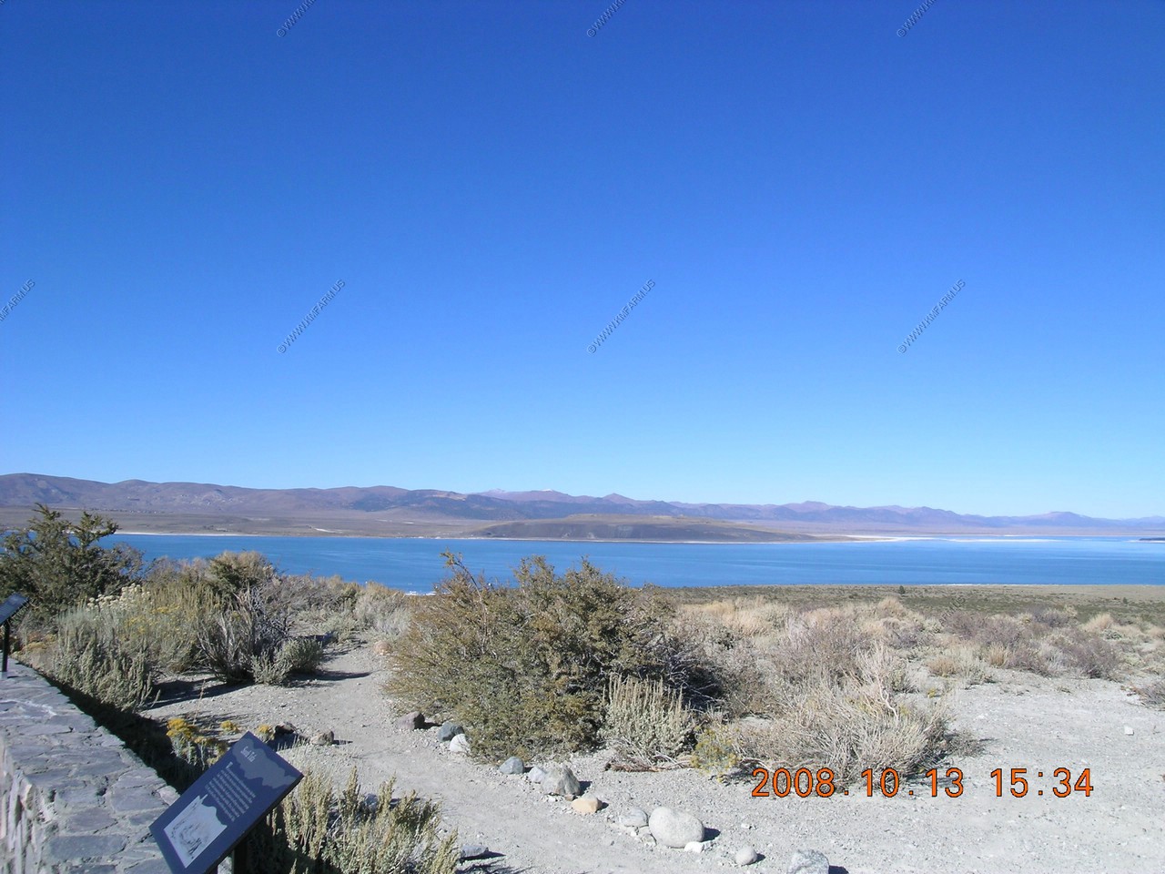
Our first stop was at the Mono Basin Scenic Area Visitor Center where it became obvious that there was much to see in this area.
Mono Craters
40,000 years ago, the site of the Mono craters was virtually flat. A series of eruptions, some occurring as recently as 650 years ago, created this mountain range, the youngest in North America. Panum, the youngest and easiest to explore of the craters, is located off of Highway 120 East on an improved dirt road. Trails leading around Panum's rim and up its dome invite visitors on geologic adventures. Because the pumice sand surrounding the Mono craters is extremely soft, many roads require four-wheel drive vehicles. Please use caution.
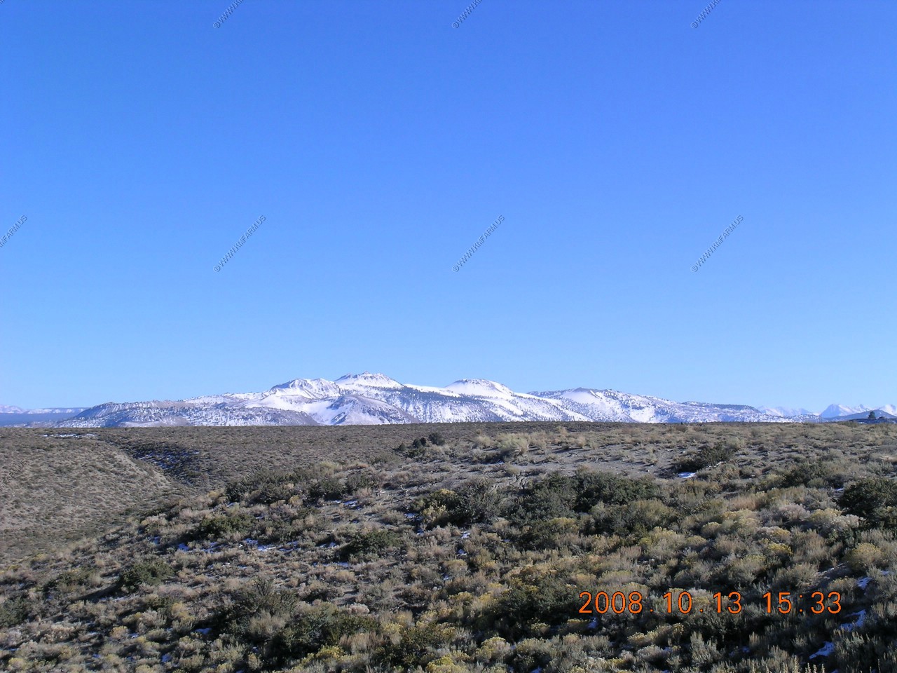
Looking 50 miles South East to the upper end of the White Mountain Range to the highest point in Nevada, Boundary Peak (El. 13,140)
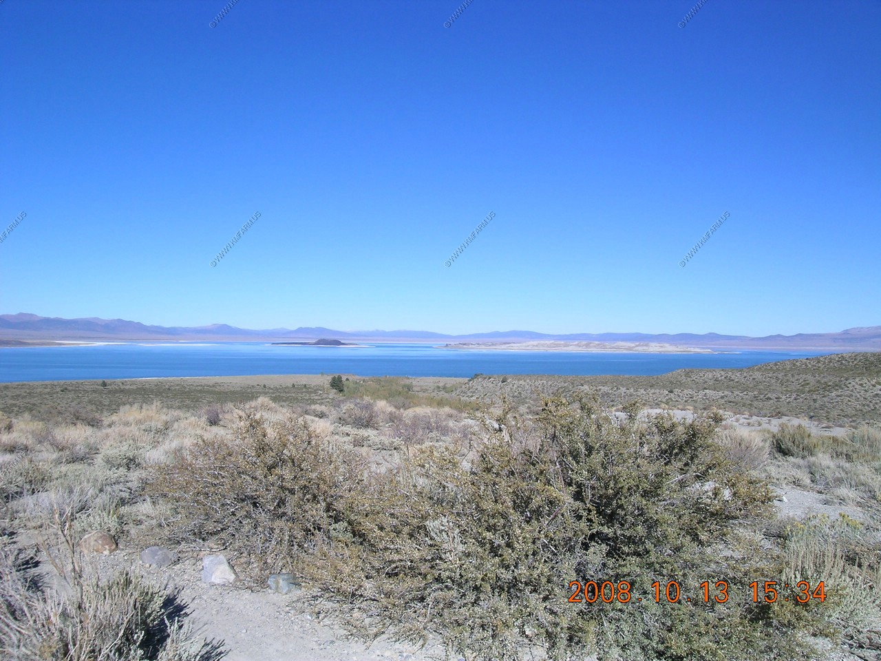
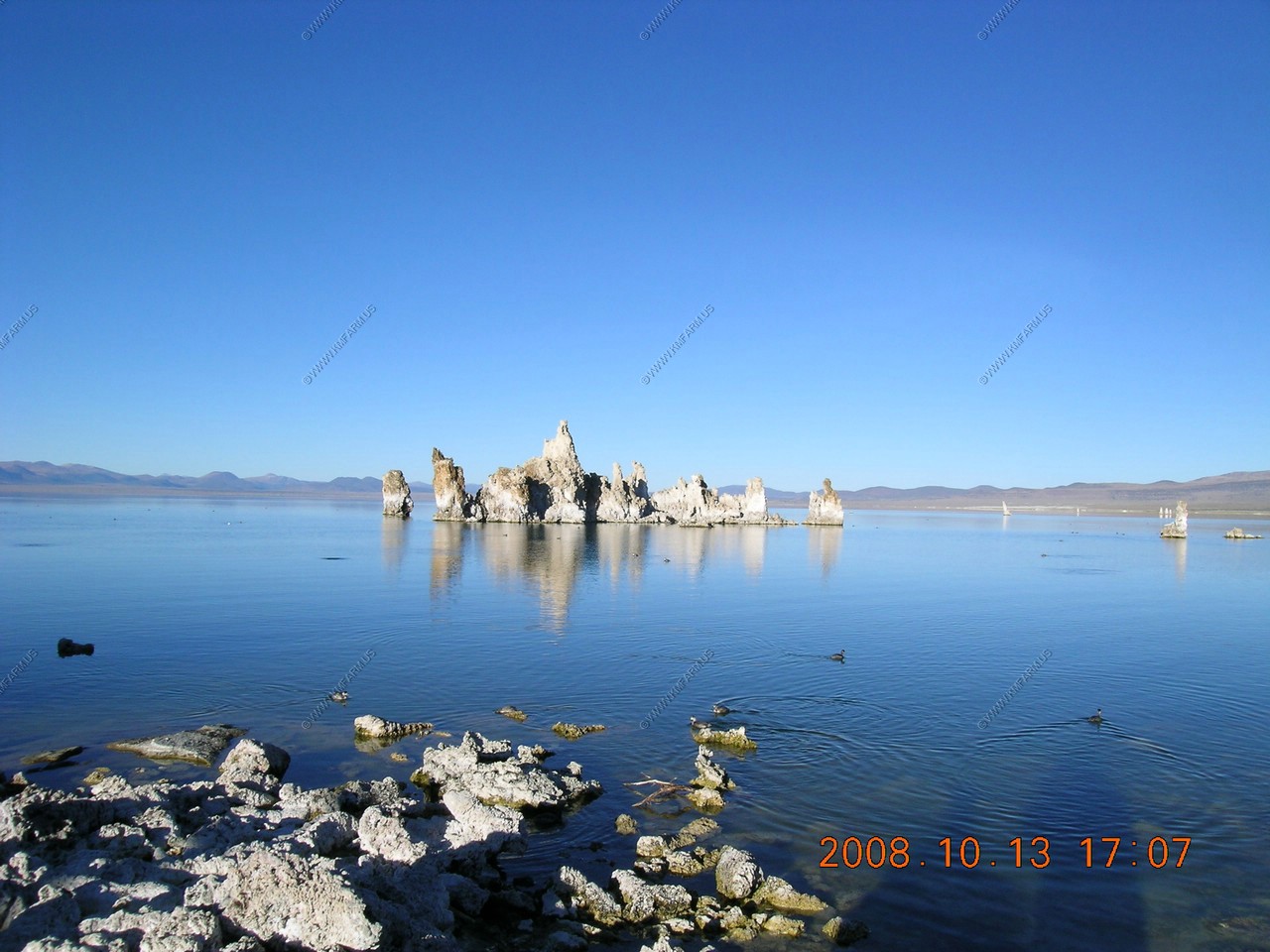
Mono Lake
Paoha, the larger of the two islands, does not look volcanic because its surface is composed of lake bottom sediments. About 300 years ago, magma rose underneath the lake and pushed the sediments above the water level. Negit, the black island, was formed by volcanic eruptions occured between 300 and 1,700 years ago. Negit once hosted most of the state's nesting California gulls. When the land bridge emerged in 1977, because Los Angeles was stealing the water, most gulls moved to nearby islets to escape predators that could reach their nest.
Land Bridge
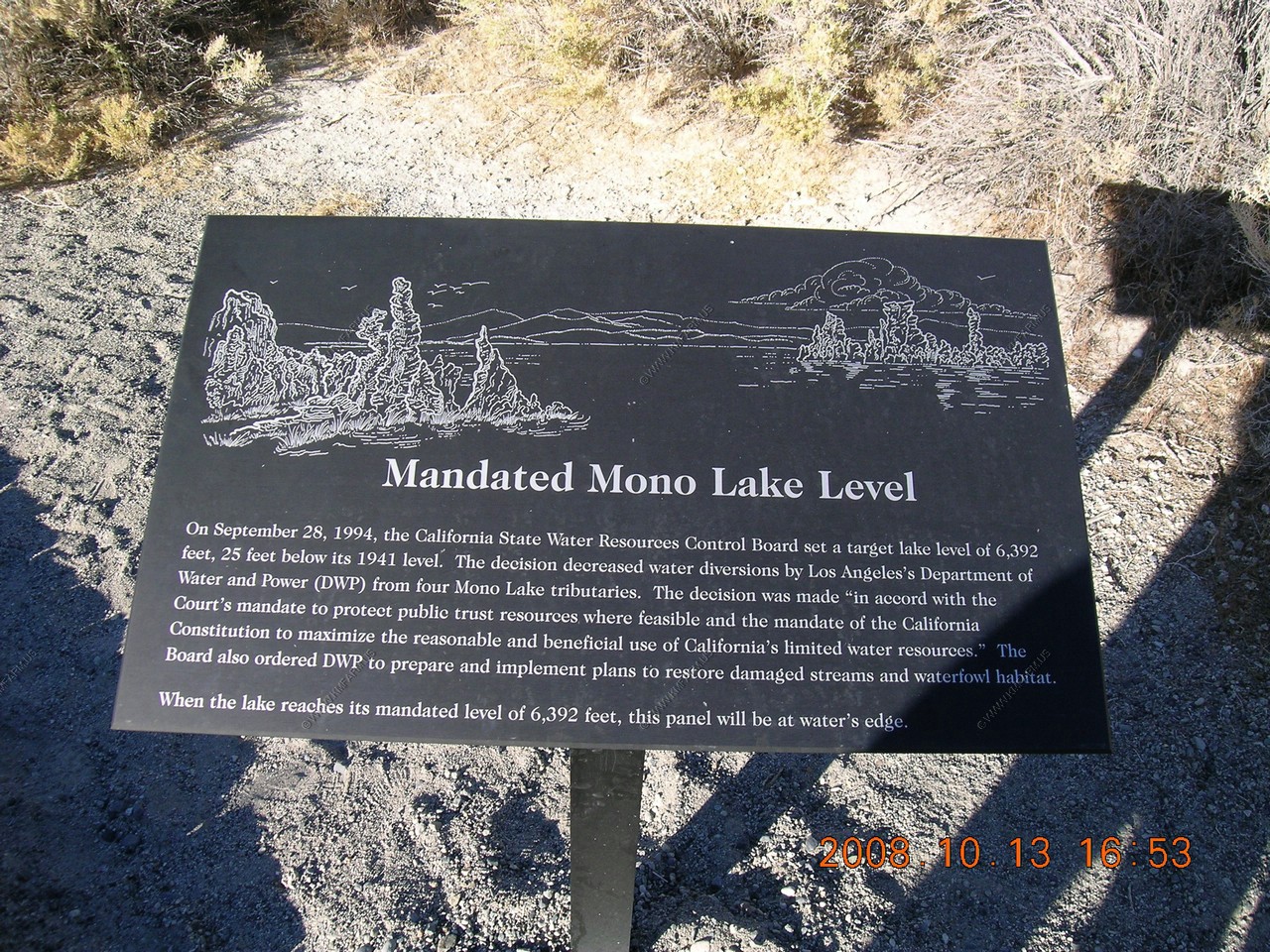
Can you see a white expanse between Black Point and Negit Island? Before the city of Los Angeles began diverting Mono basin streams in 1941, nearly 2 miles of water separated Negit from the mainland. When Mono Lake's water level dropped below 6,377 feet, the land bridge was exposed allowing coyotes and other predators to reach the gull colonies during the nesting season. This stretch of lake bottom has been a source of dust storms during windy weather. In 1994 the State water resources control Board decision mandated that Mono Lake would be managed at 6,392 feet, ultimately submerging this problematic stretch of old lake bottom.

Black Point
Black point, a volcano that erupted underwater, is an unusual sight on dry land! The eruption that spewed out this pile of black cinders occurred under a much deeper Mono Lake during one of the Mono basin's many ice ages. As the climate warmed and Mono Lake shrank, Black point was exposed. Its sharp cinders are mined and scattered on roads during the winter to provide traction and slippery ice.
Lee Vining Creek
Beyond this bluff you can see the Lee Vining Creek flowing into Mono Lake. For decades, most of the creek's flow was diverted to the city of Los Angeles. The plant and animal life that depended on the water died off. In the early 1990's, the state ordered that the creek's fishery be restored to its pre-diversion condition. Restoration has included releasing more water down the creekbed, rebuilding stream channels and pools, and replanting native trees.
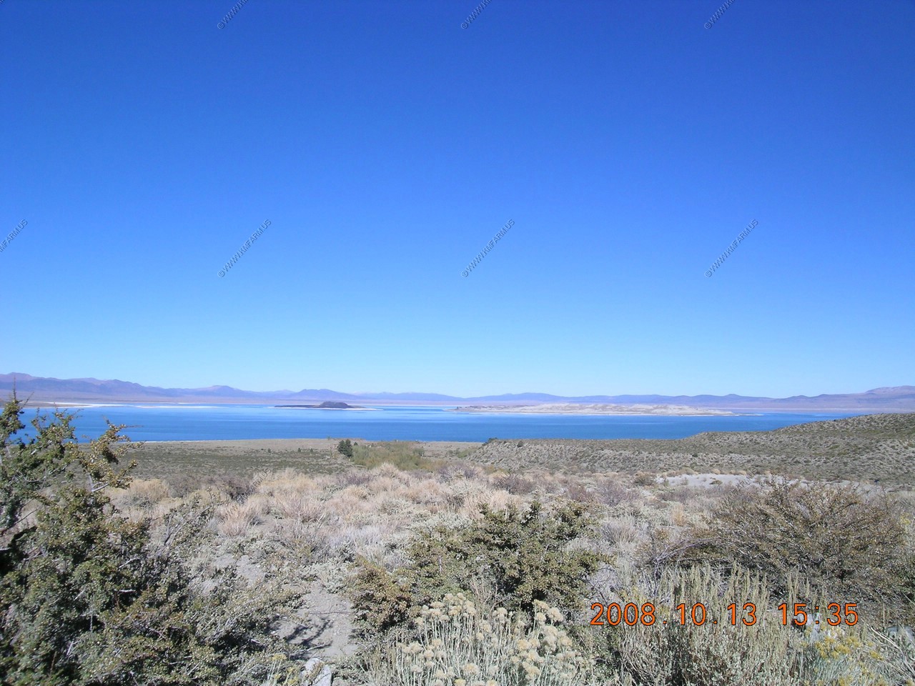
Mono Craters from us-395
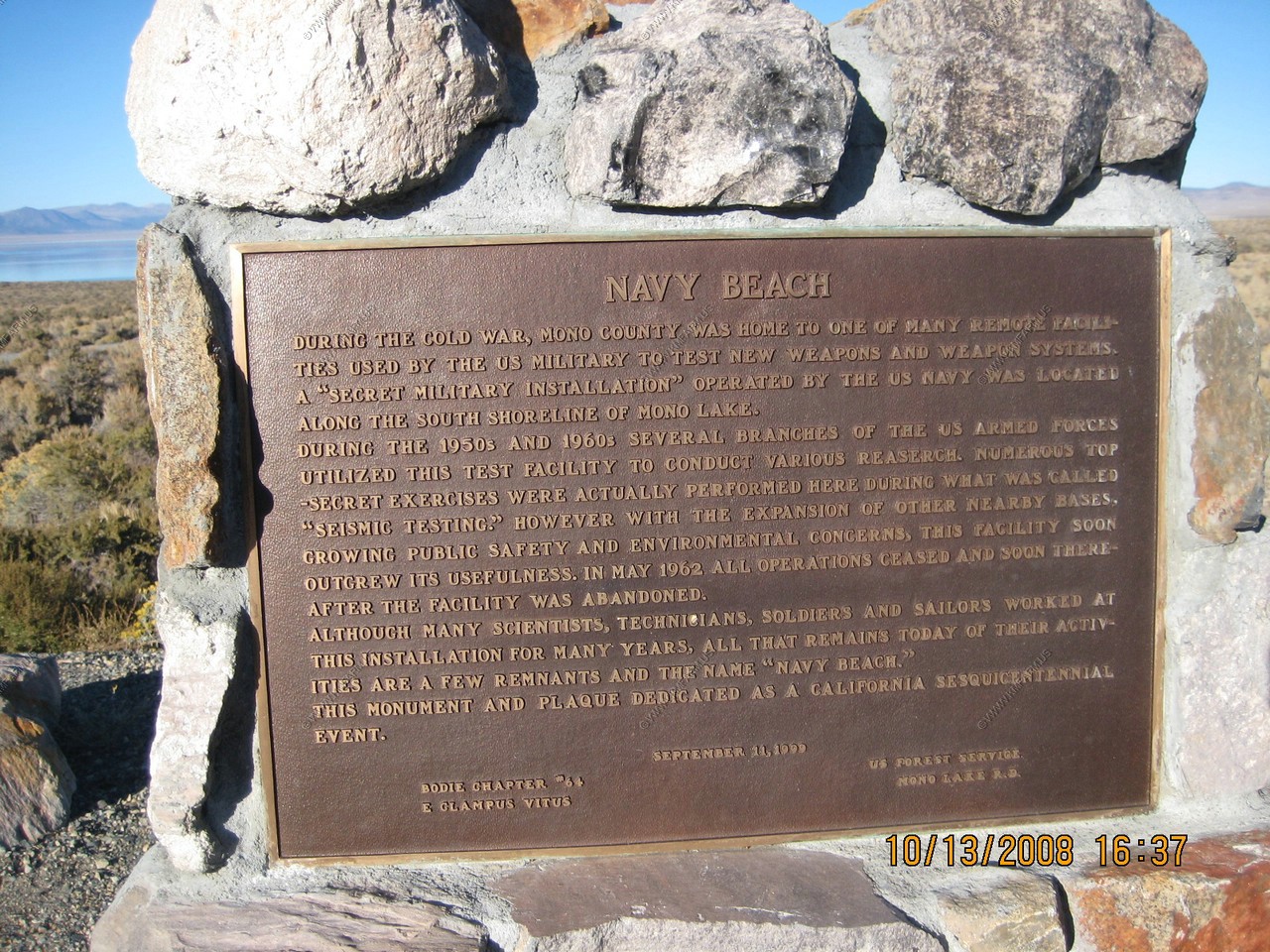
The Navy Beach sign. We never did make it over to that part of the lake. Next time !
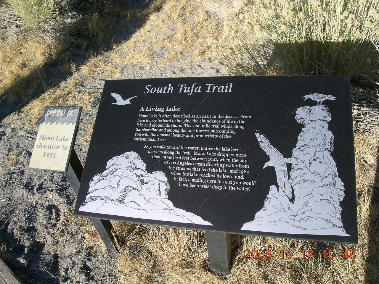
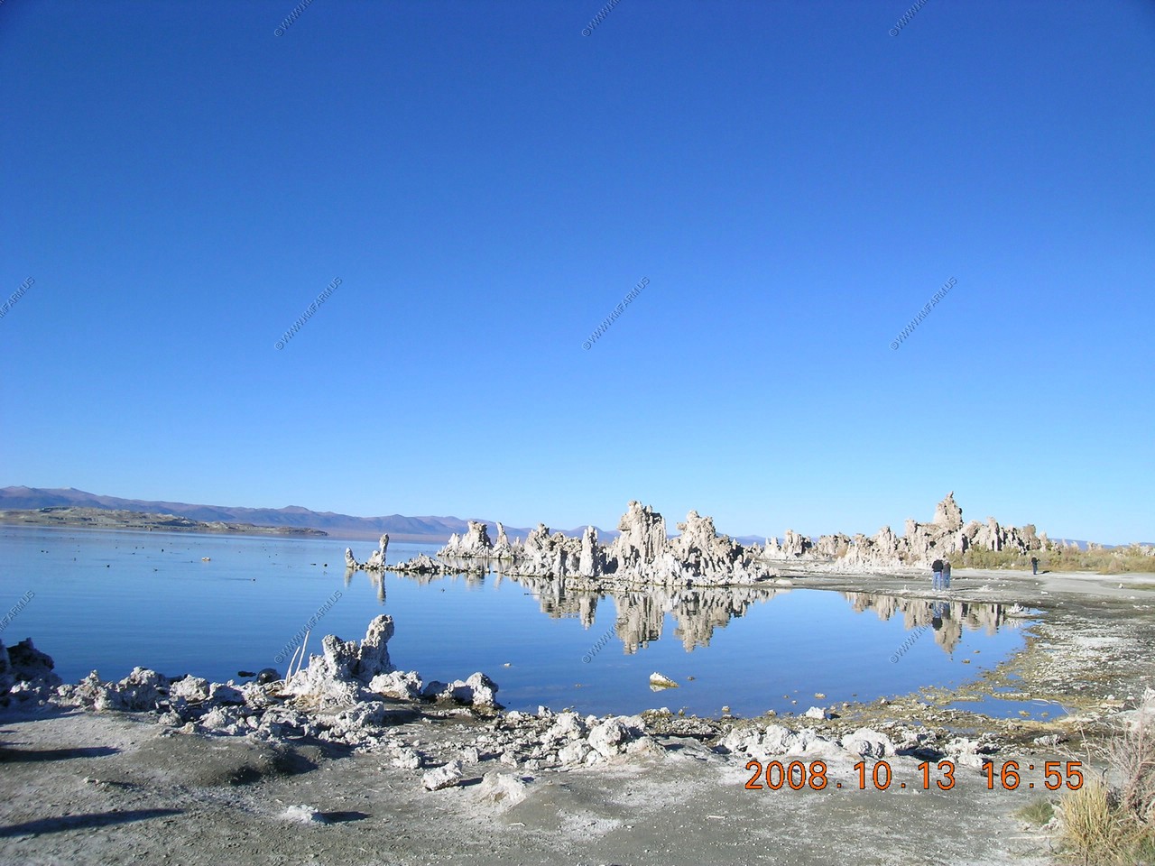
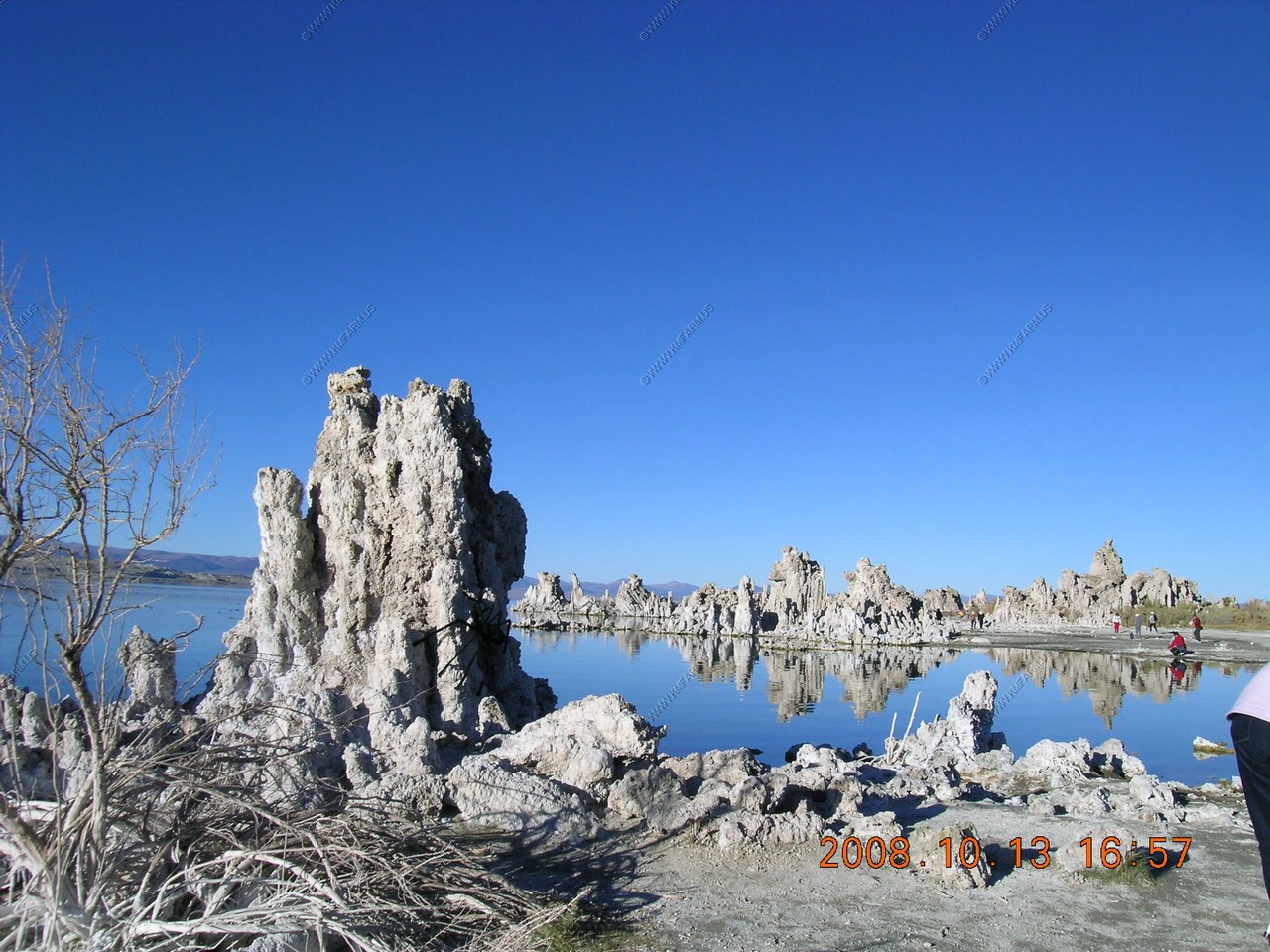
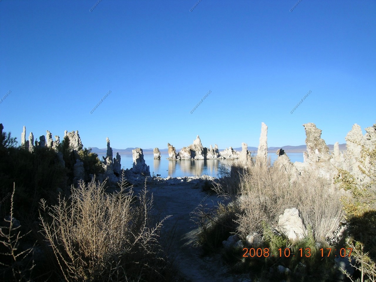
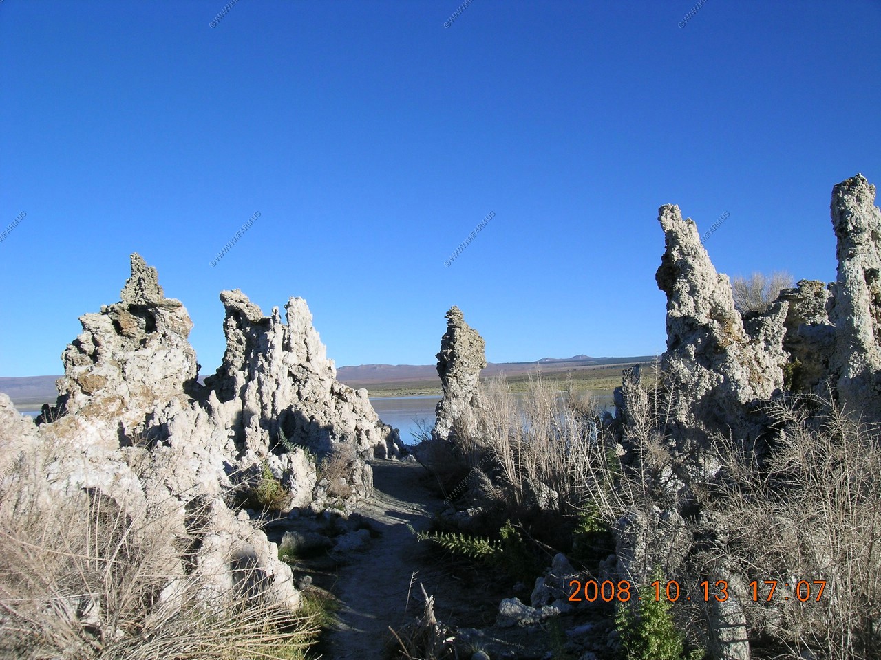
We took the South Tufa Trail. Amazing that this was the lake elevation in 1951
A living lake - Mono Lake is often described as an oasis in the desert. From here it may be hard to imagine the abundance of life in the lake and around its shore. This 1 mile trail winds along the shoreline and among the tufa towers, surrounding you with the unusual beauty and productivity of this ancient inland sea. As you walk towards the water, notice the lake level markers along the trail. Mono Lake dropped more than 45 vertical feet between 1941, when the city of Los Angeles began diverting water from the streams that feed the lake, in 1982 when the lake reached its low stand. In fact standing here in 1941 you would have been waist deep in the water.
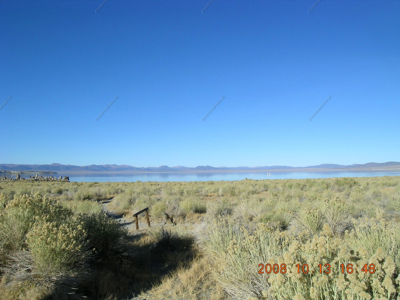
Looking out on where the lake was in 1951
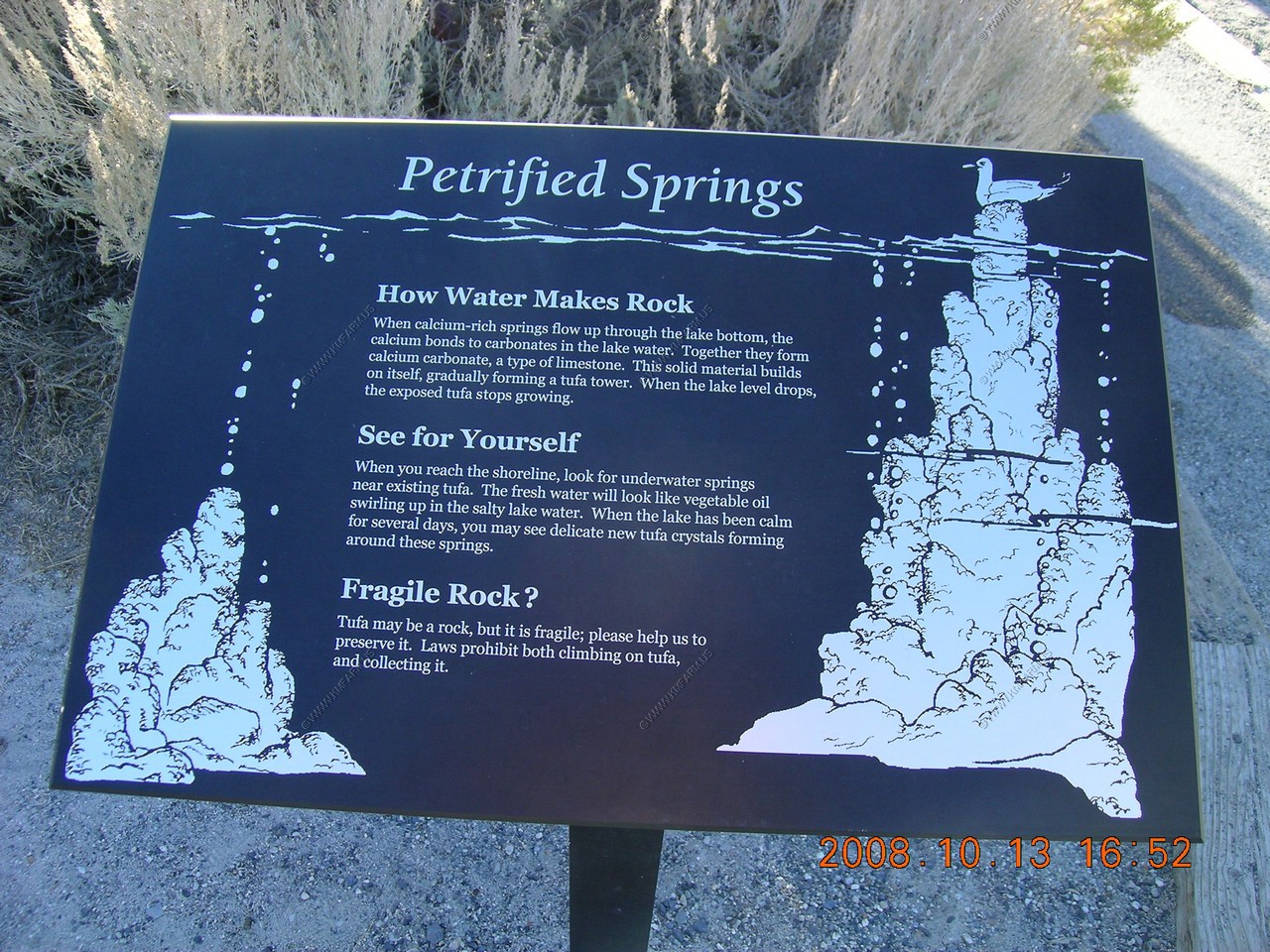
Sign about how the water makes the rock... Springs !
Sign about the mandated water level
More salt than the sea !

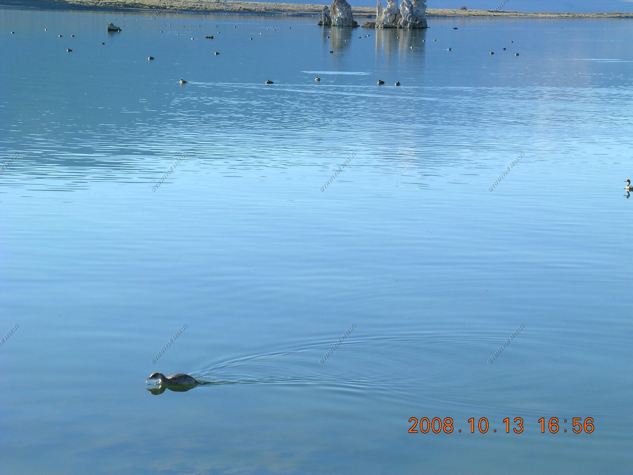
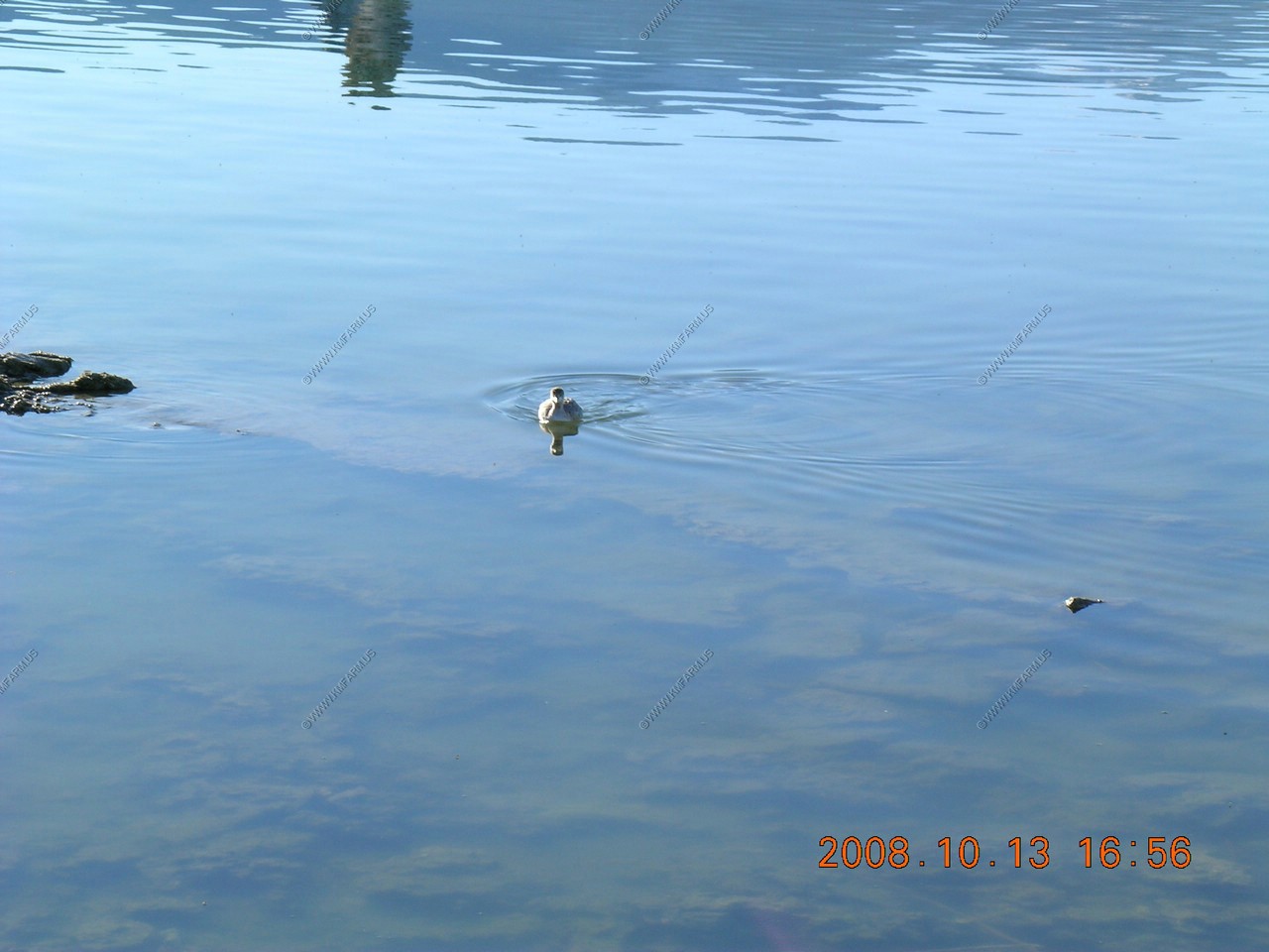
Eared grebes and ruddy ducks further out
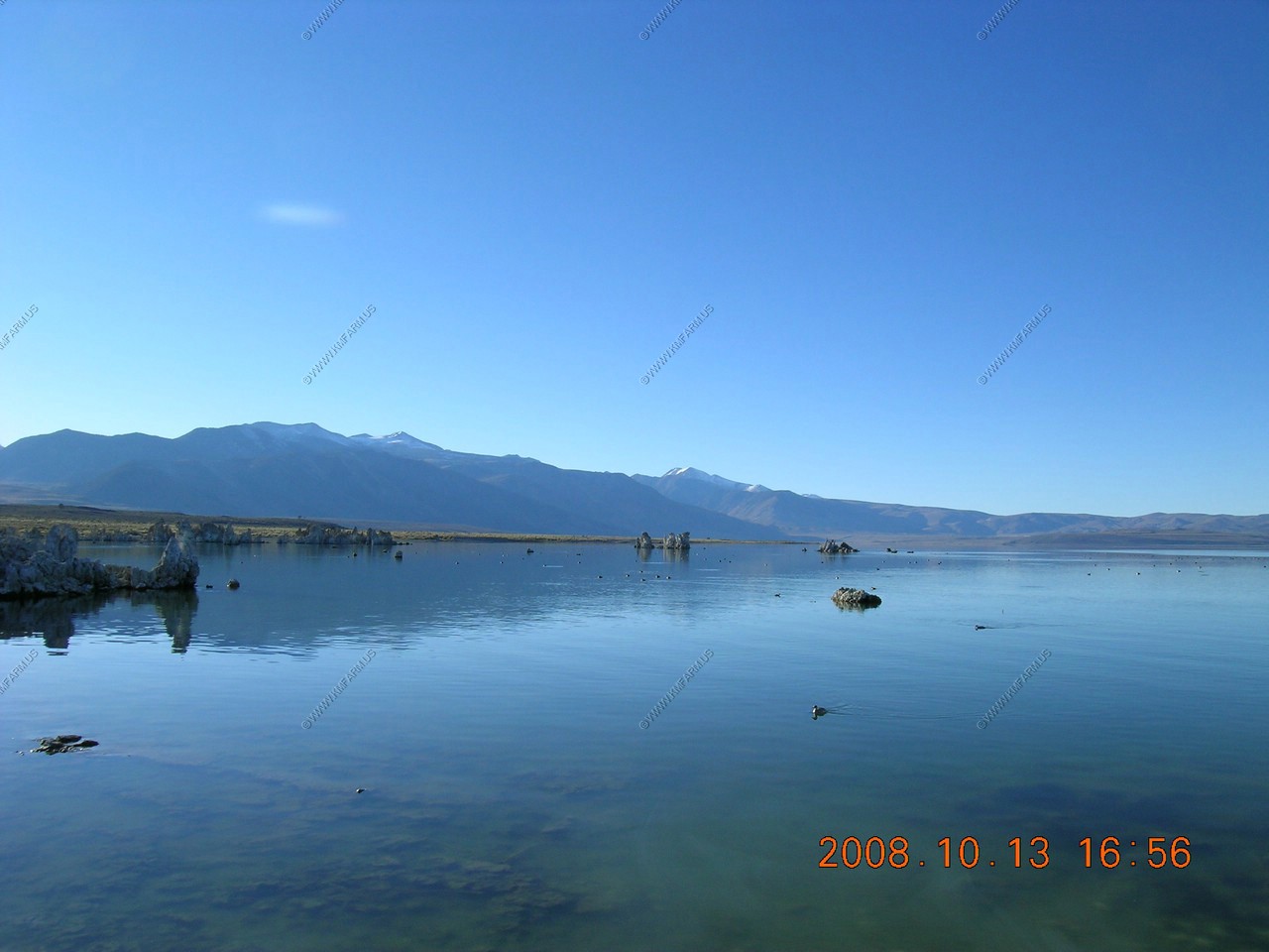
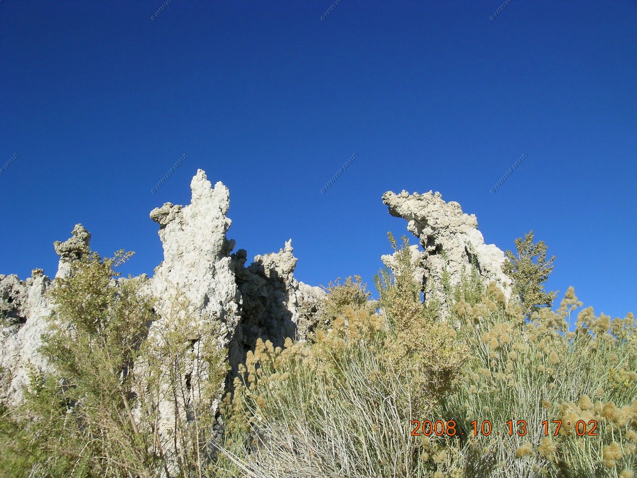
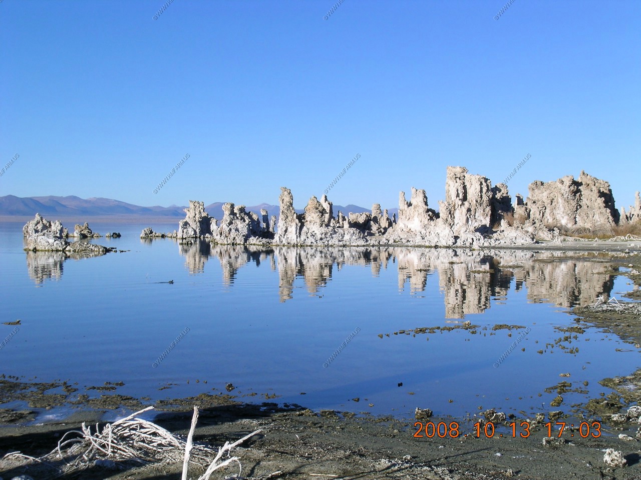
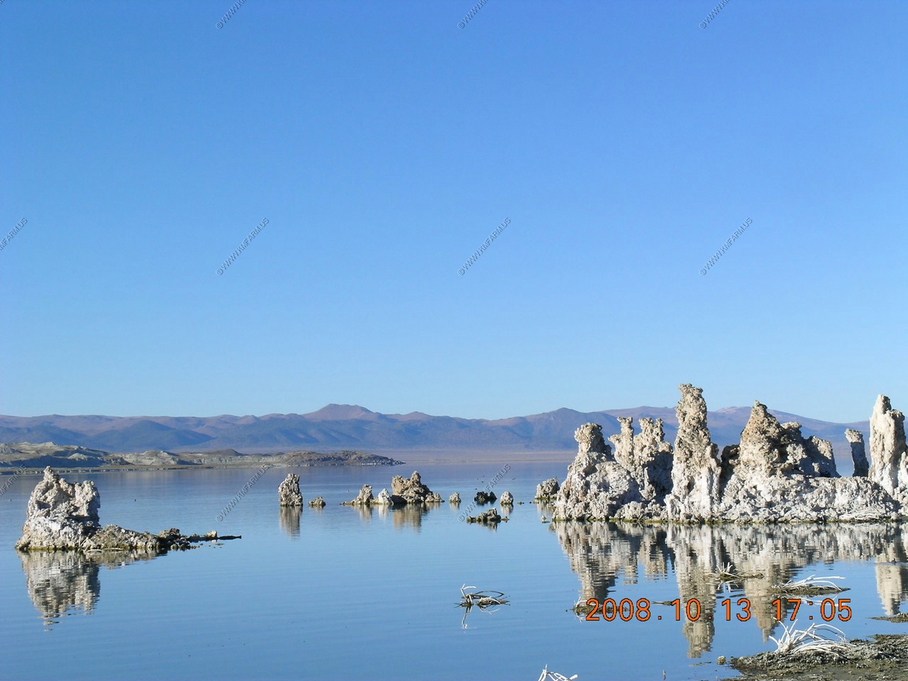
Mono lake tufa views

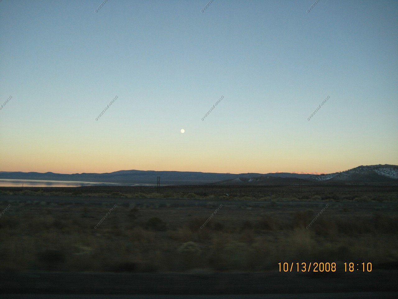
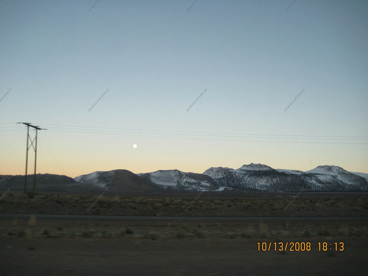
Looking at the moon rising from US-395. We ran back over to Whoa Nellie Deli for dinner and ate it in the car while waiting for the Halloween walk to start
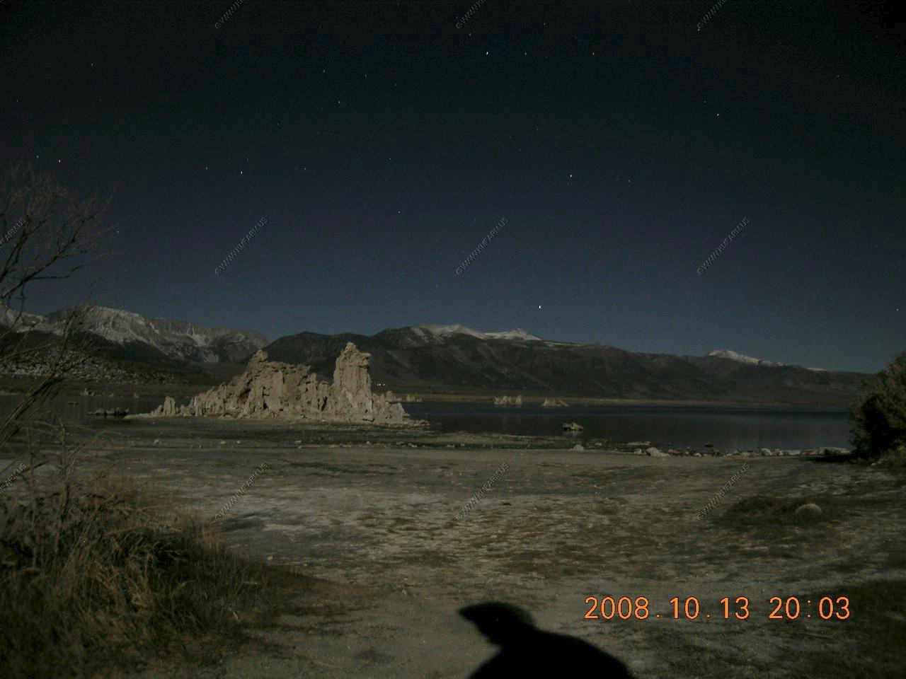
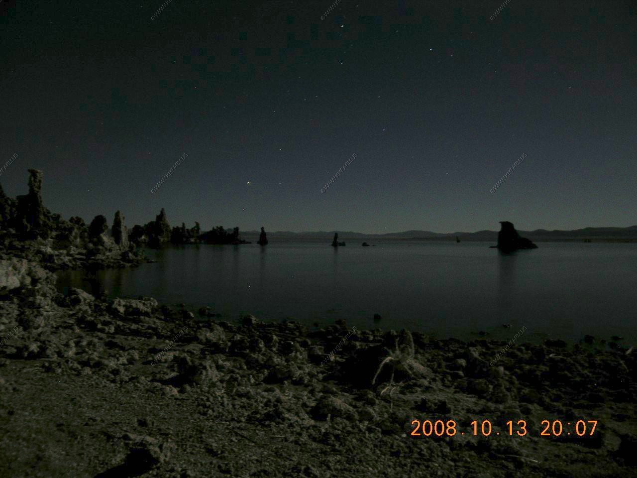
Attempts of night shots without a tripod. Not bad. Close to two hours past sunset
Taken looking west. You can see the town of Lee Vining to the right of the Tufa.

Looking east. No town of any size for hundreds of miles !
Mono Lake had a Halloween walk the first night for the full moon.
Lee Vining playing a song
Tufa Man (who was very good)
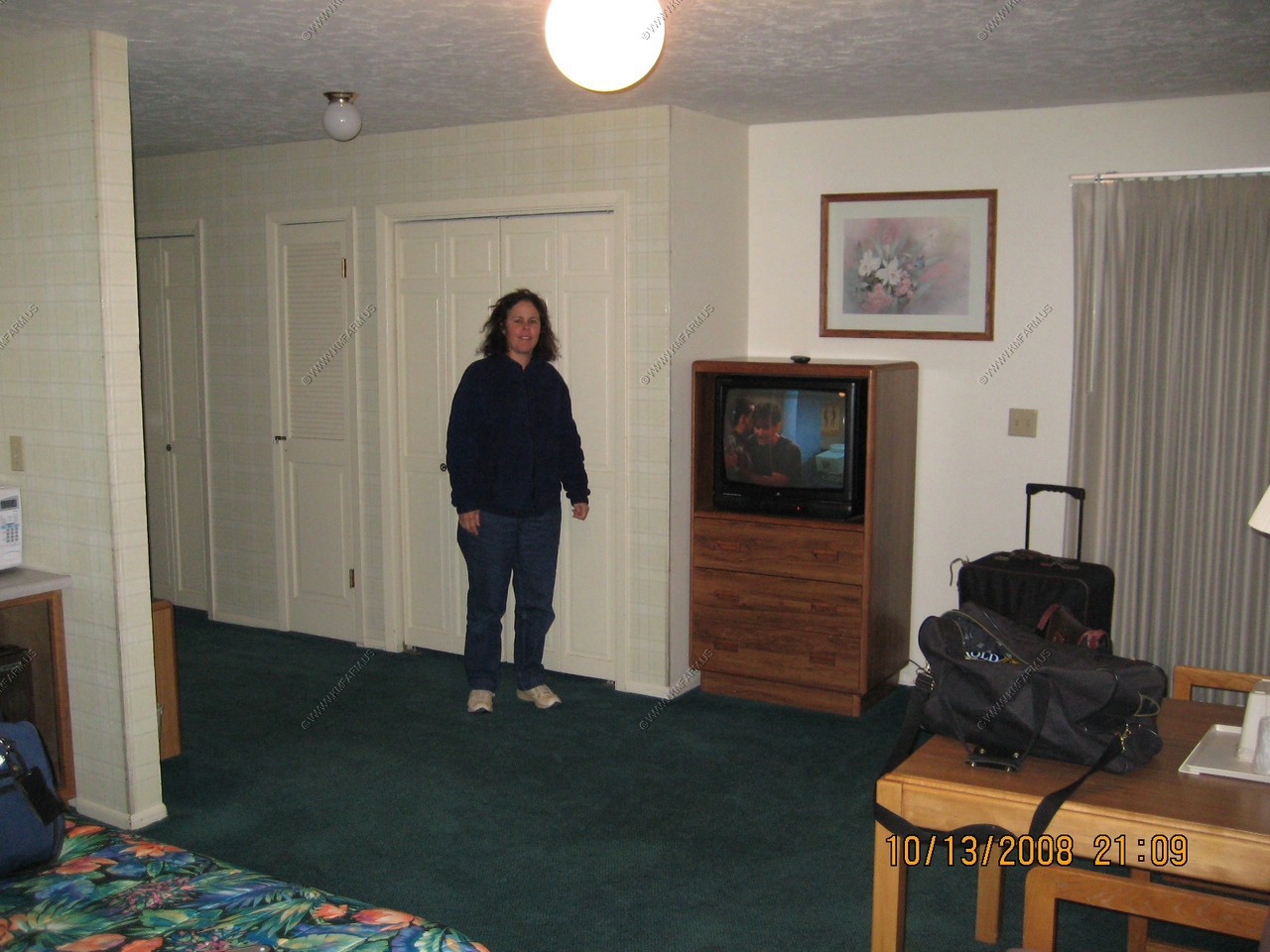
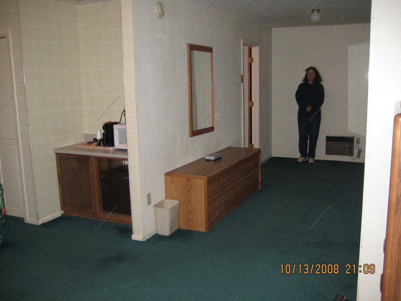
Our giant room at Lake View Lodge in Lee Vining. Internet connection sucked !