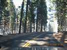
Easy drive day. Only 165 miles
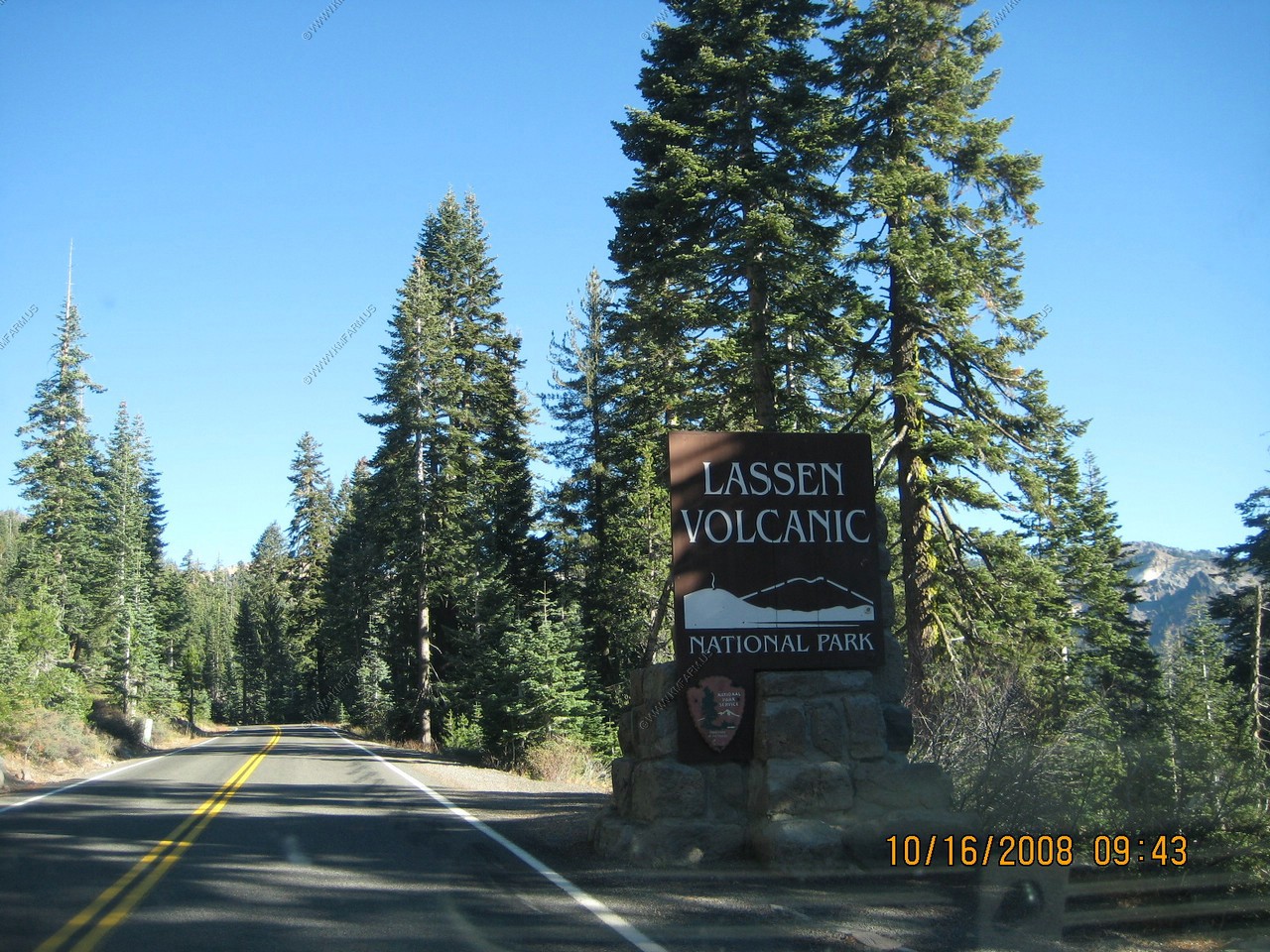
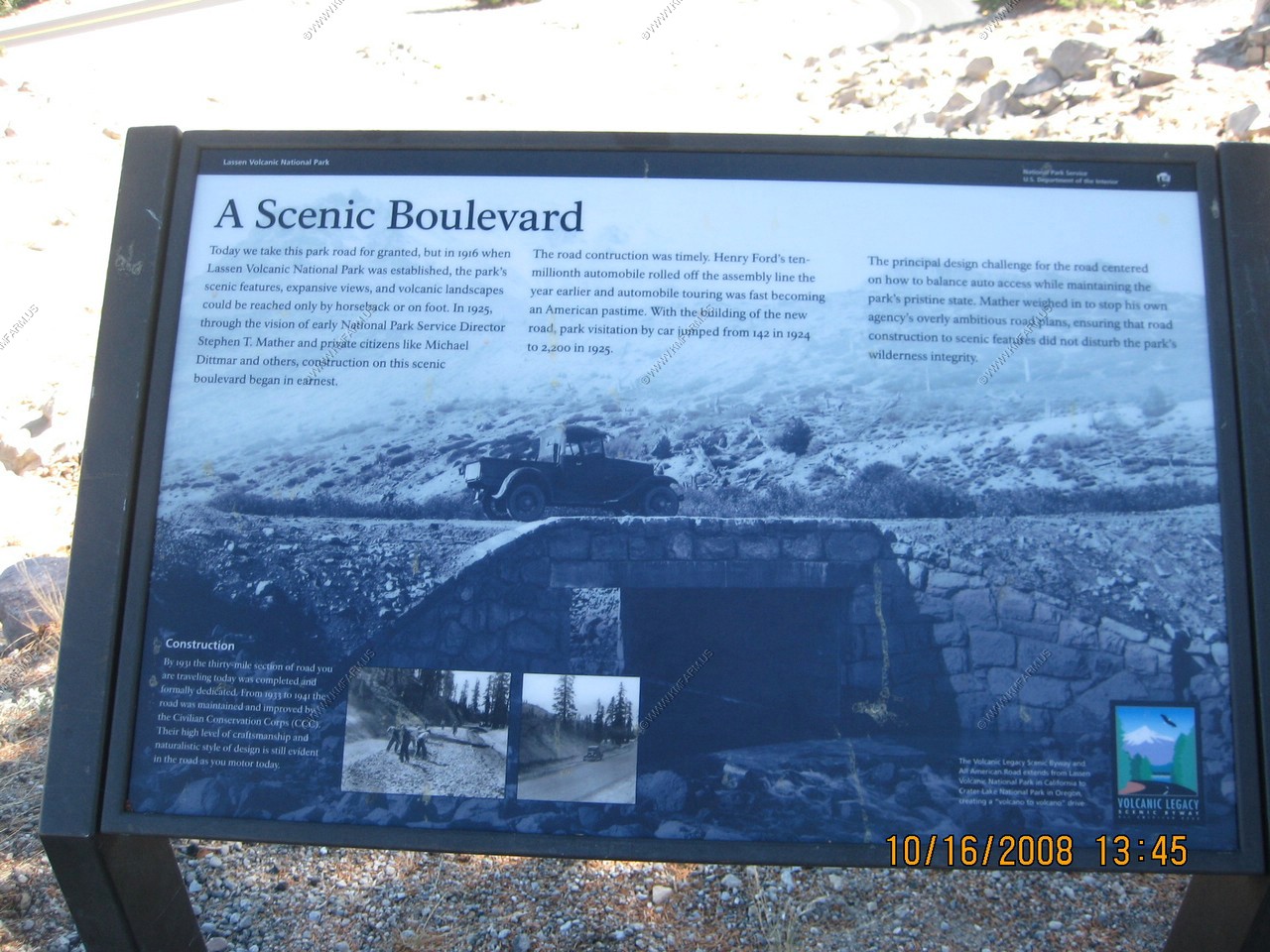
Lassen Volcanic was established as a national park 09 Aug 1916 because of its significance as an active volcanic landscape. Lassen
Peak began erupting in 1914, had the most significant activity in 1915, and had minor activity until 1921. All four types of volcanoes
in the world are found in Lassen's 106,000 acres. Nestled within Lassen's peaceful forests and untouched wilderness, hissing fumaroles
and boiling mud pots still shape and change the land, evidence of Lassen's long fiery and active past.
We walked through a lava tube near Lassen called Subway Cave. A flashlight is needed!
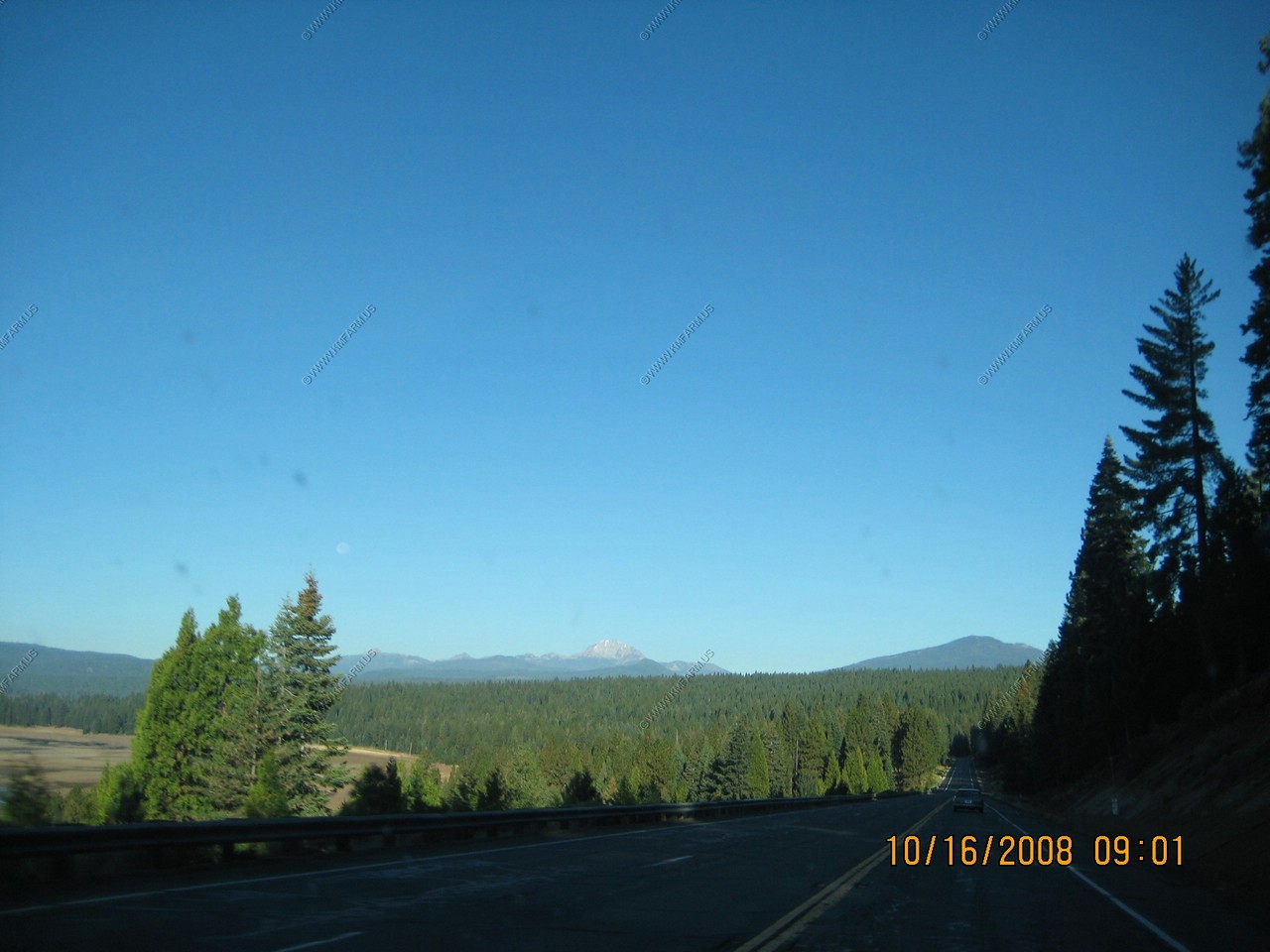
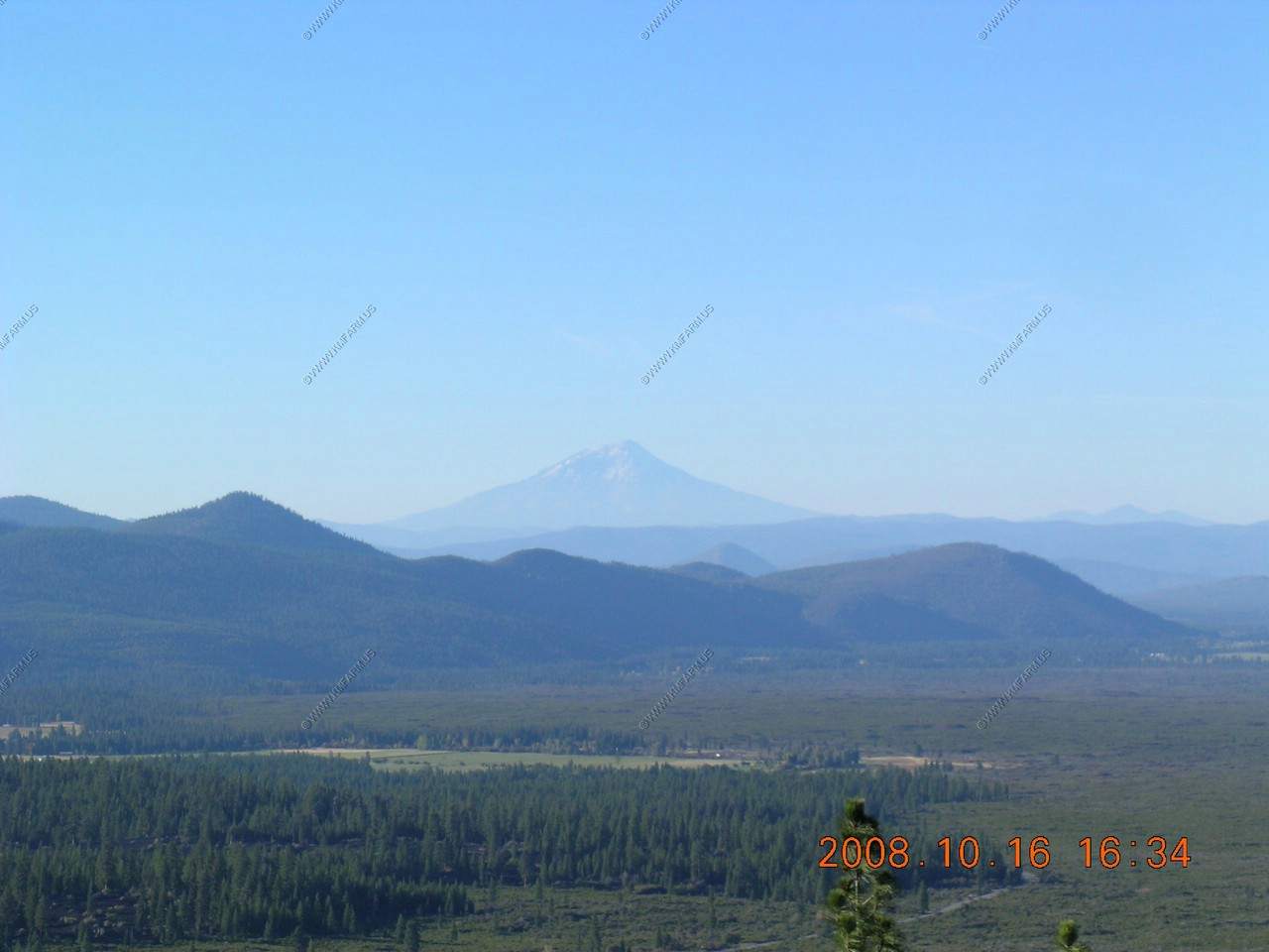
We went to an overlook near the Subway Cave and saw snowcapped Mt. Shasta at 14,182 ft, 85 miles away. Scientists think that
Lassen Volcanic National Park and Mount Shasta are the most likely candidates in the Cascades to join Mount Saint Helens as active volcanoes.
We ate at Black Bear diner for dinner and it was very good. And back to the Super-8 in Susanville, CA to a evening with no Internet.
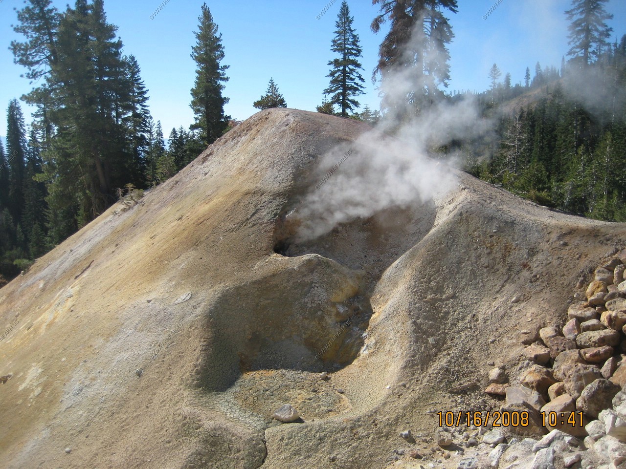
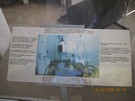
(PDF) USGS-"Hot Water" in Lassen Volcanic National Park - Fumaroles, Steaming Ground, and Boiling Mudpots
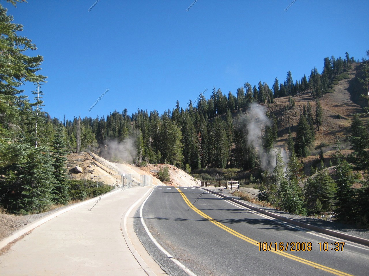
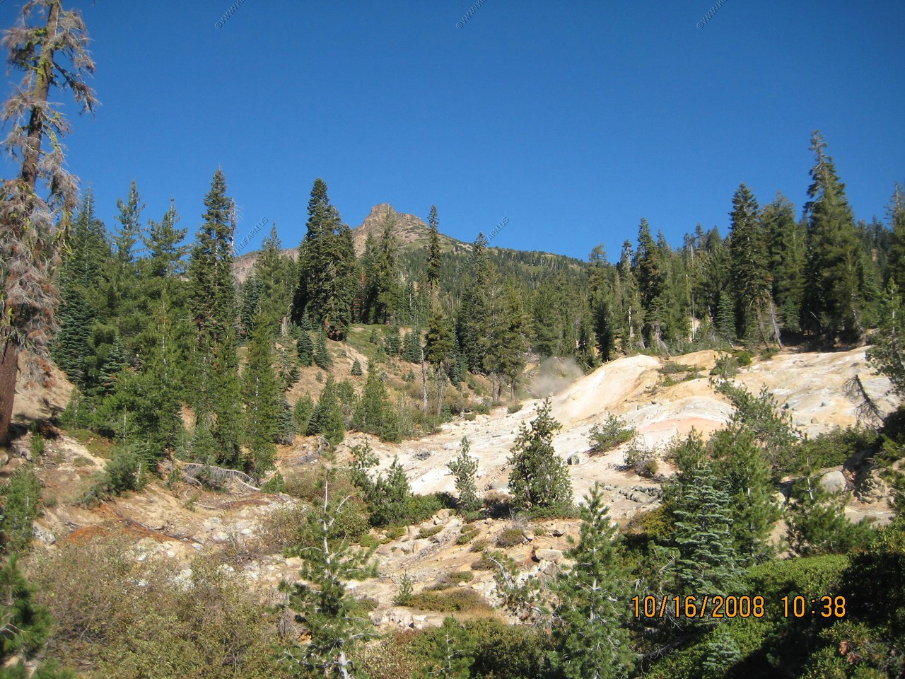
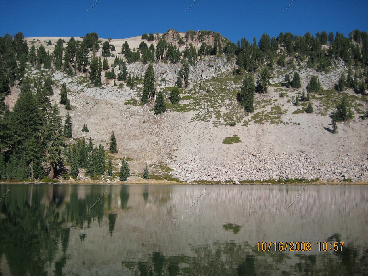
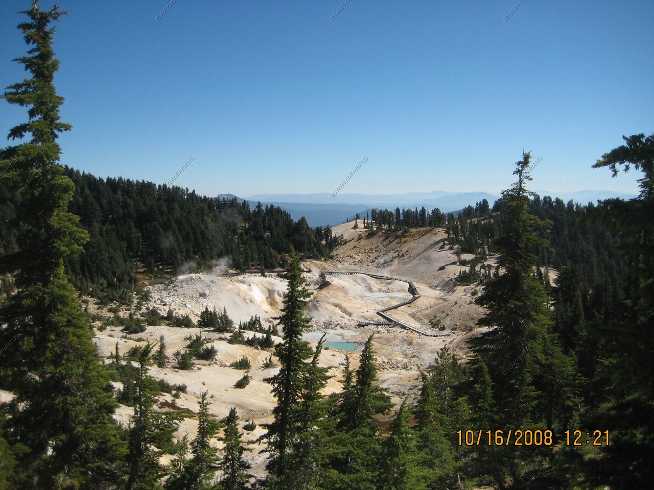
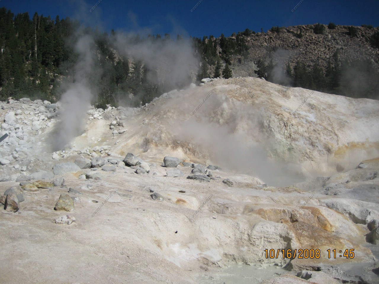
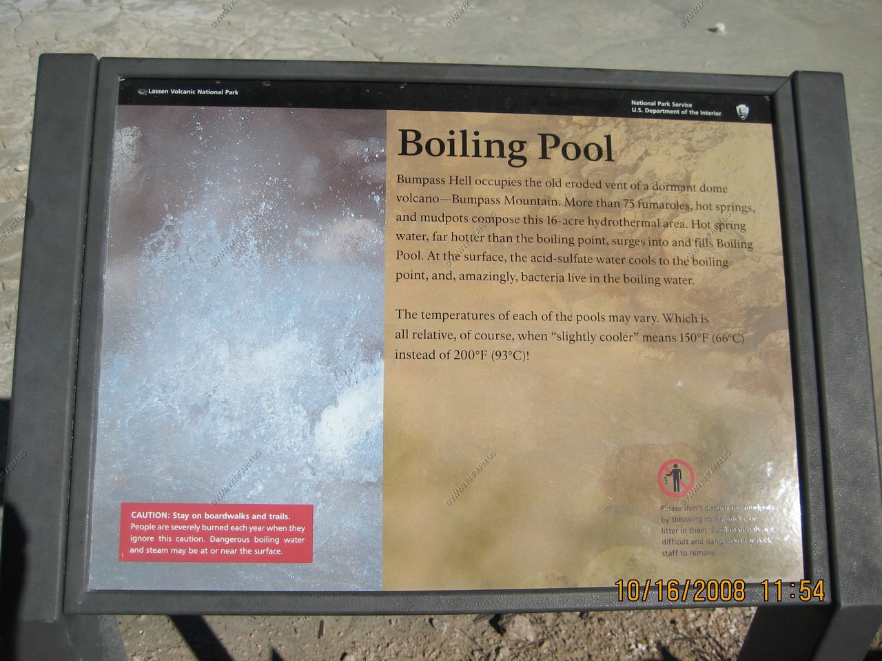
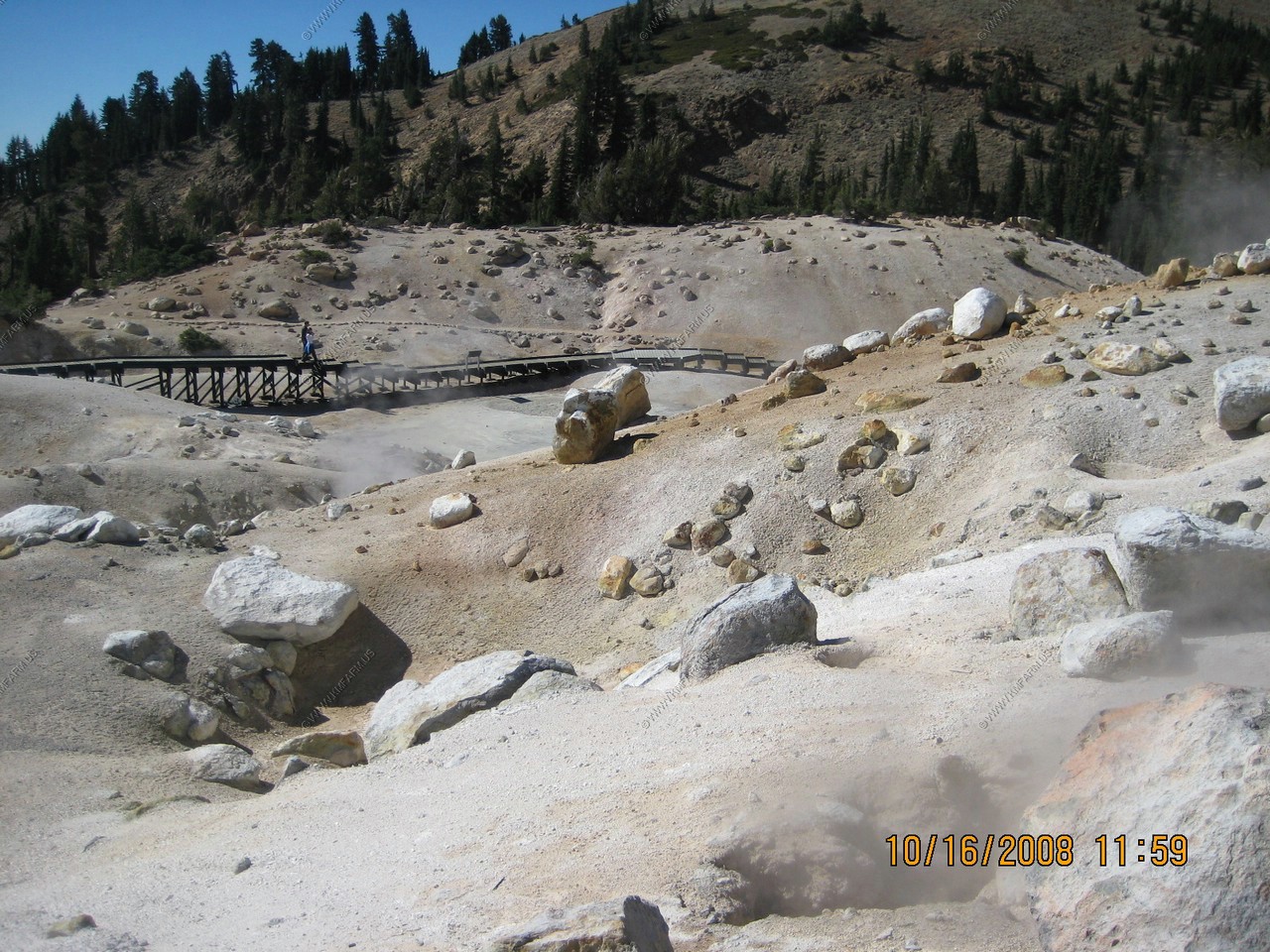
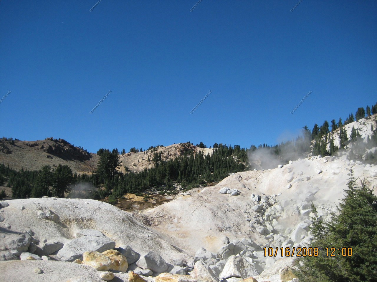
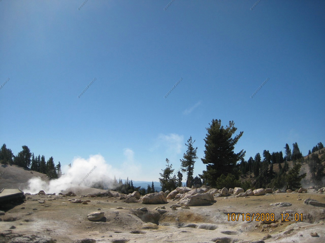
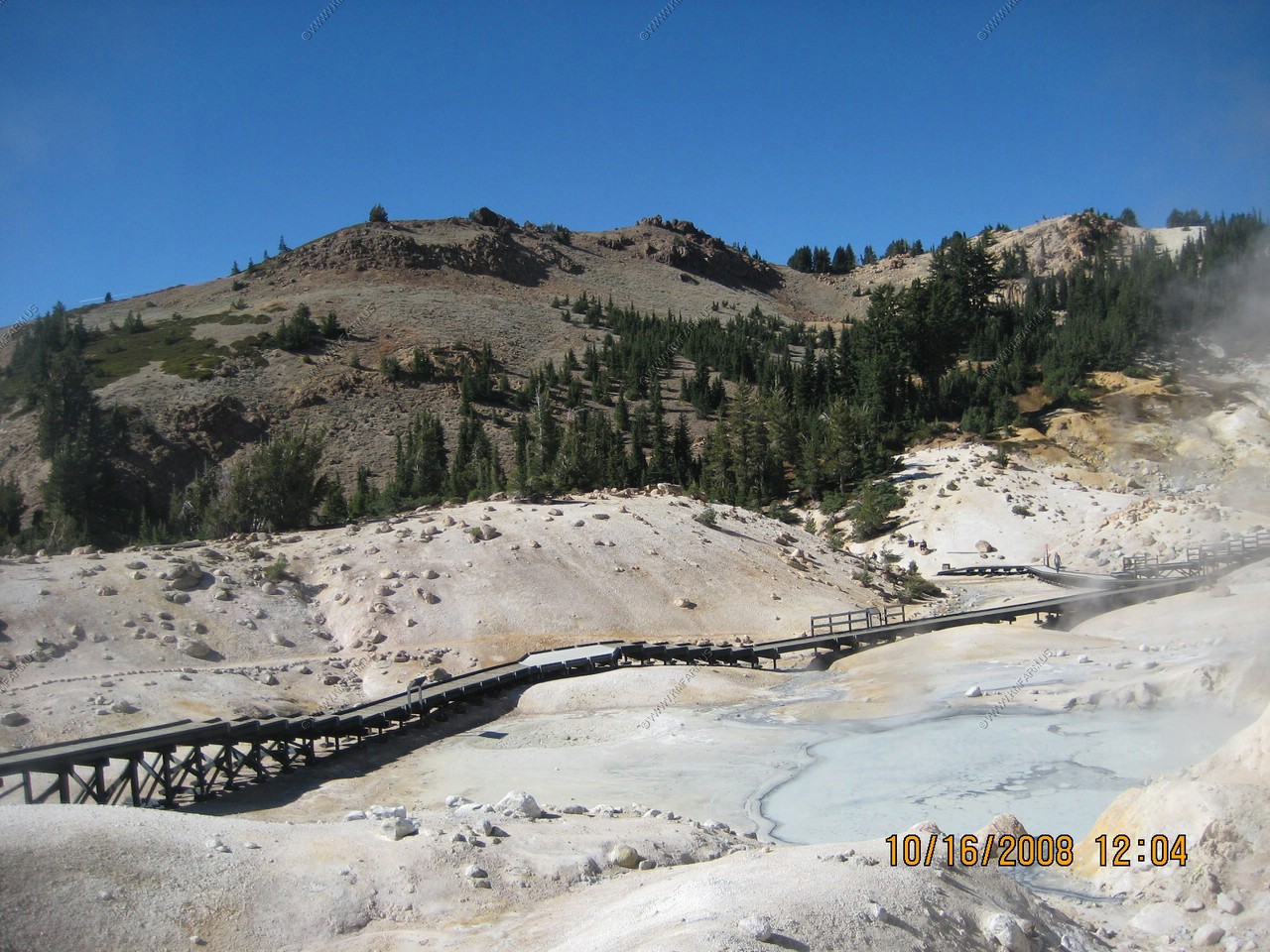
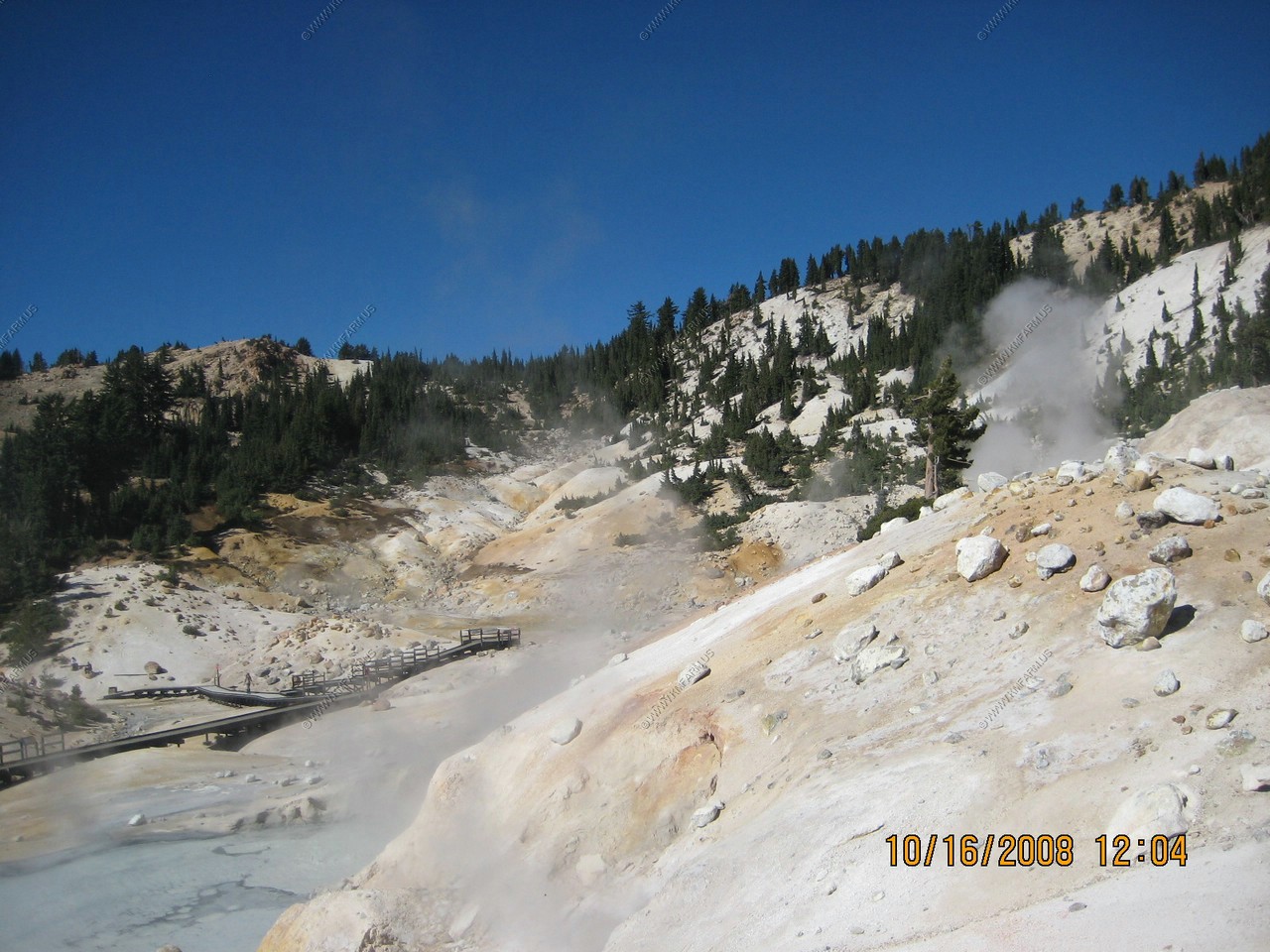
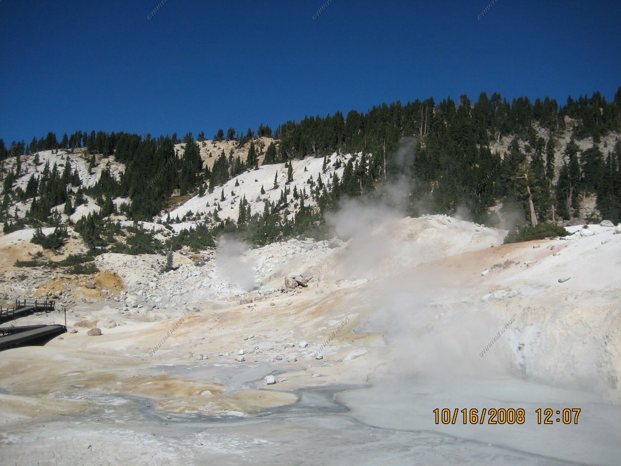
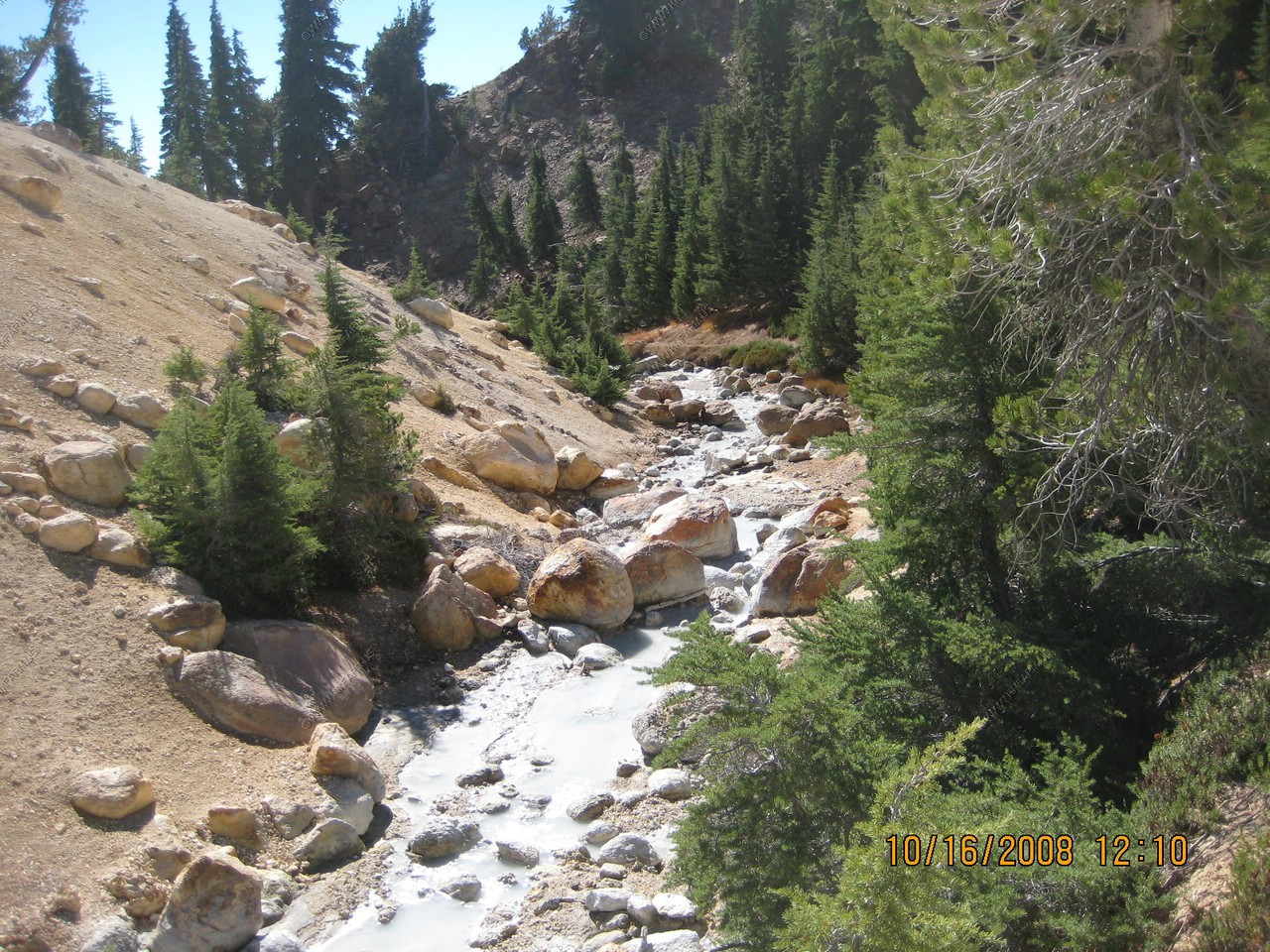
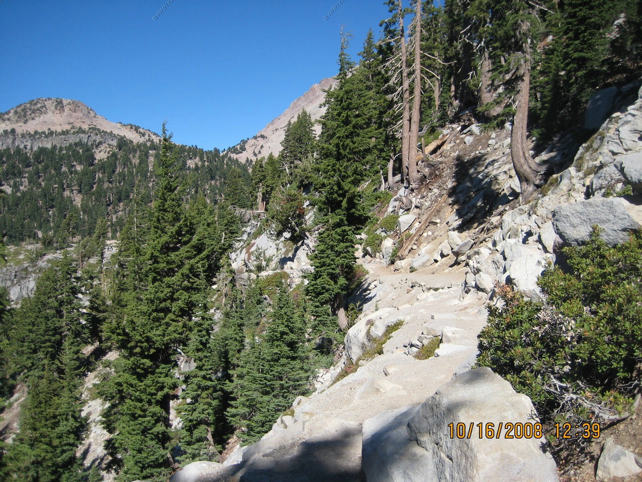
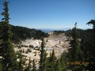
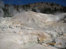
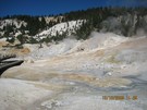
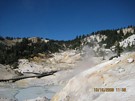
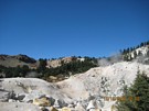
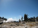
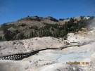
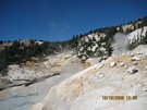
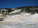
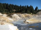
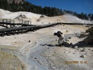
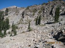
This three - mile round trip hike leads to Bumpass Hell, the largest upward-flowing hydrothermal feature in the park. All of Lassen Volcanic
National Park's hydrothermal features eminate from one heat source - the same magma system that fed Lassen Peak's 1914-1921 eruptions.
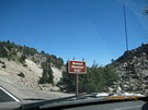
On the sign, the hike climb information is wrong. (going in is easy. Out is a bitch ! The correct elevation info is below)
This moderate hike gradually climbs 250 feet within the first mile and then to descends 500 feet into Bumpass Hell. There you can experience
up close the workings of steam vents, mud pots, and boiling Springs, which testify that volcanoes in the park are not dead, just resting.
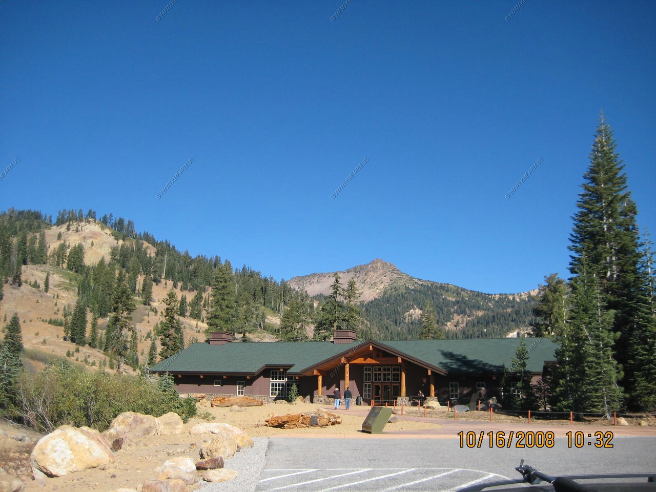
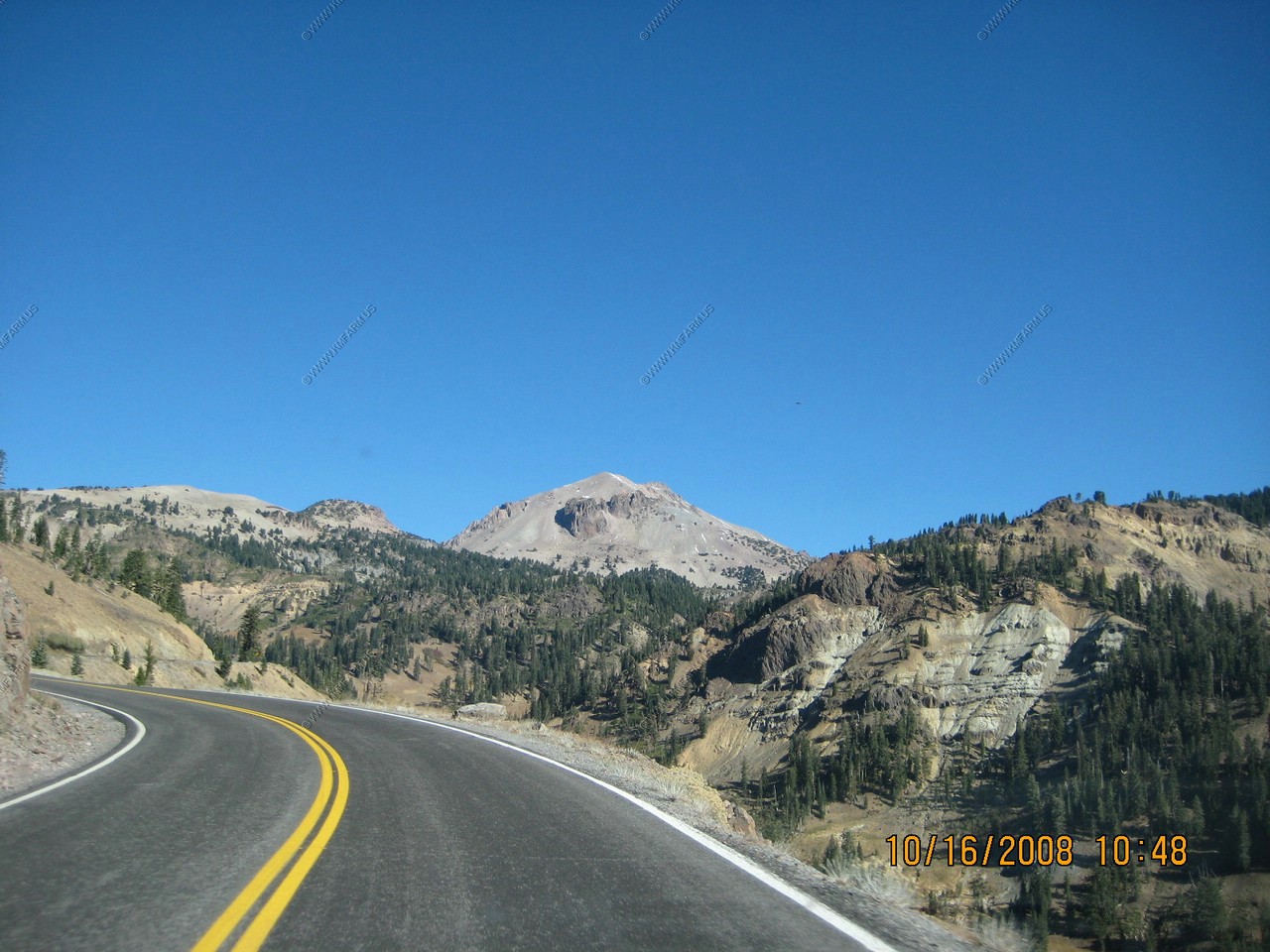
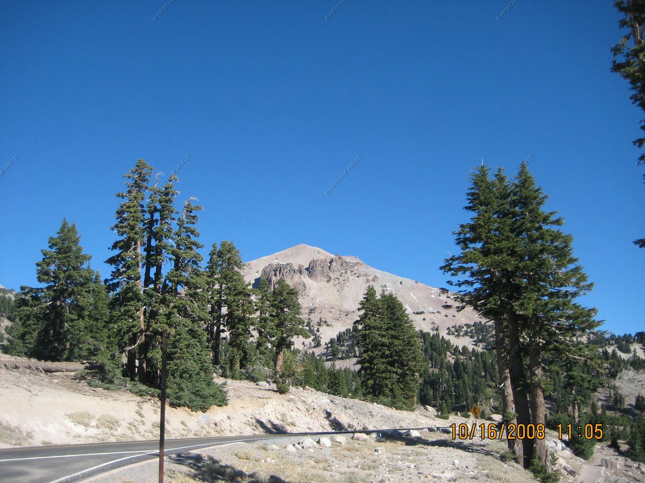
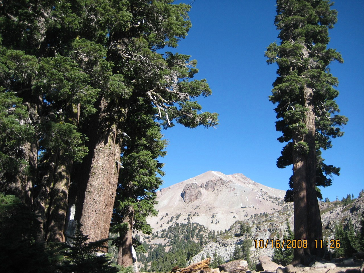
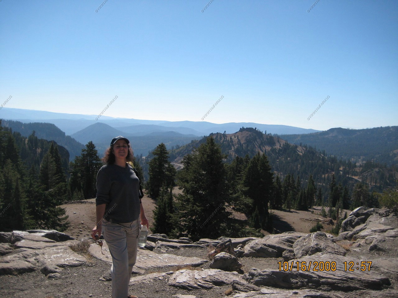
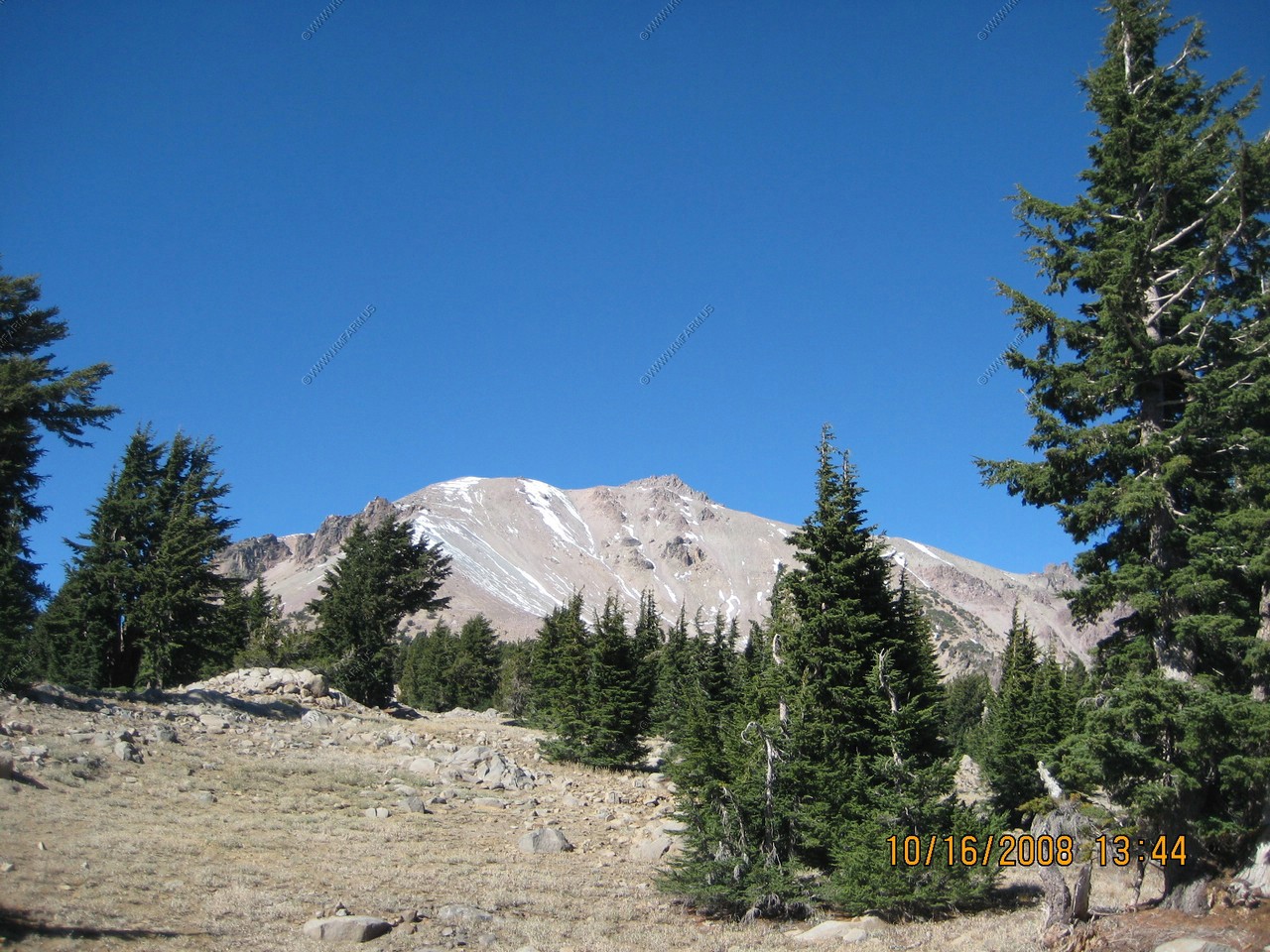
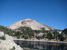
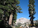
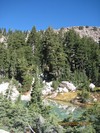
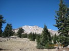
View of Lassen Peak (El. 10,457) from the Bumpass Hell Parking lot.
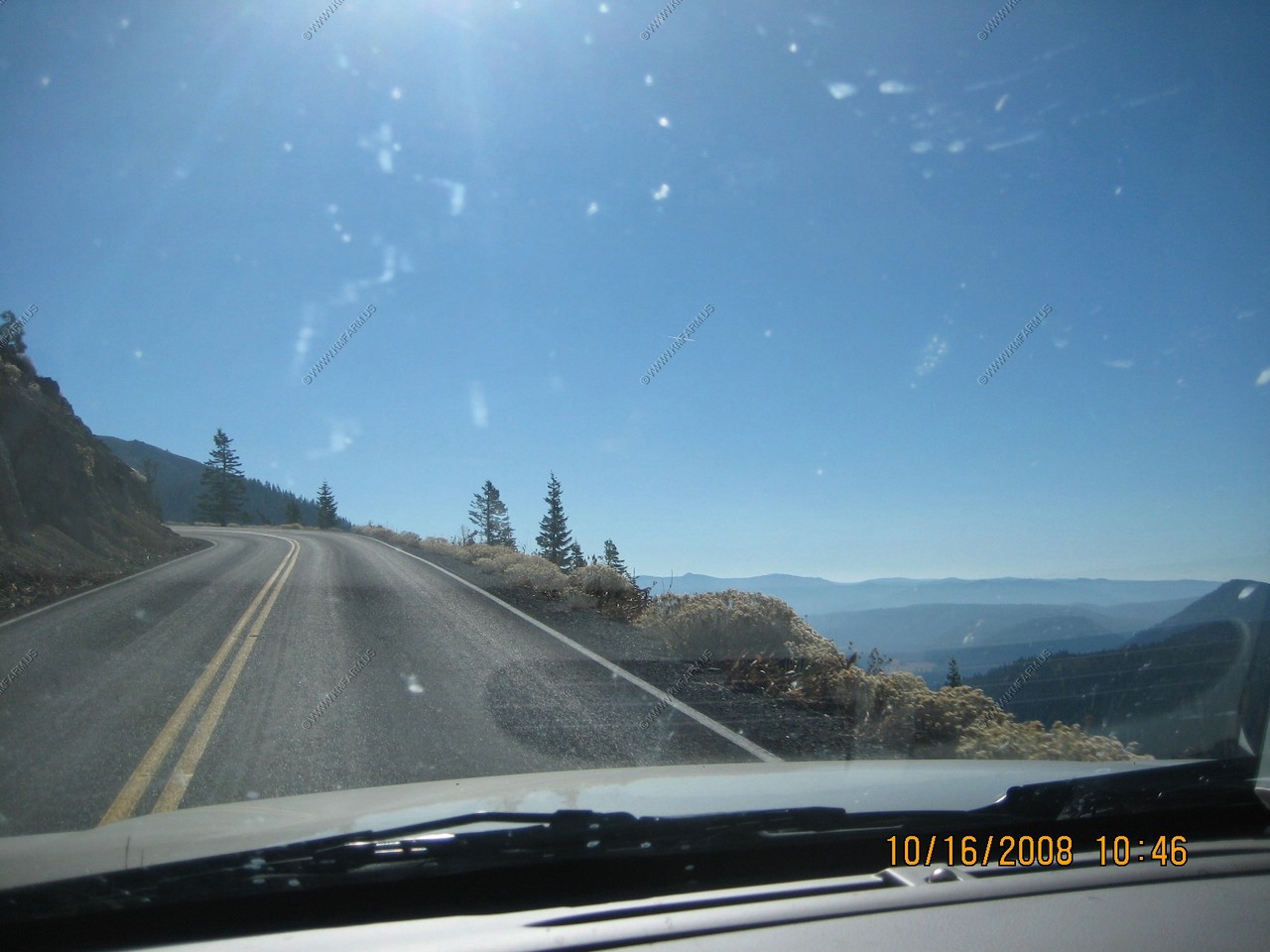
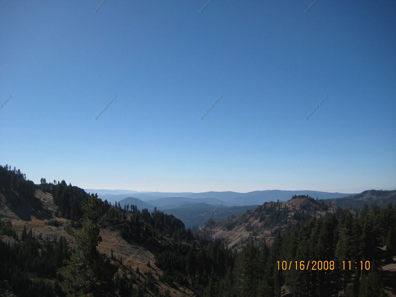
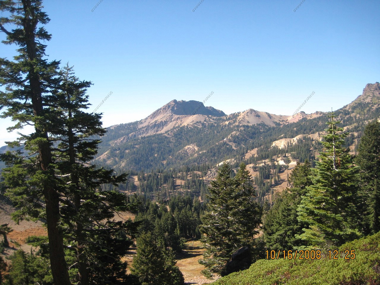
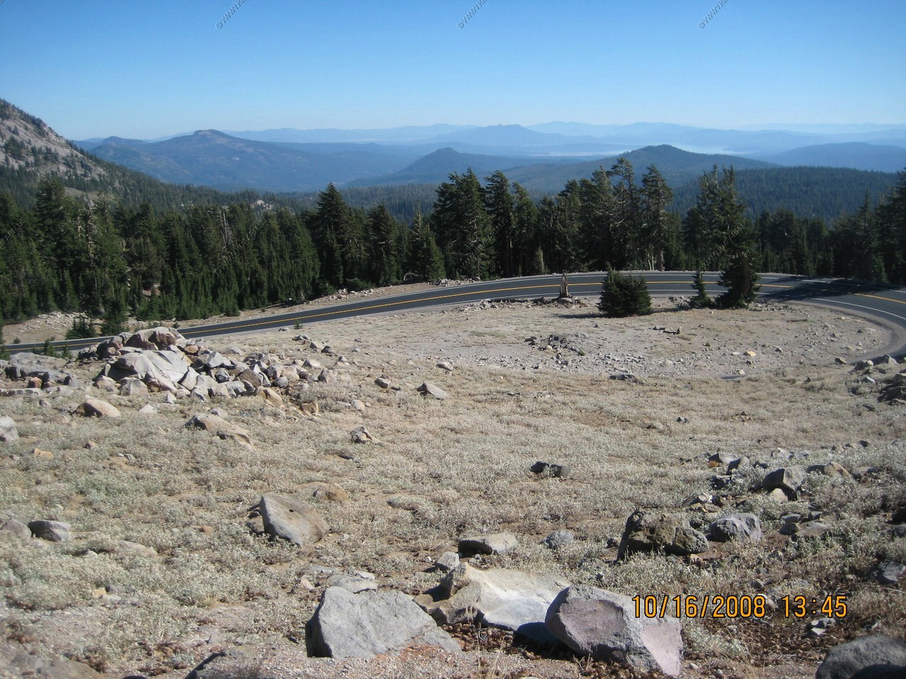
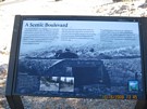
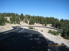
Looking south at the road we just came up on
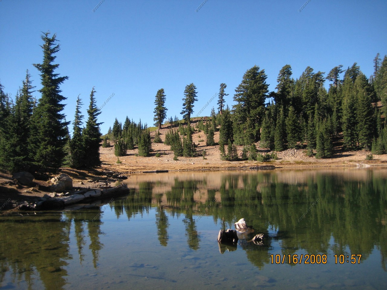
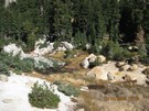
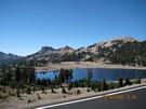
Lake Helen from the Bumpass Trail
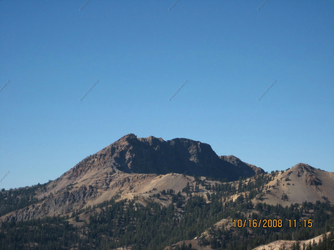
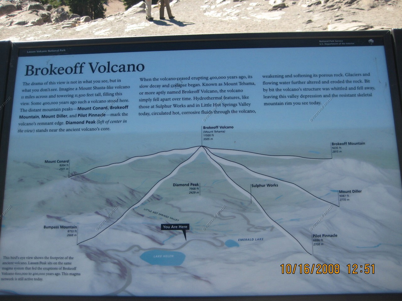
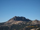
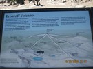
Brokeoff Mountain (El. 9,235) This was part of a much larger Mt. Tehama (El. 11,500) 2 million years ago.
View of Lassen Peak from along the Bumpass Hell trail.
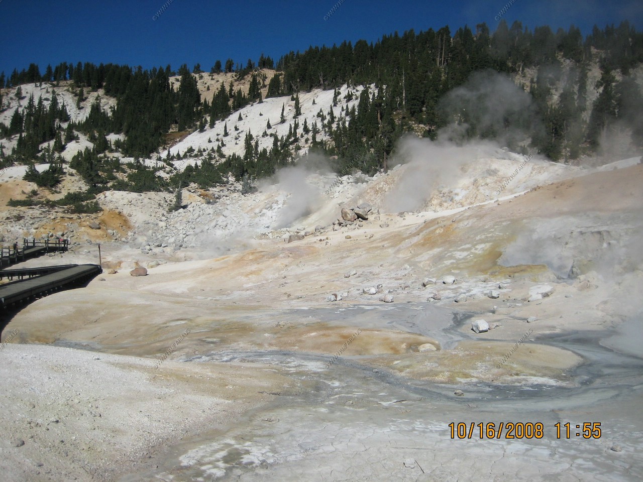
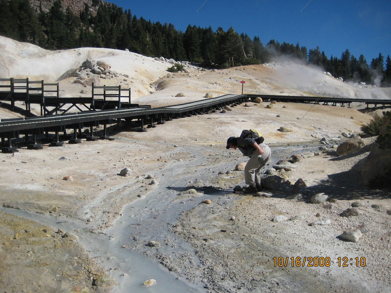
Finally we reach Bumpass Hell. It got its name from in 1865, a pioneer named Kendall Vanhook Bumpass, who had discovered the site the year before,
guided a newspaper editor interested in covering it. While showing off his discovery, Bumpass stepped on what looked to be ground but was really
only a thin crust covering boiling liquid. The crust broke, his leg plunged through into the scalding muck, and his injuries were so severe his
limb had to be amputated. Afterward, he reportedly said, "The descent to hell is easy."
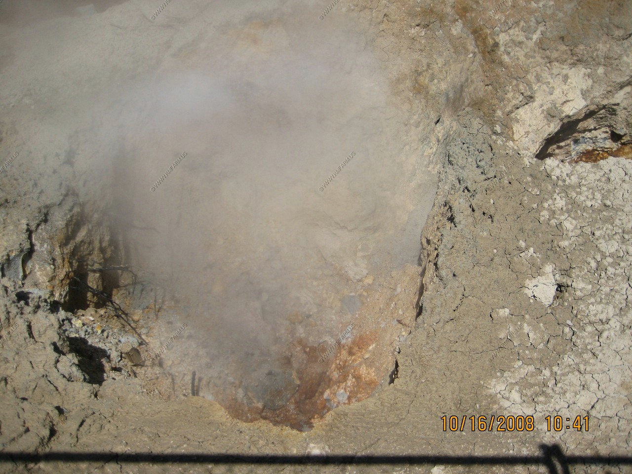
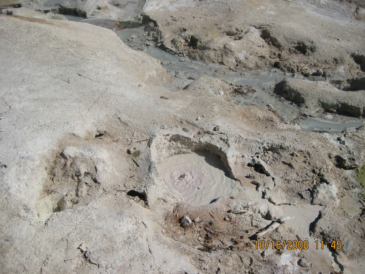
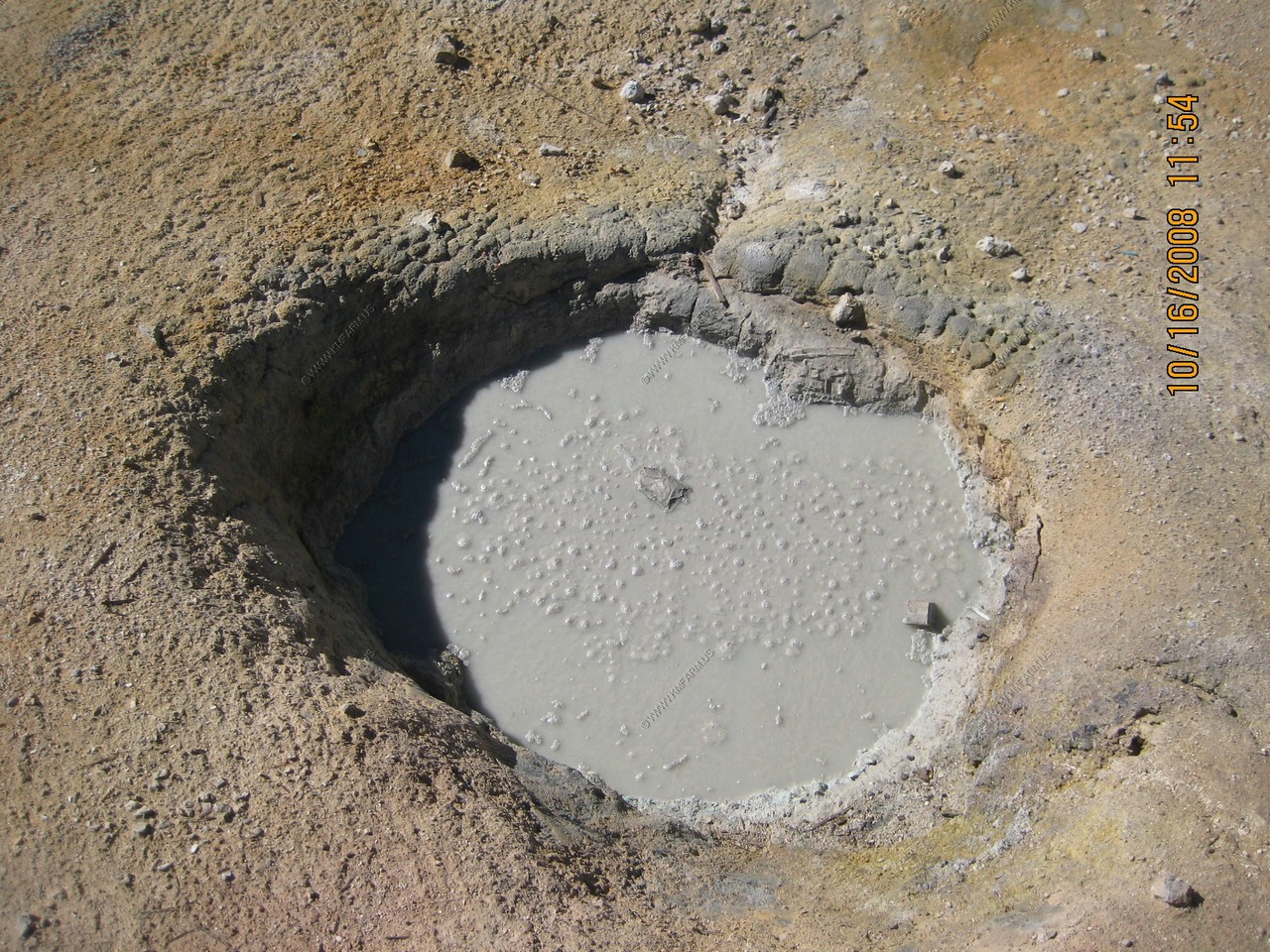
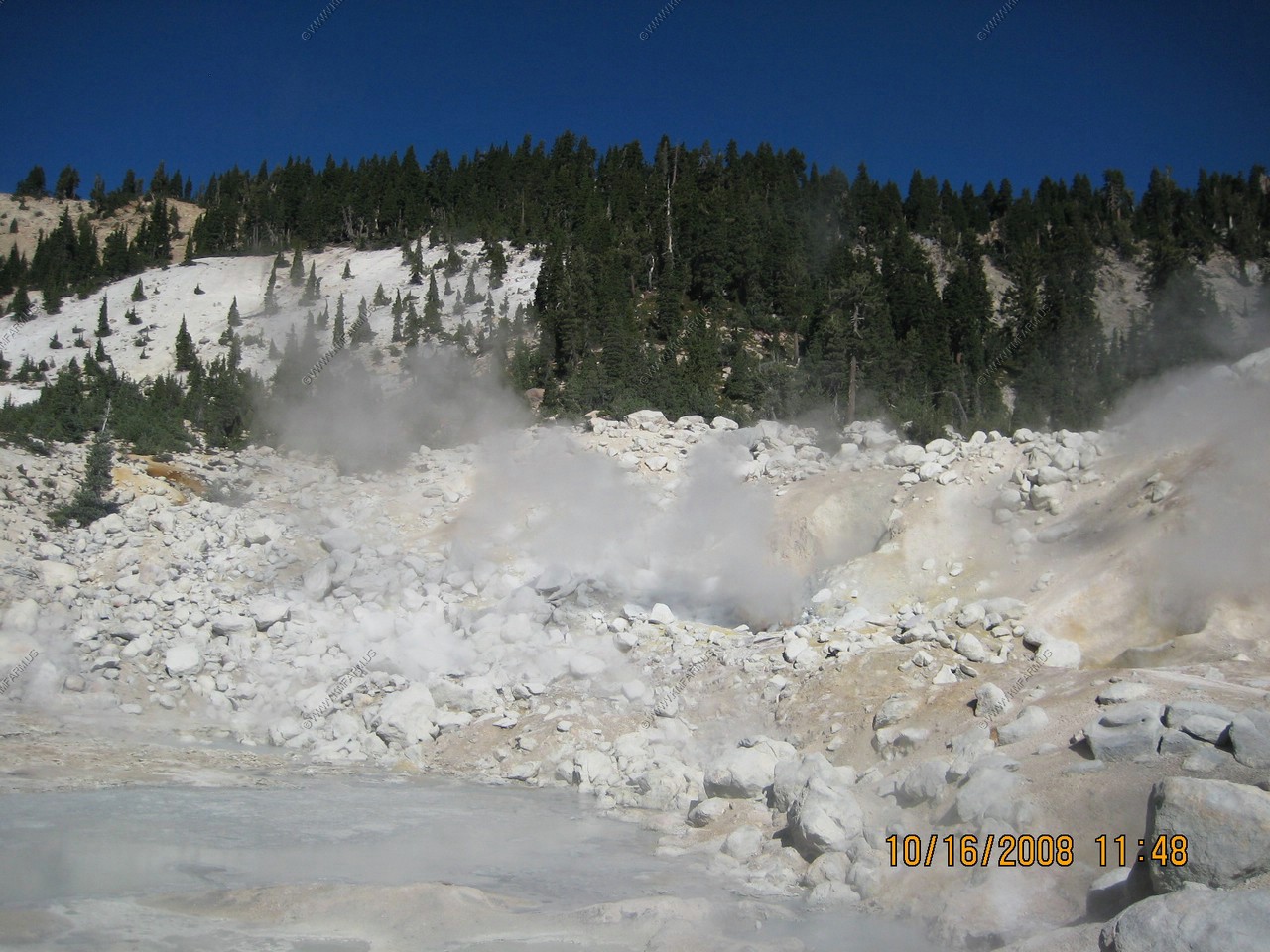
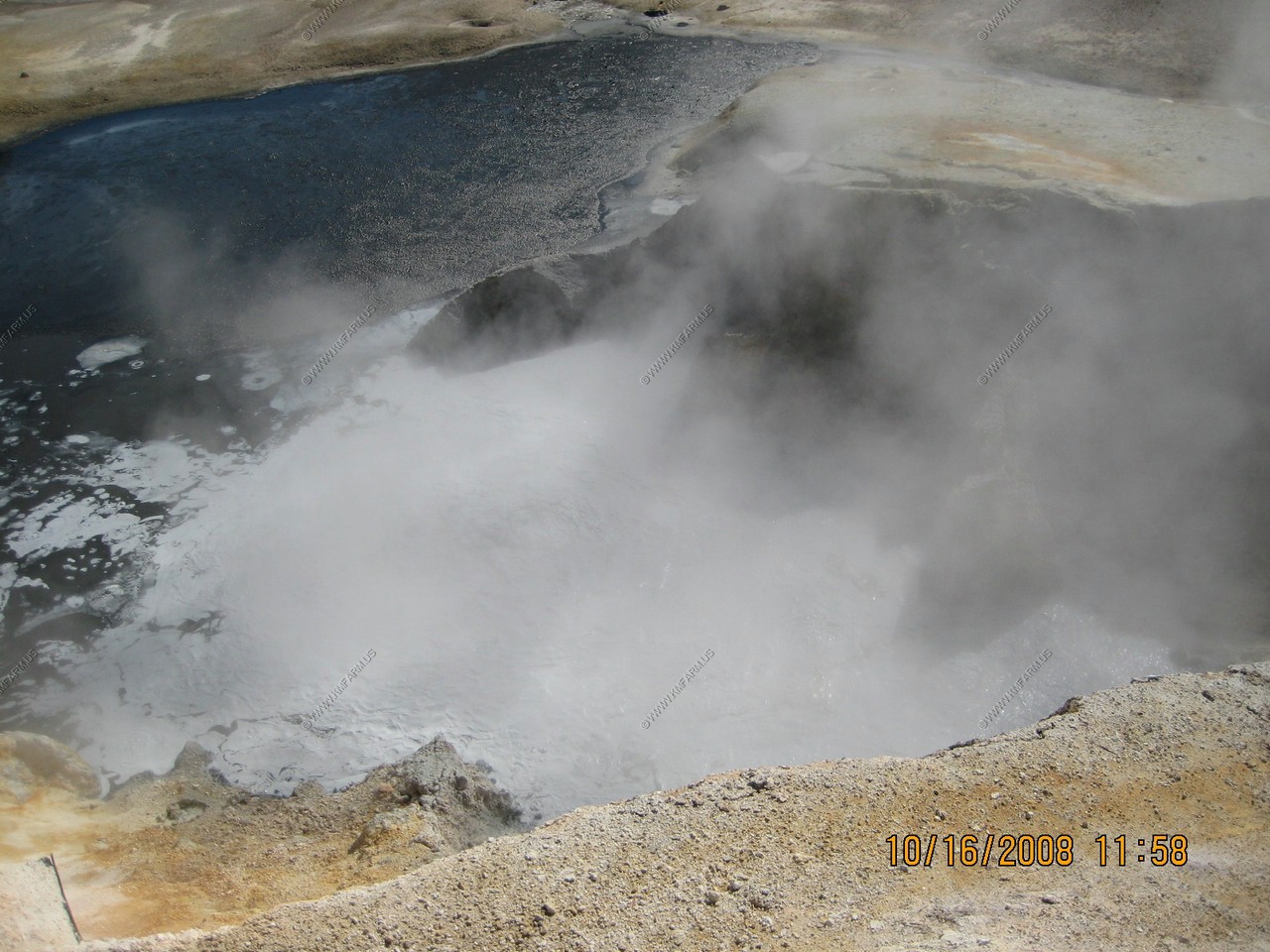
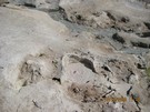
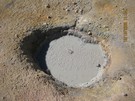
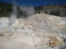
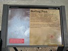
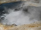
Mud pots. A mudpot is the intermediate phase between a fumarole (steam vent) and a boiling spring. It has less water than a boiling spring,
but more than a fumarole. In wet years a mudpot can become saturated, allowing the sediment to thin and settle, forming a boiling spring.
Whereas during drier years, a mudpot can dry up, harden, and emit steam as a fumarole.
It was nice to see that people tossed stuff into the mudpot ! As I always say, it should cost more to get into the parks to keep the scum out !
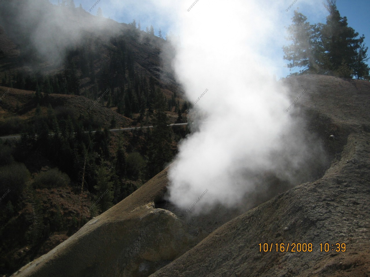
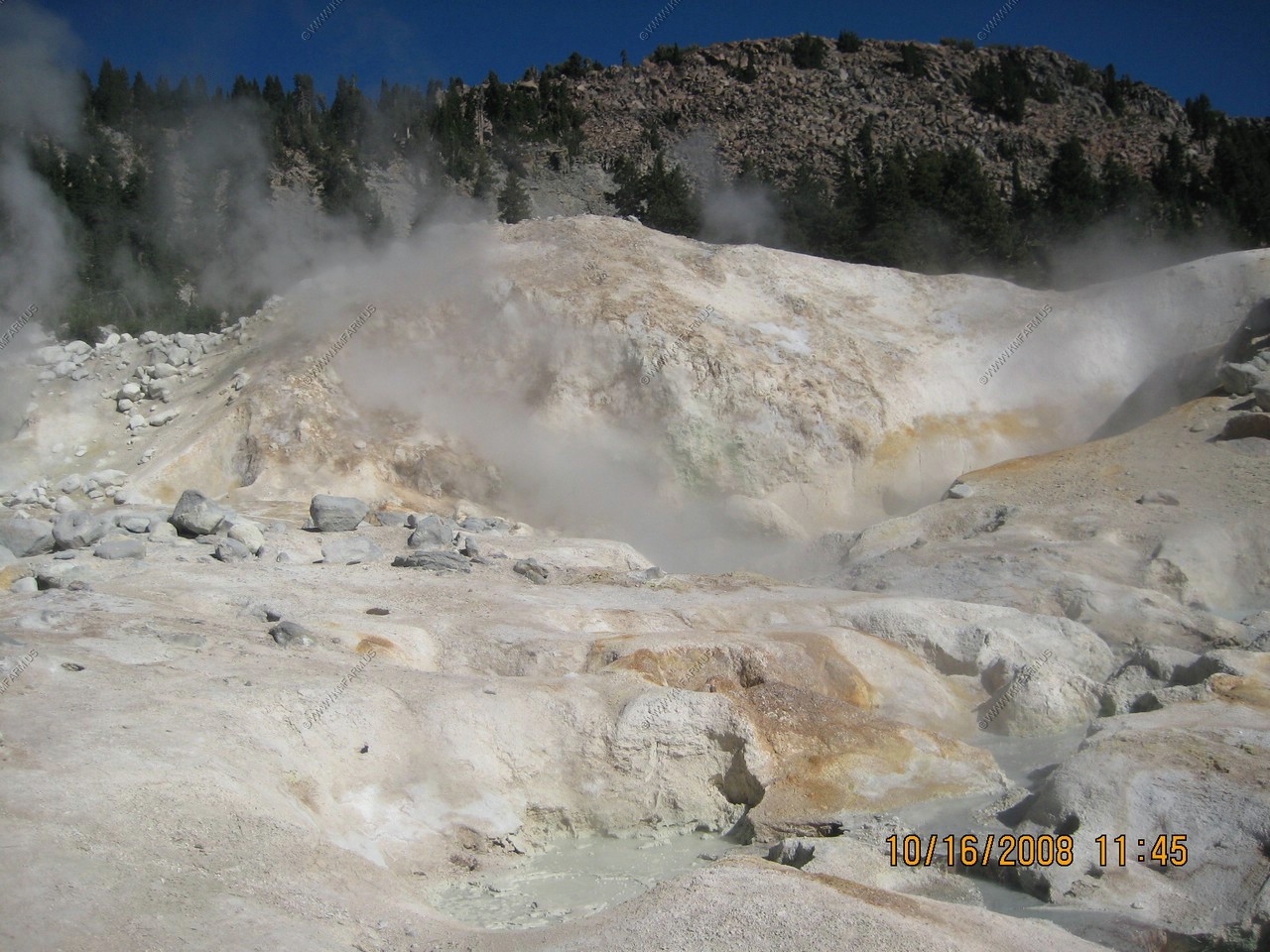
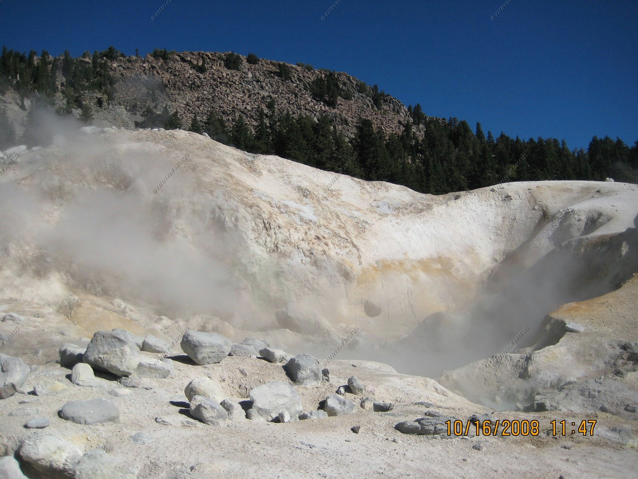
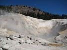
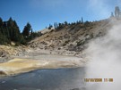
Big Boiler is the hottest fumarole within a non-erupting volcano in the world. The steam temperatures measured here
reach as high as 322 degrees.
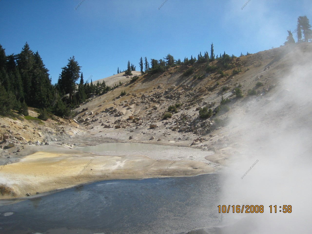
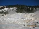
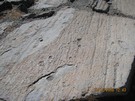
Various views. We were not really sure what we were looking at.


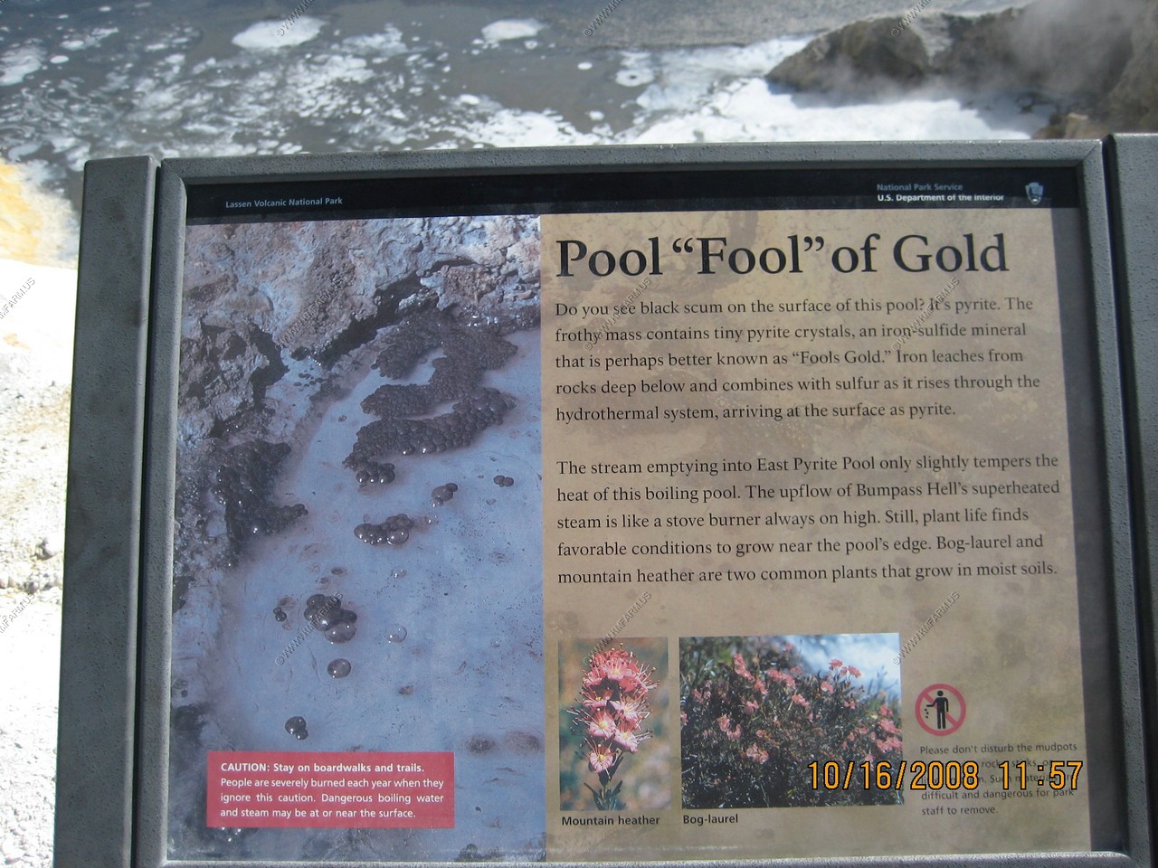
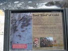
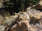
Pool of "Fools" gold !
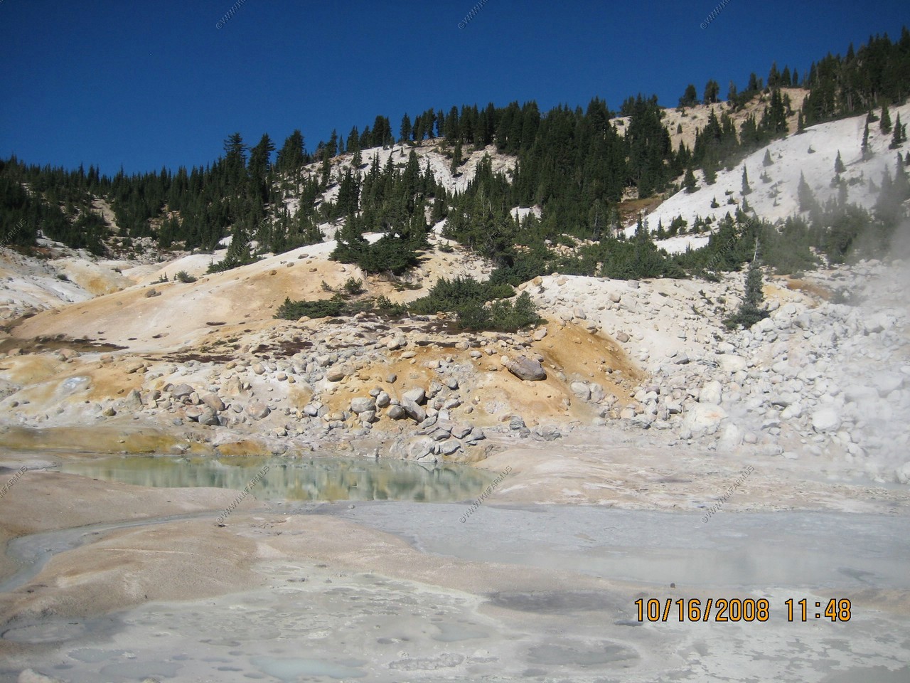
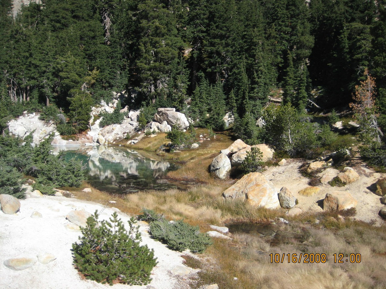
Cool non-thermal pool right next to the active ones.
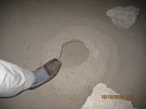
The outflow from hell. Not much. Mary touching to see if it is hot ! It was warm.

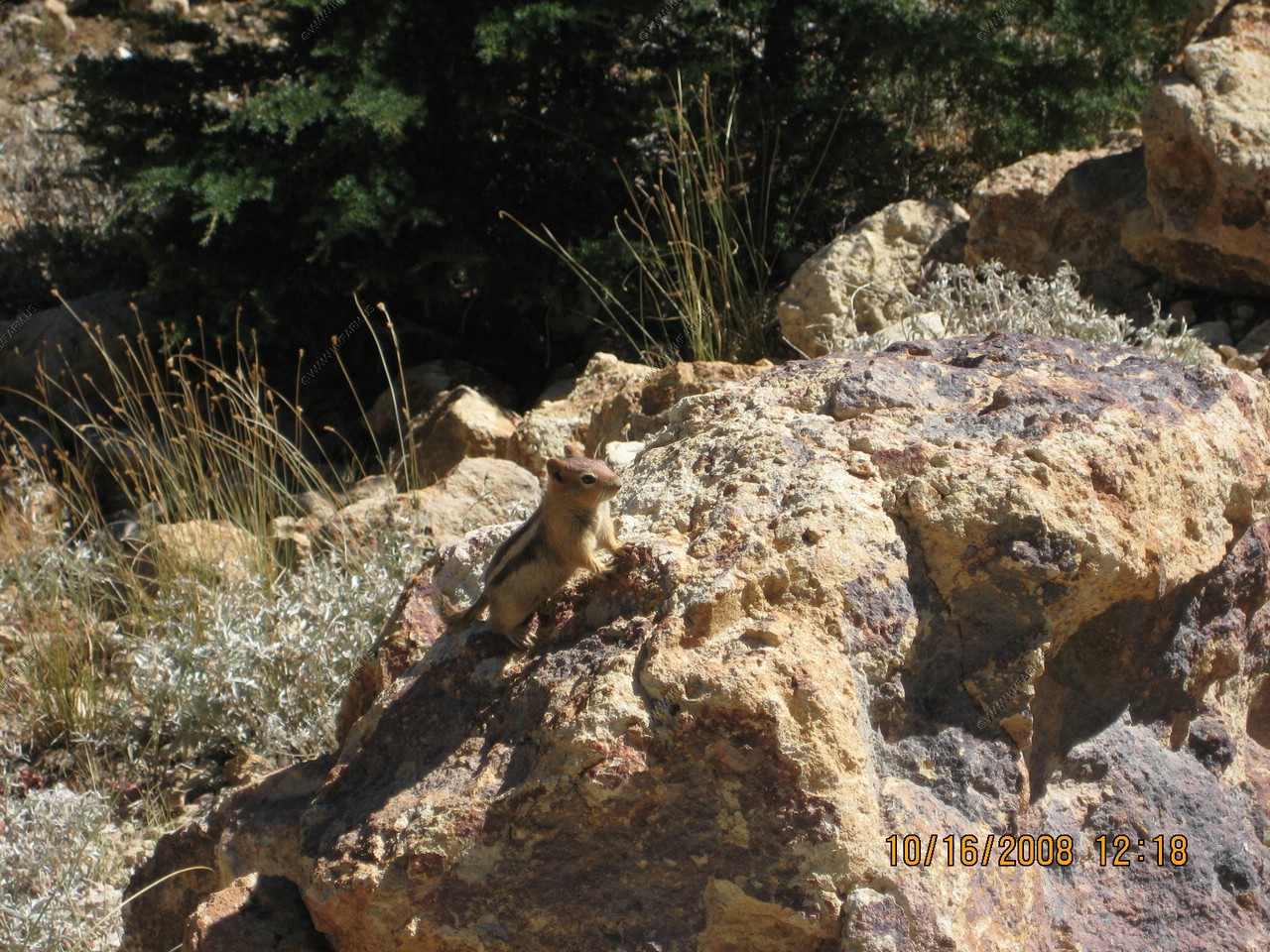
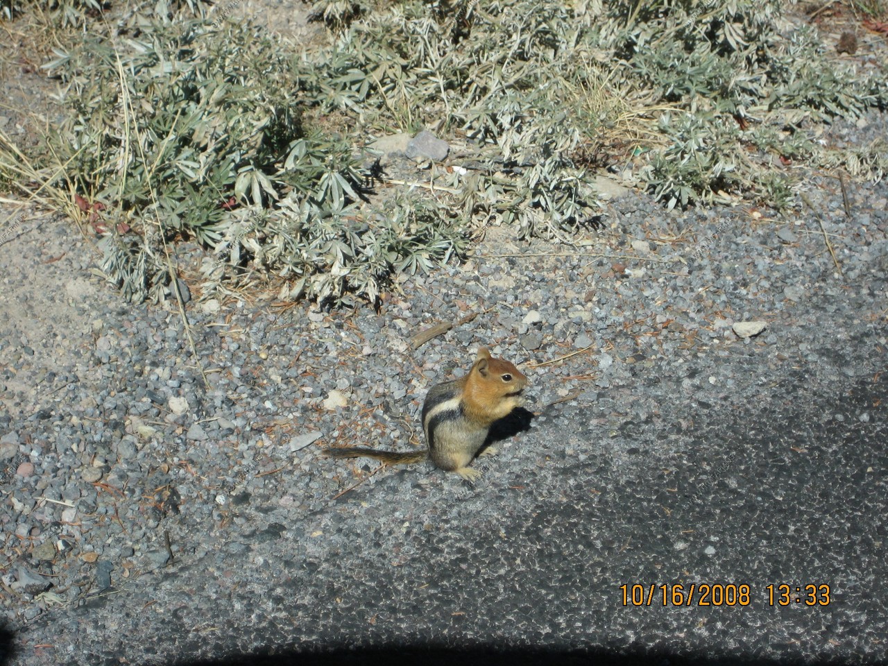
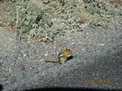
A Golden Mantled Squirrel who picked a warm place to live
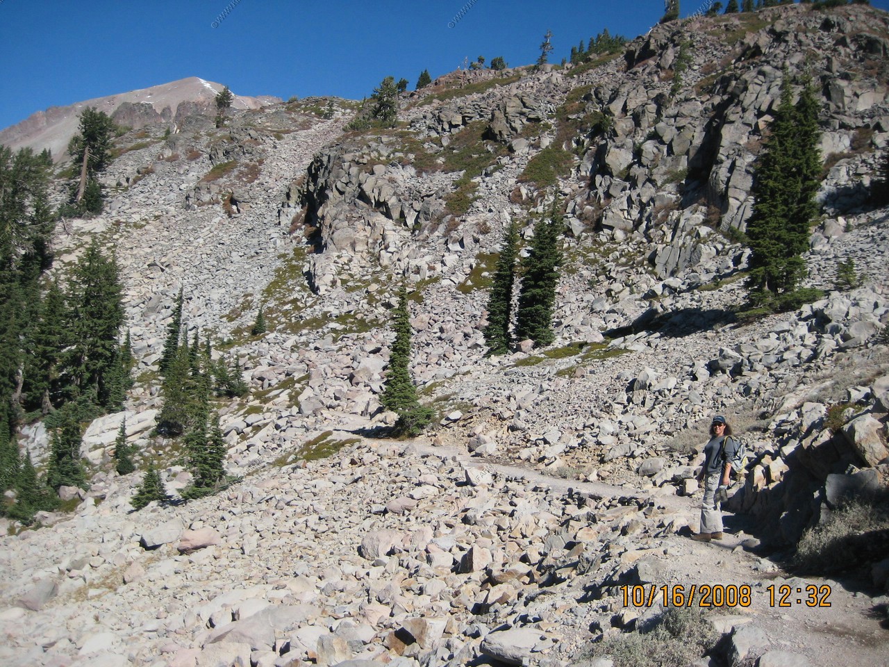
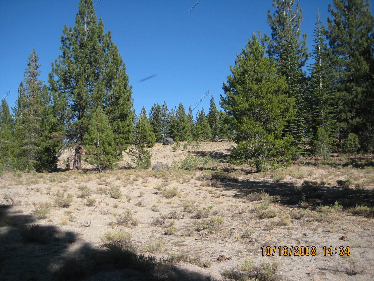
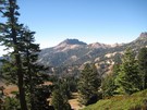
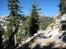
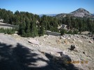
Views along the trail on the hike out.

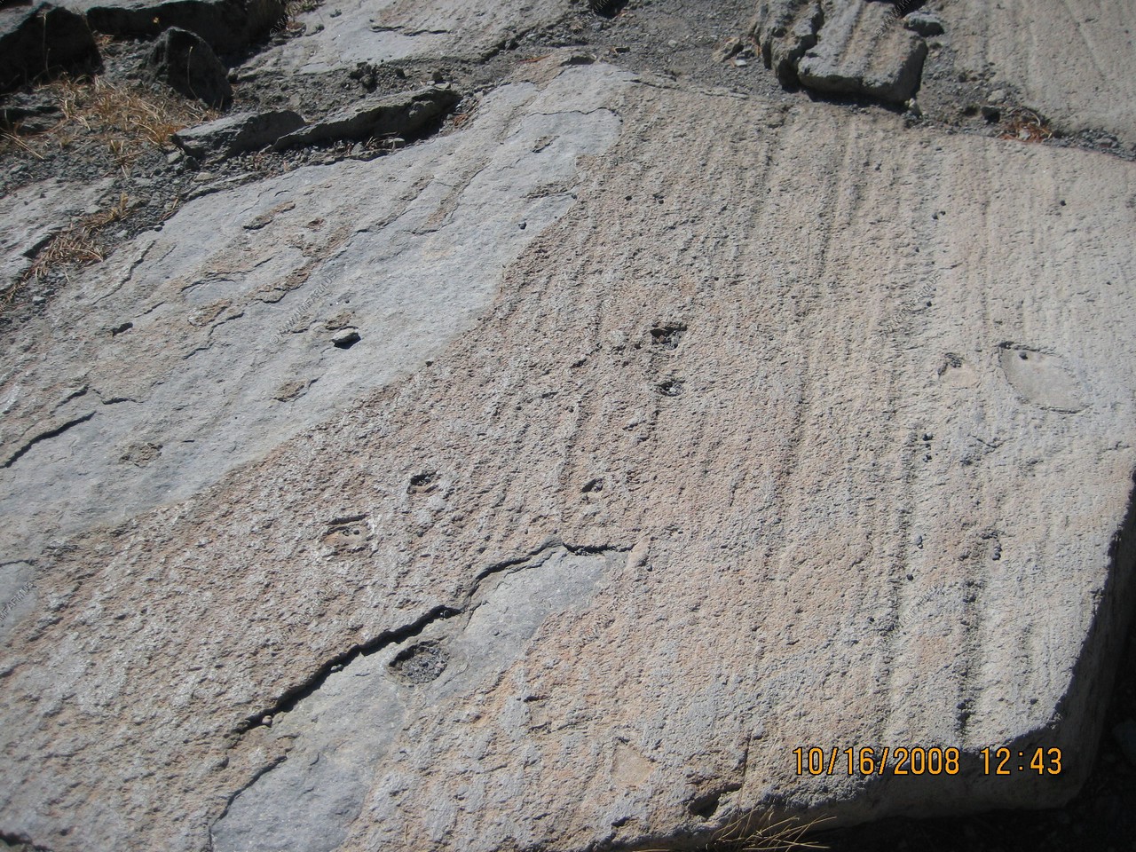
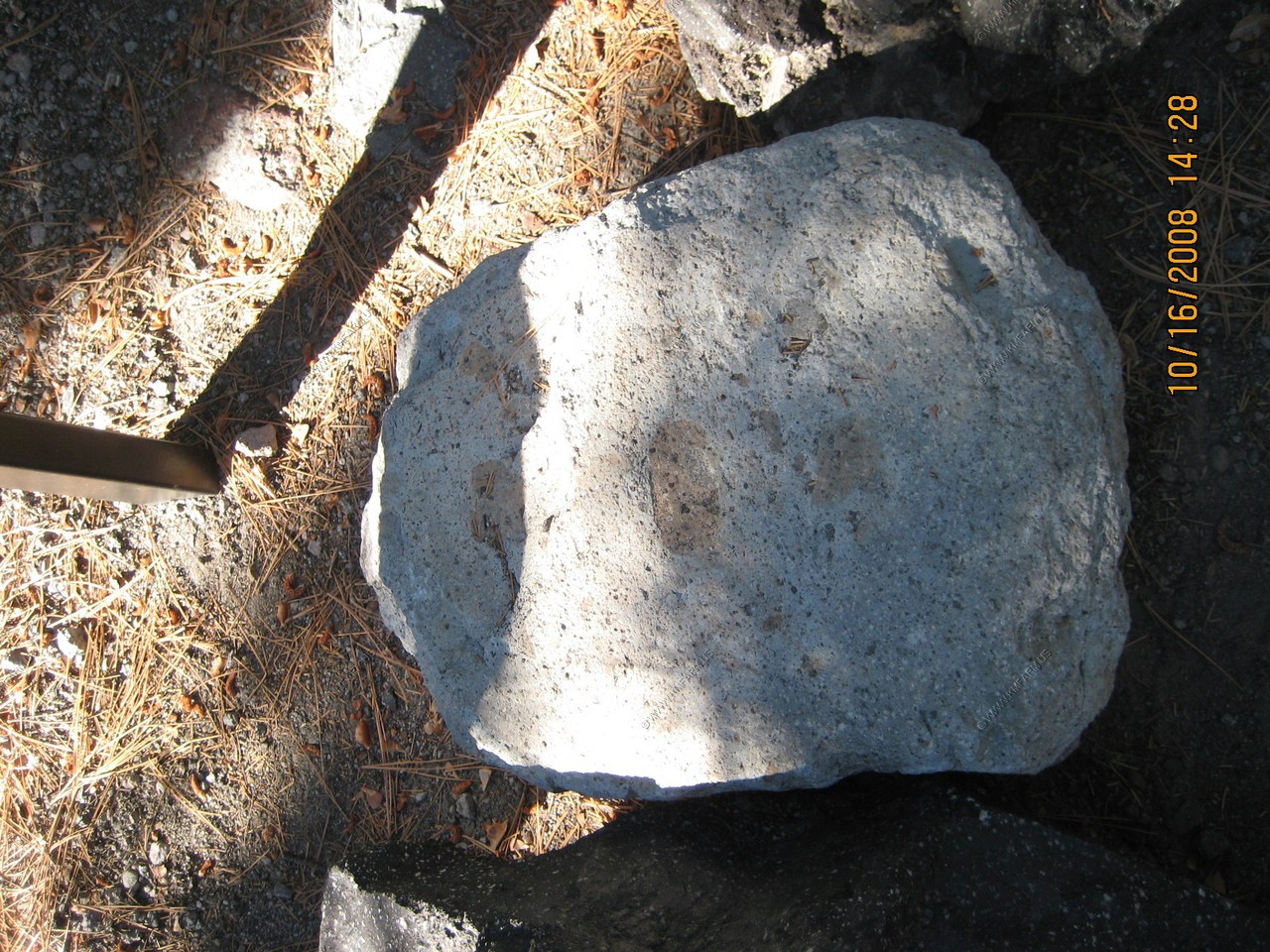
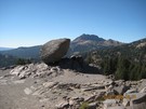
18,000 year old polish from the glaciers. The bolder is a glacial erratic.
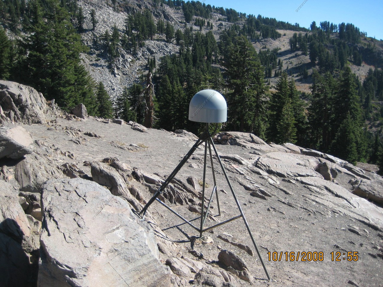
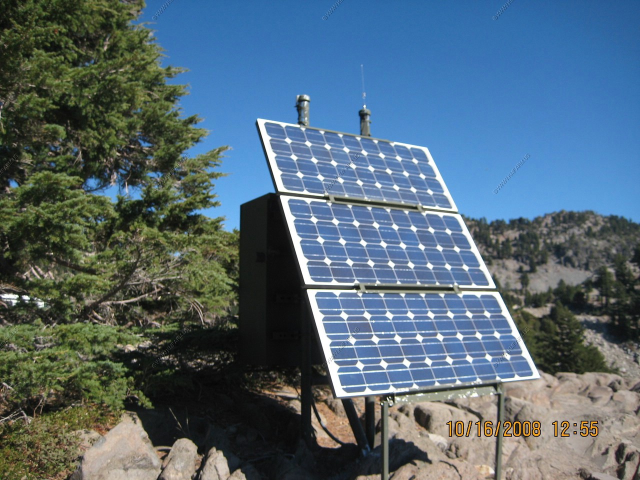
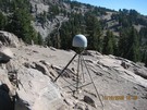
GPS Deformation sensor. Detects uplift of the area.
A Golden Mantled Squirrel enjoying lunch with us
Lake Helen from a different angle
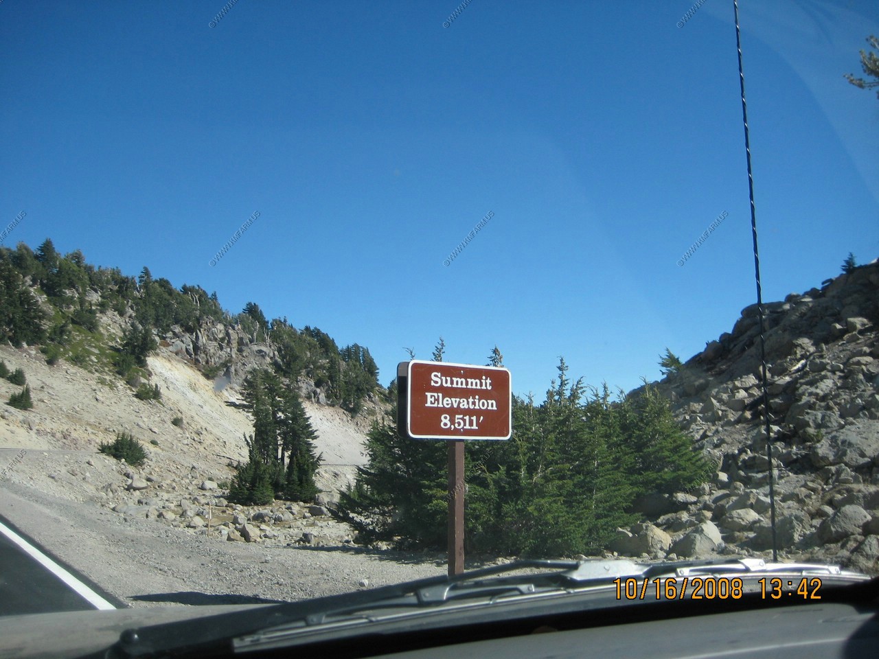
The highest point on the road. El. 8,511 ft. Only 1,946 feet to the top.
Some nice switchbacks heading down from the summit.
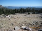
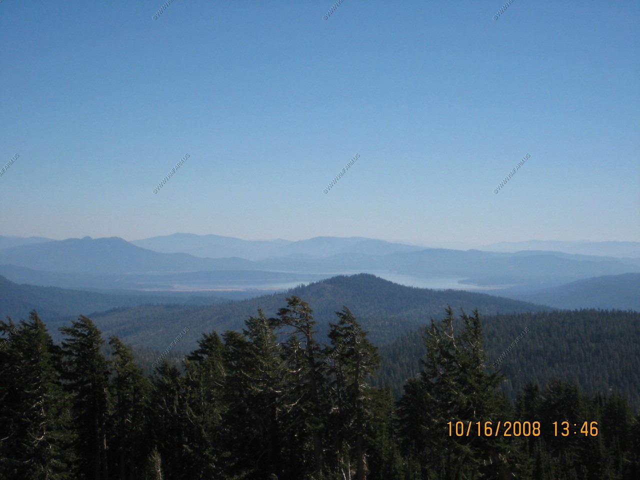
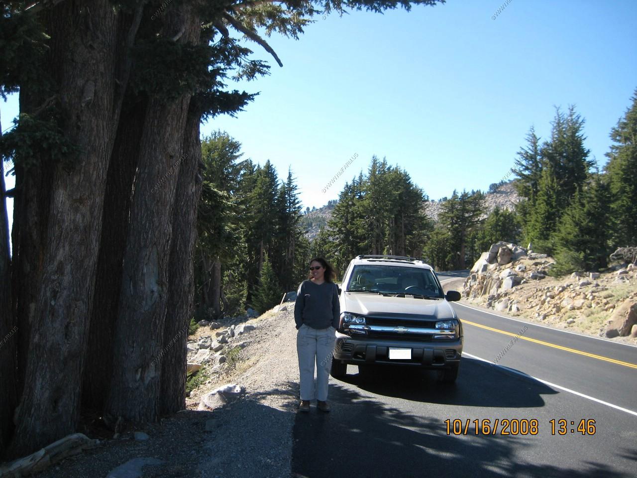
Looking east at Juniper Lake appx. 10 miles away and Mary standing next to the truck enjoying the view.

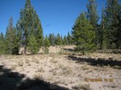
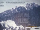
Devastated Area
We are on the north side with more snow, and now we have entered the devastated area.
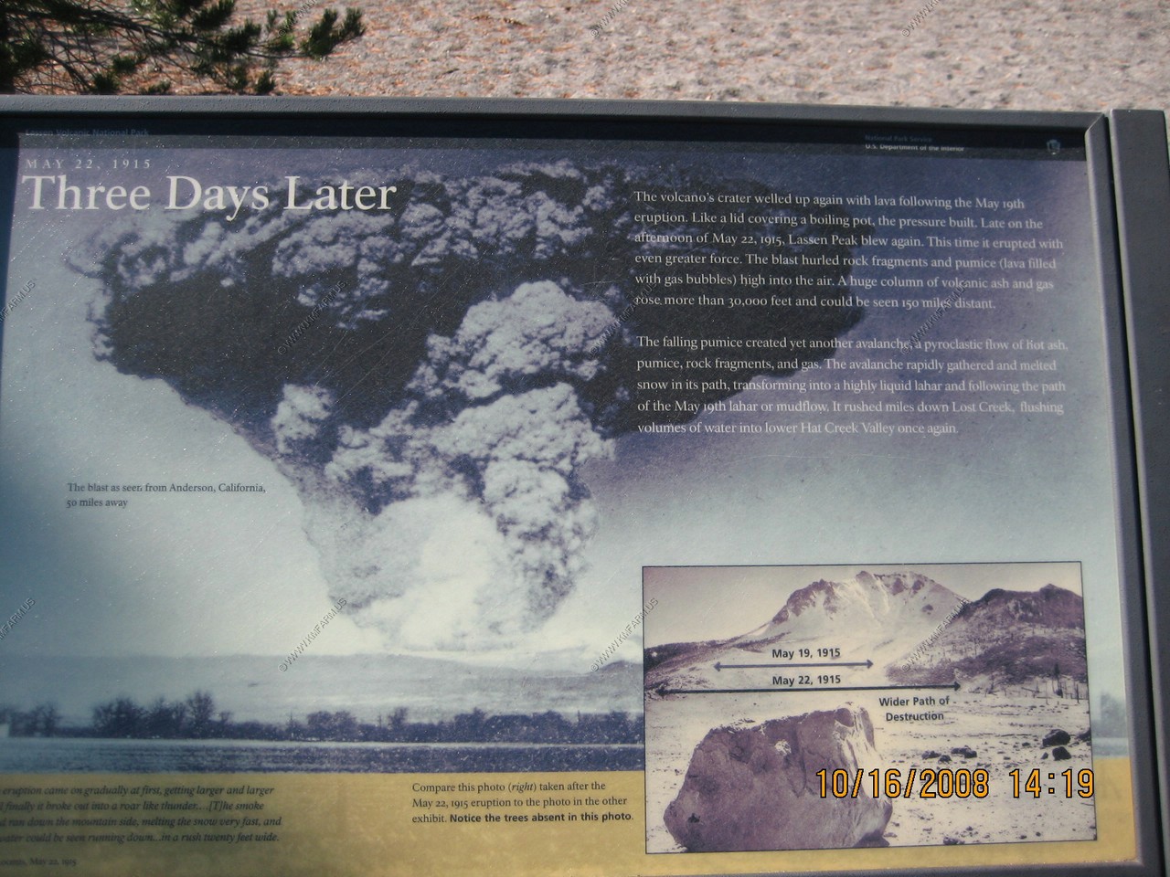
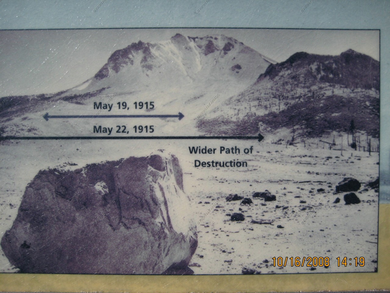
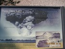
May 19, 1915 a night to remember.
You are standing in the aftermath of the volcanic destruction known as the devastated area. Late on the evening of May 19, 1915, a large
steam explosion shattered the lava that filled Lassen's Peak crater the previous five days. Glowing blocks of hot lava fell on the summit
and snow-covered upper flanks of the volcano. The impact touched off an avalanche of snow and lava rocks a half-mile wide. It roared down the
volcano's flank in front of you and continued up and over Emigrant Pass behind you, into Hat Creek Valley.
As the lava blocks broke into fragments, the snow melted, creating a mudflow of volcanic debris, called a lahar. Though with less force,
the torrent rushed down the path of the avalanche and was deflected by Emigrant Pass into Lost Creek, sweeping through homesteads.

Mary standing next to the snow marker so the plow does not destroy the sign
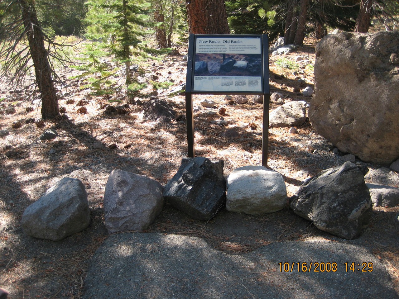
We hiked on the short Devastated Area Trail (1/2 mile loop trail)
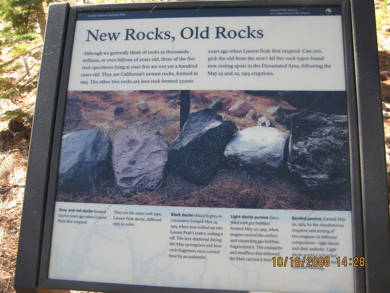
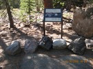
The rock display was very cool as you could look at rocks that had an actual birthday.
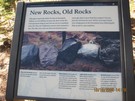
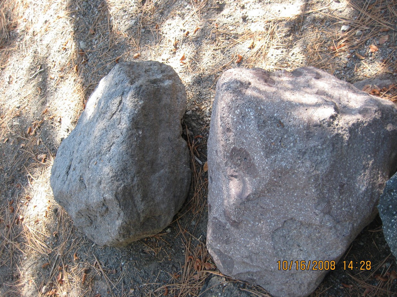
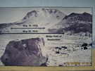
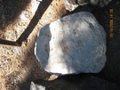
Gray and red dacite formed 27,000 years ago when Lassen Peak first erupted.
They are the same rock type, Lassen Peak dacite, different only in color
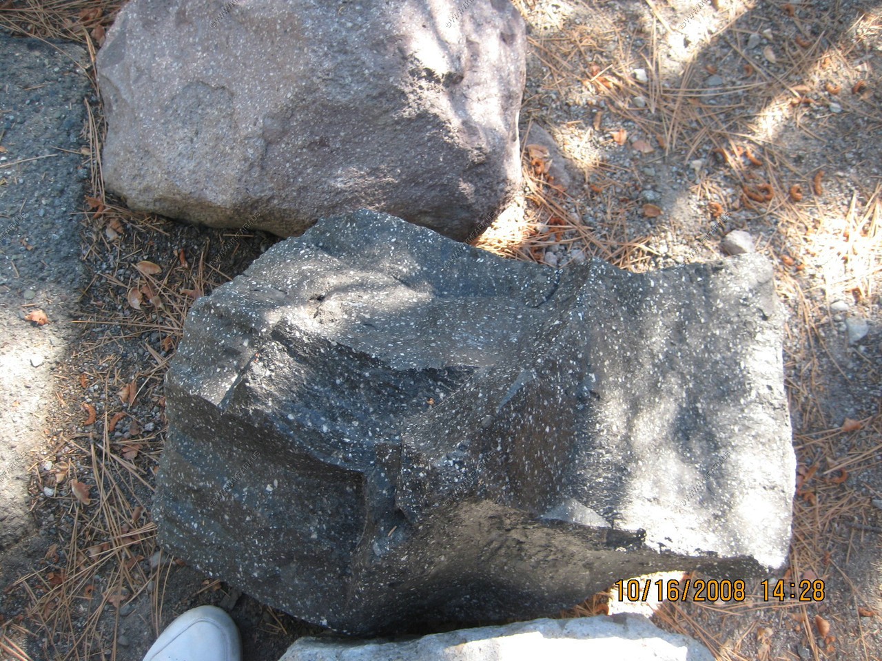
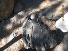
Black dacite (black to gray and coloration) formed May 14, 1915, when lava welled up into Lassen Peak's crater, sealing it off.
The lava shattered during the May 19 eruption and lava rock fragments were carried here by an avalanche.
Light dacite (lava filled with gas bubbles) formed May 22, 1915, when magma near the surface and expanding gas bubbles fragmented it.
The avalanche and mudflow that followed the blast carried it here.
Banded pumice, formed May 22, 1915, by simultaneous eruption and mixing of two magmas of different composition - light dacite and dark andesite.
Light dacite pumice, is banded pumice, without the dark andesite banding.
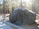
The rock before you, shaded by these maturing trees, is the same rock label by B.F. Loomis in this classic photograph of the newly formed
devastated area. The several-ton rock was too hot to touch when Loomis photographed it three days after it was ejected from the crater
of Lassen Peak as a new-glowing lava rock.
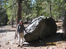
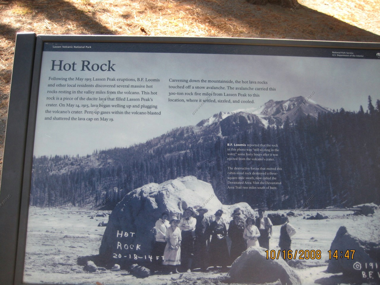
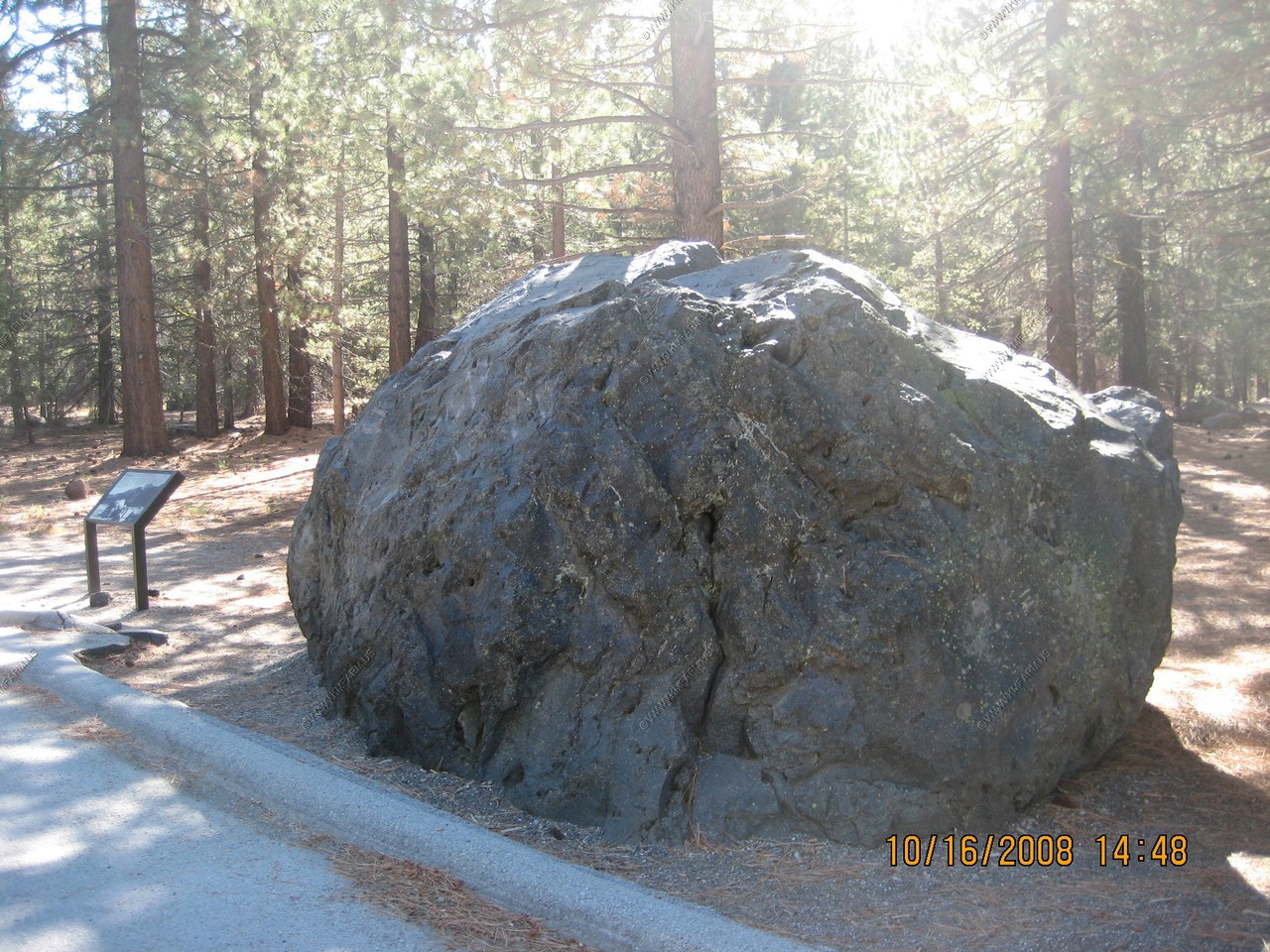
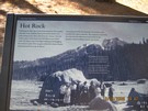
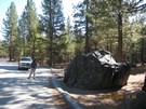
Rock and Roll
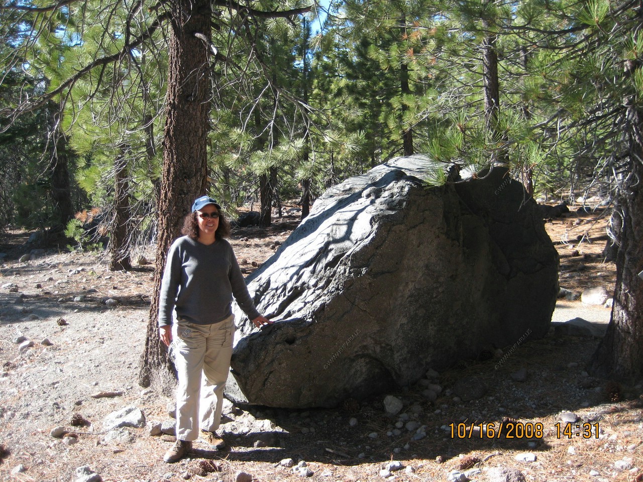
The rocks and boulders resting here on the hillsides were carried from Lassen Peak, 3 miles away. Many of the rocks are black dacite, pieces
of the lava dome that pluged the volcano's crater, beginning May 14, 1915. Pressure from the pent-up gases within the volcano blasted and
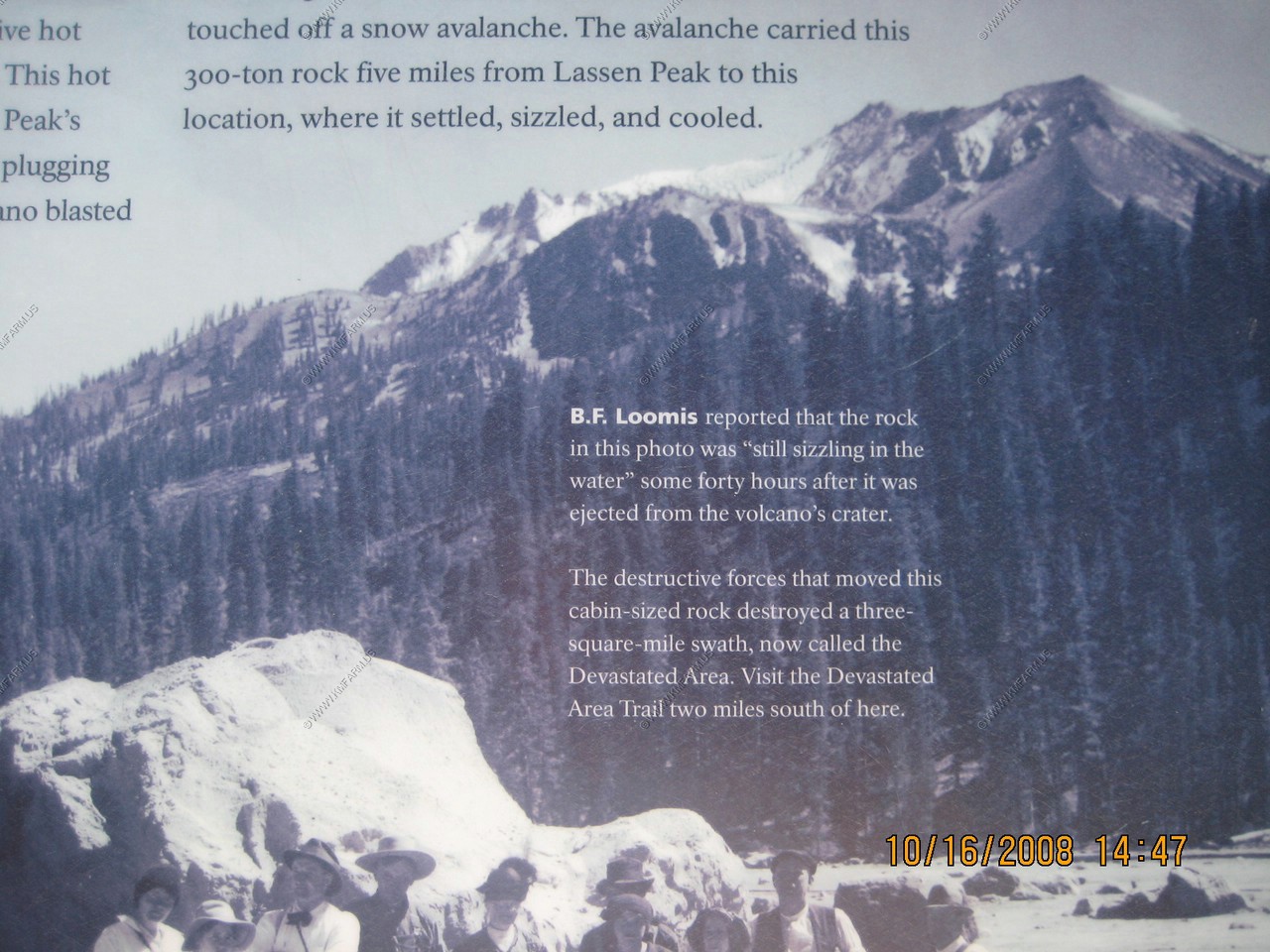
shattered the dome on May 19. Careening down the mountainside, the hot lava rocks set off a snow avalanche that tumbled, balanced, and carried
the rocks to this location, where they settled, sizzled, and cooled.
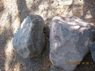
Hot hits cold
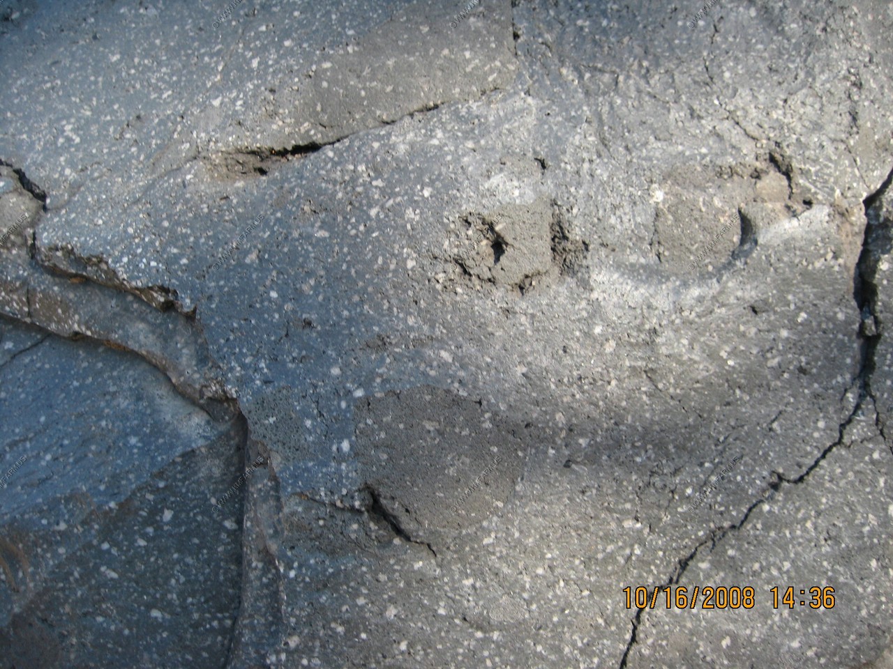
Look closely at this 1915 black dacite boulder. Notice the patches contained within the rock. These patches are called quenched blobs,
formed during the rocks molten stage. As molten rock, basalt magma mixed with dacite magma. Dacite magma's temperature is much cooler
than basalt's. When the hotter basalt injected into the cooler dacite magma, it was like hot wax hitting cold water. The blobs were
quenched - cooled suddenly. When the lava oozed from the volcano's vent the blobs solidified and remained encased in the dacite rock.
The mixing of two magmas likely triggered the May 19 Lassen Peak eruption. When a superheated injection of basalt magma enters dacite magma,
a volatile jolt occurs - sometimes enough to cause the volcano to erupt.

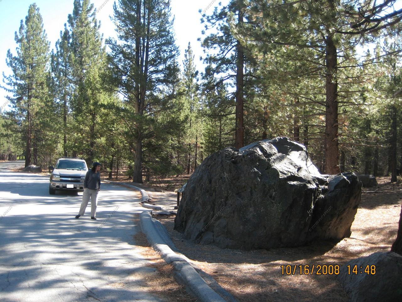
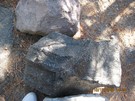
Another Hot rock that flew here. Amazing when you compare it to the truck
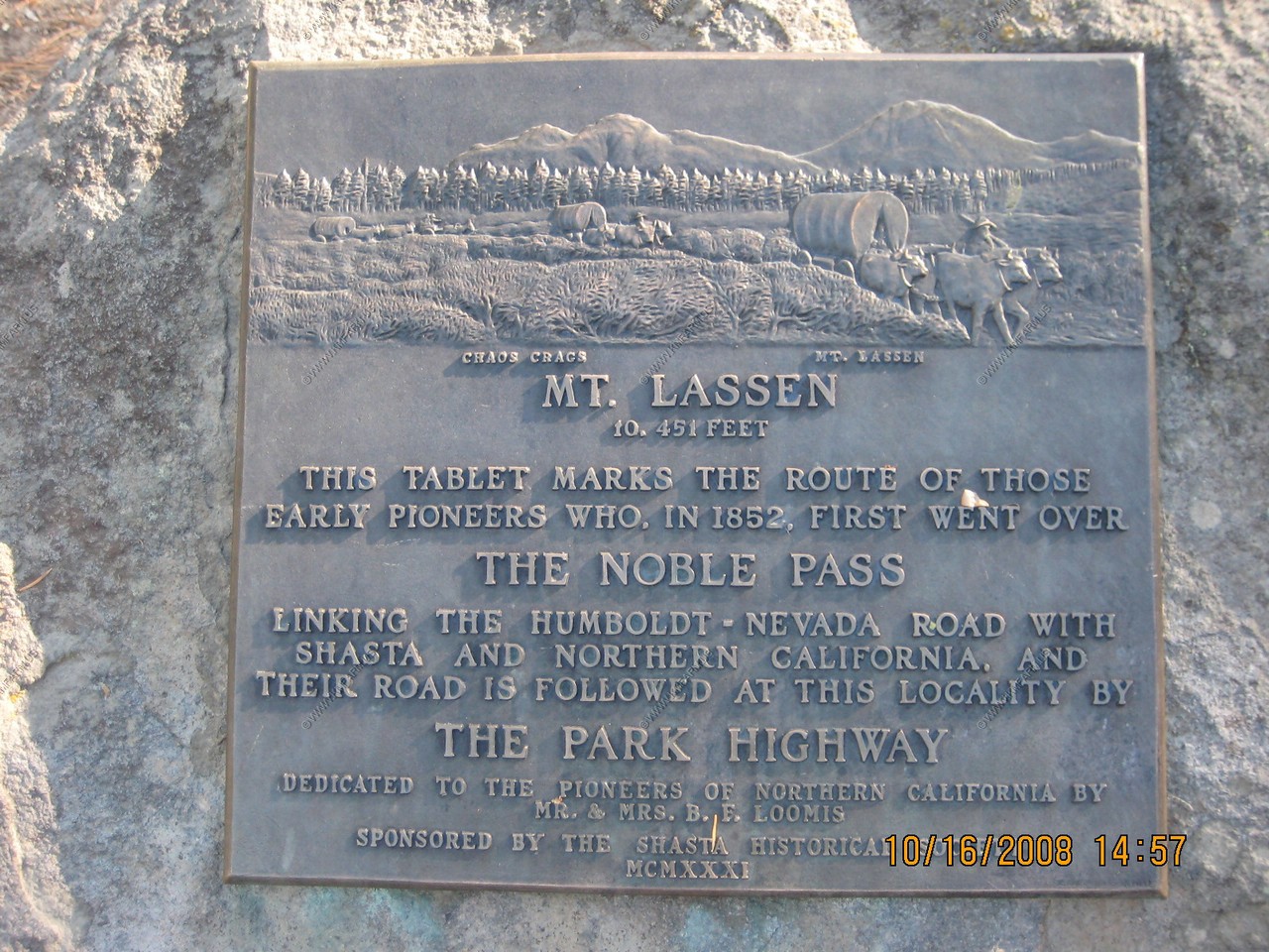
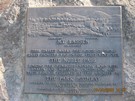
Nobles' Emigrant Trail
Pioneered by William Nobles, this trail linked the Applegate trail in Nevada to the Northern Sacramento Valley. During the 1850s and 60s,
severial thousand emigrants used this trail in their migration from the eastern United States.
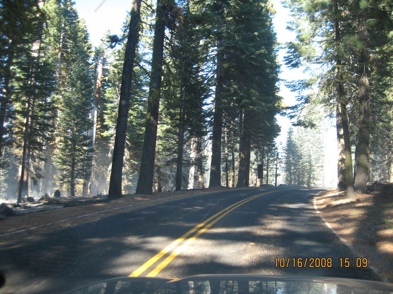
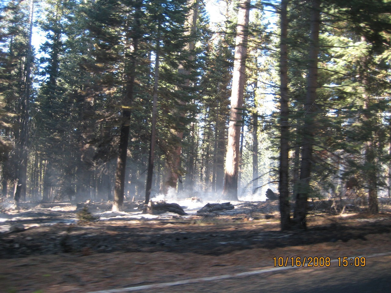
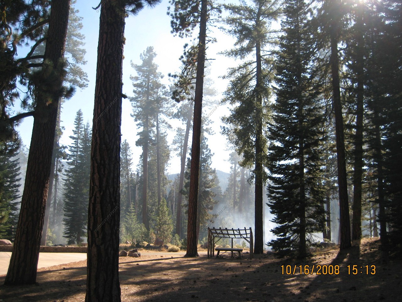
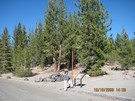
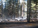
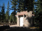
Forest fire along CA-89 near the North West entrance Station.
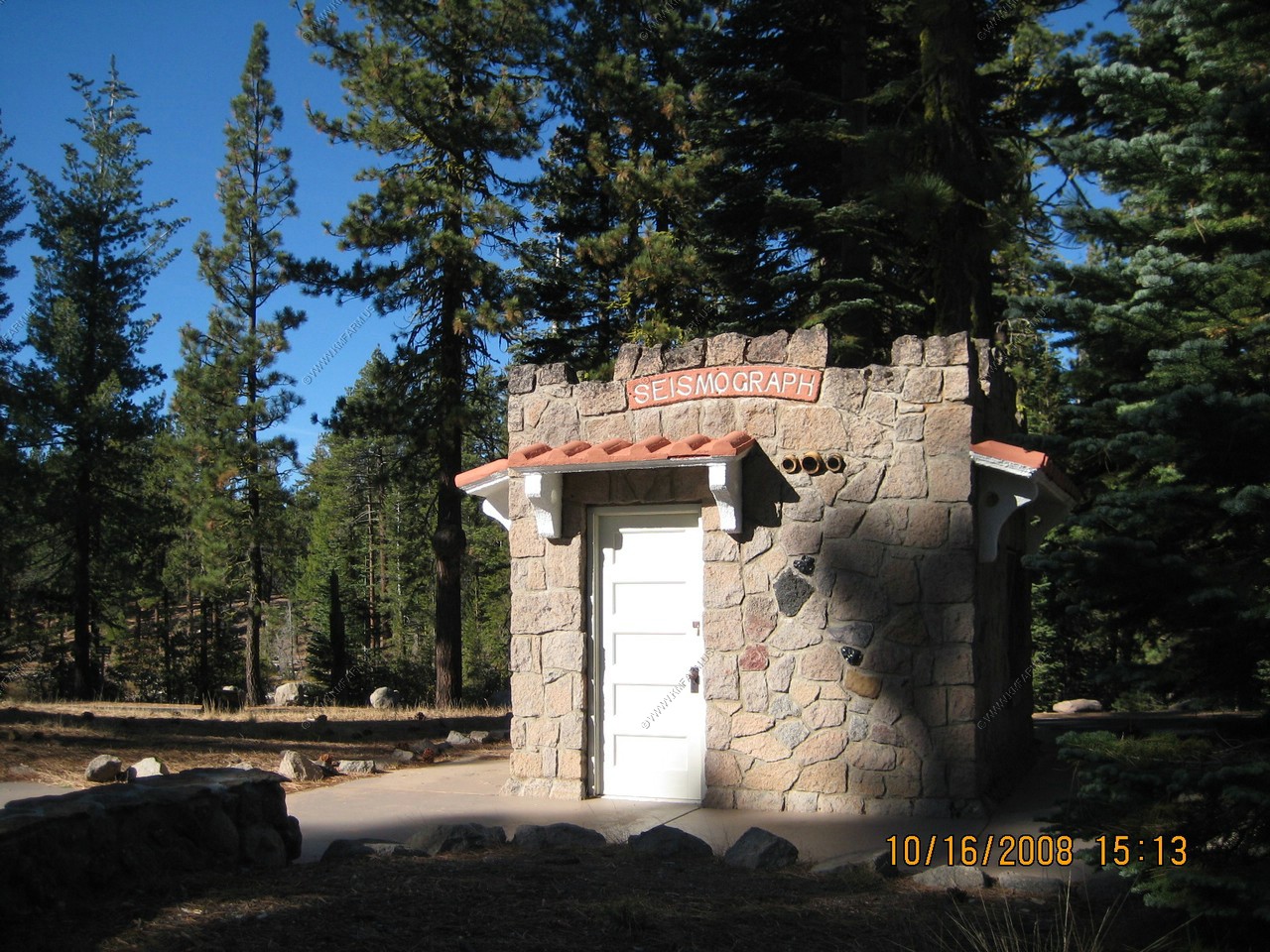
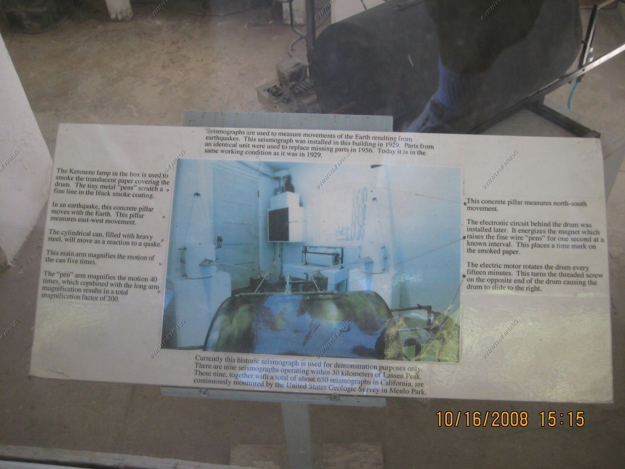
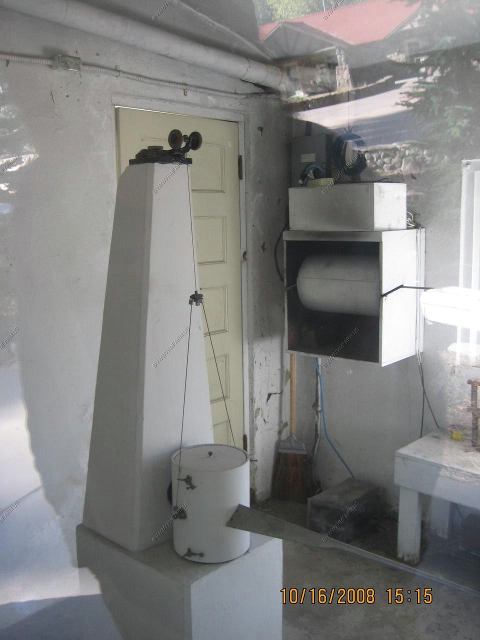
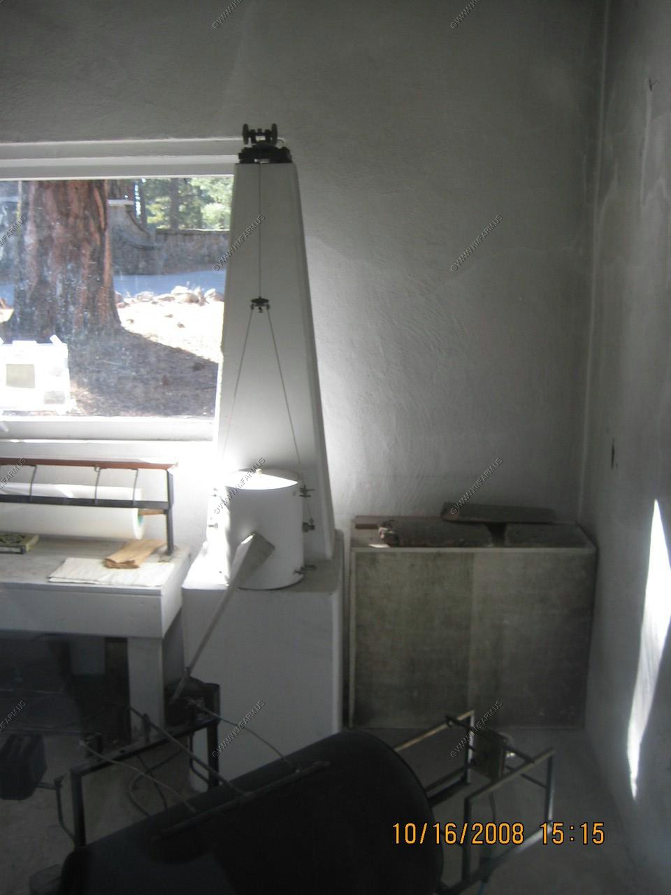
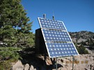
The original 1929 Seismograph in its own building near the North West entrance Station.

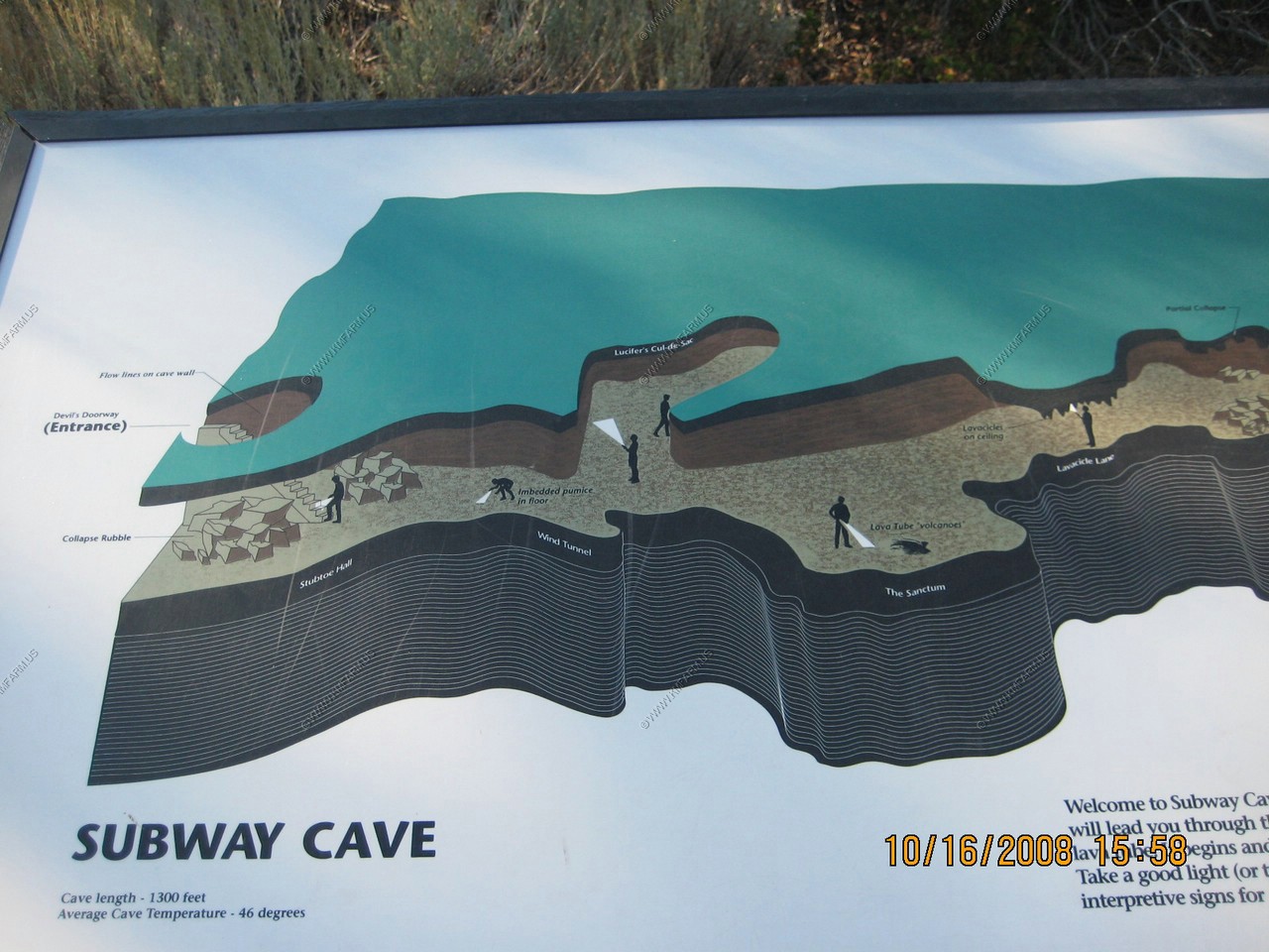
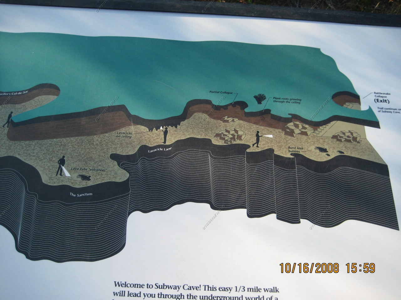
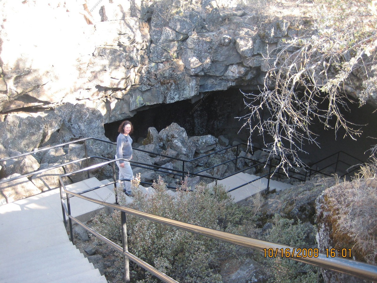
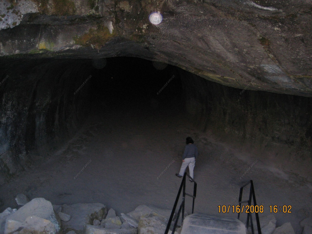
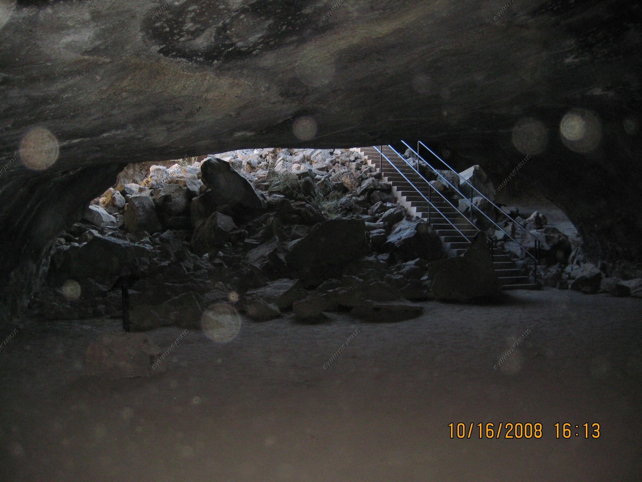
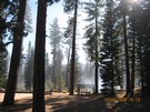
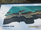
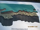
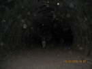
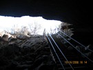
Subway Cave
This was one of those things we did not know about till we drove by. Very cool ! And free!
Geology - Less than 20,000 yeas ago, the lava of the Hat Creek flow was discharged in large volumes from a series of north-south fissures
(cracks in the earth). This river of lava located near the town of Old Station, crawled northward 16 miles, covering the floor of
Hat Creek Valley. While the top crust cooled and hardened, rivers of red-hot lava insulated by newly formed rock above, continued to flow.
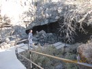
Eventually, the lava drained away, leaving tube-like caves. The entrance to the cave was formed by a partial collapse of the cave's roof
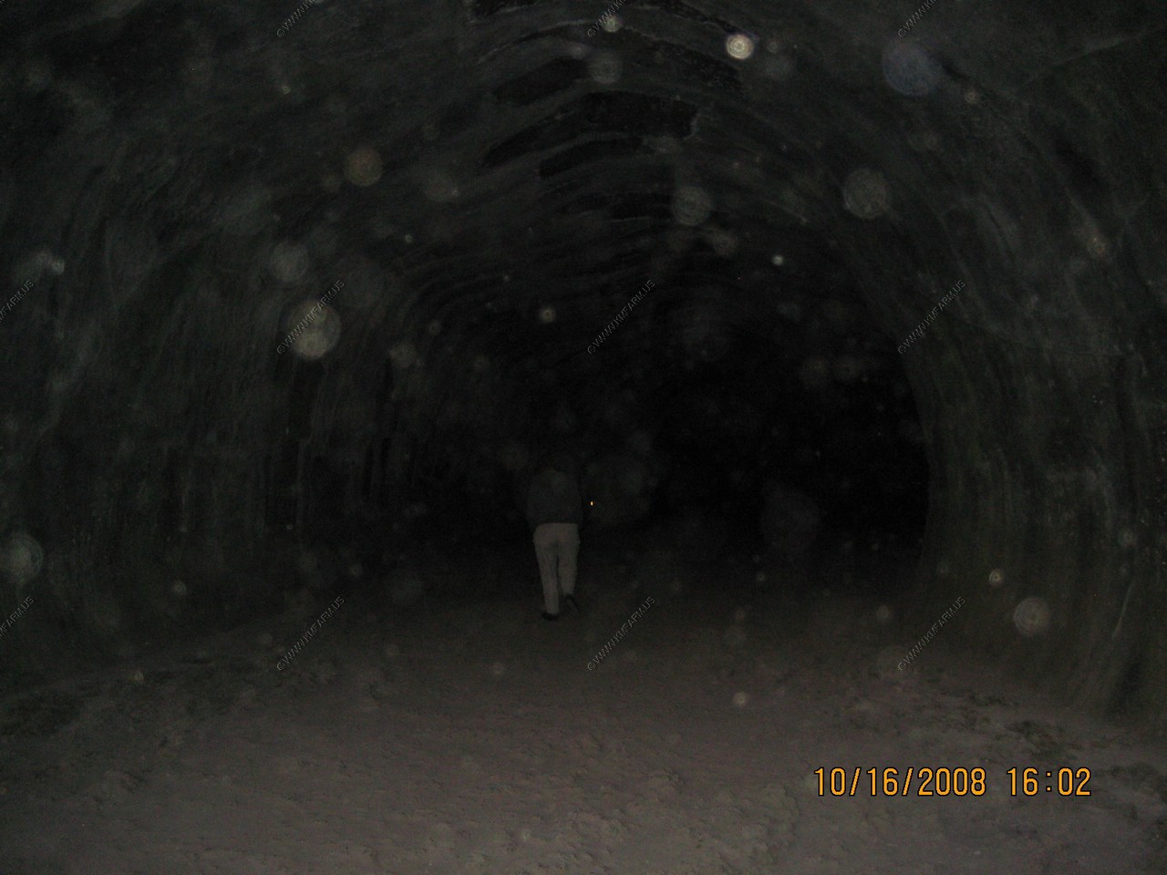
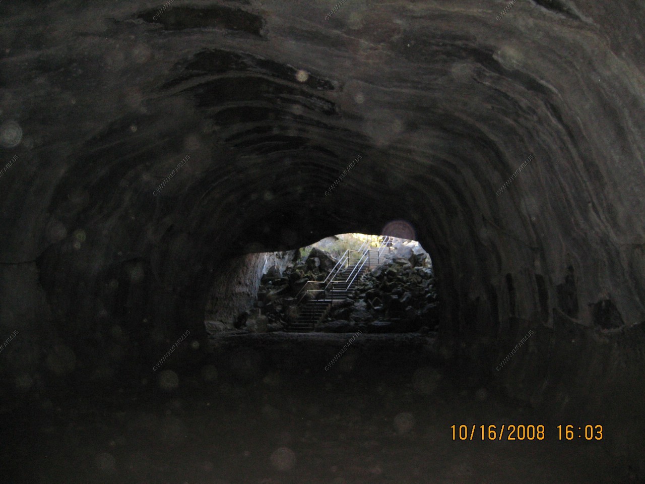
many years ago. Subway Cave is the largest accessible tube in the flow.
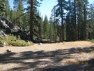
Location - Subway Cave is located near the town of Old Station, 1/4 mile north of the junction of Highway 44 & 89 across from Cave Campground.
Temperature - Temperature inside the cave remains a cool 46 degrees Fahrenheit year around. Be sure to take a jacket with you.
Safety - Rough floor, watch your step, low ceiling, sturdy shoes advised!
Season of Use - Cave is open late May through October. Closed during the winter months.
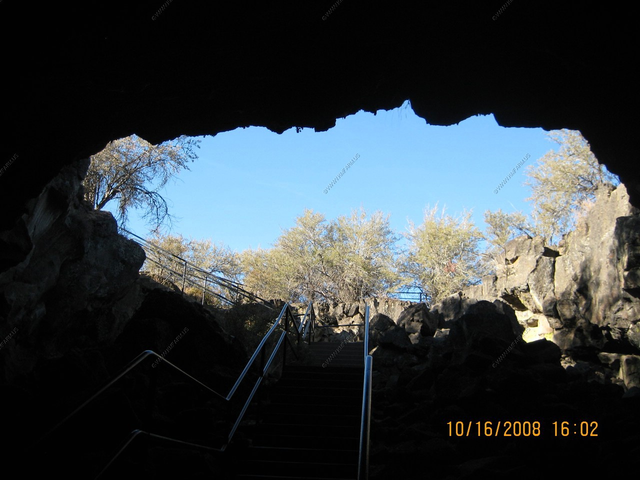
Visibility - Visibility is zero. Take a dependable flashlight with you. There are self-guided trail signs inside.
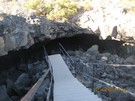
Length - 1,300 feet of winding lava tube. The total trail length is 1/3 mile.
Roof - Thickness varies from 8 to 24 feet.
Height - Varies from 6 to 17 feet.
If you would like to do more spelunking, Lava Beds National Monument, located an hour and a half northeast of Subway Cave has several more
lava tubes to explore.
Devil's Doorway - Although the outer surface of the lava flow cooled and hardened rapidly, the inner lava was insulated from the cold air
like coffee in a thermos bottle, and it remained fluid and continued to flow. This inner molten material kept moving and soon drained out
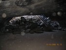
of its shell. As it continued to flow it left behind a dark, hidden tunnel. Only when the roof collapsed did the lava tube open. The Jumble
of rocks below was once the ceiling of Subway Cave.
Mary going in !
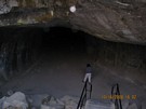

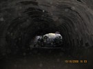
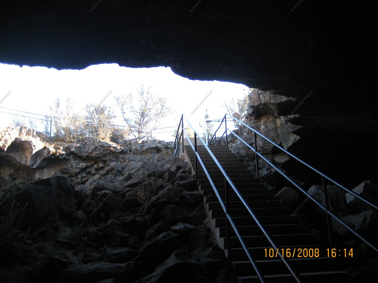
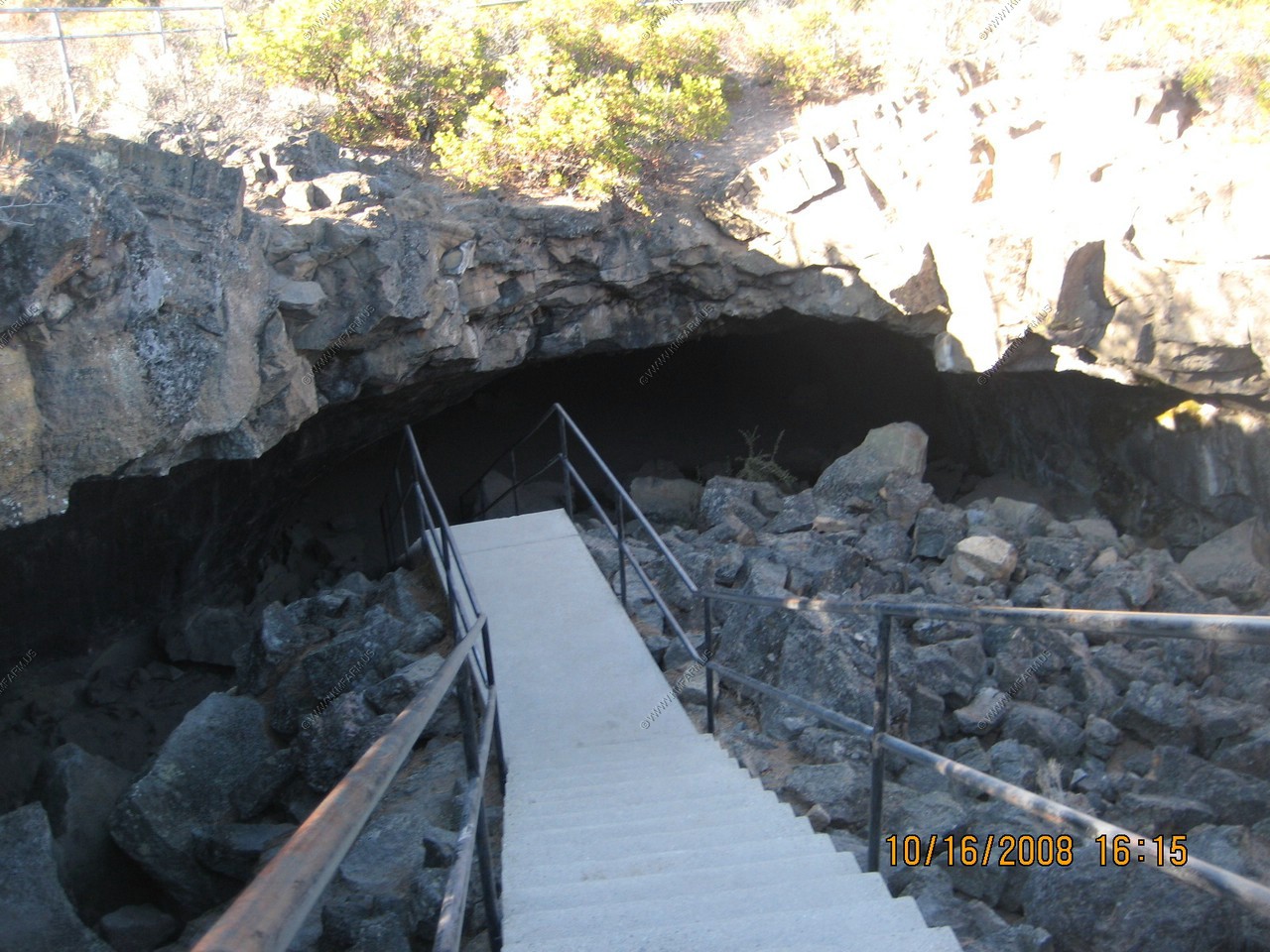
The exit at last !
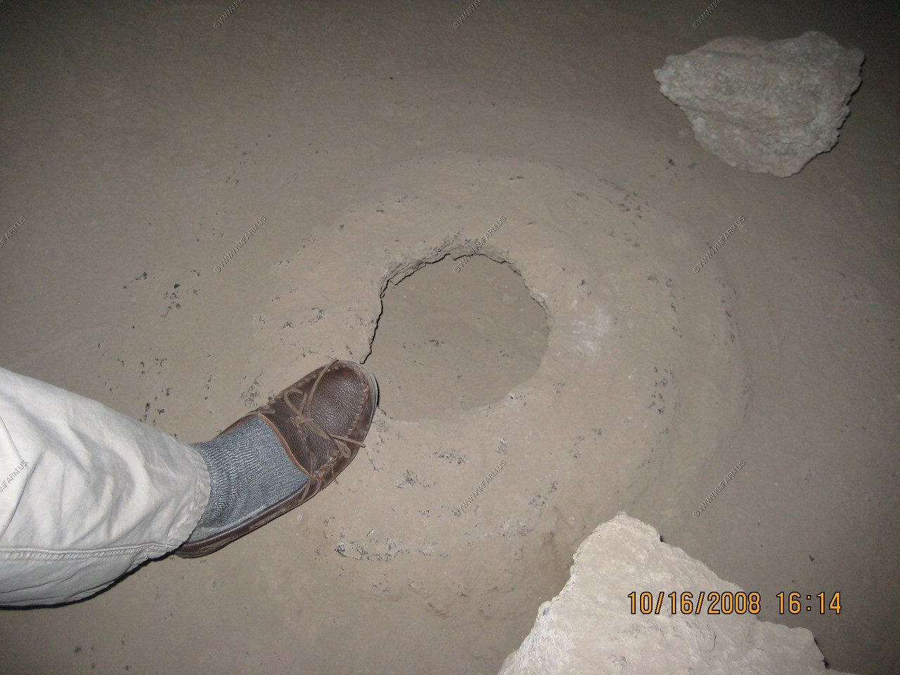
Lava Bubbles - Hot gasses forced their way up through the semi-molten floor and formed bubbles which burst when they reached the surface.
The exit
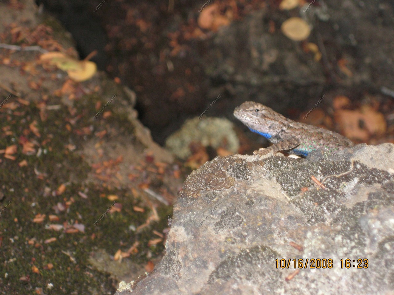
A male Northern sagebrush lizard, which has a blue belly.

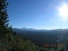
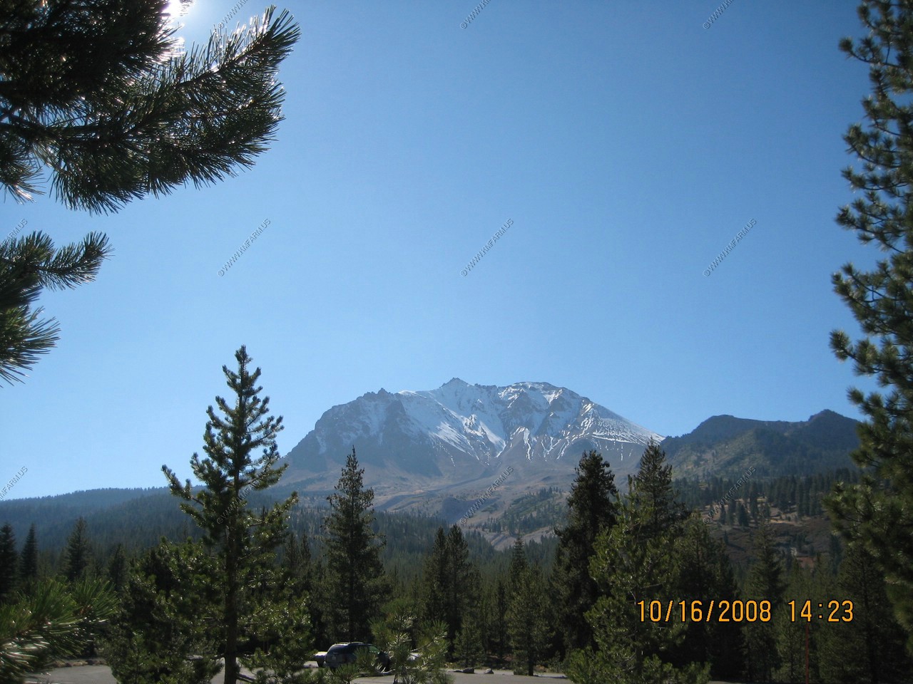
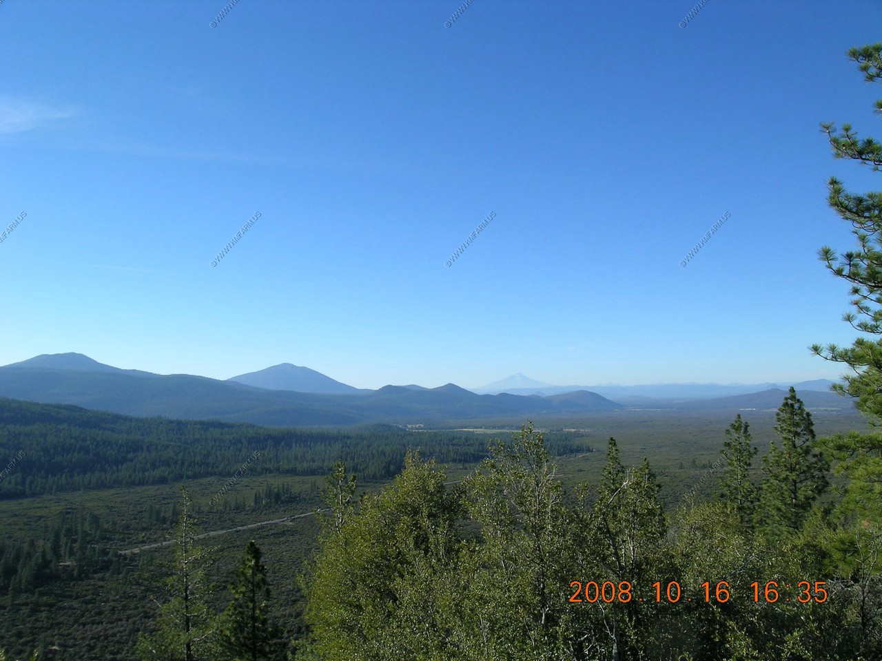
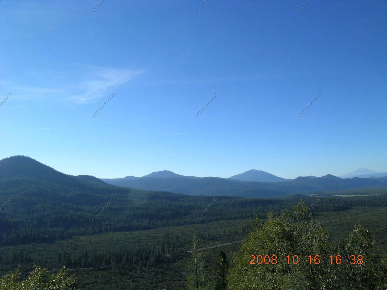
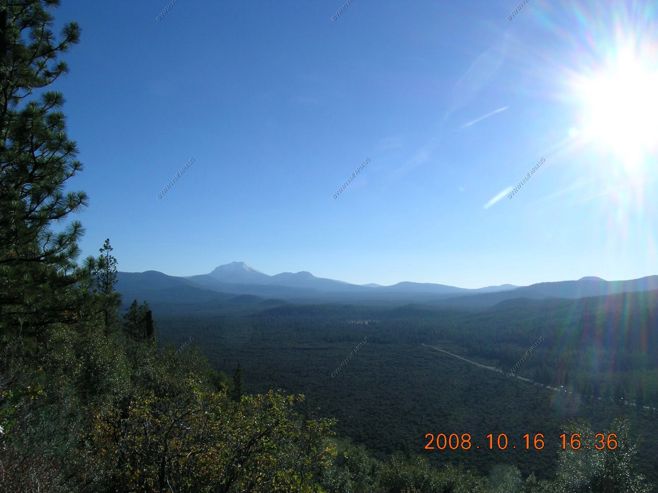
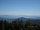
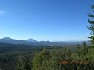
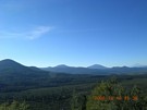
Hat Creek Overlook El. 4,850 ft.
One of the mountains I have always wanted to see was Mt. Shasta. I really lucked out with this overlook and the weather.
Hat creek Rim, This rim is a geological fault or break in the earths crust. The Hat Creek Valley has been falling away from this rim for
over 2 million years.
Hat Creek Valley - Elevation 3,500 - 4,800 ft. ft. (in most of the photos below)
Distance - 3 miles
Geology - The valley partially filled with lava in a series of eruptions and flows 15,000 - 30,000 years ago. Visit Subway Cave,
one of the tubes that carried some of the lava. Its on highway 89, just below you on the road you see through the valley.
Mount Shasta - Elevation 14,182 ft.
Distance - 85 miles
Geology - Mount Shasta has 4 volcanos on top of each other and is the 2nd largest Strato Volcano (Mt. Adams is first). Mount Shasta
is less than 200,000 years old.

Burney Mountian - Elevation 7,883 ft. (Left of Shasta)
Distance - 9 miles
Geology - A 240,000 year old lava cone similar to Mount St. Helens, with 5 separate lava domes. That's why you see multiple peaks.
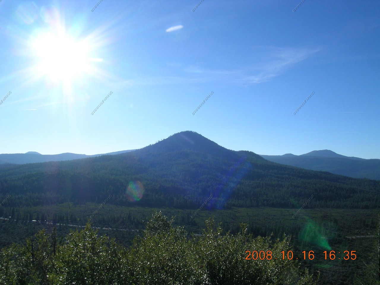
Sugarloaf Peak - Elevation 5,521 ft. (Center)
Distance - 3 miles
Geology - Spectacular Sugarloaf, a classic lava cone, was created in one or two eruptions. The cone is steep because the lava
was thick or viscous.

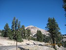
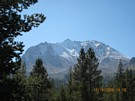
Lassen Peak - Elevation 10,457 ft.
Distance - 14 miles
Geology - Lassen Peak is the start of the Cascade Mountain Range. Its one of the largest plug dome volcanoes and is 10 times
the size of the dome at Mount St. Helens. Lassen Peak erupted hundreds of times from 1914 - 1921.