JAN-2020 - Drone shots of the New Kensington area from Mt. Vernon
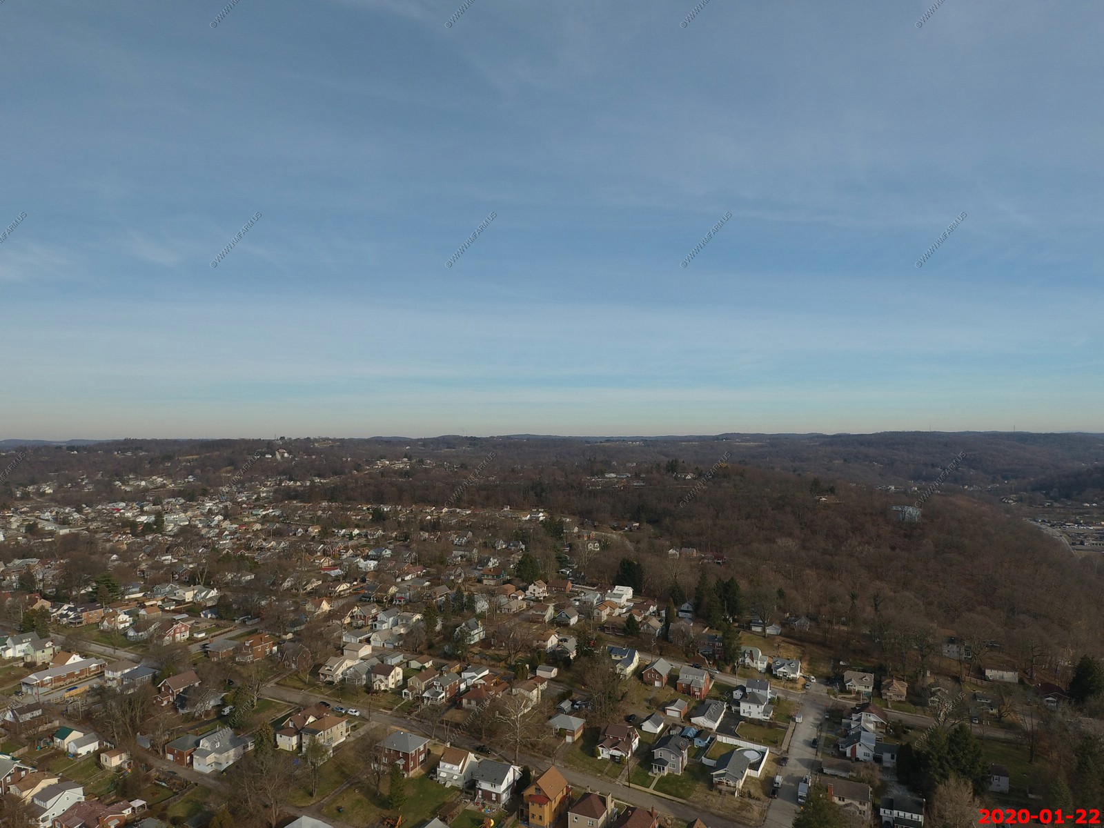
Looking down from 200 feet.
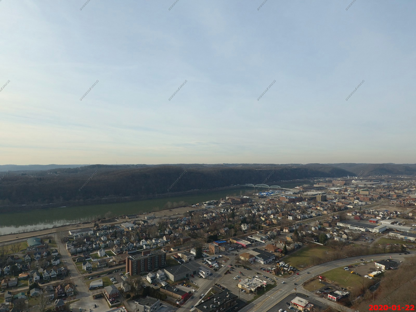
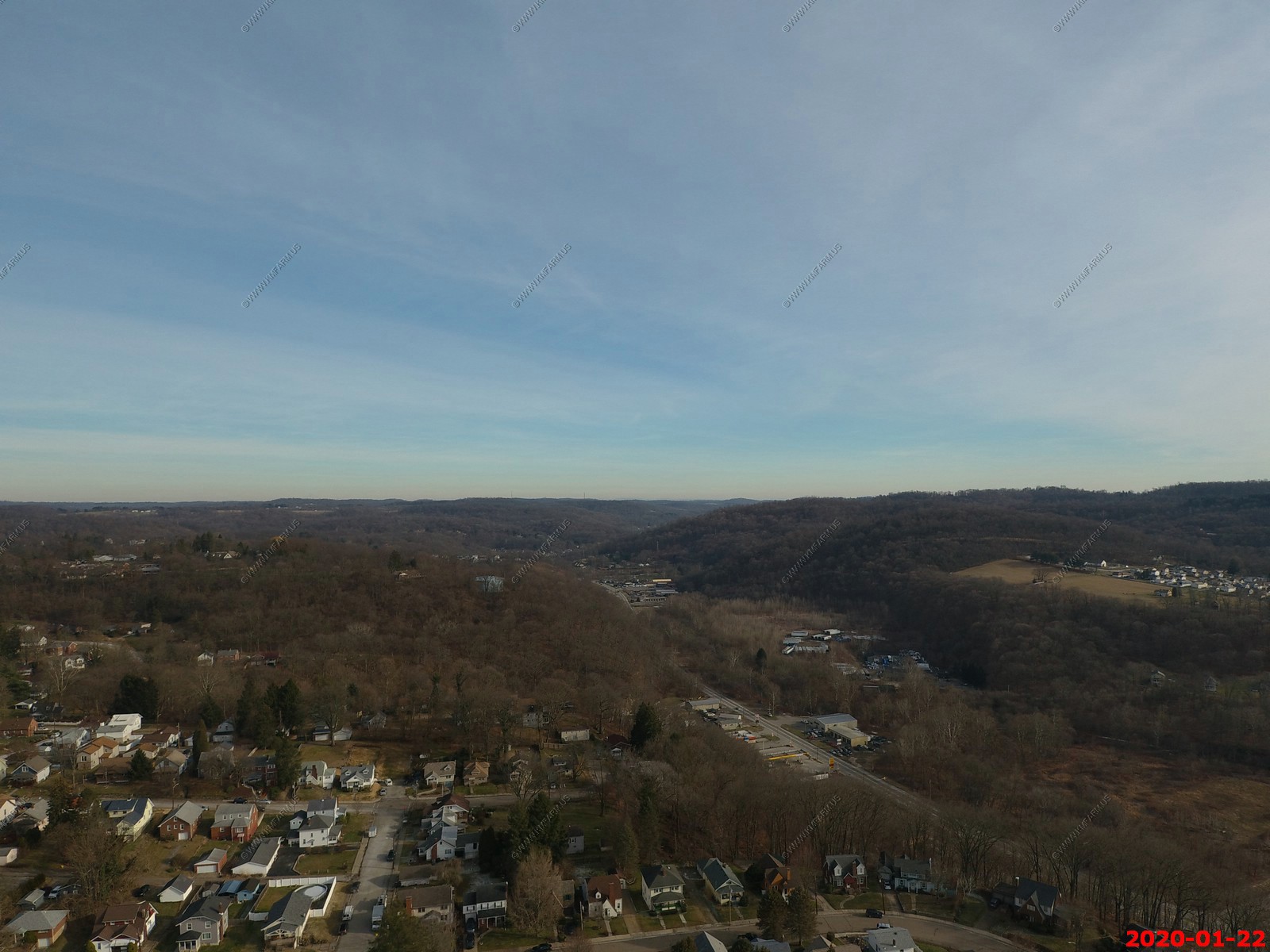
Now looking down - Now up to 400 feet (1,250 feet above sea level) - The wooded area has an appx 125 foot elevation difference between the street and Pucketa Creek.

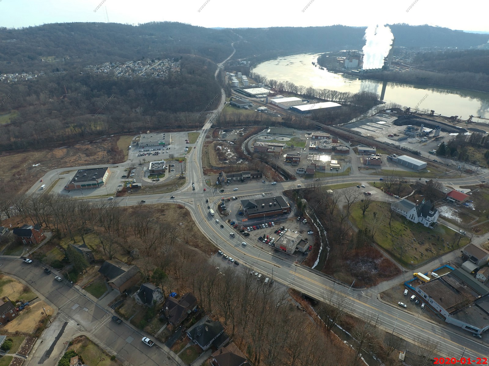
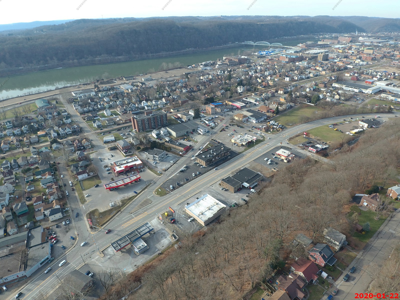
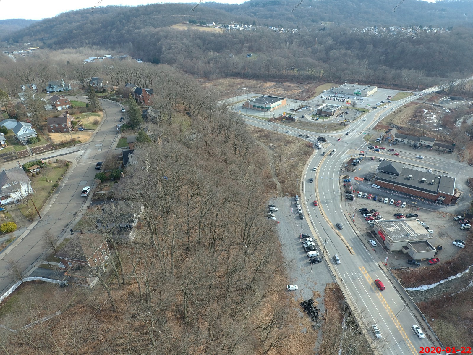
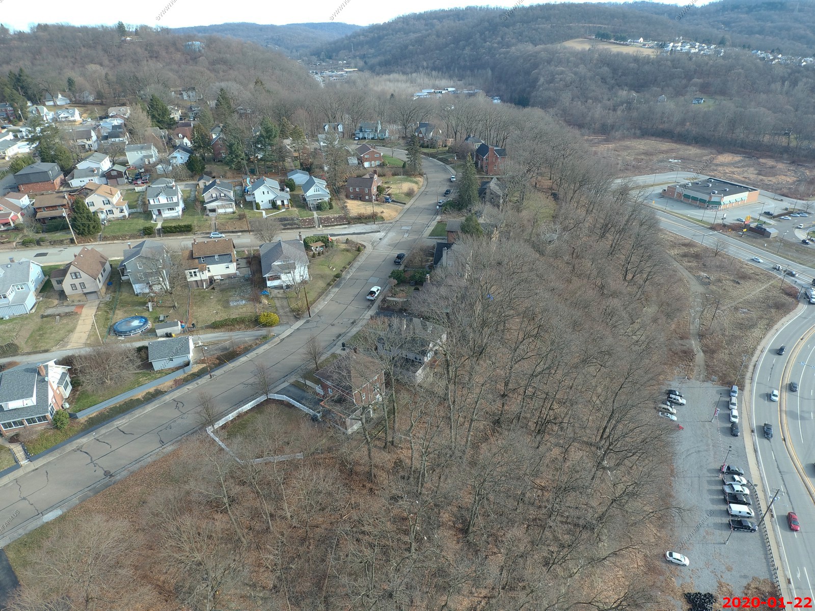
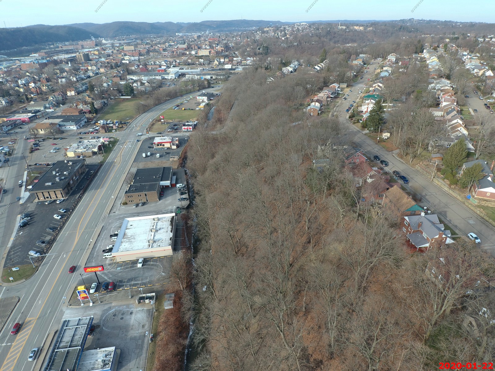
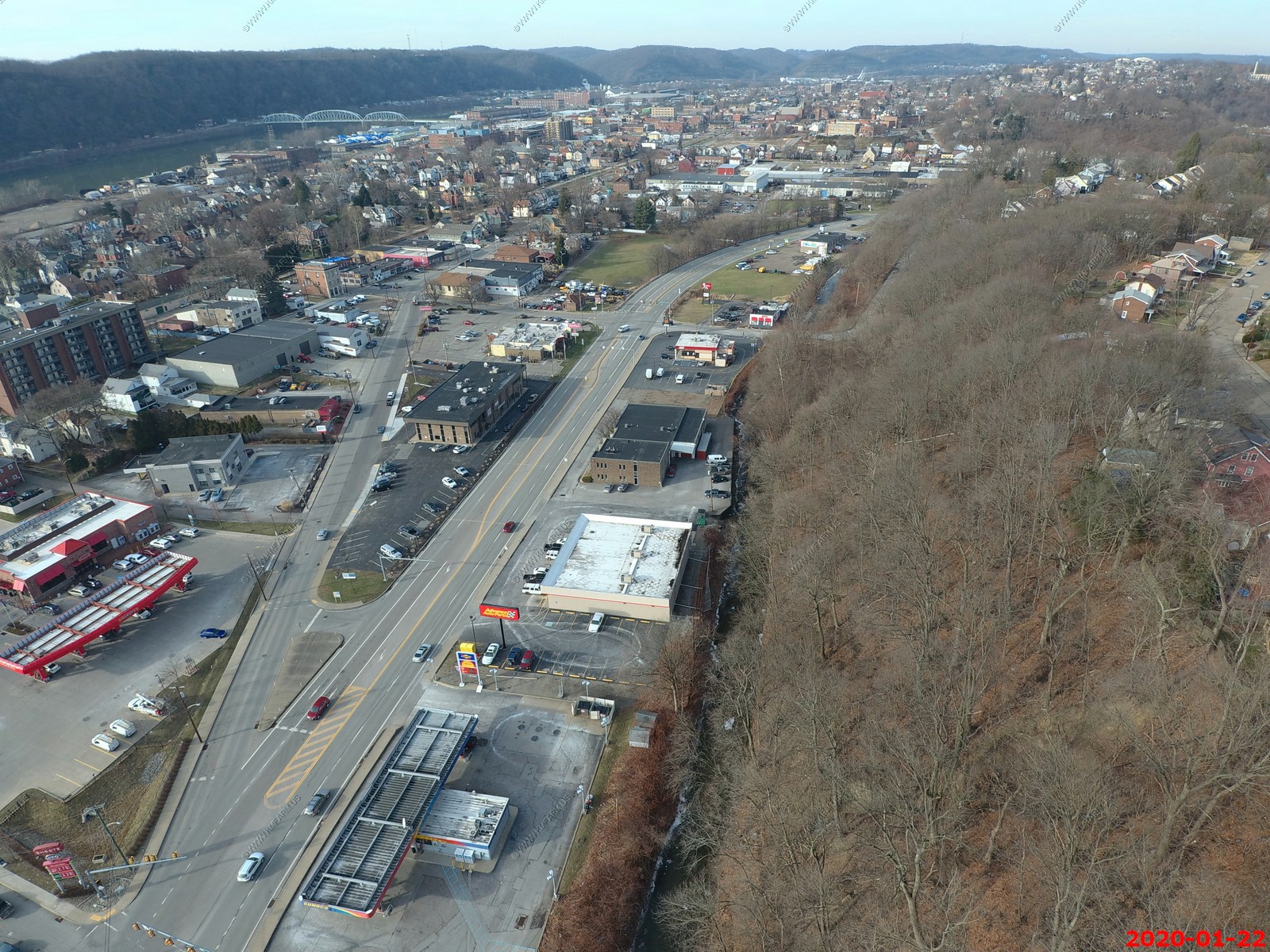
Looking south at the intersection of RT 909 & RT 366.
Center right in the photo is the wonderful New Kensington & Lower Burrell Sewage Treatment Plant.
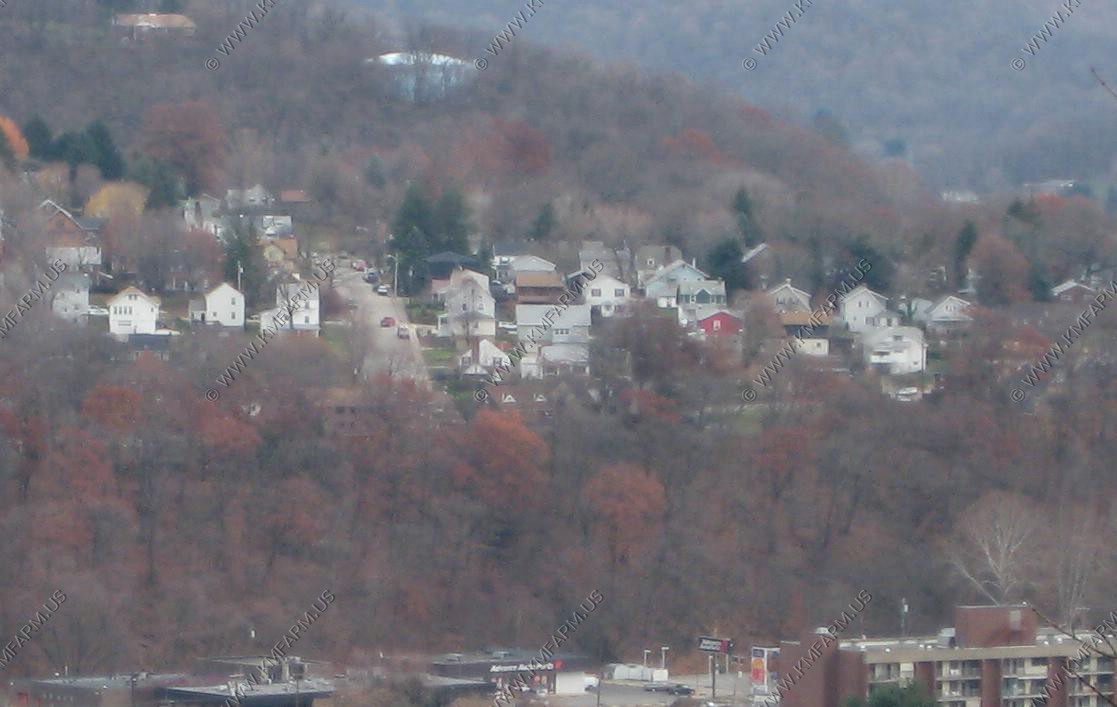
The houses up on the hill was a coal company-built town of Logan's Ferry, PA. This may have been the last coal patch town to be built in Allegheny County, Pa. It was constructed in 1920-21 to by the Allegheny Pittsburgh Coal Company to house the workers of their Springdale Mine. Logan's Ferry was (is) one of the nicest coal towns in Pennsylvania. The single family homes were of different designs, with cellars, nice lawns, and electric lights. Even the streets of Logans Ferry were lighted.
Logan's Ferry Presbyterian Church in the center. This area has considerable history as Fort Crawford was built here in 1778 and was kept up as a depot and distributing place of supplies and munitions of war for the military, as a place of refuge for the surrounding inhabitants, as headquarters for scouts, and as a post garrisoned by the continental soldiers under the General commanding in the department, or by independent companies of militia who were called out by the County Lieutenant for short service. It served all the purposes of a frontier stockade fort. The Allegheny River is in the background.
The steam is coming from - Allegheny Energy Power Plant which is a State-of-the-art, quiet, clean-running power station rebuilt in 1999-2003. Fuel source is natural gas. Allegheny Energy considers this facility as two separate plants, with capacities of 88 MW and 540 MW. Beyond that is Cheswick Generating Station which Net capacity is 570 megawatts, began commercial operation in 1970, operates as a base-load facility. At times it's one of the most polluting coal power plants in the US.
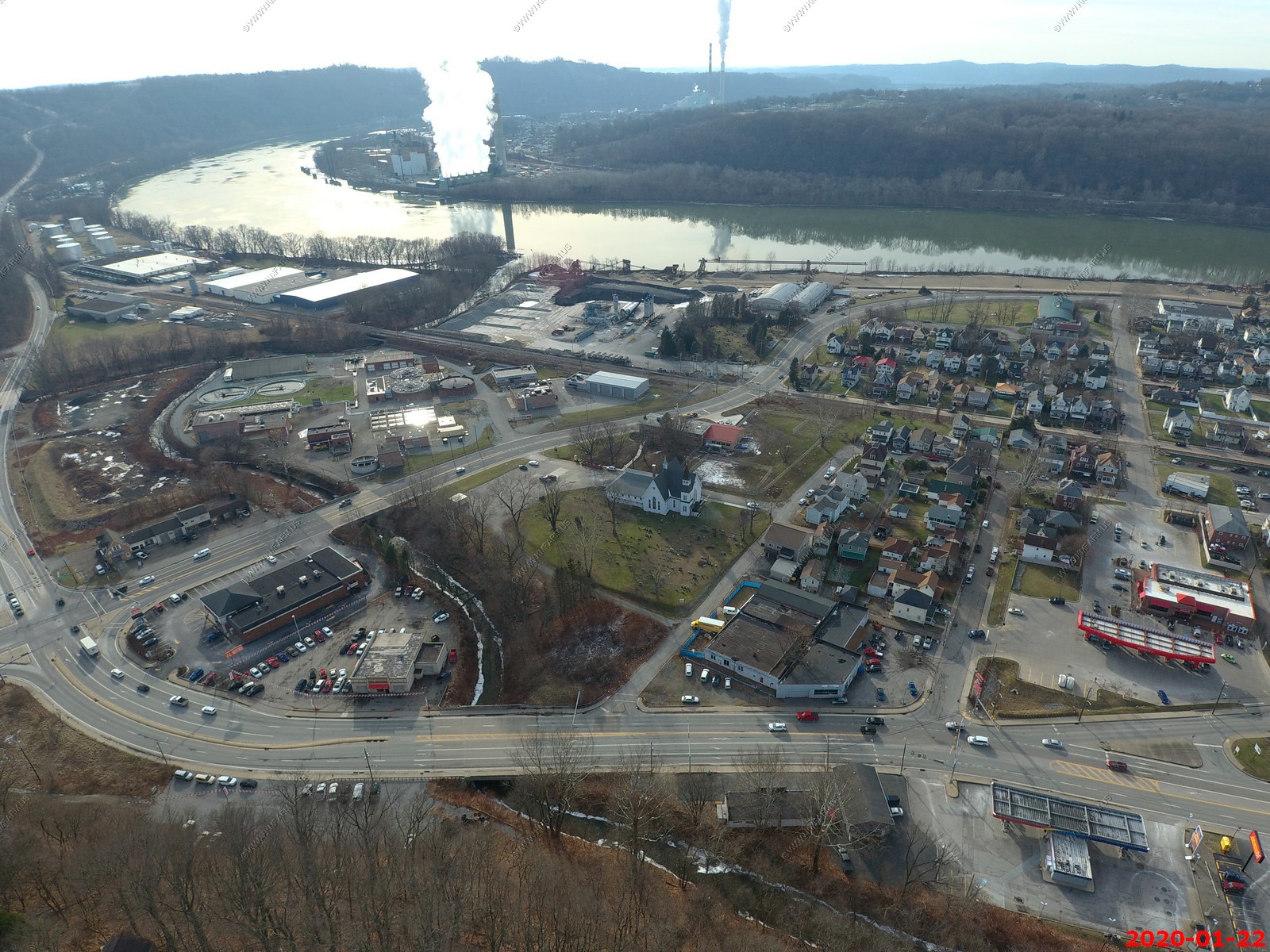
Looking at New Kensington's Parnassus neighborhood. Use to be a separate city. Sad as it's not that nice anymore. You can see the Sheetz store... They have good & cheap hot dogs. Right behind the Sheetz is a high-rise that PA lottery built. Most towns in PA have a high rise like this. New Ken / Arnold has four that I know of.
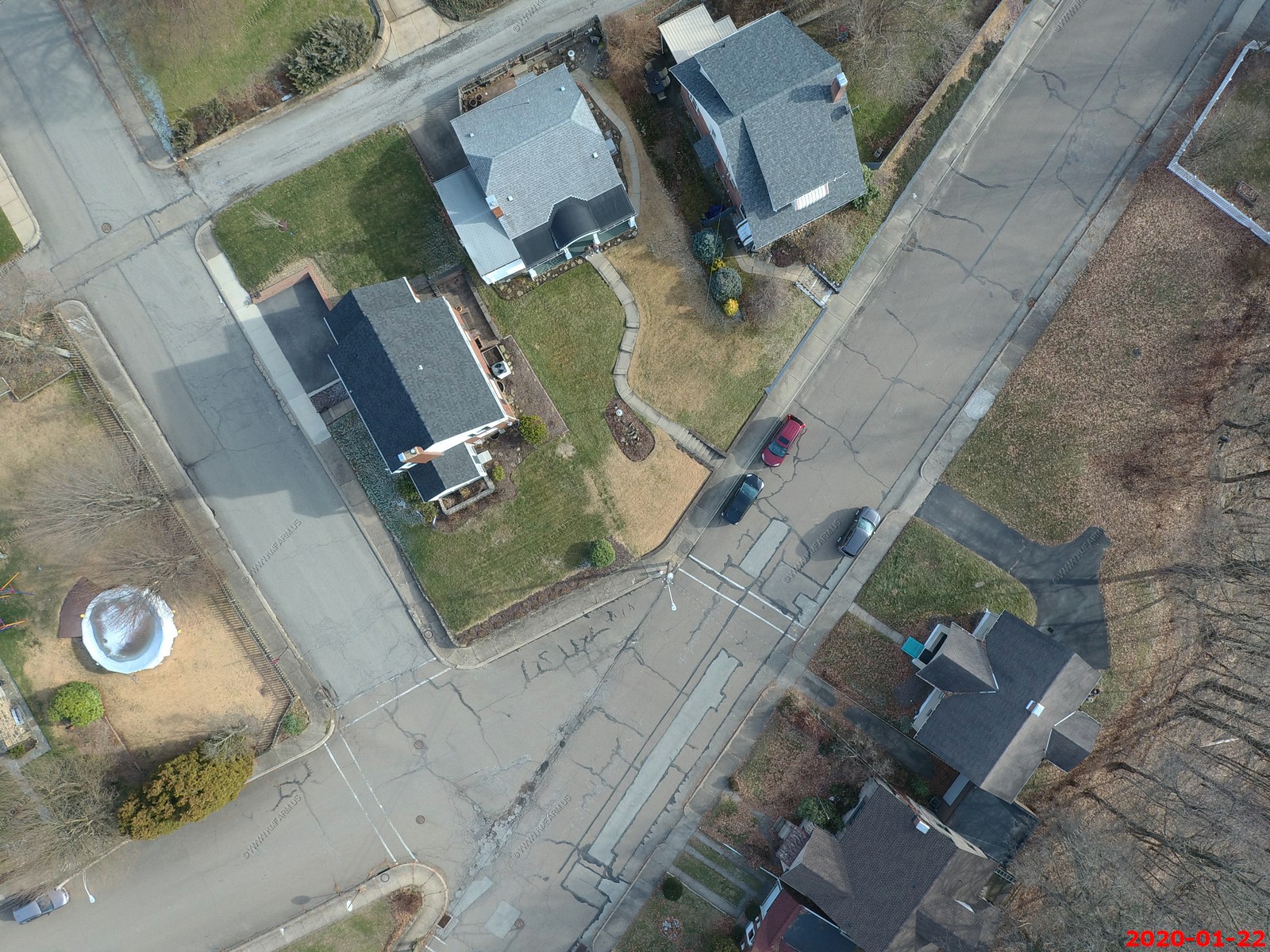
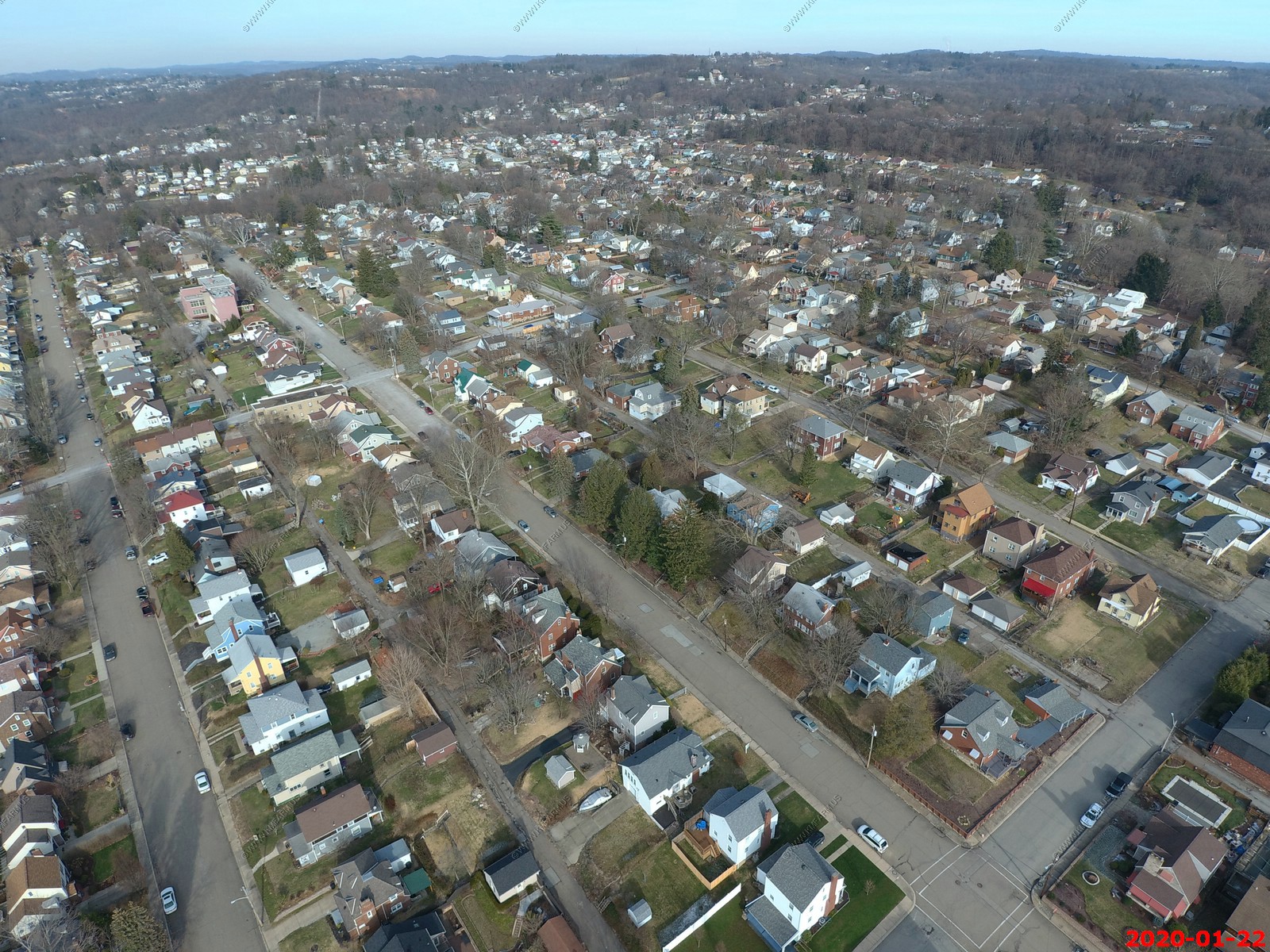
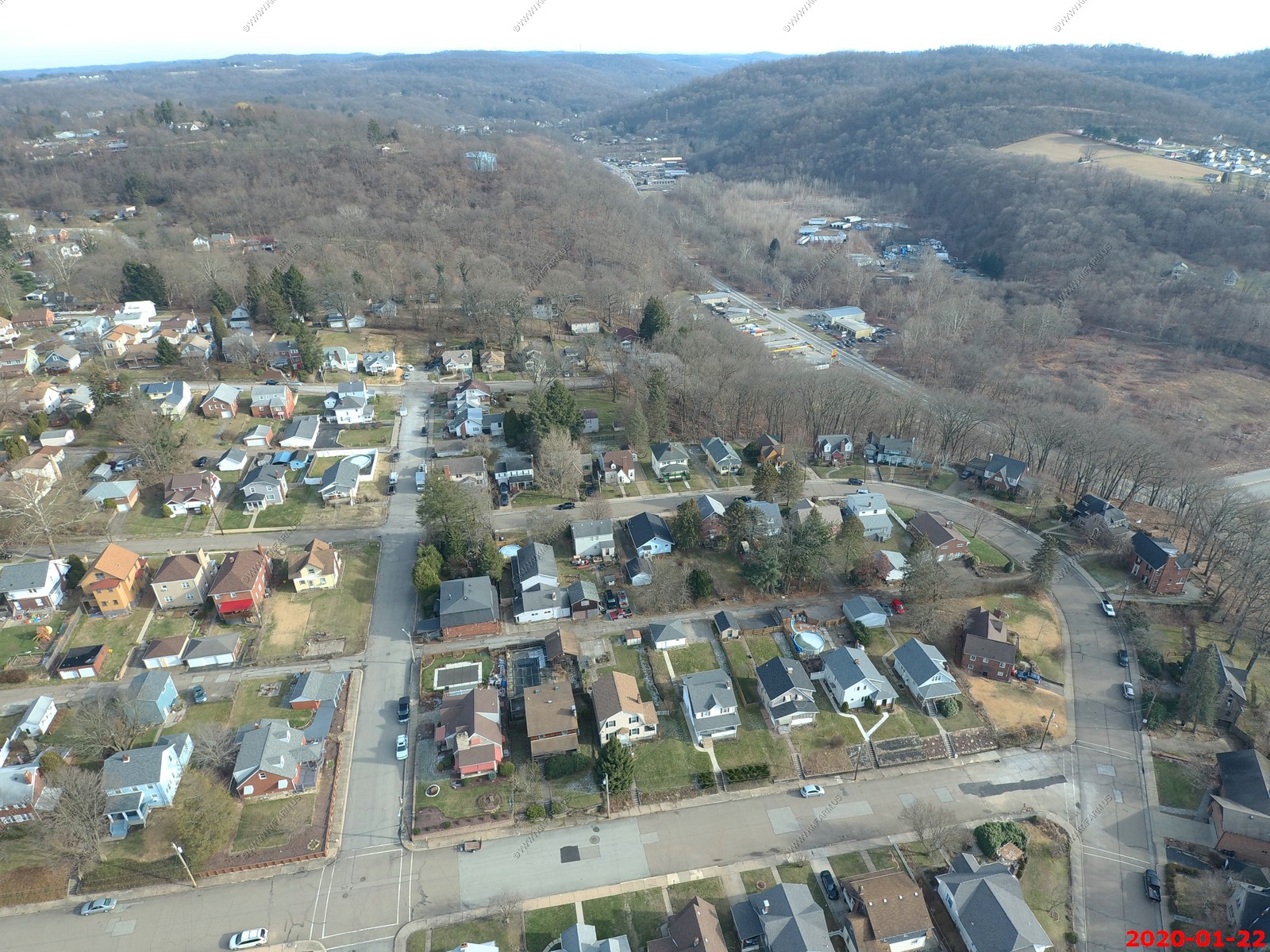
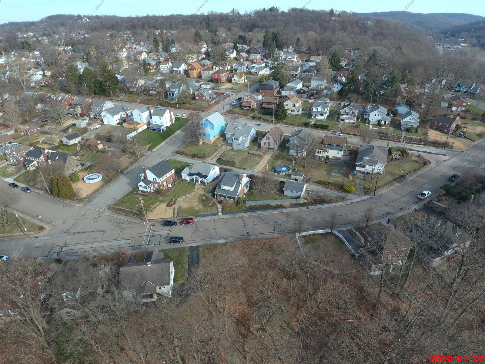
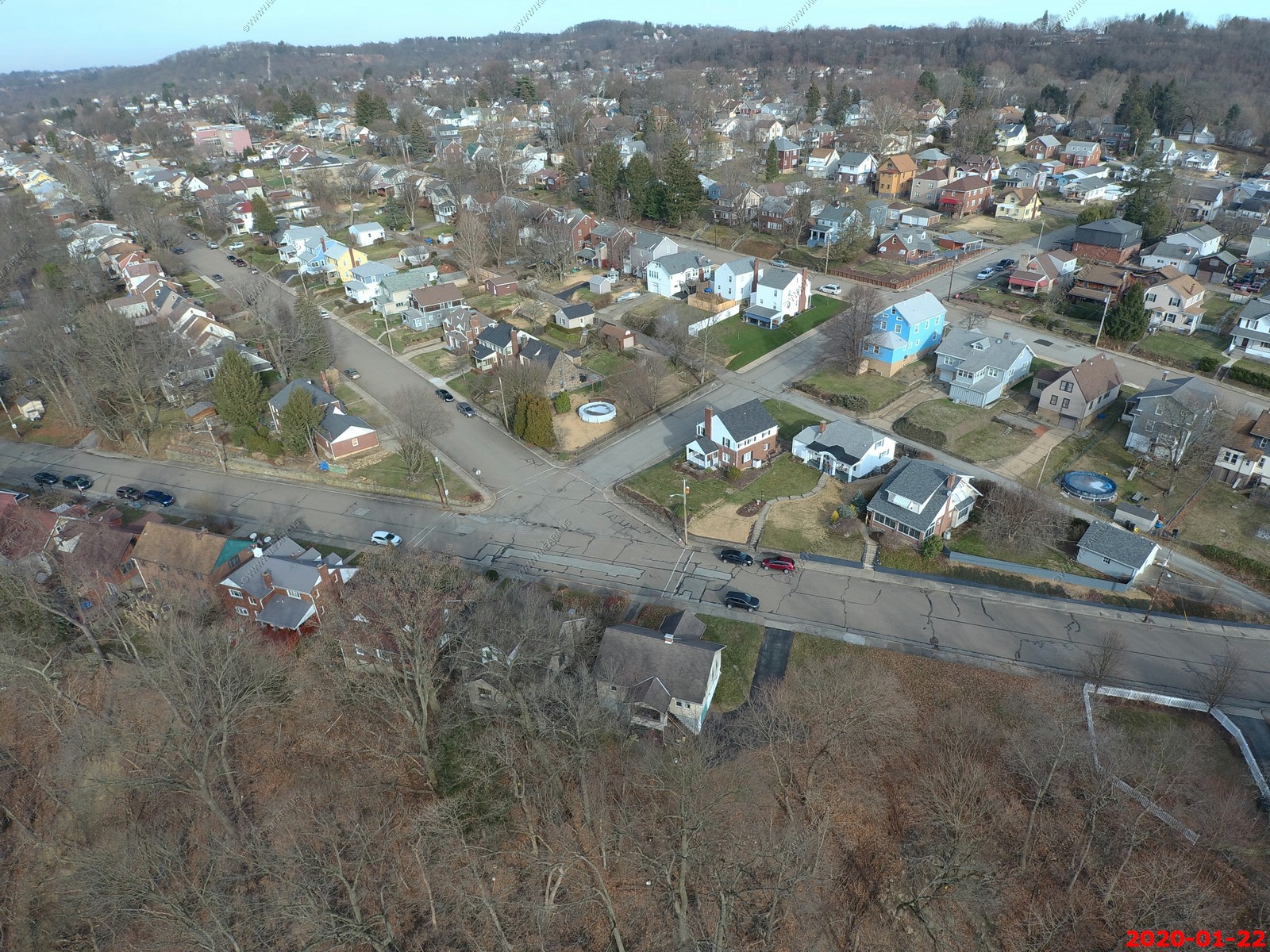
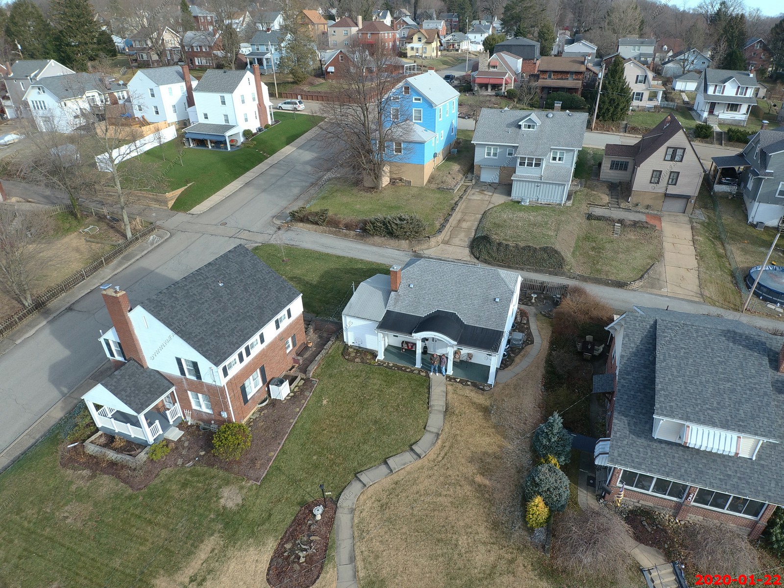
Mt. Vernon - Argonne Drive in the center with Keystone Drive on the right.
You can see the New Kensington Bridge or the Ninth Street Bridge appx. 1 mile away. It's a truss bridge that carries vehicular traffic across the Allegheny River between New Kensington and East Deer Township, Pennsylvania - The bridge was constructed in 1927 to connect Pennsylvania Route 56 (PA 56), which has its terminus on the New Kensington side of the bridge, and PA 28, the major west bank artery. Today, PA 28 has become a freeway, and the former highway is known as Freeport Road. The bridge is named for former Democratic State Senator C. L. Schmitt, who represented a suburban and rural district on the east bank of the Allegheny and who is considered the father of consumer protection laws.
Mt. Vernon - Argonne drive on left, Keystone center and Pershing Right. You can see the Mt. Vernon elementary school on Pershing now a apartment building.
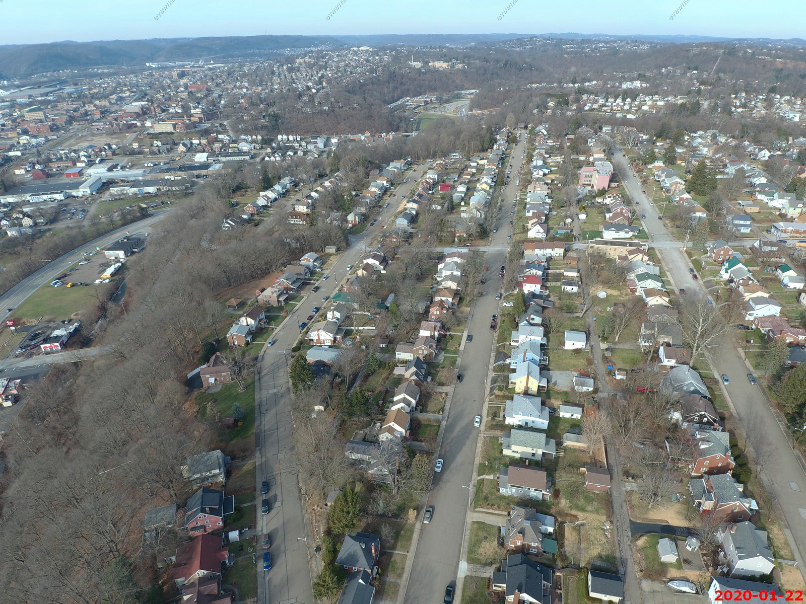
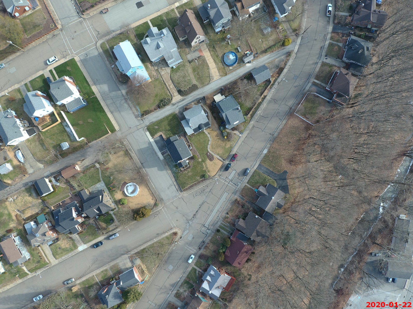
Mt. Vernon Keystone on left. Pershing center & Riverview & Vernon right.
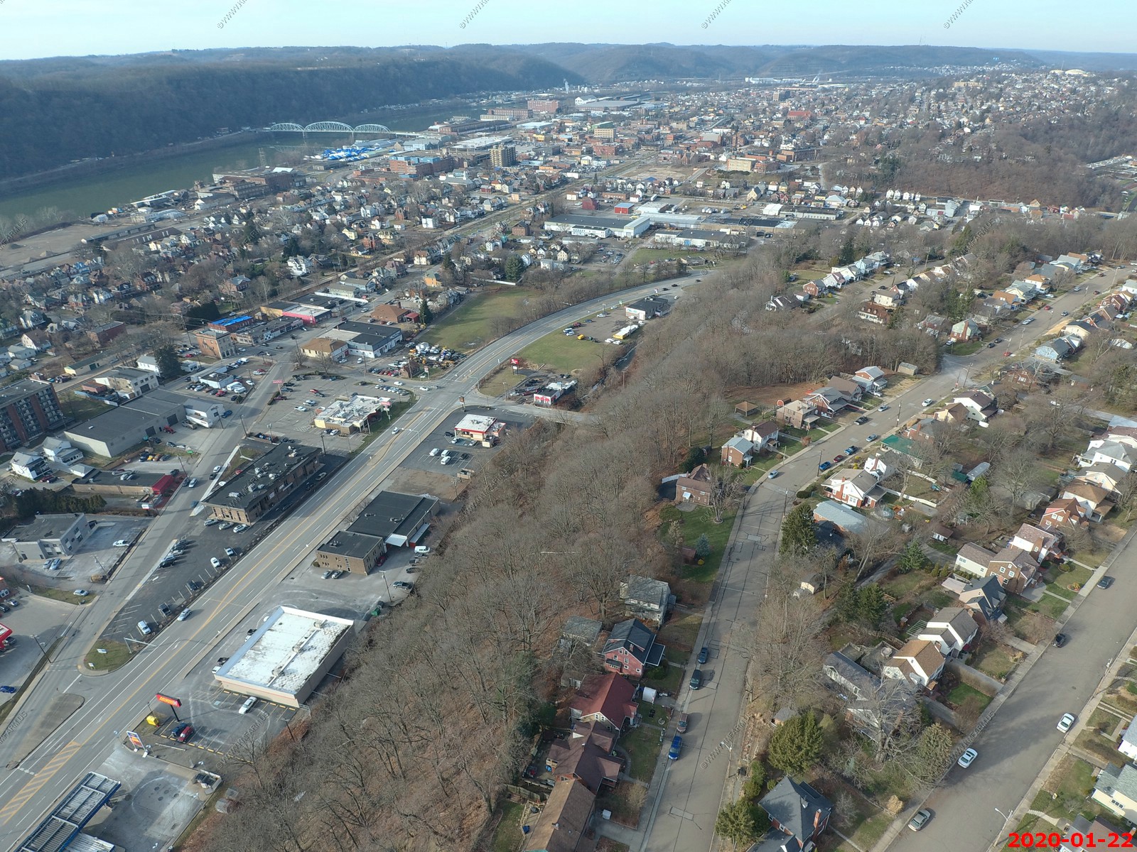
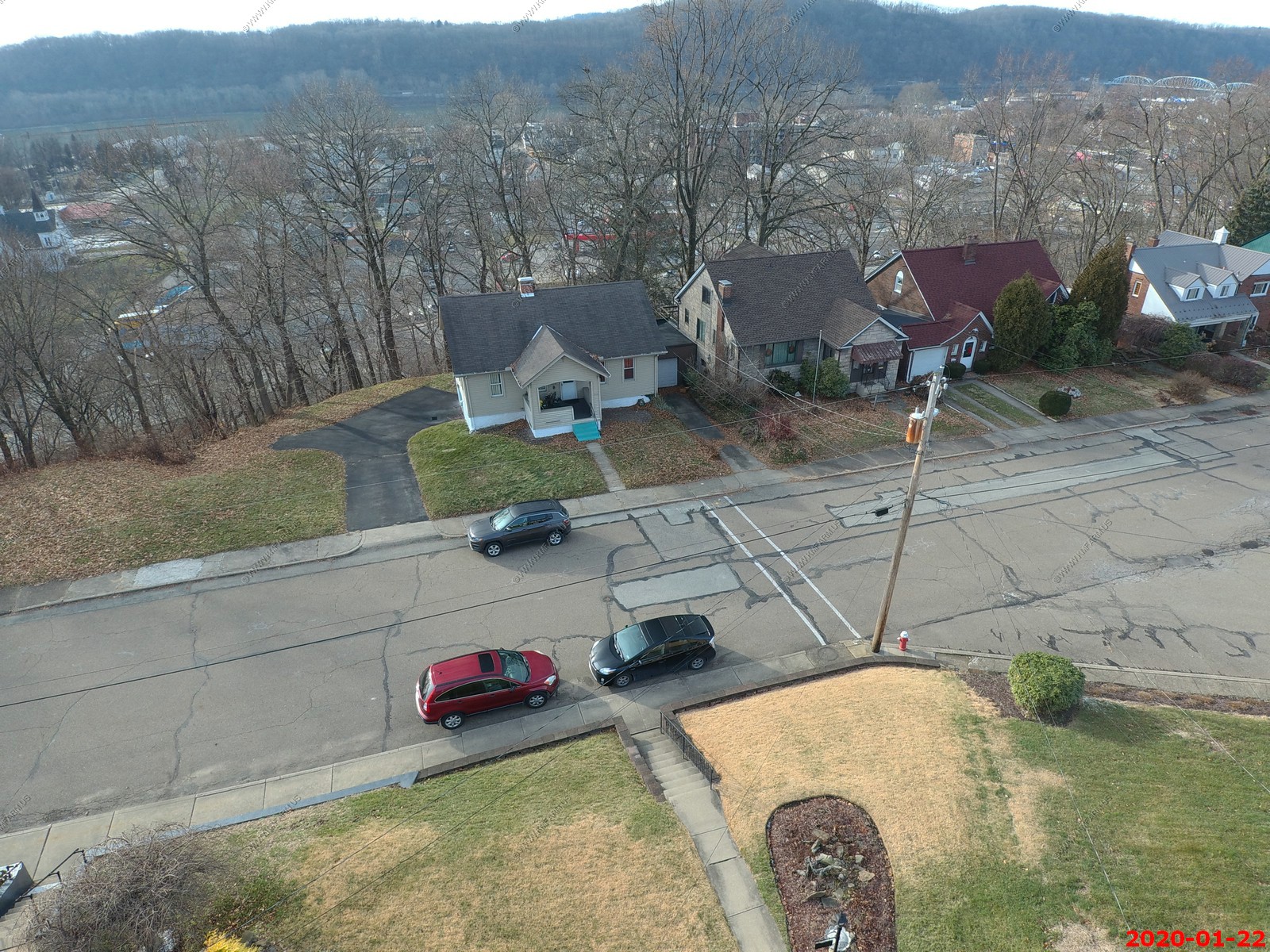
Looking out Greensburg Road (RT 366) This valley had considerable coal mines 100 years ago and had some major loss of life in various accidents.
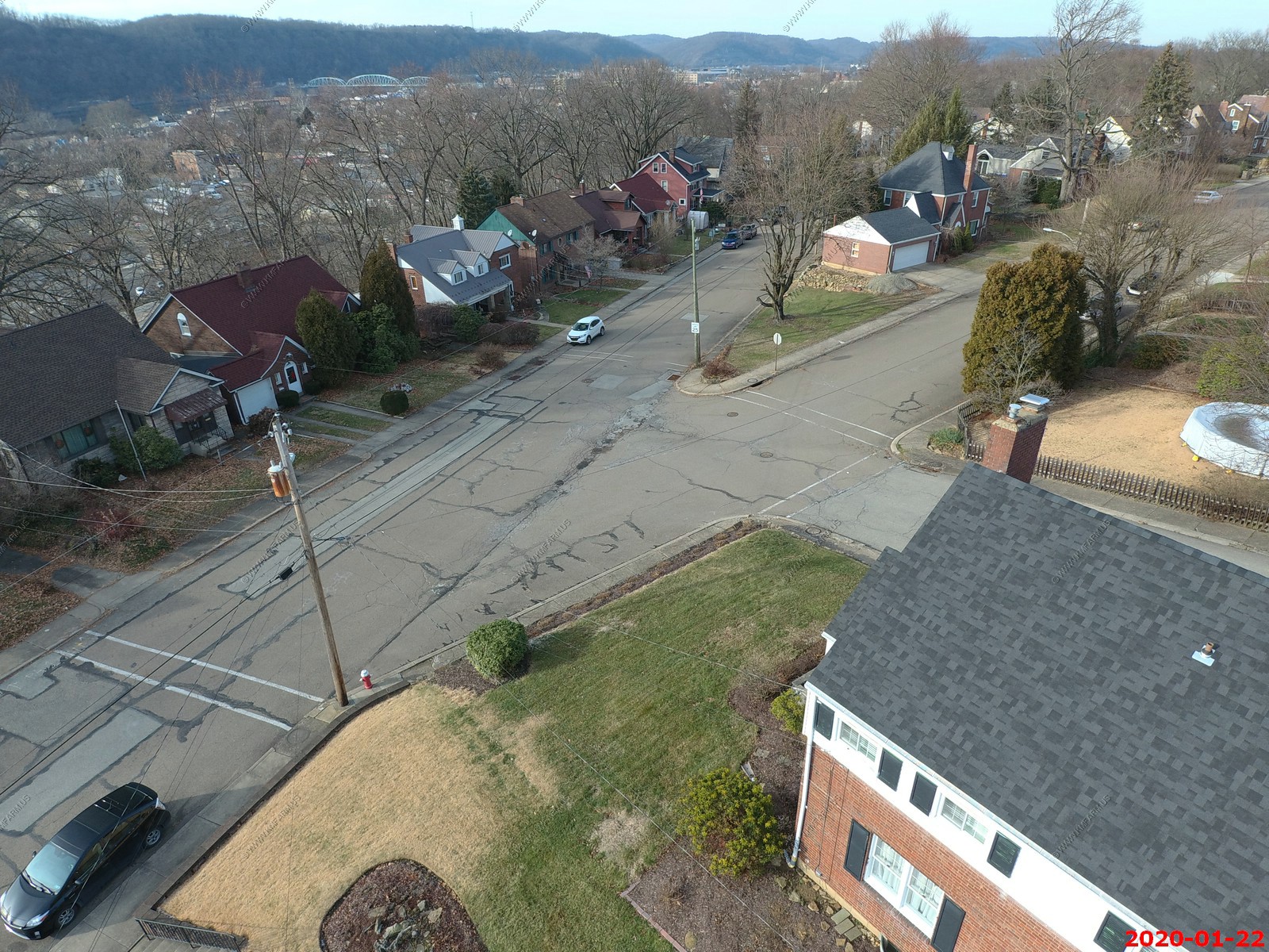
Argonne loops around and Center street is left of center. You can see the city water tank up on the hill which I assume supplies this side of New Kensington. The pump house is along 7th street and Riverview.
Changed the angle and elevation on these photos.
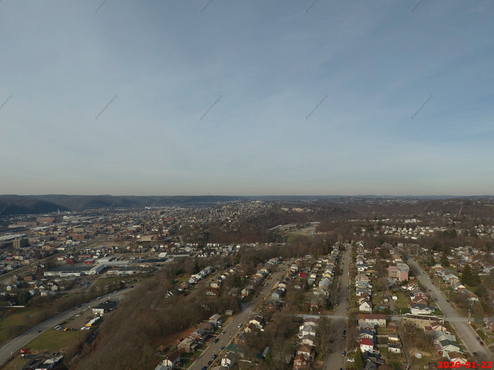
I moved the drone a bit west over the creek to be able to look back at Mt. Vernon. I was up 200 feet in these photos
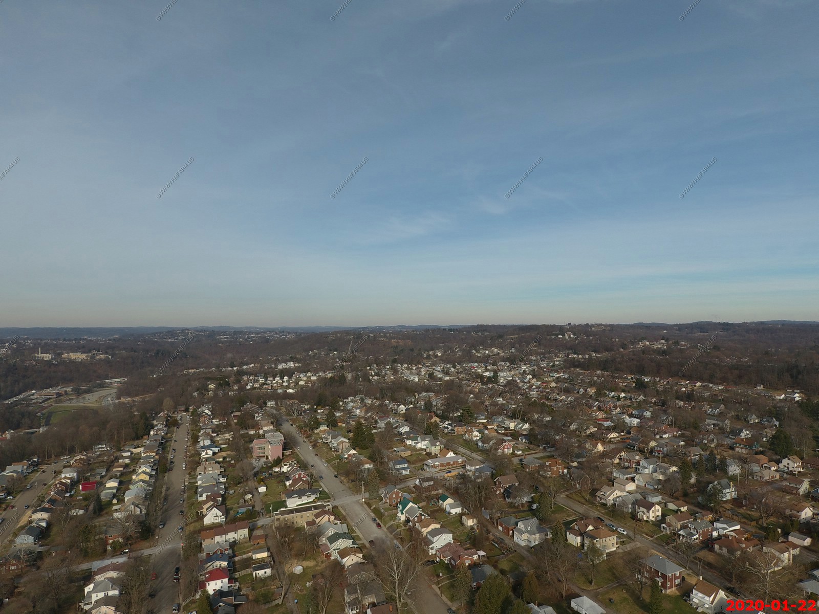
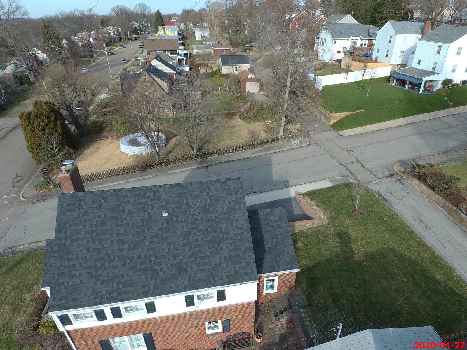
Just over my mom's house
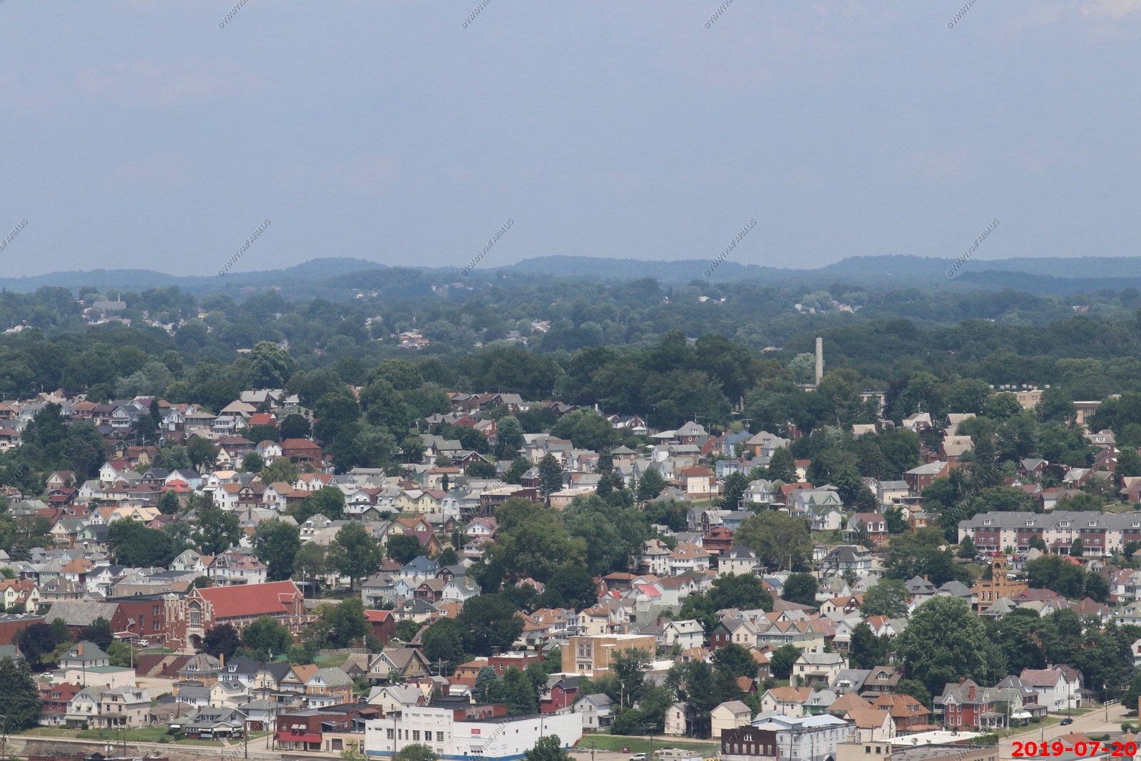
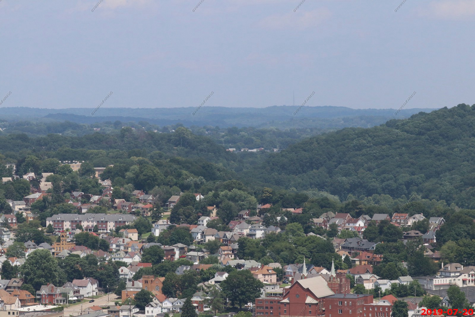
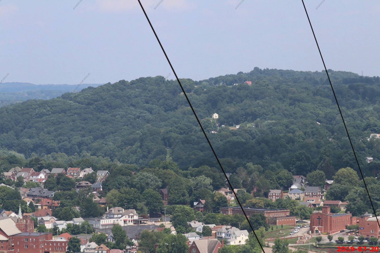
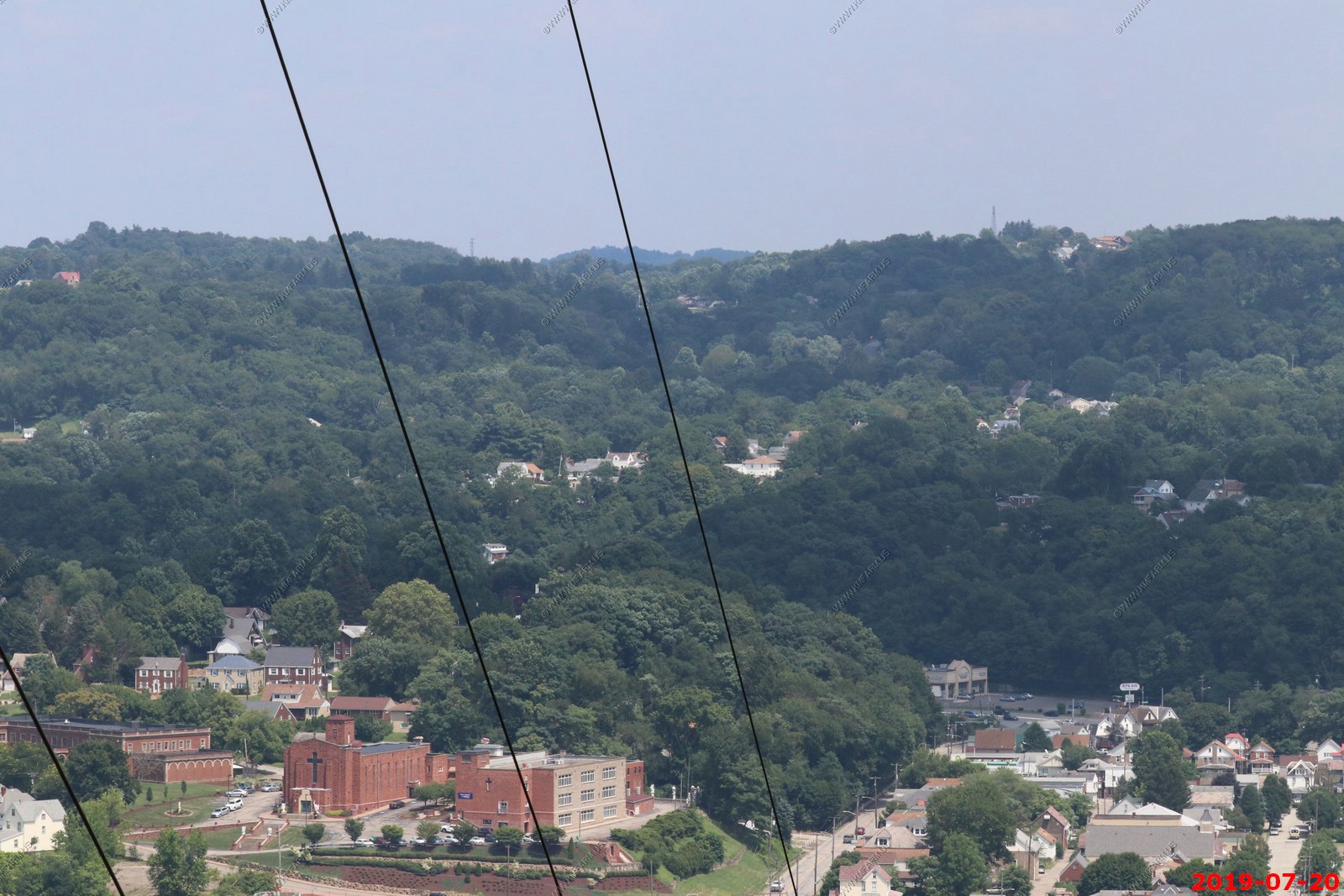
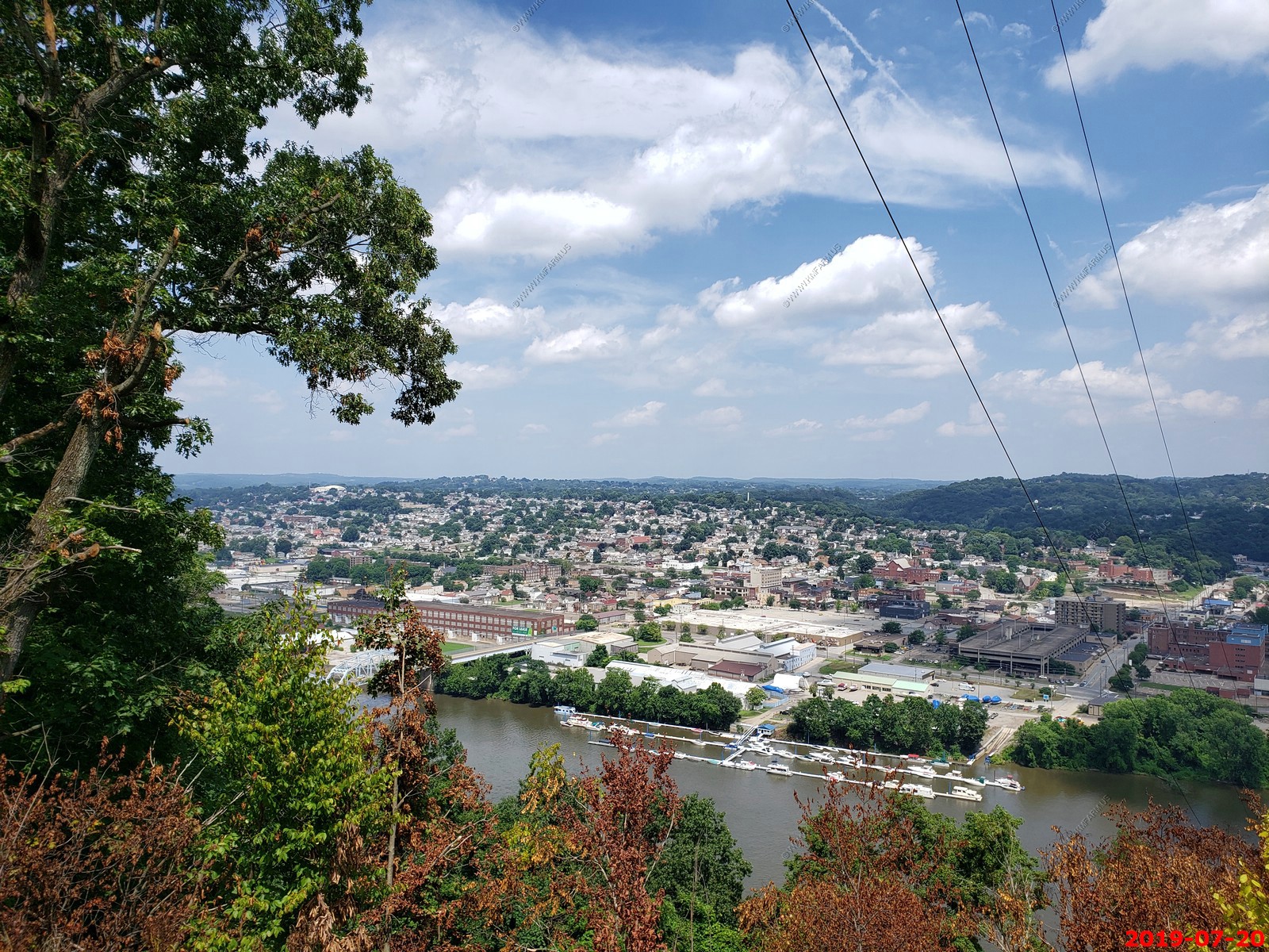
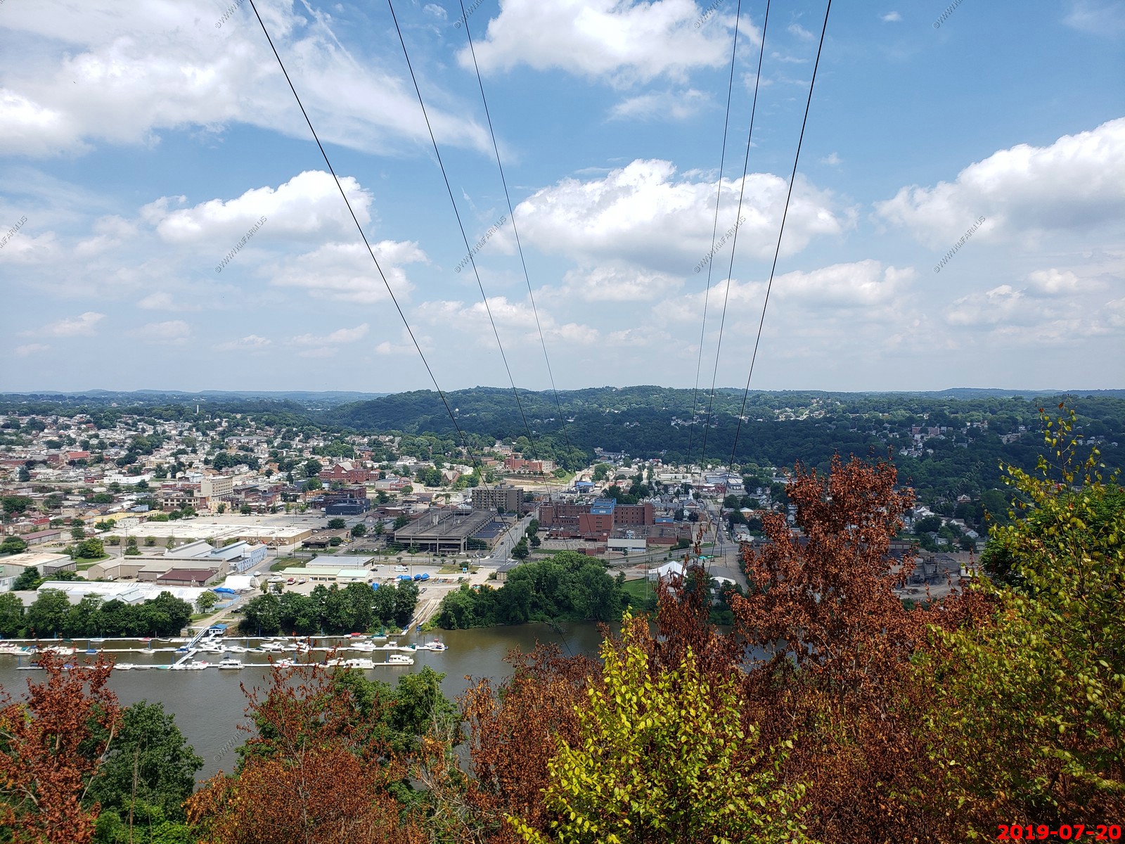
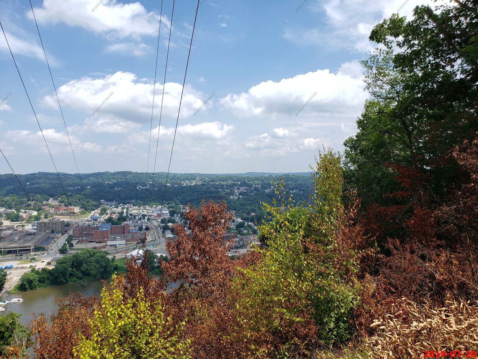
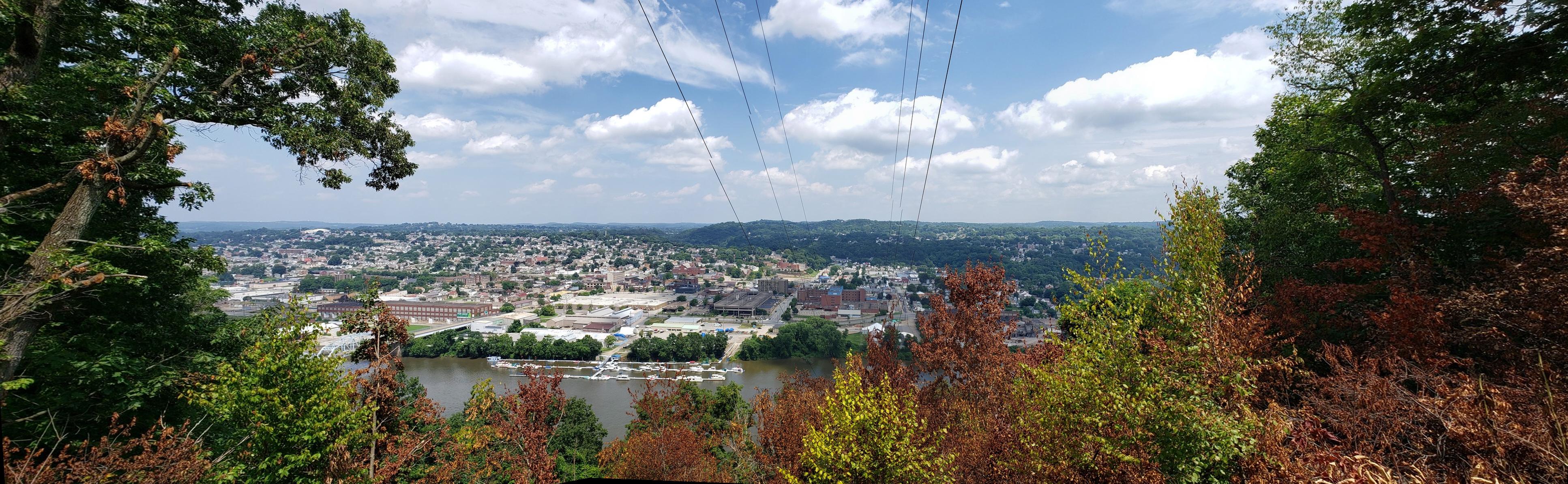
JUL-2019 - Views of New Kensington, Pennsylvania from Agan Park.
All photos taken with a Canon EOS-80D with a EF 100-400mm f/4.5-5.6L IS II USM lens
Agan Park is located across the river from New Kensington at a appx. elevation of 1,100 feet. The river is at 760 feet so you have a considerable drop-off for this part of the country.
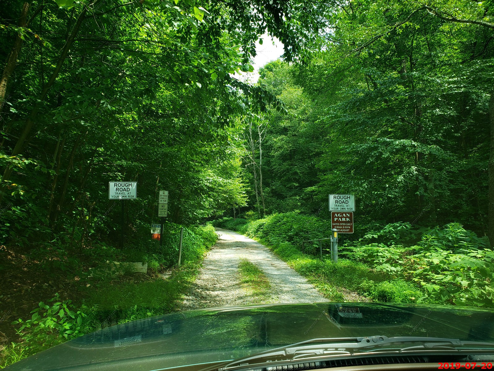
The entrance to the park off of Riddle Run Road at (40.5598372N -79.7812475W)
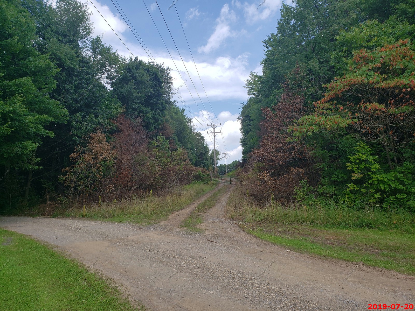
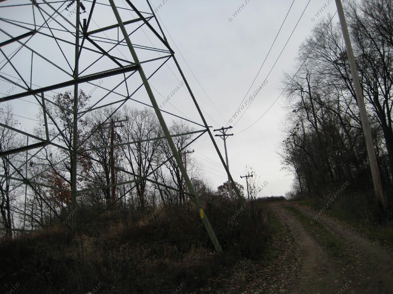
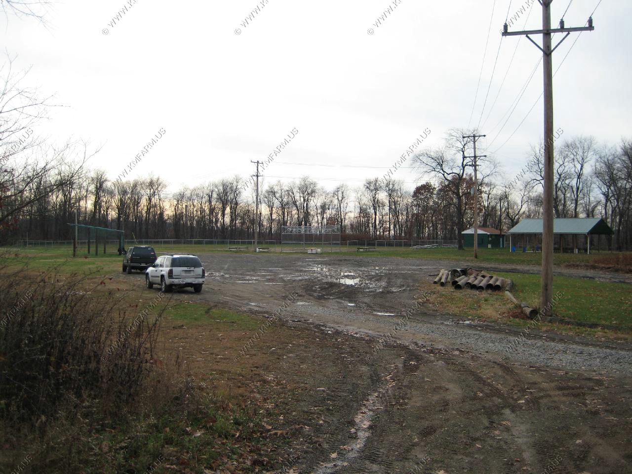
Once you get up to the ball field area, this is the right-away up to the view near the powerlines.
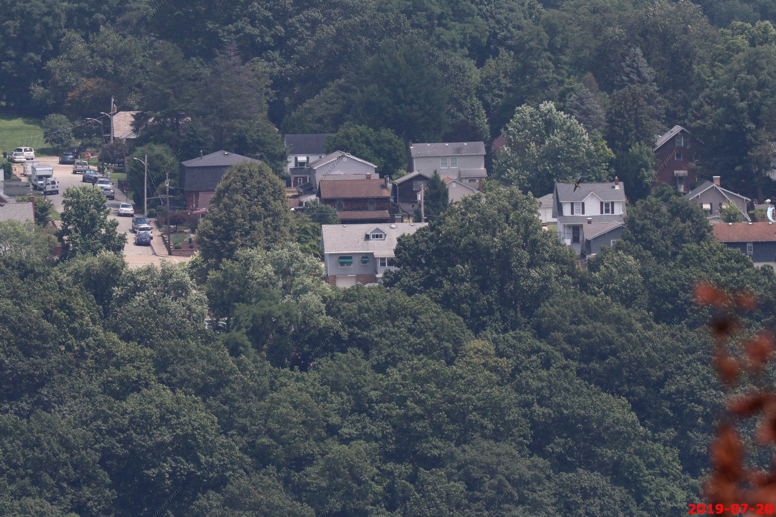
Looking across to Mt. Vernon to the 200 block of Argonne Drive.
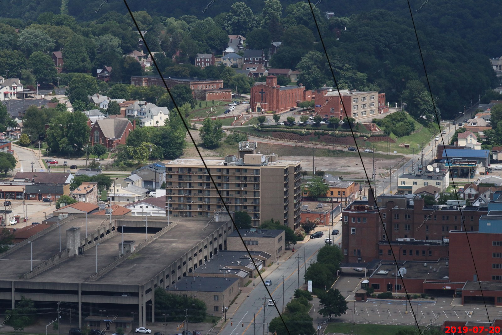
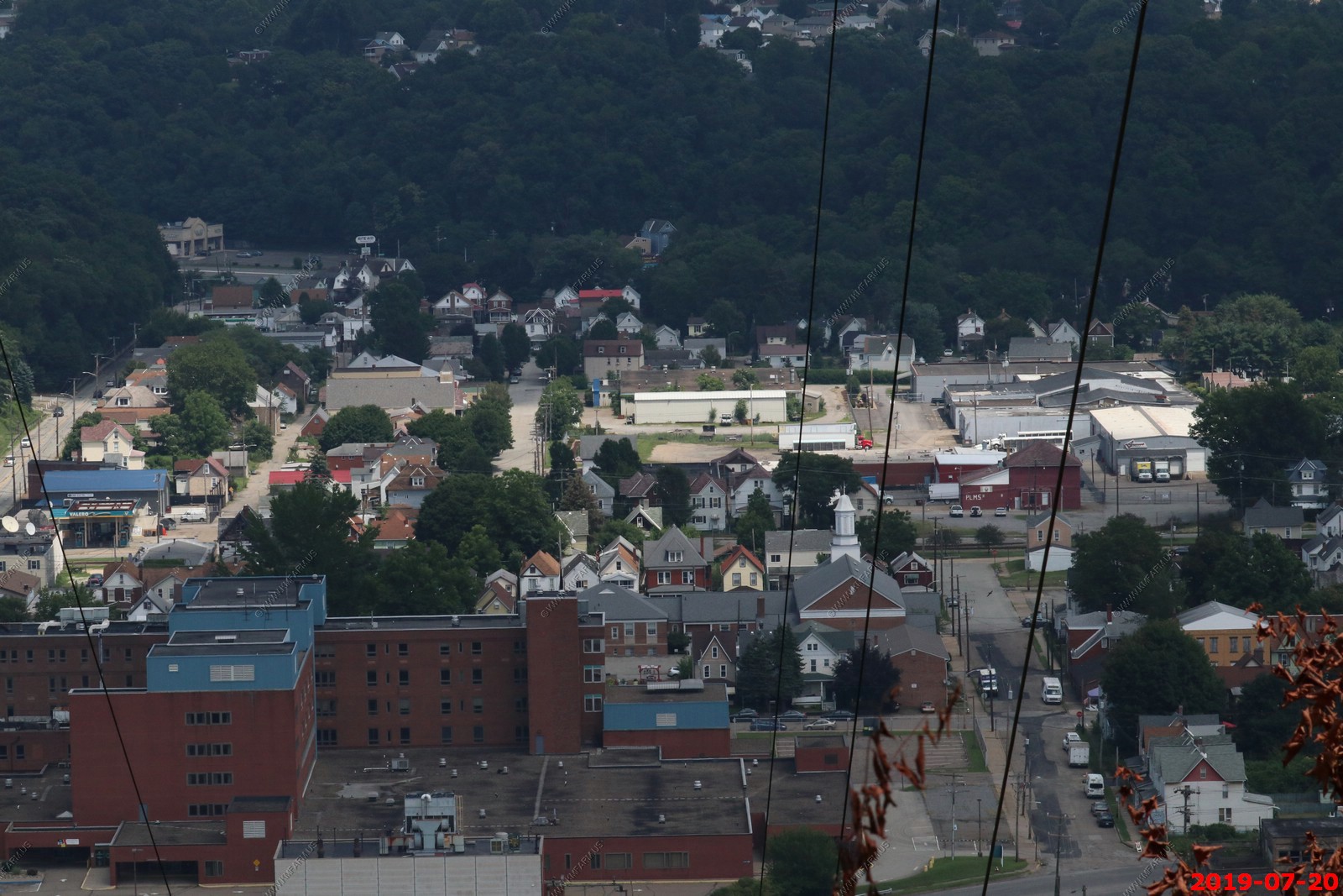
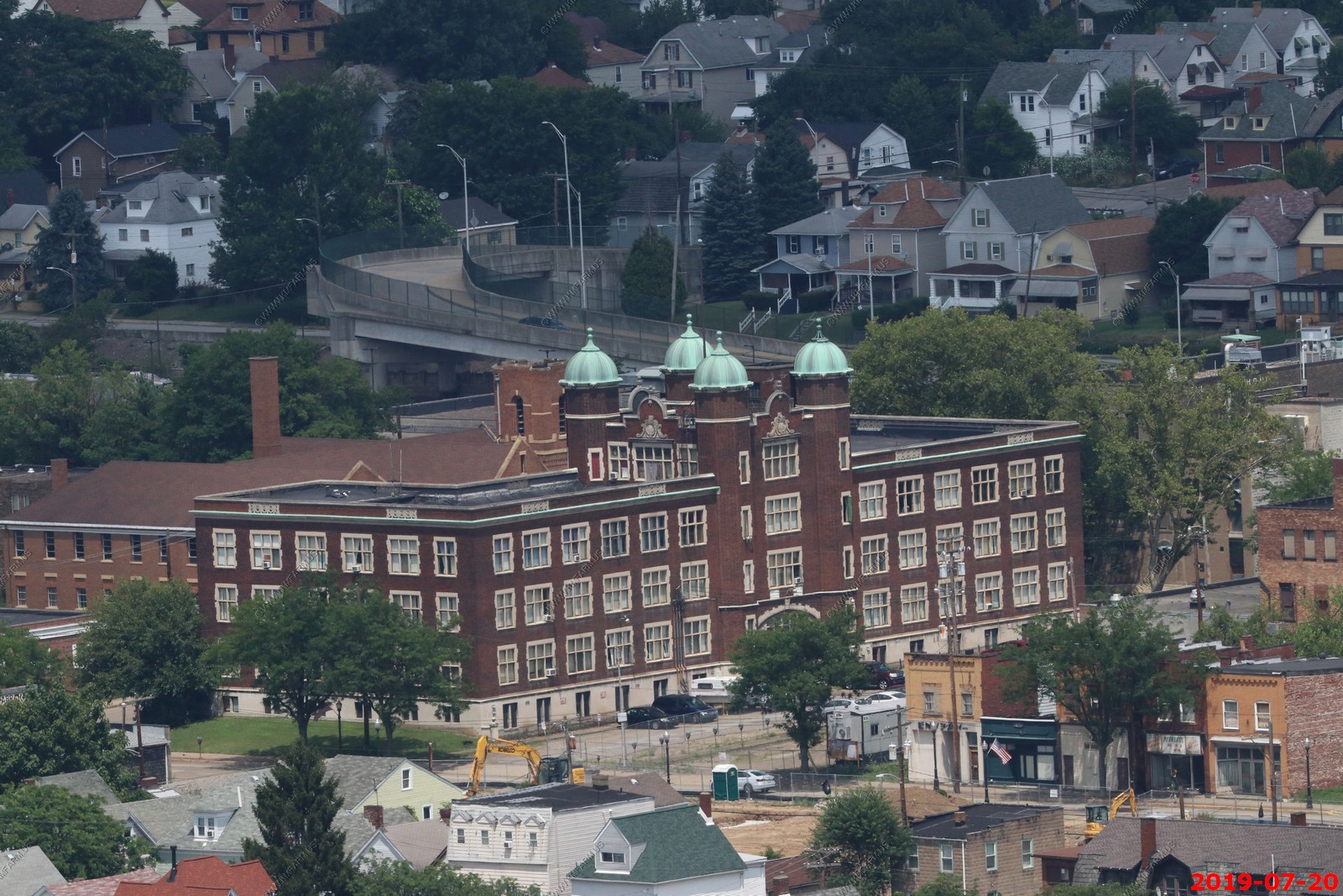
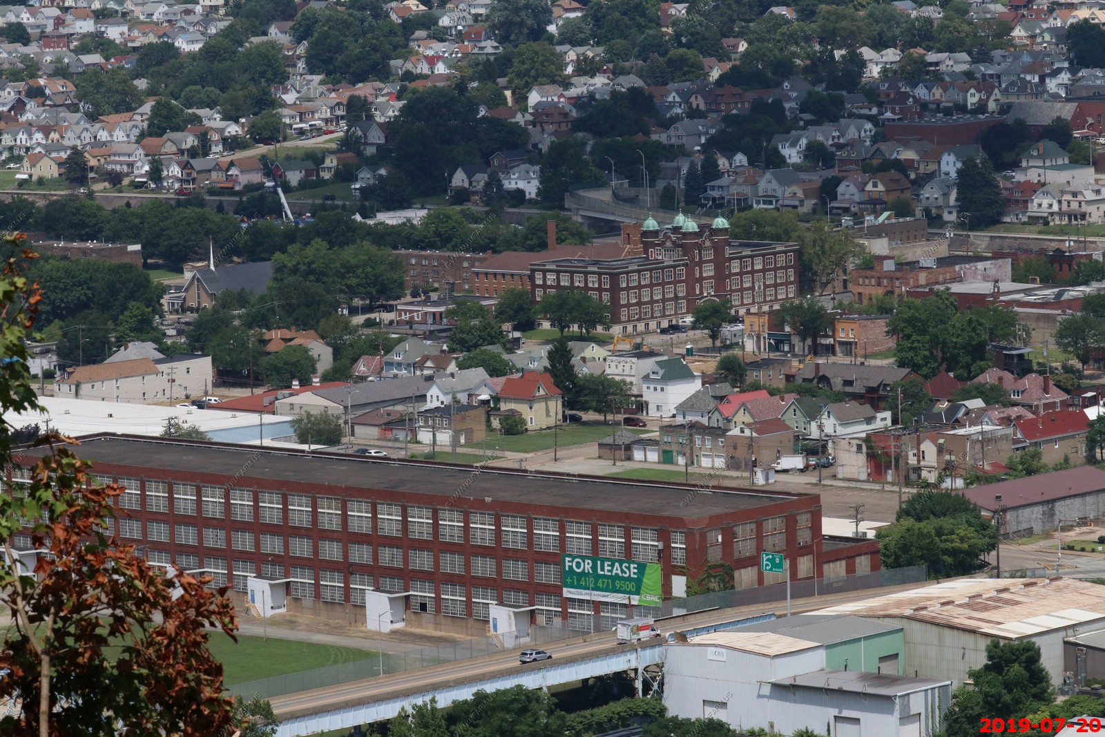
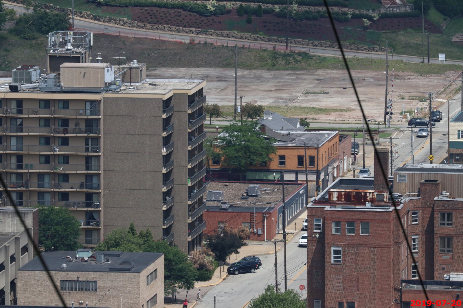
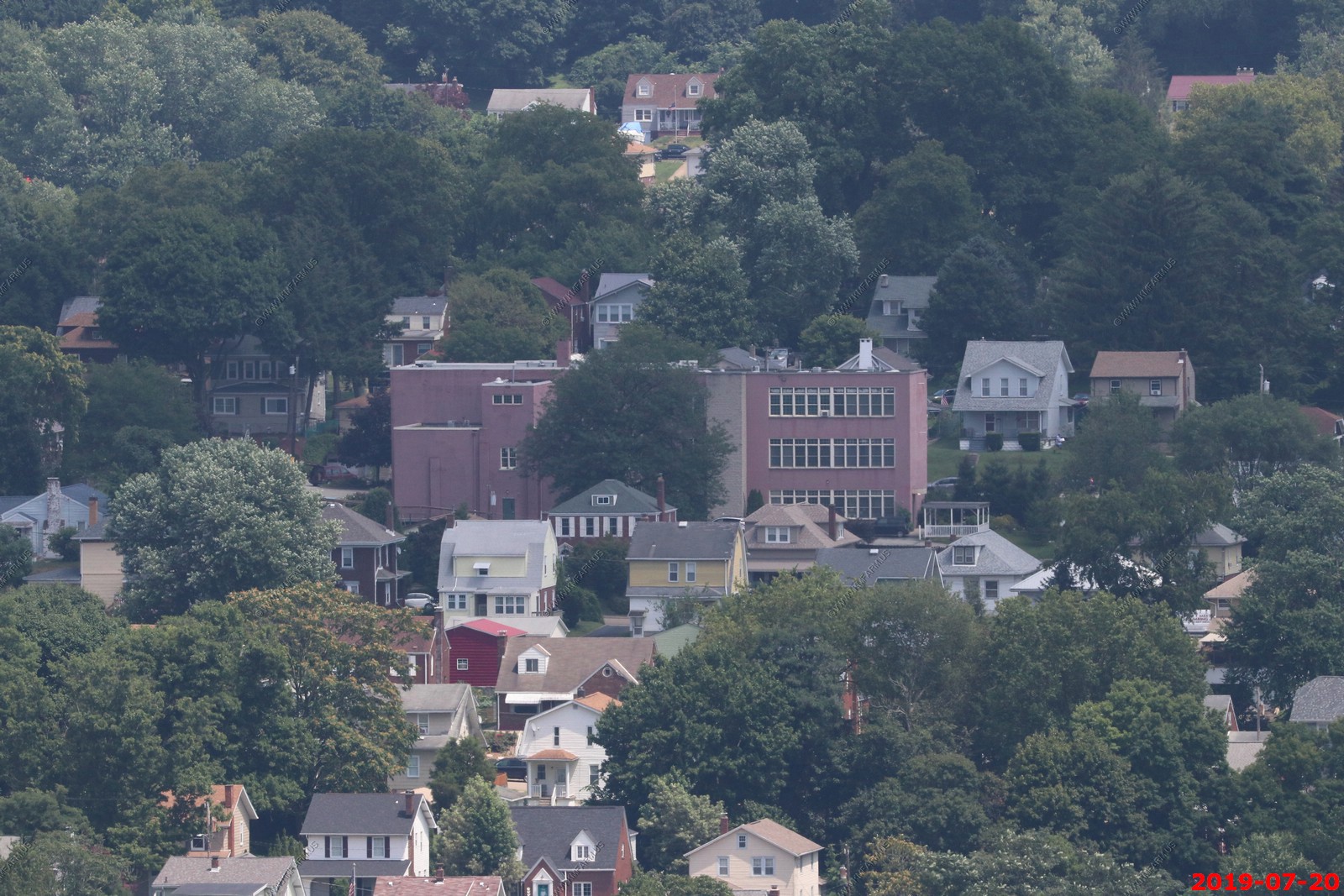
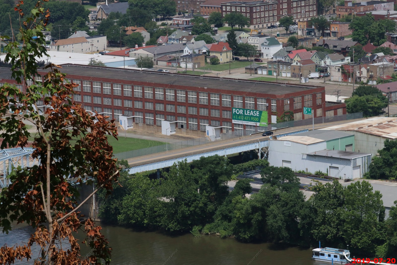
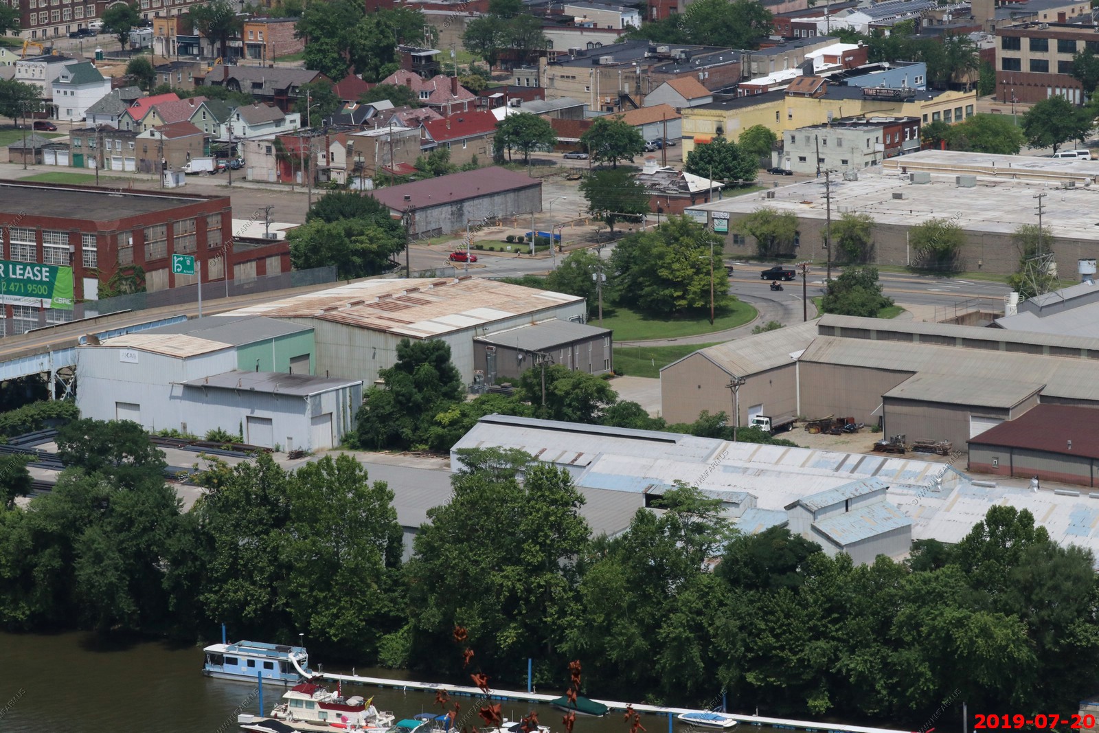
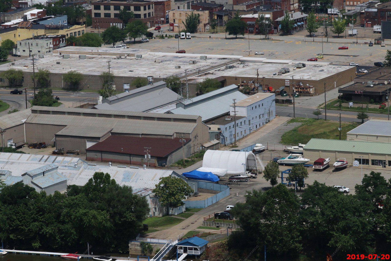
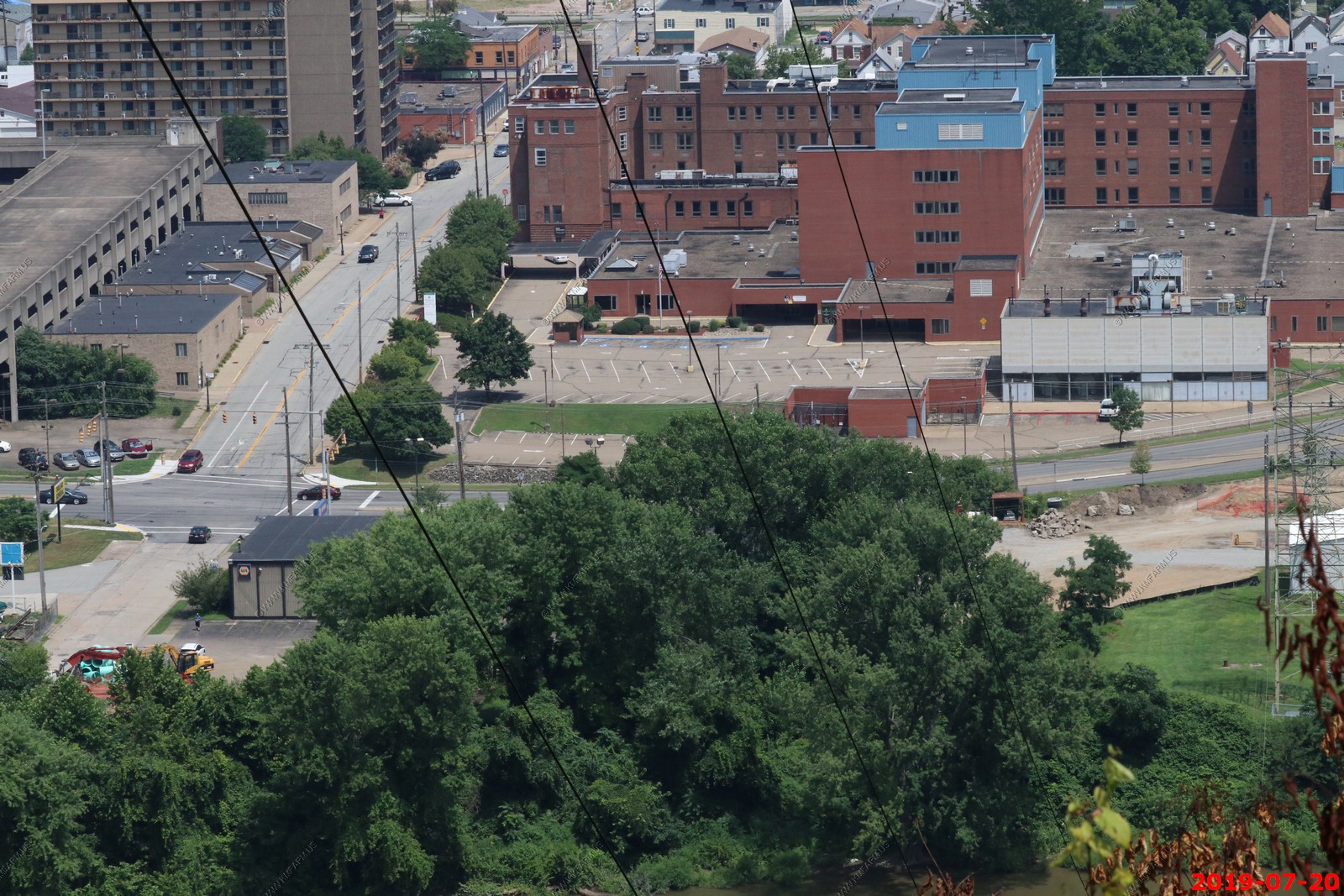
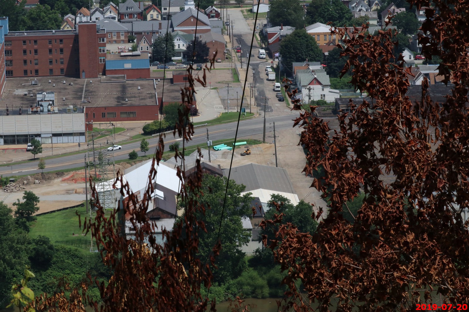
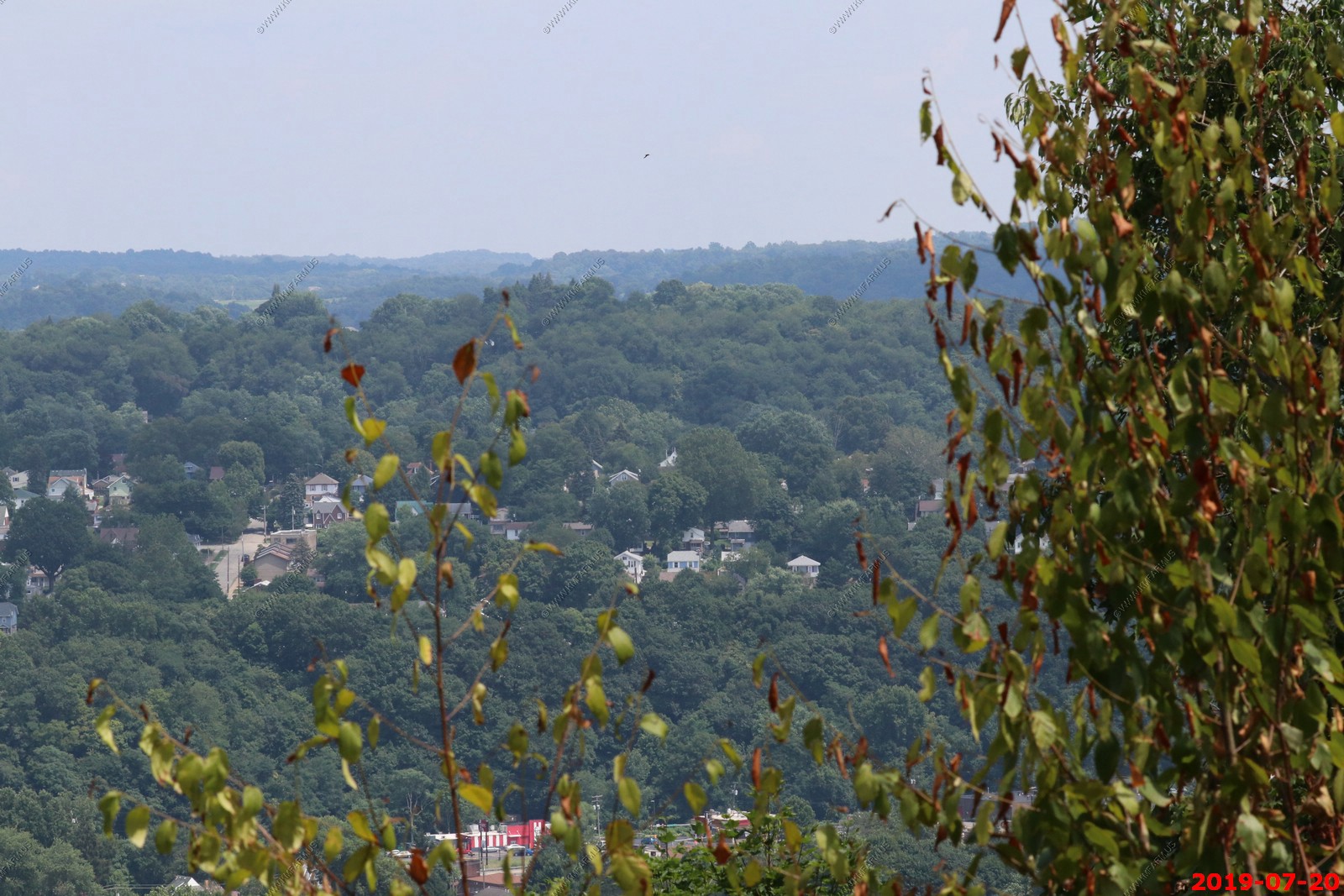
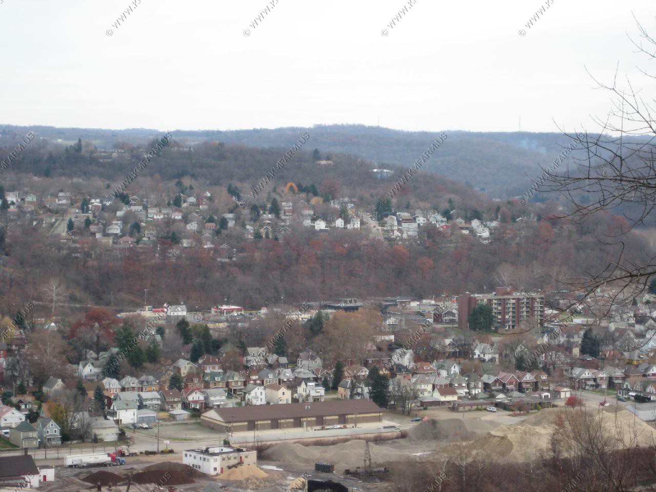
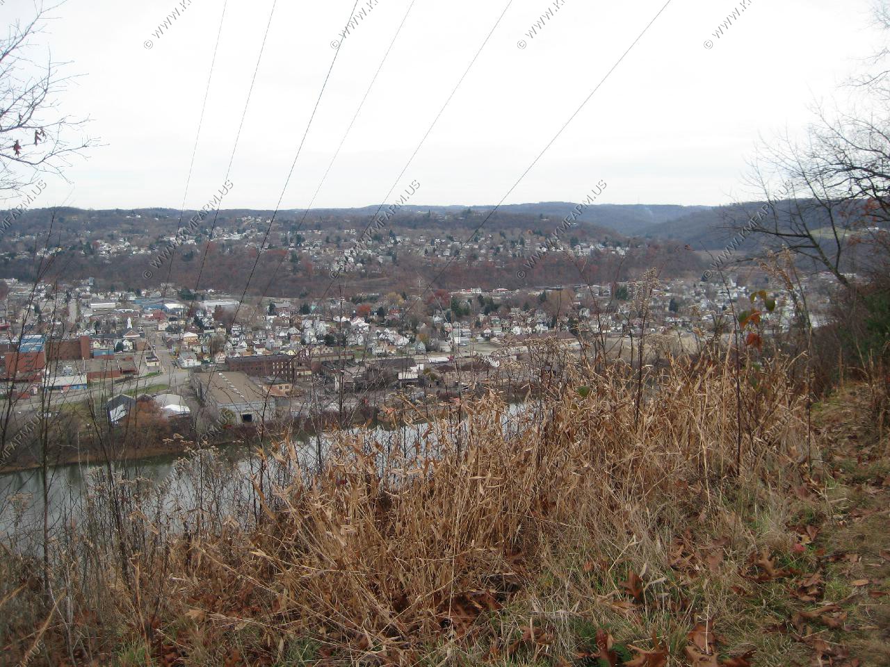
Various views of New Kensington
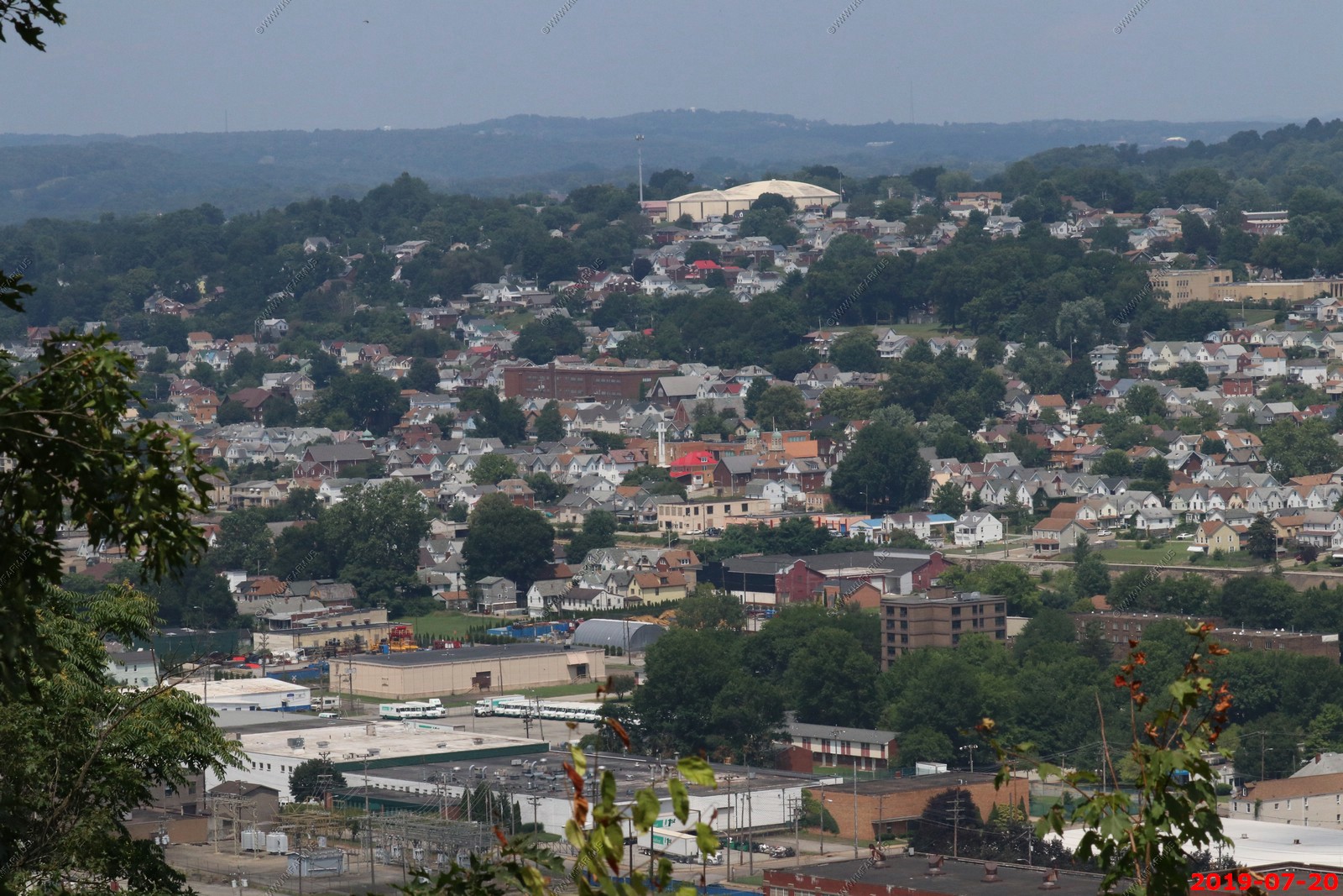
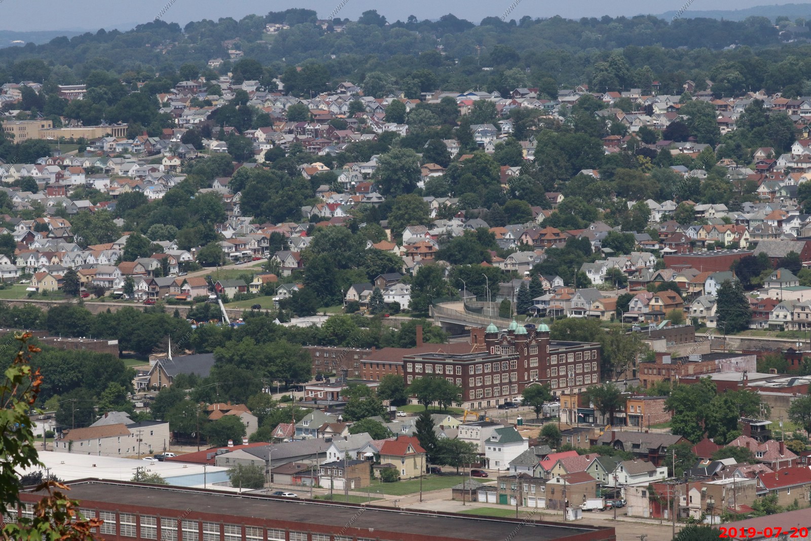
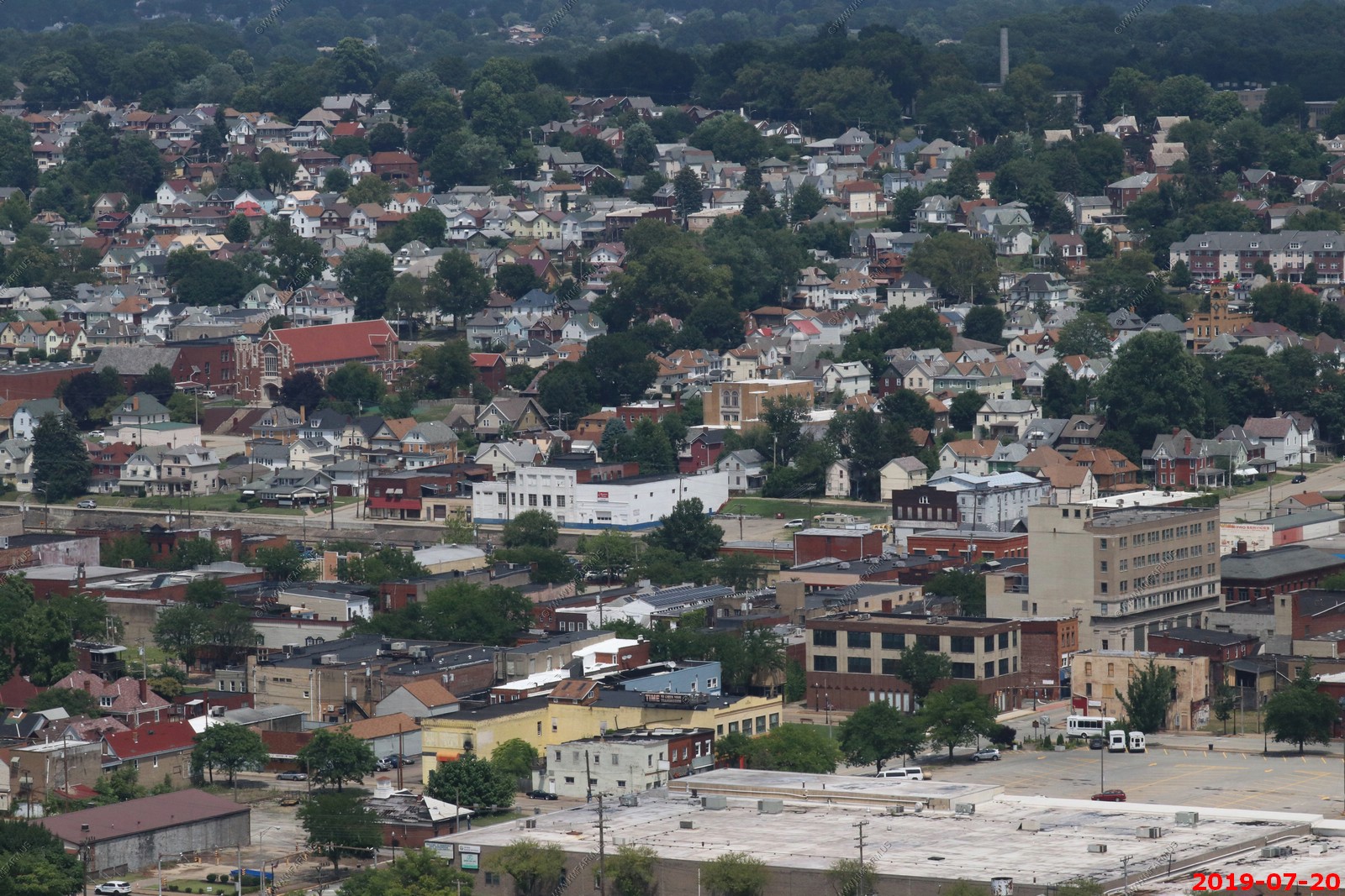
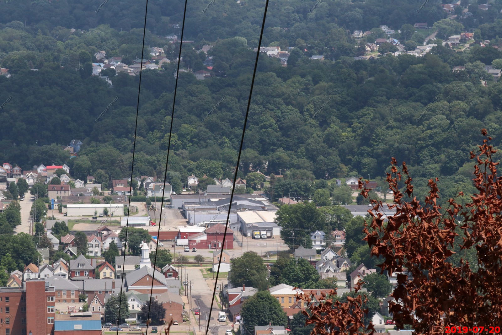
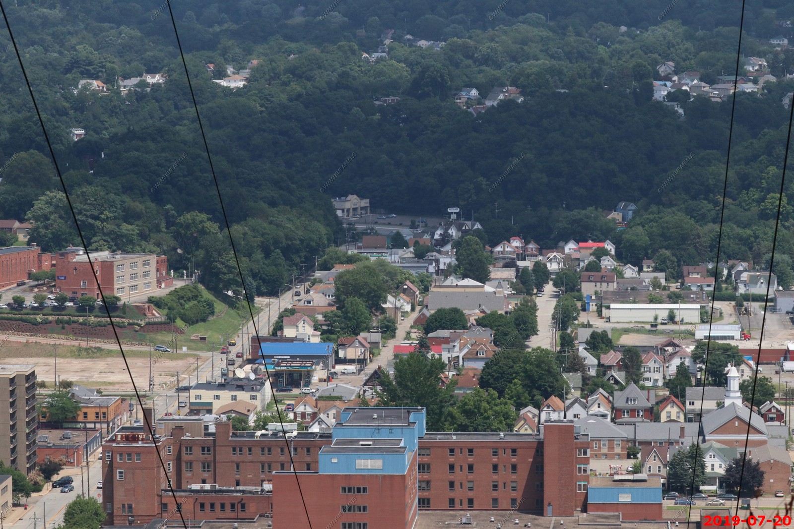
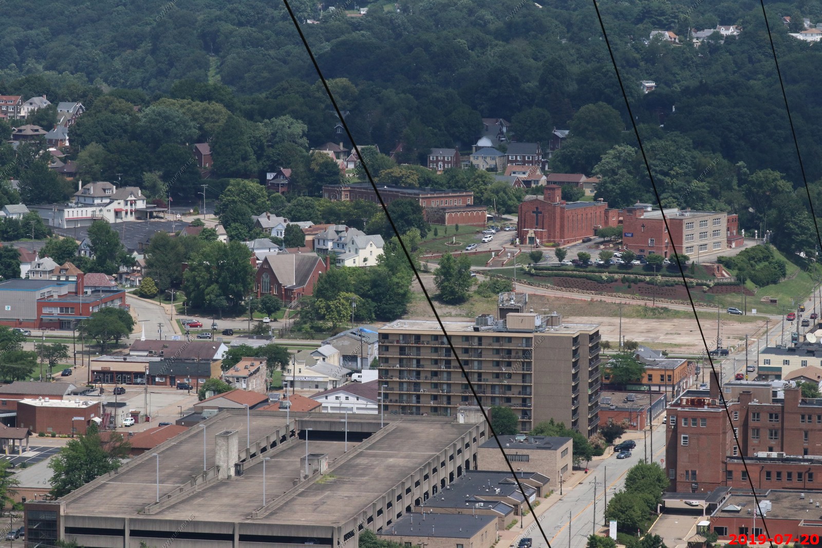
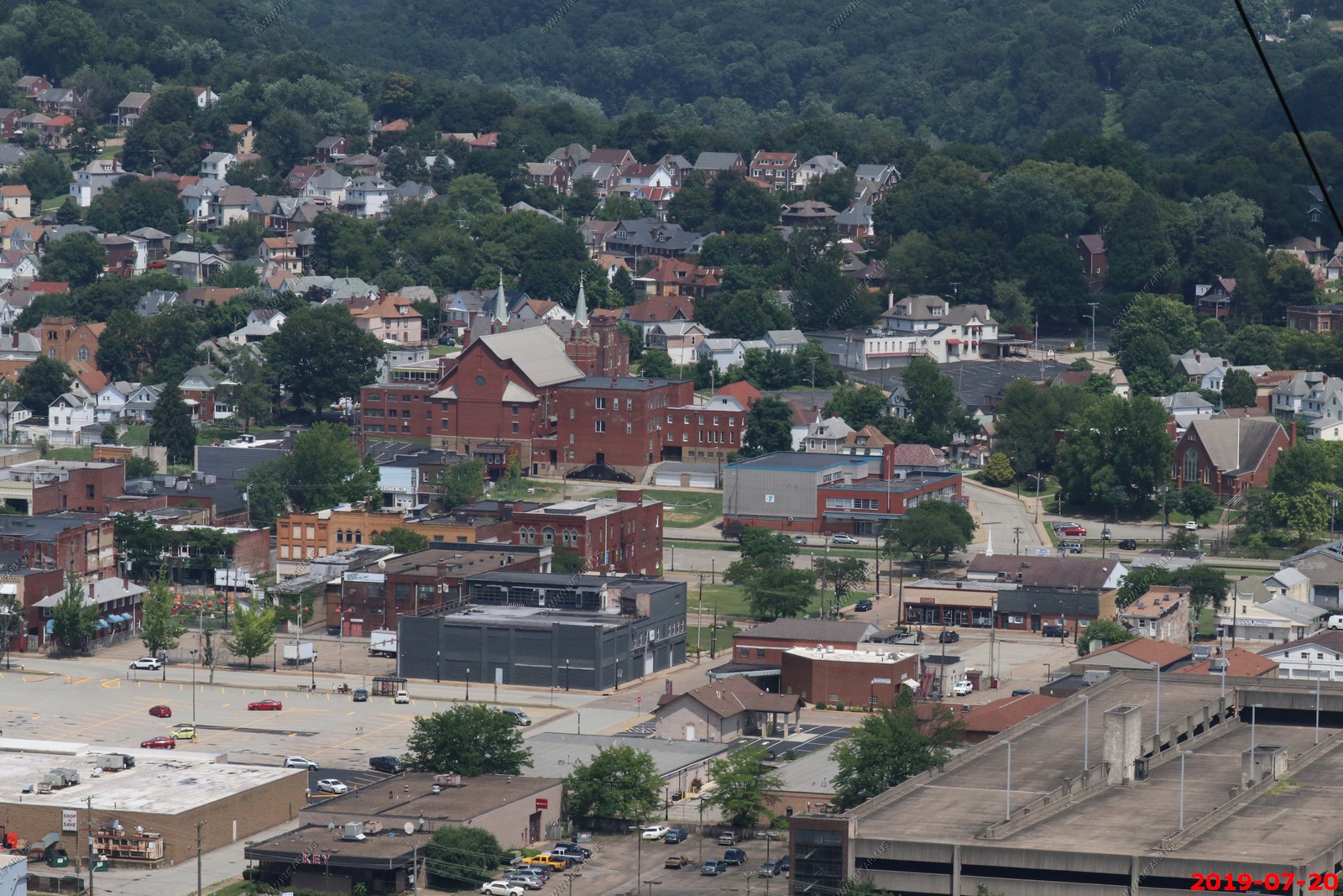
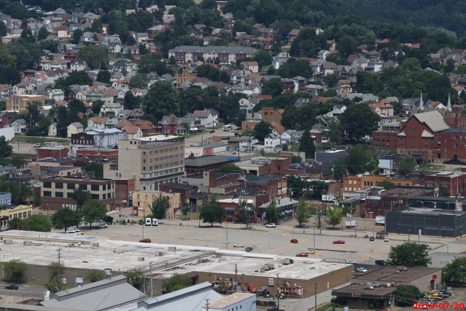
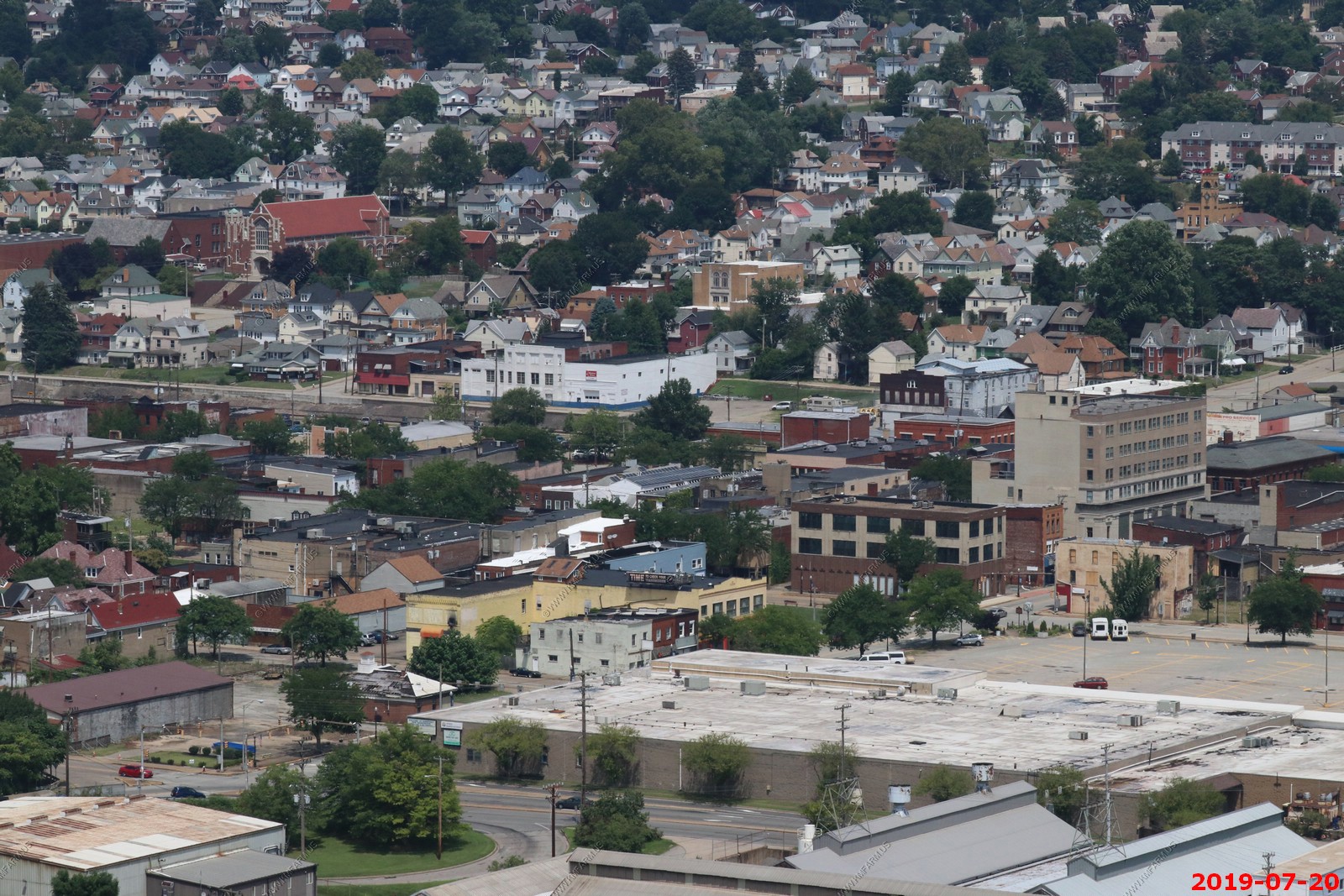
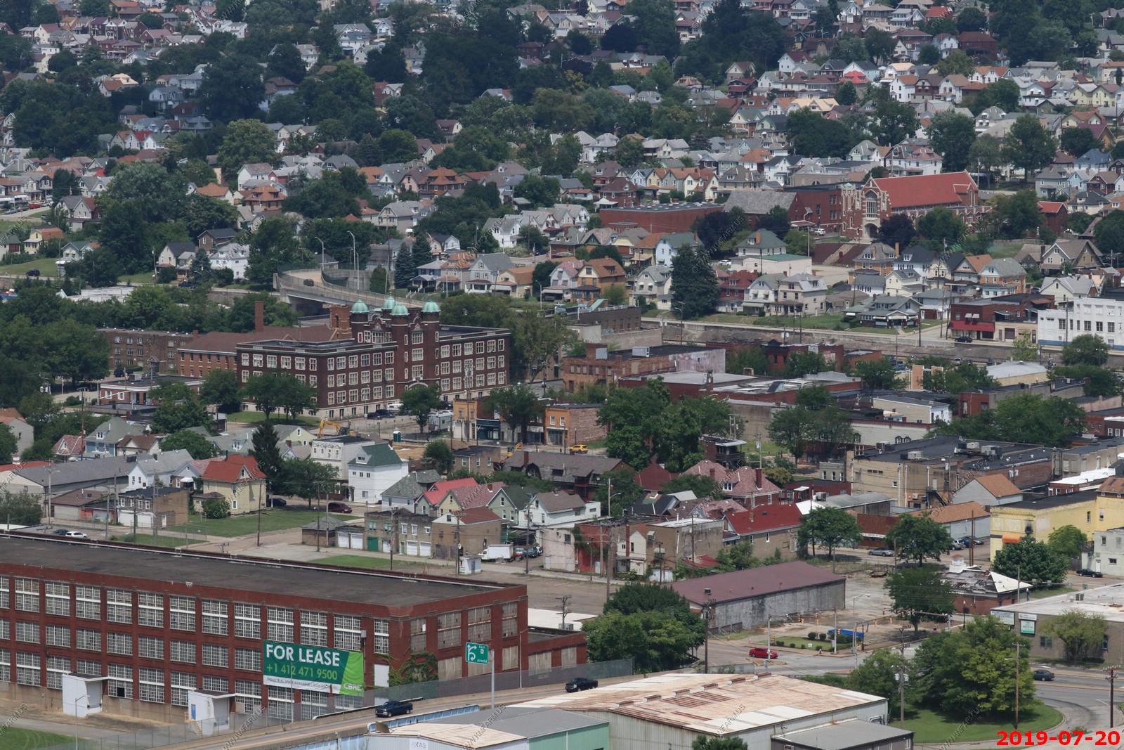
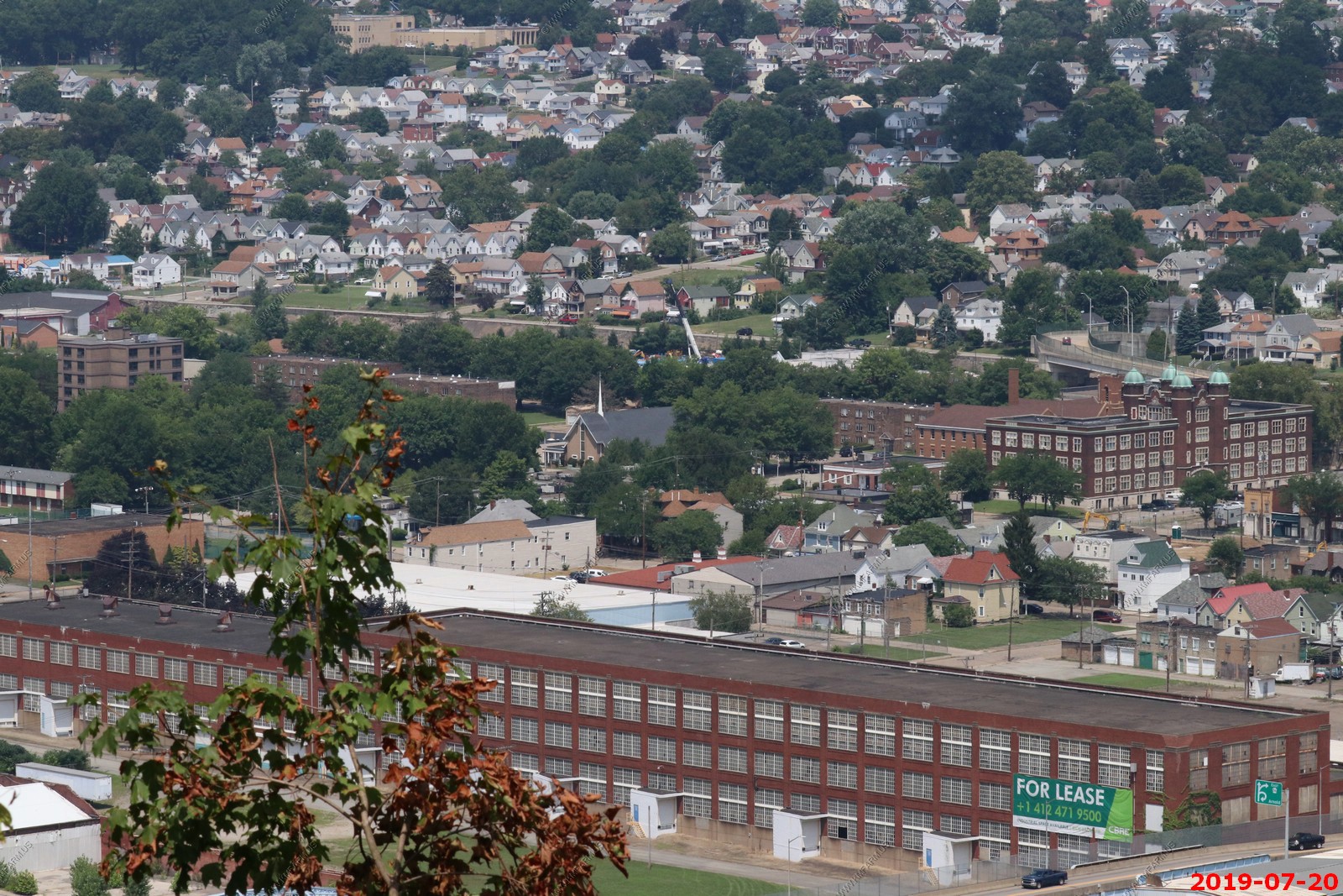
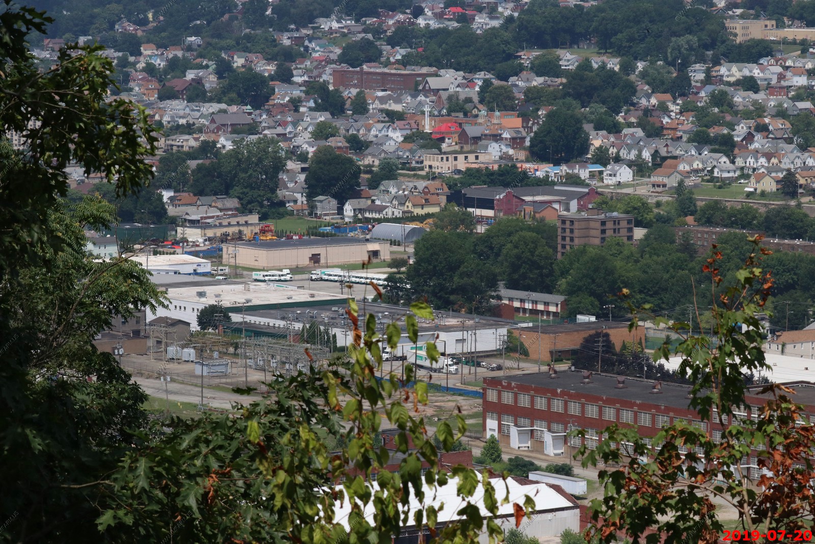
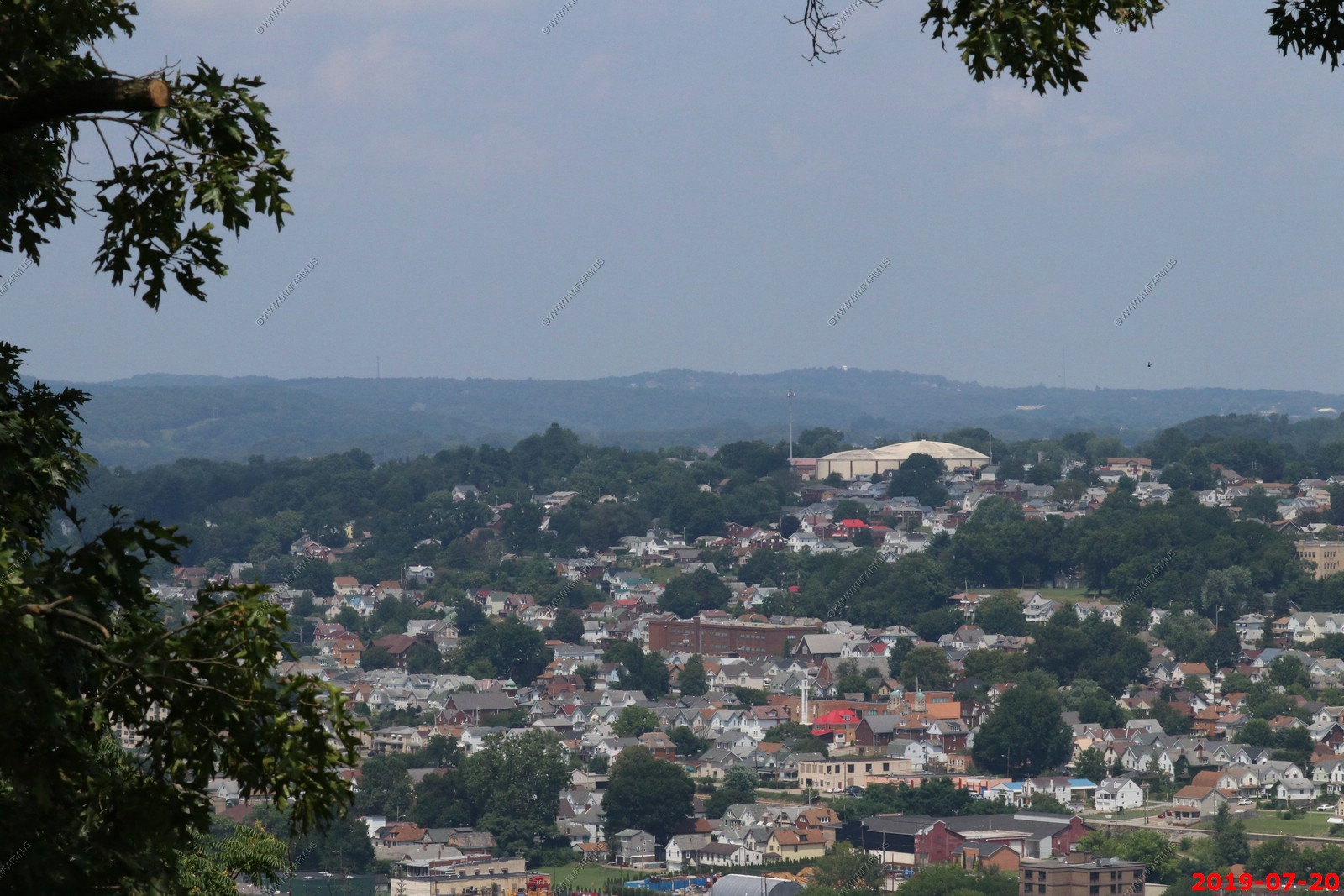
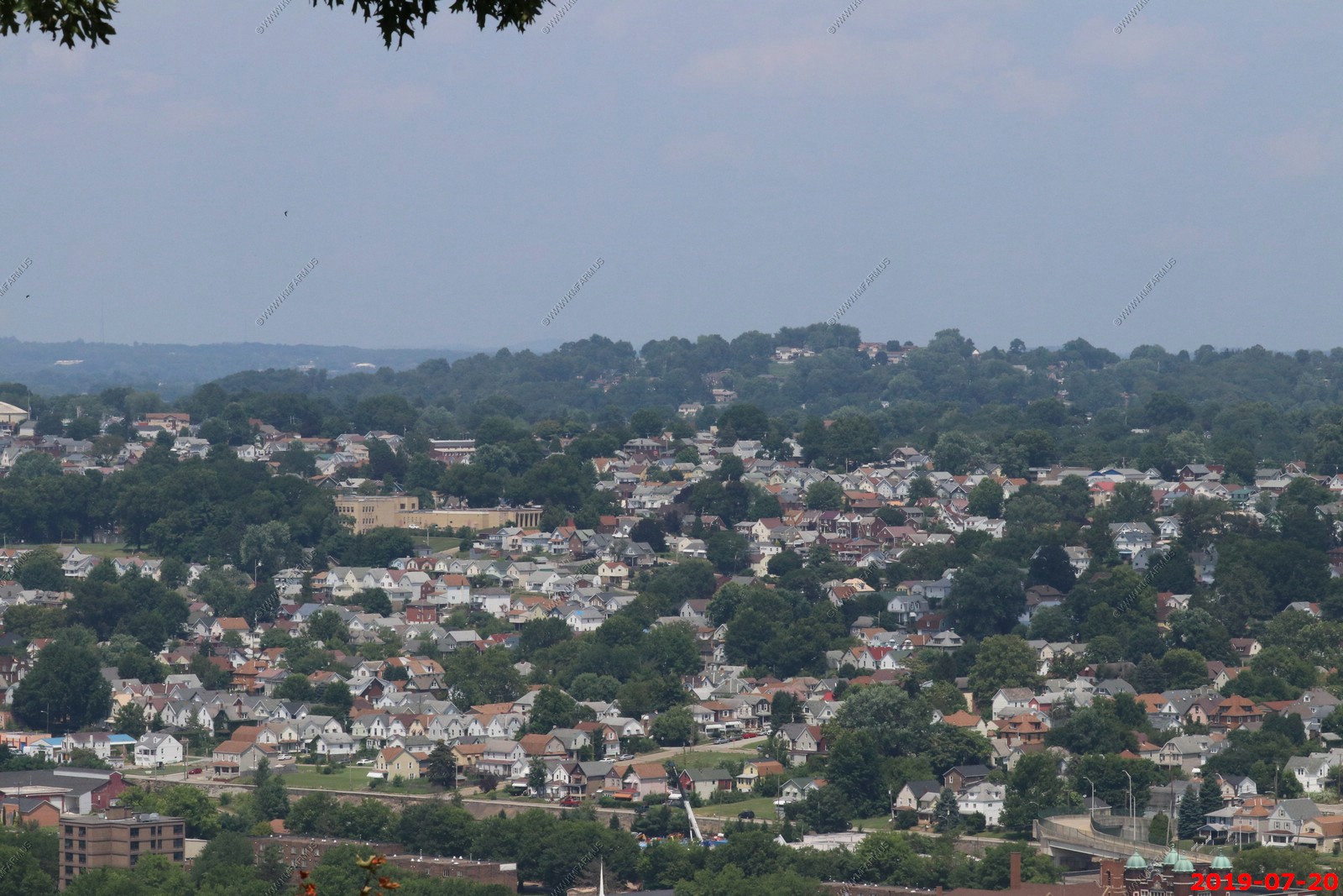
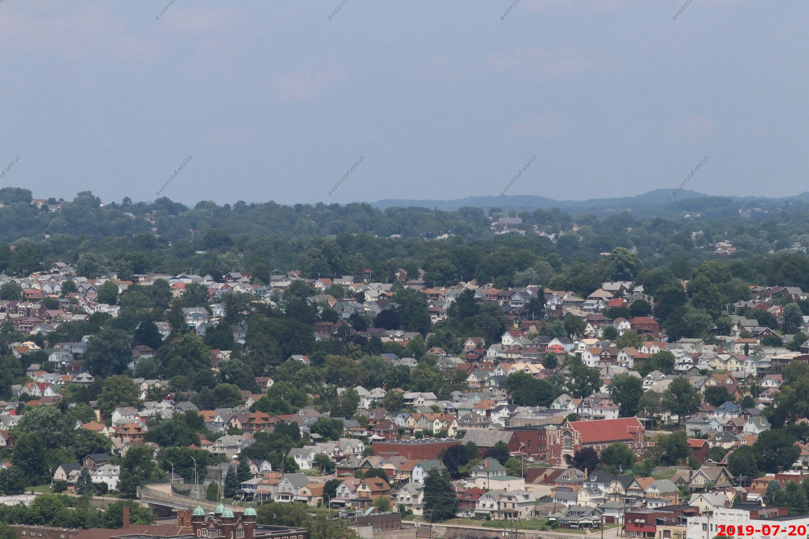
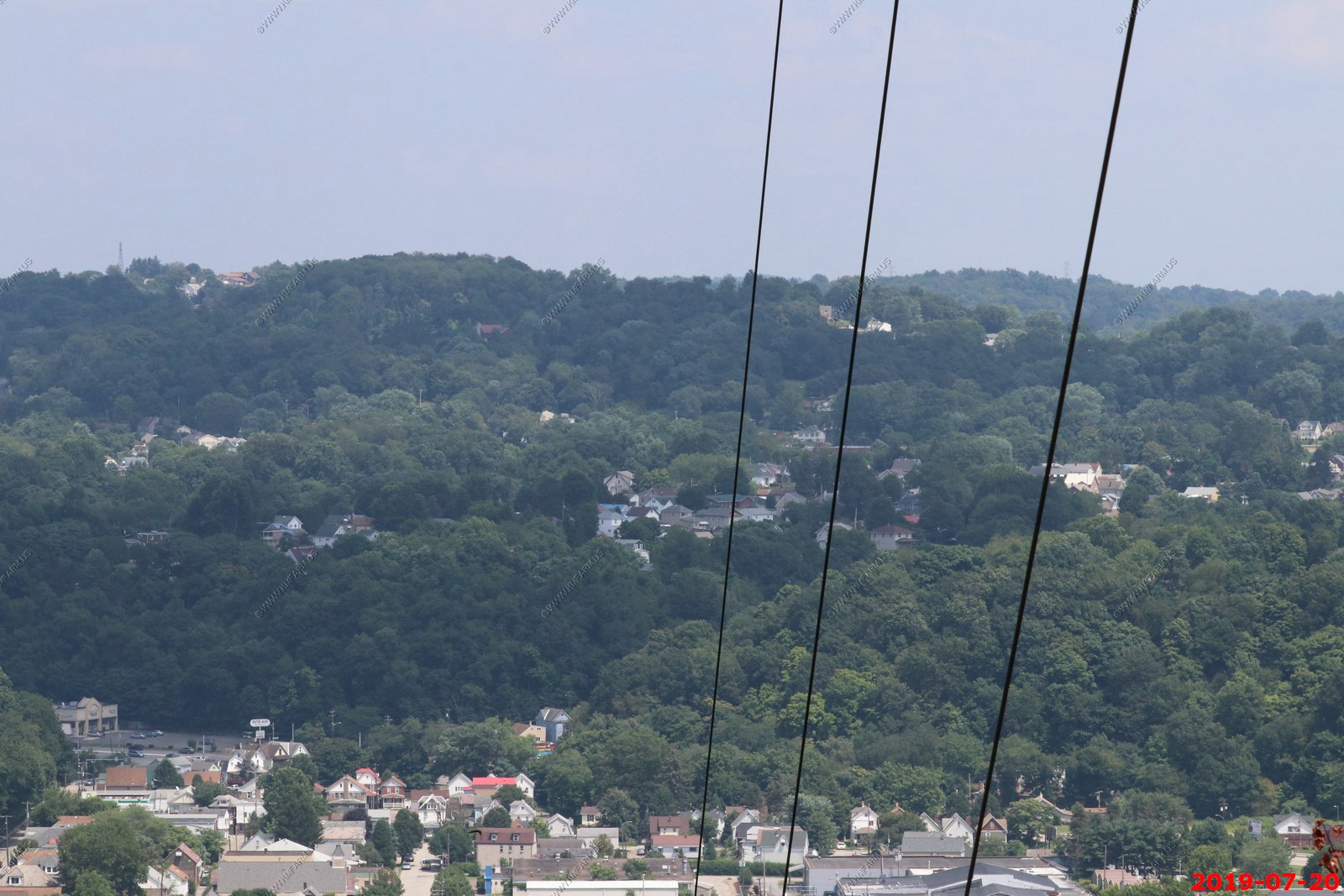
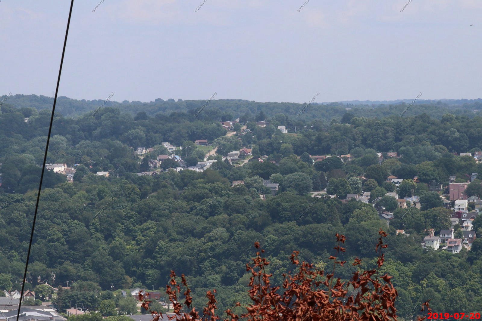
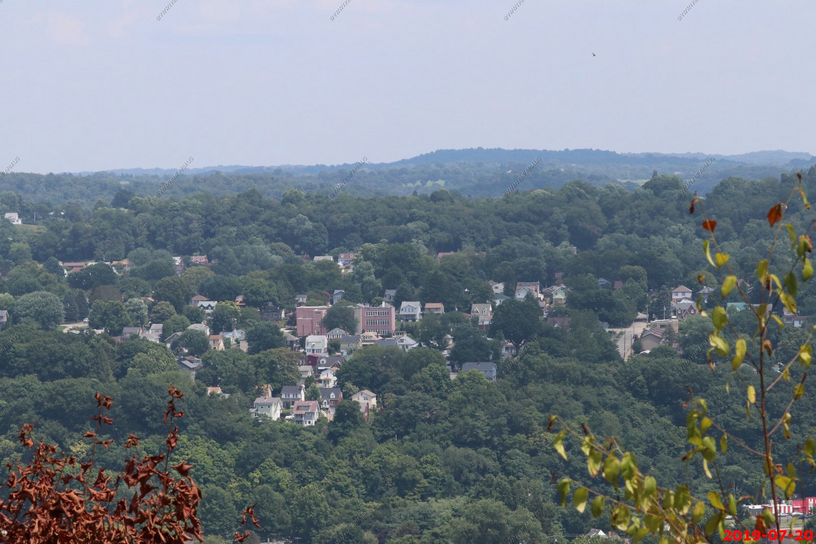
More views - Combined into the wide photo below.
The three images above stictched together (Using PTGui)
NOV-2007 - Views of New Kensington, Pennsylvania from Agan Park.
Agan Park is located across the river from New Kensington at a appx. elevation of 1,100 feet.
The river is at 760 feet so you have a considerable drop-off for this part of the country.
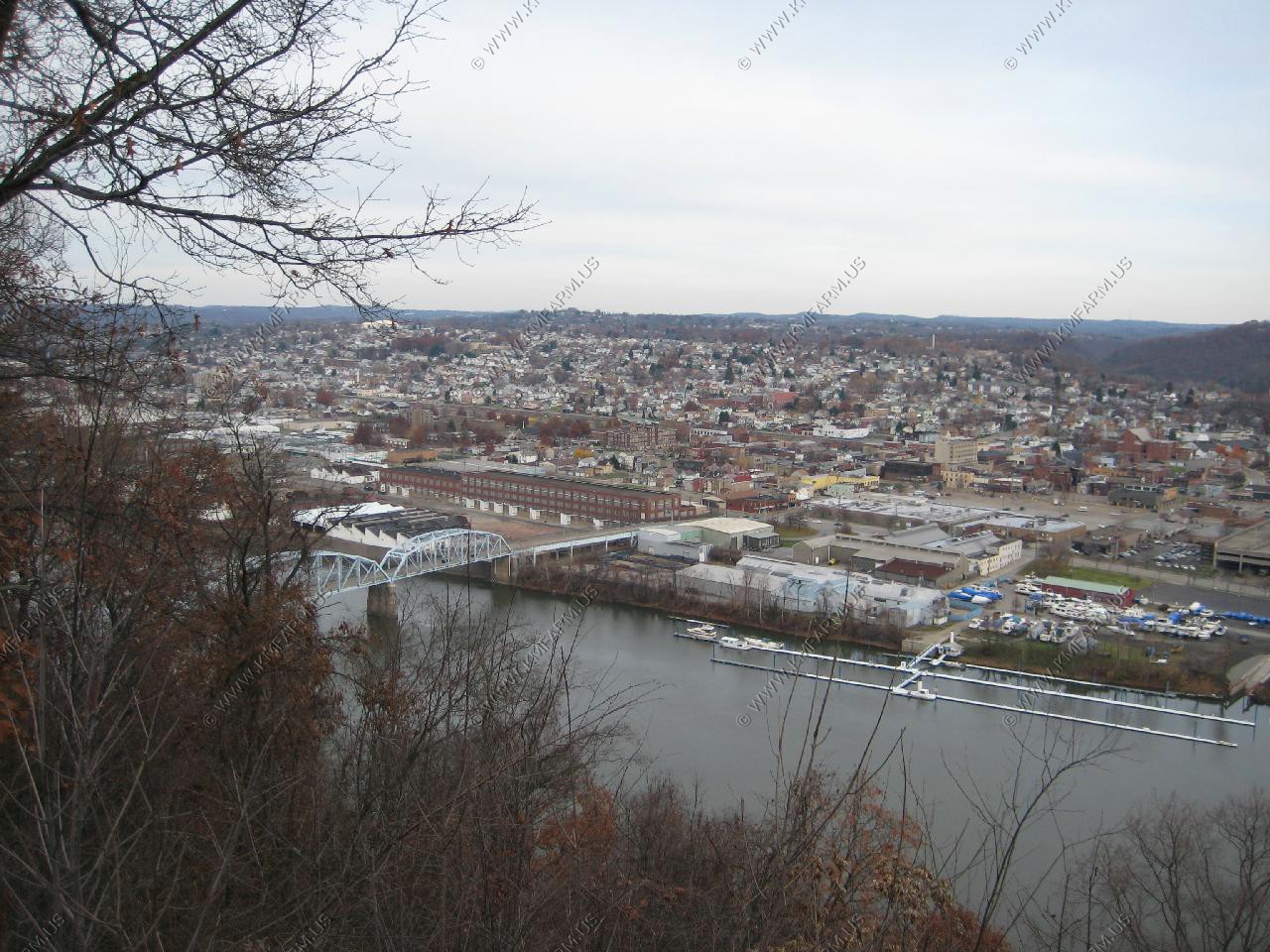
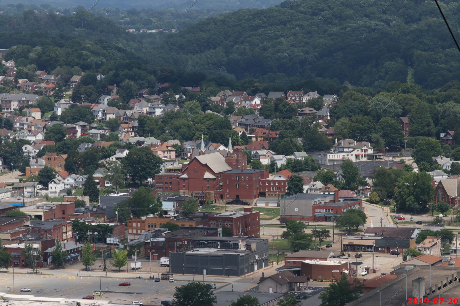
Looking across at Mt. Vernon
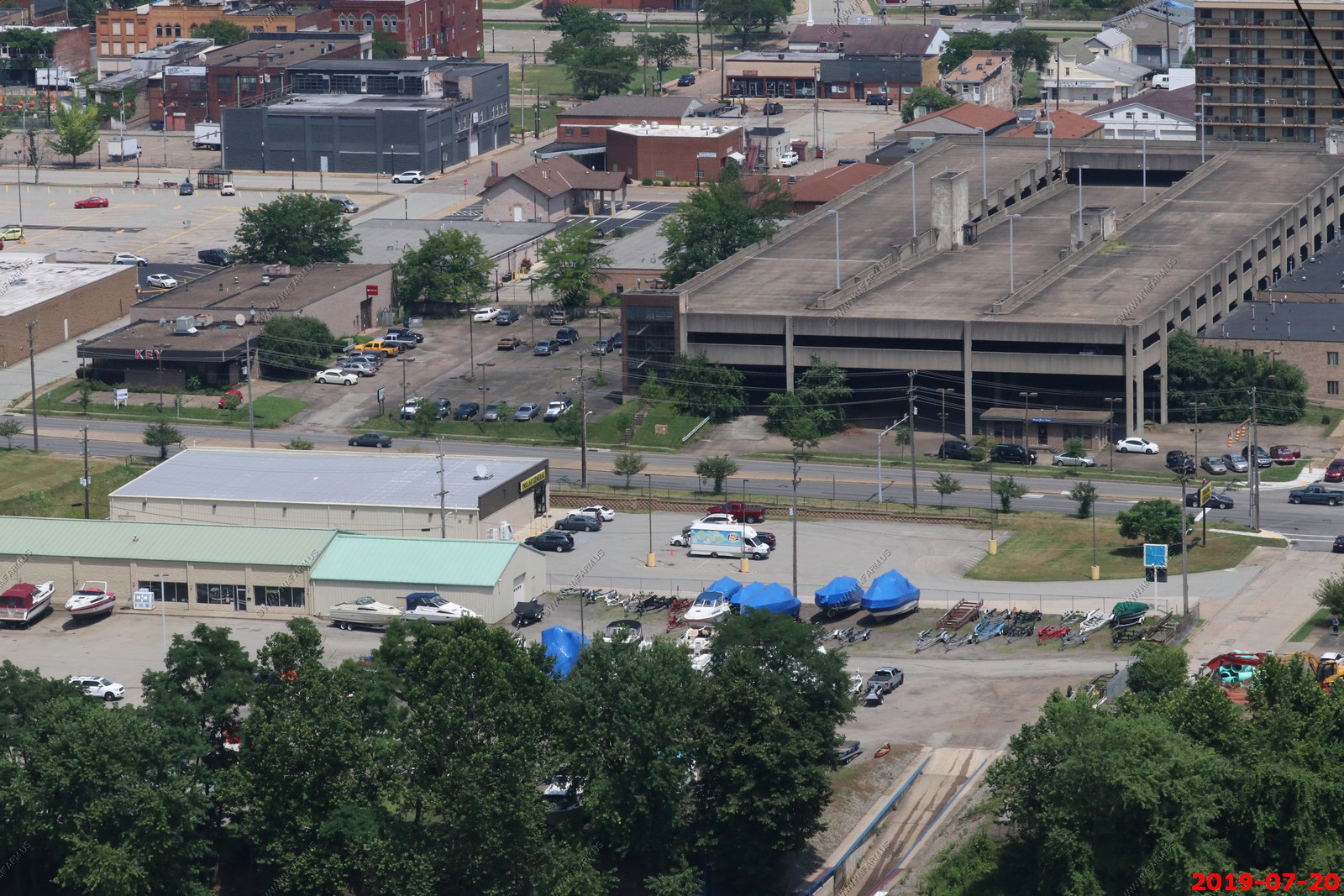
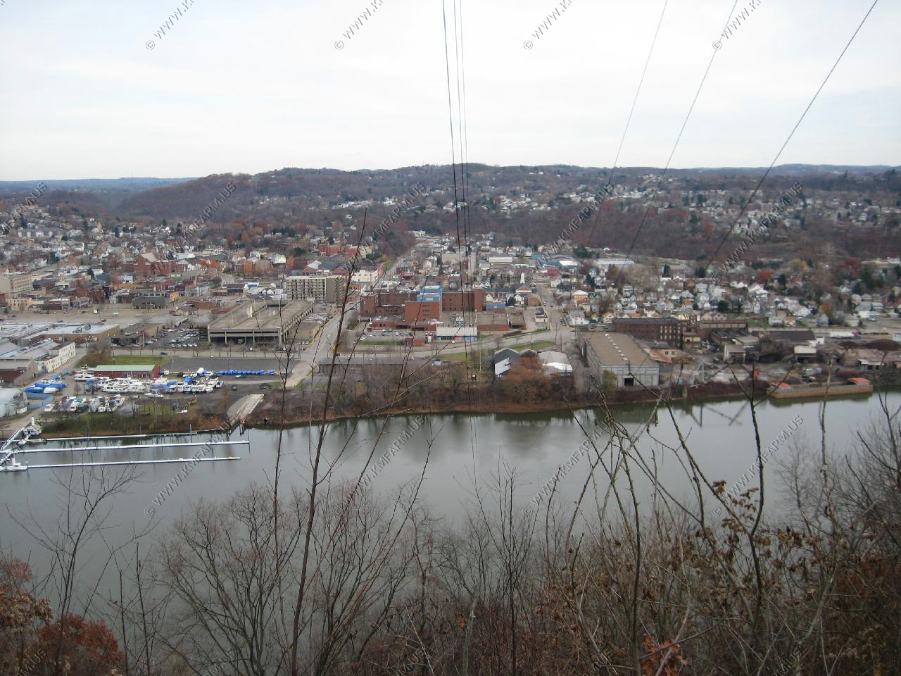
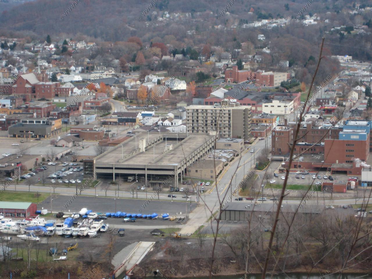
Looking down at the parking garage that was built for the hospital that was closed a few years later. What a waste of $$$
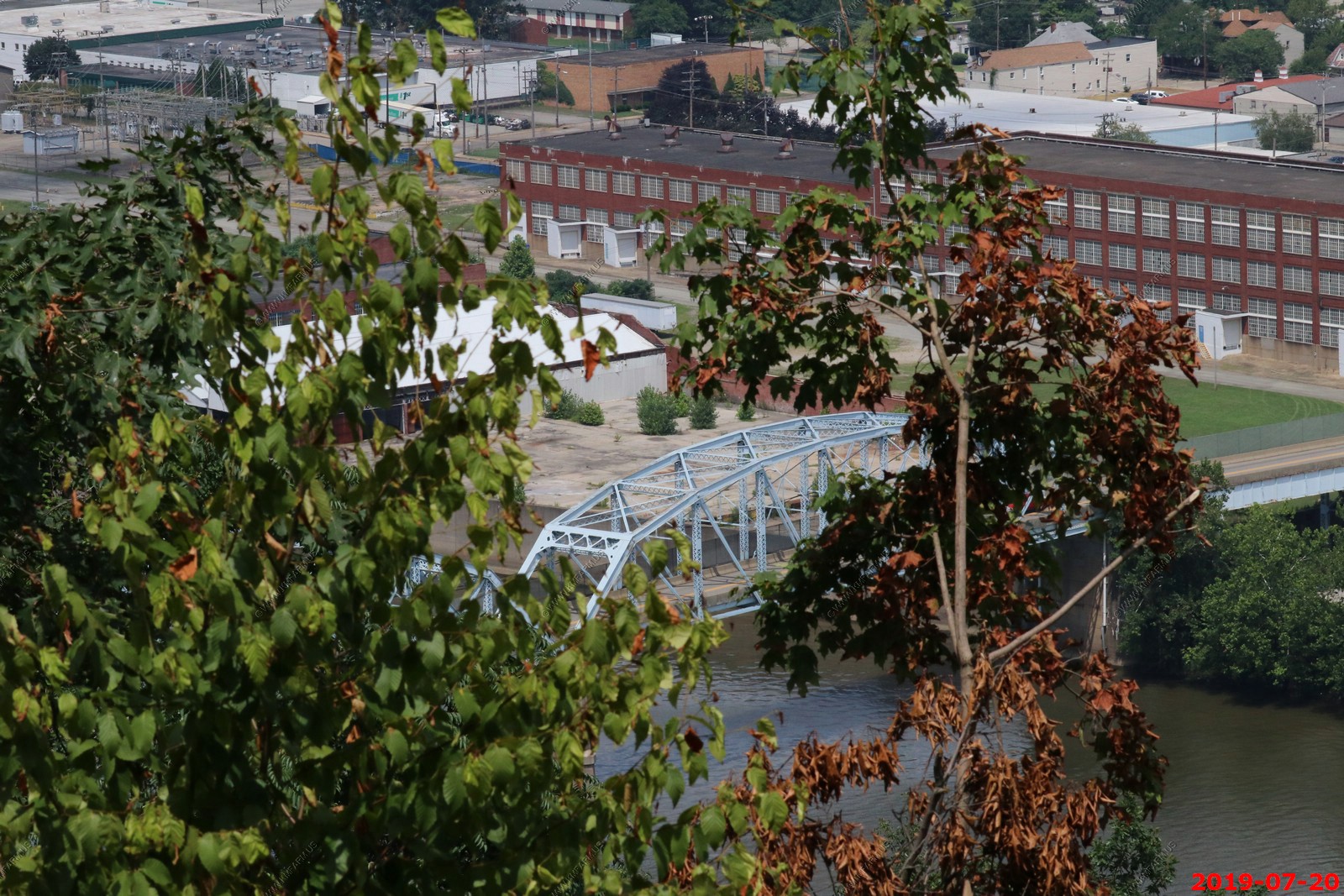
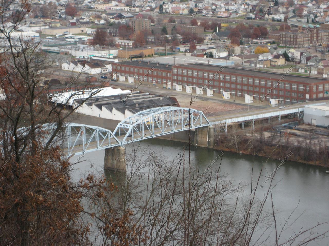
Looking down at the 9th street bridge.
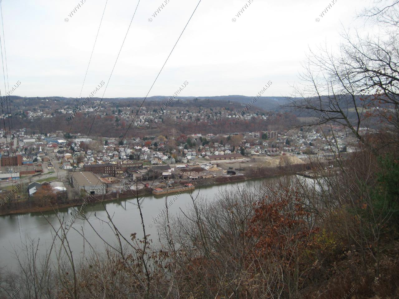
Looking north along the ridgeline
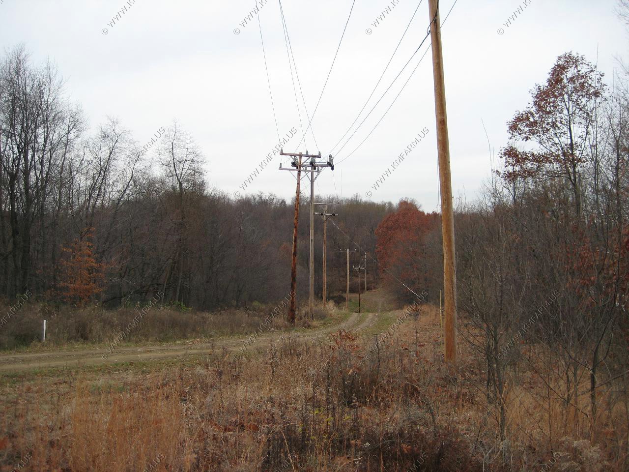
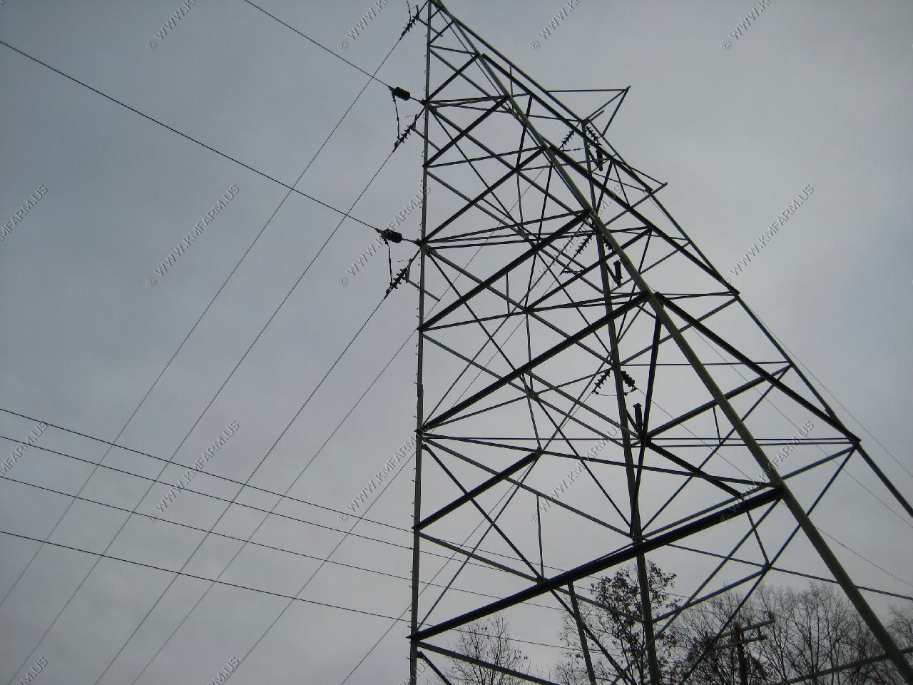
Looking at the wires that run across the river. I wonder when they last inspected them ??
Looking south where the elevation increases. If it was not so muddy I would have explored this area. (Next time)
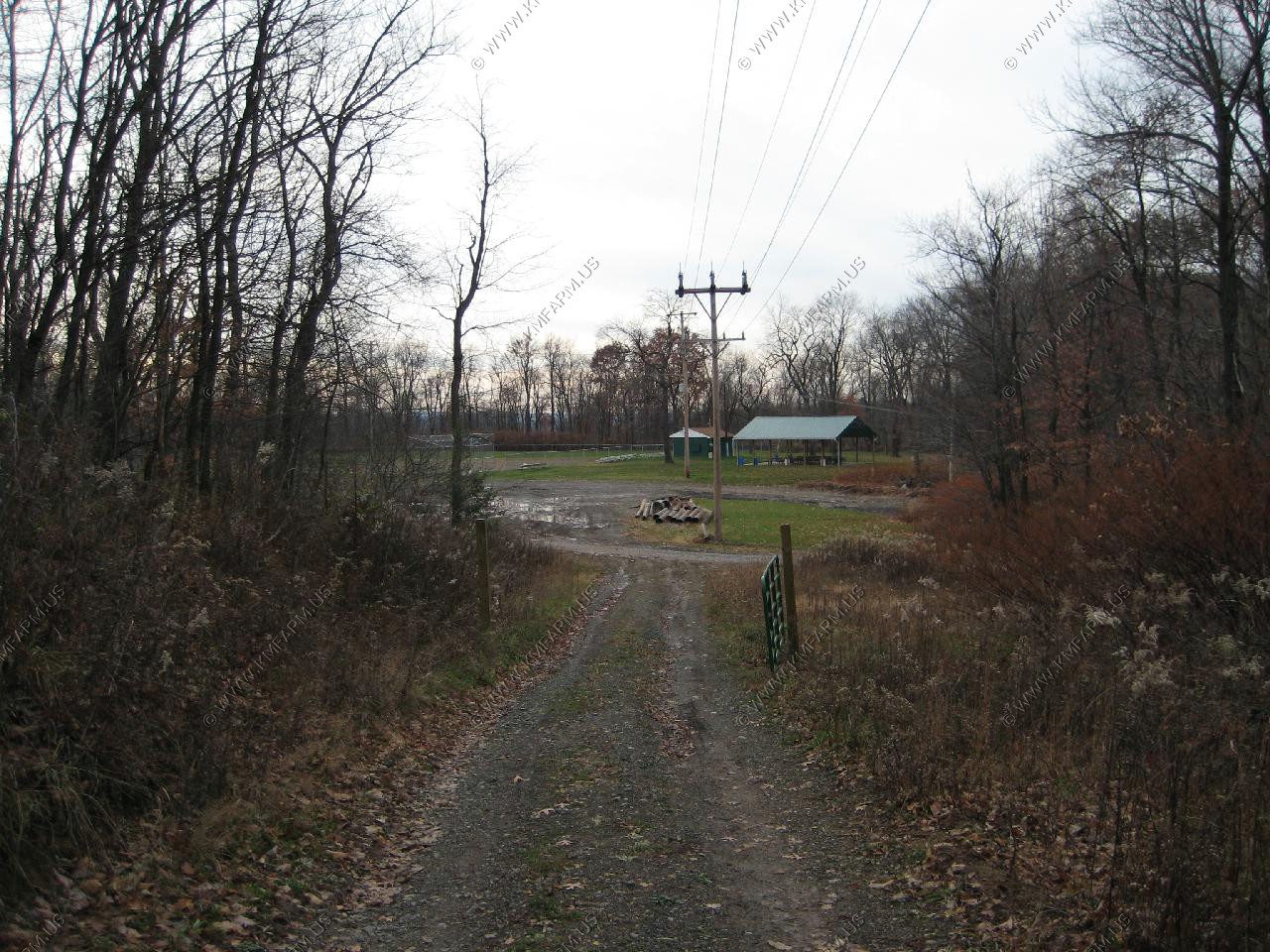
Looking back where I parked. This felt like a very good place to be packing... I was getting a real bad feeling but I was prepared !
Return to Ken and Mary's Geology, Local History, Genealogy, Select Trips, Yearbooks page